- Also available from:
- Stanfords, United Kingdom

Stanfords
United Kingdom
2016
United Kingdom
2016
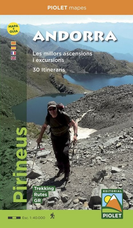
- Andorra Editorial Piolet Map+Guide
- Andorra at 1:40,000 on a contoured and GPS compatible map from Editoral Alpina highlighting both local waymarked routes and GR trails, campsites and other types of tourist accommodations, climbing and canyoning sites, locations of petrol stations on local roads, etc. The map has contours at 20m intervals, enhanced by relief shading and... Read more