De Zwerver
Netherlands
2013
Netherlands
2013
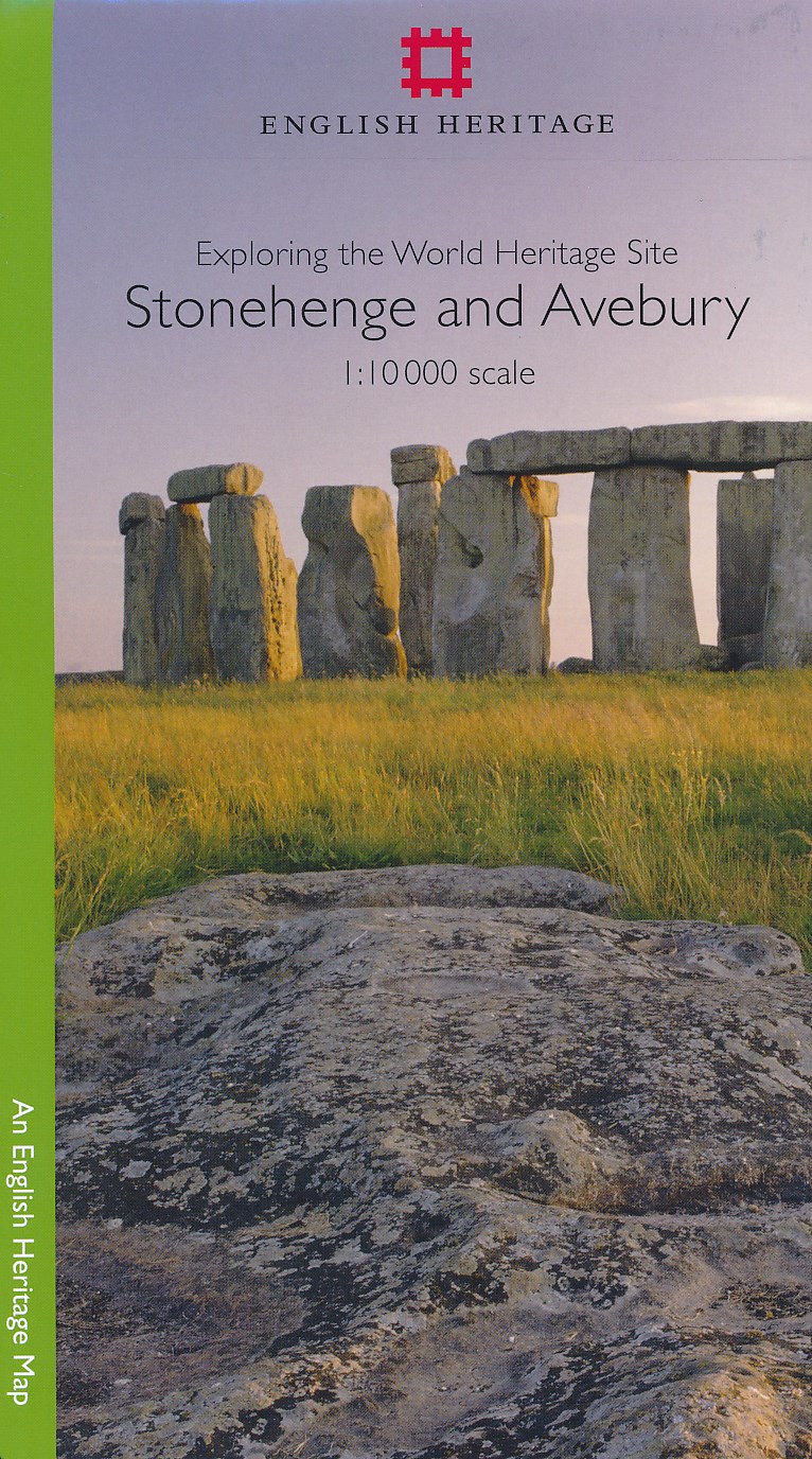
- Historische Kaart Exploring the World Heritage Site - Stonehenge and Avebury | English Heritage
- The Stonehenge and Avebury World Heritage Site is internationally important for its outstanding prehistoric monuments. Stonehenge is the most architecturally sophisticated prehistoric stone circle in the world, while Avebury is the largest. Around them lie numerous other monuments and sites, which demonstrate over 2,000 years of continuous use.... Read more