De Zwerver
Netherlands
Netherlands
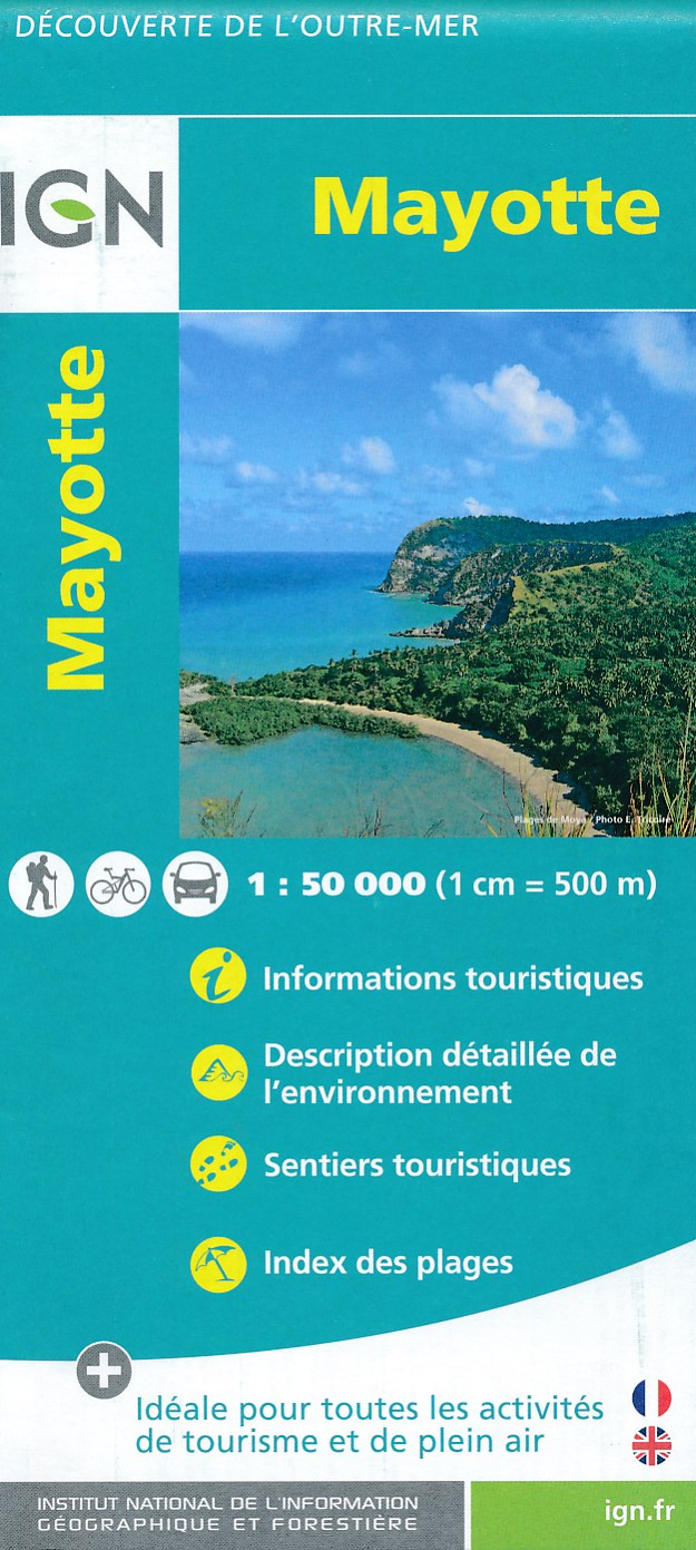
- Fietskaart - Wandelkaart Mayotte | IGN - Institut Géographique National
- MayotteLes cartes routières et touristiques de l?Outre-mer vous permettent de découvrir ces destinations exotiques. Read more
- Also available from:
- Stanfords, United Kingdom

Stanfords
United Kingdom
United Kingdom
- Mayotte IGN Map 84976
- Mayotte at 1:50,000 on a contoured and GPS compatible map from the IGN, with plans of Mazoudzou and Dzaoudzi, plus an index of beaches. Topography is shown by contours at 20m intervals with relief shading and spot heights, plus colouring and/or graphics for different types of vegetation. In the surrounding waters coral reefs are prominently... Read more