De Zwerver
Netherlands
2019
» Click to open
Stanfords
United Kingdom
2019
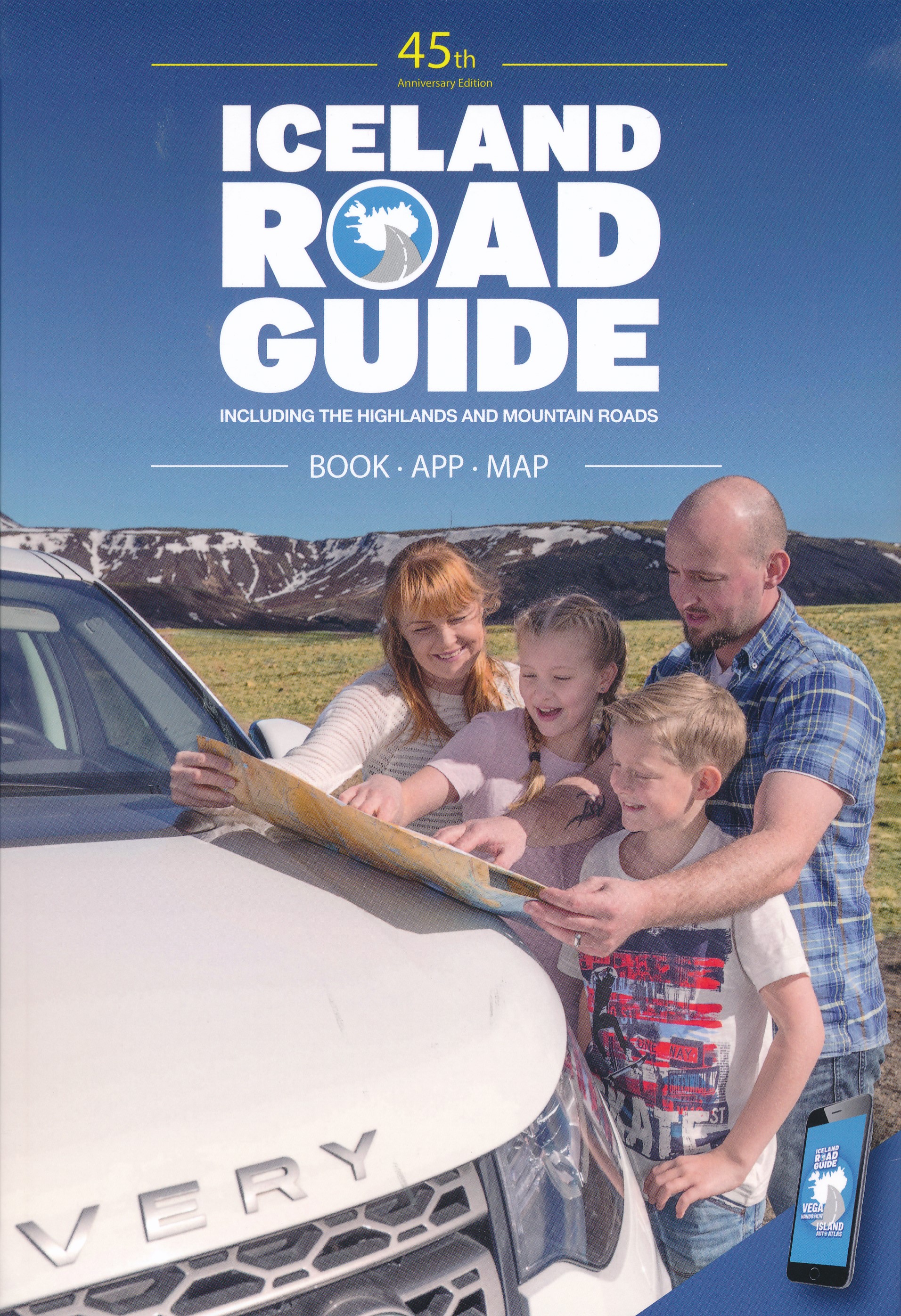
  • Iceland Road Guide
  • Iceland Road Guide from Vegahandbókin, an exceptionally comprehensive, 605-page guide with region-by-region descriptions of sites accompanied by road maps and street plans, plus a separate road atlas section covering the whole country at 1:500,000 and information on a wide variety of tourism relating topics to help the user get the best of... Read more
» Click to close
De Zwerver
Netherlands
2022
De Zwerver
Netherlands
De Zwerver
Netherlands
» Click to open
Stanfords
United Kingdom
  • Mt Ushba - Mestia Geoland 10
  • Mt Ushba - Mestia area of the Caucasus Mountains in Georgia at 1:50,000 on a double-sided, contoured and GPS compatible map from Geoplan, with an overprint providing tourist information including local accommodation and sights. This is the PAPER edition of the map, which is also available in a waterproof and tear-resistant version.Maps in this... Read more
» Click to close
De Zwerver
Netherlands
De Zwerver
Netherlands
» Click to open
Stanfords
United Kingdom
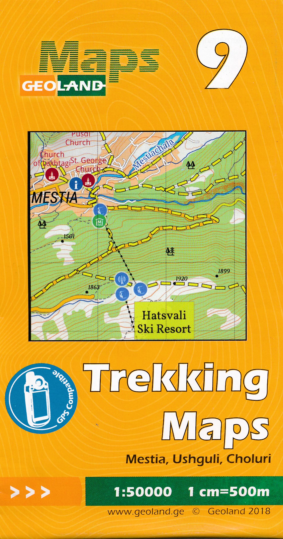
  • Mestia - Ushguli - Lashkheti Geoland 9
  • Mestia - Ushguli - Lashkheti area of the Caucasus Mountains in Georgia at 1:50,000 on a double-sided, contoured and GPS compatible map from Geoplan, with an overprint providing tourist information including local accommodation and sights. This is the PAPER edition of the map, which is also available in a waterproof and tear-resistant... Read more
» Click to close
De Zwerver
Netherlands
De Zwerver
Netherlands
» Click to open
Stanfords
United Kingdom
  • Khevi - Mt. Kazbegi - Gudauri - Truso Geoland 4
  • Khevi - Mt. Kazbegi - Gudauri - Truso area of the Caucasus Mountains in Georgia at 1:50,000 on a double-sided, contoured and GPS compatible map from Geoplan, with an overprint providing tourist information including local accommodation and sights. This is the PAPER edition of the map, which is also available in a waterproof and tear-resistant... Read more
» Click to close
De Zwerver
Netherlands
» Click to open
Stanfords
United Kingdom
  • Barisakho - Roshka - Juta - Asa Gorge Geoland 3
  • Barisakho - Roshka - Juta - Asa Gorge area of the Caucasus Mountains in Georgia at 1:50,000 on a double-sided, contoured and GPS compatible map from Geoplan, with an overprint providing tourist information including local accommodation and sights. This is the PAPER edition of the map, which is also available in a waterproof and tear-resistant... Read more
» Click to close
De Zwerver
Netherlands
» Click to open
Stanfords
United Kingdom
  • Ushguli - Lashkheti - Mt.Shkhara Geoland 8
  • Ushguli - Lashkheti - Mt.Shkhara area of the Caucasus Mountains in Georgia at 1:50,000 on a double-sided, contoured and GPS compatible map from Geoplan, with an overprint providing tourist information including local accommodation and sights.Maps in this series have contours at 20m intervals, with additional relief shading and numerous spot... Read more
» Click to close
De Zwerver
Netherlands
De Zwerver
Netherlands
» Click to open
Bol.com
Netherlands
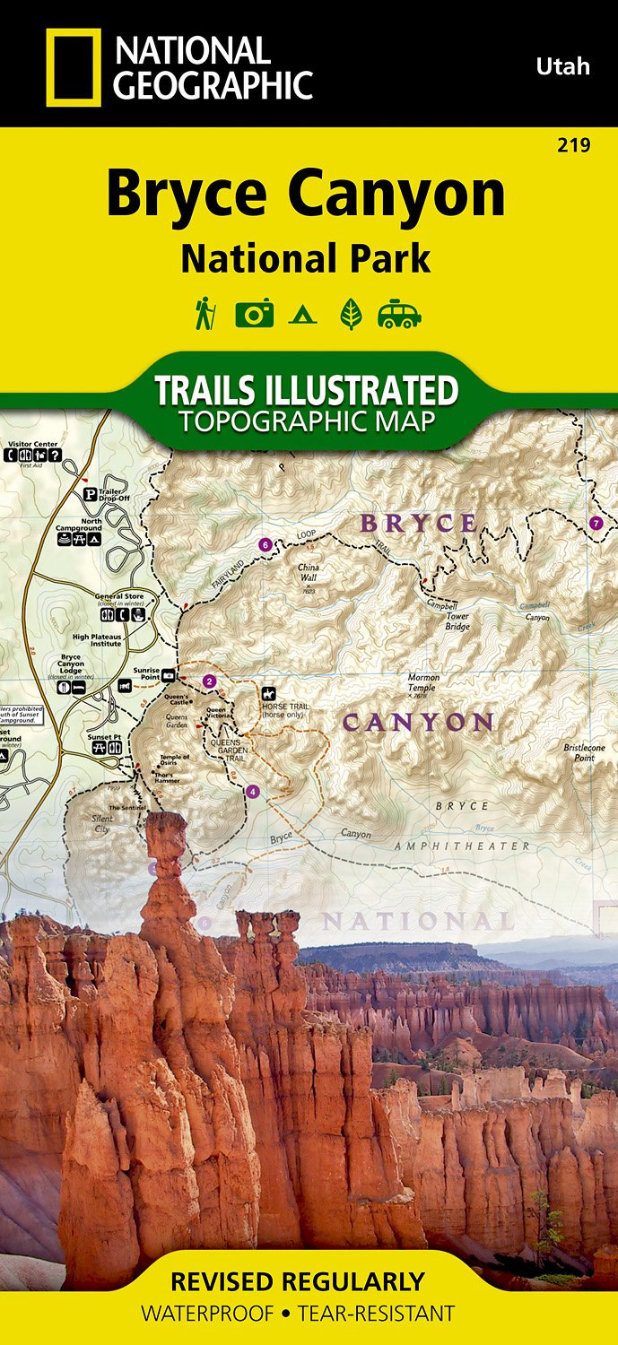
  • Bryce Canyon National Park
  • • Waterproof • Tear-Resistant • Topographic MapNational Geographic's Trails Illustrated map of Bryce Canyon National Park is designed to meet the needs of outdoor enthusiasts by combining valuable information with unmatched detail of this unique landscape of hoodoos and forest. Created in partnership with local land management agencies, this... Read more
Bol.com
Belgium
  • Bryce Canyon National Park
  • • Waterproof • Tear-Resistant • Topographic MapNational Geographic's Trails Illustrated map of Bryce Canyon National Park is designed to meet the needs of outdoor enthusiasts by combining valuable information with unmatched detail of this unique landscape of hoodoos and forest. Created in partnership with local land management agencies, this... Read more
Stanfords
United Kingdom
  • Bryce Canyon National Park UT NGS Trails Illustrated Map 219
  • Map No. 219, Bryce Canyon National Park, UT, in an extensive series of GPS compatible, contoured hiking maps of USA’s national and state parks or forests and other popular recreational areas. Cartography based on the national topographic survey, with additional tourist information.The maps, with most titles now printed on light, waterproof and... Read more
The Book Depository
United Kingdom
» Click to close
De Zwerver
Netherlands
» Click to open
Bol.com
Netherlands
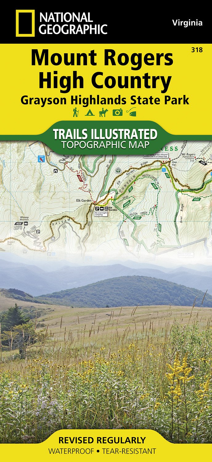
  • Mount Rogers High Country
  • Waterproof Tear-Resistant Topographic MapNational Geographic's Trails Illustrated map of Mount Rogers High Country and Grayson Highlands State Park, Southwest Virginia, is a two-sided, waterproof, topographic trail map designed to meet the needs of outdoor enthusiasts with unmatched durability and detail. This map was created in... Read more
Bol.com
Belgium
  • Mount Rogers High Country
  • Waterproof Tear-Resistant Topographic MapNational Geographic's Trails Illustrated map of Mount Rogers High Country and Grayson Highlands State Park, Southwest Virginia, is a two-sided, waterproof, topographic trail map designed to meet the needs of outdoor enthusiasts with unmatched durability and detail. This map was created in... Read more
Stanfords
United Kingdom
  • Mount Rogers High Country VA
  • Map No. 318 - Mount Rogers High Country in Virginia in an extensive series of GPS compatible, contoured hiking maps of USA’s national and state parks or forests and other popular recreational areas. Cartography based on the national topographic survey, with additional tourist information.The maps, with most titles now printed on light,... Read more
The Book Depository
United Kingdom
» Click to close
Bol.com
Netherlands
» Click to open
Bol.com
Belgium
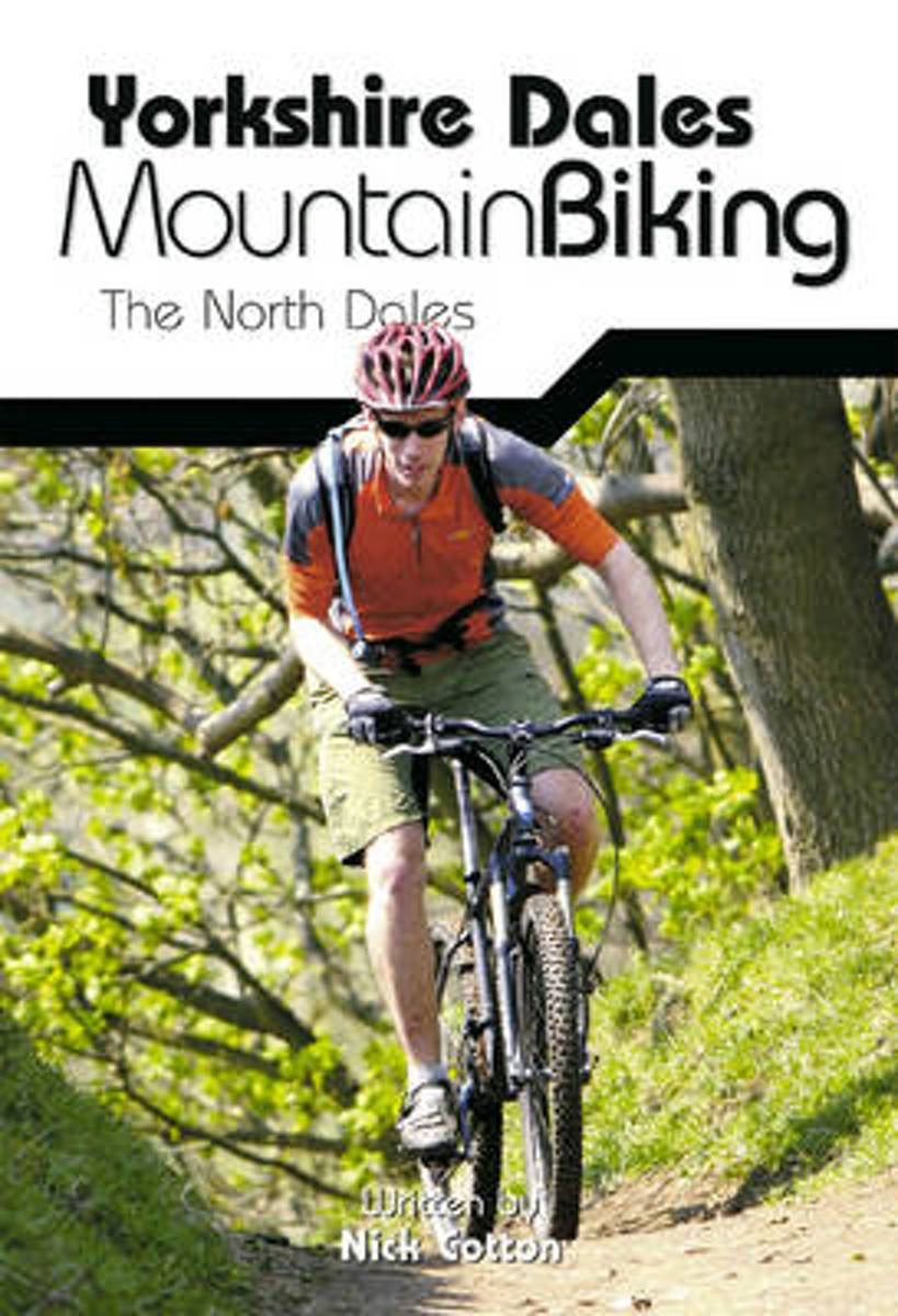
  • Yorkshire Dales Mountain Biking
  • This is a mountain biking guidebook to the Yorkshire Dales. Yorkshire Dales Mountain Biking - The North Dales is a user-friendly guide to the best riding in one of the country's most MTB-friendly national parks. The Yorkshire Dales have the lot: short riverside cruises on good trails, epic rides taking in big views, moorland singletrack and... Read more
Stanfords
United Kingdom
  • Yorkshire Dales Mountain Biking - the North Dales
  • Vertebrate’s guide to mountain biking in the northern Yorkshire Dales covers 24 recommended mountain bike trails, routes and rides ranging from 8km to 53km. The routes themselves have been devised and tested by local riders to help you get the very best out of the North Dales trails.Each route is described with easy-to-follow instructions,... Read more
» Click to close
Bol.com
Netherlands
» Click to open
Bol.com
Belgium
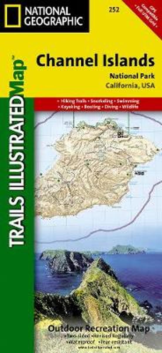
  • Channel Islands National Park
  • Waterproof Tear-Resistant Topographic MapThis two-sided map includes San Miguel Island, Santa Rosa Island, Santa Cruz Island, Santa Barbara Island, and Anacapa Island. The map combines beautiful cartography that shows the topology and natural features of each island, along with hiking trails, camping spots, rest areas, notable ship... Read more
Stanfords
United Kingdom
  • Channel Islands National Park CA NGS Trails Illustrated Map 252
  • Map No. 252, Channel Islands National Parkin California, at 1:25,000/1:50,000 in an extensive series of GPS compatible, contoured hiking maps of USA’s national and state parks or forests and other popular recreational areas. Cartography based on the national topographic survey, with additional tourist information.The maps, with most titles now... Read more
» Click to close