
De Zwerver
Netherlands

De Zwerver
Netherlands
- Wandelkaart 08 Cerdagne Capcir | Rando Editions
- Uitstekende wandelkaart met veel toeristische informatie en bijzonder gedetailleerd. Wandelroute en hutten / campings zijn ingetekend, met hoogtelijnen. Andere dorpen op deze kaart: Ax les Thermes - Massif de l'Aston - Canillo - Soldeu - Mérens les Vals - Porté Puymorens - Mijanès - Puyvalador - Olette - Mont Louis - Font Romeu - Núria -... Read more

Stanfords
United Kingdom
- Cerdagne-Capcir Rando Editions 8
- The Cerdagne-Capcir region of the French Pyrenees, from Ax-les Thermes to Font Romeu and Bourg-Madame, on a contoured and GPS compatible map at 1:50,000 from Rando Editions with topographic base provided by the IGN, highlighting local and long-distance hiking trails, etc. Topography is vividly presented by contours at 20m intervals enhanced by... Read more
De Zwerver
Netherlands

De Zwerver
Netherlands
- Wandelkaart Trekking map Central Pyrenees - Pyreneeën | TerraQuest
- The central part of the French Pyrenees on a waterproof and tear-resistant, contoured and GPS compatible map at 1:50,000 from terraQuest, highlighting hiking trails, campsites and refuges, etc. The map is presented in a special format handy for conveniently viewing just small sections of it at one time.Coverage extends north to the towns... Read more

Stanfords
United Kingdom
- Central Pyrenees terraQuest Trekking Map
- The central part of the French Pyrenees on a waterproof and tear-resistant, contoured and GPS compatible map at 1:50,000 from terraQuest, highlighting hiking trails, campsites and refuges, etc. The map is presented in a special format handy for conveniently viewing just small sections of it at one time.Coverage extends north to the towns... Read more

De Zwerver
Netherlands
- Wandelkaart 05 Luchon | Rando Editions
- Uitstekende wandelkaart met veel toeristische informatie en bijzonder gedetailleerd. Wandelroute en hutten / campings zijn ingetekend, met hoogtelijnen. Andere dorpen op deze kaart: Col d'Aspin - Barbazan - Aspet - le Pla d'Adet - St. Lary Soulan - Val Louran - Col de Peyresourde - Bagnères de Luchon (Frankrijk - Pyreneeen). Carte topographique... Read more

Stanfords
United Kingdom
- Luchon Rando Editions 5
- The Luchon region of the French Pyrenees, around St.Gaudens, the Louron Valley and Bagnères-de-Luchon, on a contoured and GPS compatible map at 1:50,000 from Rando Editions with topographic base provided by the IGN, highlighting local and long-distance hiking trails, cycle and mountain bike routes, etc. Topography is vividly presented by... Read more
De Zwerver
Netherlands

Stanfords
United Kingdom
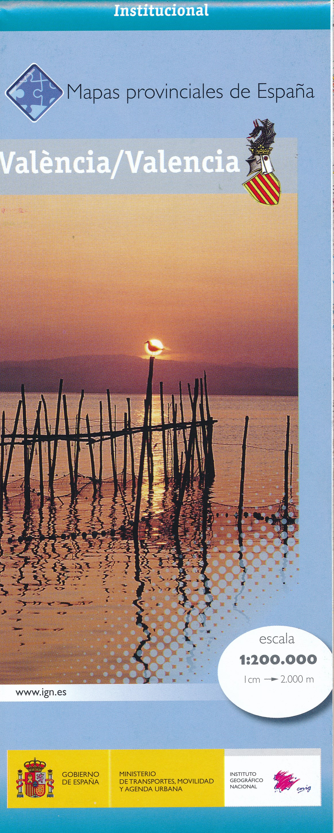
- Valencia Province 200K CNIG Map No. 45
- Contoured, GPS-compatible, indexed road map at 1:200,000 from CNIG - Spain’s civilian survey organization, with exceptionally informative presentation of the landscape and highlighting for facilities and places of interest including campsites and paradors.Maps in CNIG’s 200K Provincial Series provide an excellent picture the topography through... Read more

De Zwerver
Netherlands

De Zwerver
Netherlands
- Wandelkaart Pass'Aran - Couserans - Aran | Editorial Alpina
- A cross-border circuit in the Pyrenees linking the Couserans section of the GR10 in France with a route in the upper part of the Val d’Aran in Spain, presented by Editorial Alpina on a contoured and GPS compatible map at 1:25,000, accompanied by a booklet with stage-by-stage descriptions and contact details for refuges.The map has contours at... Read more

Stanfords
United Kingdom
- Pass`Aran Circuit: Couserans - Val d`Aran
- A cross-border circuit in the Pyrenees linking the Couserans section of the GR10 in France with a route in the upper part of the Val d’Aran in Spain, presented by Editorial Alpina on a contoured and GPS compatible map at 1:25,000, accompanied by a booklet with stage-by-stage descriptions and contact details for refuges.The map has contours at... Read more

De Zwerver
Netherlands

Stanfords
United Kingdom
- Collioure-Cadaqués Rando Editions 11
- The easternmost part of the French Pyrenees, including Perpignan and the resorts on the Mediterranean coast, on a contoured and GPS compatible map at 1:50,000 from Rando Editions with topographic base provided by the IGN, highlighting local and long-distance hiking trails, etc. Topography is shown by contours at 20m intervals enhanced by... Read more
De Zwerver
Netherlands
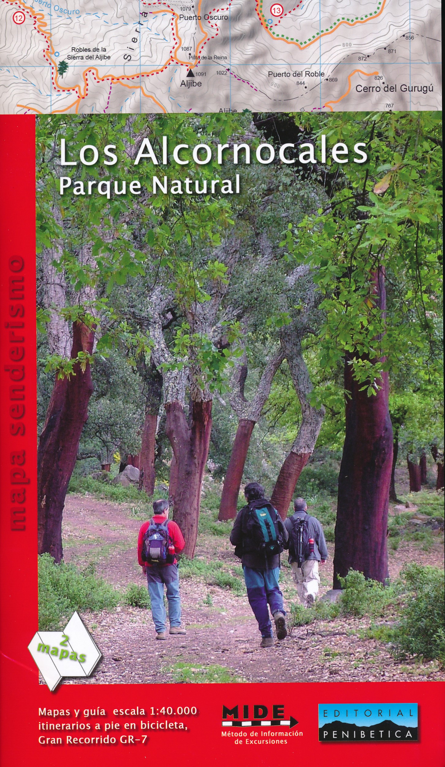
- Wandelkaart Los Alcornocales Parque Natural GR7 | Editorial Penibetica
- Een zeer uitgebreide wandelkaart van het nationale park Los Alcornocales, gelegen ten zuiden van Grazalema tot en met de kust richting Tarifa en Gibraltar. Inclusief een Spaanstalig gidsje met enkele beschreven wandelingen. Op de kaart worden hoogtelijnen, plaatselijke voorzieningen, wandelroutes en andere outdooractiviteiten meegenomen. GPS... Read more

De Zwerver
Netherlands

Stanfords
United Kingdom
- Haute-Ariége Rando Editions 7
- The Haute-Ariége region of the French Pyrenees, from Foix to Pica d`Estats and the Col de Puymorens, on a contoured and GPS compatible map at 1:50,000 from Rando Editions with topographic base provided by the IGN, highlighting local and long-distance hiking trails, etc. Topography is vividly presented by contours at 20m intervals enhanced by... Read more
De Zwerver
Netherlands

Stanfords
United Kingdom
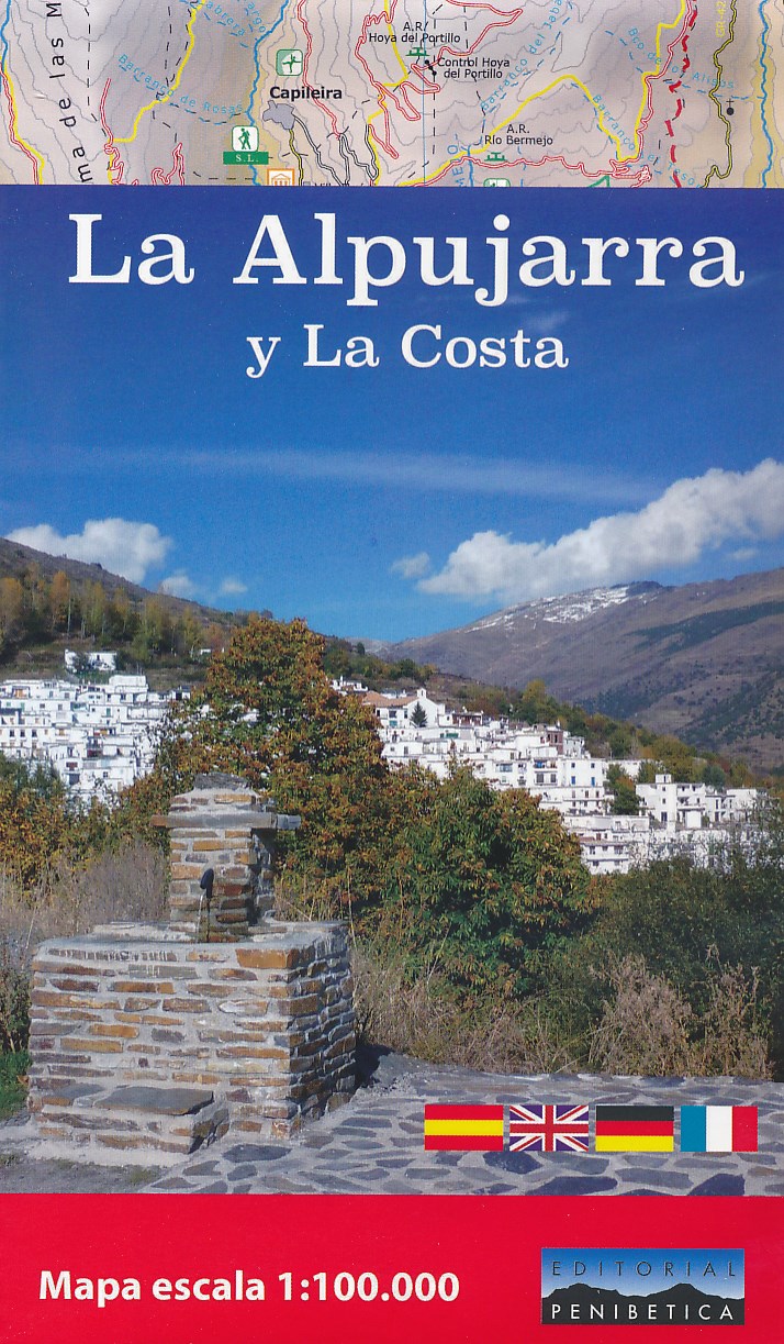
- La Alpujarra and La Costa Editorial Penibetica
- The Alpujarra region of Andalucía on an indexed, contoured map at 1:100,000 from Editorial Penibetica, extending from the coast between Motril and Roquetas de Mar across southern slopes of the Sierra Nevada to its peaks including Mulhacén. On the reverse are multilingual descriptions and photos of various places of interest.Coverage extends... Read more

De Zwerver
Netherlands
- Wandelkaart 06 Couserans - Val D'aran | Rando Editions
- Uitstekende wandelkaart met veel toeristische informatie en bijzonder gedetailleerd. Wandelroute en hutten / campings zijn ingetekend, met hoogtelijnen. Andere dorpen op deze kaart: PN d'Aigües Tortes - St. Girons - Massat - Guzet Neige - Aulus les Bains (Frankrijk - Pyreneeen). GPS Compatible Read more

Stanfords
United Kingdom
- Couserans-Val d`Aran Rando Editions 6
- The Couserans region of the French Pyrenees, from St-Girons to Pic de Maubermé and Pica d’Estats, on a contoured and GPS compatible map at 1:50,000 from Rando Editions with topographic base provided by the IGN, highlighting local and long-distance hiking trails, etc. Topography is vividly presented by contours at 20m intervals enhanced by... Read more

De Zwerver
Netherlands

Stanfords
United Kingdom
- Pays Basque West Rando Editions 1
- The westernmost section of the French Pyrenees between the Atlantic coast and St-Jean-Pied-de-Port on a contoured and GPS compatible map at 1:50,000 from Rando Editions with topographic base provided by the IGN, highlighting local and long-distance hiking trails, cycle and mountain bike routes, etc. Coverage along the Atlantic coast starts at... Read more

De Zwerver
Netherlands
- Wandelkaart 02 Pays Basque Est | Rando Editions
- Uitstekende wandelkaart met veel toeristische informatie en bijzonder gedetailleerd. Wandelroutes en GR paden en hutten / campings zijn ingetekend, met hoogtelijnen. Andere dorpen op deze kaart: Arrette - la Pierre St. Martin - St. Jean Pied de Port (Frankrijk - Pyreneeen) Versant français et espagnol : Barétous; Soule, Basse-Navarre, vallée... Read more

Stanfords
United Kingdom
- Pays Basque East Rando Editions 2
- Western Pyrenees in France from the peaks of Iguzuki and Iparla, across St-Jean-Pied-de-Port and Larrau, to Pic d’Anie on a contoured and GPS compatible map at 1:50,000 from Rando Editions with topographic base provided by the IGN, highlighting local and long-distance hiking trails, cycle and mountain bike routes, etc. Topography is vividly... Read more

