De Zwerver
Netherlands
De Zwerver
Netherlands
De Zwerver
Netherlands
De Zwerver
Netherlands
» Click to open
Bol.com
Netherlands
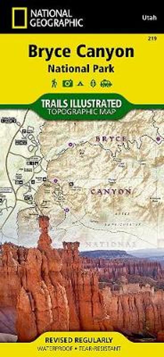
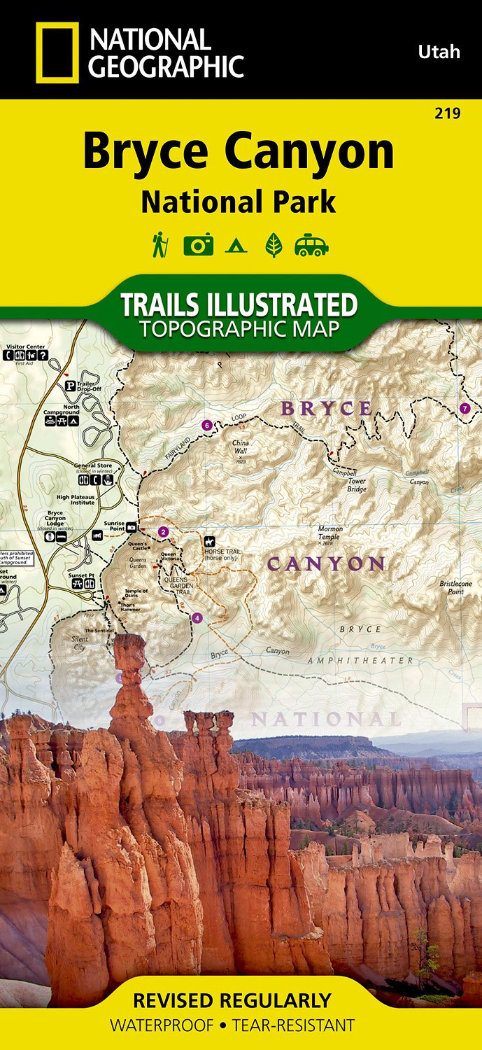
  • Bryce Canyon National Park
  • • Waterproof • Tear-Resistant • Topographic MapNational Geographic's Trails Illustrated map of Bryce Canyon National Park is designed to meet the needs of outdoor enthusiasts by combining valuable information with unmatched detail of this unique landscape of hoodoos and forest. Created in partnership with local land management agencies, this... Read more
Bol.com
Belgium
  • Bryce Canyon National Park
  • • Waterproof • Tear-Resistant • Topographic MapNational Geographic's Trails Illustrated map of Bryce Canyon National Park is designed to meet the needs of outdoor enthusiasts by combining valuable information with unmatched detail of this unique landscape of hoodoos and forest. Created in partnership with local land management agencies, this... Read more
Stanfords
United Kingdom
  • Bryce Canyon National Park UT NGS Trails Illustrated Map 219
  • Map No. 219, Bryce Canyon National Park, UT, in an extensive series of GPS compatible, contoured hiking maps of USA’s national and state parks or forests and other popular recreational areas. Cartography based on the national topographic survey, with additional tourist information.The maps, with most titles now printed on light, waterproof and... Read more
The Book Depository
United Kingdom
» Click to close
De Zwerver
Netherlands
» Click to open
Bol.com
Netherlands
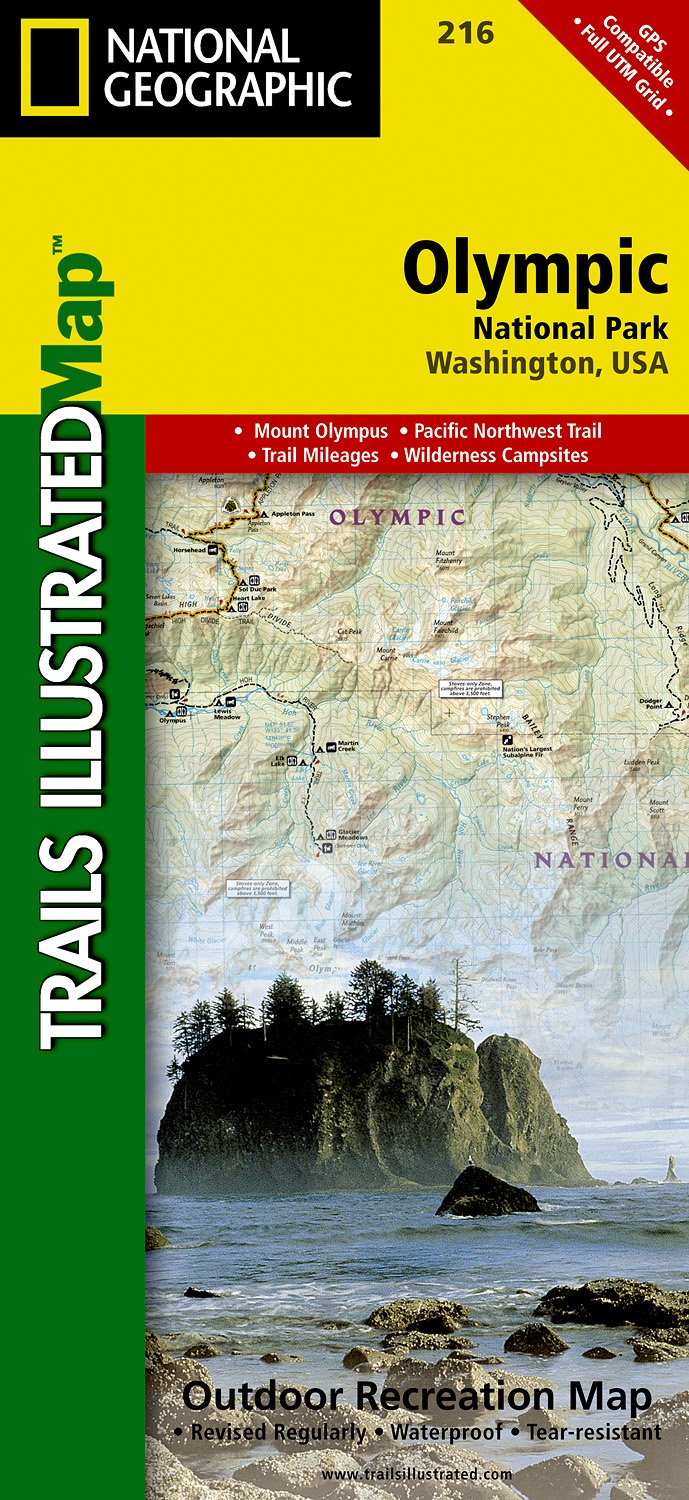
  • Olympic National Park
  • • Waterproof • Tear-Resistant • Topographic MapOlympic National Park encompasses four distinctly different ecosystems in its nearly one million acres. National Geographic's Trails Illustrated map of Olympic National Park offers outdoors enthusiasts a valuable tool for exploring the park's old-growth forests, glaciers, untamed rivers, and rugged... Read more
Bol.com
Belgium
  • Olympic National Park
  • • Waterproof • Tear-Resistant • Topographic MapOlympic National Park encompasses four distinctly different ecosystems in its nearly one million acres. National Geographic's Trails Illustrated map of Olympic National Park offers outdoors enthusiasts a valuable tool for exploring the park's old-growth forests, glaciers, untamed rivers, and rugged... Read more
Stanfords
United Kingdom
  • Olympic National Park WA
  • Map No. 216, Olympic National Park, WA, in an extensive series of GPS compatible, contoured hiking maps of USA’s national and state parks or forests and other popular recreational areas. Cartography based on the national topographic survey, with additional tourist information.The maps, with most titles now printed on light, waterproof and... Read more
» Click to close
De Zwerver
Netherlands
» Click to open
Bol.com
Netherlands
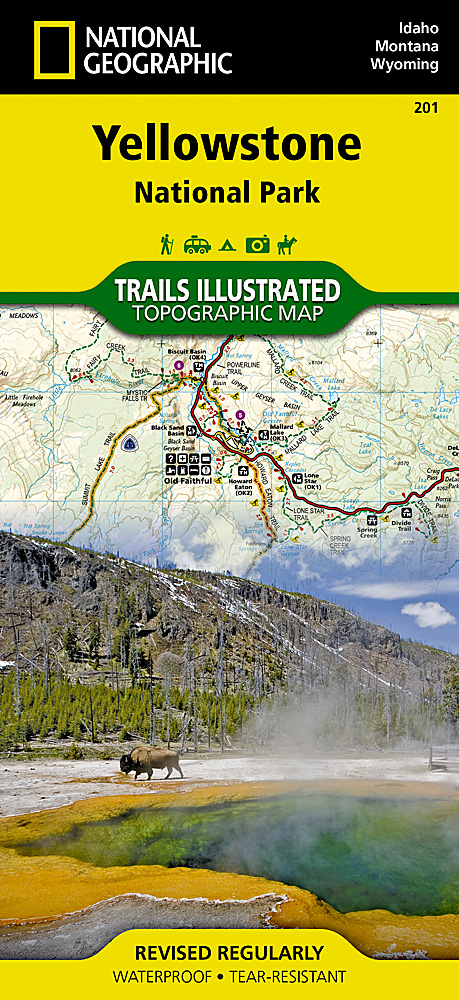
  • Yellowstone National Park
  • • Waterproof • Tear-Resistant • Topographic MapNational Geographic's Trails Illustrated map of Yellowstone National Park is designed to meet the needs of outdoor enthusiasts by combining valuable information with unmatched detail of America's first national park. Expertly researched and created in partnership with local land management... Read more
Bol.com
Belgium
  • Yellowstone National Park
  • • Waterproof • Tear-Resistant • Topographic MapNational Geographic's Trails Illustrated map of Yellowstone National Park is designed to meet the needs of outdoor enthusiasts by combining valuable information with unmatched detail of America's first national park. Expertly researched and created in partnership with local land management... Read more
Stanfords
United Kingdom
  • Yellowstone National Park WY/MT NGS Trails Illustrated Map 201
  • Map No. 201, Yellowstone National Park, WY/MT, in an extensive series of GPS compatible, contoured hiking maps of USA’s national and state parks or forests and other popular recreational areas. Cartography based on the national topographic survey, with additional tourist information.The maps, with most titles now printed on light, waterproof... Read more
The Book Depository
United Kingdom
» Click to close
De Zwerver
Netherlands
» Click to open
Bol.com
Netherlands
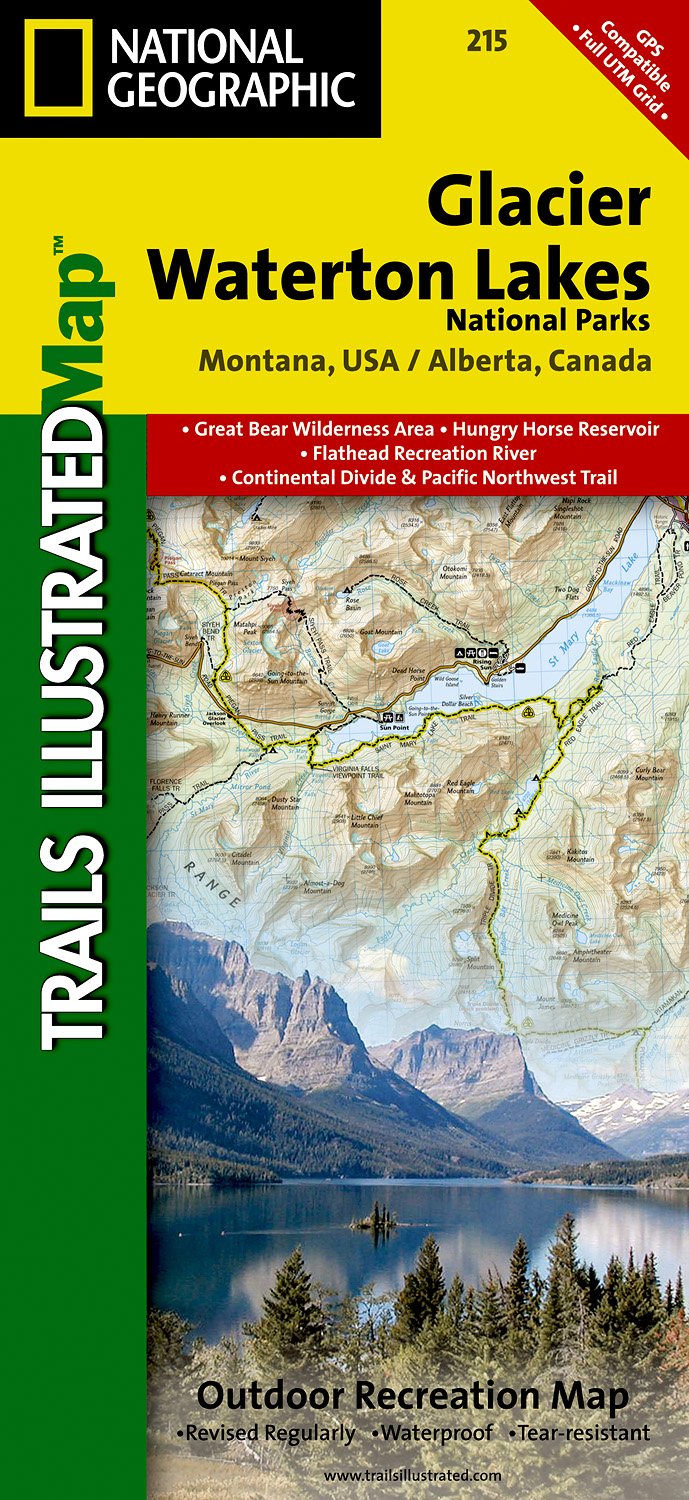
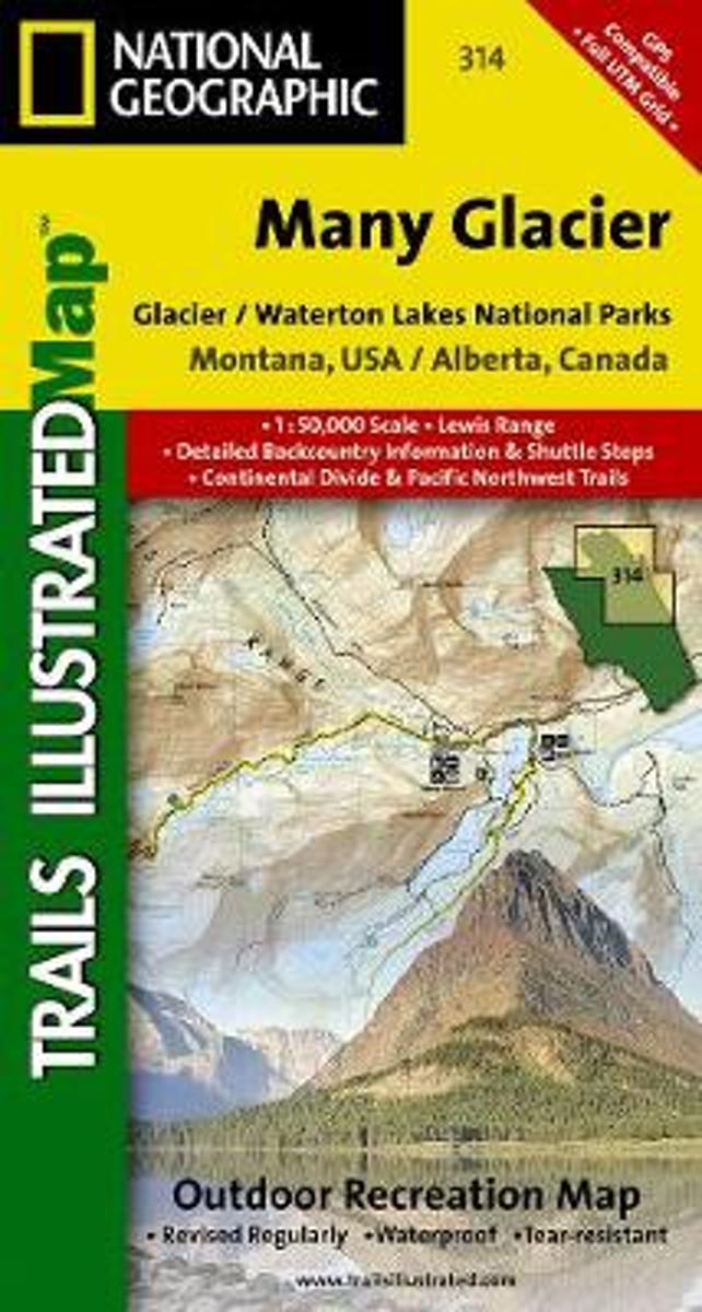
  • Glacier/waterton Lakes National Parks
  • Waterproof Tear-Resistant Topographic MapNational Geographic's Trails Illustrated map of Glacier and Waterton Lakes National Parks offers unparalleled detail for outdoor enthusiasts exploring the pristine landscape of forests, mountains, lakes, and meadows within these two spectacular parks. Created in partnership with local land... Read more
Bol.com
Belgium
  • Glacier/waterton Lakes National Parks
  • Waterproof Tear-Resistant Topographic MapNational Geographic's Trails Illustrated map of Glacier and Waterton Lakes National Parks offers unparalleled detail for outdoor enthusiasts exploring the pristine landscape of forests, mountains, lakes, and meadows within these two spectacular parks. Created in partnership with local land... Read more
Stanfords
United Kingdom
  • Glacier - Waterton Lakes National Park MT
  • Map No. 215, Glacier/Waterton Lakes National Park, MT, in an extensive series of GPS compatible, contoured hiking maps of USA’s national and state parks or forests and other popular recreational areas. Cartography based on the national topographic survey, with additional tourist information.The maps, with most titles now printed on light,... Read more
» Click to close
Bol.com
Netherlands
» Click to open
Bol.com
Belgium
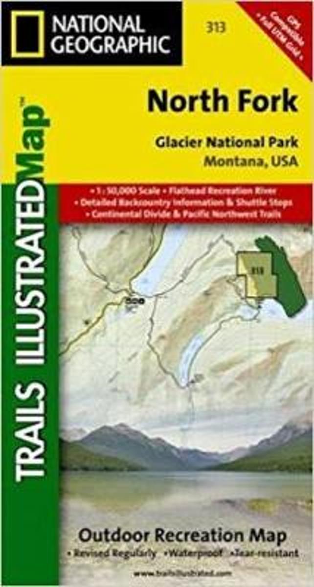
  • North Fork, Glacier National Park
  • • Waterproof • Tear-Resistant • Topographic MapLocated just north of Kalispell in Montana's northwest corner, Glacier National contains an abundance of recreational opportunities for outdoor enthusiasts of all interests.This detailed topographic recreation map contains carefully researched trails, campsites, forest service roads, and... Read more
Stanfords
United Kingdom
  • North Fork - Glacier National Park MT NGS Trails Illustrated Map 313
  • Map No. 314, Glacier National Park: Many Glacier, MT, in an extensive series of GPS compatible, contoured hiking maps of USA’s national and state parks or forests and other popular recreational areas. Cartography based on the national topographic survey, with additional tourist information.The maps, with most titles now printed on light,... Read more
» Click to close
De Zwerver
Netherlands
» Click to open
Bol.com
Netherlands
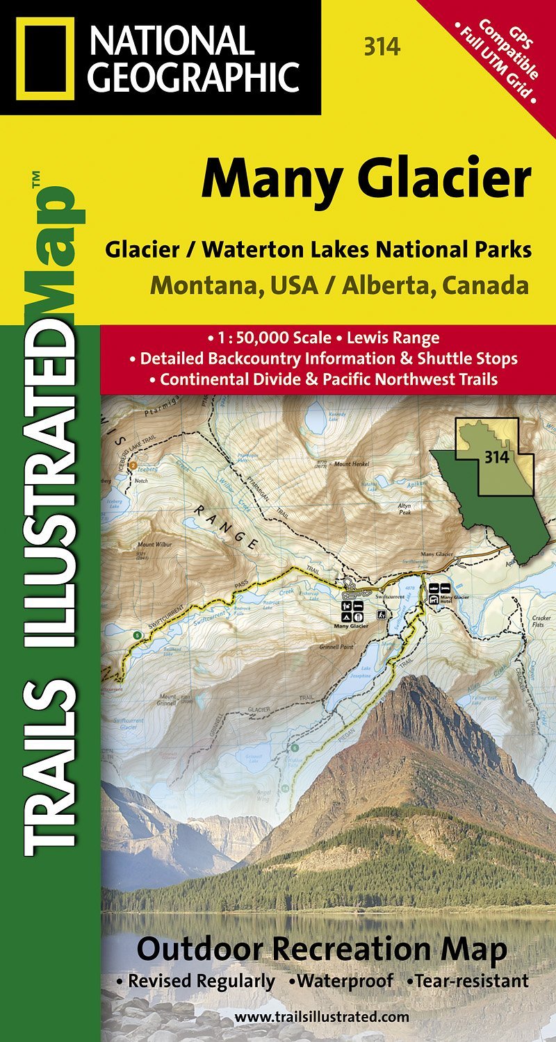
  • Many Glacier, Glacier National Park
  • Waterproof Tear-Resistant Topographic MapLocated just north of Kalispell in Montana's northwest corner, Glacier National contains an abundance of recreational opportunities for outdoor enthusiasts of all interests.This detailed topographic recreation map contains carefully researched trails, campsites, forest service roads, and... Read more
Bol.com
Belgium
  • Many Glacier, Glacier National Park
  • Waterproof Tear-Resistant Topographic MapLocated just north of Kalispell in Montana's northwest corner, Glacier National contains an abundance of recreational opportunities for outdoor enthusiasts of all interests.This detailed topographic recreation map contains carefully researched trails, campsites, forest service roads, and... Read more
Stanfords
United Kingdom
  • Many Glacier - Glacier and Waterton Lakes National Parks MT
  • Map No. 313, Glacier National Park: North Fork, MT, in an extensive series of GPS compatible, contoured hiking maps of USA’s national and state parks or forests and other popular recreational areas. Cartography based on the national topographic survey, with additional tourist information.The maps, with most titles now printed on light,... Read more
» Click to close
De Zwerver
Netherlands
» Click to open
Bol.com
Netherlands
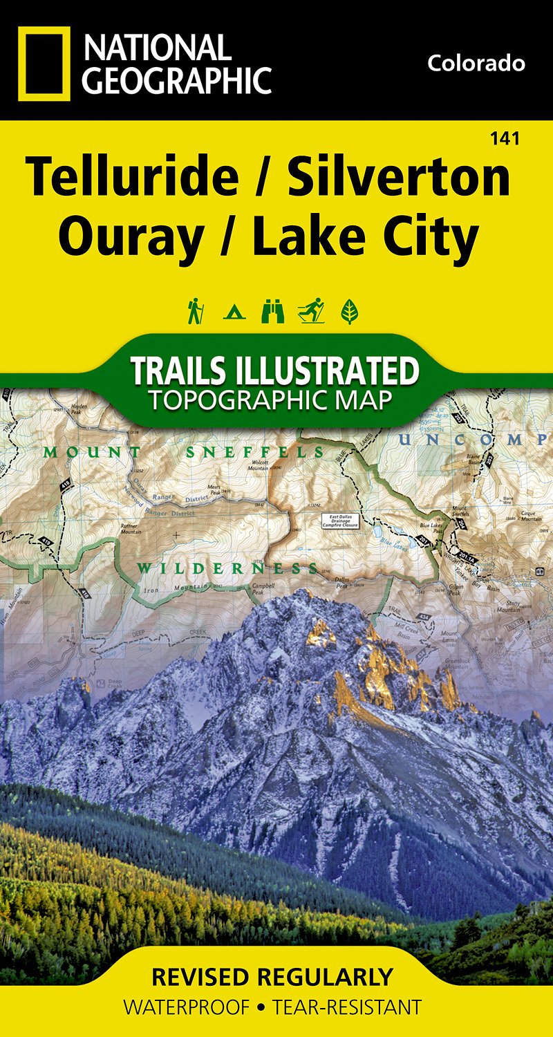
  • Telluride/silverton/ouray/lake City
  • Waterproof Tear-Resistant Topographic MapExpertly researched and created in partnership with local land management agencies, National Geographic's Trails Illustrated map of Telluride, Silverton, Ouray, and Lake City provides an unparalleled tool for exploring this breathtaking region of Colorado. Whatever the season, you'll find this map... Read more
Bol.com
Belgium
  • Telluride/silverton/ouray/lake City
  • Waterproof Tear-Resistant Topographic MapExpertly researched and created in partnership with local land management agencies, National Geographic's Trails Illustrated map of Telluride, Silverton, Ouray, and Lake City provides an unparalleled tool for exploring this breathtaking region of Colorado. Whatever the season, you'll find this map... Read more
Stanfords
United Kingdom
  • Telluride - Silverton - Ouray - Lake City CO
  • Map No. 141, Telluride - Silverton - Ouray - Lake City, CO, in an extensive series of GPS compatible, contoured hiking maps of USA’s national and state parks or forests and other popular recreational areas. Cartography based on the national topographic survey, with additional tourist information.The maps, with most titles now printed on light,... Read more
The Book Depository
United Kingdom
» Click to close
De Zwerver
Netherlands
» Click to open
Bol.com
Netherlands
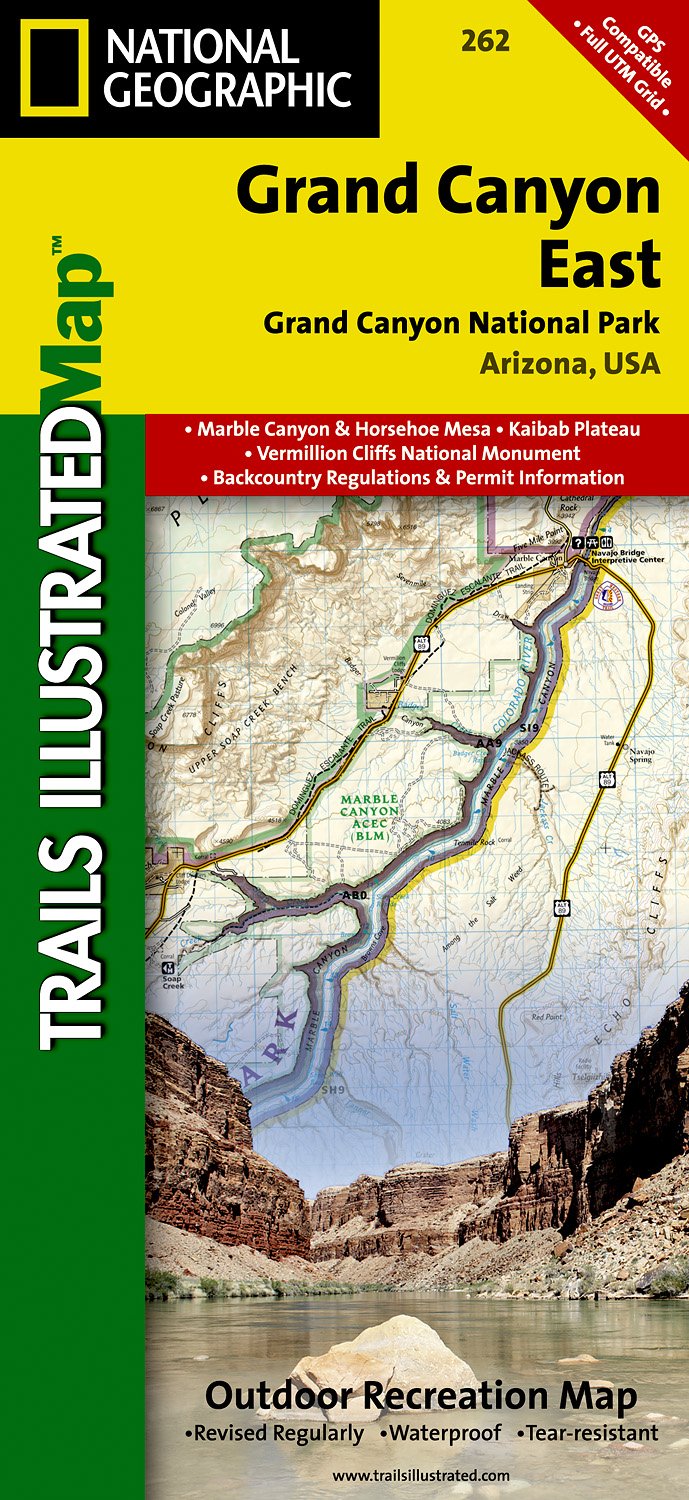
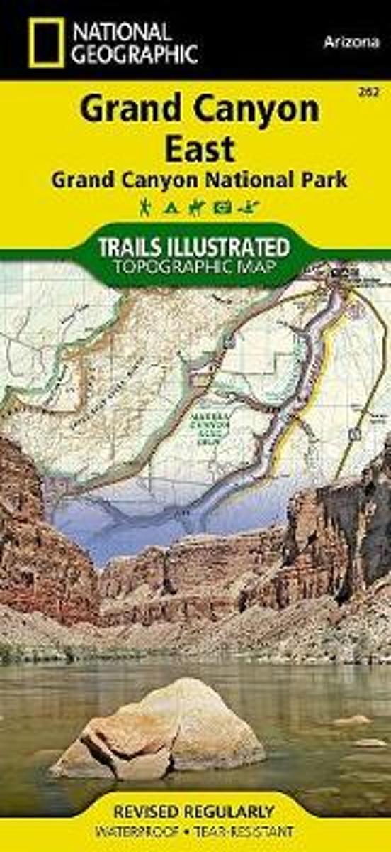
  • Grand Canyon East
  • Waterproof Tear-Resistant Topographic MapGrand Canyon East (#262) and Grand Canyon West (#263) combine to cover the entire Grand Canyon National Park and its bordering public lands. Both maps contain detailed and easy-to-read trail and road networks, locations of facilities, points of interest, and highly accurate terrain with thousands... Read more
Bol.com
Belgium
  • Grand Canyon East
  • Waterproof Tear-Resistant Topographic MapGrand Canyon East (#262) and Grand Canyon West (#263) combine to cover the entire Grand Canyon National Park and its bordering public lands. Both maps contain detailed and easy-to-read trail and road networks, locations of facilities, points of interest, and highly accurate terrain with thousands... Read more
» Click to close
Stanfords
United Kingdom
Stanfords
United Kingdom
» Click to open
The Book Depository
United Kingdom
» Click to close
De Zwerver
Netherlands
» Click to open
Stanfords
United Kingdom
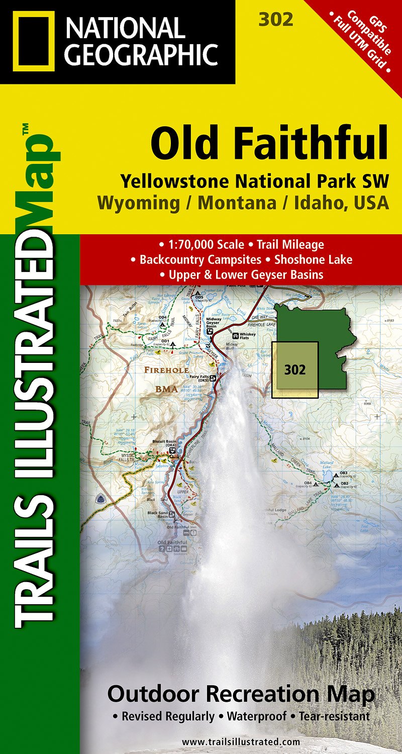
  • Old Faithful - Yellowstone National Park SW WY/MT
  • Map No. 302, Yellowstone SW: Old Faithful, WY/MT, in an extensive series of GPS compatible, contoured hiking maps of USA’s national and state parks or forests and other popular recreational areas. Cartography based on the national topographic survey, with additional tourist information.The maps, with most titles now printed on light, waterproof... Read more
The Book Depository
United Kingdom
» Click to close