De Zwerver
Netherlands
2016
Netherlands
2016
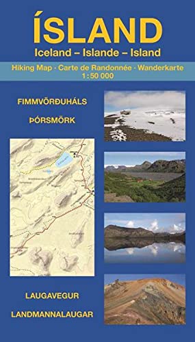
- Wandelgids - Wandelkaart Island - Iceland - IJsland: | Uwe Grunewald
- Wandelkaart in boekvorm van de bekende en spectaculaire wandeltocht van Landmannaulaugar naar Skogar, met ook dagwandelinge ingetekend op de begeleidende kaart. Die Wanderungen entlang des Laugavegur und über den Fimmvörðuháls gehören nicht nur zu den beliebtesten Trekkingtouren Islands, sondern zählen zu den schönsten Mehrtageswanderungen... Read more