De Zwerver
Netherlands
Netherlands
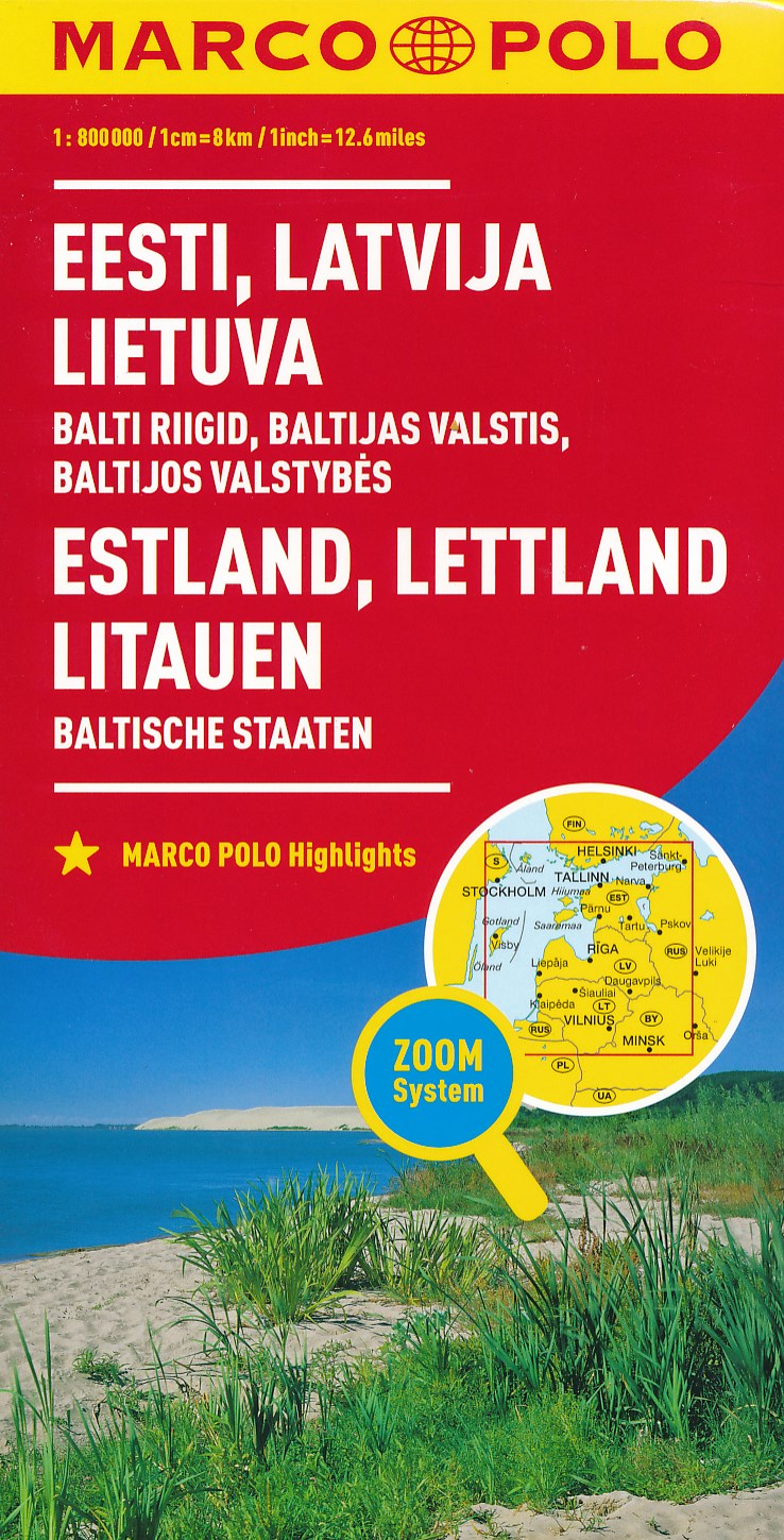
- Wegenkaart - landkaart Baltikum Estland, Letland, Litouwen (Baltische Staten) | Marco Polo
- MARCO POLO Länderkarte Estland, Lettland, Litauen, Baltische Staaten 1: 800 000 ab 11.99 EURO Übersichtskarte zum Ausklappen, Entfernungstabelle, Ortsregister, 3 Citypläne Marco Polo Karte Marco Polo Länderkarte. 5. Auflage, Laufzeit bis 2021 Read more