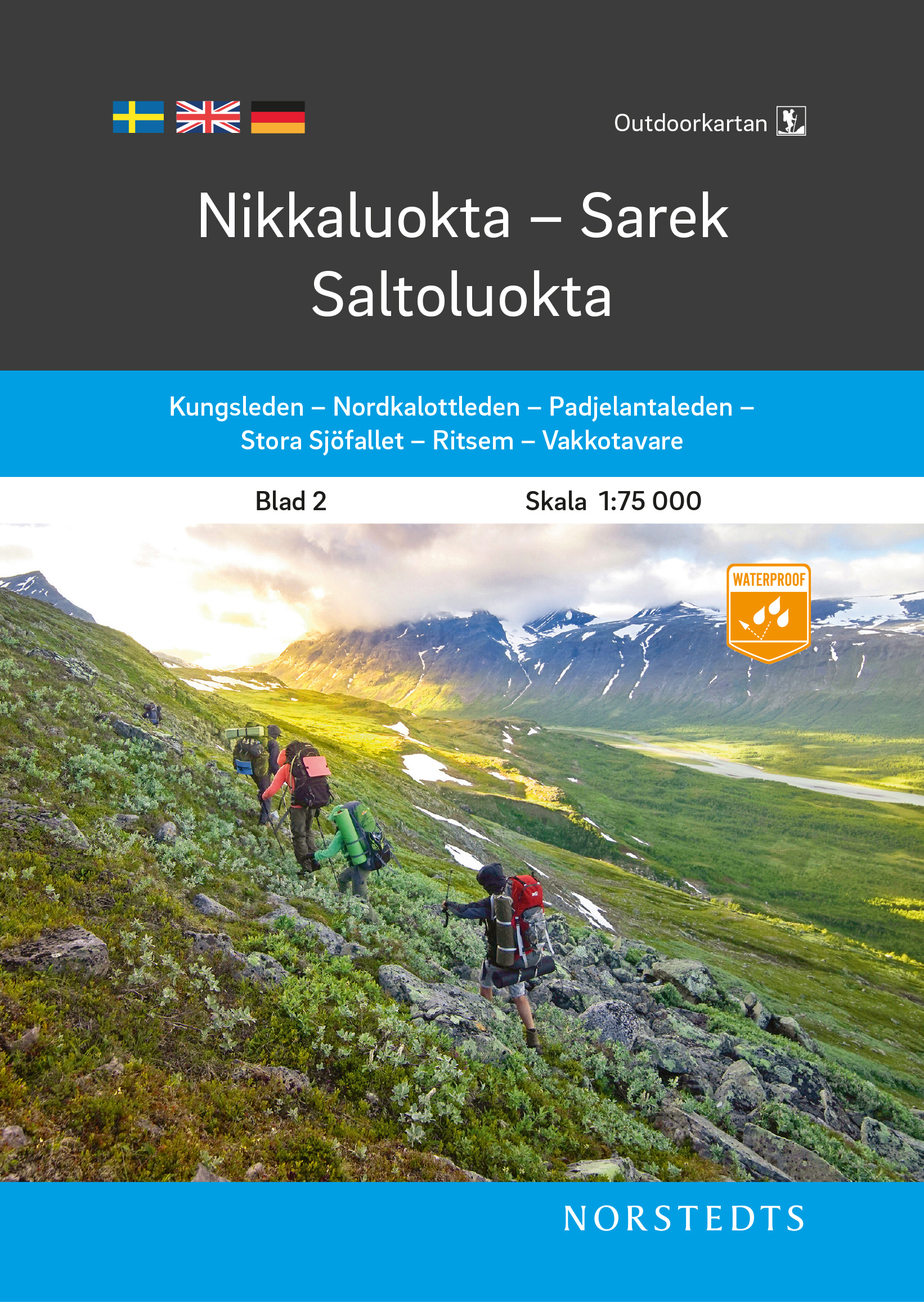
De Zwerver
Netherlands
» Click to open
Stanfords
United Kingdom
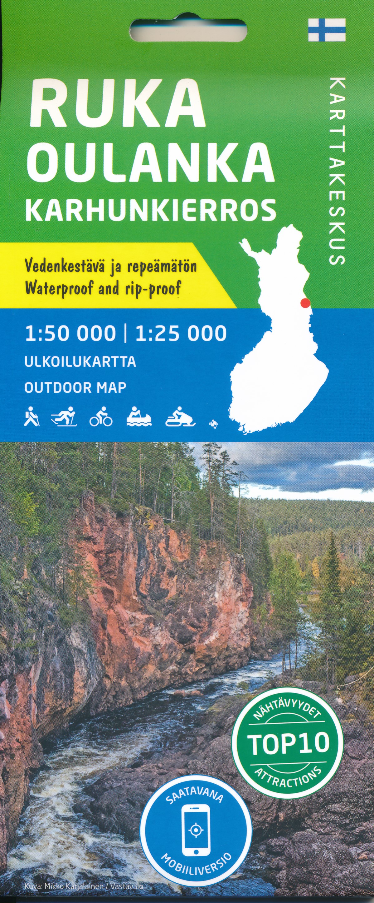
  • Ruka - Oulanka Karhunkierros National Park
  • Ruka - Oulanka National Park region just south of the Arctic Circle on Finland`s eastern border at 1:50,000 on a double-sided, GPS compatible map from Karttakeskus, the country’s national survey organization, with enlargements for Ruikatunturi area and the Pieni Karhunkierros Bear Trail near Juuma. Contours are at 5m intervals, with colours... Read more
» Click to close
De Zwerver
Netherlands
» Click to open
Stanfords
United Kingdom
  • Abisko - Kebnekaise - Nikkaluokta Norstedts Outdoor 1
  • This map of Abisko Kebnekaise Nikkaluokta in 1:75,000 is part of a series of topographic maps from Norstedts Kartforlaget which includes 28 outdoor maps covering the mountain areas and popular recreation areas in southern Sweden. The maps in this series have a new look and are printed on a durable and water resistant paper. Cartography,... Read more
» Click to close
De Zwerver
Netherlands
2021
De Zwerver
Netherlands
2020
De Zwerver
Netherlands
2020
De Zwerver
Netherlands
De Zwerver
Netherlands
2016
» Click to open
Stanfords
United Kingdom
2016
  • Sareks National Park Lantmateriet BD10
  • Mountain areas of central and northern Sweden on waterproof and tear-resistant, GPS compatible topographic “Fjällkartan” maps at 1:100,000 and 1:50,000 from Lantmäteriet - the country’s national survey organization, with hiking and ski routes, campsites and youth hostels, etc. Relief is shown by contours at 20m intervals and enhanced by relief... Read more
» Click to close
De Zwerver
Netherlands
De Zwerver
Netherlands
De Zwerver
Netherlands
De Zwerver
Netherlands
2021
De Zwerver
Netherlands
» Click to open
Stanfords
United Kingdom
  • Jäkkvik - Ammarnäs Norstedts Outdoor 5
  • This map of Jakkvik Ammarnas in 1:75,000 is part of a series of topographic maps from Norstedts Kartforlaget which includes 28 outdoor maps covering the mountain areas and popular recreation areas in southern Sweden. The maps in this series have a new look and are printed on a durable and water resistant paper. Cartography, material and... Read more
» Click to close
De Zwerver
Netherlands
2022
De Zwerver
Netherlands
» Click to open
Stanfords
United Kingdom
  • Nikkaluokta - Sarek - Saltoluokta Norstedts Outdoor 2
  • This map of Nikkaluokta Sarek Saltoluokta in 1:75,000 is part of a series of topographic maps from Norstedts Kartforlaget which includes 28 outdoor maps covering the mountain areas and popular recreation areas in southern Sweden. The maps in this series have a new look and are printed on a durable and water resistant paper. Cartography,... Read more
» Click to close
De Zwerver
Netherlands
2020