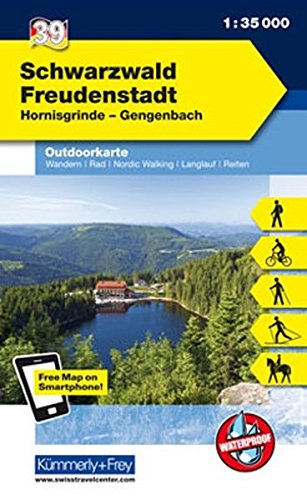
Black Forest: Freudenstadt area at 1:35,000 from Kümmerly+Frey in a series GPS compatible, double-sided maps printed on durable, waterproof and tear-resistant plastic paper; contoured, with hiking and cycle routes, other recreational activities, etc. Maps in this series are at a scale of either 1:50,000 or 1:35,000. Contour interval varies from...Read more
Pirin Mountains at 1:50,000 on a large, double-sided, contoured map with GPS waypoints for shelters and chalets, peaks, etc. and highlighting hiking routes. Topography is shown by contours at 40m intervals with additional relief shading and graphics and colouring for sandstone stacks, single rocks over 5m high, marshlands and different types of...Read more
St. Georgen - Triberg area of southern Black Forest on a detailed, GPS compatible map at 1:25,000 from Kompass with local and long-distance footpaths, cycling routes, accommodation, etc, printed on durable, waterproof and tear-resistant synthetic paper.KOMPASS HIKING & RECREATIONAL MAPS: this title is part of an extensive series covering...Read more
Deutschland 03 Baden-Württemberg 1 : 200 000 ab 10.9 EURO Touristische Informationen, Ortsverzeichnis, Entfernungen in km. GPS tauglich Freytag & Berndt Autokarte Deutschland Freytag & Berndt Freizeitkarte. NeuauflageRead more
Western Rhodope Mountains at 1:100,000 on a contoured GPS compatible map from Domino extending from just west of the Pirin National Park to Asenovgrad in the north-east. The map is double-sided with a good overlap between the sides. Topography is shown by contours at 50m intervals with relief shading and spot heights, plus colouring for...Read more
Kinzigtal - Schramberg - Haslach - Wolfach - Schiltach - Hornberg area of central Black Forest on a detailed, GPS compatible map at 1:25,000 from Kompass with local and long-distance footpaths, cycling routes, accommodation, etc, printed on durable, waterproof and tear-resistant synthetic paper.KOMPASS HIKING & RECREATIONAL MAPS: this title is...Read more
Südlicher Schwarzwald 1 : 75 000. Rad- und Freizeitkarte ab 7.95 EURO Von Triberg im Norden bis Bad Säckingen im Süden. Von Breisach im Westen bis Tuttlingen im Osten Rad- und Freizeitkarte GeoMap Karte. 5. AuflageRead more
Stara Planina Central: Zlatitsa to Kalofer map at 1:50,000 from Bulgarian publishers Domino, contoured and GPS compatible, with hiking trails, accommodation options including a list of local mountain refuges, etc. The map is double-sided and covers the mountains from just west of Ribaritsa and Zlatitsa eastwards beyond Kalofer to the peak of...Read more