De Zwerver
Netherlands
Netherlands
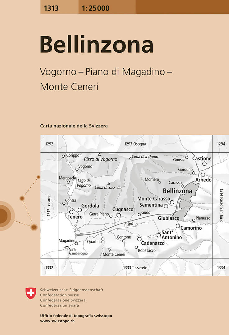
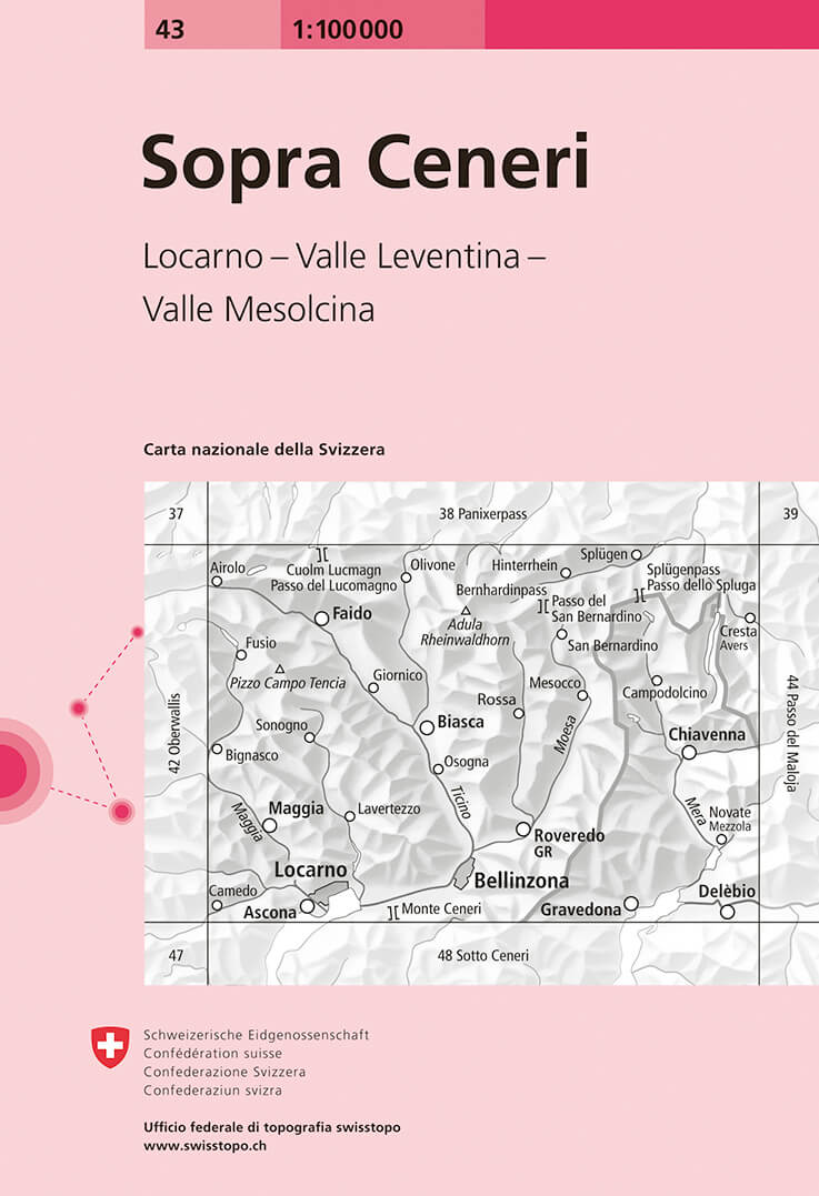
- Fietskaart - Topografische kaart - Wegenkaart - landkaart 43 Sopra Ceneri | Swisstopo
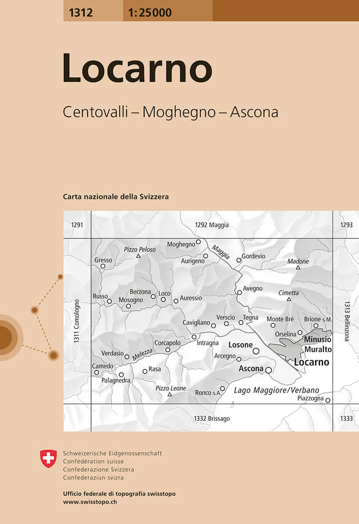
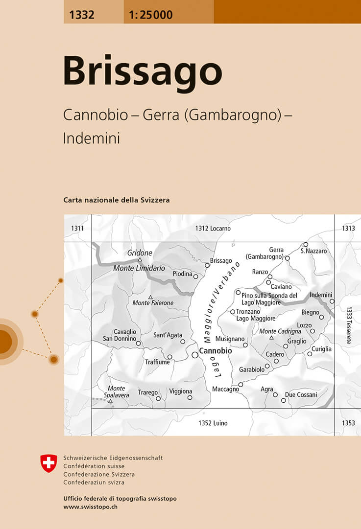
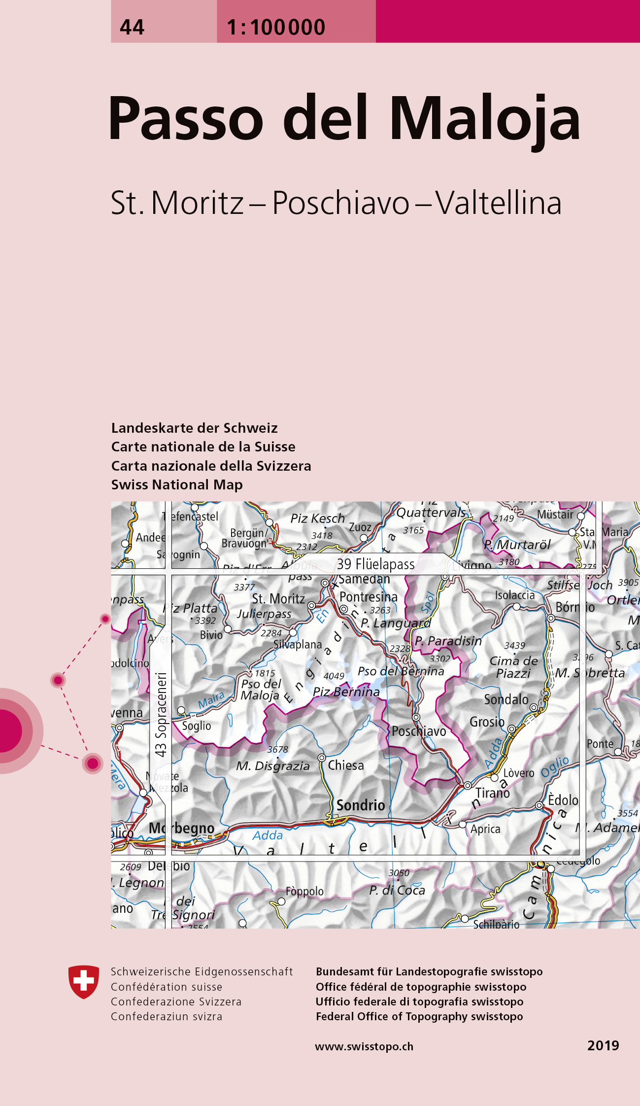
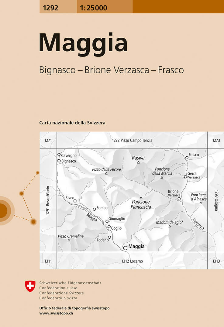
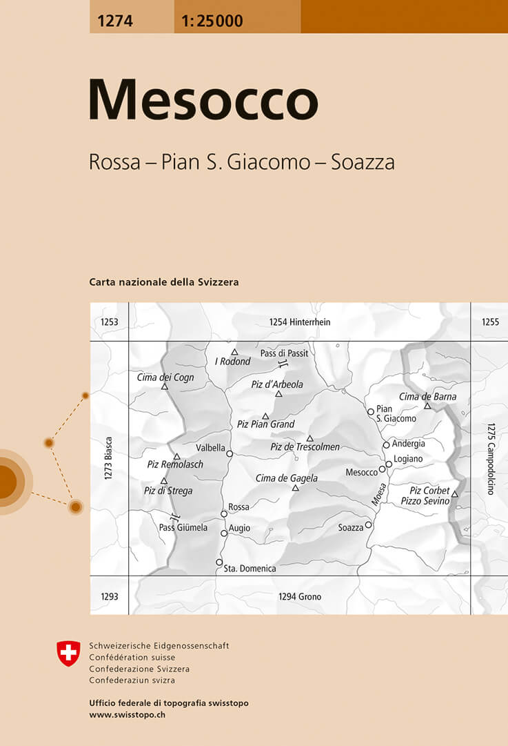
- Map No. 43, Sopra Ceneri, in the Swiss topographic survey at 1:100,000 published in 23 standard sheets (Nos. 26 - 48), with special larger maps centred on popular tourist destinations (Nos. 101 - 111). Swiss survey maps are highly regarded for their superb use of graphic relief and hill shading, presenting an almost 3-D picture of the country's... Read more
- Also available from:
- Stanfords, United Kingdom

Stanfords
United Kingdom
United Kingdom
- Sopra Ceneri Swisstopo 43
- Swiss topographic survey at 1:100,000 from Swisstopo, highly regarded for it superb use of graphic relief and hill shading, presenting an almost 3-D picture of the country`s mountainous terrain. Coverage is available either as small size standard sheets – Nos 26 to 48, each covering 70 x 48 km / 43 x 30 miles approx, or as larger size maps -... Read more