De Zwerver
Netherlands
Netherlands
- Wandelkaart Speyside Walk (Schotland) | Harvey Maps
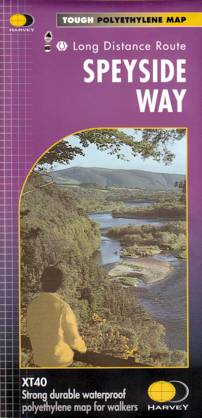
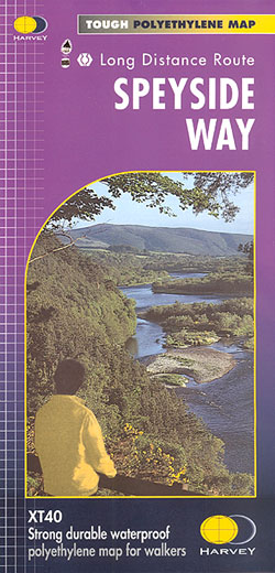
- Speyside Way, a 123km / 77 miles trail between Buckie on the Moray coast and Aviemore in the Cairngorms National Park or alternatively to Tomintoul, presented at 1:40,000 on a light, waterproof and tear-resistant map from Harvey Map Services. The whole route is covered on five overlapping panels, with small street plans of Buckie, Charlestown... Read more
- Also available from:
- Stanfords, United Kingdom
- The Book Depository, United Kingdom
Stanfords
United Kingdom
United Kingdom
- Speyside Way Harvey National Trail XT40
- Speyside Way, a 123km / 77 miles trail between Buckie on the Moray coast and Aviemore in the Cairngorms National Park or alternatively to Tomintoul, presented at 1:40,000 on a light, waterproof and tear-resistant map from Harvey Map Services. The whole route is covered on five overlapping panels, with small street plans of Buckie, Charlestown... Read more

The Book Depository
United Kingdom
United Kingdom
- Speyside Way
- Speyside Way, a 123km / 77 miles trail between Buckie on the Moray coast and Aviemore in the Cairngorms National Park or alternatively to Tomintoul, presented at 1:40,000 on a light, waterproof and tear-resistant map from Harvey Map Services. The whole route is covered on five overlapping panels, with small street plans of Buckie, Charlestown... Read more