De Zwerver
Netherlands
2019
» Click to open
Stanfords
United Kingdom
2019
  • Iceland Road Guide
  • Iceland Road Guide from Vegahandbókin, an exceptionally comprehensive, 605-page guide with region-by-region descriptions of sites accompanied by road maps and street plans, plus a separate road atlas section covering the whole country at 1:500,000 and information on a wide variety of tourism relating topics to help the user get the best of... Read more
» Click to close
De Zwerver
Netherlands
De Zwerver
Netherlands
De Zwerver
Netherlands
De Zwerver
Netherlands
De Zwerver
Netherlands
» Click to open
Bol.com
Netherlands
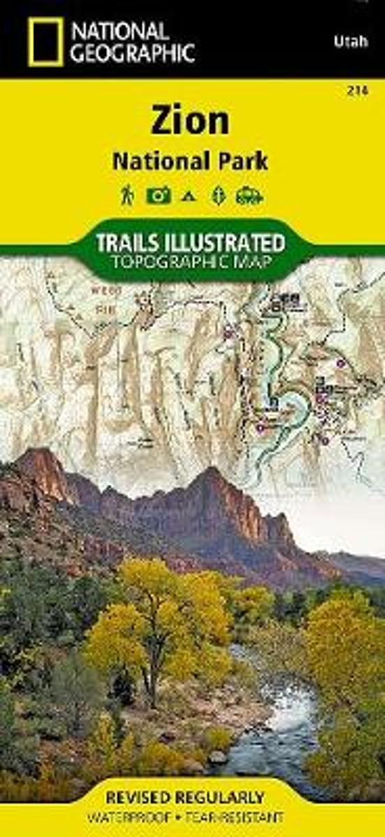
  • Zion National Park
  • • Waterproof • Tear-Resistant • Topographic MapExplore the beauty and geological wonder of Utah's first national park with National Geographic's Trails Illustrated map of Zion National Park. Created in partnership with local land management agencies, this expertly researched map combines unmatched detail with useful information to help you get... Read more
Bol.com
Belgium
  • Zion National Park
  • • Waterproof • Tear-Resistant • Topographic MapExplore the beauty and geological wonder of Utah's first national park with National Geographic's Trails Illustrated map of Zion National Park. Created in partnership with local land management agencies, this expertly researched map combines unmatched detail with useful information to help you get... Read more
Stanfords
United Kingdom
  • Zion National Park UT NGS Trails Illustrated Map 214
  • Map No. 214, Zion National Park, UT, in an extensive series of GPS compatible, contoured hiking maps of USA’s national and state parks or forests and other popular recreational areas. Cartography based on the national topographic survey, with additional tourist information.The maps, with most titles now printed on light, waterproof and... Read more
The Book Depository
United Kingdom
» Click to close
De Zwerver
Netherlands
» Click to open
Bol.com
Netherlands
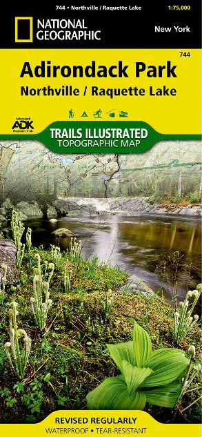
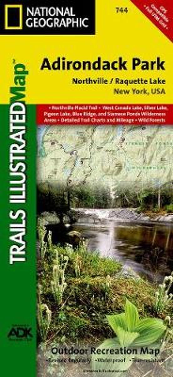
  • Northville/raquette Lake, Adirondack Park
  • • Waterproof • Tear-Resistant • Topographic MapNational Geographic's Trails Illustrated map of Adirondack Park Northville/Raquette Lake is a two-sided, waterproof, topographic trail map designed to meet the needs of outdoor enthusiasts with unmatched durability and detail. This map was created in cooperation with the Adirondack Mountain Club... Read more
Bol.com
Belgium
  • Northville/raquette Lake, Adirondack Park
  • • Waterproof • Tear-Resistant • Topographic MapNational Geographic's Trails Illustrated map of Adirondack Park Northville/Raquette Lake is a two-sided, waterproof, topographic trail map designed to meet the needs of outdoor enthusiasts with unmatched durability and detail. This map was created in cooperation with the Adirondack Mountain Club... Read more
Stanfords
United Kingdom
  • Adirondack Park - Northville - Raquette Lake NY
  • Map No. 744, Adirondack Park: Northville - Raquette Lake, NY, in an extensive series of GPS compatible, contoured hiking maps of USA’s national and state parks or forests and other popular recreational areas. Cartography based on the national topographic survey, with additional tourist information.The maps, with most titles now printed on... Read more
» Click to close
Bol.com
Netherlands
» Click to open
Bol.com
Belgium
  • Tenerife Hikers Maps
  • Our latest hiking research on Tenerife has resulted in new editions of Walk! Tenerife and Tenerife Hikers' Super-Durable Maps being published in 2017. Thanks to Jan Kostura's 2016 research we have several new hiking adventures described in detail in Walk! Tenerife. Jan's gps records of his research for new routes and updating of current routes... Read more
» Click to close
Bol.com
Netherlands
» Click to open
Bol.com
Belgium
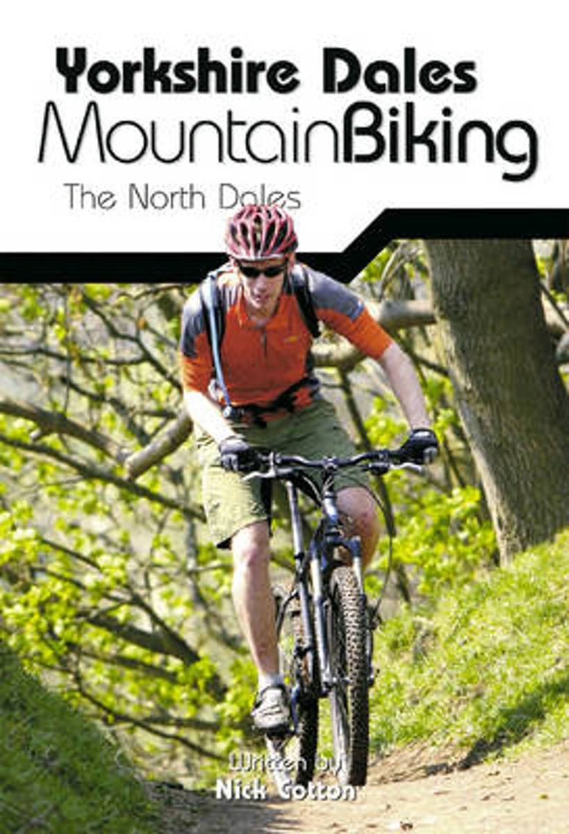
  • Yorkshire Dales Mountain Biking
  • This is a mountain biking guidebook to the Yorkshire Dales. Yorkshire Dales Mountain Biking - The North Dales is a user-friendly guide to the best riding in one of the country's most MTB-friendly national parks. The Yorkshire Dales have the lot: short riverside cruises on good trails, epic rides taking in big views, moorland singletrack and... Read more
Stanfords
United Kingdom
  • Yorkshire Dales Mountain Biking - the North Dales
  • Vertebrate’s guide to mountain biking in the northern Yorkshire Dales covers 24 recommended mountain bike trails, routes and rides ranging from 8km to 53km. The routes themselves have been devised and tested by local riders to help you get the very best out of the North Dales trails.Each route is described with easy-to-follow instructions,... Read more
» Click to close
Bol.com
Netherlands
» Click to open
Bol.com
Belgium
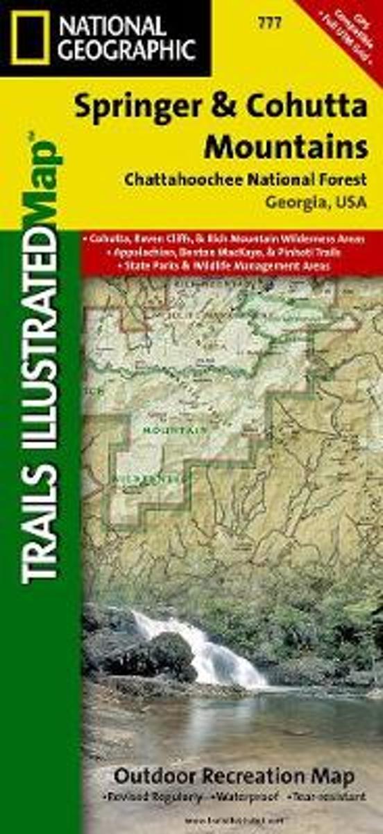
  • Springer & Cohutta Mountains, Chattahoochee National Forest
  • Waterproof Tear-Resistant Topographic MapLocated just north of Atlanta, the Chattahoochee National Forest contains the southern terminus of the Appalachian Trail along with an abundance of recreational opportunities for outdoor enthusiasts of all interests.This detailed recreation map contains carefully researched trails, campsites,... Read more
Stanfords
United Kingdom
  • Chattahoochee National Forest - Springer and Cohutta Mountains GA/SC 777
  • Map No. 777, Chattahoochee National Forest: Springer and Cohutta Mountains, GA/SC, in an extensive series of GPS compatible, contoured hiking maps of USA’s national and state parks or forests and other popular recreational areas. Cartography based on the national topographic survey, with additional tourist information.The maps, with most titles... Read more
» Click to close
De Zwerver
Netherlands
» Click to open
Bol.com
Netherlands
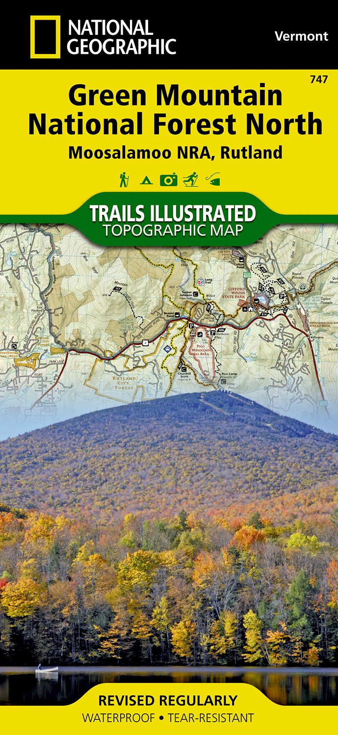
  • Green Mountains N.F., Moosalamoo NRA/Rutland
  • Waterproof Tear-Resistant Topographic MapNational Geographic's Green Mountain National Forest North Trails Illustrated topographic map is the most comprehensive available for outdoor enthusiasts of all types. Designed to be easy-to-read, yet highly detailed this map includes a comprehensive road and trail network distinguishing between... Read more
Bol.com
Belgium
  • Green Mountains N.F., Moosalamoo NRA/Rutland
  • Waterproof Tear-Resistant Topographic MapNational Geographic's Green Mountain National Forest North Trails Illustrated topographic map is the most comprehensive available for outdoor enthusiasts of all types. Designed to be easy-to-read, yet highly detailed this map includes a comprehensive road and trail network distinguishing between... Read more
Stanfords
United Kingdom
  • Green Mountain National Forest - Moosalamoo NRA - Rutland VT
  • Map No. 747, Green Mountain National Forest: Moosalamoo NRA - Rutland area in Vermont, in an extensive series of GPS compatible, contoured hiking maps of USA’s national and state parks or forests and other popular recreational areas. Cartography based on the national topographic survey, with additional tourist information.The maps, with most... Read more
The Book Depository
United Kingdom
» Click to close
Bol.com
Netherlands
» Click to open
Bol.com
Belgium
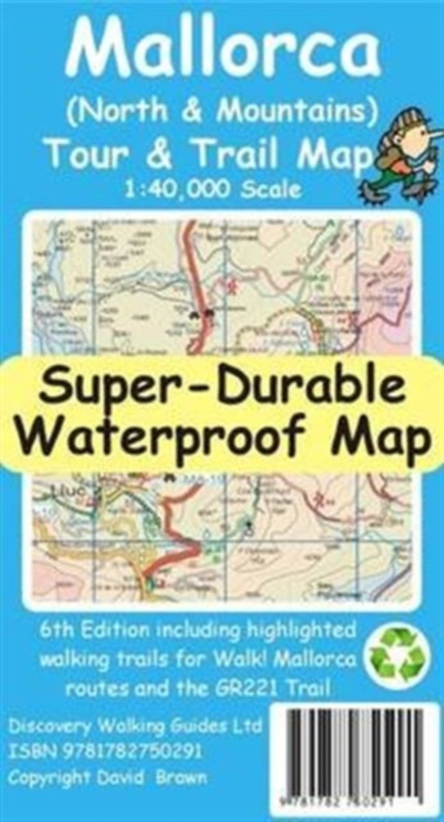
  • Mallorca North & Mountains Tour & Trail Super-Durable Map
  • Fully detailed Mallorca adventures with our new Mallorca North & Mountains Tour & Trail Super-Durable Map 6th edition by David Brawn and Walk! Mallorca guide book by Charles Davis. Our new 6th edition gives you a super detailed, up to date, map of the Tramuntana region stretching from Peguera-Costa Calma- Santa Ponca in the west then running... Read more
» Click to close
De Zwerver
Netherlands
» Click to open
Bol.com
Netherlands
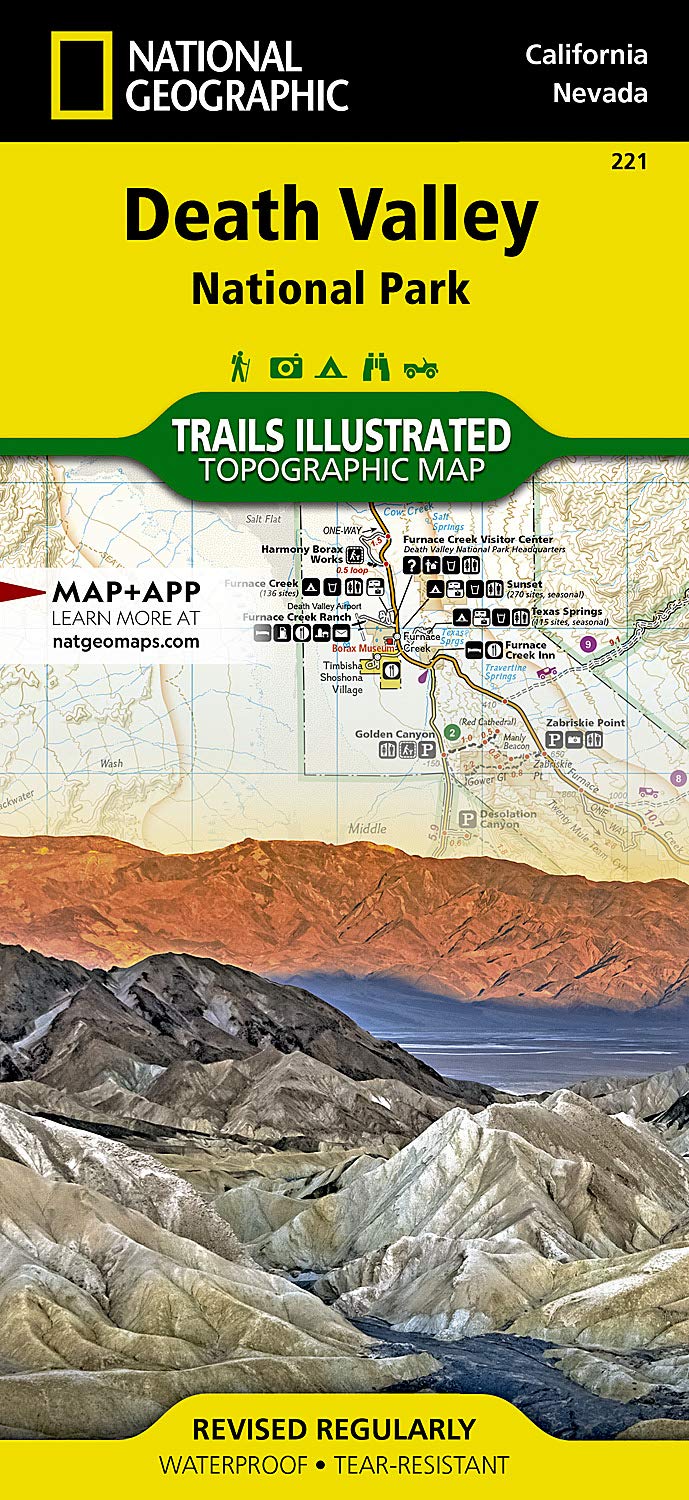
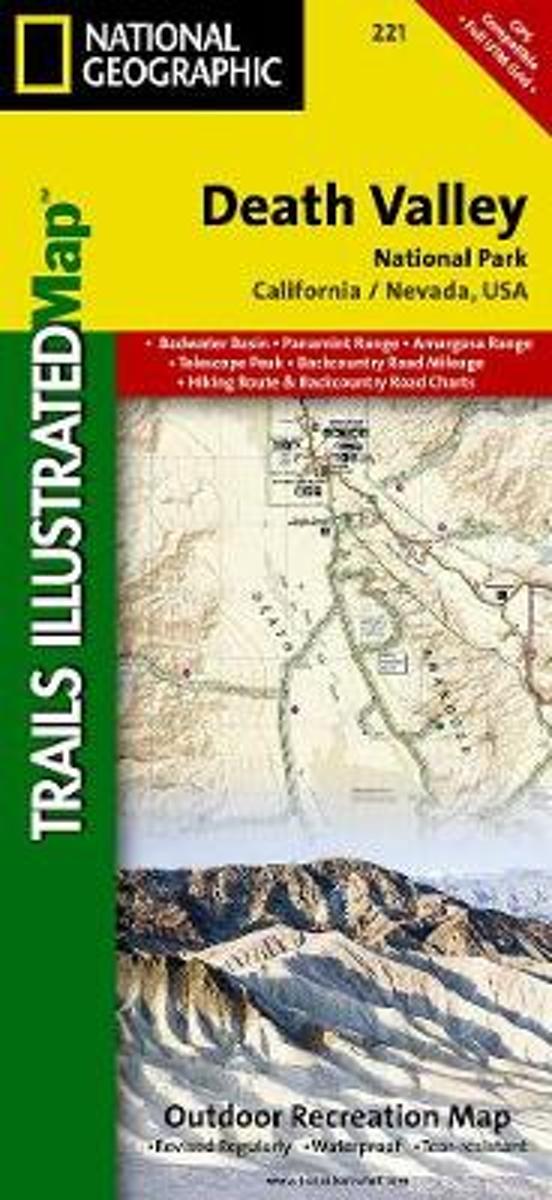
  • Death Valley National Park
  • Waterproof Tear-Resistant Topographic MapDespite its foreboding name and the fact that it is the hottest, lowest, and driest area in North America, Death Valley National Park maintains a great diversity of life in its dramatic terrain of salt-flats, canyons, mountains, valleys, sand dunes, and badlands. National Geographic's Trails... Read more
Bol.com
Belgium
  • Death Valley National Park
  • Waterproof Tear-Resistant Topographic MapDespite its foreboding name and the fact that it is the hottest, lowest, and driest area in North America, Death Valley National Park maintains a great diversity of life in its dramatic terrain of salt-flats, canyons, mountains, valleys, sand dunes, and badlands. National Geographic's Trails... Read more
Stanfords
United Kingdom
  • Death Valley National Park CA/NV NGS Trails Illustrated Map 221
  • Map No. 221, Death Valley National Park, CA/NV, in an extensive series of GPS compatible, contoured hiking maps of USA’s national and state parks or forests and other popular recreational areas. Cartography based on the national topographic survey, with additional tourist information.The maps, with most titles now printed on light, waterproof... Read more
The Book Depository
United Kingdom
» Click to close
De Zwerver
Netherlands
2014
» Click to open
Bol.com
Netherlands
2014
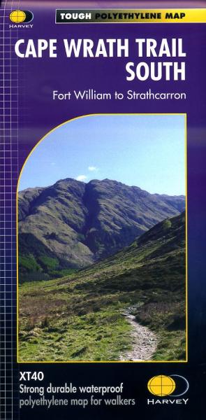
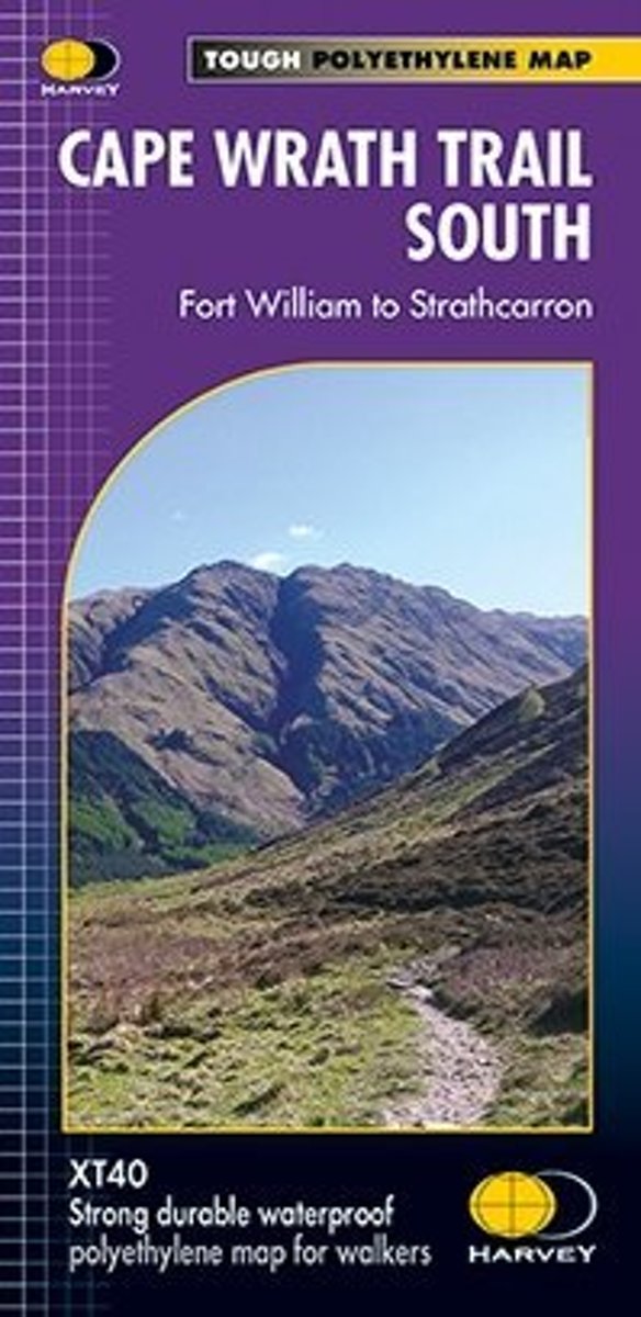
  • Cape Wrath Trail South XT40
  • Cape Wrath Trail is a challenging route from Fort William to Cape Wrath. It is around 200 miles long and passes through some of Scotland's wildest and most spectacular scenery. The trail has evolved from use and is not an officially recognised National Trail. There is no single definitive route. There are various ways of tackling the traverse... Read more
Bol.com
Belgium
2014
  • Cape Wrath Trail South XT40
  • Cape Wrath Trail is a challenging route from Fort William to Cape Wrath. It is around 200 miles long and passes through some of Scotland's wildest and most spectacular scenery. The trail has evolved from use and is not an officially recognised National Trail. There is no single definitive route. There are various ways of tackling the traverse... Read more
Stanfords
United Kingdom
2014
The Book Depository
United Kingdom
2014
» Click to close
Bol.com
Netherlands
» Click to open
Bol.com
Belgium
  • Wales Mountain Biking
  • Wales Mountain Biking is the 12th title in Vertebrate Publishing's bestselling series of UK mountain biking guidebooks. This book showcases 20 routes in Wales, between 12km and 50km in length, suitable for all levels of mountain bikers. Split into three sections, South Wales, Mid Wales and North Wales, this book includes classic loops in the... Read more
Stanfords
United Kingdom
  • Wales Mountain Biking
  • Vertebrate’s guide to mountain biking in Wales covers 20 recommended mountain bike trails, routes and rides ranging from 12km to 50km. The routes themselves have been devised and tested by local riders to help you get the very best out of the Welsh trails.Each route is described with easy-to-follow instructions, information on difficulty,... Read more
» Click to close