De Zwerver
Netherlands
- Wandelkaart - Topografische kaart 3304T Gstaad - Lenk - Adelboden | Swisstopo
- Een nieuwe serie van de Zwitserse topografische dienst: eindelijk goede wandelkaarten met ingetekende wandelroutes op scheur- en watervast papier. Vooralsnog zijn ze uitgebracht van de populaire wandelgebieden en niet landelijk dekkend (zie overzicht) Op een gedetailleerde schaal van 1:33.333 met als ondergrond de onovertroffen topografische... Read more

Stanfords
United Kingdom
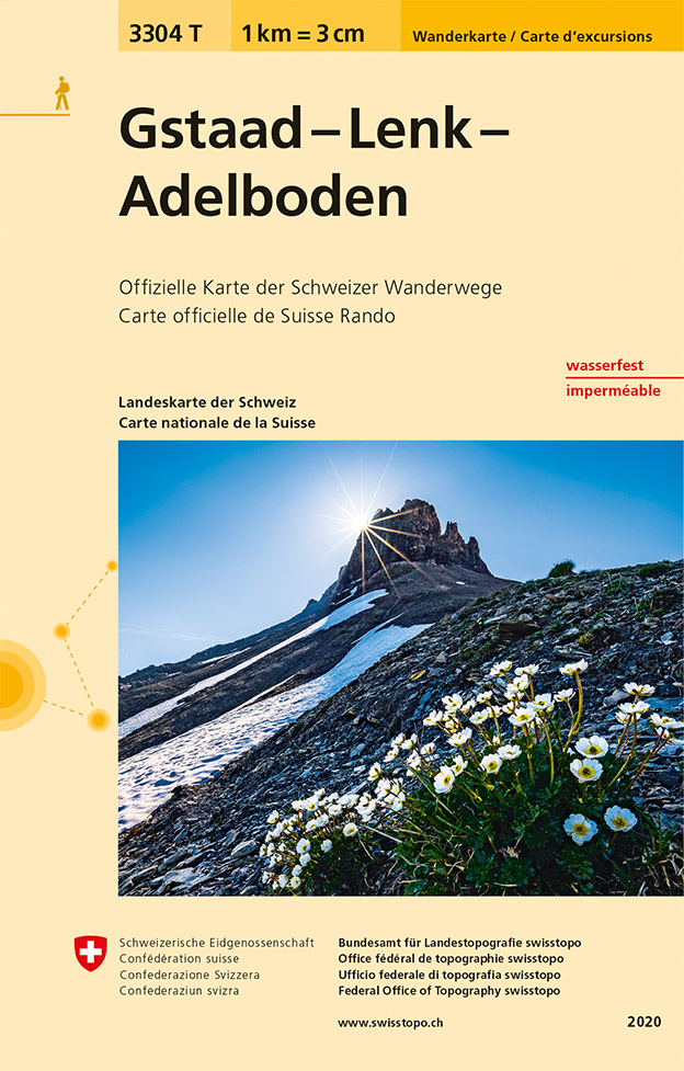
- Gstaad - Lenk - Adelboden Swisstopo Hiking 3304T
- Gstaad - Lenk - Adelboden area of the western Bernese Oberland at 1:33,333 on light, waterproof and tear-resistant map No. 3304T published by Swisstopo in cooperation with the Swiss Hiking Federation. Cartography is the same as in Swisstopo’s 50K hiking maps, simply enlarged to 1:33,333 for extra clarity but without additional information.... Read more
De Zwerver
Netherlands

Stanfords
United Kingdom
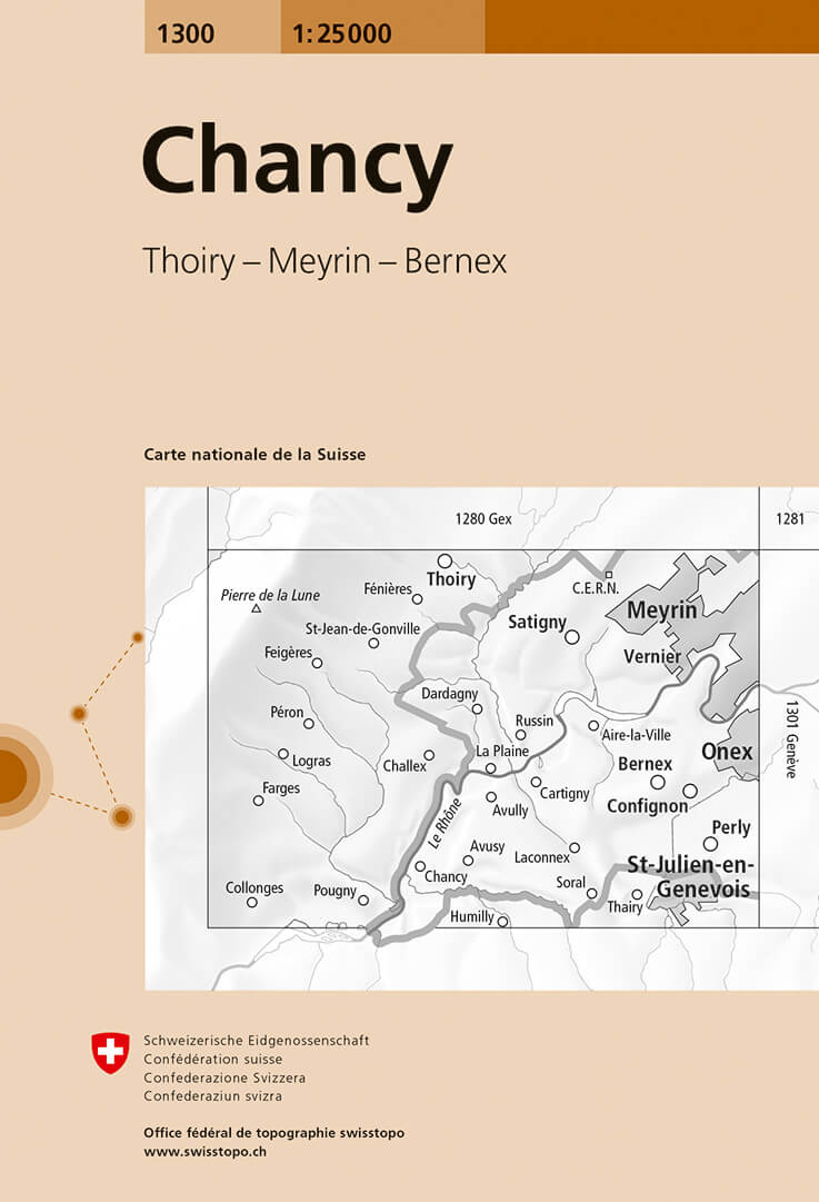
- Chancy Swisstopo 1300
- Map No. 1300, Chancy, in the topographic survey of Switzerland at 1:25,000 from Bundesamt für Landestopographie (swisstopo), covering the whole country on 247 small format sheets, with special larger maps published for popular regions including some titles now available in hiking versions.Highly regarded for their superb use of graphic relief... Read more
De Zwerver
Netherlands

Stanfords
United Kingdom
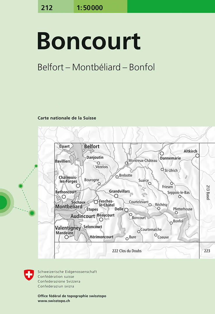
- Boncourt Swisstopo 212
- Boncourt, map No. 212, in the standard topographic survey of Switzerland at 1:50,000 from Swisstopo, i.e. without the special overprint highlighting walking trails, local bus stops, etc, presented in Swisstopo’s hiking editions of the 50K survey. The map covers mainly the French side of the border east of Montbéliard and Belfort.Highly regarded... Read more
De Zwerver
Netherlands

Stanfords
United Kingdom
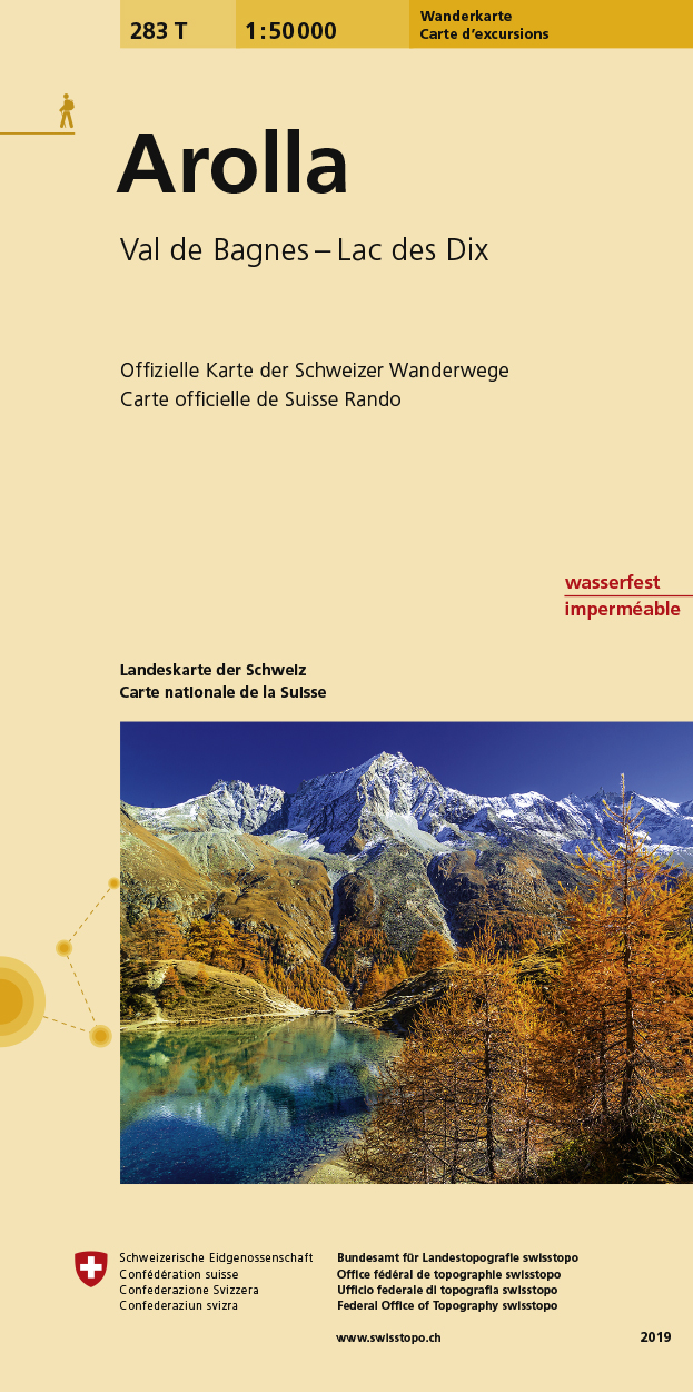
- Arolla Swisstopo Hiking 283T
- Arolla area, map No. 283T, at 1:50,000 in a special hiking edition of the country’s topographic survey, published by Swisstopo in cooperation with the Swiss Hiking Federation. The map covers the peaks from the Matterhorn to Grand Combin, and the southern part of Val d’Herens with Evolène and La Forclaz.Cartography, identical to the standard... Read more
De Zwerver
Netherlands
Stanfords
United Kingdom
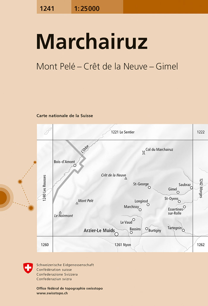
- Marchairuz Swisstopo 1241
- Map No. 1241, Marchairuz, in the topographic survey of Switzerland at 1:25,000 from Bundesamt für Landestopographie (swisstopo), covering the whole country on 247 small format sheets, with special larger maps published for popular regions including some titles now available in hiking versions.Highly regarded for their superb use of graphic... Read more
De Zwerver
Netherlands
Stanfords
United Kingdom
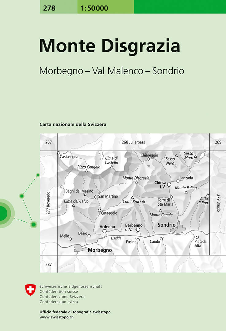
- Monte Disgrazia Swisstopo 278
- Monte Disgrazia, map No. 278, in the standard topographic survey of Switzerland at 1:50,000 from Swisstopo, i.e. without the special overprint highlighting walking trails, local bus stops, etc, presented in Swisstopo’s hiking editions of the 50K survey. The map covers mainly the Italian side of the border, including Sondrio and Chiesa.Highly... Read more
De Zwerver
Netherlands
Stanfords
United Kingdom
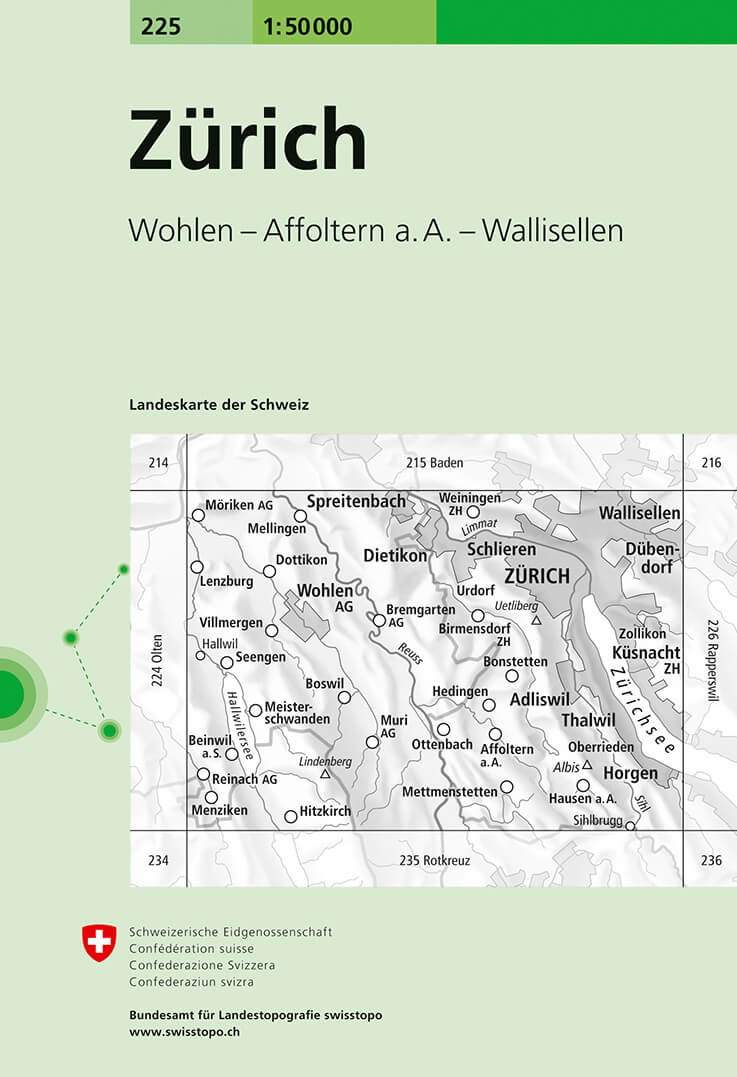
- Zurich Swisstopo 225
- Zurich, map No. 225, in the standard topographic survey of Switzerland at 1:50,000 from Swisstopo, i.e. without the special overprint highlighting walking trails, local bus stops, etc, presented in Swisstopo’s hiking editions of the 50K survey. Highly regarded for their superb use of graphic relief and hill shading, the maps give an almost 3-D... Read more
De Zwerver
Netherlands
- Wandelkaart - Topografische kaart 1064 Montbéliard | Swisstopo
- Zeer gedetailleerde wandelkaart van een deel van Zwitserland. De topografische details van deze kaarten zijn onovertroffen; de werkelijkheid is perfect weergegeven op deze kaart van uitzonderlijk hoog niveau. Ze zijn geschikt voor alle soorten gebruik: voor eenvoudige wandeltochten in simpel terrein tot zware bergtochten en beklimmingen van de... Read more

Stanfords
United Kingdom
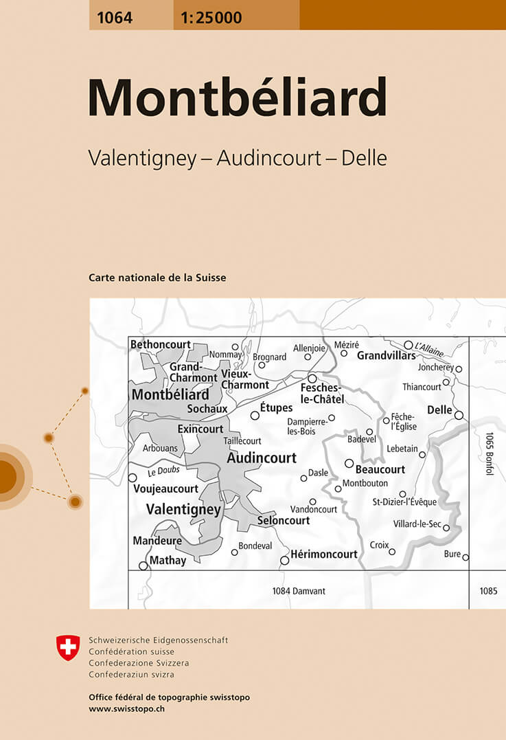
- Montbéliard Swisstopo 1064
- Map No. 1064, Montbéliard, in the topographic survey of Switzerland at 1:25,000 from Bundesamt für Landestopographie (swisstopo), covering the whole country on 247 small format sheets, with special larger maps published for popular regions including some titles now available in hiking versions.Highly regarded for their superb use of graphic... Read more
De Zwerver
Netherlands

Stanfords
United Kingdom
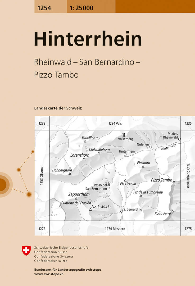
- Hinterrhein Swisstopo 1254
- Map No. 1254, Hinterrhein, in the topographic survey of Switzerland at 1:25,000 from Bundesamt für Landestopographie (swisstopo), covering the whole country on 247 small format sheets, with special larger maps published for popular regions including some titles now available in hiking versions.Highly regarded for their superb use of graphic... Read more
De Zwerver
Netherlands

Stanfords
United Kingdom
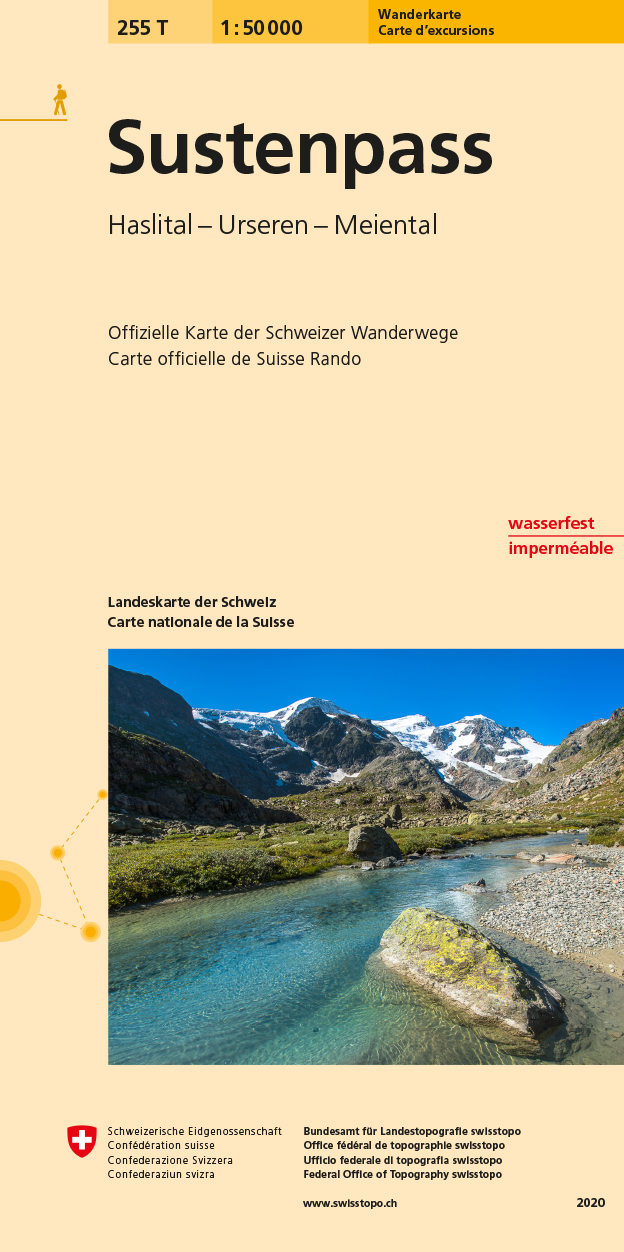
- Sustenpass Swisstopo Hiking 255T
- Sustenpass area, map No. 255T, at 1:50,000 in a special hiking edition of the country’s topographic survey, published by Swisstopo in cooperation with the Swiss Hiking Federation. Cartography, identical to the standard version of the survey, is highly regarded for its superb use of graphic relief and hill shading to provide an almost 3-D... Read more
De Zwerver
Netherlands

Stanfords
United Kingdom
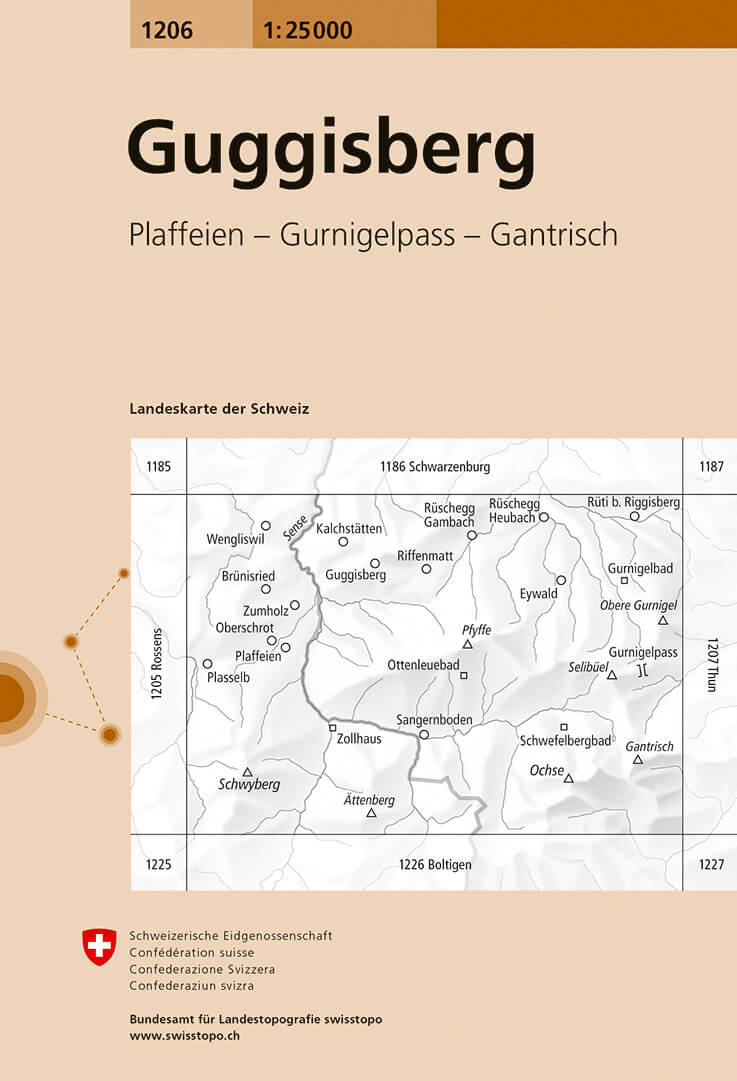
- Guggisberg Swisstopo 1206
- Map No. 1206, Guggisberg, in the topographic survey of Switzerland at 1:25,000 from Bundesamt für Landestopographie (swisstopo), covering the whole country on 247 small format sheets, with special larger maps published for popular regions including some titles now available in hiking versions.Highly regarded for their superb use of graphic... Read more
De Zwerver
Netherlands

Stanfords
United Kingdom
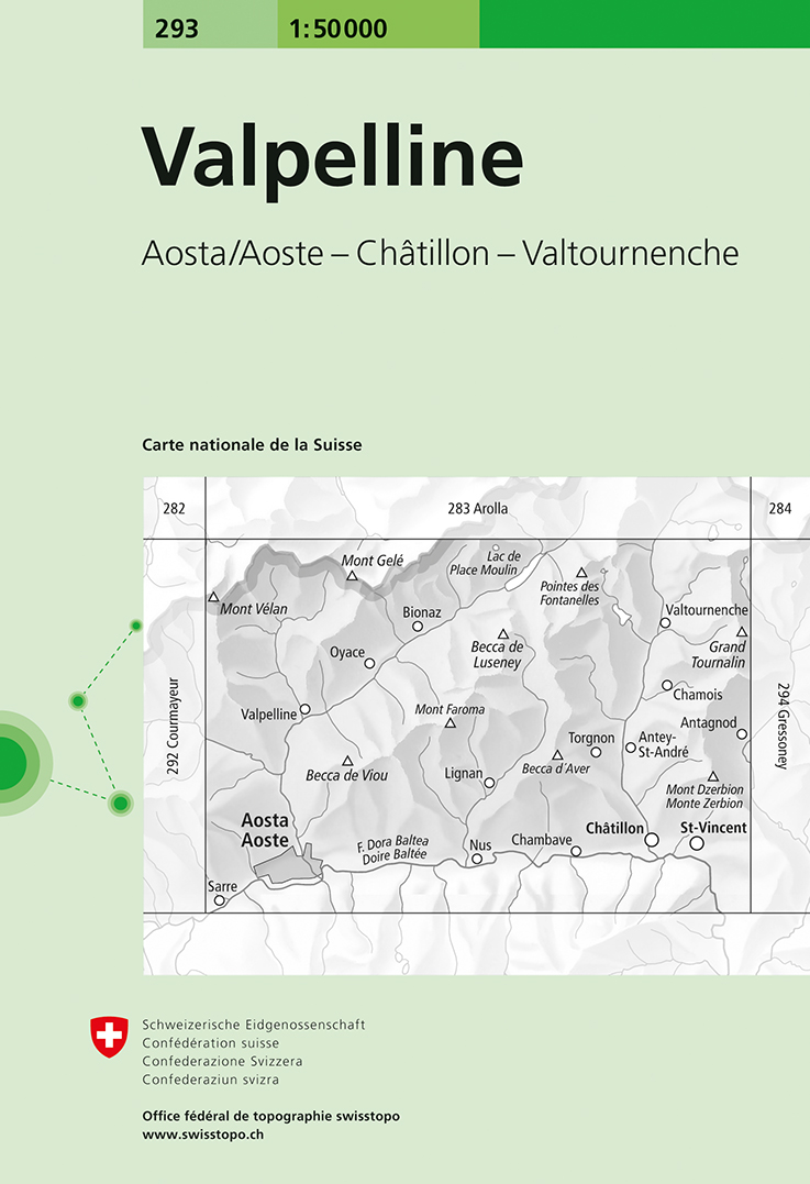
- Valpelline Swisstopo 293
- Valpelline, map No. 293, in the standard topographic survey of Switzerland at 1:50,000 from Swisstopo, i.e. without the special overprint highlighting walking trails, local bus stops, etc, presented in Swisstopo’s hiking editions of the 50K survey. The map covers mainly the Italian side of the border, with only a small part of Switzerland shown... Read more
De Zwerver
Netherlands
Stanfords
United Kingdom
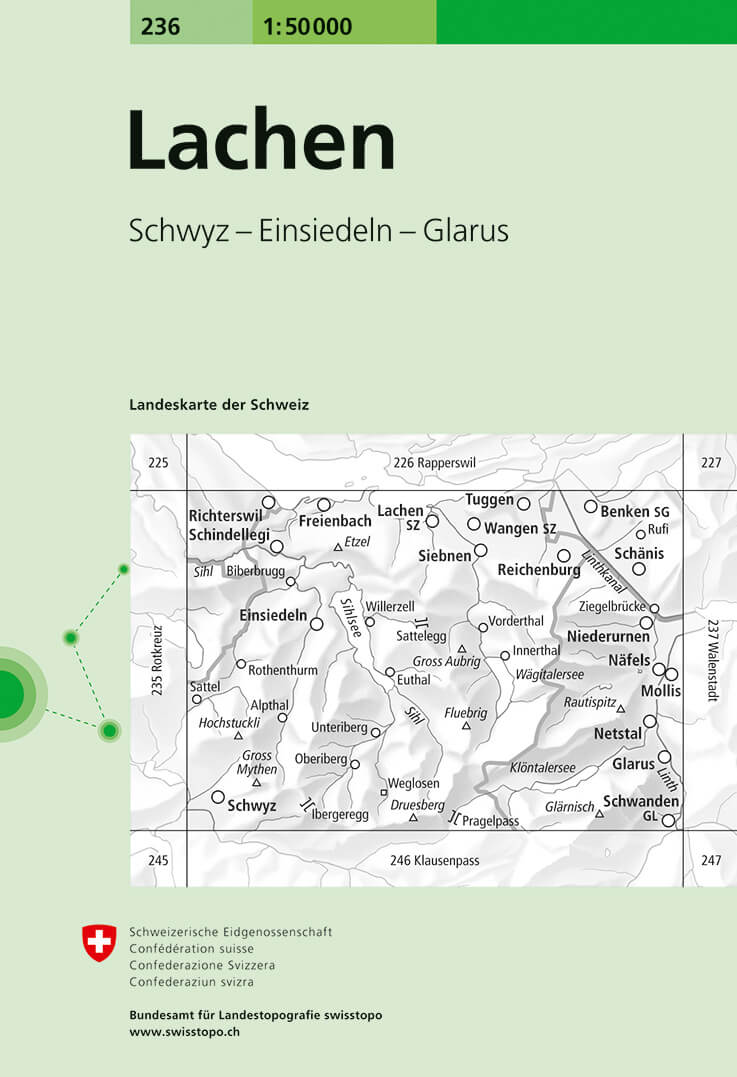
- Lachen Swisstopo 236
- Lachen, map No. 236, in the standard topographic survey of Switzerland at 1:50,000 from Swisstopo, i.e. without the special overprint highlighting walking trails, local bus stops, etc, presented in Swisstopo’s hiking editions of the 50K survey. Coverage includes the south-western part of Liechtenstein.Highly regarded for their superb use of... Read more
De Zwerver
Netherlands
- Wandelkaart - Topografische kaart 1187 Münsingen | Swisstopo
- Zeer gedetailleerde wandelkaart van een deel van Zwitserland. De topografische details van deze kaarten zijn onovertroffen; de werkelijkheid is perfect weergegeven op deze kaart van uitzonderlijk hoog niveau. Ze zijn geschikt voor alle soorten gebruik: voor eenvoudige wandeltochten in simpel terrein tot zware bergtochten en beklimmingen van de... Read more
Stanfords
United Kingdom
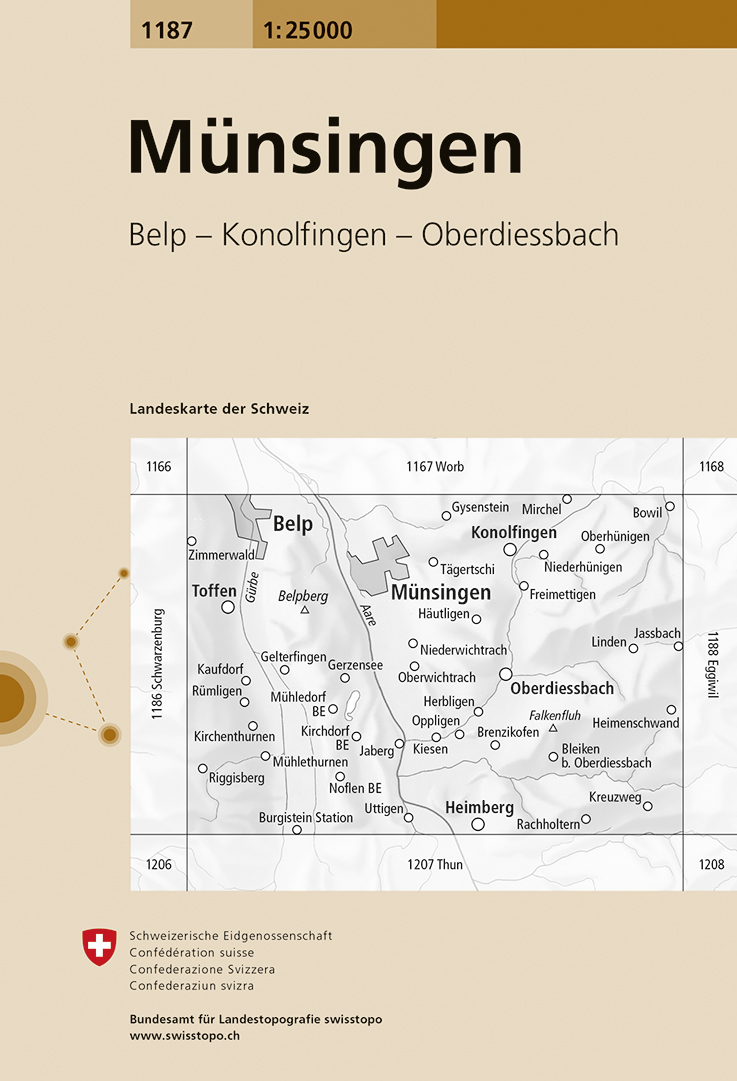
- Münsingen Swisstopo 1187
- Map No. 1187, Münsingen, in the topographic survey of Switzerland at 1:25,000 from Bundesamt für Landestopographie (swisstopo), covering the whole country on 247 small format sheets, with special larger maps published for popular regions including some titles now available in hiking versions.Highly regarded for their superb use of graphic... Read more
De Zwerver
Netherlands

Stanfords
United Kingdom
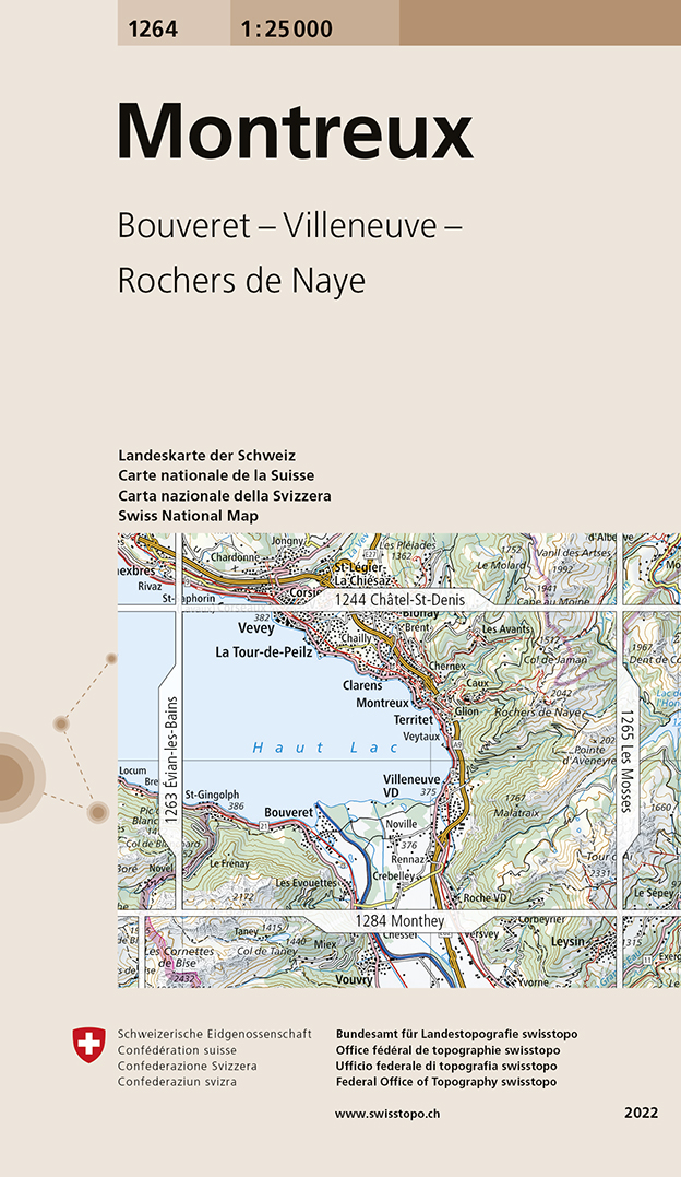
- Montreux Swisstopo 1264
- Map No. 1264, Montreux, in the topographic survey of Switzerland at 1:25,000 from Bundesamt für Landestopographie (swisstopo), covering the whole country on 247 small format sheets, with special larger maps published for popular regions including some titles now available in hiking versions.Highly regarded for their superb use of graphic relief... Read more