De Zwerver
Netherlands
» Click to open
Stanfords
United Kingdom
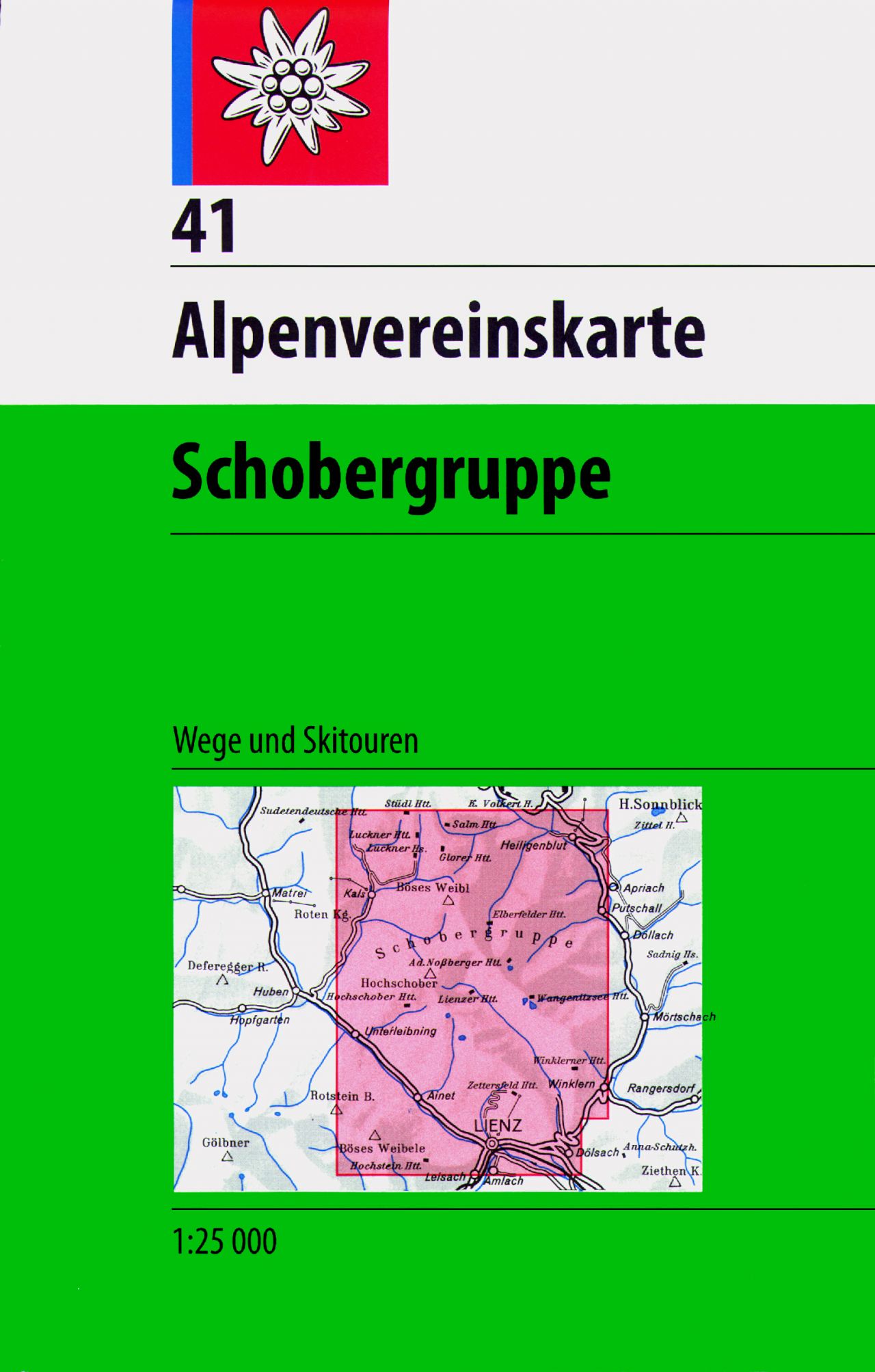
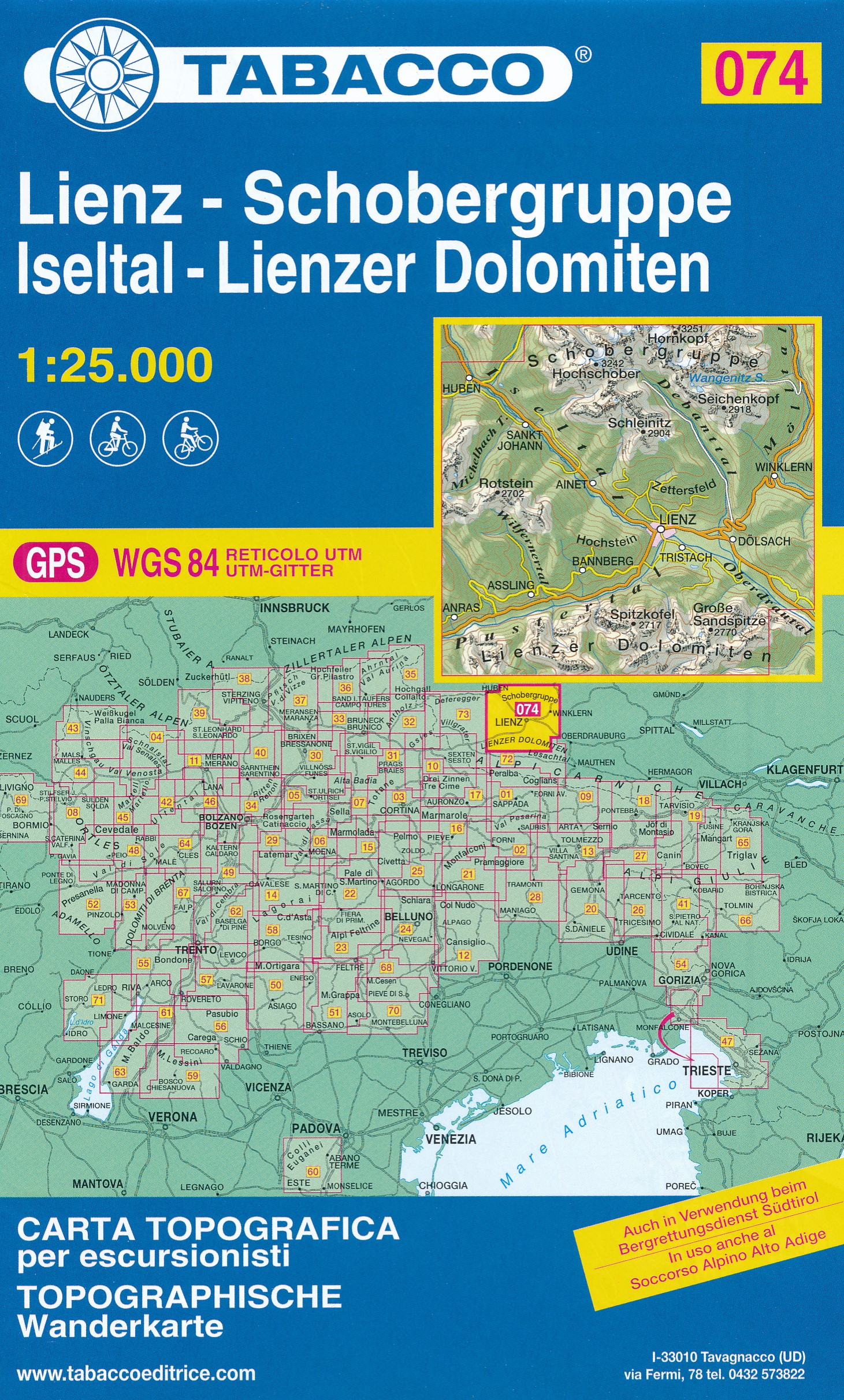
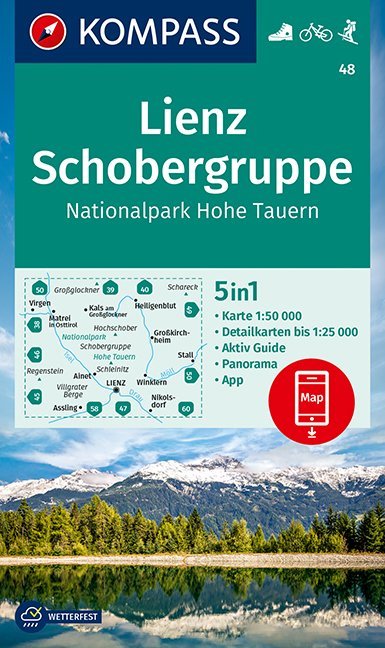
  • Lienz - Schobergruppe - Hohe Tauern NP Kompass 48
  • Lienz - Schobbergruppe - Hohe Tauern NP area of the Austrian Alps on a detailed, GPS compatible map at 1:50,000 from Kompass with local and long-distance footpaths, cycling routes, accommodation, etc, printed on durable, waterproof and tear-resistant synthetic paper. KOMPASS HIKING & RECREATIONAL MAPS: this title is part of an extensive series... Read more
» Click to close
De Zwerver
Netherlands
» Click to open
Stanfords
United Kingdom
  • Schobergruppe Alpenverein KOMBI Map 41
  • Schobergruppe area of the Alps in a combined hiking and ski edition at 1:25,000 from a series of detailed, GPS compatible maps published by the DAV - Deutscher Alpenverein and produced by the German and Austrian Alpine Clubs using cartography from their respective survey organizations. Maps in this series have topography vividly presented by... Read more
» Click to close
Bol.com
Netherlands
» Click to open
Bol.com
Belgium
  • FB WK364 Bregenzerwald
  • Aufgrund der übersichtlichen und detailgetreuen, digitalen Kartographie sowie der ideal gewählten Maßstäbe sind freytag & berndt Wanderkarten der perfekte Begleiter beim Wandern und Bergsteigen. Sie werden regelmäßig überarbeitet und enthalten aktualisierte Informationen zu Wanderwegen, Rad- und Mountainbikestrecken, Hütten, Naturdenkmälern,... Read more
Stanfords
United Kingdom
  • Bregenz Forest F&B WK364
  • Bregenz - Bregenzerwald area of the Austrian Alps presented at 1:50,000 in a series of contoured and GPS compatible outdoor leisure map from Freytag & Berndt with hiking and cycling routes, mountain huts, campsites and youth hostels, local bus stops, plus other tourist information. To see the list of currently available titles in this series... Read more
The Book Depository
United Kingdom
  • Bregenz Forest Hiking + Leisure Map 1:50 000
  • Bregenz - Bregenzerwald area of the Austrian Alps presented at 1:50,000 in a series of contoured and GPS compatible outdoor leisure map from Freytag & Berndt with hiking and cycling routes, mountain huts, campsites and youth hostels, local bus stops, plus other tourist information. To see the list of currently available titles in this series... Read more
» Click to close
De Zwerver
Netherlands
2019
» Click to open
» Click to close