Bol.com
Netherlands
» Click to open
Bol.com
Belgium
Stanfords
United Kingdom
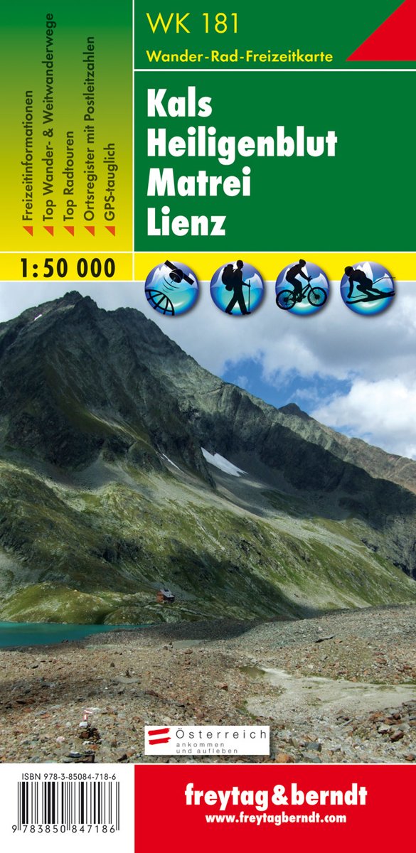
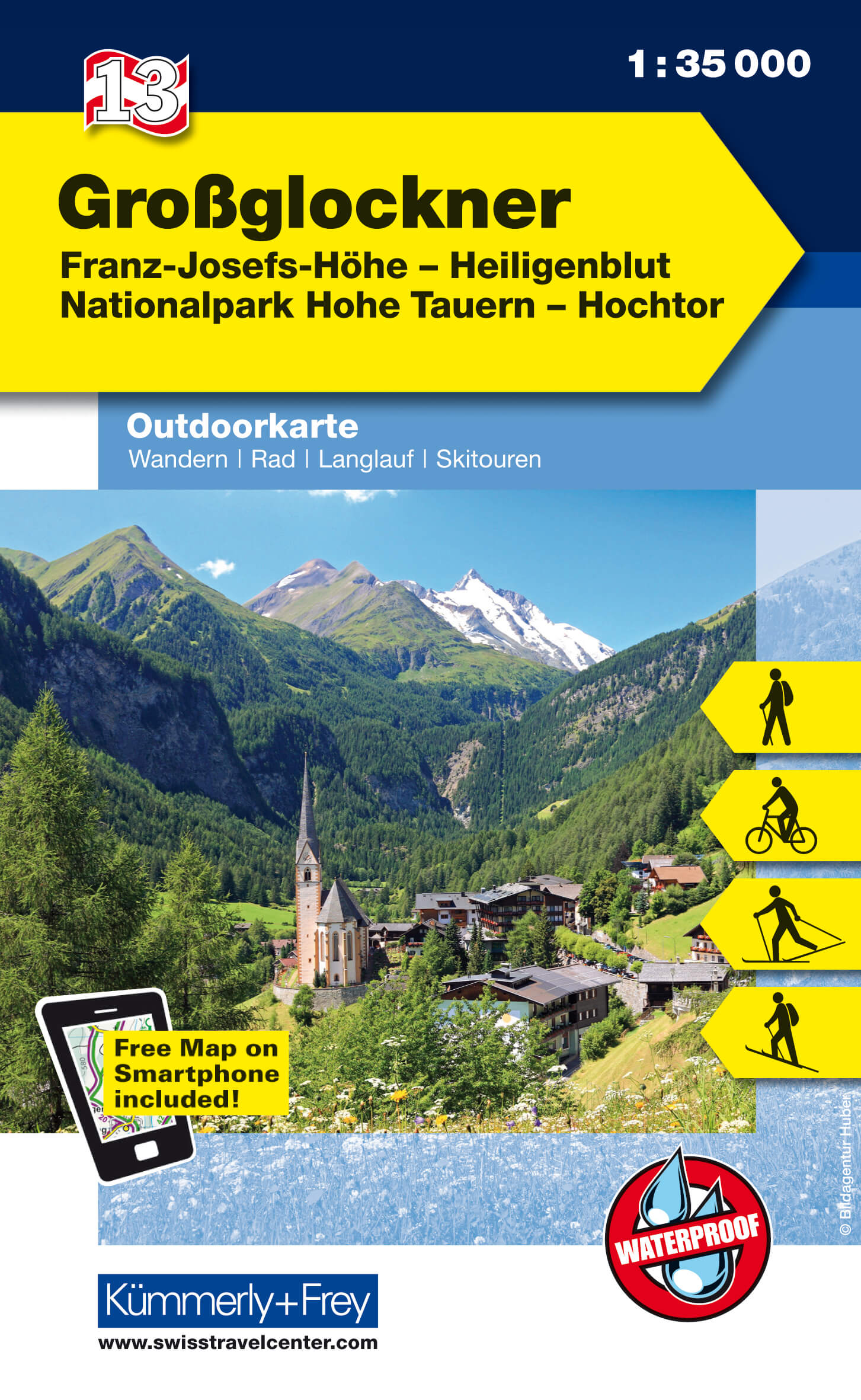
  • Kals - Heiligenblut - Matrei - Lienz F&B WK181
  • Kals - Heiligenblut - Matrei - Lienz area of the Austrian Alps presented at 1:50,000 in a series of contoured and GPS compatible outdoor leisure map from Freytag & Berndt with hiking and cycling routes, mountain huts, campsites and youth hostels, local bus stops, plus other tourist information.To see the list of currently available titles in... Read more
The Book Depository
United Kingdom
  • Kals - Heiligenblut - Matrei - Lienz Hiking + Leisure Map 1:50 000
  • Kals - Heiligenblut - Matrei - Lienz area of the Austrian Alps presented at 1:50,000 in a series of contoured and GPS compatible outdoor leisure map from Freytag & Berndt with hiking and cycling routes, mountain huts, campsites and youth hostels, local bus stops, plus other tourist information.To see the list of currently available titles in... Read more
» Click to close
Bol.com
Netherlands
» Click to open
Bol.com
Belgium
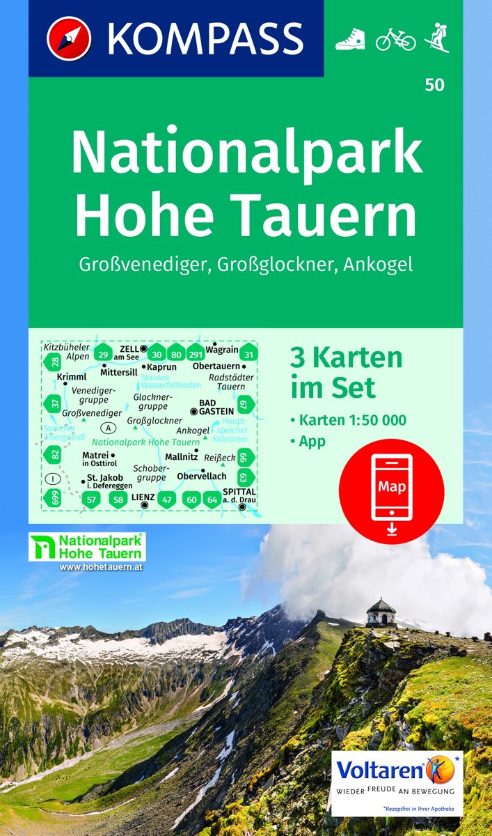
  • Nationalpark Hohe Tauern, Großvenediger, Großglockner, Ankogel 1:50 000
  • KOMPASS-Wanderkarten enthalten alles Wissenswerte für Wanderer wie aktuelle Wanderwege mit Markierungen, empfehlenswerte Radrouten und wichtige touristische Informationen.Der topographische Inhalt wird bei aller Detailgenauigkeit leicht lesbar und anschaulich dargestellt.Dieses Kartenset besteht aus: . Kartenblatt Mitte: Großglockner.... Read more
» Click to close
Bol.com
Netherlands
» Click to open
Bol.com
Belgium
  • Kompass WK39 Glocknergruppe, Nationalpark Hohe Tauern
  • Deze Kompass wandelkaart, schaal 1:50 000, is ideaal om uw route uit te stippelen en om onderweg te gebruiken • naast de bekende bestemmingen, worden ook de minder bekende vermeld • openbaar vervoer bij begin- of eindpunt van een route aangegeven • eenvoudige wandelingen tot pittige (berg)tochten, voor getrainde en ongetrainde wandelaars • met... Read more
» Click to close
Bol.com
Netherlands
» Click to open
Bol.com
Belgium
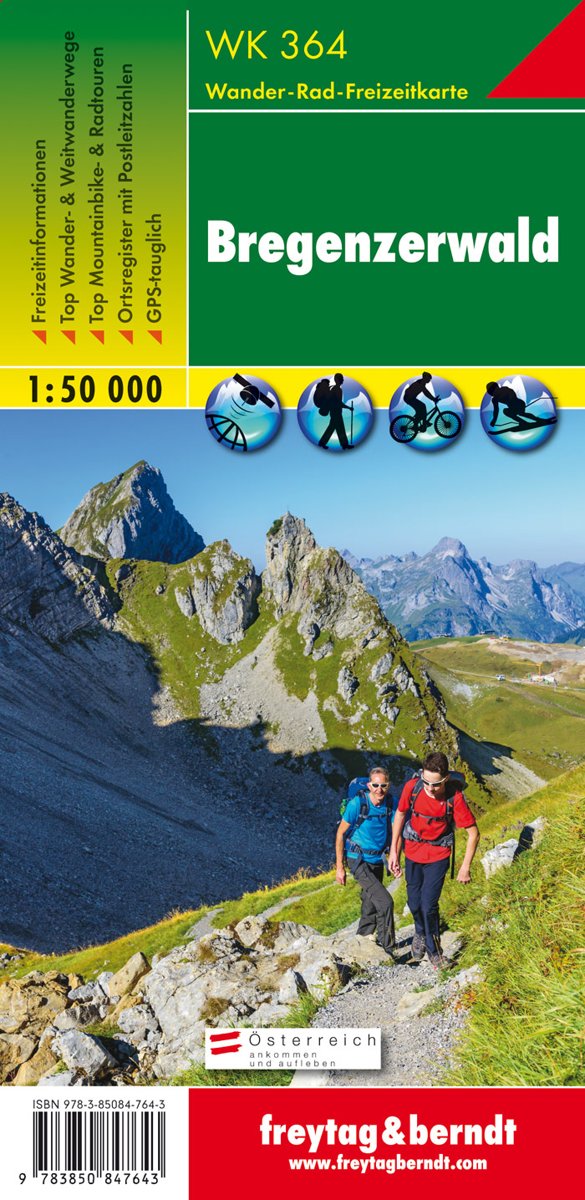
  • FB WK364 Bregenzerwald
  • Aufgrund der übersichtlichen und detailgetreuen, digitalen Kartographie sowie der ideal gewählten Maßstäbe sind freytag & berndt Wanderkarten der perfekte Begleiter beim Wandern und Bergsteigen. Sie werden regelmäßig überarbeitet und enthalten aktualisierte Informationen zu Wanderwegen, Rad- und Mountainbikestrecken, Hütten, Naturdenkmälern,... Read more
Stanfords
United Kingdom
  • Bregenz Forest F&B WK364
  • Bregenz - Bregenzerwald area of the Austrian Alps presented at 1:50,000 in a series of contoured and GPS compatible outdoor leisure map from Freytag & Berndt with hiking and cycling routes, mountain huts, campsites and youth hostels, local bus stops, plus other tourist information. To see the list of currently available titles in this series... Read more
The Book Depository
United Kingdom
  • Bregenz Forest Hiking + Leisure Map 1:50 000
  • Bregenz - Bregenzerwald area of the Austrian Alps presented at 1:50,000 in a series of contoured and GPS compatible outdoor leisure map from Freytag & Berndt with hiking and cycling routes, mountain huts, campsites and youth hostels, local bus stops, plus other tourist information. To see the list of currently available titles in this series... Read more
» Click to close
Bol.com
Netherlands
» Click to open
Bol.com
Belgium
  • Kompass WK50 Nationalpark Hohe Tauern
  • Deze 3-deilge set Kompass wandelkaarten, schaal 1:50 000, is ideaal om uw route uit te stippelen en om onderweg te gebruiken naast de bekende bestemmingen, worden ook de minder bekende vermeld openbaar vervoer bij begin- of eindpunt van een route aangegeven eenvoudige wandelingen tot pittige (berg)tochten, voor getrainde en ongetrainde... Read more
» Click to close
Stanfords
United Kingdom
Stanfords
United Kingdom
Stanfords
United Kingdom
Stanfords
United Kingdom
Stanfords
United Kingdom
Stanfords
United Kingdom
Stanfords
United Kingdom
Stanfords
United Kingdom
Stanfords
United Kingdom
Stanfords
United Kingdom
2013