De Zwerver
Netherlands

Stanfords
United Kingdom
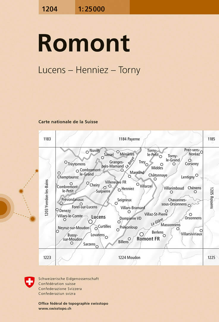
- Romont Swisstopo 1204
- Map No. 1204, Romont, in the topographic survey of Switzerland at 1:25,000 from Bundesamt für Landestopographie (swisstopo), covering the whole country on 247 small format sheets, with special larger maps published for popular regions including some titles now available in hiking versions.Highly regarded for their superb use of graphic relief... Read more

De Zwerver
Netherlands

Stanfords
United Kingdom
- Matterhorn / M. Cervino - Monte Rosa IGC 5
- The Italian side of the Matterhorn and Monte Rosa, with coverage extending from Zermatt to Aosta, in a series contoured hiking maps at 1:50,000 with local trails, long-distance footpaths, mountain accommodation, etc. from the Turin based Istituto Geografico Centrale. Maps in this series have contours at 50m intervals, enhanced by shading and... Read more
De Zwerver
Netherlands

Stanfords
United Kingdom
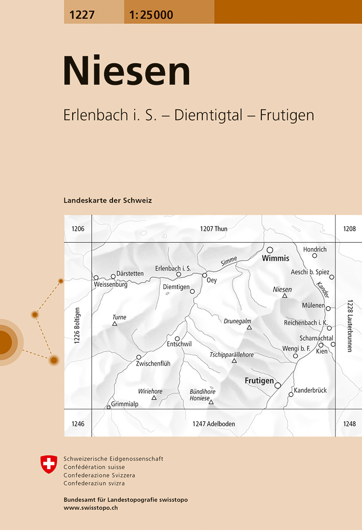
- Niesen Swisstopo 1227
- Map No. 1227, Niesen, in the topographic survey of Switzerland at 1:25,000 from Bundesamt für Landestopographie (swisstopo), covering the whole country on 247 small format sheets, with special larger maps published for popular regions including some titles now available in hiking versions.Highly regarded for their superb use of graphic relief... Read more

De Zwerver
Netherlands

Stanfords
United Kingdom
- Il Canavese: Ivrea to Chiavasso 50K IGC Map No. 21
- Il Canavesea area including Ivrea and Chiavasso in a series contoured hiking maps at 1:50,000 with local trails, long-distance footpaths, mountain accommodation, etc. from the Turin based Istituto Geografico Centrale. This title also shows cycle routes.Maps in this series have contours at 50m intervals, enhanced by shading and graphic relief.... Read more

De Zwerver
Netherlands
- Wandelkaart 19 Asti, Alba, Acqui terme | IGC - Istituto Geografico Centrale
- Asti - Alba - Acqui Terme area in a series contoured hiking maps at 1:50,000 with local trails, long-distance footpaths, mountain accommodation, etc. from the Turin based Istituto Geografico Centrale.Maps in this series have contours at 50m intervals, enhanced by shading and graphic relief. An overprint highlights local footpaths and... Read more

Stanfords
United Kingdom
- Asti - Alba - Acqui Terme IGC 19
- Asti - Alba - Acqui Terme area in a series contoured hiking maps at 1:50,000 with local trails, long-distance footpaths, mountain accommodation, etc. from the Turin based Istituto Geografico Centrale.Maps in this series have contours at 50m intervals, enhanced by shading and graphic relief. An overprint highlights local footpaths and... Read more
De Zwerver
Netherlands

Stanfords
United Kingdom
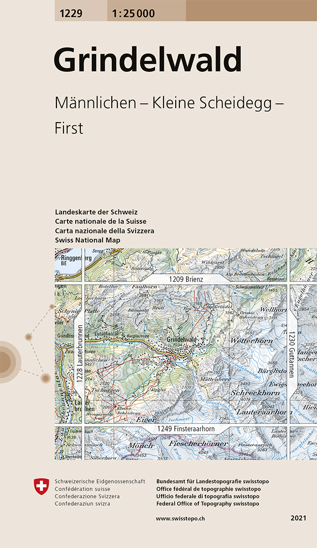
- Grindelwald - Mannlichen - Kleine Scheidegg - First Swisstopo 1229
- Map No. 1229, Grindelwald, in the topographic survey of Switzerland at 1:25,000 from Swisstopo. The map is centered on Grindelwald and extends west to Lütschental, south to Kleine Scheidegg and the peak of the Eiger, east to include the peaks of Wetterhorn, Bärglistock and Lauteraarhorn, and northwards to cover the mountain connections to... Read more
De Zwerver
Netherlands
Stanfords
United Kingdom
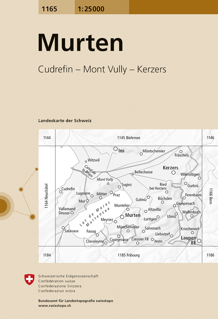
- Murten Swisstopo 1165
- Map No. 1165, Murten, in the topographic survey of Switzerland at 1:25,000 from Bundesamt für Landestopographie (swisstopo), covering the whole country on 247 small format sheets, with special larger maps published for popular regions including some titles now available in hiking versions.Highly regarded for their superb use of graphic relief... Read more
De Zwerver
Netherlands

Stanfords
United Kingdom
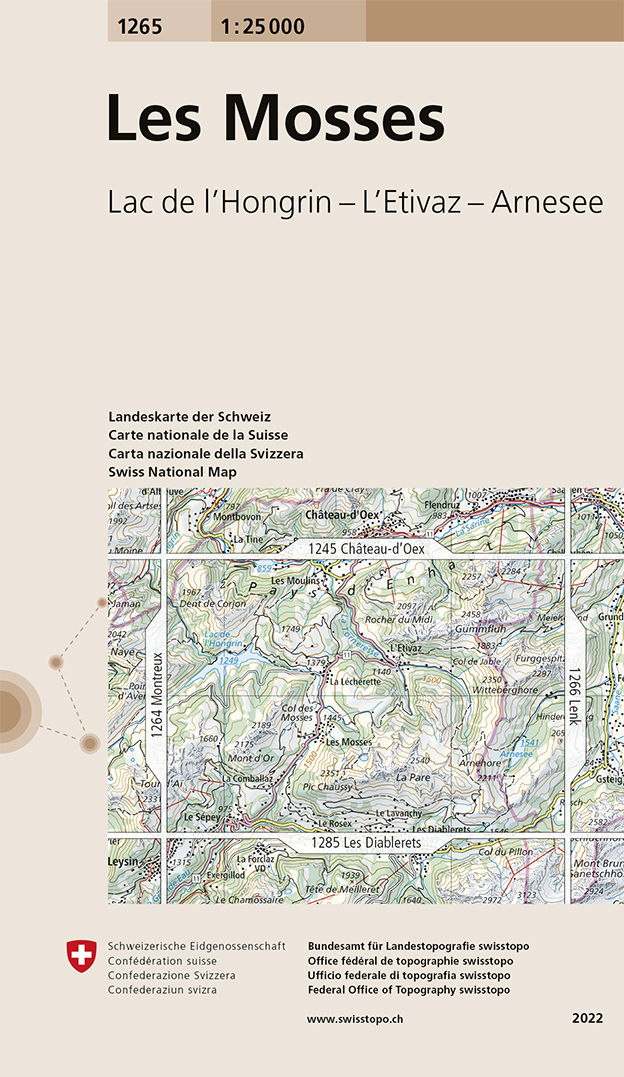
- Les Mosses Swisstopo 1265
- Map No. 1265, Les Mosses, in the topographic survey of Switzerland at 1:25,000 from Bundesamt für Landestopographie (swisstopo), covering the whole country on 247 small format sheets, with special larger maps published for popular regions including some titles now available in hiking versions.Highly regarded for their superb use of graphic... Read more
De Zwerver
Netherlands

Stanfords
United Kingdom
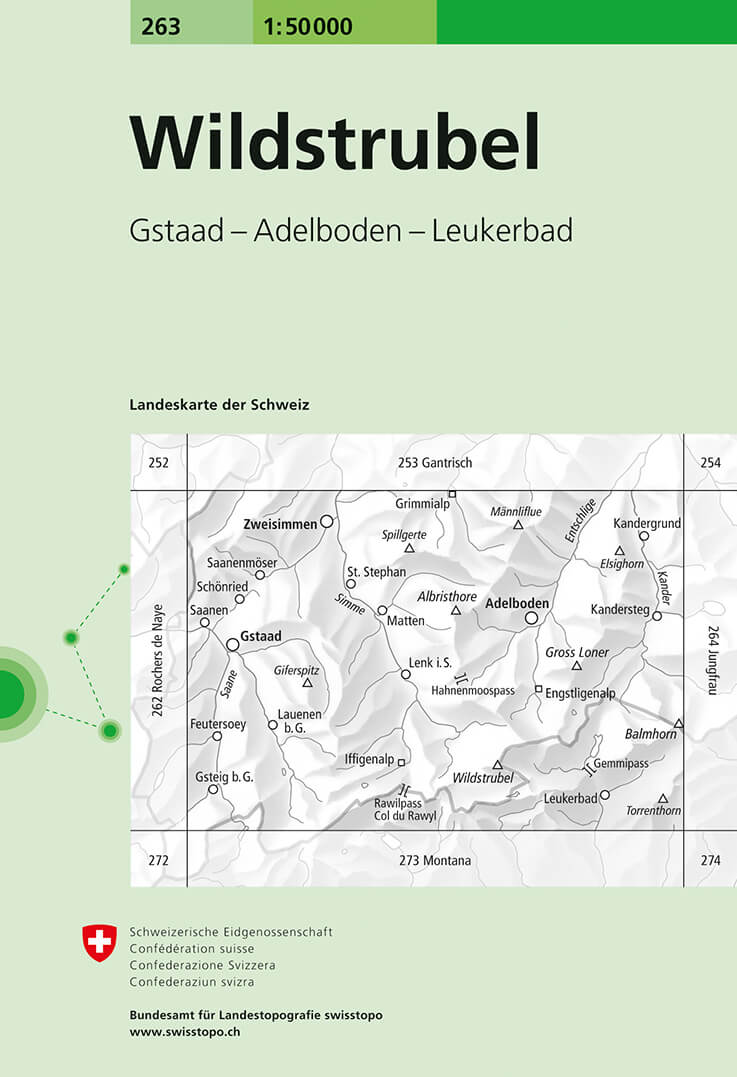
- Wildstrubel Swisstopo 263
- Wildstrubel, map No. 263, in the standard topographic survey of Switzerland at 1:50,000 from Swisstopo, i.e. without the special overprint highlighting walking trails, local bus stops, etc, presented in Swisstopo’s hiking editions of the 50K survey. Coverage extends from Saanen and Gstaad in the west to Kandersteg in the east and includes... Read more
De Zwerver
Netherlands
- Wandelkaart - Topografische kaart 5019 Weissenstein - Oberaargau | Swisstopo
- Samengestelde kaart van de normale 50.000 serie, daardoor bestrijkt deze kaart een veel groter gebied. Deze kaarten zijn beroemd en gewaardeerd om het geweldige kleurgebruik voor reliëf en hoogte door schaduwwerking. De kaarten geven bijna een 3-D beeld van het landschap. De hoogtelijnen kennen een interval van 20 meter. Wandelroutes en... Read more

Stanfords
United Kingdom
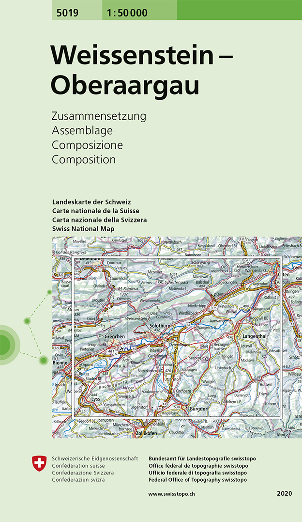
- Weissenstein - Oberaargau Swisstopo 5019
- Weissenstein – Oberaargau area, map No. 5019, in the standard topographic survey of Switzerland at 1:50,000 from Swisstopo, i.e. without the special overprint highlighting walking trails, local bus stops, etc, presented in Swisstopo’s hiking editions of the 50K survey. Highly regarded for their superb use of graphic relief and hill shading, the... Read more
De Zwerver
Netherlands

Stanfords
United Kingdom
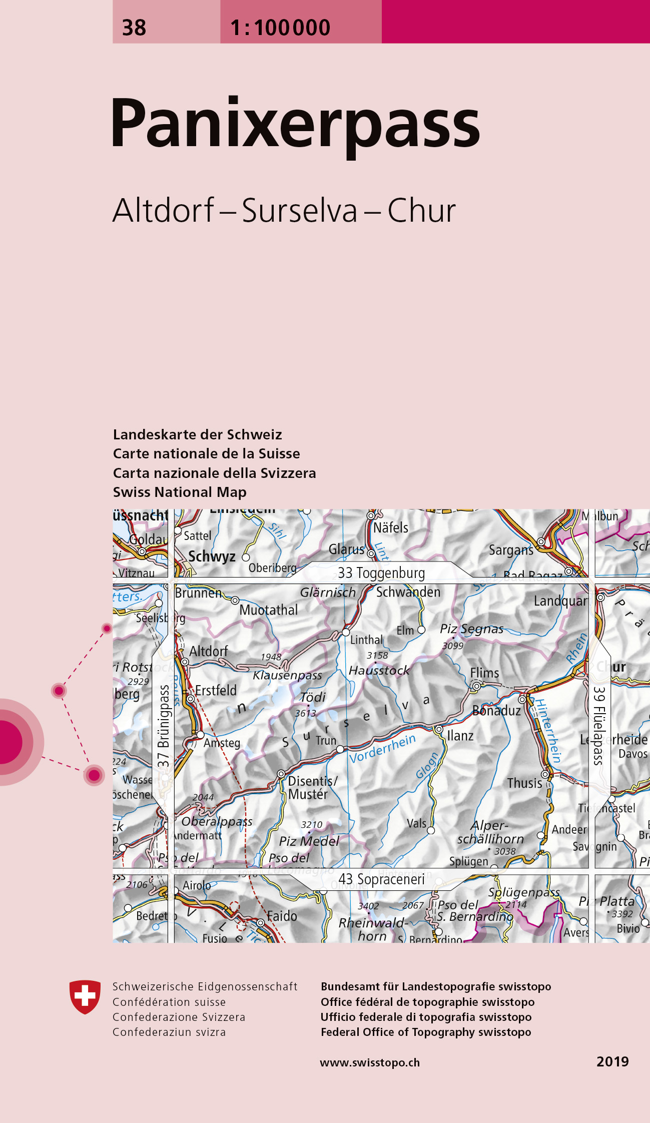
- Panixerpass Swisstopo 38
- Swiss topographic survey at 1:100,000 from Swisstopo, highly regarded for it superb use of graphic relief and hill shading, presenting an almost 3-D picture of the country`s mountainous terrain. Coverage is available either as small size standard sheets – Nos 26 to 48, each covering 70 x 48 km / 43 x 30 miles approx, or as larger size maps -... Read more
De Zwerver
Netherlands
De Zwerver
Netherlands
Stanfords
United Kingdom
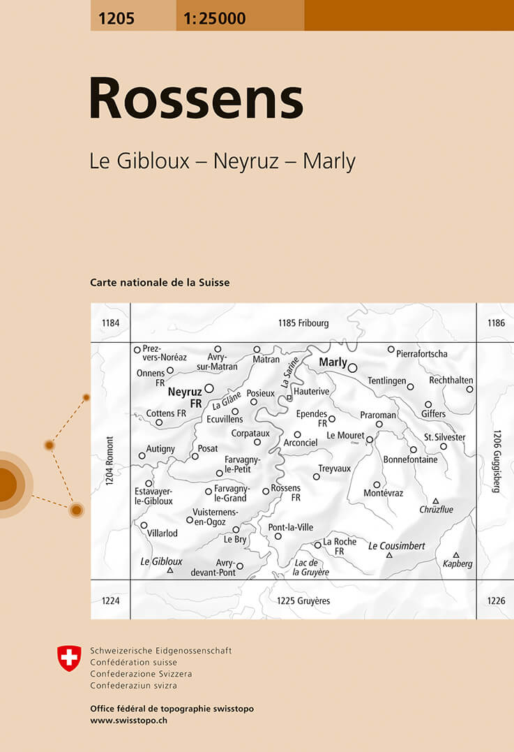
- Rossens Swisstopo 1205
- Map No. 1205, Rossens, in the topographic survey of Switzerland at 1:25,000 from Bundesamt für Landestopographie (swisstopo), covering the whole country on 247 small format sheets, with special larger maps published for popular regions including some titles now available in hiking versions.Highly regarded for their superb use of graphic relief... Read more

De Zwerver
Netherlands
- Wandelkaart 07 Valli Maira, grana e stura | IGC - Istituto Geografico Centrale
- Maira, Grana and Stura Valleys, map no. 7, in a series contoured hiking maps at 1:50,000 with local trails, long-distance footpaths, mountain accommodation, etc. from the Turin based Istituto Geografico Centrale covering the Italian Alps and Piedmont, the lakes and northern Lombardy, and the Italian Riviera.The maps have contours at 50m... Read more

Stanfords
United Kingdom
- Maira, Grana and Stura Valleys IGC 7
- Maira, Grana and Stura Valleys in a series contoured hiking maps at 1:50,000 with local trails, long-distance footpaths, mountain accommodation, etc. from the Turin based Istituto Geografico Centrale.Maps in this series have contours at 50m intervals, enhanced by shading and graphic relief. An overprint highlights local footpaths and... Read more
De Zwerver
Netherlands
- Wandelkaart - Topografische kaart 1244 Châtel-St-Denis | Swisstopo
- Zeer gedetailleerde wandelkaart van een deel van Zwitserland. De topografische details van deze kaarten zijn onovertroffen; de werkelijkheid is perfect weergegeven op deze kaart van uitzonderlijk hoog niveau. Ze zijn geschikt voor alle soorten gebruik: voor eenvoudige wandeltochten in simpel terrein tot zware bergtochten en beklimmingen van de... Read more

Stanfords
United Kingdom
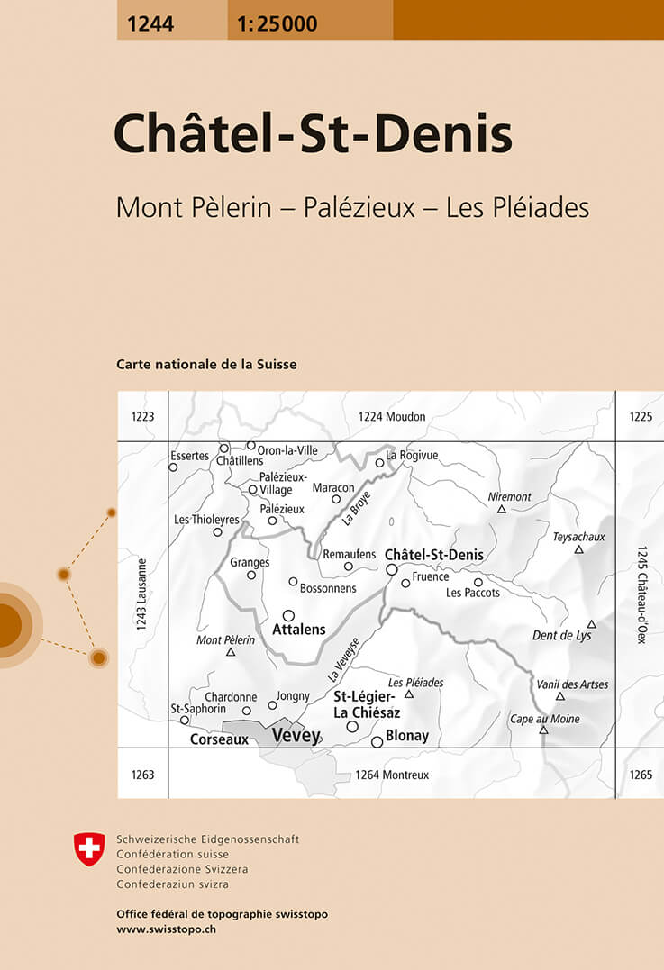
- Châtel-St-Denis Swisstopo 1244
- Map No. 1244, Châtel-St-Denis, in the topographic survey of Switzerland at 1:25,000 from Bundesamt für Landestopographie (swisstopo), covering the whole country on 247 small format sheets, with special larger maps published for popular regions including some titles now available in hiking versions.Highly regarded for their superb use of graphic... Read more
