De Zwerver
Netherlands
» Click to open
Stanfords
United Kingdom
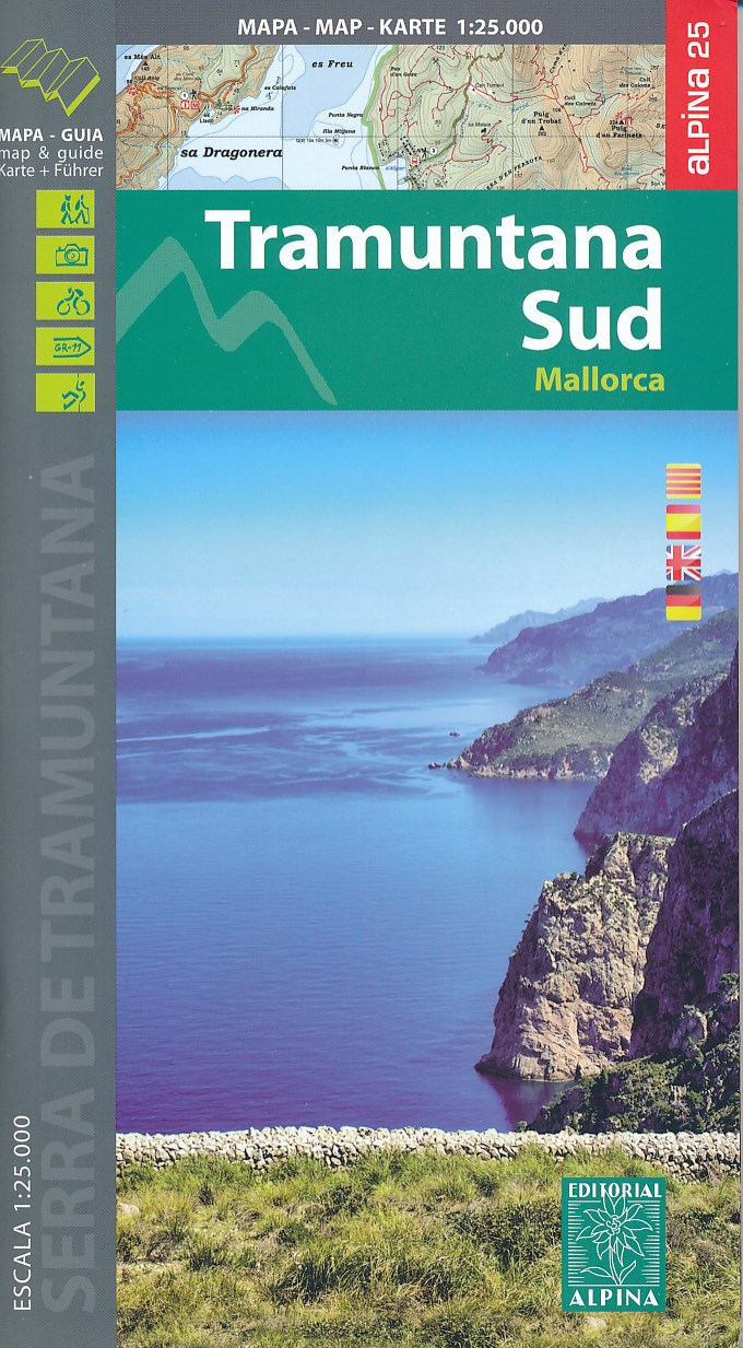
  • Mallorca - Tramuntana South Editorial Alpina
  • The southern part of Mallorca’s Serra de Tramuntana mountains on a contoured and GPS-compatible map at 1:25,000 from Editorial Alpina, highlighting numerous local hiking trails and the course of the GR221 long-distance trail, climbing and canyoning sites, refuges and campsites, etc. Accompanying booklet includes English-language descriptions of... Read more
» Click to close
De Zwerver
Netherlands
» Click to open
Stanfords
United Kingdom
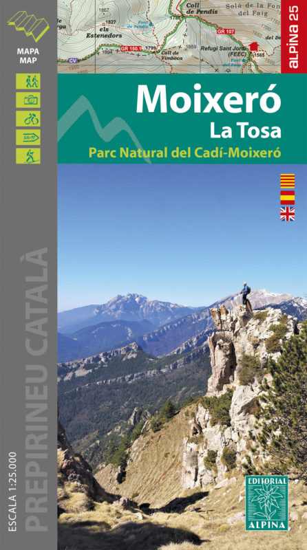
  • Moixeró - La Tosa - Cadí-Moixeró Natural Park Editorial Alpina
  • Moixeró - La Tosa in an extensive and very popular series of walking maps from Editorial Alpina covering the Pyrenees, Catalonia and other selected hiking areas in Spain, including Picos de Europa, Sierra Nevada and parts of Andalucía, Majorca, etc. Scales vary from 1:50,000 to 1:10,000, with the majority of the titles at 1:25,000. The maps... Read more
» Click to close
De Zwerver
Netherlands
De Zwerver
Netherlands
» Click to open
Stanfords
United Kingdom
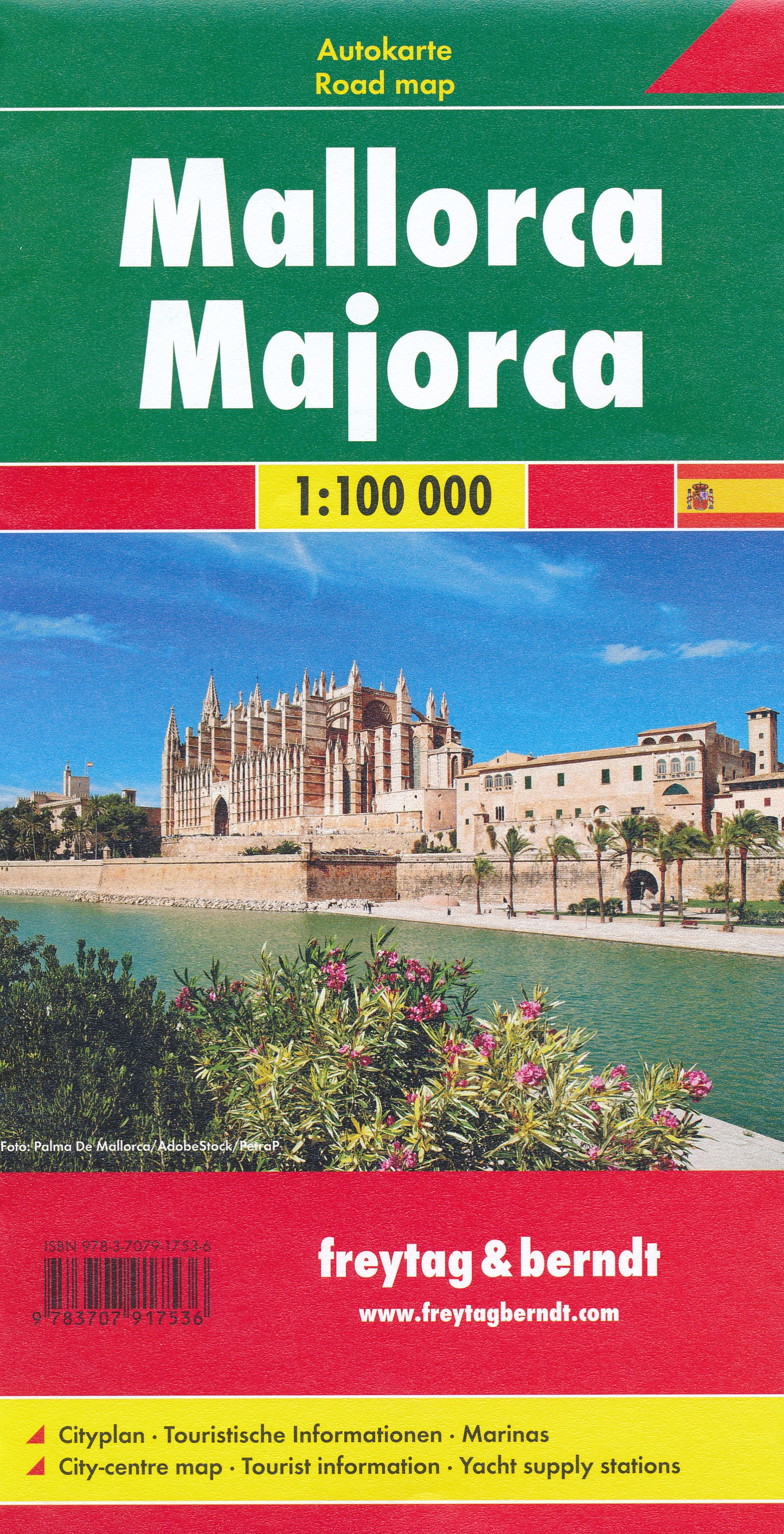
  • Mallorca F&B
  • Majorca at 1:50,000 on a large, double-sided, contoured map from Freytag & Berndt, with highlighting for scenic roads and tourist routes, plus a booklet with a GPS-annotated index, street plan of central Palma, and multilingual descriptions of the island’s best sights.Topography is shown by contours at 100m intervals, with numerous spot height,... Read more
» Click to close
De Zwerver
Netherlands
» Click to open
Stanfords
United Kingdom
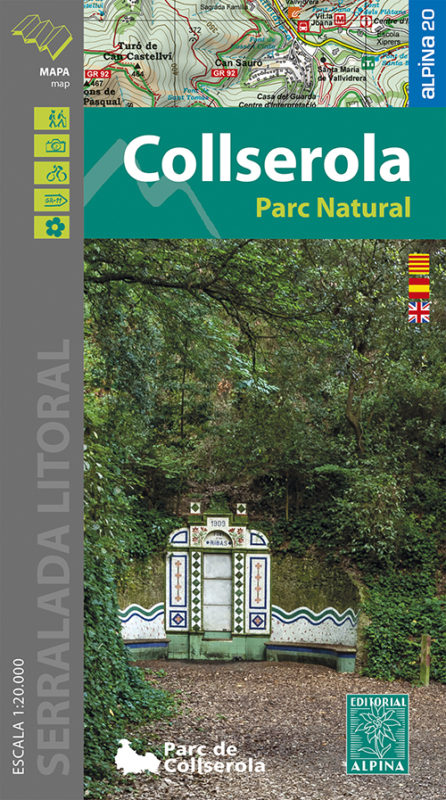
  • Collserola Parc Natural Editorial Alpina
  • Collserola Natural Park in an extensive and very popular series of walking maps from Editorial Alpina covering the Pyrenees, Catalonia and other selected hiking areas in Spain, including Picos de Europa, Sierra Nevada and parts of Andalucía, Majorca, etc. Scales vary from 1:50,000 to 1:10,000, with the majority of the titles at 1:25,000. The... Read more
» Click to close
De Zwerver
Netherlands
2012
» Click to open
Stanfords
United Kingdom
2012
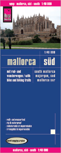
  • Mallorca South Reise Know-How
  • Southern Mallorca at 1:40,000 in a series of four GPS compatible, double-sided maps from Reise Know-How printed on light, waterproof and tear-resistant synthetic paper, with very clear presentation of the road network, plus selected hiking and cycling routes.Maps in this series have contours at 100m intervals, enhanced by altitude colouring,... Read more
» Click to close
De Zwerver
Netherlands
De Zwerver
Netherlands
» Click to open
Stanfords
United Kingdom
  • Valles de Irati y Aezkoa Editorial Alpina
  • Valles de Irati & Aezkoa in an extensive and very popular series of walking maps from Editorial Alpina covering the Pyrenees, Catalonia and other selected hiking areas in Spain, including Picos de Europa, Sierra Nevada and parts of Andalucía, Majorca, etc. Scales vary from 1:50,000 to 1:10,000, with the majority of the titles at 1:25,000. The... Read more
» Click to close
De Zwerver
Netherlands
» Click to open
Stanfords
United Kingdom
» Click to close
De Zwerver
Netherlands
2022
» Click to open
Stanfords
United Kingdom
2022
  • Mallorca F&B Road and Leisure Map
  • Majorca at 1:50,000 on a large, double-sided, contoured map from Freytag & Berndt, with highlighting for scenic roads and tourist routes, plus a booklet with a GPS-annotated index, street plan of central Palma, and multilingual descriptions of the island’s best sights.Topography is shown by contours at 100m intervals, with numerous spot height,... Read more
» Click to close
De Zwerver
Netherlands
2014
» Click to open
Stanfords
United Kingdom
2014
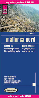
  • Mallorca North Reise Know-How
  • Northern Mallorca at 1:40,000 in a series of four GPS compatible, double-sided maps from Reise Know-How printed on light, waterproof and tear-resistant synthetic paper, with very clear presentation of the road network, plus selected hiking and cycling routes.Maps in this series have contours at 100m intervals, enhanced by altitude colouring,... Read more
» Click to close
De Zwerver
Netherlands
De Zwerver
Netherlands
2017
» Click to open
Stanfords
United Kingdom
2017
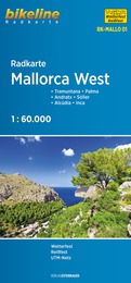
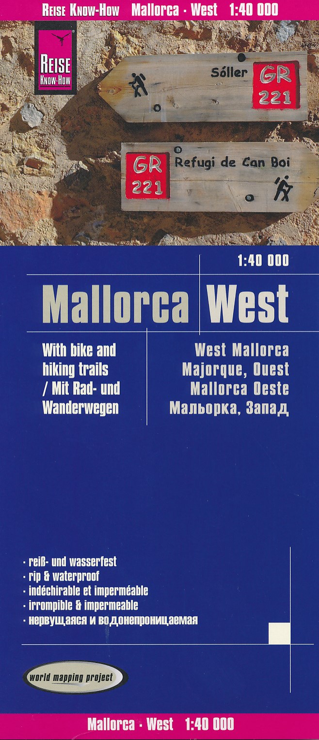
  • Mallorca West Reise Know-How
  • Western Mallorca at 1:40,000 in a series of four GPS compatible, double-sided maps from Reise Know-How printed on light, waterproof and tear-resistant synthetic paper, with very clear presentation of the road network, plus selected hiking and cycling routes.Maps in this series have contours at 100m intervals, enhanced by altitude colouring,... Read more
» Click to close
De Zwerver
Netherlands
» Click to open
Stanfords
United Kingdom
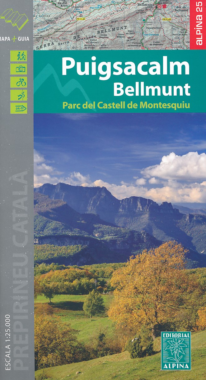
  • Puigsacalm - Bellmunt Editorial Alpina
  • Puigsacalm - Bellmunt in an extensive and very popular series of walking maps from Editorial Alpina covering the Pyrenees, Catalonia and other selected hiking areas in Spain, including Picos de Europa, Sierra Nevada and parts of Andalucía, Majorca, etc. Scales vary from 1:50,000 to 1:10,000, with the majority of the titles at 1:25,000. The maps... Read more
» Click to close
De Zwerver
Netherlands
2019