
Croatië
Beschrijving
 Although renowned for its sunny beaches, Croatia does not make haste establishing long distance hiking trails. European long distance trails E6 and E7 are planned to run through Croatia, but hiking enthousiasts will find little more than a dotted line on the map to show where the trail is supposed to come.
So skip Croatia? No, certainly not. The country offers some outstanding mountain landscapes, with towering karst formations, white rocks in polished formations and deep crags. They are part of the Dinaric Alps and typical for Croatia. In between the limestone ranges are forests, and green slopes covered in snow until spring, when the crocuses start to bloom. This makes for some lovely walking, also because temperatures are still agreeable at this time of year. The mountains are not very high. Mount Croatia Dinara is the highest at 1831m, a large dry outcrop surrounded by wilderness.
Walking the mountains is a popular local pastime. The Croatians will tell you where to go and how to find the best mountain huts. There are numerous great 2- or 3-day hikes. Many trails are well kept and marked profusely in red and white. Most popular are the Velebit range, and Paklenica with its bizarre limestone rocks and peaks up to 1750m high.
Don't forget the Adriatic Sea coast with its many islands. These are easy to reach, often interconnected and differ considerably one from the other. Hiking Rab, Pag and Vis is fun, but beware: one hiker stepped on a landmine not long ago, so keep away from any military grounds. Spring and autumn are the best seasons, particularly in these low parts, because summer can get very hot. If you want to go in summer anyway, start out early and carry lots of drinking water.
Paden
Regios


Links
Feiten
Verslagen
Gidsen en kaarten
Overnachting
Organisaties
Reisorganisaties
GPS
Anders
Boeken
Netherlands
2018
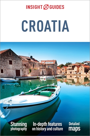
- Reisgids Croatia - Kroatië | Insight Guides
- Een rijk geillustreerde reisgids met diepgaande teksten: één van de beste reisgidsen die er bestaan. Eerste deel bestaat uit een beschrijving van de unieke aspecten van de regio, daarna een deel echte reisgids en als afsluiting een deel met praktische informatie. De uitstekende informatie wordt vergezeld van prachtige foto's en heldere kaarten.... Read more
Netherlands
2018
- Reisgids Kroatien - Kroatië | Reise Know-How Verlag
- Toonaangevende reisgids van Duitse makelij. Zeer degelijk, boordevol praktische informatie en achtergrondbeschrijvingen. Absoluut de een ijzersterke reisgids..... Een aanrader voor zowel de zelfstandige als de georganiseerde reiziger. Dieser Reiseführer deckt die gesamte Küstenregion der Kvarner Bucht und Dalmatiens ab - von Opatija im Norden... Read more
Netherlands
2016
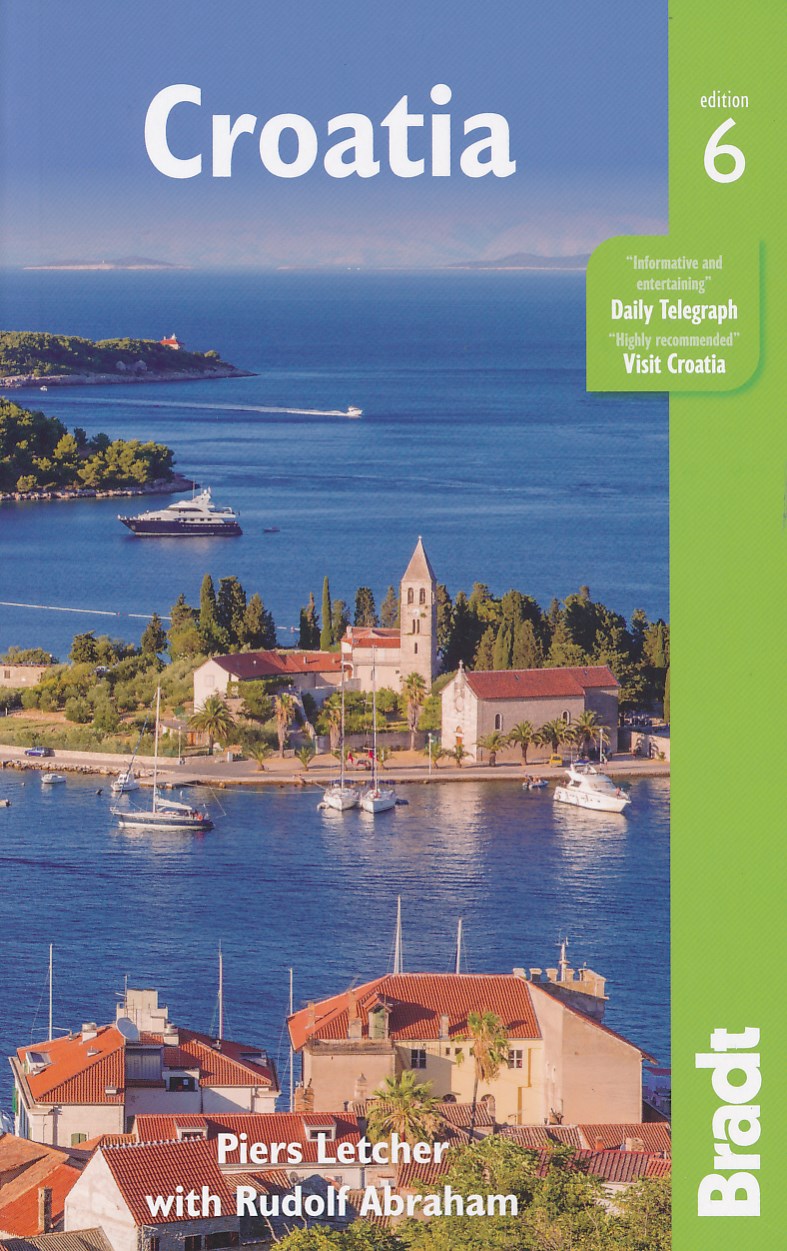
- Reisgids Croatia - Kroatië | Bradt Travel Guides
- Een Engelstalige, praktische reisgids voor de avontuurlijke reiziger, boordevol informatie over accommodatie van budget tot luxe, vervoer, plaatsbeschrijvingen en natuur - kenmerk : kritisch op toeristische pleisterplekken en de stijl is verhalend. This new edition of Bradt's Croatia is thoroughly updated to reflect recent changes, especially... Read more
Kaarten
Netherlands
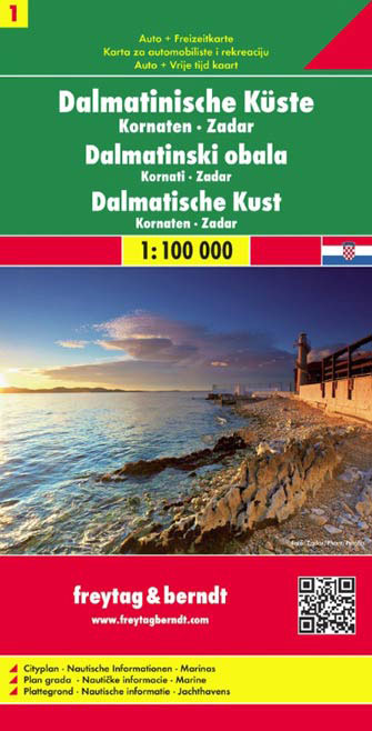
- Wegenkaart - landkaart 01 Dalmatische Kust Zadar - Kornaten | Freytag & Berndt
- The Dalmatian Coast of Croatia around Zadar and the Kornati Islands on a detailed, indexed map at 1:100,000 from Freytag & Berndt with large icons indicating various facilities including campsites and beaches, ferry connections, etc.Coverage includes the islands of Kormat, Pasman Ugljan, Dugi Otok and the southern part of Pag. The map shows... Read more
- Also available from:
- Stanfords, United Kingdom

United Kingdom
- Dalmatian Coast 1 - Zadar - Kornati Islands F&B
- The Dalmatian Coast of Croatia around Zadar and the Kornati Islands on a detailed, indexed map at 1:100,000 from Freytag & Berndt with large icons indicating various facilities including campsites and beaches, ferry connections, etc.Coverage includes the islands of Kormat, Pasman Ugljan, Dugi Otok and the southern part of Pag. The map shows... Read more
Netherlands
2023
Netherlands
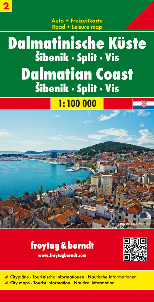
- Wegenkaart - landkaart 02 Dalmatische Kust Sibenik - Split - Vis | Freytag & Berndt
- The Dalmatian Coast of Croatia between Split and Murter on a detailed, indexed map at 1:100,000 from Freytag & Berndt with large icons indicating various facilities including campsites and beaches, ferry connections, etc.Coverage includes Sibenik, Trogir and the islands of Solta and Vis. The map shows local roads, highlighting scenic routes,... Read more
- Also available from:
- Stanfords, United Kingdom

United Kingdom
- Dalmatian Coast 2 - Sibenik - Split - Vis F&B
- The Dalmatian Coast of Croatia between Split and Murter on a detailed, indexed map at 1:100,000 from Freytag & Berndt with large icons indicating various facilities including campsites and beaches, ferry connections, etc.Coverage includes Sibenik, Trogir and the islands of Solta and Vis. The map shows local roads, highlighting scenic routes,... Read more
Netherlands
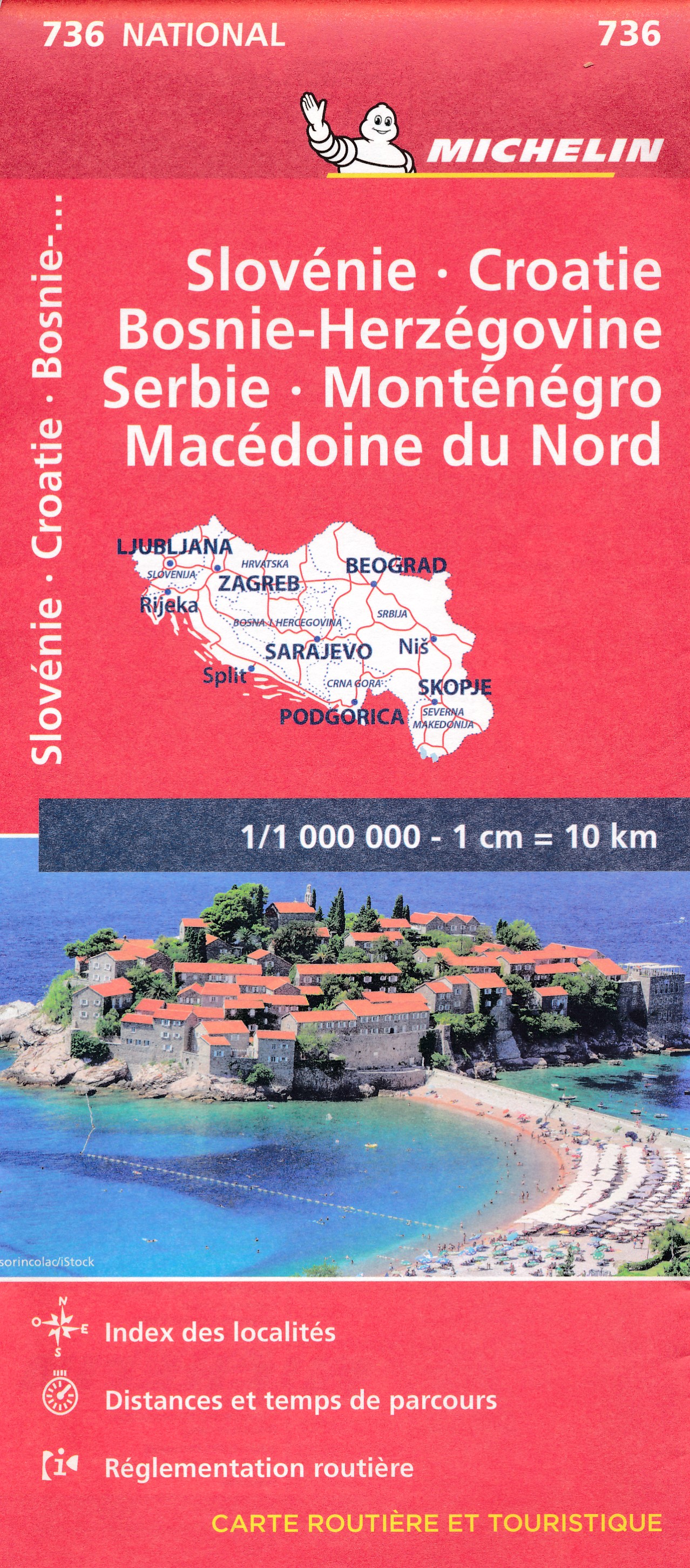
- Wegenkaart - landkaart 736 Slovenie, Kroatie, Bosnie-Herzegowina, Servie, Montenegro, Macedonie | Michelin
- Un voyage, ça se prépare : c?est pourquoi les cartes National Michelin participent à vos déplacements et vos choix d?itinéraires. Read more
Netherlands
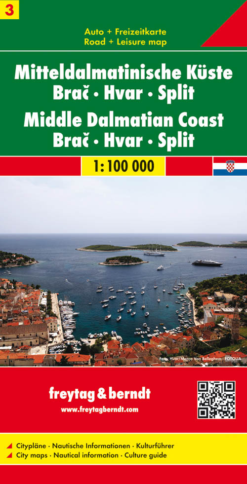
- Wegenkaart - landkaart 03 Dalmatische Kust Brac - Hvar - Split | Freytag & Berndt
- The Dalmatian Coast of Croatia from Split southwards to Gradec on a detailed map at 1:100,000 from Freytag & Berndt with large icons indicating various facilities including campsites and beaches, ferry connections, etc.Coverage includes the islands of Brac, Hvar, Vis, Korcula and Lastovo, plus the northern part of the Peljesac peninsula. The... Read more
- Also available from:
- Stanfords, United Kingdom

United Kingdom
- Middle Dalmatian Coast 3 - Brac - Hvar - Split F&B
- The Dalmatian Coast of Croatia from Split southwards to Gradec on a detailed map at 1:100,000 from Freytag & Berndt with large icons indicating various facilities including campsites and beaches, ferry connections, etc.Coverage includes the islands of Brac, Hvar, Vis, Korcula and Lastovo, plus the northern part of the Peljesac peninsula. The... Read more
Netherlands
Netherlands
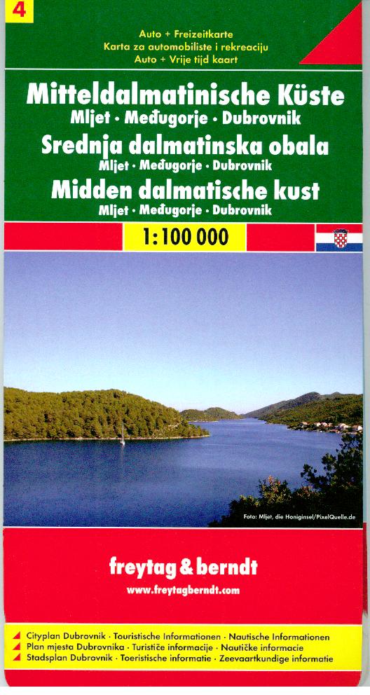
- Wegenkaart - landkaart 04 Dalmatische Kust Mljet - Dubrovnik - Medugorje | Freytag & Berndt
- The southernmost part of the Dalmatian Coast of Croatia including Dubrovnik on a detailed map at 1:100,000 from Freytag & Berndt with large icons indicating various facilities including campsites and beaches, ferry connections, etc.Coverage includes the islands of Mljet and Sipan, and the southern part of the Peljesac peninsula. The map shows... Read more
- Also available from:
- Stanfords, United Kingdom

United Kingdom
- Middle Dalmatian Coast 4 - Mljet - Medugorje - Dubrovnik F&B
- The southernmost part of the Dalmatian Coast of Croatia including Dubrovnik on a detailed map at 1:100,000 from Freytag & Berndt with large icons indicating various facilities including campsites and beaches, ferry connections, etc.Coverage includes the islands of Mljet and Sipan, and the southern part of the Peljesac peninsula. The map shows... Read more
Netherlands
2022
Netherlands
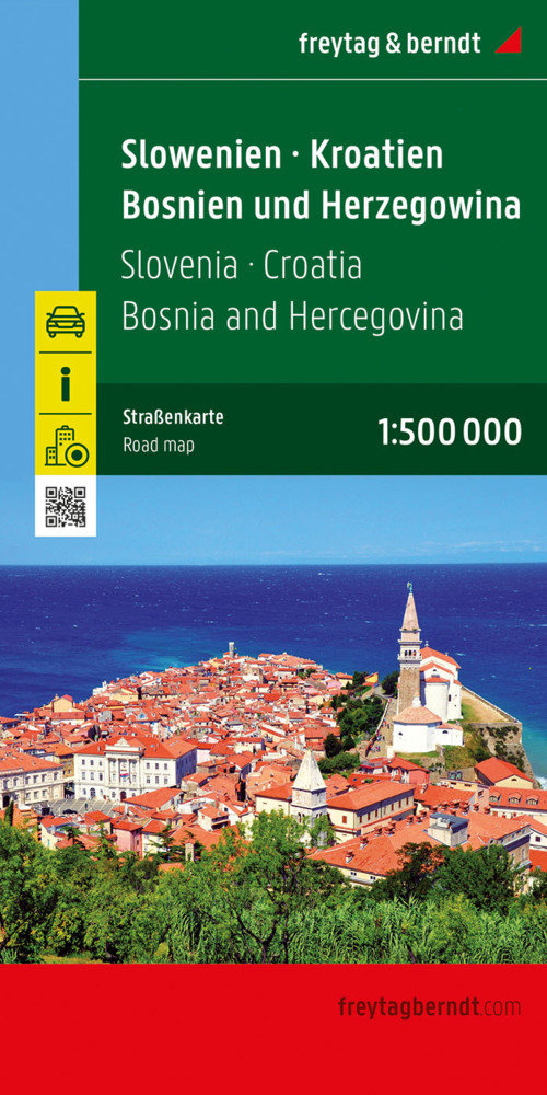
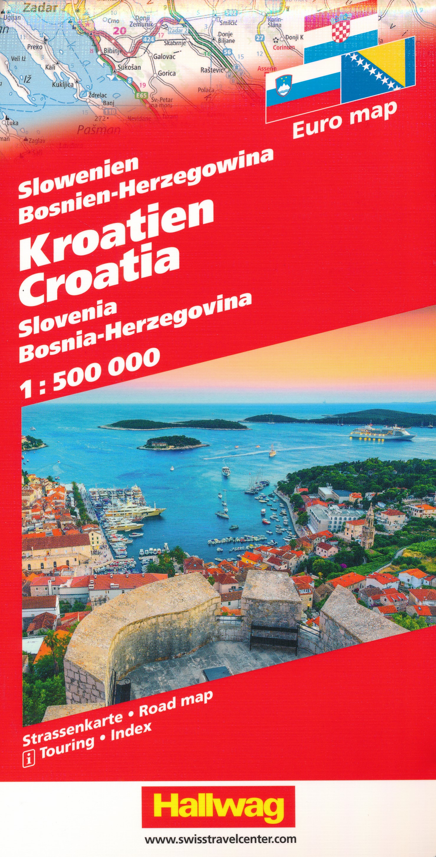
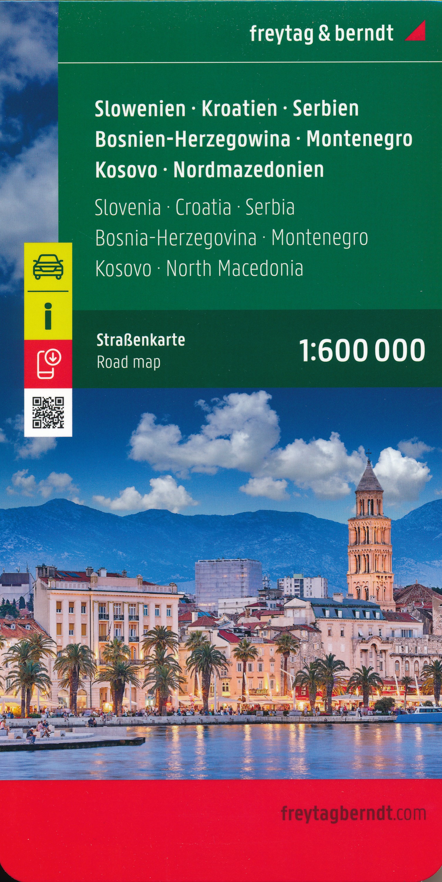
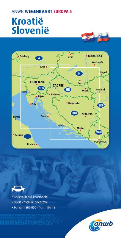
- Wegenkaart - landkaart Slovenië - Kroatië - Servië - Bosnië-Hercegovina - Montenegro - Kosovo - Macedonië | Freytag & Berndt
- Slowenien / Kroatien / Serbien / Bosnien-Herzegowina / Montenegro / Kosovo / Mazedonien 1 : 1 000 000. Autokarte ab 10.9 EURO Touristische Informationen. Dalmatinische Inseln 1:275 000. Schifffahrtslinien freytag & berndt Auto + Freizeitkarten. Laufzeit bis 2014 Read more
Netherlands
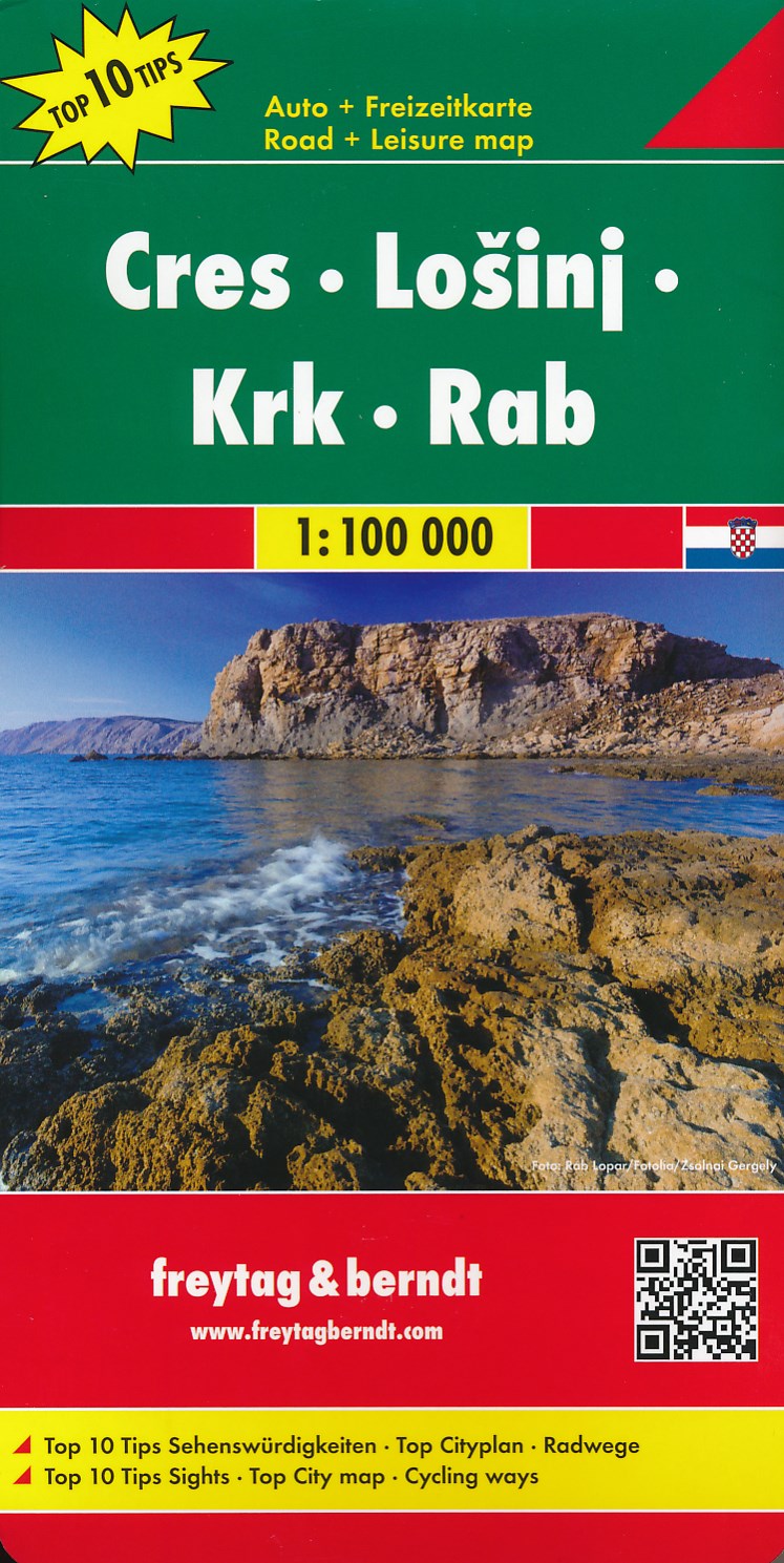
- Wegenkaart - landkaart Dalmatische Kust Cres - Losinj - Krk - Rab | Freytag & Berndt
- The northern part of the Dalmatian Coast of Croatia from Opatija and Rijeka to, on the mainland, beyond Jablanac on a detailed, indexed map at 1:100,000 from Freytag & Berndt, with the regions to 10 best sights given multilingual descriptions in a booklet attached to the map cover, plus a street plan of central Rijeka. Coverage includes the... Read more
- Also available from:
- Stanfords, United Kingdom

United Kingdom
- Cres - Losinj - Krk - Rab F&B Top 10 Tips
- The northern part of the Dalmatian Coast of Croatia from Opatija and Rijeka to, on the mainland, beyond Jablanac on a detailed, indexed map at 1:100,000 from Freytag & Berndt, with the regions to 10 best sights given multilingual descriptions in a booklet attached to the map cover, plus a street plan of central Rijeka. Coverage includes the... Read more
Netherlands
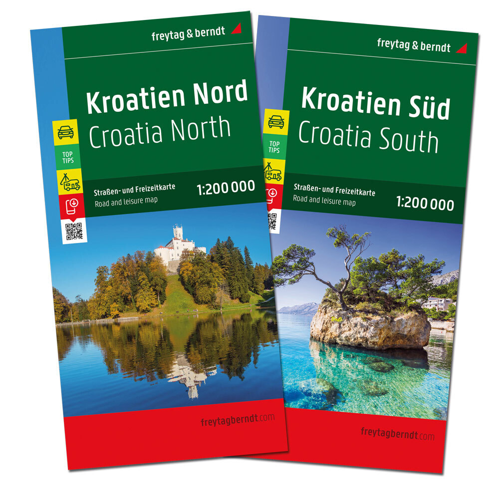
- Wegenkaart - landkaart Kroatië Noord - Croatia North - Kroatien Nord | Freytag & Berndt
- Kroatien Nord 1 : 200 000. Autokarte ab 10.9 EURO Kroatien Nord, Istrien - Zagreb - Slawonien Freytag & Berndt Autokarte. Neuauflage, Laufzeit bis 2019 Read more