Provence
Beschrijving

The south of France, along the Mediterranean coast, is a popular destination. Many trails cross this varied region.
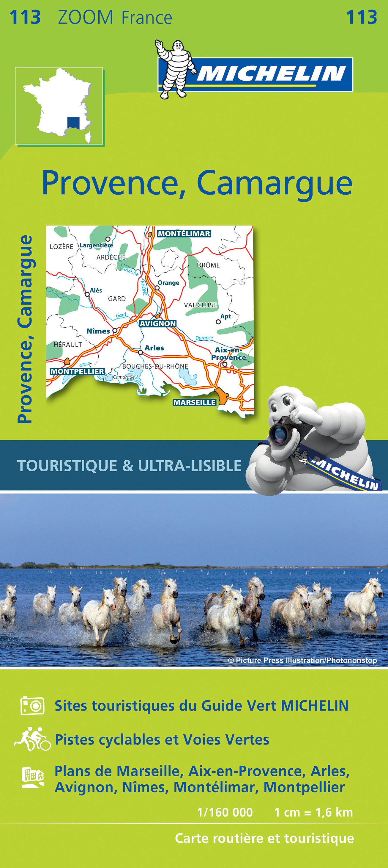
Kaart

Paden in deze regio
- E7GPX
- GR4GPX
- GR42GPX
- GR49GPX
- GR51 - Balcons de la MéditerranéeGPX
- GR510 - Sentier des huit valléesGPX
- GR52 - Vallée des MerveillesGPX
- GR6GPX
- GR63GPX
- GR653 - Via TolosanaGPX
- GR653A - Via AureliaGPX
- GR653D - Voie d’ArlesGPX
- GR9GPX
- GR90GPX
- GR91 - Traversée du VercorsGPX
- GR92GPX
- GR97 - Tour du LuberonGPX
- GR98 - Les CalanquesGPX
- GR99 - Gorges du VerdonGPX
- GR99AGPX
Links
Feiten
Verslagen
Gidsen en kaarten
Overnachting
Organisaties
Reisorganisaties
GPS
Anders
Boeken

De Zwerver
Netherlands
2014
Netherlands
2014
- Wandelgids 901 Tours et traversées dans l'Ain GR9, GR9A, GR59 | FFRP
- Guide FFRandonnée Tours et Traversée dans l'ain. GR 59, 9, 9A. Etangs de la Dombes, monts et cluses du Revermont ou bocages de la Bresse. Plus de 50 jours de randonnée.Depuis les Monts du Jura, du Revermont ou du Bugey, ces itinéraires en boucle ou en ligne offrent aux randonneurs des vues imprenables. voici à l'est le Mont Blanc et les... Read more
- Also available from:
- Stanfords, United Kingdom

Stanfords
United Kingdom
2014
United Kingdom
2014
- GR59/GR9/GRP: Tours et Traversées de l`Ain FFRP Topo-guide No. 901
- Tours et Traversées de l`Ain, FFRP topoguide, Ref. No. 901, covering in all 949km of hiking trails in the French Jura between Lons-le-Saunier and the confluence of the Ain and the Rhône, including sections of GR 5, 9 and 9A. Current edition of this title was published in June 2014.ABOUT THE FFRP (Fédération française de la randonnée pédestre)... Read more

De Zwerver
Netherlands
2017
Netherlands
2017
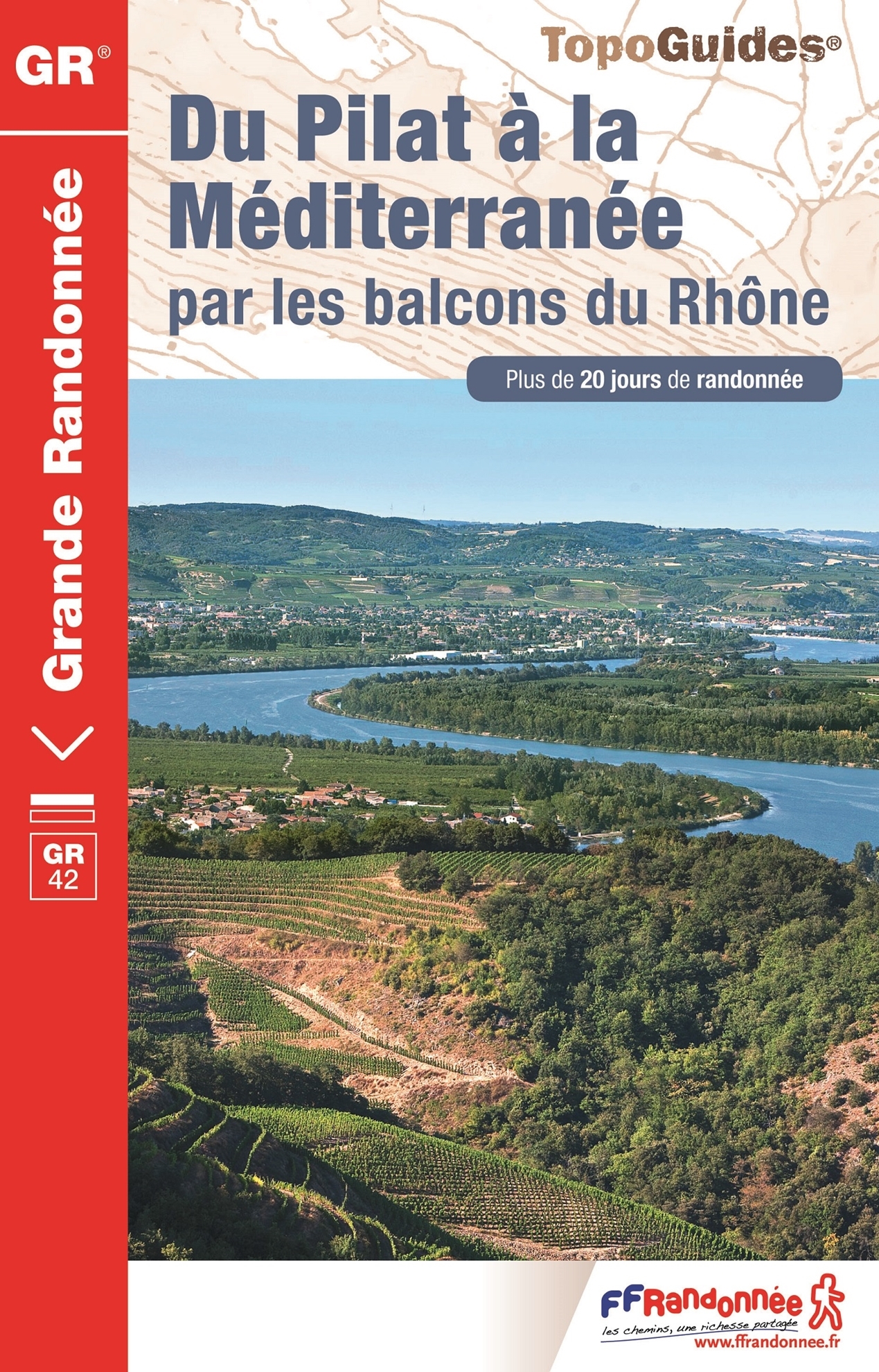
- Wandelgids 411 Du Pilat à la Méditerranée GR42 | FFRP
- Fout lopen wordt op deze manier wel erg moeilijk. Met symbolen is weergegeven welke voorzieningen (openbaar vervoer / winkels / overnachtingen) er zijn langs of bij de route. De gids bevat een lijst met overnachtingsadressen inclusief telefoonnummers, soms aangevuld met websites/mailadressen. Alle gidsen bevatten een door ons toegevoegde... Read more
- Also available from:
- Stanfords, United Kingdom
Stanfords
United Kingdom
2017
United Kingdom
2017
- Du Pilat à la Méditerranée par les balcons du Rhône - GR 42
- Going wrong this way becomes very difficult. Symbols indicate which facilities (public transport / shops / overnight stays) there are along or near the route. The guide contains a list of overnight addresses including telephone numbers, sometimes supplemented with websites / email addresses. All guides contain an extensive French.The route... Read more
De Zwerver
Netherlands
2022
Netherlands
2022
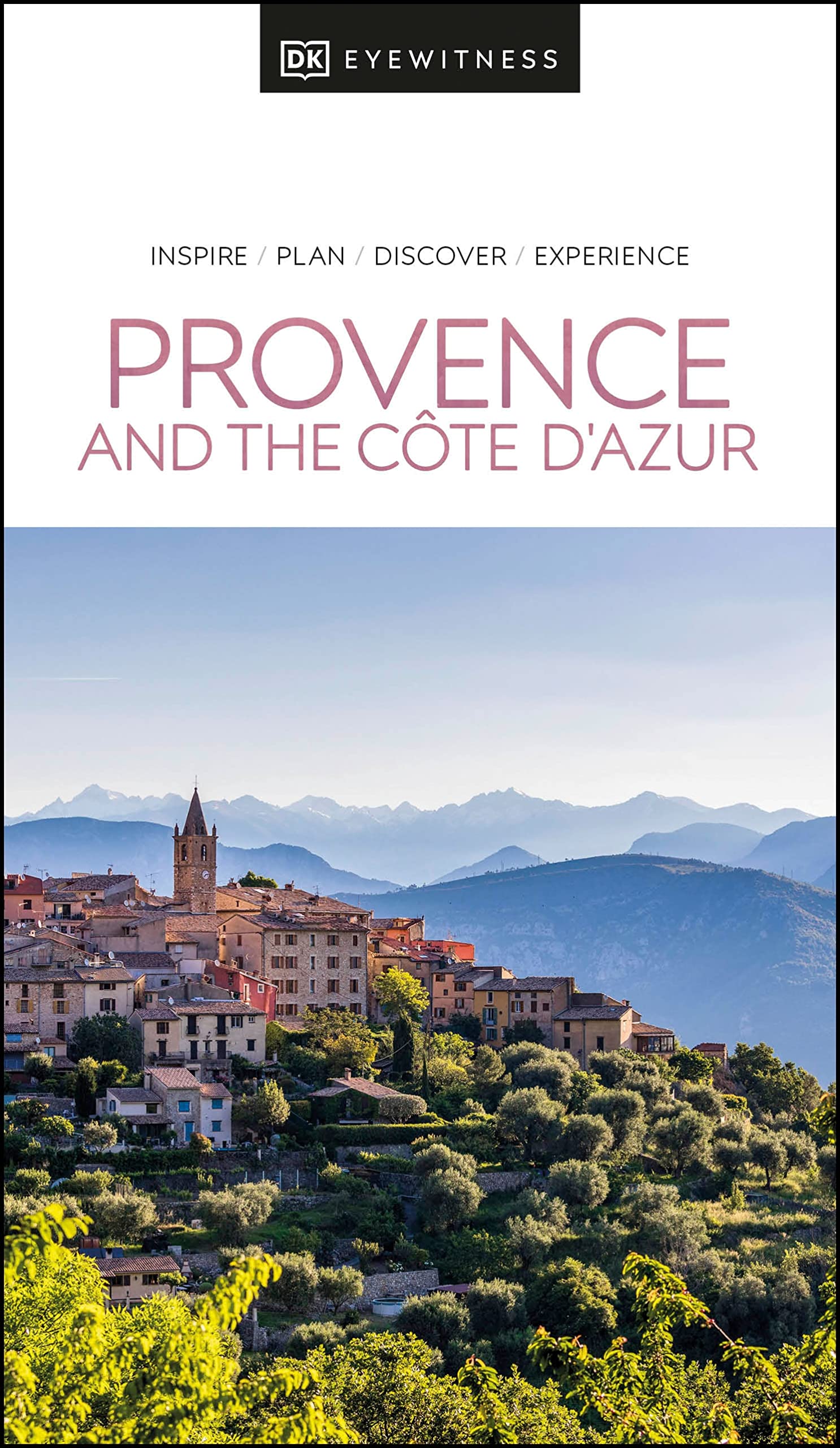
- Reisgids Eyewitness Travel Provence and the Cote d'Azur | Dorling Kindersley
- France`s most alluring region promises fragrant fields of lavender, incredible ancient relics and celebrated art collections.Whether you want to watch flocks of flamingos strutting across the wild wetlands of the Camargue, visit lush vineyards in the Rhone valley or simply soak up the sun in St-Tropez, your DK Eyewitness travel guide makes sure... Read more
- Also available from:
- Stanfords, United Kingdom

Stanfords
United Kingdom
2022
United Kingdom
2022
- DK Eyewitness Provence and the Cote d`Azur
- France`s most alluring region promises fragrant fields of lavender, incredible ancient relics and celebrated art collections.Whether you want to watch flocks of flamingos strutting across the wild wetlands of the Camargue, visit lush vineyards in the Rhone valley or simply soak up the sun in St-Tropez, your DK Eyewitness travel guide makes sure... Read more

De Zwerver
Netherlands
2021
Netherlands
2021
De Zwerver
Netherlands
2017
Netherlands
2017
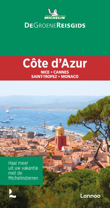
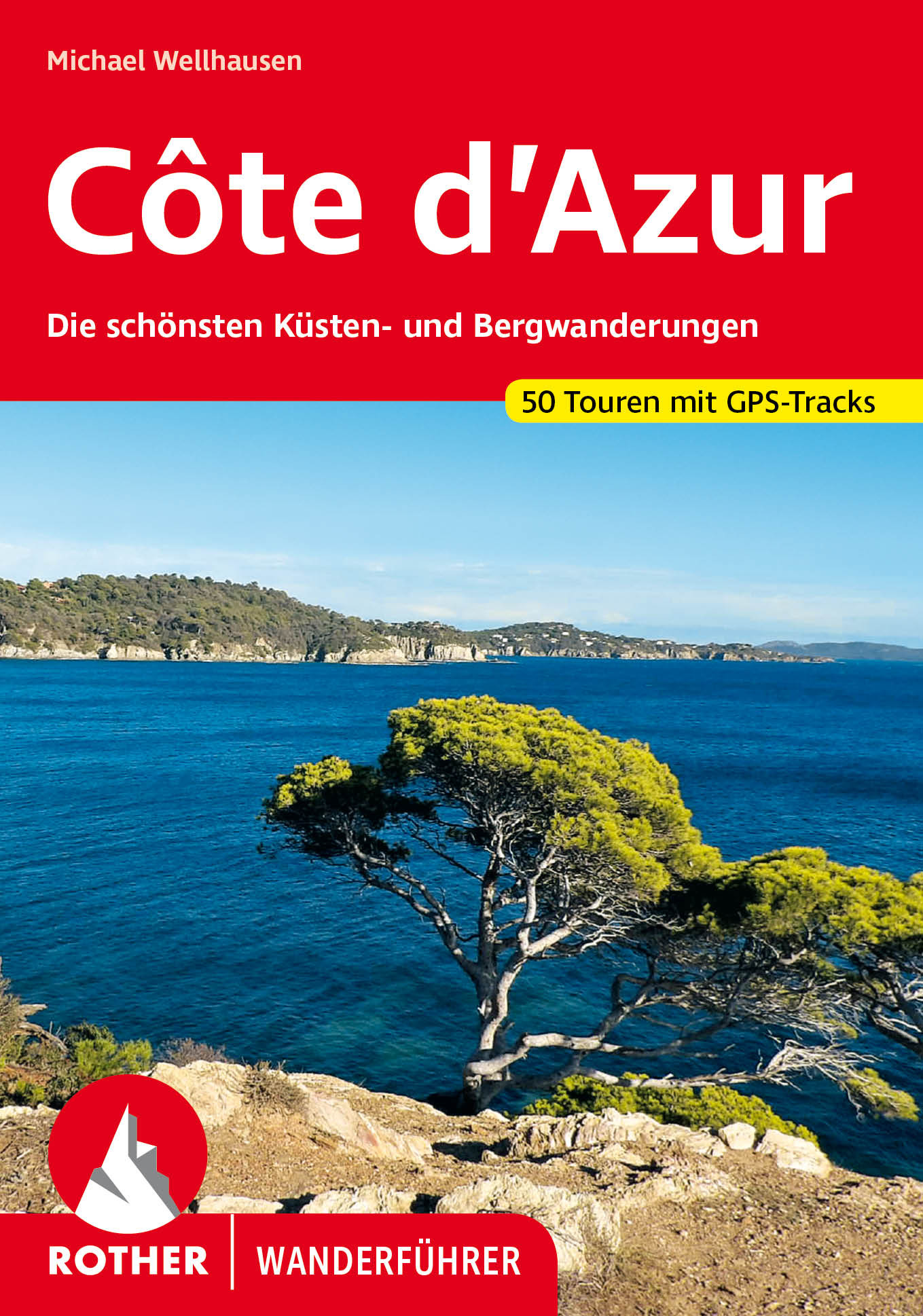
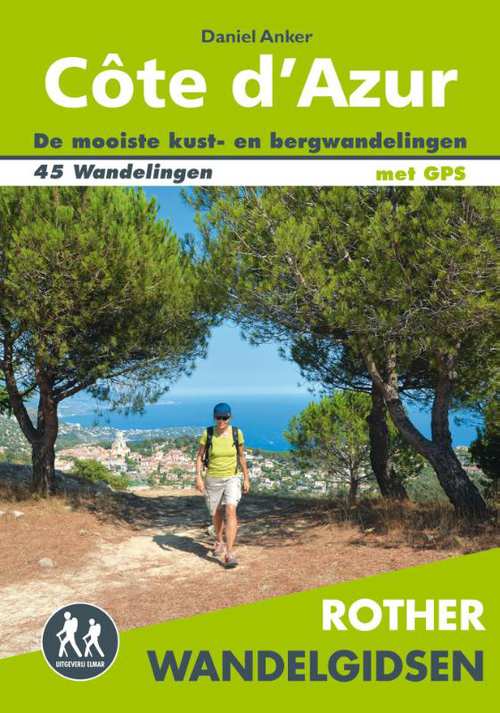
- Wandelgids Côte d'Azur | Uitgeverij Elmar
- de mooiste kust- en bergwandelingen Read more
De Zwerver
Netherlands
2017
Netherlands
2017
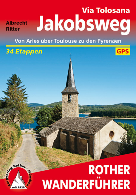
- Wandelgids Via Tolosana - Jakobsweg GR653 | Rother Bergverlag
- Duitstalige wandelgids met zeer goed beschreven wandelingen in de genoemde gebieden. Redelijk kaartmateriaal, vooral de beschrijving van de route en de praktische info die er bij hoort is meer dan goed. 256 Seiten mit 111 Farbabbildungen, 39 Höhenprofile; 48 Wanderkärtchen im Maßstab 1:100.000, eine Übersichtskarte Azurblauer Himmel, die Düfte... Read more
Kaarten
De Zwerver
Netherlands
Netherlands
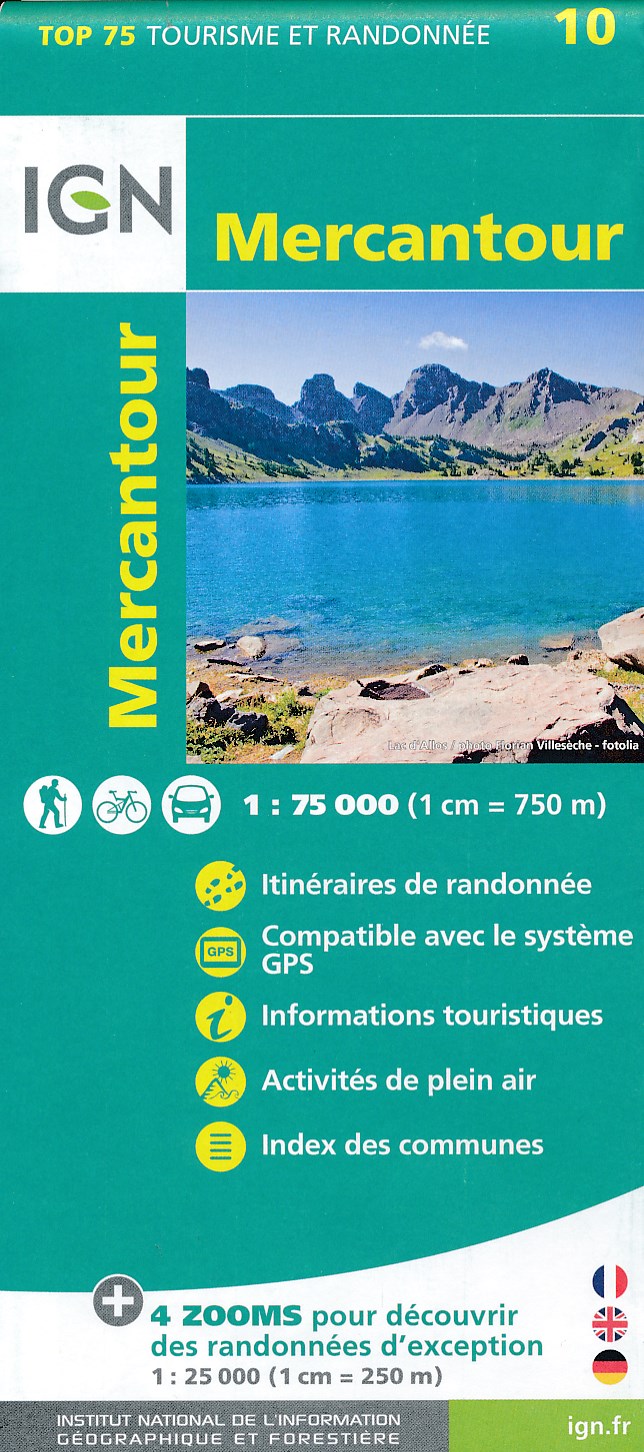
- Fietskaart - Wandelkaart 10 Mercantour | IGN - Institut Géographique National
- IGN TOP 75 Topographic map of the Mercantour at 1:75,000 scale. This detailed map covers the Mercantour National Park, from Barcelonette to Villars-sur-Var from north to south. Contour lines, detailed legend and indication of hiking trails. Index of cities. This map includes 5 zooms in scale 1:25 000 to discover exceptional excursions (Vallée... Read more
- Also available from:
- Stanfords, United Kingdom

Stanfords
United Kingdom
United Kingdom
- Mercantour IGN 75010
- IGN TOP 75 Topographic map of the Mercantour at 1:75,000 scale. This detailed map covers the Mercantour National Park, from Barcelonette to Villars-sur-Var from north to south. Contour lines, detailed legend and indication of hiking trails. Index of cities. This map includes 5 zooms in scale 1:25 000 to discover exceptional excursions (Vallée... Read more
De Zwerver
Netherlands
2013
Netherlands
2013
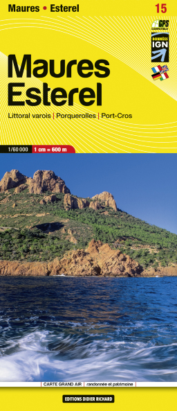
- Wandelkaart 15 Maures Esterel | Didier Richard
- Massif de Maures and the Esterel area of Provence and the French Riviera at 1:60,000 on a contoured and GPS compatible map from Didier Richard with a base derived from IGN Read more
- Also available from:
- Stanfords, United Kingdom

Stanfords
United Kingdom
2013
United Kingdom
2013
- Maures - Esterel Didier Richard 15
- Massif de Maures and the Esterel area of Provence and the French Riviera at 1:60,000 on a contoured and GPS compatible map from Didier Richard with a base derived from IGN’s topographic survey, highlighting both local hiking routes and the GR network of long-distance paths, gîtes d’etape, interesting natural and cultural sites, etc. The map... Read more
De Zwerver
Netherlands
Netherlands
- Also available from:
- Stanfords, United Kingdom

Stanfords
United Kingdom
United Kingdom
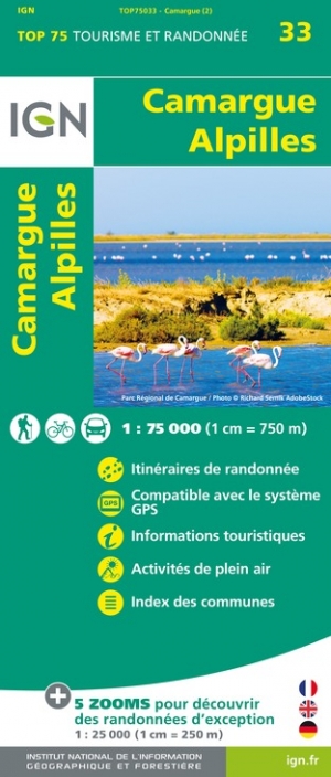
- Camargue - Alpilles IGN 75033
- TOP75 IGN maps (Tourism & Hiking) are ideal for discovering exceptional regions. Thanks to their ultra-precise mapping at a scale of 1:75,000, you can practice your favorite leisure activities: on foot by bike or by car. These maps include, in addition, 5 extracts of TOP25 at a scale of 1:25,000 for hiking in exceptional natural sites. Read more
De Zwerver
Netherlands
Netherlands
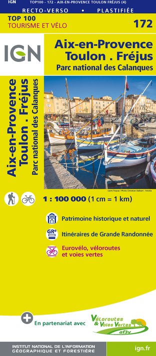
- Fietskaart - Wegenkaart - landkaart 172 Toulon - Aix en Provence - Frejus | IGN - Institut Géographique National
- Map No. 172, Toulon - Aix-en-Provence, at 1:100,000, part of the TOP100 series from the Institut Géographique National (IGN). These exceptionally detailed, contoured and GPS compatible road maps which include English language map legend are ideal for exploring the French countryside by car, by bike, or even on foot. Used by millions of locals... Read more
- Also available from:
- Stanfords, United Kingdom

Stanfords
United Kingdom
United Kingdom
- Aix-en-Provence - Toulon - Frejus - Calanques National Park IGN TOP100 172
- Discover the new double-sided laminated edition of TOP100 road maps of France from the Institut Géographique National (IGN); exceptionally detailed, contoured road maps which include the cycle paths and greenways of the AF3V (French Association for the Development of Cycle Paths and Greenways), ideal for exploring the French countryside by car,... Read more
De Zwerver
Netherlands
2021
Netherlands
2021
- Also available from:
- Stanfords, United Kingdom

Stanfords
United Kingdom
2021
United Kingdom
2021
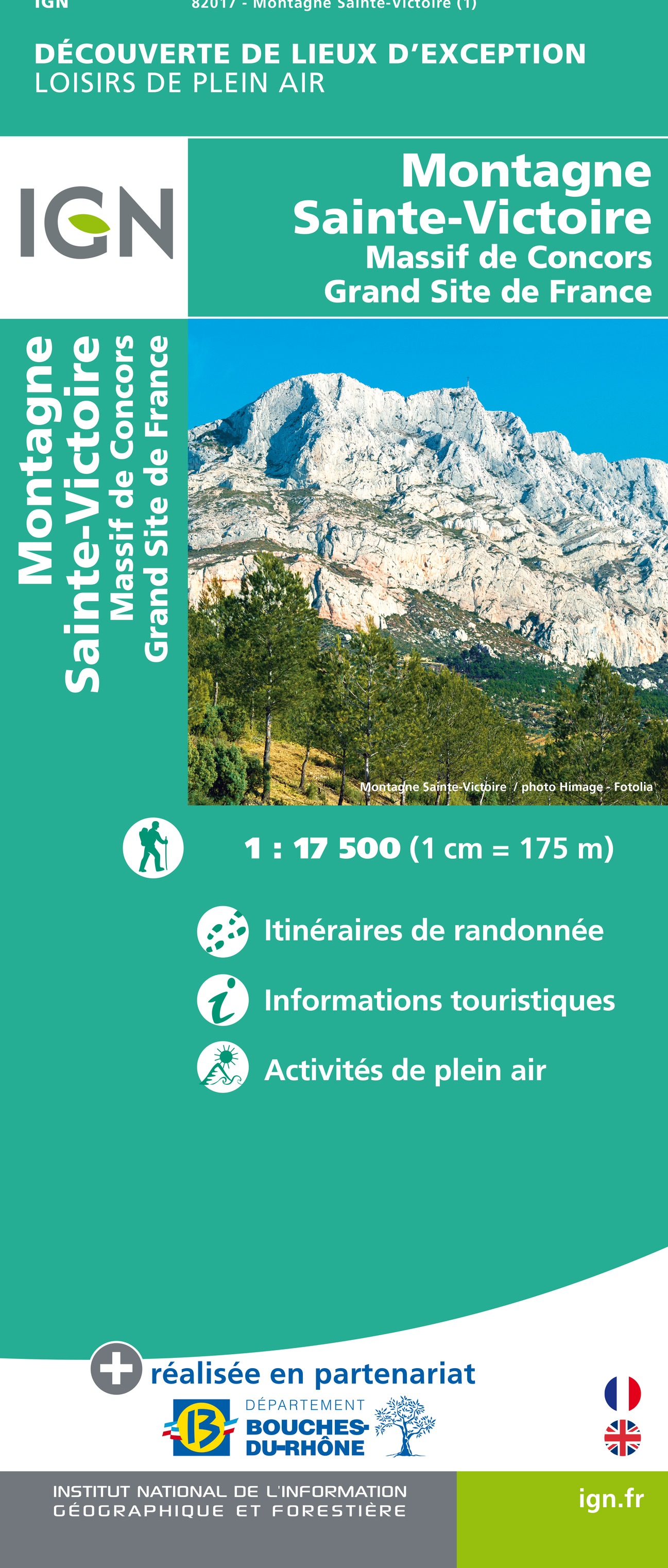
- Montagne-Saint-Victoire IGN 82017
- Montagne Sainte Victoire Thanks to its ultra precise scale at 1: 17,500 (1cm = 175 meters), discover the Massifs of Sainte-Victoire and Concors and practice your favorite activities in an exceptional place .A new IGN collection to discover exceptional places in France.The map is produced in partnership with the Bouches-du-Rhône department, the... Read more
De Zwerver
Netherlands
Netherlands
- Also available from:
- Stanfords, United Kingdom

Stanfords
United Kingdom
United Kingdom
De Zwerver
Netherlands
Netherlands
- Also available from:
- Stanfords, United Kingdom

Stanfords
United Kingdom
United Kingdom
- Carpentras - Dignes-les-Bains - Mont Ventoux - PNR du Verdon - PNR du Luberon IGN TOP100 164
- Discover the new double-sided laminated edition of TOP100 road maps of France from the Institut Géographique National (IGN); exceptionally detailed, contoured road maps which include the cycle paths and greenways of the AF3V (French Association for the Development of Cycle Paths and Greenways), ideal for exploring the French countryside by car,... Read more
De Zwerver
Netherlands
Netherlands
- Fietskaart - Wandelkaart 35 Ste Victoire - Ste Baume - Calanques - Provence | IGN - Institut Géographique National
- Ste-Victoire - Ste-Baume - Calanques area of Provence in a series of GPS compatible, contoured TOP 75 maps at 1:75,000 from the IGN, highlighting local and long-distance hiking paths, cycling routes and sites for other recreational activities. The map includes five large panels with IGN Read more
- Also available from:
- Stanfords, United Kingdom

Stanfords
United Kingdom
United Kingdom
- Provence - Ste-Victoire - Ste-Baume - Calanques IGN 75035
- Ste-Victoire - Ste-Baume - Calanques area of Provence in a series of GPS compatible, contoured TOP 75 maps at 1:75,000 from the IGN, highlighting local and long-distance hiking paths, cycling routes and sites for other recreational activities. The map includes five large panels with IGN’s topographic mapping at 1:25,000 and extensive overprint... Read more

De Zwerver
Netherlands
Netherlands
- Wandelkaart 08 Alpi marittime e Liguri | IGC - Istituto Geografico Centrale
- A cross-border area of the Maritime and Ligurian Alps at 1:50,000, with coverage on the Italian side including Limone, Alpi Maritime PN and Alta Valle Pesio e Tanaro PN, plus in France Tende, Vallée des Merveilles and Saorge, in a series contoured hiking maps with local trails, long-distance footpaths, mountain accommodation, etc. from the... Read more
- Also available from:
- Stanfords, United Kingdom

Stanfords
United Kingdom
United Kingdom
- Maritime and Ligurian Alps IGC 8
- A cross-border area of the Maritime and Ligurian Alps at 1:50,000, with coverage on the Italian side including Limone, Alpi Maritime PN and Alta Valle Pesio e Tanaro PN, plus in France Tende, Vallée des Merveilles and Saorge, in a series contoured hiking maps with local trails, long-distance footpaths, mountain accommodation, etc. from the... Read more
Meer kaarten…