
Griekenland
Beschrijving

Greece is a famous beach destination, and many island hoppers like to go for a walk now and again. Most islands are quite suitable for hiking, and locally guides and maps are available giving good descriptions of trails. But the crowded summer season is hot and dry. April is a much better month for hiking, with all flowers in full bloom, and also May, although it will start to get busier. June is more quiet but very hot. The busy season then lasts until winter. Although common in the past, your chances of actually following in the footsteps of mules carrying their loads in the traditional manner are dim.
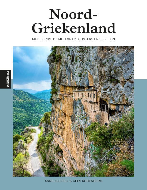
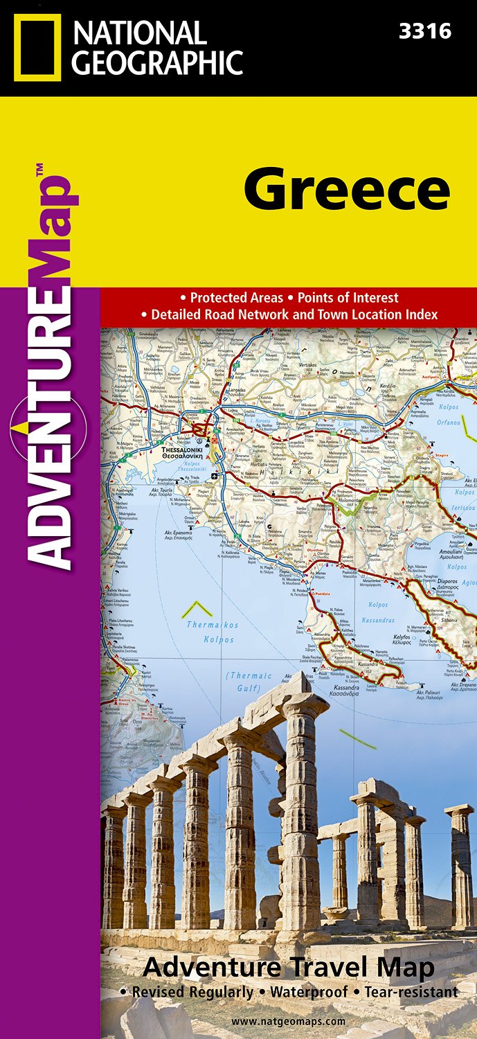
But there is more. If you've had enough of the island's oregano, you can head for the mainland Pindos Mountains in the province of Epirus, on the border with Albania. European long distance trail E6, running from west to east, leads right across the Pindos. In the wide expanse of forests and pastures you may cross tracks with a bear (see the picture of a bear track which caused the author to freeze with fear), or if not, then at least with one or two herdsmen smelling of the inevitable ewe's cheese. Smolikos is the highest peak, reaching up to 2637m. Walking season in the mountains is from May, when the mountain tops are still covered in snow, until mid October. Greek mountain ranges have been made increasingly accessible over the years thanks to over 100 mountain huts.
Make an effort, and find out Greece has almost twenty national trails, maintained by regional mountaineering clubs. European long distance trail E4 enters Northern Greece from Bulgaria, and runs south via Mount Olympus (2918m), highest mountain of Greece and pleasant abode of Zeus. If you plan to spend the night there yourself in July or August, make sure to reserve in advance. The trail then leads across the Peleponessos, leaving it in the south, and continues on the island of Crete. Crete of course is famous for its Samaria gorge, the longest in Europe. It is impossible to lose your way here, simply join the crowd.
The Internet is not yet a very good source of information on Greek hiking, but maps and guides are easy to find. More information can be obtained through the Hellenic Federation of Mountaineering and Climbing.
Paden
Regios
- Agatohonissi, Dodecanese
- Amorgos, Cyclades
- Anafi, Cyclades
- Andros, Cyclades
- Antiparos, Cyclades
- Arki, Dodecanese
- Astipalea, Dodecanese
- Corfu
- Crete
- Cyclades Islands
- Dodecanese Islands
- Donoussa, Cyclades
- Folegandros, Cyclades
- Fourni, Dodecanese
- Greek Islands
- Ikaria, Dodecanese
- Ionian Islands
- Ios, Cyclades
- Iraklia, Cyclades
- Kalymnos, Dodecanese
- Karpathos
- Kea, Cyclades
- Kefalonia
- Kimolos, Cyclades
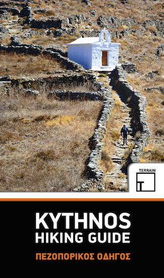
- Kithnos, Cyclades
- Kos
- Koufonisi, Cyclades
- Leros, Dodecanese
- Lesbos
- Lipsi, Dodecanese
- Milos, Cyclades
- Naxos, Cyclades
- Paros, Cyclades
- Patmos, Dodecanese
- Paxos
- Peleponnese
- Peloponnesos
- Pindos Mountains
- Rhodos
- Samos, Dodecanese
- Santorini, Cyclades
- Schinoussa, Cyclades
- Serifos, Cyclades
- Sifnos, Cyclades
- Sikinos, Cyclades
- Syros, Cyclades
- Telendos, Dodecanese
- Thirassia, Cyclades
- Tinos, Cyclades
- Zakynthos


 - by K.")


Links
Feiten
Verslagen
Gidsen en kaarten
Overnachting
Organisaties
Reisorganisaties
GPS
Anders
Boeken
Netherlands
2018
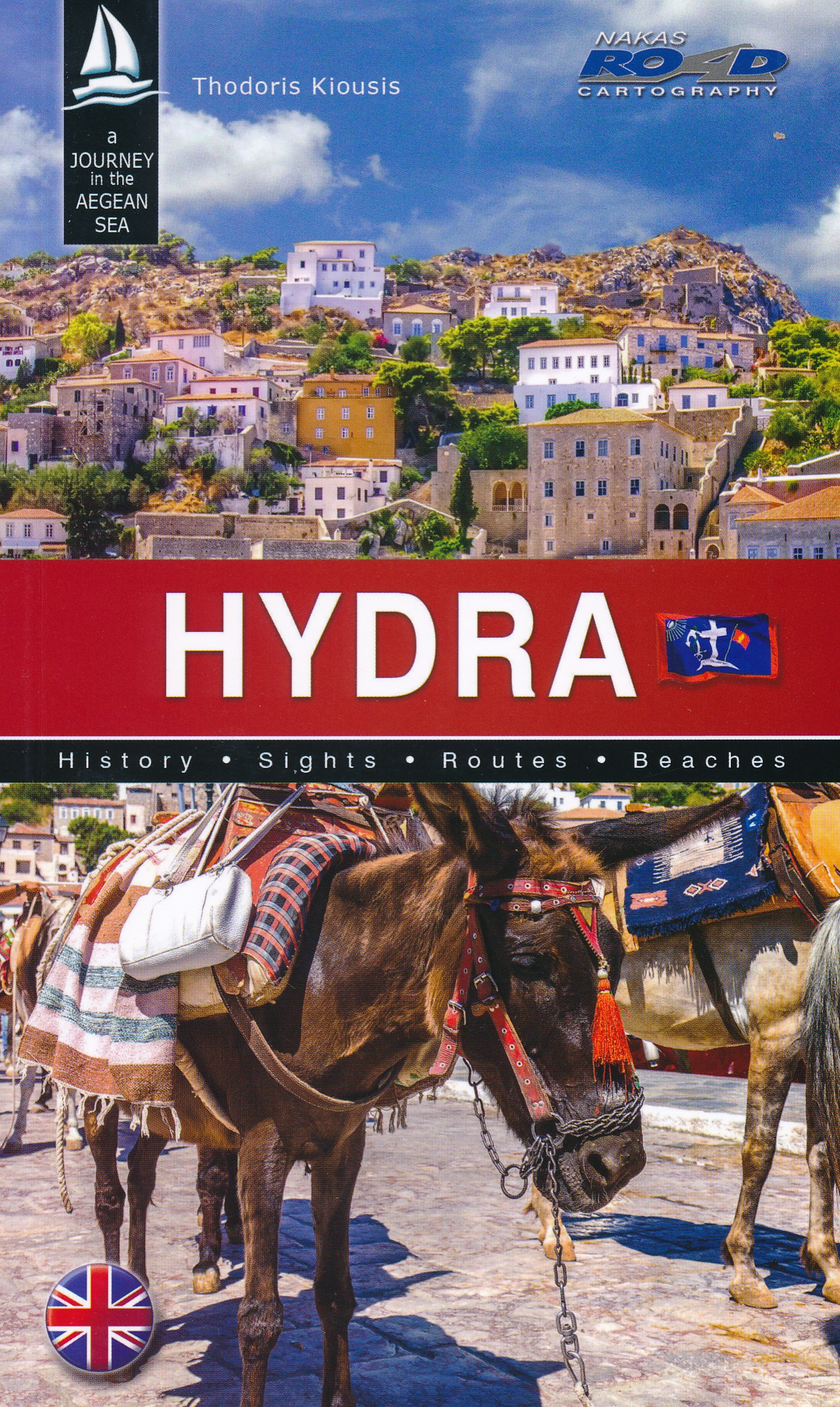
- Reisgids Hydra | Road Editions
- Algemene reisgids van het eiland Hydra met veel foto's. Achterin informatie voor bijvooibeeld wandelen, stranden of accommodatie. De culturele aspecten van het eiland komen uitgebreid aan bod. Read more
Netherlands
2014
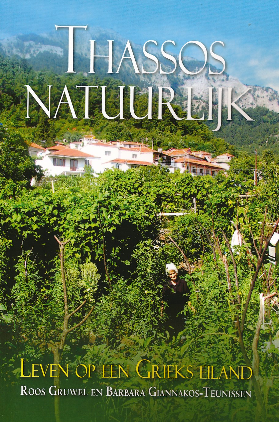
- Reisgids Thassos natuurlijk | Boekscout.nl
- Twee Nederlandse vrouwen geven een gedetailleerd beeld van het leven op Thassos, het bosrijke, bergachtige Griekse eiland. Ze geven inzicht in het leven van de Thassiten, die van hun voorouders geleerd hebben in harmonie met de natuur te leven en alles te gebruiken wat deze hen biedt. Een beschrijving van flora en fauna, van olijventeelt,... Read more
Netherlands
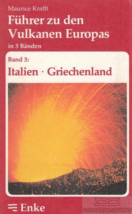
- Natuurgids Führer zu den Vulkanen Europas - band 3: Italien & Griechenland | Enke
- Dit boekje is bedoeld voor alle geïnteresseerden in geologie - van amateurgeologen tot geschoolden, ieder vindt in deze handige gids alle informatie die nodig is ter voorbereiding op excursies naar de belangrijkste vulkaangebieden in Europa. Read more
Netherlands
2015
- Wandelgids Kythnos hiking guide | Terrain maps
- Kythnos Hiking Guide by Terrain Editions, includes eleven walks into history, nature and the most interesting sights of Kythnos, one of the beautiful Cyclades islands in the Aegean sea. Explore Kythnos on foot, a small island boasting ninety sheltered bays, sixty exceptional sandy beaches, famous hot springs and a spa centre by the sea, nine... Read more
- Also available from:
- Stanfords, United Kingdom

United Kingdom
2015
- Kythnos Hiking Guide
- Kythnos Hiking Guide by Terrain Editions, includes eleven walks into history, nature and the most interesting sights of Kythnos, one of the beautiful Cyclades islands in the Aegean sea. Explore Kythnos on foot, a small island boasting ninety sheltered bays, sixty exceptional sandy beaches, famous hot springs and a spa centre by the sea, nine... Read more
Netherlands
2018
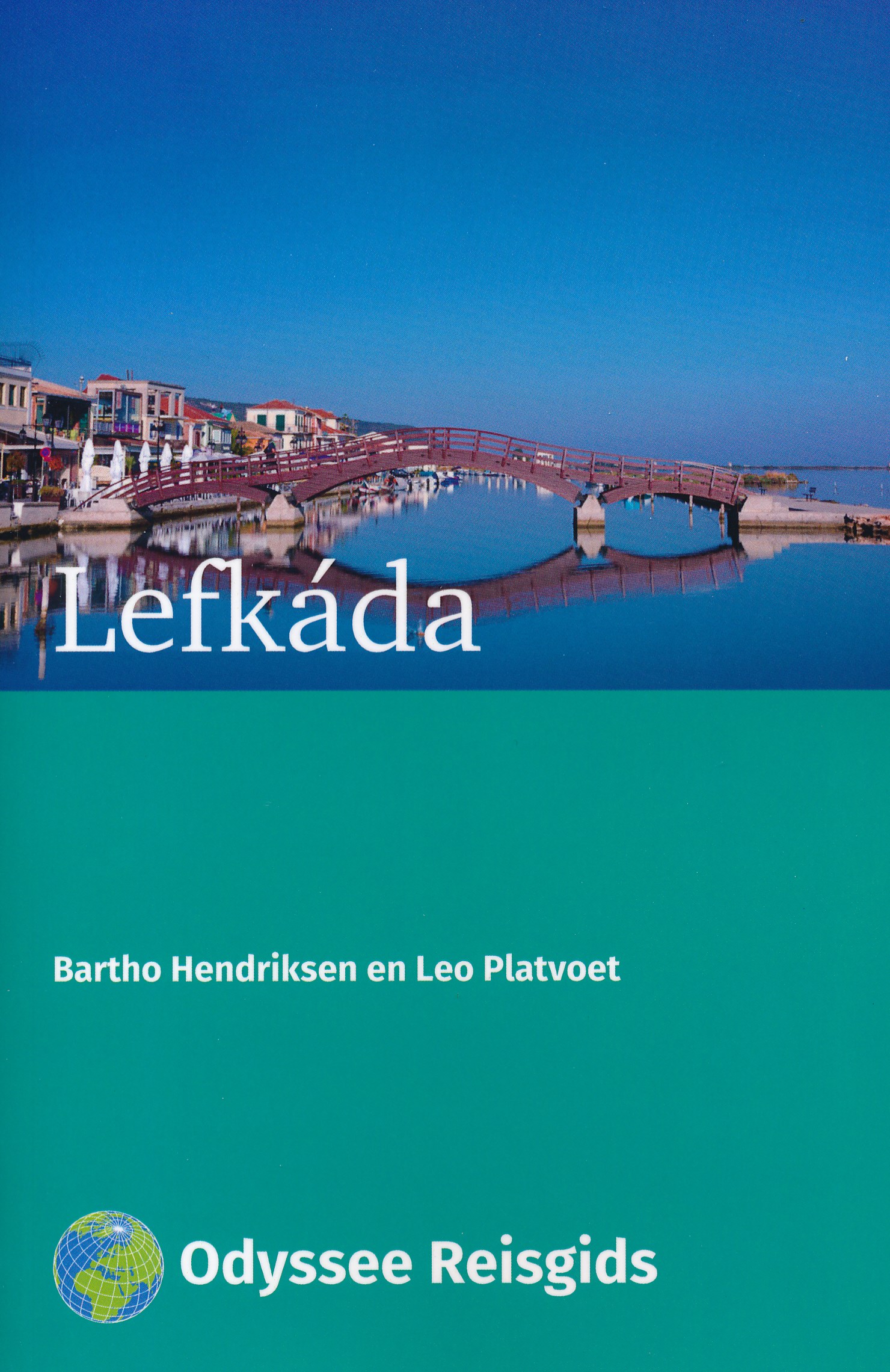
- Reisgids Lefkáda - Lefkas | Odyssee Reisgidsen
- Kleine reisgids in A5 formaat. Vrij dun, maar wel volgestopt met nuttige informatie. Lefkáda; ook wel Lefkas genoemd, is in grootte het vierde Ionische eiland. Hoewel je een vraagteken kunt zetten achter de benaming `eiland'; want Lefkáda is met een dam verbonden met het vasteland. Zo'n driekwart deel van Lefkáda is bedekt met bergen, waarvan... Read more
Netherlands
2019
Netherlands
2016
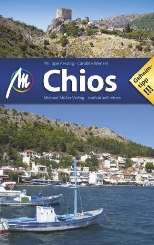
- Reisgids Chios | Michael Müller Verlag
- Uitstekende, diepgaande reisgids over dit deel van het land. Met veel achtergrondinformatie en ook praktische zaken als overnachtingen en eet- en drinkgelegenheden. Thematische hoofdstukken over geschiedenis, geologie etc. Let op: Duits! Ganz Griechenland auf einer Insel: Hochgebirge und Waldgebiete im Norden, fruchtbare Ebenen und unberührte... Read more
Kaarten

Netherlands
2016
- Wandelgids The Cretan Way E4 | Anavasi
- The Cretan Way is a 500km walking route which takes you from east to west across the varied and spectacular landscapes of Crete. It is the ideal way to discover the rural, mountainous and costal regions of this incredible island. This guide is based on a 28-day walk.This guide includes practical information, maps at a scale of 1:25.000 of... Read more
- Also available from:
- Stanfords, United Kingdom

United Kingdom
2016
- The Cretan Way - A 28 Day Walk
- The Cretan Way is a 500km walking route which takes you from east to west across the varied and spectacular landscapes of Crete. It is the ideal way to discover the rural, mountainous and costal regions of this incredible island. This guide is based on a 28-day walk.This guide includes practical information, maps at a scale of 1:25.000 of... Read more
Netherlands
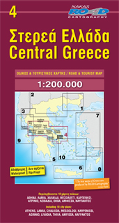
- Wegenkaart - landkaart 4 Centraal Griekenland - Central Greece | Road Editions
- Greece Central 1 : 200 000 ab 9.99 EURO new edition Read more
Netherlands
2010
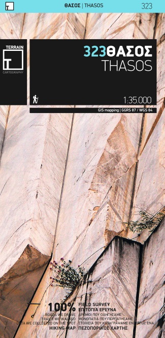
- Wandelkaart 323 Thasos - Thassos | Terrain maps
- Gedetailleerde wegenkaart en wandelkaart met alle kleine wegen, wandelpaden, hoogtelijnen en toeristische informatie aangegeven. Alle tekst is tweetalig in Engels en Grieks en de waterproof kaart is geschikt voor gebruik met GPS. This is a great map because: • It is the only existing GIS map of Thasos, and the only one made with data collected... Read more
Netherlands
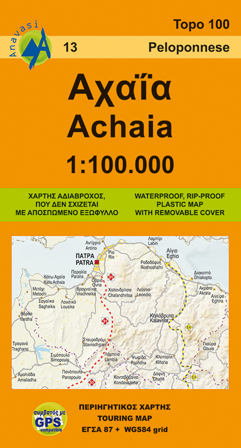
- Wegenkaart - landkaart 13 Achaia - deel Peloponnesos | Anavasi
- Achaia province with a plan of central Patras in a series from Anavasi covering selected popular areas of central mainland Greece and the Peloponnese with GPS compatible, detailed topographic road maps at 1:100,000, printed on waterproof and tear-resistant paper. The plan of central Patras is conveniently places on the detachable map... Read more
- Also available from:
- Stanfords, United Kingdom

United Kingdom
- Achaia Anavasi 13
- Achaia province with a plan of central Patras in a series from Anavasi covering selected popular areas of central mainland Greece and the Peloponnese with GPS compatible, detailed topographic road maps at 1:100,000, printed on waterproof and tear-resistant paper. The plan of central Patras is conveniently places on the detachable map... Read more
Netherlands
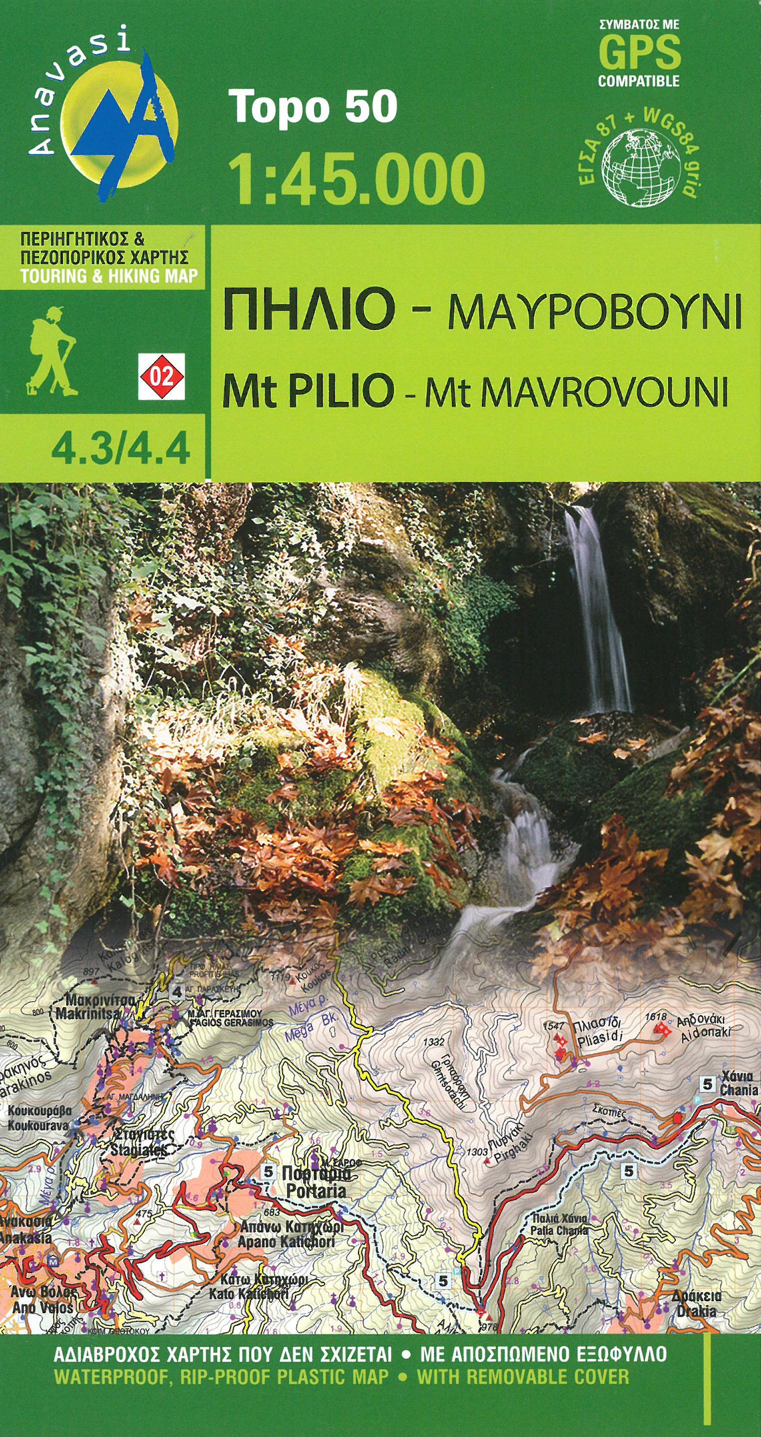
- Wandelkaart 4.3/4.4 Mt. Pilio - Mt. Mavrovouni | Anavasi
- Uitstekende topografische kaarten van een deel van Griekenland: zonder meer hele goede kaarten voor wandeltochten in een onbekend stuk Griekenland! Ze zijn gedrukt op scheurvast en watervast papier op een schaal van 1:45.000 met een UTM grid voor GPS gebruikers. Op de meeste kaarten is geven de hoogtelijnen een interval van 20m. aan. Met... Read more
Netherlands
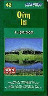
- Wandelkaart 43 Iti | Road Editions
- Mt Oiti/Iti at 1:50,000 in a series of contoured maps from Road Editions covering popular hiking areas of Greece. All the maps have altitude coloring and spot heights - contour interval varies, as indicated in the descriptions of individual titles. Local footpaths are marked and, for road users the maps show picturesque routes, intermediate... Read more
Netherlands
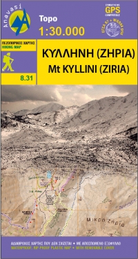
- Wandelkaart 8.31 Mt. Kyllini (Ziria) | Anavasi
- Ziria is de tweede hoogste berg van de Peloponnesos. Ondanks zijn hoogte heeft het een mild reliëf en vruchtbare gebieden. Grote plateaus en dalen kenmerkt dit berglandschap en onder hen liggen de twee grote bassins van Feneos en Stimfalia. De nieuwe Anavasi-kaart, in de schaal 1: 30.000, is dubbelzijdig en omvat het gebied rond de berg. Het... Read more
Netherlands
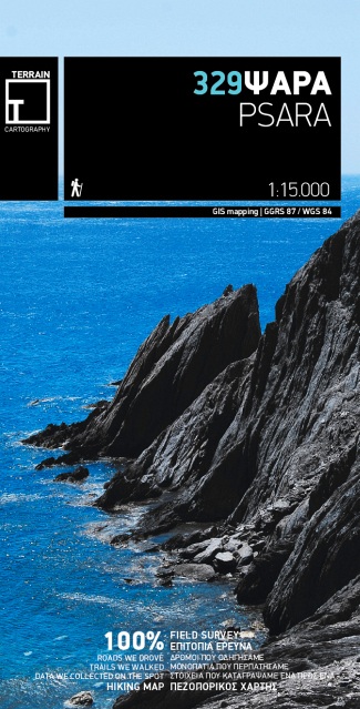
- Wandelkaart 329 Psara | Terrain maps
- Gedetailleerde wegenkaart en wandelkaart met alle kleine wegen, wandelpaden, hoogtelijnen en toeristische informatie aangegeven. Alle tekst is tweetalig in Engels en Grieks en de waterproof kaart is geschikt voor gebruik met GPS. This is a great map because: First and foremost, it is the only available map of Psara! So far, no other... Read more
Netherlands
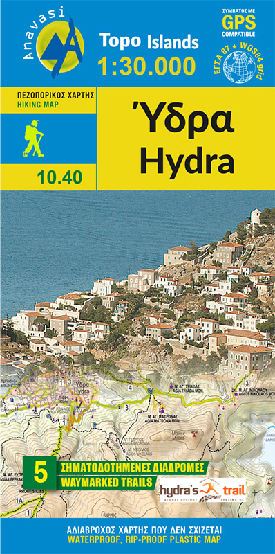
- Wandelkaart 10.40 Hydra | Anavasi
- Greek island of Hydra at 1:25,000 on a waterproof and tear-resistant, contoured and GPS compatible map from Anavasi, showing hiking trails annotated with useful tips.On one side is a map of Hydra with contours at 20m intervals and hill shading to show the topography. The map indicates dirt roads in poor condition and distinguishes between cart... Read more
- Also available from:
- Stanfords, United Kingdom

United Kingdom
- Hydra Anavasi 10.40
- Greek island of Hydra at 1:25,000 on a waterproof and tear-resistant, contoured and GPS compatible map from Anavasi, showing hiking trails annotated with useful tips.On one side is a map of Hydra with contours at 20m intervals and hill shading to show the topography. The map indicates dirt roads in poor condition and distinguishes between cart... Read more
Netherlands
2010
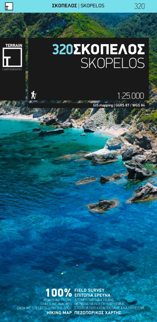
- Wandelkaart 320 Skopelos | Terrain maps
- Gedetailleerde wegenkaart en wandelkaart met alle kleine wegen, wandelpaden, hoogtelijnen en toeristische informatie aangegeven. Alle tekst is tweetalig in Engels en Grieks en de waterproof kaart is geschikt voor gebruik met GPS. De uitgever: THIS IS THE BEST MAP OF SKOPELOS, BECAUSE: • It is the only GIS map of Skopelos made with data... Read more
- Also available from:
- Stanfords, United Kingdom

United Kingdom
2010
- Skopelos Terrain Editions 320
- Skopelos at 1:25,000 on a contoured, GPS compatible map published by Terrain Editions, printed on light, waterproof and tear-resistant synthetic paper. Beaches indicate their surface and facilities. All place names are shown in both Greek and Latin alphabet. On the reverse are brief descriptions of seven hiking trails, plus general information... Read more
Netherlands
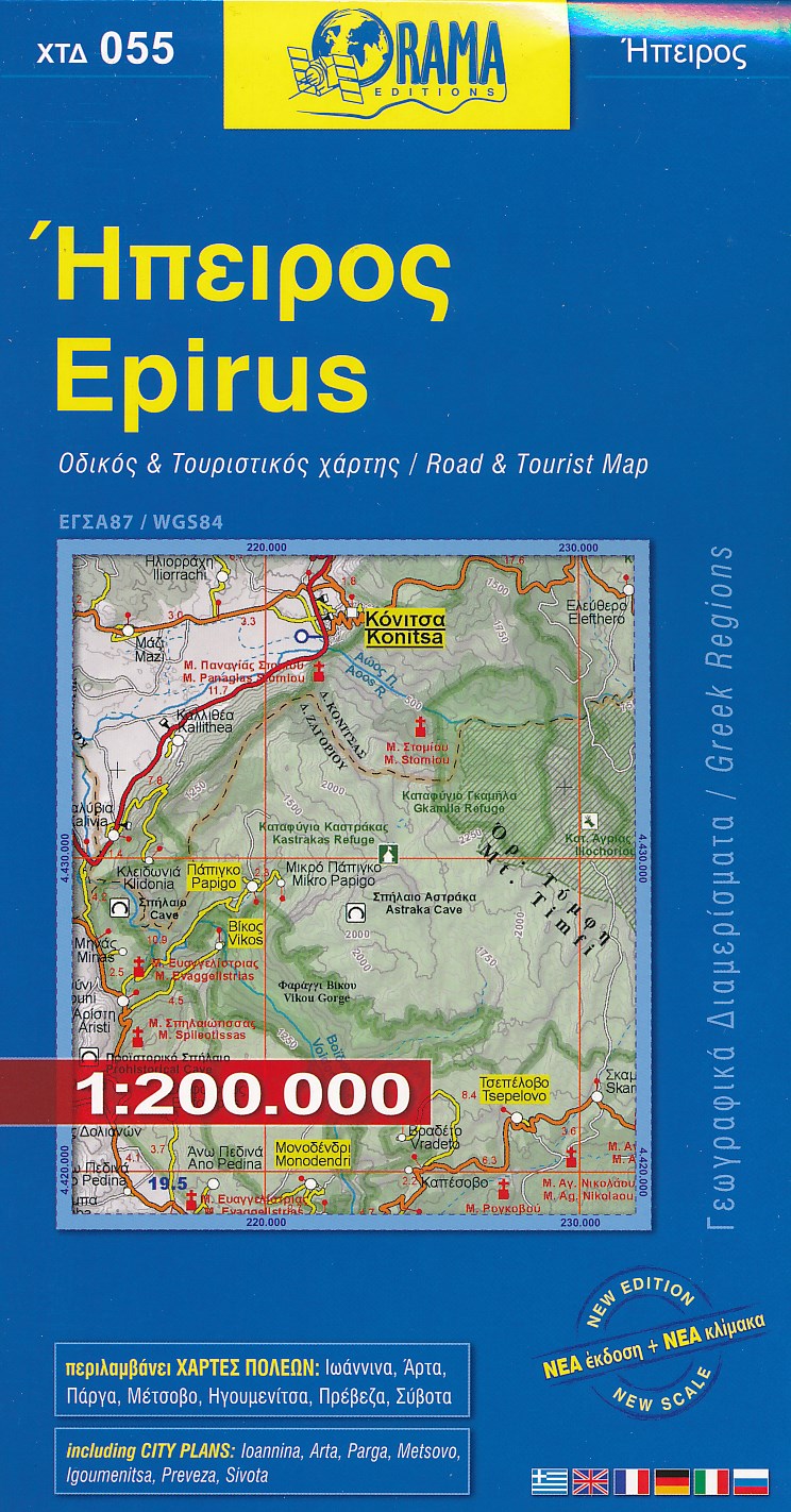
- Wegenkaart - landkaart 055 Epirus | Orama
- Epirus 1 : 200 000 ab 8.99 EURO 15th Edition Read more
Netherlands
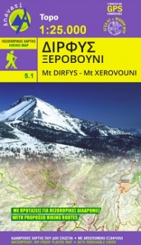
- Wandelkaart 5.11 Mt. Dirfis - Mt. Xerovouni | Anavasi
- Mt Dhirfis in a series of waterproof and tear-resistant hiking maps at scales varying from 1:50,000 to 1:10,000, with a UTM grid for GPS users. Contour interval varies depending on the scale, on most maps it is 20m. Relief shading, spot heights, springs, seasonal streams and, in most titles, landscape/land-use variations, e.g. forests,... Read more
- Also available from:
- Stanfords, United Kingdom

United Kingdom
- Mt Dhirfis - Mt Xerovouni Anavasi 5.11
- Mt Dhirfis in a series of waterproof and tear-resistant hiking maps at scales varying from 1:50,000 to 1:10,000, with a UTM grid for GPS users. Contour interval varies depending on the scale, on most maps it is 20m. Relief shading, spot heights, springs, seasonal streams and, in most titles, landscape/land-use variations, e.g. forests,... Read more
Netherlands
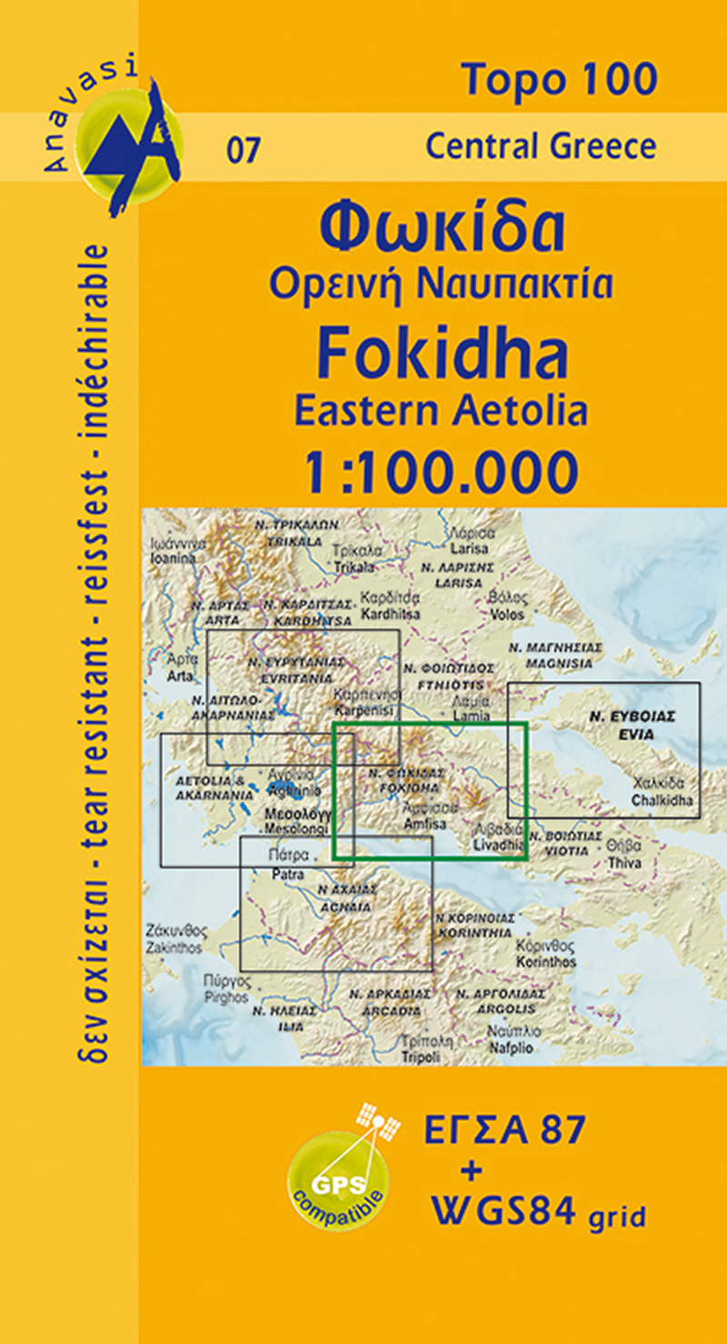
- Wegenkaart - landkaart 07 Fokis - Upland Nafpaktia | Anavasi
- Fokidha in a series from Anavasi covering selected popular areas of central mainland Greece and the Peloponnese with GPS compatible, detailed topographic road maps at 1:100,000, printed on waterproof and tear-resistant paper. Contours at 100m intervals (or 50m where indicated in the individual descriptions), relief shading and spot heights... Read more
- Also available from:
- Stanfords, United Kingdom

United Kingdom
- Fokidha Anavasi 07
- Fokidha in a series from Anavasi covering selected popular areas of central mainland Greece and the Peloponnese with GPS compatible, detailed topographic road maps at 1:100,000, printed on waterproof and tear-resistant paper. Contours at 100m intervals (or 50m where indicated in the individual descriptions), relief shading and spot heights... Read more