
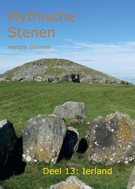
Ierland
Beschrijving

With its green hills, wet bogs, wild open countryside and dramatic cliffs along the Atlantic coast, Ireland sits at the most westerly edge of Western Europe. Enjoy an abundance of sea birds, ancient churches and stone walls, and the occasional forest and beach. Trails will lead you along Irelands clear streams and wonderful valleys, passing castles and farms, and offer panoramic views of mountains and the Atlantic Ocean. No wonder hill walking is popular, but with Ireland being relatively sparsely populated it never gets busy.
There are over 30 National Waymarked Ways, adding up to about 3000km of walking trails all across Ireland. The Ways are clearly signposted with standard waymarkers: a yellow arrow and walking man. A wide choice of detailed maps and guidebooks exist for all trails. Famous are the Kerry Way (215km) around the southwestern Iveragh Peninsula, the Dingle Way (179km), also in the southwest, and the Wicklow Way (127km) south of Dublin in the east. The European long distance trail E8 runs right across Ireland, starting from Dursey Head on the west coast, to Dublin in the east, partly coinciding with the Kerry Way and Wicklow Way.
Walking in Ireland is possible all year round. Ireland has no "right of way" and expect to walk on (forest) roads in many places. Irish weather can change frequently and suddenly, so take care to bring a rainproof coat at all times. Stiles and bridges have been built where necessary. Nevertheless be prepared for very wet and boggy terrain at times. Accommodation comes in all forms, ranging from basic hostels to luxury hotels, as well as B&B's and guest houses. And of course there are the legendary Irish pubs for you to enjoy a pint of stout.
Paden
- Avondhu Way
- Ballyhoura WayGPX
- Barrow WayGPX
- Beara Breifne Way
- Beara WayGPX
- Blackwater WayGPX
- Bluestack WayGPX
- Burren WayGPX
- Cavan WayGPX
- Croagh Patrick Heritage TrailGPX
- Dingle WayGPX
- Dublin Mountains WayGPX
- Duhallow Way
- E8GPX
- East Clare WayGPX
- East Munster WayGPX
- Grand Canal WayGPX
- Great Western Greenway
- Hymany WayGPX
- Irish Coast to Coast Walk
- Kerry WayGPX
- Leitrim WayGPX
- Lough Derg WayGPX
- Lung Way
- Mid Clare WayGPX
- Miners Way and Historical TrailGPX
- Monaghan WayGPX
- Multeen WayGPX
- Nore Valley WayGPX
- North Cork Way
- North Kerry WayGPX
- Offaly WayGPX
- Ormond Way
- Royal Canal WayGPX
- Santiago de Compostela Pilgrims WayGPX
- Sheep's Head WayGPX
- Slí An EaragailGPX
- Slí Arainn MhórGPX
- Slí CholmcilleGPX
- Slí ChonamaraGPX
- Slí Dún na nGallGPX
- Slí Gaeltacht Mhúscrai
- Slí na FinneGPX
- Slí na RosannGPX
- Slieve Bloom WayGPX
- Slieve Felim WayGPX
- Sligo WayGPX
- South Leinster WayGPX
- Suck Valley WayGPX
- Táin WayGPX
- Tipperary Heritage WayGPX
- Ulster WayGPX
- Western WayGPX
- Westmeath WayGPX
- Wicklow WayGPX
Regios
Staten


Links
Feiten
Verslagen
Gidsen en kaarten
Overnachting
Organisaties
Reisorganisaties
GPS
Anders
Boeken
Netherlands
2008
Netherlands
2020
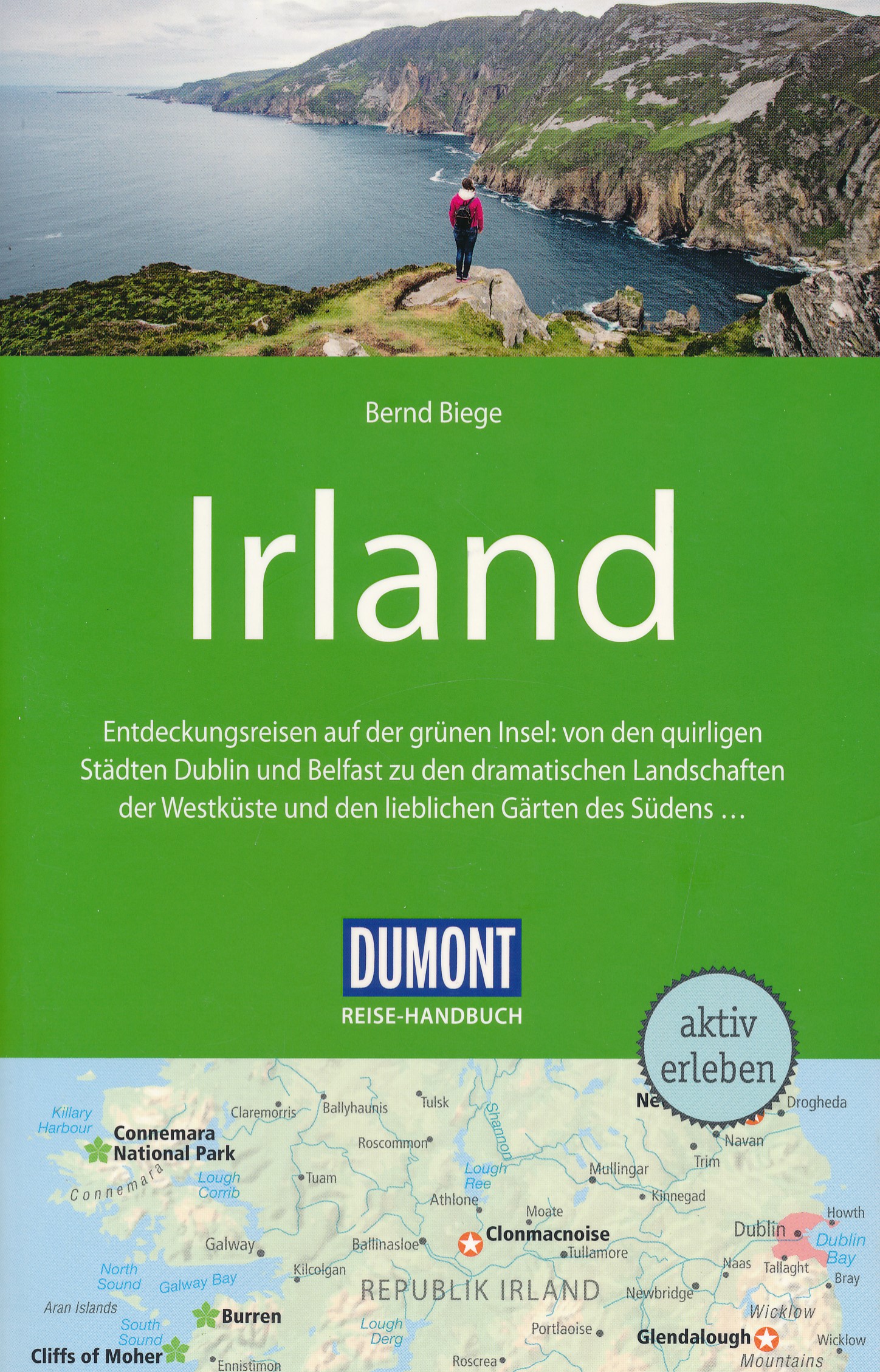
- Reisgids Reise-Handbuch Irland | Dumont
- Für die 5. Auflage des DuMont Reise-Handbuches war der Autor Bernd Biege intensiv vor Ort unterwegs. Es fehlen weder aktuelle Infos zu den möglichen Folgen des Brexit für Touristen noch die fantastische Bildersammlung des Russborough House, die zu den begehrtesten Diebesobjekten Irlands gehört. Ebenfalls enthalten: die kuriosen Saltee Islands,... Read more
Netherlands
2021
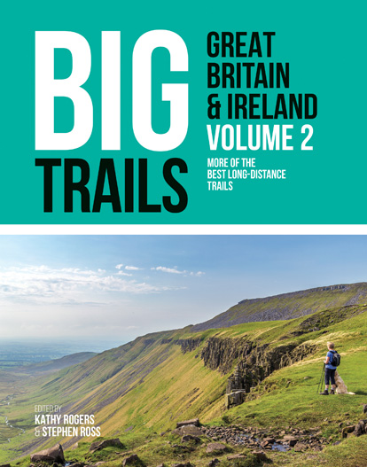
- Wandelgids Big Trails Great Britain & Ireland Volume 2 | Vertebrate Publishing
- More of the best long-distance trails Read more
Netherlands
2023

Netherlands
2007
- Reisverhaal Round Ireland with a Fridge | Tony Hawks
- Round Ireland with a Fridge ab 9.49 EURO Read more
Kaarten
Netherlands
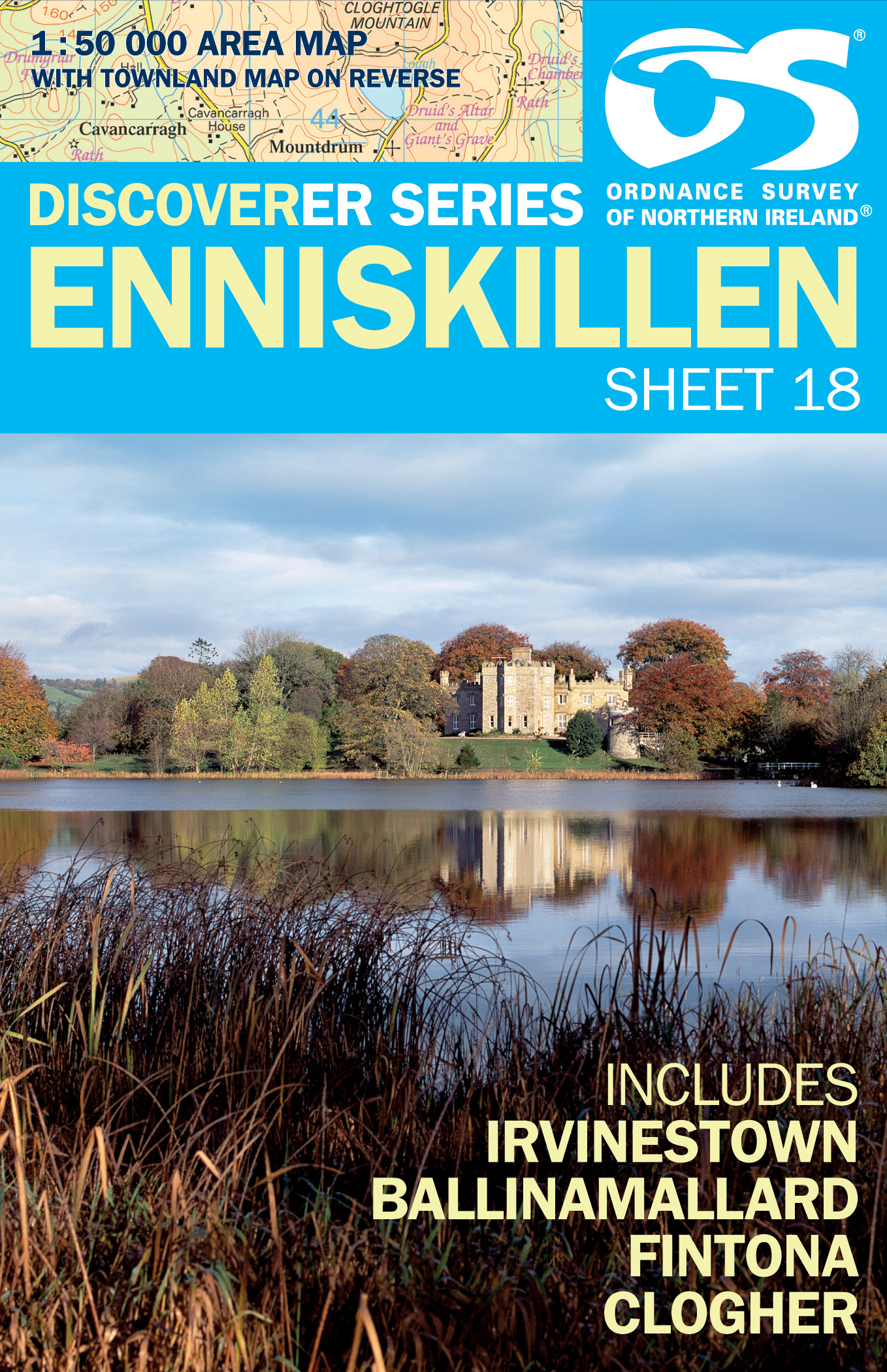
- Wandelkaart 18 Discoverer Enniskillen | Ordnance Survey Northern Ireland
- Enniskillen, map No. 18 in the Discoverer series from the Ordnance Survey of Northern Ireland presenting the country on detailed topographic maps at 1:50,000 with waymarked hiking trails, Sustrans National Cycle Network and other tourist information. Coverage includes Irvinestown, Ballinamallard, Fintona and Clogher. Current edtion E;... Read more
- Also available from:
- Stanfords, United Kingdom

United Kingdom
- Enniskillen OSNI Discovery 18
- Enniskillen, map No. 18 in the Discoverer series from the Ordnance Survey of Northern Ireland presenting the country on detailed topographic maps at 1:50,000 with waymarked hiking trails, Sustrans National Cycle Network and other tourist information. Coverage includes Irvinestown, Ballinamallard, Fintona and Clogher. Current edtion E;... Read more
Netherlands
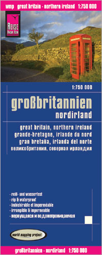
- Wegenkaart - landkaart Groot Brittannie en Noord Ierland | Reise Know-How Verlag
- Reise Know-How Landkarte Großbritannien 1 : 750 000 ab 8.9 EURO Reiß- und wasserfest Reise Know-How World Mapping Project. 1. Auflage 2013 Read more
Netherlands
2023
Netherlands
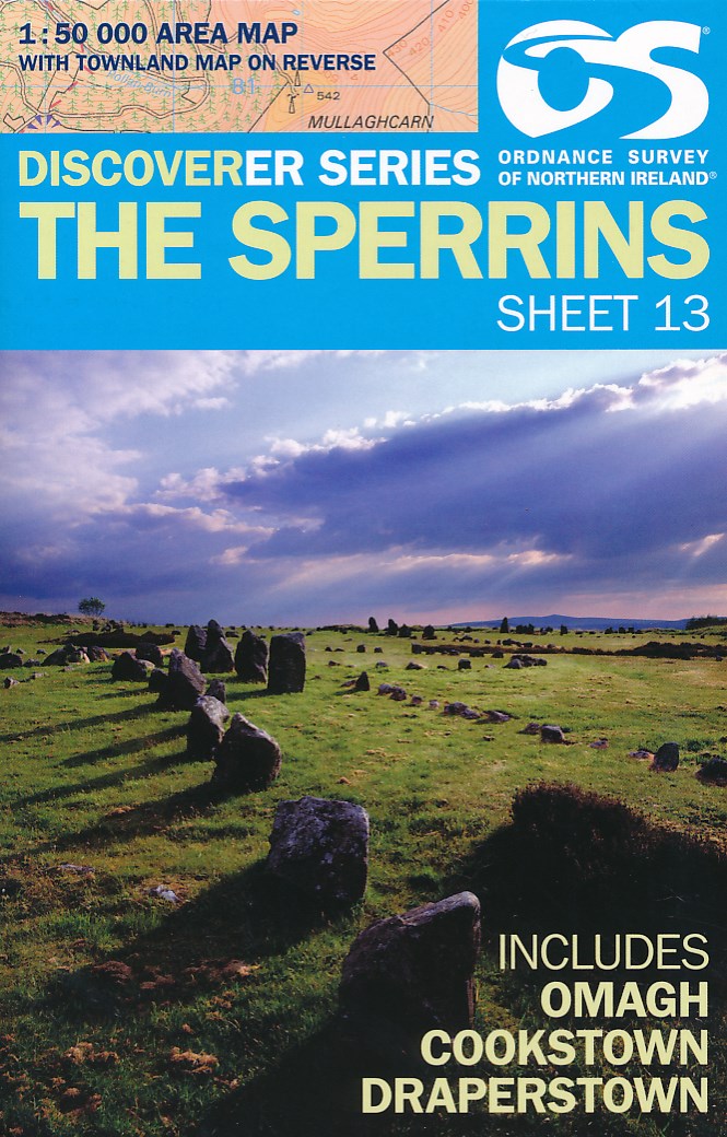
- Wandelkaart 13 Discoverer The Sperrins | Ordnance Survey Northern Ireland
- The Sperrins, map No. 13 in the Discoverer series from the Ordnance Survey of Northern Ireland presenting the country on detailed topographic maps at 1:50,000 with waymarked hiking trails, Sustrans National Cycle Network and other tourist information. Coverage includes Omagh, Cookstown and Draperstown. Current edition E; publication date... Read more
- Also available from:
- Stanfords, United Kingdom

United Kingdom
- The Sperrins OSNI Discovery 13
- The Sperrins, map No. 13 in the Discoverer series from the Ordnance Survey of Northern Ireland presenting the country on detailed topographic maps at 1:50,000 with waymarked hiking trails, Sustrans National Cycle Network and other tourist information. Coverage includes Omagh, Cookstown and Draperstown. Current edition E; publication date... Read more
Netherlands
2024
Netherlands
- Wegenkaart - landkaart Groot - Brittannië | Borch
- Grossbritannien / Great Britain 1 : 800 000 ab 9.9 EURO Scotland and Northern Ireland, England and Wales, Channel Crossings Borch Map. 13. Auflage Read more
Netherlands
2022
Netherlands
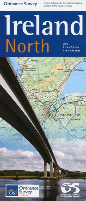
- Wegenkaart - landkaart Ireland North ( Ierland ) | Ordnance Survey Ireland
- Travel Map Ireland North 1 : 250 000 ab 11.5 EURO new edition Read more
Netherlands
2024