
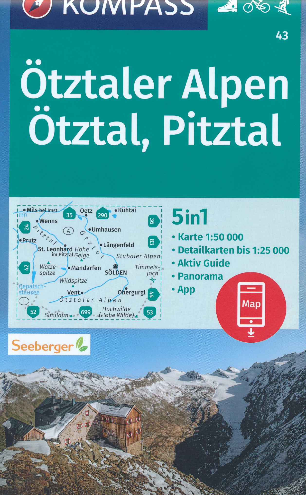
Ötztal
Beschrijving

The Ötztal Alps, together with the Hohe Tauern, is one of the best known mountain destinations in Austria. The reason is this: the Ötztal is a spectacular high alpine region. This vast area of snow, ice and rock counts many trails. Many of them can be done by the average mountain hiker. Even many of the glacier crossings are not too difficult, although they obviously require the correct use of rope, ice ax and crampons.
The area forms the border between Italy and Austria. The Italian side is called Val Venoste. The weather is often fair, because the area is on the southern side of the Alps.
The center of this mountain region is the Ötztal proper. The main towns here, the best places to start your expedition, are Sölden and Vent. The valley to the west is called the Pitztal. This is as good a starting point for longer or shorter hikes. Here, Mittelberg and Imst and the places to search for. Mountain huts abound.
Among the many high mountains, the highest is the Wildspitze, 3774 m, the second highest mountain in Austria.
In 1991 two hikers found a body of a man, half buried into the ice. This man, it turned out, died 5300 years ago. The body had miraculously been preserved over the millennia. A great find, from which we can learn a lot about the earliest inhabitants of the continent. Ötzi, the iceman, is now on display in Bolzano, in his own museum.
Kaart

Paden in deze regio
Links
Feiten
Verslagen
Gidsen en kaarten
Overnachting
Organisaties
Reisorganisaties
GPS
Anders
Boeken


Netherlands
2022

Netherlands
2011
- Wandelgids Tirol Oberinntal | Rother Bergverlag
- 50 Touren zwischen Innsbruck und Arlberg Rother Wanderbuch. 1. Auflage. Read more

Netherlands
2022
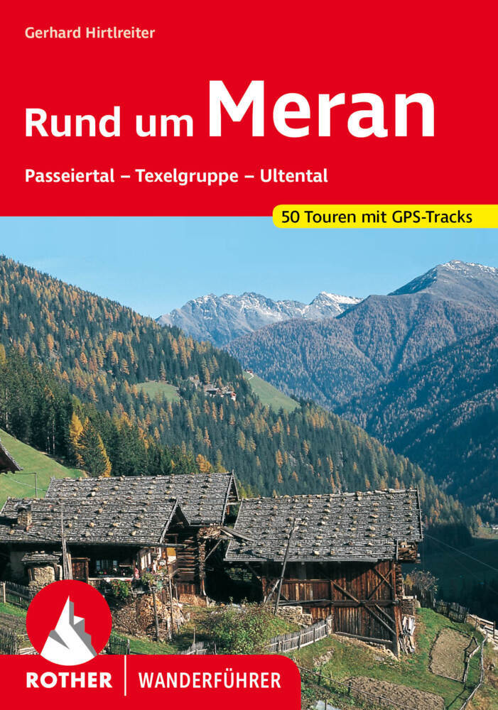
- Wandelgids 63 Rund um Meran - Merano | Rother Bergverlag
- Uitstekende wandelgids met 50 dagtochten in dal en hooggebergte. Met praktische informatie en beperkt kaartmateriaal! Wandelingen in verschillende zwaarte weergegeven in rood/blauw/zwart. Duits. Meran und Schloss Tirol waren der Mittelpunkt des alten Tirol. Heute bildet die Stadt Meran mit ihrer Umgebung ein beliebtes Ziel für Wanderer und... Read more

Netherlands
2022
- Wandelgids Munchen - Venetie, München - Venedig | Rother Bergverlag
- Beschrijving van een lange afstand pad dwars door de Alpen van Munchen naar Venetie: goede beschrijvingen van de etappes, kaarten redelijk. Die anspruchsvolle Alpenüberquerung von München nach Venedig verläuft auf einer der interessantesten aller möglichen Routen über das höchste Gebirge Europas. Im Herzen Münchens beginnt die Tour am... Read more

Netherlands
2022
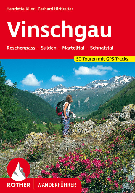
- Wandelgids 99 Vinschgau | Rother Bergverlag
- Uitstekende wandelgids met 50 dagtochten in dal en hooggebergte. Met praktische informatie en beperkt kaartmateriaal! Wandelingen in verschillende zwaarte weergegeven in rood/blauw/zwart. Duits. Der Vinschgau, der das Etschtal vom Reschenpass bis zur Talenge vor Töll bei Meran sowie das Schnalstal, das Martelltal und das Suldener Tal erfasst,... Read more
Netherlands
2011
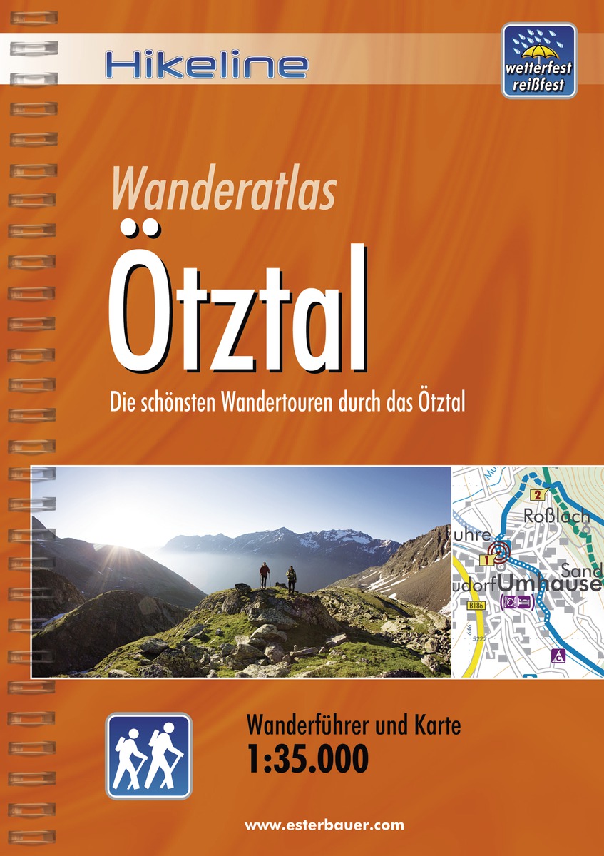
- Wandelgids Hikeline Ötztal | Esterbauer
- Goede handzame wandelgids met duidelijke kaarten en informatieve tekst. / Gedetailleerde wandelgidsen met ingetekende lange afstandsroute. Goede omschrijving van de route met tevens praktische informatie voor onderweg. Länge, Höhenmeter und Anforderungen Die fünfzig Touren dieses Buches decken eine große Bandbreite von kurzen Spaziergängen über... Read more

Netherlands
2007
- Wandelgids Across the eastern alps: E5 | Cicerone
- From Lake Constance in Germany, this guidebook describes walking the E5 trek that runs 600km through a remarkable kaleidoscope of landscapes and culture in Switzerland, Austria and Italy, to its destination at Verona. It traverses the Allgauer, Lechtaler and Ötztaler Alps. There is a good network of alpine refuges and guesthouses on the route. Read more
Netherlands
2021
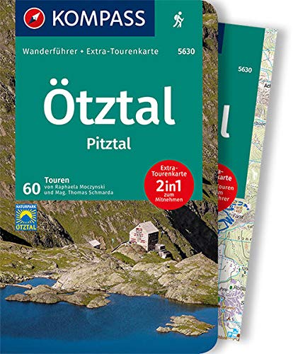
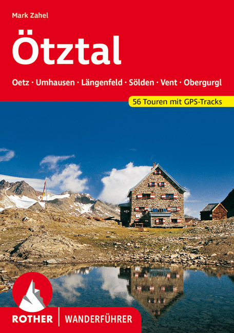
- Wandelgids Otztal | Rother Bergverlag
- Uitstekende wandelgids met een groot aantal dagtochten in dal en hooggebergte. Met praktische informatie en beperkt kaartmateriaal! Wandelingen in verschillende zwaarte weergegeven in rood/blauw/zwart. Das Ötztal ist ein Tal der Superlative. Es ist mit siebzig Kilometern nicht nur das längste Seitental des Inns, es wird auch von über 300... Read more
Netherlands
2022
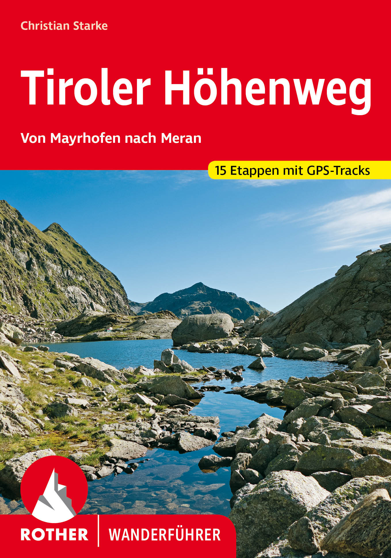
- Wandelgids Tiroler Höhenweg | Rother Bergverlag
- Uitstekende beschrijvingen van deze steeds populairder wordende bergtocht! Goede routebeschrijving, veel praktische informatie, hoogteprofielen en redelike kaartjes. Met alle noodzakelijke info. Zie voor beschrijving de duitse tekst hieronder ... Der Tiroler Höhenweg ist ein hochalpiner Weitwanderweg der Superlative, der in grandioser... Read more
Netherlands
2022
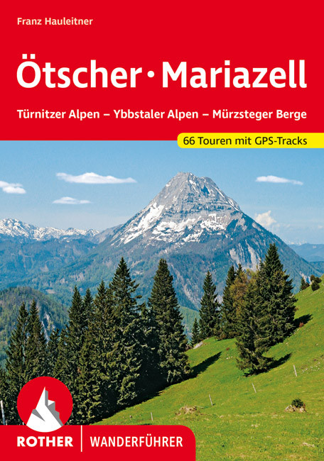
- Wandelgids 70 Ötscher -Mariazell | Rother Bergverlag
- Uitstekende wandelgids met een groot aantal dagtochten in dal en hooggebergte. Met praktische informatie en beperkt kaartmateriaal! Wandelingen in verschillende zwaarte weergegeven in rood/blauw/zwart. Im Bergland um Mariazell und Türnitz vereinen sich grüne Täler und tiefe Schluchten, steil aufragende Wald- und Felsgipfel, stäubende... Read more

Netherlands
- Wanderland Schweiz 02. Trans Swiss Trail
- Das Wanderland Schweiz besteht aus 6 nationalen Routen und 51 mehrtägigenHighlights. Die Routen basieren auf dem bestehenden Wanderwegnetz und integrierenteilweise bereits bestehende Angebote wie beispielsweise Via Alpina, Jura Höhenweg,Via Jacobi oder Rheintaler Höhenweg.Alle 9 Führer sind mit Farbfotos, Karten und Höhenprofilen farbig reich... Read more
- Also available from:
- Bol.com, Belgium
Belgium
- Wanderland Schweiz 02. Trans Swiss Trail
- Das Wanderland Schweiz besteht aus 6 nationalen Routen und 51 mehrtägigenHighlights. Die Routen basieren auf dem bestehenden Wanderwegnetz und integrierenteilweise bereits bestehende Angebote wie beispielsweise Via Alpina, Jura Höhenweg,Via Jacobi oder Rheintaler Höhenweg.Alle 9 Führer sind mit Farbfotos, Karten und Höhenprofilen farbig reich... Read more
Kaarten

Netherlands
- Wandelkaart 10 Monte Rosa, Alagna e Macugnaga | IGC - Istituto Geografico Centrale
- Monte Rosa - Alagna - Macugnaga, map no. 10, in a series contoured hiking maps at 1:50,000 with local trails, long-distance footpaths, mountain accommodation, etc. from the Turin based Istituto Geografico Centrale covering the Italian Alps and Piedmont, the lakes and northern Lombardy, and the Italian Riviera.The maps have contours at 50m... Read more
- Also available from:
- Stanfords, United Kingdom

United Kingdom
- Monte Rosa - Alagna - Macugnaga 50K IGC Map No. 10
- Monte Rosa - Alagna - Macugnaga in a series contoured hiking maps at 1:50,000 with local trails, long-distance footpaths, mountain accommodation, etc. from the Turin based Istituto Geografico Centrale.Maps in this series have contours at 50m intervals, enhanced by shading and graphic relief. An overprint highlights local footpaths and... Read more

Netherlands
- Wandelkaart 11 Domodossola e Val Formazza | IGC - Istituto Geografico Centrale
- IGC heeft een serie gedetailleerde wandelkaarten voor het Italiaanse gedeelte van de Alpen (Piemonte). Voldoende gedetailleerd voor het volgen van het lokale wandelnetwerk. Voorzien van schaduwreliëf, hoogtelijnen en referentiehoogtes. Onderscheid in soort wandelpad ( bergpad, bergpad met hindernissen,gletsjerovergang). Ook zijn de... Read more
- Also available from:
- Stanfords, United Kingdom

United Kingdom
- Domodossola - Val Formazza 50K IGC Map No. 11
- Domodossola - Val Formazza area of the Italian Alps in a series contoured hiking maps at 1:50,000 with local trails, long-distance footpaths, mountain accommodation, etc. from the Turin based Istituto Geografico Centrale.Maps in this series have contours at 50m intervals, enhanced by shading and graphic relief. An overprint highlights local... Read more

Netherlands
- Wandelkaart 06 Monviso | IGC - Istituto Geografico Centrale
- Monviso / Monte Viso cross-border area with coverage from Châteaux Queyras to Sampeyre and from the Grand Queyron to the Aiguille de Chambeyron in a series contoured hiking maps at 1:50,000 with local trails, long-distance footpaths, mountain accommodation, etc. from the Turin based Istituto Geografico Centrale.Maps in this series have contours... Read more
- Also available from:
- Stanfords, United Kingdom

United Kingdom
- Monviso IGC 6
- Monviso / Monte Viso cross-border area with coverage from Châteaux Queyras to Sampeyre and from the Grand Queyron to the Aiguille de Chambeyron in a series contoured hiking maps at 1:50,000 with local trails, long-distance footpaths, mountain accommodation, etc. from the Turin based Istituto Geografico Centrale.Maps in this series have contours... Read more
Netherlands
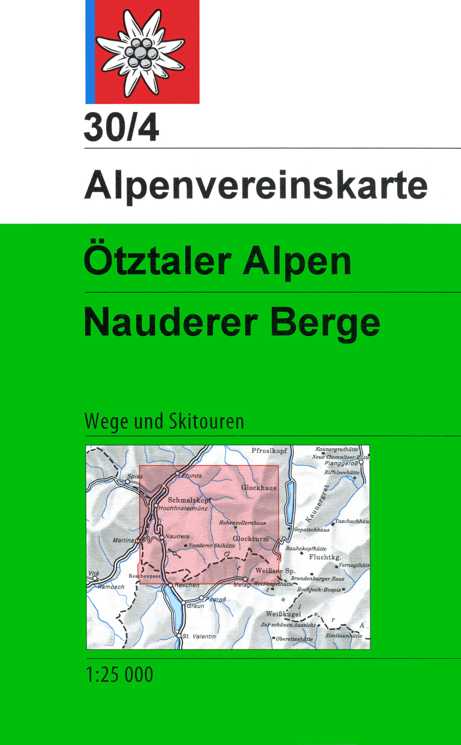
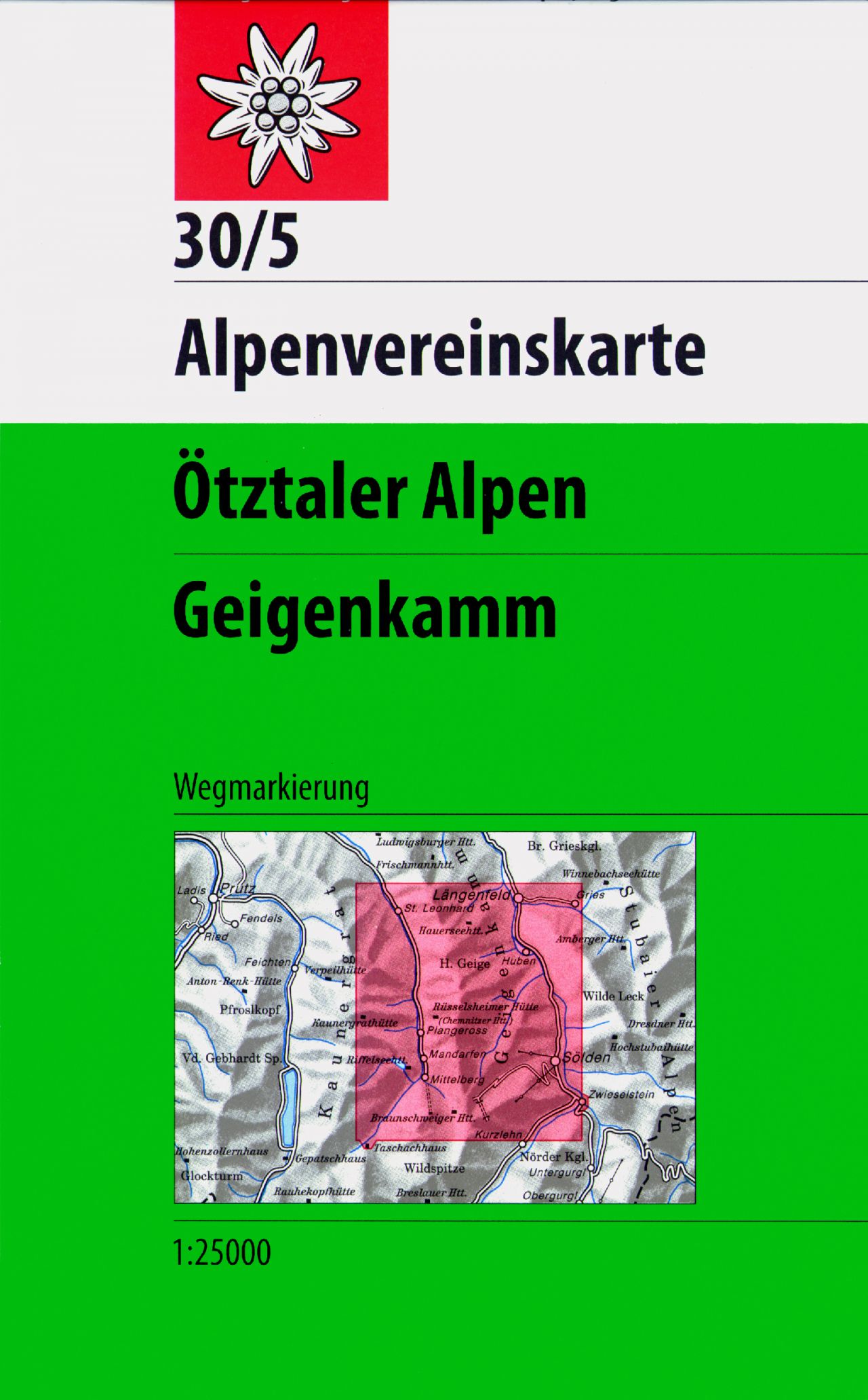
- Wandelkaart 30/4 Alpenvereinskarte Ötztaler Alpen - Nauderer Berge | Alpenverein
- De beste en meest gedetailleerde kaarten van met name de Oostenrijkse alpen: wandelroutes zijn naar zwaarte onderscheidend gemarkeerd, gletsjeroverschrijdingen staan aangegeven en de verschillende soorten hutten ingetekend. Met als ondergrond de topografische kaarten bieden ze een schat aan informatie voor elke beginnende en gevorderde... Read more
- Also available from:
- Stanfords, United Kingdom

United Kingdom
- Otztal Alps - Nauderer Berge Alpenverein KOMBI Map 30/4
- Ötztaler Alps: Nauderer Berge area of the Alps in a combined hiking and ski edition at 1:25,000 from a series of detailed, GPS compatible maps published by the DAV - Deutscher Alpenverein and produced by the German and Austrian Alpine Clubs using cartography from their respective survey organizations. Maps in this series have topography vividly... Read more

Netherlands
- Wandelkaart 02 Valli di lanzo e Moncenisio | IGC - Istituto Geografico Centrale
- Lanzo and Moncenisio Valleys, map no. 2, in a series contoured hiking maps at 1:50,000 with local trails, long-distance footpaths, mountain accommodation, etc. from the Turin based Istituto Geografico Centrale covering the Italian Alps and Piedmont, the lakes and northern Lombardy, and the Italian Riviera.The maps have contours at 50m... Read more
- Also available from:
- Stanfords, United Kingdom

United Kingdom
- Lanzo and Moncenisio Valleys IGC 2
- Lanzo and Moncenisio Valleys in a series contoured hiking maps at 1:50,000 with local trails, long-distance footpaths, mountain accommodation, etc. from the Turin based Istituto Geografico Centrale. This title also includes an overprint showing cycle routes.Maps in this series have contours at 50m intervals, enhanced by shading and graphic... Read more

Netherlands
- Wandelkaart 16 Genova, Genua, Varazze, Ovada | IGC - Istituto Geografico Centrale
- Genoa - Varazze - Ovada, map no. 16, in a series contoured hiking maps at 1:50,000 with local trails, long-distance footpaths, mountain accommodation, etc. from the Turin based Istituto Geografico Centrale covering the Italian Alps and Piedmont, the lakes and northern Lombardy, and the Italian Riviera.The maps have contours at 50m intervals,... Read more
- Also available from:
- Stanfords, United Kingdom

United Kingdom
- Genoa - Varazze - Ovada 50K IGC Map No. 16
- The coast of the Italian Riviera and its hinterland around Genoa in a series contoured hiking maps at 1:50,000 with local trails, long-distance footpaths, mountain accommodation, etc. from the Turin based Istituto Geografico Centrale.Maps in this series have contours at 50m intervals, enhanced by shading and graphic relief. An overprint... Read more

Netherlands
- Wandelkaart 01 Valli di Susa, chisone e germanasca | IGC - Istituto Geografico Centrale
- IGC heeft een serie gedetailleerde wandelkaarten voor het Italiaanse gedeelte van de Alpen (Piemonte). Voldoende gedetailleerd voor het volgen van het lokale wandelnetwerk. Voorzien van schaduwreliëf; hoogtelijnen en referentiehoogtes. Onderscheid in soort wandelpad ( bergpad, bergpad met hindernissen,gletsjerovergang). Ook zijn de... Read more
- Also available from:
- Stanfords, United Kingdom

United Kingdom
- Susa, Chisone & Germanasca Valleys: Sestiere - Sauze d`Oulx - Bardonecia 50K IGC Map No. 1
- Susa, Chisone and Germanasca Valleys, with coverage including Sestiere, Sauze d`Oulx and Bardonecia, in a series of contoured hiking maps at 1:50,000 with local trails, long-distance footpaths, mountain accommodation, etc. from the Turin based Istituto Geografico Centrale.Maps in this series have contours at 50m intervals, enhanced by shading... Read more

Netherlands
- Wandelkaart 08 Alpi marittime e Liguri | IGC - Istituto Geografico Centrale
- A cross-border area of the Maritime and Ligurian Alps at 1:50,000, with coverage on the Italian side including Limone, Alpi Maritime PN and Alta Valle Pesio e Tanaro PN, plus in France Tende, Vallée des Merveilles and Saorge, in a series contoured hiking maps with local trails, long-distance footpaths, mountain accommodation, etc. from the... Read more
- Also available from:
- Stanfords, United Kingdom

United Kingdom
- Maritime and Ligurian Alps IGC 8
- A cross-border area of the Maritime and Ligurian Alps at 1:50,000, with coverage on the Italian side including Limone, Alpi Maritime PN and Alta Valle Pesio e Tanaro PN, plus in France Tende, Vallée des Merveilles and Saorge, in a series contoured hiking maps with local trails, long-distance footpaths, mountain accommodation, etc. from the... Read more
Netherlands
- Also available from:
- Stanfords, United Kingdom

United Kingdom
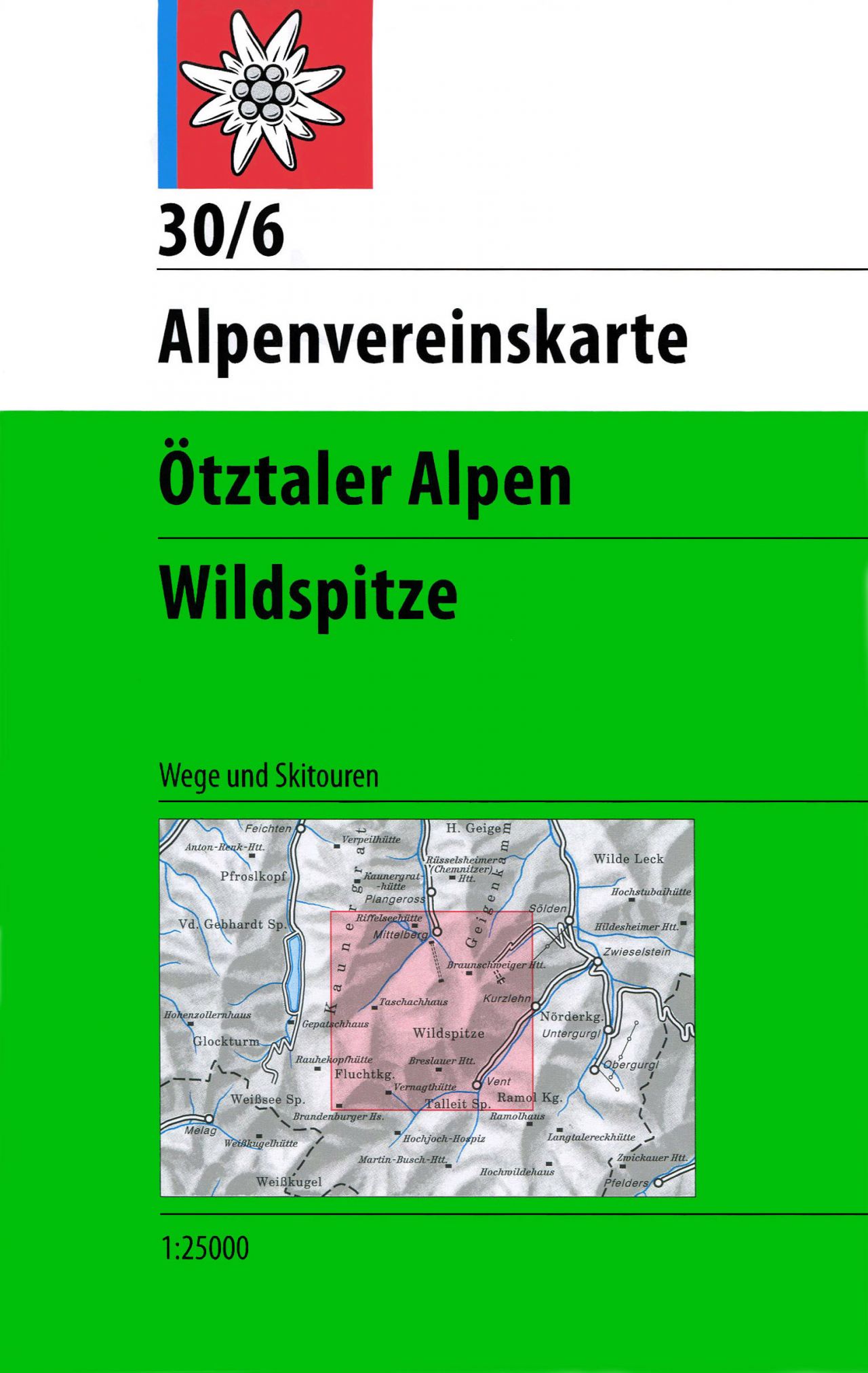
- Otztaler Alps - Geigenkamm Alpenverein Map 30/5
- Ötztaler Alps: Geigenkamm area of the Alps in a combined hiking and ski edition at 1:25,000 from a series of detailed, GPS compatible maps published by the DAV - Deutscher Alpenverein and produced by the German and Austrian Alpine Clubs using cartography from their respective survey organizations. Maps in this series have topography vividly... Read more

Netherlands
- Wandelkaart - Fietskaart 07 Outdoorkarte IT Gardasee - Gardameer | Kümmerly & Frey
- Lake Garda - Lake d'Idro - Monte Baldo - Verona area at 1:50,000 in a series of waterproof and tear-resistant, GPS compatible and contoured recreational maps from K Read more
- Also available from:
- Stanfords, United Kingdom
United Kingdom
- Lake Garda - Lake Idro - Monte Baldo - Verona K+F Outdoor Map 7
- Lake Garda - Lake d`Idro - Monte Baldo - Verona area at 1:50,000 in a series of waterproof and tear-resistant, GPS compatible and contoured recreational maps from Kümmerly + Frey with both local and long-distance hiking and cycling trails, ski routes, sites for other outdoor pursuits, accommodation, bus stops, etc. An inset provides a small... Read more

Netherlands
- Wandelkaart 03 Il parco nazionale del Gran Paradiso | IGC - Istituto Geografico Centrale
- Gran Paradiso National Park in a series contoured hiking maps at 1:50,000 with local trails, long-distance footpaths, mountain accommodation, etc, from the Turin based Istituto Geografico Centrale. This new edition published in late 2013 highlights, among other routes, the GTA (Grande Traversata delle Alpi), Via Alpina and Alta Via 2. Coverage... Read more
- Also available from:
- Stanfords, United Kingdom

United Kingdom
- Gran Paradiso National Park IGC 3
- Gran Paradiso National Park in a series contoured hiking maps at 1:50,000 with local trails, long-distance footpaths, mountain accommodation, etc, from the Turin based Istituto Geografico Centrale. The map highlights, among other routes, the GTA (Grande Traversata delle Alpi), Via Alpina and Alta Via 2. Coverage extends from Aosta at the top of... Read more

Netherlands
- Wandelkaart 17 Torino, Pinerolo e Bassa val di Susa | IGC - Istituto Geografico Centrale
- Turin - Pinerolo - Lower Susa Valley, map no. 17, in a series contoured hiking maps at 1:50,000 with local trails, long-distance footpaths, mountain accommodation, etc. from the Turin based Istituto Geografico Centrale covering the Italian Alps and Piedmont, the lakes and northern Lombardy, and the Italian Riviera.The maps have contours at 50m... Read more
- Also available from:
- Stanfords, United Kingdom

United Kingdom
- Turin - Pinerolo - Lower Susa Valley 50K IGC Map No. 17
- Turin - Pinerolo - Lower Susa Valley area of Piedmont in a series contoured hiking maps at 1:50,000 with local trails, long-distance footpaths, mountain accommodation, etc. from the Turin based Istituto Geografico Centrale.Maps in this series have contours at 50m intervals, enhanced by shading and graphic relief. An overprint highlights local... Read more

Netherlands
- Wandelkaart 14 San Remo, imperia Monte Carlo | IGC - Istituto Geografico Centrale
- The westernmost part of the Italian Riviera with coverage extending from Monte Carlo to Imperia and northwards to Tende, in a series contoured hiking maps at 1:50,000 with local trails, long-distance footpaths, mountain accommodation, etc. from the Turin based Istituto Geografico Centrale.Maps in this series have contours at 50m intervals,... Read more
- Also available from:
- Stanfords, United Kingdom

United Kingdom
- San Remo - Imperia - Monte Carlo IGC 14
- The westernmost part of the Italian Riviera with coverage extending from Monte Carlo to Imperia and northwards to Tende, in a series contoured hiking maps at 1:50,000 with local trails, long-distance footpaths, mountain accommodation, etc. from the Turin based Istituto Geografico Centrale.Maps in this series have contours at 50m intervals,... Read more
Netherlands