
Asturias
Beschrijving
Kaart

Paden in deze regio
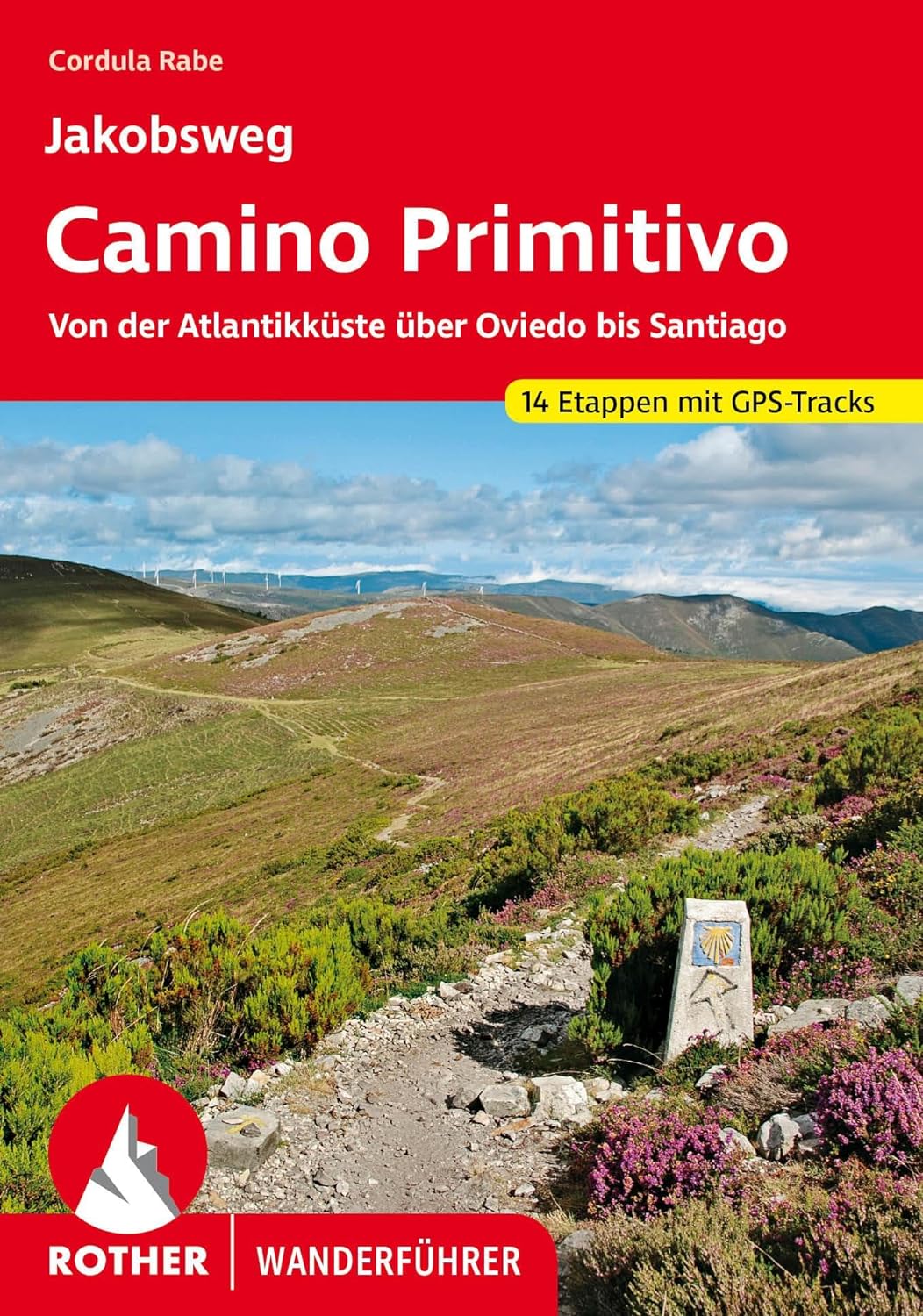
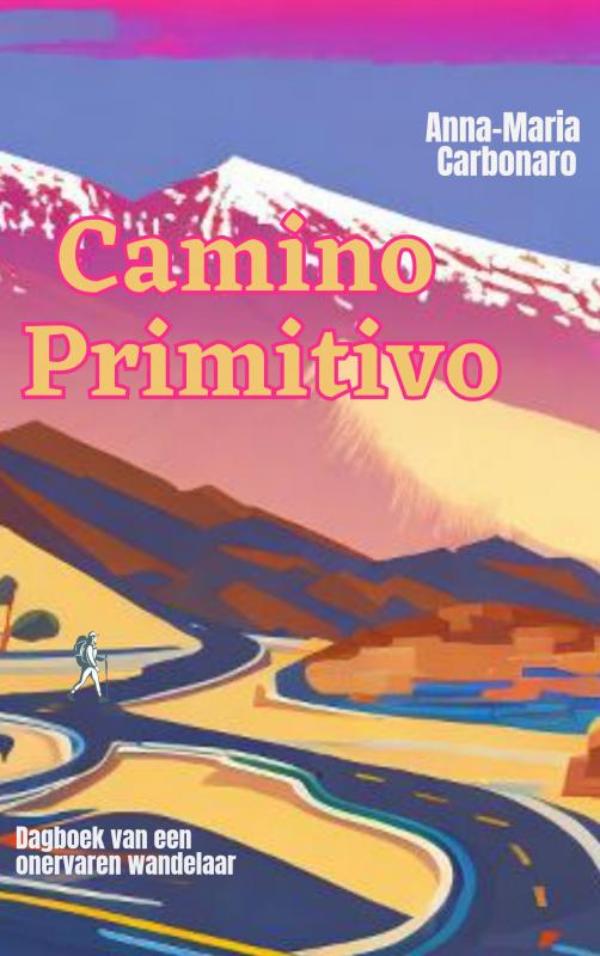
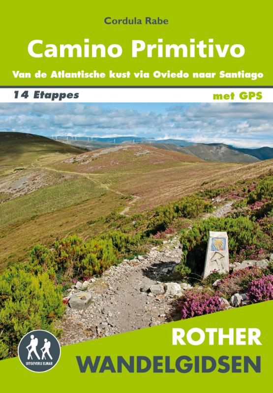
- Camino PrimitivoGPX
- GR1 Sendero Histórico, Senda TransversalGPX
- GR100 Ruta de la PlataGPX
- GR101 Camino Real de la MesaGPX
- GR102 Camino Real de Sellón
- GR105 Ruta de las PeregrinacionesGPX
- GR106 Ruta de San MelchorGPX
- GR108 Travesía AndariegaGPX
- GR200 Ruta de los Palacios
- GR201 Senda del ArcedianoGPX
- GR202 Ruta La ReconquistaGPX
- GR204 Senda CosteraGPX
Links
Feiten
Verslagen
Gidsen en kaarten
Overnachting
Organisaties
Reisorganisaties
GPS
Anders
Boeken
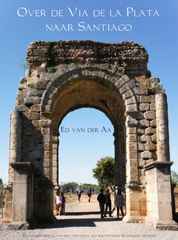

De Zwerver
Netherlands
2022
Netherlands
2022
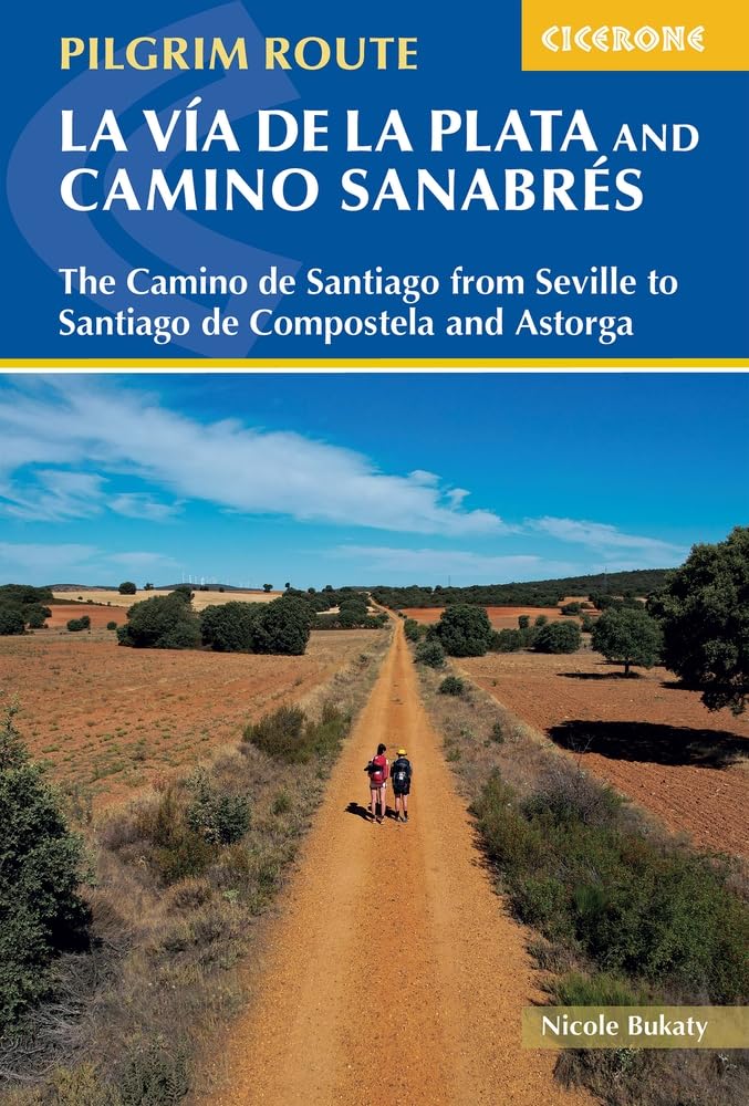
De Zwerver
Netherlands
2023
Netherlands
2023
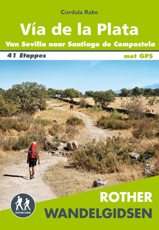
De Zwerver
Netherlands
2017
Netherlands
2017
Bol.com
Netherlands
Netherlands
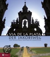
- Via de la Plata - der Jakobsweg
- Die Via de la Plata ist die zweite große Pilgerroute Spaniens - und die große Alternative zum Camino Francés. Der über 1000 Kilometer lange Weg durch Andalusien, die Extremadura, Kastilien und Galizien bis nach Santiago entfaltet die ganze landschaftliche und kulturelle Schönheit Spaniens und ermöglicht auch heute noch ursprüngliche... Read more
- Also available from:
- Bol.com, Belgium
Bol.com
Belgium
Belgium
- Via de la Plata - der Jakobsweg
- Die Via de la Plata ist die zweite große Pilgerroute Spaniens - und die große Alternative zum Camino Francés. Der über 1000 Kilometer lange Weg durch Andalusien, die Extremadura, Kastilien und Galizien bis nach Santiago entfaltet die ganze landschaftliche und kulturelle Schönheit Spaniens und ermöglicht auch heute noch ursprüngliche... Read more
Bol.com
Netherlands
Netherlands
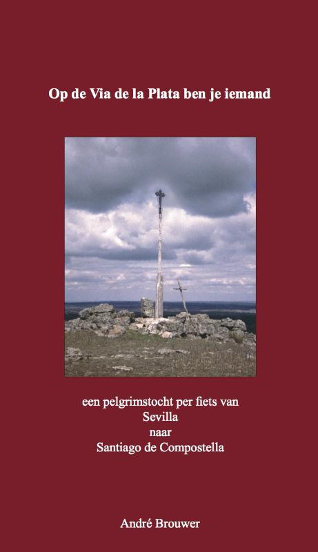
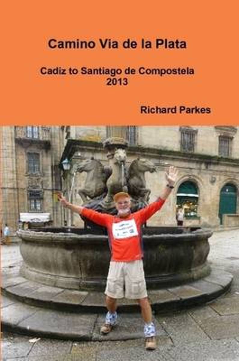
- Camino via De La Plata
- Story and guide of my journey from Cadiz to Santiago de Compostela on the Camino Via de la Plata. Includes personal reflections,some details of the history and the importance of this route to the Romans. This walk was used to collect donations towards prostate cancer research. Read more
- Also available from:
- Bol.com, Belgium
Bol.com
Belgium
Belgium
- Camino via De La Plata
- Story and guide of my journey from Cadiz to Santiago de Compostela on the Camino Via de la Plata. Includes personal reflections,some details of the history and the importance of this route to the Romans. This walk was used to collect donations towards prostate cancer research. Read more
Bol.com
Netherlands
Netherlands
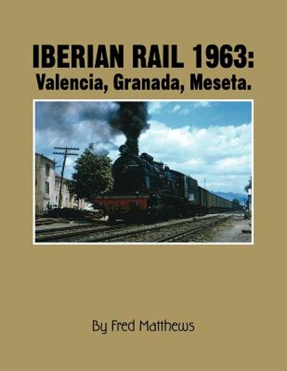
- Iberian Rail
- This is the second part of a survey of Iberian railways and tramways in 1963, when the author and his friend Larry Veysey and I made a long circular tour of the Peninsula. In 1963 the traditional tramways were large and busy, though already in the sights of modernizing bureaucrats. The broad-gauge national RENFE and most independent railways... Read more
- Also available from:
- Bol.com, Belgium
Bol.com
Belgium
Belgium
- Iberian Rail
- This is the second part of a survey of Iberian railways and tramways in 1963, when the author and his friend Larry Veysey and I made a long circular tour of the Peninsula. In 1963 the traditional tramways were large and busy, though already in the sights of modernizing bureaucrats. The broad-gauge national RENFE and most independent railways... Read more
Kaarten

De Zwerver
Netherlands
Netherlands
- Pelgrimsroute (kaart) - Wandelkaart Camino de Santiago in Spanje | CNIG - Instituto Geográfico Nacional
- All roads leading to Santiago de Compostela in the Iberian Peninsula are represented on this Caminos de Santiago / The Way of St. James Map. Routes highlighted on a physical map of the Iberian Peninsula at 1:1,250,000 from IGN/CNIG, Spain civilian topographic survey organization. The base map with altitude colouring and relief shading provides... Read more
- Also available from:
- Stanfords, United Kingdom

Stanfords
United Kingdom
United Kingdom
- Caminos de Santiago / Ways of St. James on the Iberian Peninsula CNIG Overview Map
- All roads leading to Santiago de Compostela in the Iberian Peninsula are represented on this Caminos de Santiago / The Way of St. James Map. Routes highlighted on a physical map of the Iberian Peninsula at 1:1,250,000 from IGN/CNIG, Spain civilian topographic survey organization. The base map with altitude colouring and relief shading provides... Read more
De Zwerver
Netherlands
Netherlands
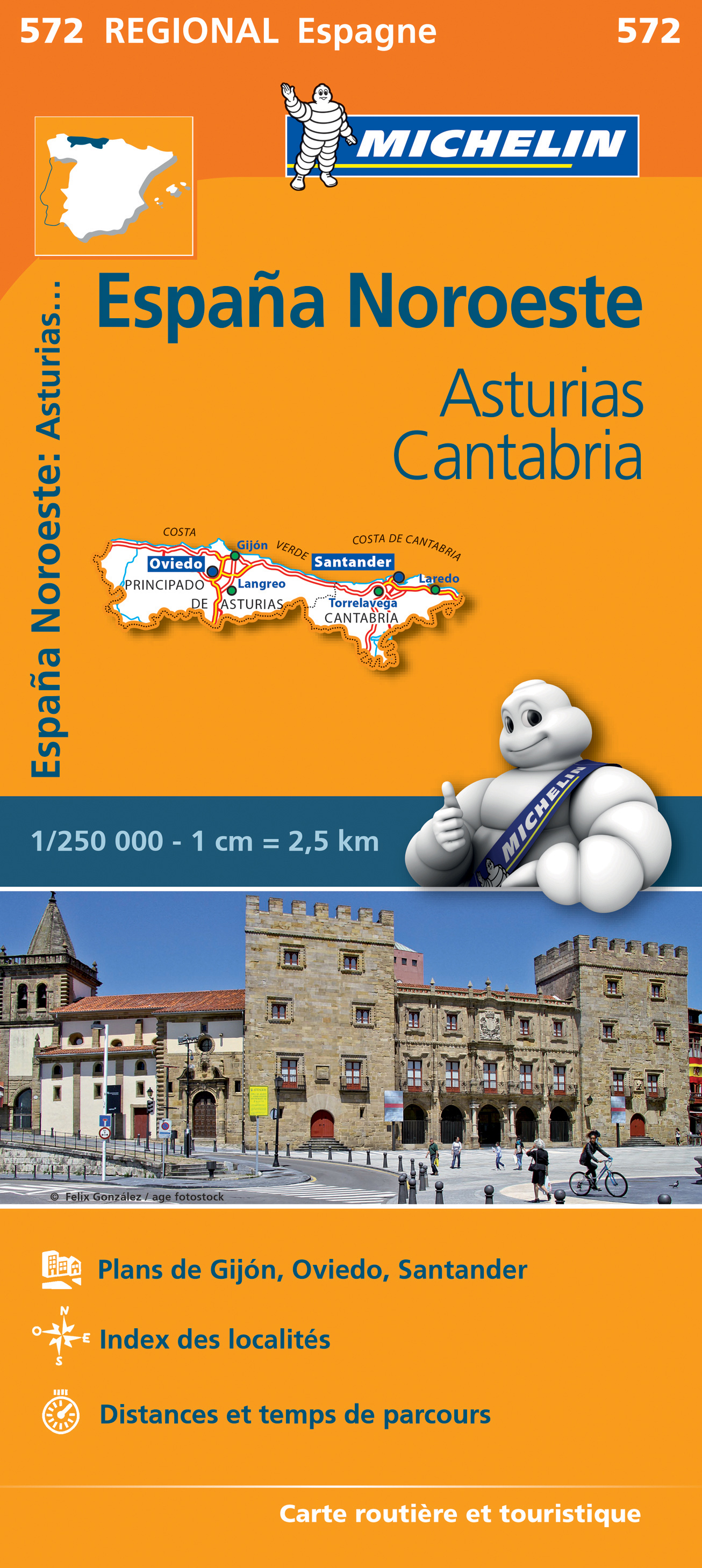
- Wegenkaart - landkaart 572 Asturias - Cantabria - Oviedo - Santander | Michelin
- Une carte fiable pour parcourir les régions d'Europe Read more
De Zwerver
Netherlands
2021
Netherlands
2021
De Zwerver
Netherlands
Netherlands
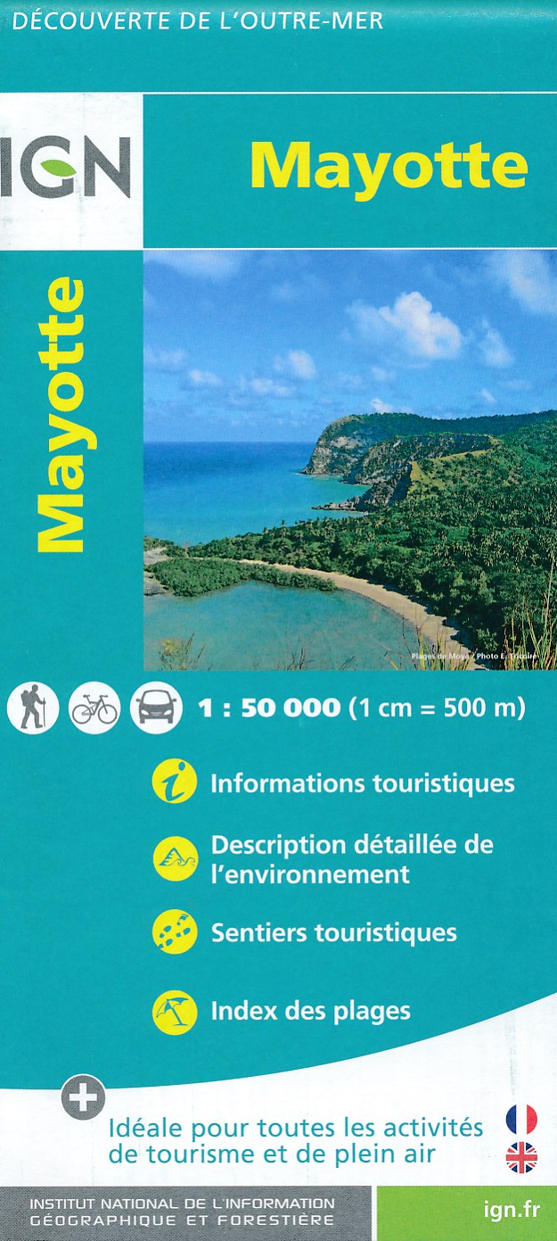
- Fietskaart - Wandelkaart Mayotte | IGN - Institut Géographique National
- MayotteLes cartes routières et touristiques de l?Outre-mer vous permettent de découvrir ces destinations exotiques. Read more
- Also available from:
- Stanfords, United Kingdom

Stanfords
United Kingdom
United Kingdom
- Mayotte IGN Map 84976
- Mayotte at 1:50,000 on a contoured and GPS compatible map from the IGN, with plans of Mazoudzou and Dzaoudzi, plus an index of beaches. Topography is shown by contours at 20m intervals with relief shading and spot heights, plus colouring and/or graphics for different types of vegetation. In the surrounding waters coral reefs are prominently... Read more

Stanfords
United Kingdom
United Kingdom
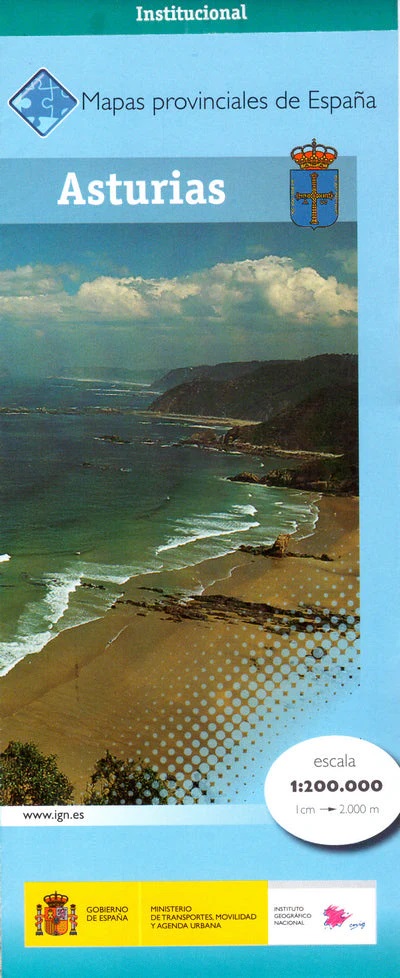
- Asturias Province 200K CNIG Map No. 5
- Contoured, GPS-compatible, indexed road map at 1:200,000 from CNIG - Spain’s civilian survey organization, with exceptionally informative presentation of the landscape and highlighting for facilities and places of interest including campsites and paradors.Maps in CNIG’s 200K Provincial Series provide an excellent picture the topography through... Read more

Stanfords
United Kingdom
2017
United Kingdom
2017
- Le Chemin du Piemont Pyreneen - vers Saint-Jacques-de-Compostell
- Le Chemin du Piémont Pyrénéen, FFRP topoguide, Ref. No. 780, covering the GR78 - the Way of St. James along the northern side of the Pyrenees from Carcassonne to Roncesvalles on the Spanish side, with an alternative variant to cross the mountains along the Col du Somport. Current edition of this title was published in May 2017.The route, the... Read more

Stanfords
United Kingdom
United Kingdom
- Alto Sil
- Alto Sil area in the Cordillera Cantabrica on the border of Asturias and León on a detailed, contoured, GPS compatible map at 1:50,000 from Calecha highlighting numerous waymarked hiking trails, various types of tourist accommodation, etc.Cartographic information is based on the Spanish military survey, with contour lines at 20m intervals, plus... Read more