
Majorca, Baleares
Beschrijving

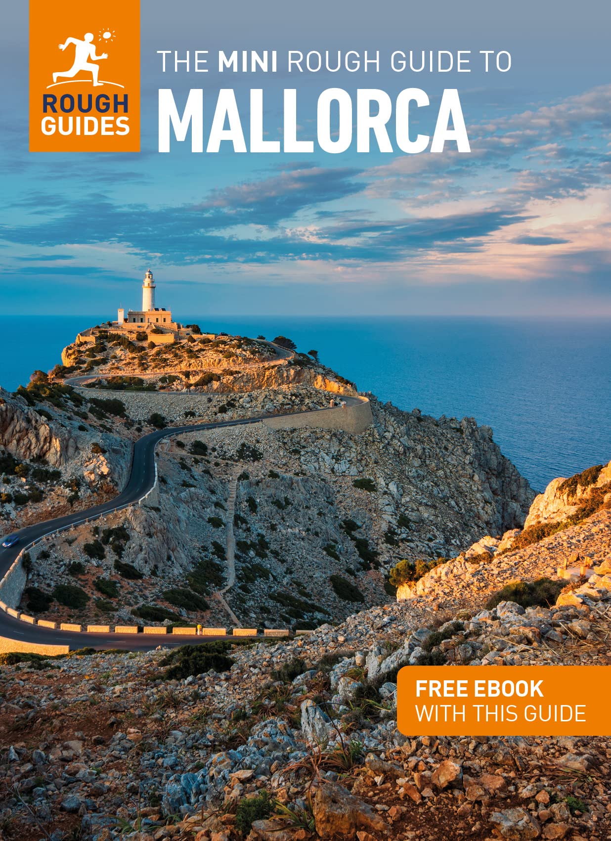
The largest of the Islas Baleares, Majorca - or Mallorca - is a popular holiday destination thanks to its beaches and climate. Much of the island is pretty flat, with larges settlements along its coastline and farmland in its centre.
The northern part of Mallorca is mountainous: Serra de Tramuntana. Here most of the hiking trails can be found. The mountain ridges seem to roll out of the centre of the island, like waves tipping over towards the sea, the white crests sticking out of the forests. Main trail on the island is the GR221, traversing the Serra de Tramuntana. The other trail is the GR222 crossing the island from east to west. Both trails are still under construction, but the itineraries are set out. Refuges - both private and municipal - can be found along these trails. Many shorter hiking trails on the island are marked.
Check the list of Balearic Islands.
Kaart

Paden in deze regio
Links
Feiten
Verslagen
Gidsen en kaarten
Overnachting
Organisaties
Reisorganisaties
GPS
Anders
Boeken
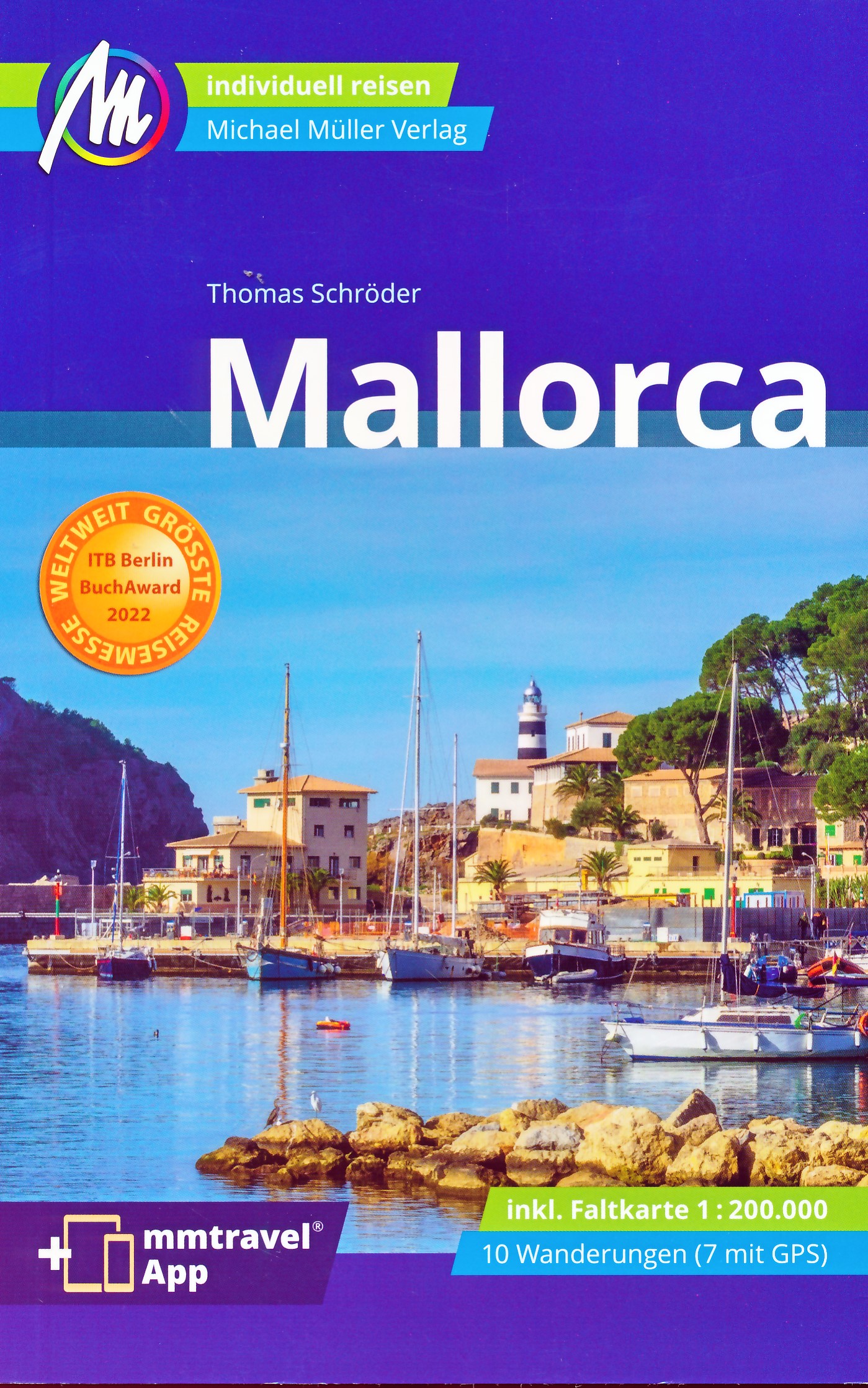
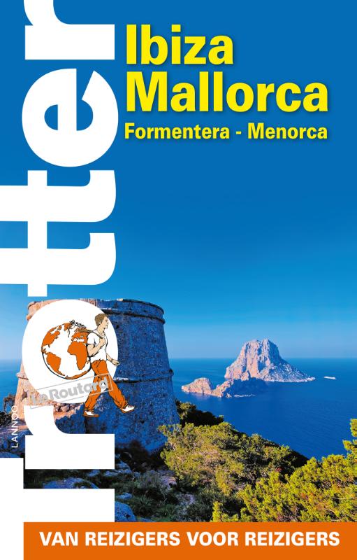
Netherlands
2016
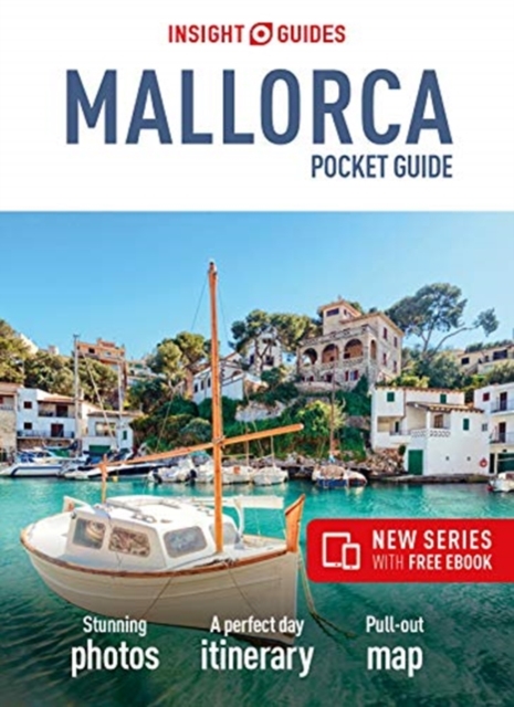
- Reisgids Trotter Ibiza - Mallorca - Formentera - Menorca | Lannoo
- De onmisbare gids voor echte trotters - Het echte verhaal achter de klassieke trekpleisters - Tips om de verborgen parels buiten de platgetreden paden te verkennen - Verrassende anekdotes en topervaringen van Trotter - Honderden budgetvriendelijke en uitgeteste horeca-adressen - Kaarten en plattegronden waarop je al onze adressen terug vindt Read more

- Also available from:
- Stanfords, United Kingdom

United Kingdom
2018
- Mallorca - Walk & Eat
- These pocket-sized full-colour guides, illustrated with hundreds of photographs, are designed for short-break holidays. They describe walks and recommend restaurants/hotels en route. Following each restaurant entry is one or more of their recipes to make in self-catering accommodation or at home. Read more
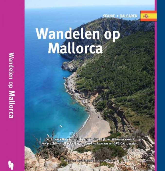
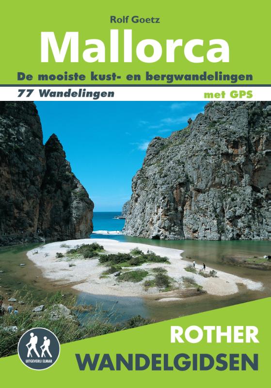
Netherlands
2012
- Wandelgids Wandelen op Mallorca | One Day Walks
- Kun je genieten van natuurschoon, rust, ruimte en al die andere dingen die het wandelen zo aangenaam maken, op een eiland dat jaarlijks wordt bezocht door meer dan tien miljoen mensen? Het antwoord in het geval van Mallorca is een volmondig en hartgrondig 'ja!'. Het gevarieerde landschap, de afwisseling tussen het vlakke zuiden en de... Read more
Netherlands
2019
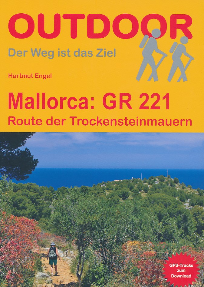
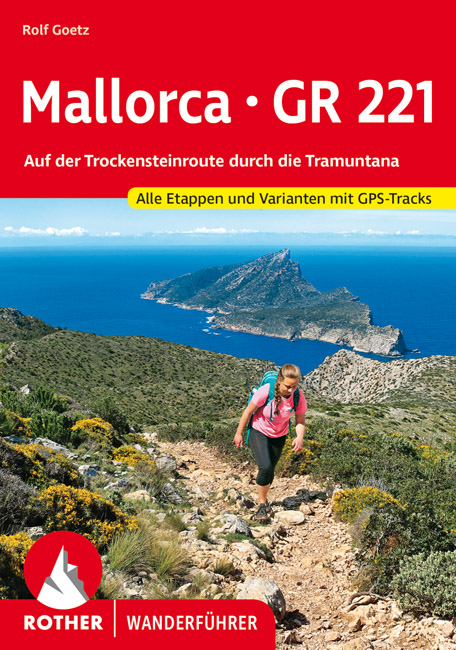
- Wandelgids Mallorca GR221 | Conrad Stein Verlag
- Handzaam boekje met de routebeschrijving inclusief een heleboel praktische informatie. De beschrijving is uitstekend, maar kaarten zijn beperkt en schetsmatig aanwezig. Duits. Auch auf Mallorca findet man noch unberührte Natur und abgeschiedene Wege: z. B. in der Serra de Tramuntana (Serra del Norte), dem Gebirge im Westen der Insel. Auf der... Read more
Netherlands
2015
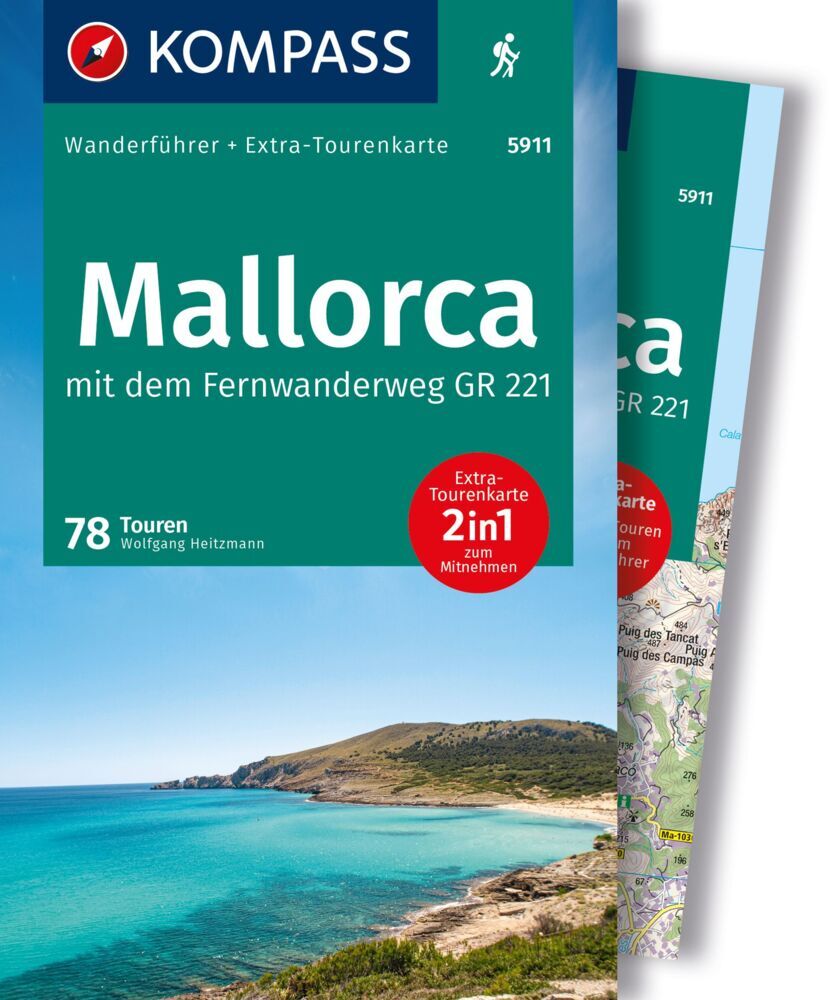
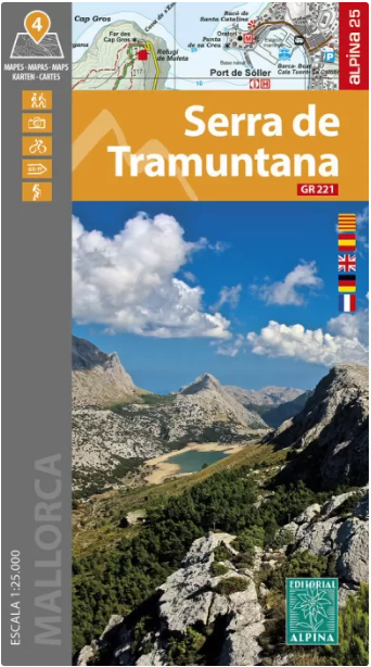
- Wandelgids 73 Mallorca wandelkaarten met GR221 en GR222 | Editorial Alpina
- Wandelgids van Mallorca - gids met beschrijvingen van de routes en 7 gedetailleerde wandelkaarten. 60 wandelingen: wandelingen in natuurgebieden, cultuurwandelingen, GR 221 en GR222 Serra de Tramuntana, Llevant, Formentor, Sa Dragonera, Son Real, Planicia, Cap des Pinar. Taal: Engels / Duits kaart A: Andratx - Estellencs / GR 221 kaart B:... Read more
- Also available from:
- Stanfords, United Kingdom

United Kingdom
2015
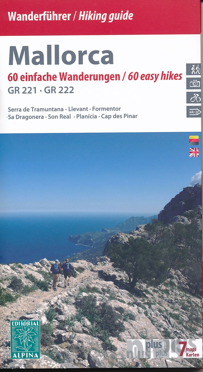
- Mallorca - 60 Easy Hikes Editorial Alpina GR211-GR222 ENGLISH/GERMAN
- Northern Mallorca 7-Map Walking Set – ENGLISH/German version - at 1:50,000 from the hiking map specialists Editorial Alpina, presenting the northern half of the island on seven handy-size maps. Accompanying booklet, in this version in English and German, includes descriptions of 60 day hikes from different locations, plus the GR221 across the... Read more
Netherlands
2020
Kaarten
Netherlands
2012
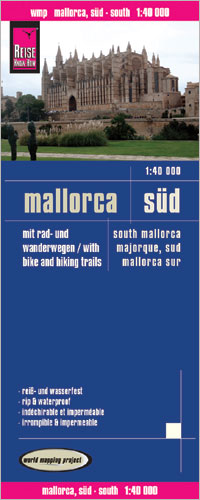
- Wandelkaart - Fietskaart - Wegenkaart - landkaart Mallorca Süd - Mallorca Zuid | Reise Know-How Verlag
- Southern Mallorca at 1:40,000 in a series of four GPS compatible, double-sided maps from Reise Know-How printed on light, waterproof and tear-resistant synthetic paper, with very clear presentation of the road network, plus selected hiking and cycling routes.Maps in this series have contours at 100m intervals, enhanced by altitude colouring,... Read more
- Also available from:
- Stanfords, United Kingdom

United Kingdom
2012
- Mallorca South Reise Know-How
- Southern Mallorca at 1:40,000 in a series of four GPS compatible, double-sided maps from Reise Know-How printed on light, waterproof and tear-resistant synthetic paper, with very clear presentation of the road network, plus selected hiking and cycling routes.Maps in this series have contours at 100m intervals, enhanced by altitude colouring,... Read more
Netherlands
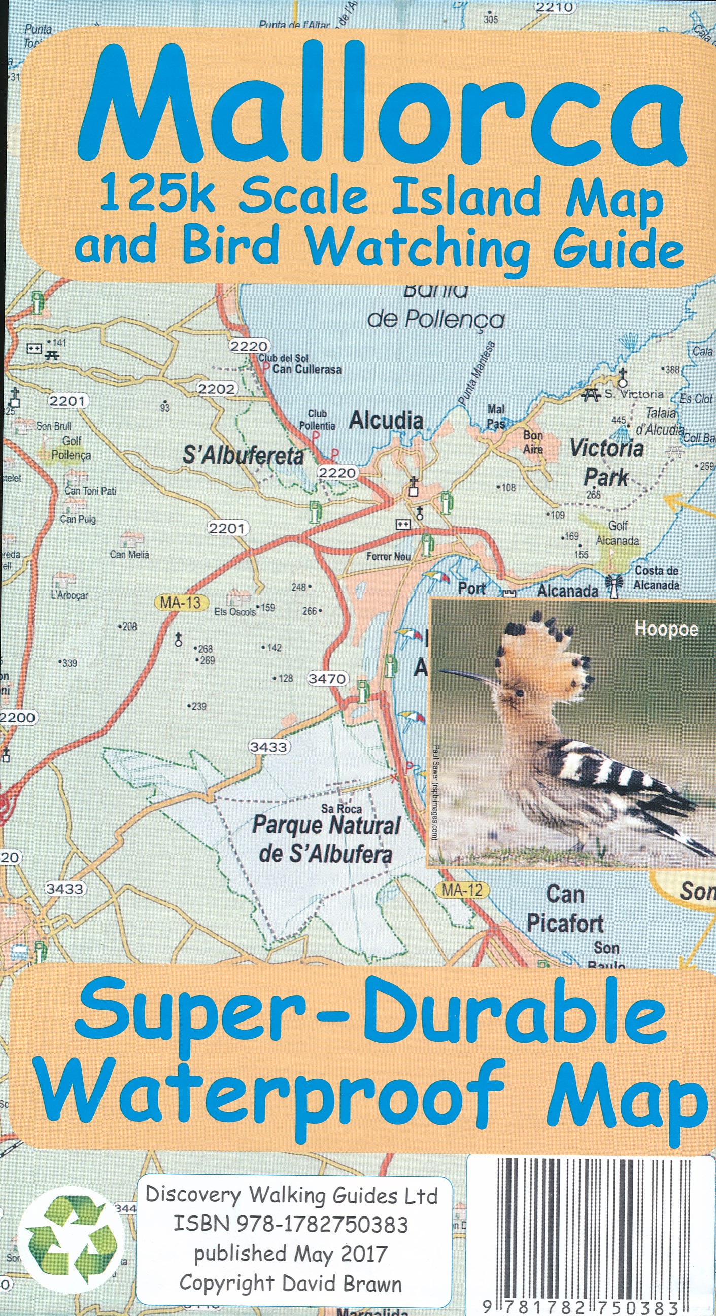
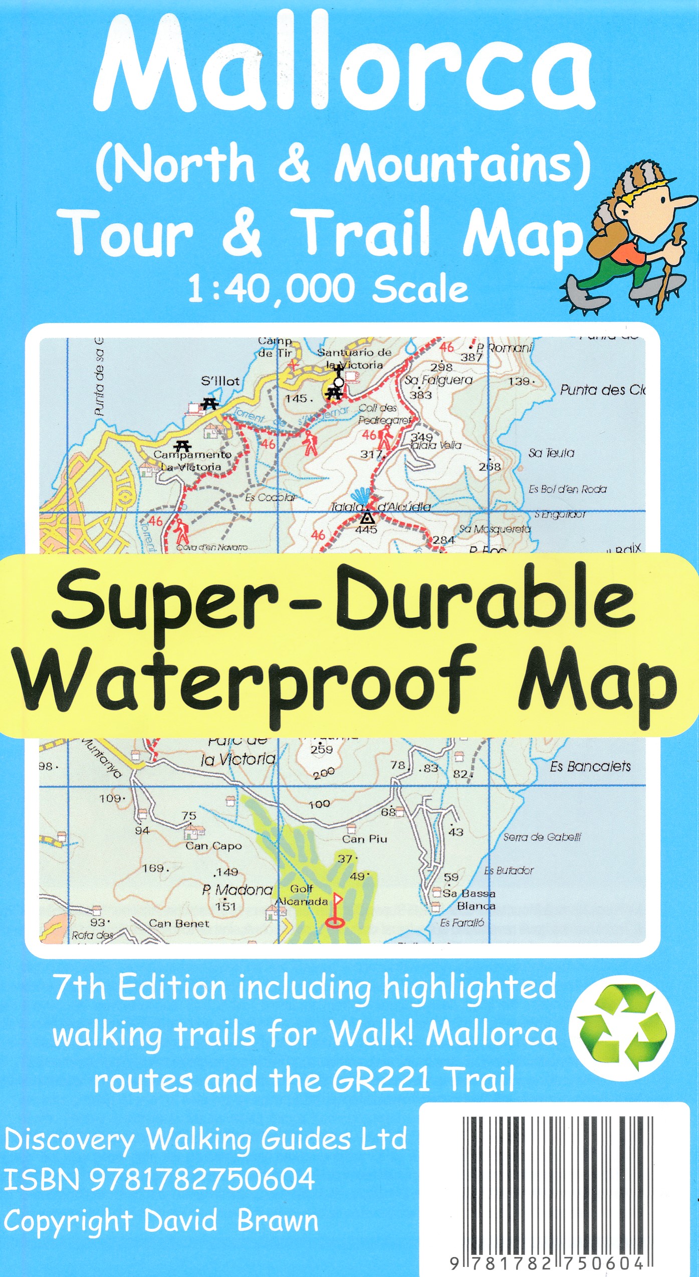
- Wegenkaart - landkaart Mallorca -Island map and birdwatching guide | Discovery Walking Guides
- Goede wandelkaart van Korfoe. Scheur- en watervast. Corfu Tour & Trail Super-Durable Map is the most detailed, accurate, toughest, large scale map of the island that you can buy. Super-Durable Maps now come with a 2 year adventurous use wear and tear guarantee, see Discovery Walking Guides website for details. Our large 1:40,000 scale produces... Read more
Netherlands
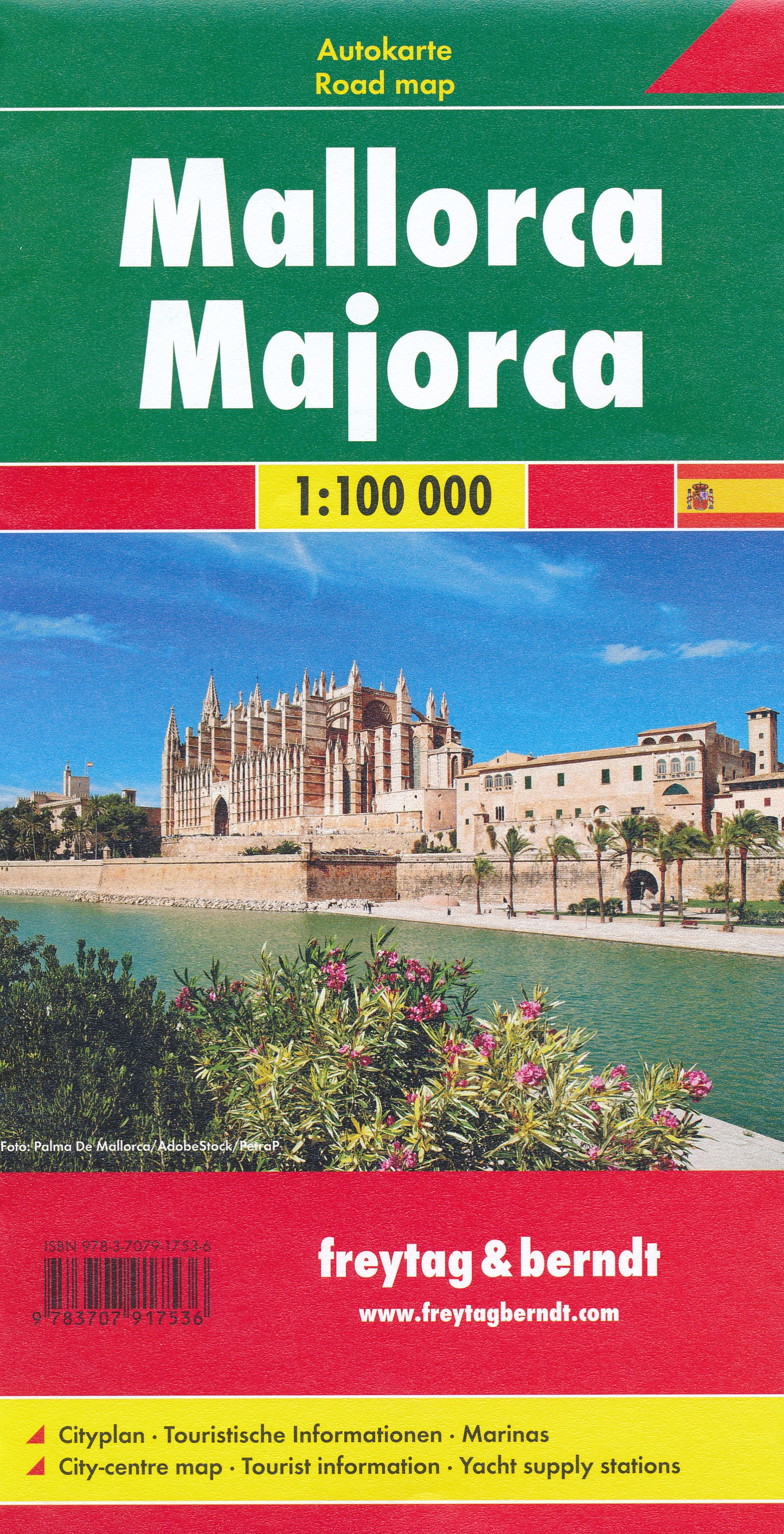
- Wegenkaart - landkaart Mallorca | Freytag & Berndt
- Majorca at 1:50,000 on a large, double-sided, contoured map from Freytag & Berndt, with highlighting for scenic roads and tourist routes, plus a booklet with a GPS-annotated index, street plan of central Palma, and multilingual descriptions of the island’s best sights.Topography is shown by contours at 100m intervals, with numerous spot height,... Read more
- Also available from:
- Stanfords, United Kingdom

United Kingdom
- Mallorca F&B
- Majorca at 1:50,000 on a large, double-sided, contoured map from Freytag & Berndt, with highlighting for scenic roads and tourist routes, plus a booklet with a GPS-annotated index, street plan of central Palma, and multilingual descriptions of the island’s best sights.Topography is shown by contours at 100m intervals, with numerous spot height,... Read more
- Also available from:
- Stanfords, United Kingdom

United Kingdom
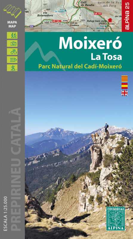
- Moixeró - La Tosa - Cadí-Moixeró Natural Park Editorial Alpina
- Moixeró - La Tosa in an extensive and very popular series of walking maps from Editorial Alpina covering the Pyrenees, Catalonia and other selected hiking areas in Spain, including Picos de Europa, Sierra Nevada and parts of Andalucía, Majorca, etc. Scales vary from 1:50,000 to 1:10,000, with the majority of the titles at 1:25,000. The maps... Read more
Netherlands
2014
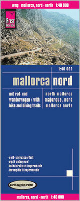
- Wandelkaart - Fietskaart - Wegenkaart - landkaart Mallorca Nord - Mallorca Noord | Reise Know-How Verlag
- Northern Mallorca at 1:40,000 in a series of four GPS compatible, double-sided maps from Reise Know-How printed on light, waterproof and tear-resistant synthetic paper, with very clear presentation of the road network, plus selected hiking and cycling routes.Maps in this series have contours at 100m intervals, enhanced by altitude colouring,... Read more
- Also available from:
- Stanfords, United Kingdom

United Kingdom
2014
- Mallorca North Reise Know-How
- Northern Mallorca at 1:40,000 in a series of four GPS compatible, double-sided maps from Reise Know-How printed on light, waterproof and tear-resistant synthetic paper, with very clear presentation of the road network, plus selected hiking and cycling routes.Maps in this series have contours at 100m intervals, enhanced by altitude colouring,... Read more
Netherlands
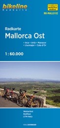
- Fietskaart MALLO02 Bikeline Radkarte Mallorca Ost | Esterbauer
- Inca - Artà - Manacor - Llucmajor - Cala d´Or Bikeline Radkarte. 1., Auflage. Read more
Netherlands
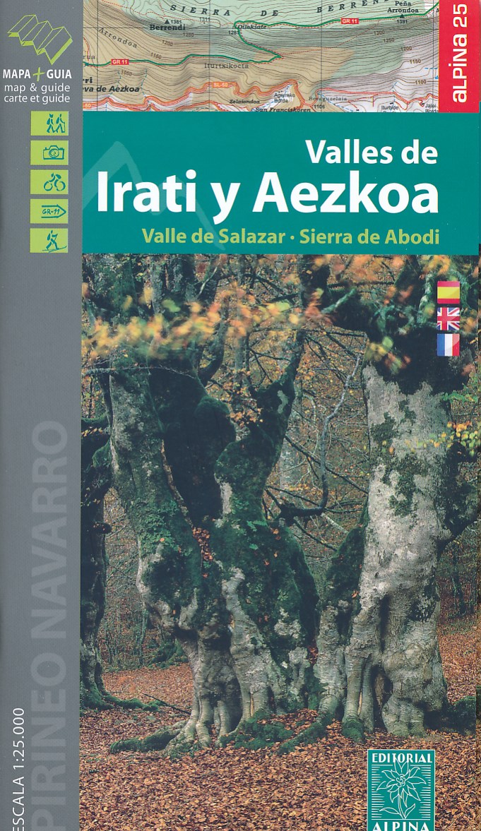
- Wandelkaart 01 Mapa de los Valles de Irati - Aezkoa (Roncesvalles) | Editorial Alpina
- Valles de Irati & Aezkoa in an extensive and very popular series of walking maps from Editorial Alpina covering the Pyrenees, Catalonia and other selected hiking areas in Spain, including Picos de Europa, Sierra Nevada and parts of Andalucía, Majorca, etc. Scales vary from 1:50,000 to 1:10,000, with the majority of the titles at 1:25,000. The... Read more
- Also available from:
- Stanfords, United Kingdom

United Kingdom
- Valles de Irati y Aezkoa Editorial Alpina
- Valles de Irati & Aezkoa in an extensive and very popular series of walking maps from Editorial Alpina covering the Pyrenees, Catalonia and other selected hiking areas in Spain, including Picos de Europa, Sierra Nevada and parts of Andalucía, Majorca, etc. Scales vary from 1:50,000 to 1:10,000, with the majority of the titles at 1:25,000. The... Read more
Netherlands
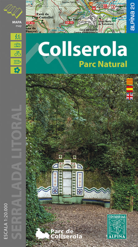
- Wandelkaart 61 Serra de Collserola | Editorial Alpina
- Collserola Natural Park in an extensive and very popular series of walking maps from Editorial Alpina covering the Pyrenees, Catalonia and other selected hiking areas in Spain, including Picos de Europa, Sierra Nevada and parts of Andalucía, Majorca, etc. Scales vary from 1:50,000 to 1:10,000, with the majority of the titles at 1:25,000. The... Read more
- Also available from:
- Stanfords, United Kingdom

United Kingdom
- Collserola Parc Natural Editorial Alpina
- Collserola Natural Park in an extensive and very popular series of walking maps from Editorial Alpina covering the Pyrenees, Catalonia and other selected hiking areas in Spain, including Picos de Europa, Sierra Nevada and parts of Andalucía, Majorca, etc. Scales vary from 1:50,000 to 1:10,000, with the majority of the titles at 1:25,000. The... Read more
Netherlands
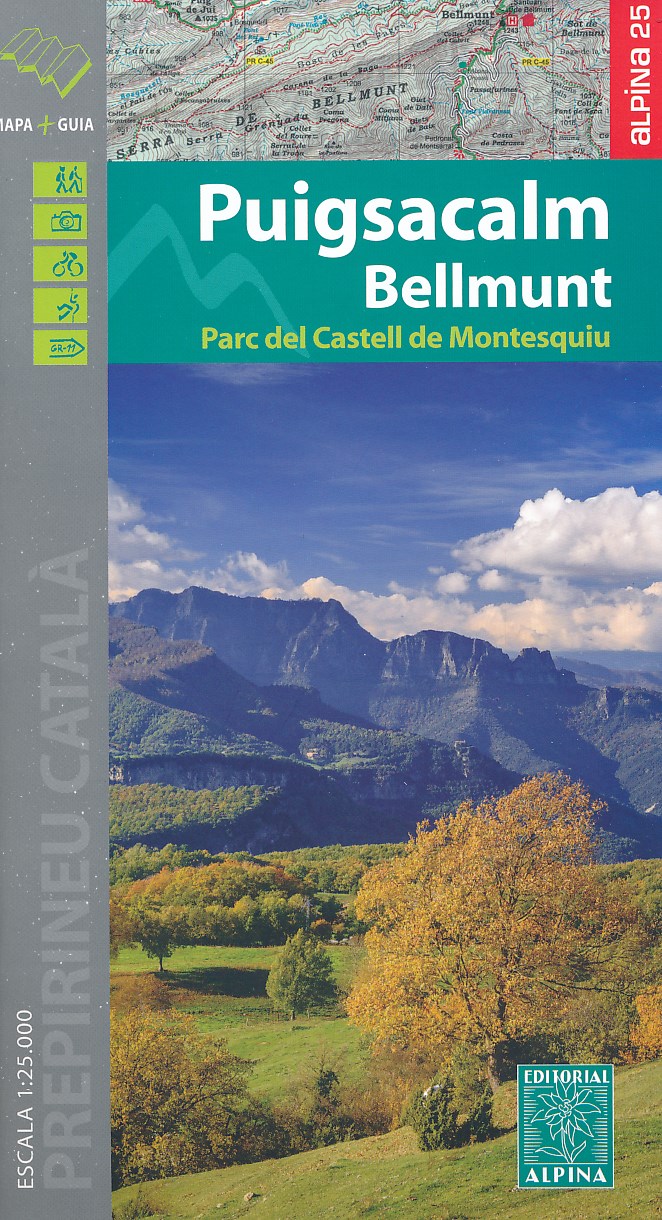
- Wandelkaart 45 Puigsacalm Bellmunt | Editorial Alpina
- Zeer gedetailleerde wandelkaart van een klein deel van de Spaanse Pyreneeen. Met ingetekende wandelroutes en andere informatie. Uitstekende kaart. Met symbolen voor campings, hutten. Op de topografische wandelkaart worden o.a. berghutten, campings aangeduid en hoogtelijnen, ingetekende wandelroutes en de GR paden (doorgaande... Read more
- Also available from:
- Stanfords, United Kingdom
United Kingdom
- Puigsacalm - Bellmunt Editorial Alpina
- Puigsacalm - Bellmunt in an extensive and very popular series of walking maps from Editorial Alpina covering the Pyrenees, Catalonia and other selected hiking areas in Spain, including Picos de Europa, Sierra Nevada and parts of Andalucía, Majorca, etc. Scales vary from 1:50,000 to 1:10,000, with the majority of the titles at 1:25,000. The maps... Read more
Netherlands
2019
Netherlands
2015
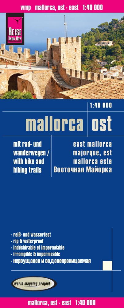
- Wandelkaart - Fietskaart - Wegenkaart - landkaart Mallorca Ost - Mallorca Oost | Reise Know-How Verlag
- Eastern Mallorca at 1:40,000 in a series of four GPS compatible, double-sided maps from Reise Know-How printed on light, waterproof and tear-resistant synthetic paper, with very clear presentation of the road network, plus selected hiking and cycling routes.Maps in this series have contours at 100m intervals, enhanced by altitude colouring,... Read more
- Also available from:
- Stanfords, United Kingdom

United Kingdom
2015
- Mallorca East Reise Know-How
- Eastern Mallorca at 1:40,000 in a series of four GPS compatible, double-sided maps from Reise Know-How printed on light, waterproof and tear-resistant synthetic paper, with very clear presentation of the road network, plus selected hiking and cycling routes.Maps in this series have contours at 100m intervals, enhanced by altitude colouring,... Read more
Netherlands
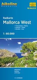
- Fietskaart MALLO01 Bikeline Radkarte Mallorca West | Esterbauer
- Tramuntana - Palma - Andratx - Sóller - Alcúdia - Inca Bikeline Radkarte. 1., Auflage. Read more
Netherlands
2017
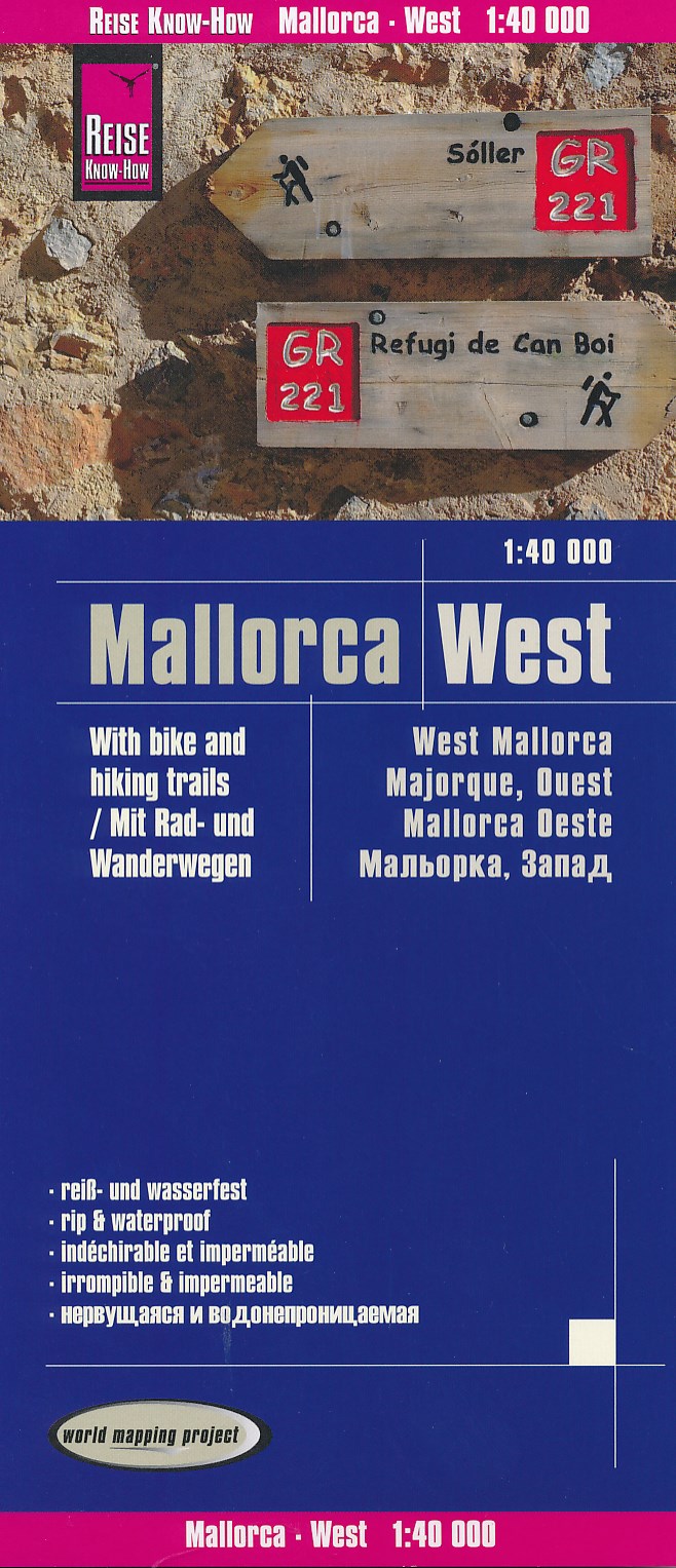
- Wandelkaart - Fietskaart - Wegenkaart - landkaart Mallorca West | Reise Know-How Verlag
- Western Mallorca at 1:40,000 in a series of four GPS compatible, double-sided maps from Reise Know-How printed on light, waterproof and tear-resistant synthetic paper, with very clear presentation of the road network, plus selected hiking and cycling routes.Maps in this series have contours at 100m intervals, enhanced by altitude colouring,... Read more
- Also available from:
- Stanfords, United Kingdom

United Kingdom
2017
- Mallorca West Reise Know-How
- Western Mallorca at 1:40,000 in a series of four GPS compatible, double-sided maps from Reise Know-How printed on light, waterproof and tear-resistant synthetic paper, with very clear presentation of the road network, plus selected hiking and cycling routes.Maps in this series have contours at 100m intervals, enhanced by altitude colouring,... Read more

Netherlands
- Wandelkaart 55 Montseny Parc Natural | Editorial Alpina
- Montseny in an extensive and very popular series of walking maps from Editorial Alpina covering the Pyrenees, Catalonia and other selected hiking areas in Spain, including Picos de Europa, Sierra Nevada and parts of Andalucía, Majorca, etc. Scales vary from 1:50,000 to 1:10,000, with the majority of the titles at 1:25,000. The maps have... Read more
- Also available from:
- Stanfords, United Kingdom

United Kingdom
- Montseny NP - Turo de l`Home - Les Agudas - Matagalls - la Calma Editorial Alpina 2-Map Set
- Montseny in an extensive and very popular series of walking maps from Editorial Alpina covering the Pyrenees, Catalonia and other selected hiking areas in Spain, including Picos de Europa, Sierra Nevada and parts of Andalucía, Majorca, etc. Scales vary from 1:50,000 to 1:10,000, with the majority of the titles at 1:25,000. The maps have... Read more