
Pyrenees
Beschrijving

The Pyrenees form the natural border between Spain and france. The mountain range extends from one sea to the other, from the Atlantic to the Mediterranean, always a good excuse for hikers to symbolically cross over and stay away from home two months.
Of course there is a fan group of the Pyrenees versus one of the Alps. The Pyrenees are very different from the Alps alltogether. There are no large lakes, but many high situated small ones. There are almost no passings over the Pyrenees from France into Spain. The famous exceptions - St Jean-Pied-de-Port and Col de Somport - are used by the Way of St. James, Camino de Santiago.
There are plenty of good hikes, among them the GR10, the Haute Randonnée Pyrénéenne, and - on the Spanish side, the GR11.
Kaart

Paden in deze regio
- Camino AragonésGPX
- Camino de BaztanGPX
- Camino de GironaGPX
- Camino FrancésGPX
- Carros de FocGPX
- E3GPX
- E4GPX
- E7GPX
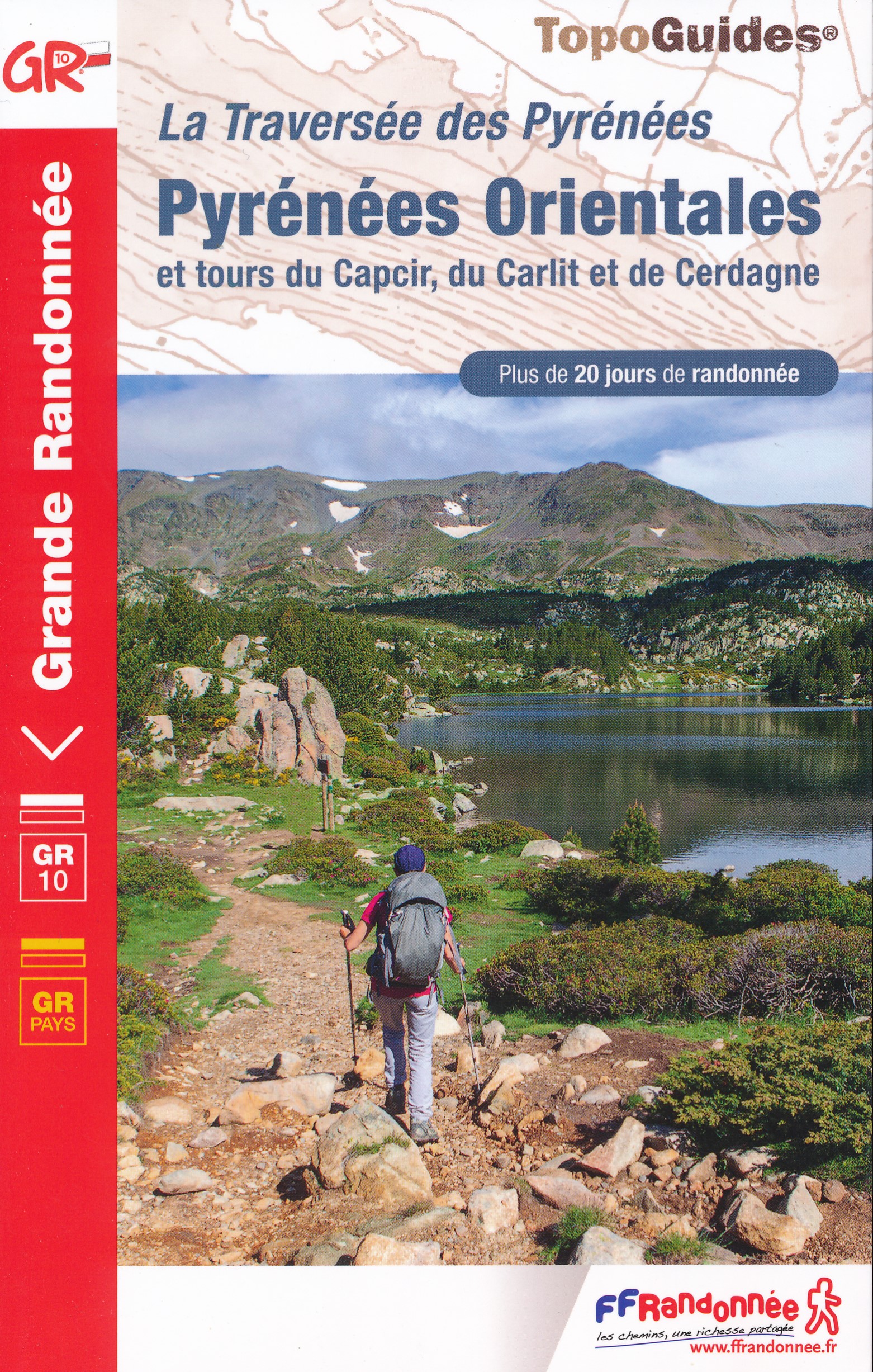
- GR10 - Traversée des PyrénéesGPX
- GR101GPX
- GR107 - El Camí dels Bons HomesGPX
- GR11 Sendero PirenaicoGPX
- GR36 - Traversée du PérigordGPX
- GR65 - Via PodiensisGPX
- GR7GPX
- GR78 - Sentier de PiémontGPX
- GR8GPX
- GR83 - Camí del Nord o del CanigóGPX
- GR86GPX
- HRP - Haute Randonnée PyrénéenneGPX
- Sentier CathareGPX
- Tour du LarzacGPX
- Voie de Lourdes
- Voie du PiémontGPX
Links
Feiten
Verslagen
Gidsen en kaarten
Overnachting
Organisaties
Reisorganisaties
GPS
Anders
Boeken
Netherlands
2015
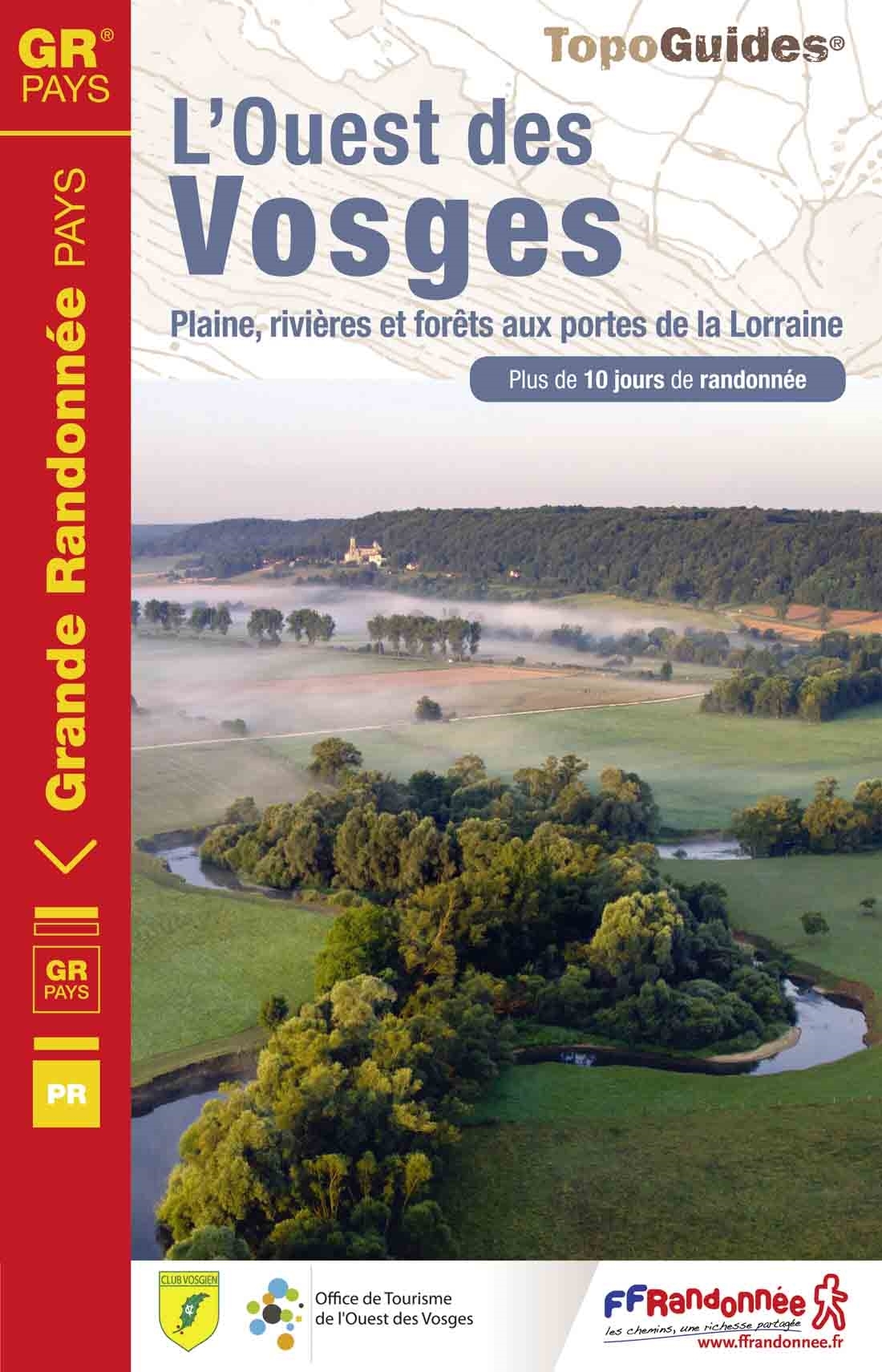
- Wandelgids 881 L'Ouest des Vosges | FFRP
- Guide FFRandonnée l'ouest des Vosges .1 GR® de Pays et 18 balades.Dans l'ouest des Vosges, l'horizon s'adoucit, les résideux cèdent le pas aux feuillus et les nombreux cours d'eau entaillent joliment ce pa... Read more
- Also available from:
- Stanfords, United Kingdom

United Kingdom
2015
- GR de Pays: Ouest des Vosges FFRP Topo-guide No. 881
- Ouest des Vosges, FFRP topoguide Ref. No. 881, covering a hiking circuit from Neufchâtel plus 18 local walks in the western part of the department of Vosges, Current edition of this title was published in July 2015. PLEASE NOTE: the area covered by this guide is not in the Vosges Mountains.ABOUT THE FFRP (Fédération française de la randonnée... Read more
Netherlands
2016
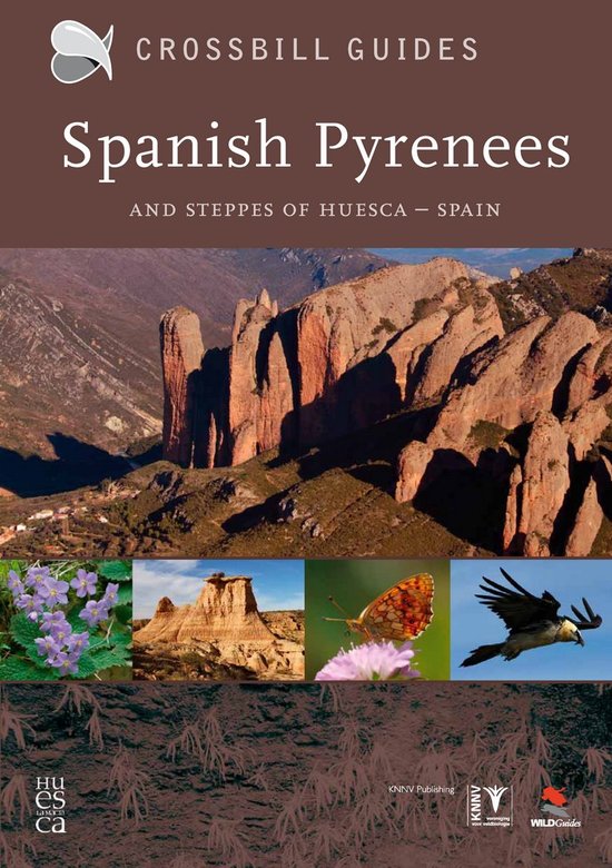
- Natuurgids - Reisgids Crossbill Guides Spanish Pyrenees - Spaanse Pyreneeen | KNNV Uitgeverij
- Een prachtige reisgids over een van de mooiste natuurgebieden, flora en fauna van Spanje: de Spaanse Pyreneeën en Huesca. Rijk geïllustreerd met foto's en kaarten en veel nuttige informatie voor de natuurliefhebber. Onmisbaar voor een unieke natuurvakantie in pure wildernis. Beschrijft de volgende gebieden: Ebro basin, Ebro Valley, Sierra de... Read more
Netherlands
2015
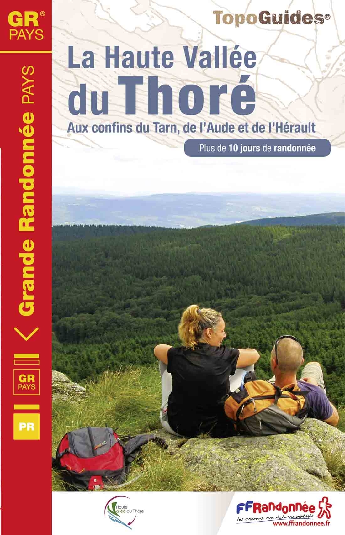
- Wandelgids 812 La Haute Vallée du Thoré | FFRP
- Fout lopen wordt op deze manier wel erg moeilijk. Met symbolen is weergegeven welke voorzieningen (openbaar vervoer / winkels / overnachtingen) er zijn langs of bij de route. Een nadeel is dat de daadwerkelijke adressen dan weer niet altijd genoemd worden. Alle gidsen bevatten een door ons toegevoegde uitgebreide frans nederlandse... Read more
- Also available from:
- Stanfords, United Kingdom

United Kingdom
2015
- GRP: La Haute Vallée du Thoré FFRP Topo-guide No. 812
- La Haute Vallée du Thoré, FFRP topoguide Ref. no. 812, covering an 82 km circuit in the Parc naturel régional du Haut-Languedoc, plus six day walks in the area. Current edition of this title was published in May 2015.ABOUT THE FFRP (Fédération française de la randonnée pédestre) TOPOGUIDES: published in a handy A5 paperback format, the guides... Read more
Netherlands
2023
Netherlands
2018
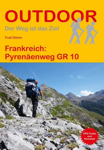
- Wandelgids 216 Pyrenäenweg GR10 - GR 10 | Conrad Stein Verlag
- Handzaam boekje (prettig klein formaat) met de routebeschrijving inclusief een heleboel praktische informatie. De beschrijving is uitstekend, maar kaarten zijn beperkt en schetsmatig aanwezig. Duits. Der GR 10 ist einer der bekanntesten Fernwanderwege Frankreichs. Von Hendaye an der französischen Atlantikküste wandern Sie über 933 km und ca.... Read more
Netherlands
2014
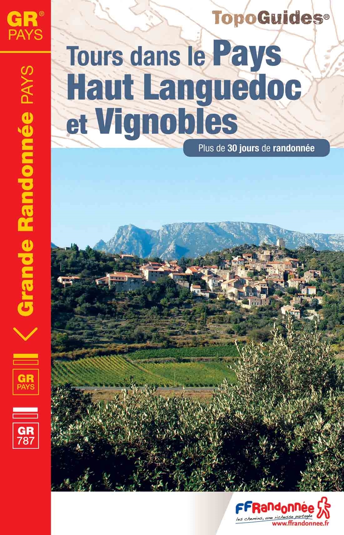
- Wandelgids 3400 Tours dans le Pays Haut Languedoc et Vignobles GR787 | FFRP
- Guide FFRandonnée Tours dans le Pays Haut Languedoc et Vignobles - 3400 - GR, GR Pays, 446 km de sentiers GR. En complément du topo-guide 3481 'Tours dans la montagne du Haut-Languedoc'.Situé en plein cœur du département de l'Aveyron, entre les monts de Lacaune, le Larzac et l'Aubrac, le Lévézou déroule ses collines rêveuses revêtues de... Read more
- Also available from:
- Stanfords, United Kingdom

United Kingdom
2014
- GRP Tours dans le Pays Haut Languedoc et Vignobles FFRP Topo-guide No. 3400
- Tours dans le Pays Haut Languedoc et Vignobles, FFRP topoguide Ref. no. 3400, covering several routes and circuits, over 446kms in all, in the area west of Lodève and Béziers. Current edition of this title was published in May 2014.ABOUT THE FFRP (Fédération française de la randonnée pédestre) TOPOGUIDES: published in a handy A5 paperback... Read more

Netherlands
2014
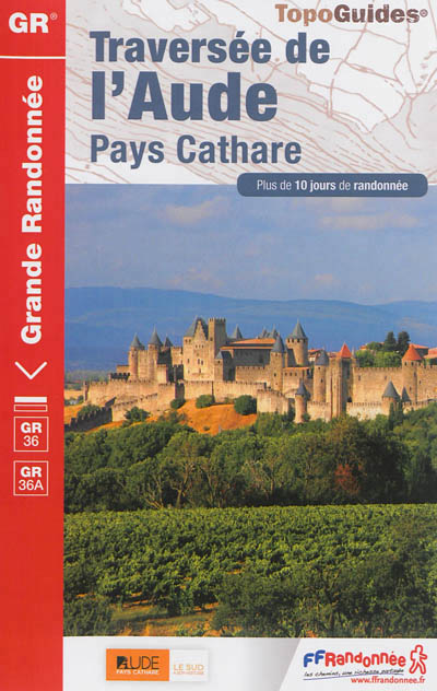
- Wandelgids 360 Traversée de l'Aude - Pays Cathare GR36 - GR36A | FFRP
- Guide FFRandonnée Traversée de l'Aude - Pays Cathare - 360 - GR36 , 36A150 km de sentiers au cœur de l'Occitanie, à la rencontre des richesses naturelles et patrimoniales de l'Aude, Pays Cathare.Cheminant de la Normandie à l'Espagne, le GR® 36 traverse l'Aude de part en part, du nord au sud. Frais ombrages du Canal du Midi, Cité médiévale de... Read more
- Also available from:
- Stanfords, United Kingdom

United Kingdom
2014
- GR36/36A: Traversée de l`Aude - Pays Cathare FFRP Topo-guide No. 360
- Traversée de l`Aude - Pays Cathare, FFRP topoguide Ref. No.360, covering the 150km long GR360 across the department of Aude in south-western France from the Montaigne Noire via Carcassonne to St-Paul-de-Fenouillet in the Pyrenees. Several variants from the southern half of the route offer possibilities for shorter local tours. Current edition... Read more


Netherlands
2015
- Wandelgids 6543 Sentier vers Saint-Jacques-de-Compostelle via Vezelay : Périgueux - Roncevaux - GR654 | FFRP
- Guide FFRandonnée Sentier vers St-Jacques-de-Compostelle : Périgueux-Ronceveaux. GR 654. Voie de Vézelay vers Compostelle : suite de l'itinéraire décrit dans le topo-guide réf. 6542 'Sentier vers St-Jacques-de-Compostelle : Vézelay-Périgueux'.Passé le seuil du Périgord blanc,... Read more
- Also available from:
- Stanfords, United Kingdom

United Kingdom
2015
- GR654 Sentier St-Jacques: Perigueux - Roncevaux FFRP Topo-guide No. 6543
- Sentier St-Jacques: Perigueux - Roncevaux, FFRP topoguide Ref. no. 6543, covering the second part of the Way of St James route along the GR654 which starts in Vézelay, the section from Perigueux to the Pyrenees. Also covered is an eastern route from Bergerac to Montréal-de-Gers. Current edition of this title was published in June 2014.ABOUT THE... Read more

Kaarten

Netherlands
- Wandelkaart - Pelgrimsroute (kaart) 133 Spanischer Jakobsweg | Kompass
- The main route of the Way of St James to Compostela across northern Spain presented at 1:100,000 on a durable, waterproof and tear-resistant map from Kompass, arranged as 26 separate strips, each with a route profile, plus additional street plans of central Logro Read more
- Also available from:
- Stanfords, United Kingdom

United Kingdom
- The Way of St. James to Compostela: Spanish Section
- The main route of the Way of St James to Compostela across northern Spain presented at 1:100,000 on a durable, waterproof and tear-resistant map from Kompass, arranged as 26 separate strips, each with a route profile, plus additional street plans of central Logroño, Burgos, León and Santiago itself.The whole route is covered on 26 panels, each... Read more

Netherlands
2016
- Wandelgids The Cretan Way E4 | Anavasi
- The Cretan Way is a 500km walking route which takes you from east to west across the varied and spectacular landscapes of Crete. It is the ideal way to discover the rural, mountainous and costal regions of this incredible island. This guide is based on a 28-day walk.This guide includes practical information, maps at a scale of 1:25.000 of... Read more
- Also available from:
- Stanfords, United Kingdom

United Kingdom
2016
- The Cretan Way - A 28 Day Walk
- The Cretan Way is a 500km walking route which takes you from east to west across the varied and spectacular landscapes of Crete. It is the ideal way to discover the rural, mountainous and costal regions of this incredible island. This guide is based on a 28-day walk.This guide includes practical information, maps at a scale of 1:25.000 of... Read more

Netherlands
2020
- Wandelatlas - Pelgrimsroute (kaart) 161 Chemins de Compostelle GR65 | Michelin
- Véritable petit atlas détaillant chaque étape avec indications précises concernant les villes de départ et d'arrivée ainsi que pour les localités traversées (auberges, refuges, restaurants, pharmacies, gare, épiceries, Km parcourus, Km restants....).Ce petit atlas suit le chemin du... Read more

Netherlands
- Pelgrimsroute (kaart) - Wandelkaart Camino de Santiago in Spanje | CNIG - Instituto Geográfico Nacional
- All roads leading to Santiago de Compostela in the Iberian Peninsula are represented on this Caminos de Santiago / The Way of St. James Map. Routes highlighted on a physical map of the Iberian Peninsula at 1:1,250,000 from IGN/CNIG, Spain civilian topographic survey organization. The base map with altitude colouring and relief shading provides... Read more
- Also available from:
- Stanfords, United Kingdom

United Kingdom
- Caminos de Santiago / Ways of St. James on the Iberian Peninsula CNIG Overview Map
- All roads leading to Santiago de Compostela in the Iberian Peninsula are represented on this Caminos de Santiago / The Way of St. James Map. Routes highlighted on a physical map of the Iberian Peninsula at 1:1,250,000 from IGN/CNIG, Spain civilian topographic survey organization. The base map with altitude colouring and relief shading provides... Read more
Netherlands
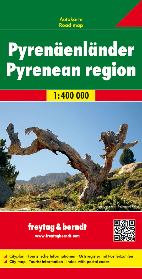
- Wegenkaart - landkaart Pyreneeën Landen | Freytag & Berndt
- Pyrenäenländer 1 : 400 000. Autokarte ab 10.9 EURO Touristische Informationen. Citypläne. Ortsregister mit Postleitzahlen Freytag & Berndt Autokarte. Neuauflage, Laufzeit bis 2018 Read more
Netherlands
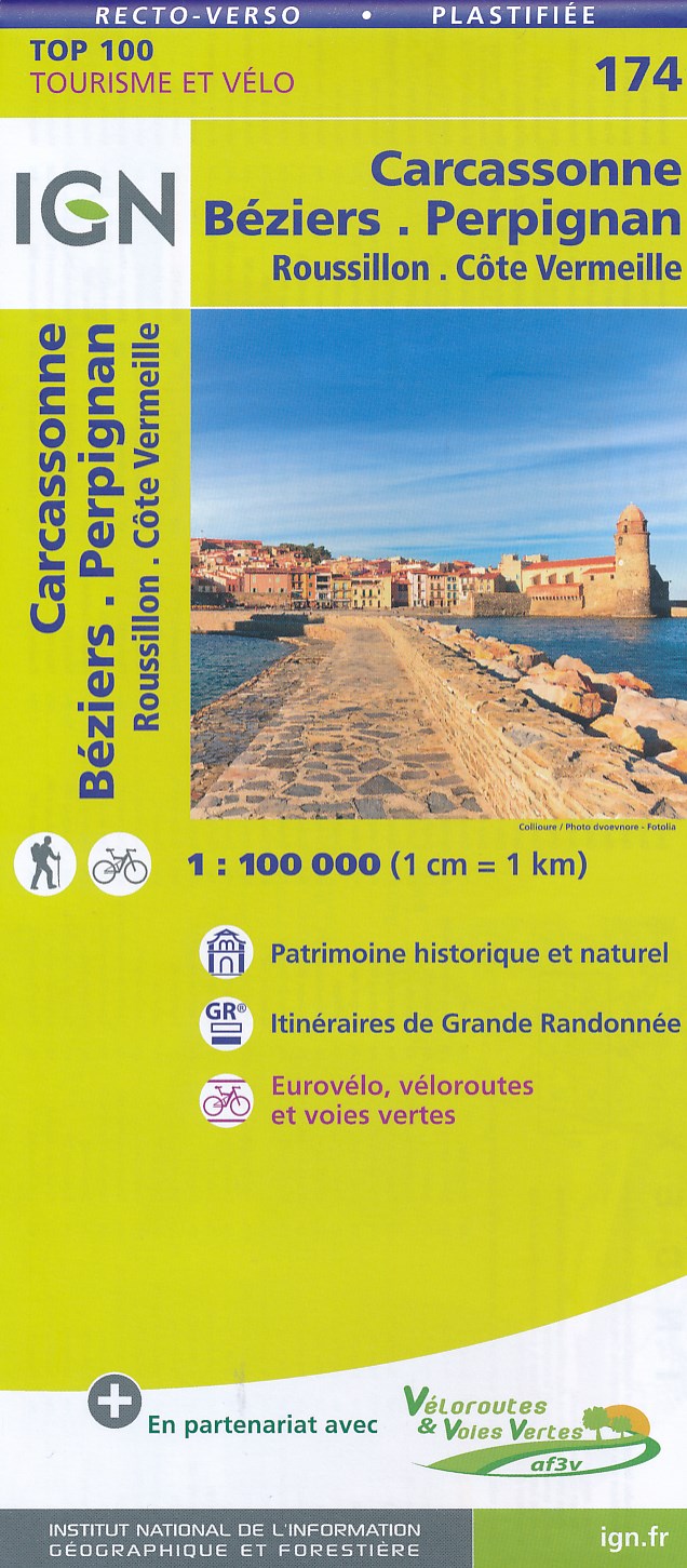
- Fietskaart - Wegenkaart - landkaart 174 Carcassonnne - Béziers - Perpignan | IGN - Institut Géographique National
- Map No. 174, Béziers - Perpignan, at 1:100,000, part of the TOP100 series from the Institut Géographique National (IGN). These exceptionally detailed, contoured and GPS compatible road maps which include English language map legend are ideal for exploring the French countryside by car, by bike, or even on foot. Used by millions of locals and... Read more
- Also available from:
- Stanfords, United Kingdom

United Kingdom
- Carcassonne - Beziers - Perpignan - Roussillon - Cote Vermeille IGN TOP100 174
- Discover the new double-sided laminated edition of TOP100 road maps of France from the Institut Géographique National (IGN); exceptionally detailed, contoured road maps which include the cycle paths and greenways of the AF3V (French Association for the Development of Cycle Paths and Greenways), ideal for exploring the French countryside by car,... Read more

Netherlands
- Wandelkaart Sredna Gora - Bulgarije | Domino
- Pirin Mountains at 1:50,000 on a large, double-sided, contoured map with GPS waypoints for shelters and chalets, peaks, etc. and highlighting hiking routes. Topography is shown by contours at 40m intervals with additional relief shading and graphics and colouring for sandstone stacks, single rocks over 5m high, marshlands and different types of... Read more

Netherlands
- Wandelkaart 06 Couserans - Val D'aran | Rando Editions
- Uitstekende wandelkaart met veel toeristische informatie en bijzonder gedetailleerd. Wandelroute en hutten / campings zijn ingetekend, met hoogtelijnen. Andere dorpen op deze kaart: PN d'Aigües Tortes - St. Girons - Massat - Guzet Neige - Aulus les Bains (Frankrijk - Pyreneeen). GPS Compatible Read more
- Also available from:
- Stanfords, United Kingdom

United Kingdom
- Couserans-Val d`Aran Rando Editions 6
- The Couserans region of the French Pyrenees, from St-Girons to Pic de Maubermé and Pica d’Estats, on a contoured and GPS compatible map at 1:50,000 from Rando Editions with topographic base provided by the IGN, highlighting local and long-distance hiking trails, etc. Topography is vividly presented by contours at 20m intervals enhanced by... Read more
- Also available from:
- Stanfords, United Kingdom

United Kingdom
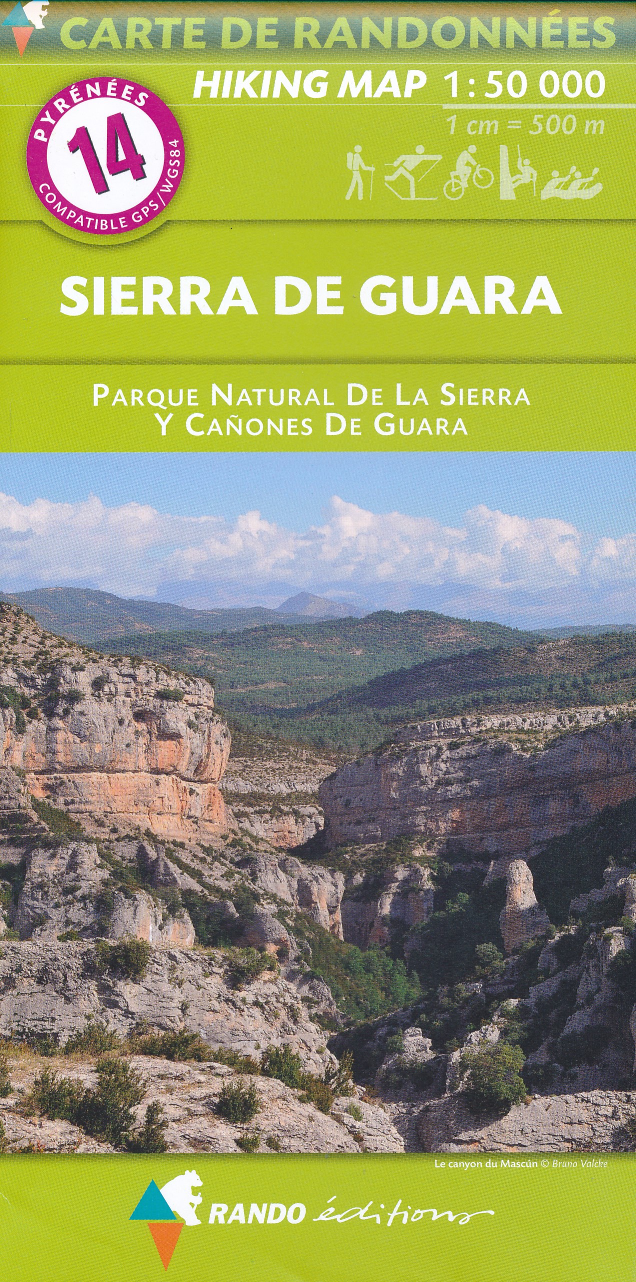
- Sierra de Guara - PN Sierra y Canones de Guara Rando Editions 14
- 1:50,000 Walking Maps of the Spanish Pyrenees based on IGN cartography. GPS Compatible.Contains tourist information such as walking, hiking and biking routes, as well as huts and camping sites. Read more
Netherlands
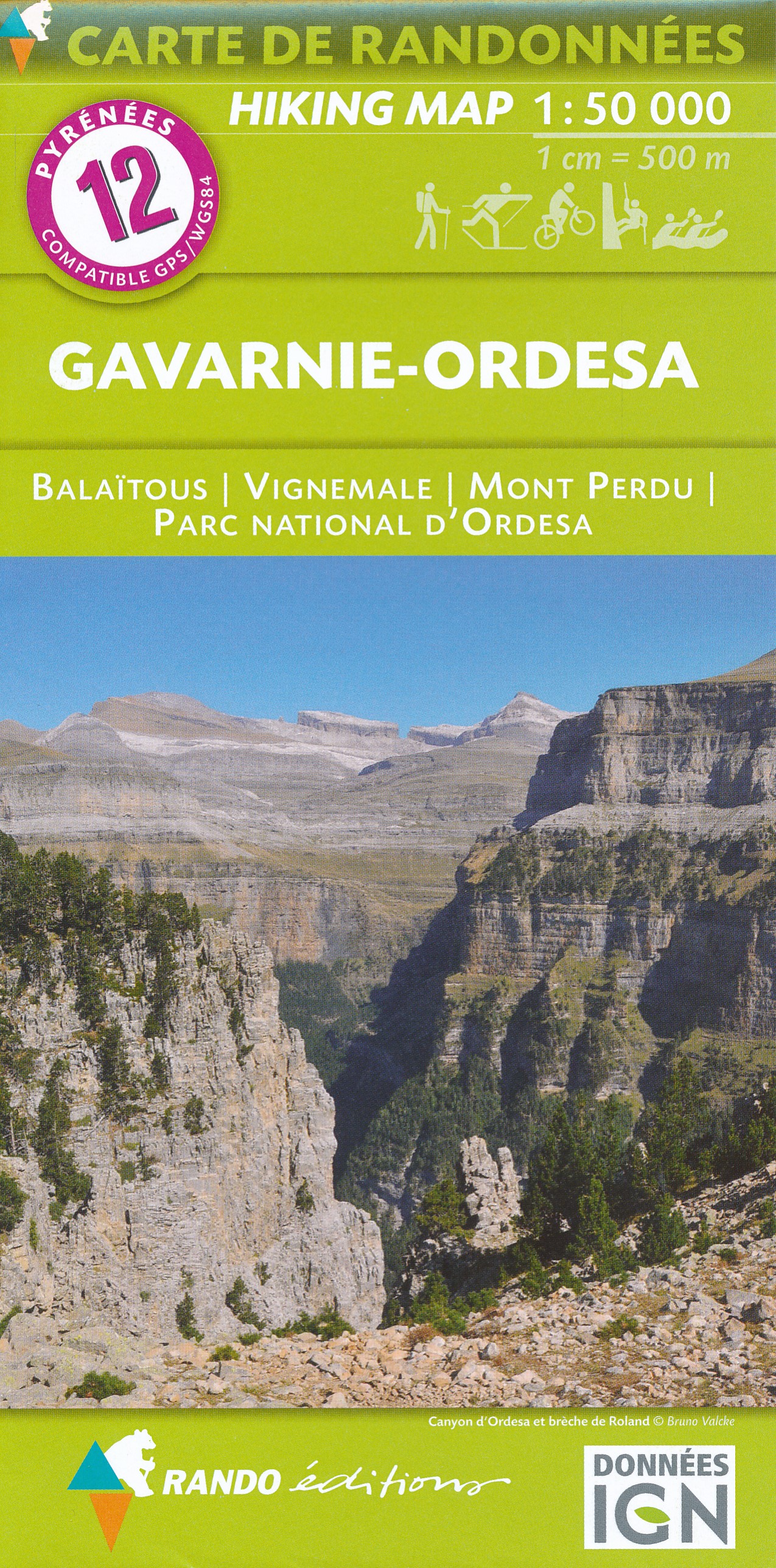
- Wandelkaart 12 Gavarnie - Ordesa | Rando Editions
- Uitstekende wandelkaart met veel toeristische informatie en bijzonder gedetailleerd. Wandelroutes en hutten / campings zijn ingetekend, met hoogtelijnen. GPS Compatible Met Balaitous, Vignemale, Mont Perdu, Parc National d' Ordesa IGN based cartography Topography shown by hill shading and contours Hiking and biking routes Refuges and other... Read more
Netherlands
- Also available from:
- Stanfords, United Kingdom

United Kingdom
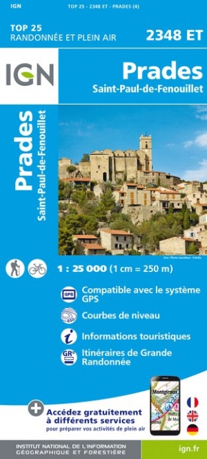
- Prades - Saint-Paul-de-Fenouillet IGN 2348ET
- Topographic survey of France at 1:25,000 in IGN`s excellent TOP25 / Série Bleue series. All the maps are GPS compatible, with a 1km UTM grid plus latitude and longitude lines at 5’ intervals. Contours are at 5m intervals except for mountainous areas where the maps have contours at 10m intervals, vividly enhanced by hill shading and graphics for... Read more

Netherlands
- Wandelkaart 6 Pirin gebergte | Domino
- Pirin Mountains at 1:50,000 on a large, double-sided, contoured map with GPS waypoints for shelters and chalets, peaks, etc. and highlighting hiking routes. Topography is shown by contours at 40m intervals with additional relief shading and graphics and colouring for sandstone stacks, single rocks over 5m high, marshlands and different types of... Read more
- Also available from:
- Stanfords, United Kingdom

United Kingdom
- Pirin Mountains Domino
- Pirin Mountains at 1:50,000 on a large, double-sided, contoured map with GPS waypoints for shelters and chalets, peaks, etc. and highlighting hiking routes. Topography is shown by contours at 40m intervals with additional relief shading and graphics and colouring for sandstone stacks, single rocks over 5m high, marshlands and different types of... Read more
- Also available from:
- Stanfords, United Kingdom

United Kingdom
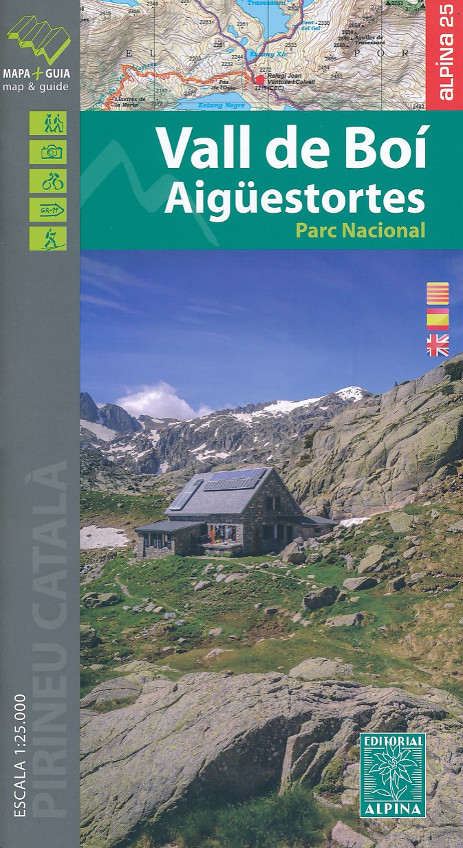
- Vall de Boí - Aigüestortes PN Editorial Alpina
- Vall de Boi area of the Spanish Pyrenees, including the western half of the Aigüestortes i Estany de Sant Maurici National Park, presented on a contoured and GPS compatible map at 1:25,000 from Editorial Alpina. The map has contours at 10m intervals, enhanced by relief shading with plenty of spot heights, plus colouring for different types of... Read more
Netherlands
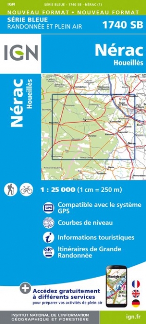
- Wandelkaart - Topografische kaart 1740SB Nérac | IGN - Institut Géographique National
- Topographic survey of France at 1:25,000 in IGN`s excellent TOP25 / Série Bleue series. All the maps are GPS compatible, with a 1km UTM grid plus latitude and longitude lines at 5’ intervals. Contours are at 5m intervals except for mountainous areas where the maps have contours at 10m intervals, vividly enhanced by hill shading and graphics for... Read more
- Also available from:
- Stanfords, United Kingdom

United Kingdom
- Nerac - Houeilles IGN 25K Série Bleue Map 1740SB
- Topographic survey of France at 1:25,000 in IGN`s excellent TOP25 / Série Bleue series. All the maps are GPS compatible, with a 1km UTM grid plus latitude and longitude lines at 5’ intervals. Contours are at 5m intervals except for mountainous areas where the maps have contours at 10m intervals, vividly enhanced by hill shading and graphics for... Read more