
Zwitserland
Beschrijving

For the ultimate alpine experience, Switzerland is the place to be. Matterhorn, Jungfrau, Monte Rosa or Piz Bernina, these are just a few of the fifty peaks over four-thousand meters high. Famous massifs include Berner Oberland, Wallis (Valais) and Jura, and there are many, many more. Wintertime is for the skiing jet-set of course, but in summer, from July until September, hiking trails and mountain huts are open all across the country. Popular are the regions of Valais (Wallis) with the Jungfrau and the Aletsch glacier, Graubünden in the east, Tessin (Ticino) in the south, and Fribourg in the west.
There are 6 official national long distance hiking trails, and 53 regional long distance trails. This number is growing. European long distance trail E1, E2 (small tip), E4 and E5 pass through Switzerland, coinciding with national trails. The Swiss Alps are literally strewn with more than 150 excellent mountain huts for hikers to stay overnight and have a meal. In the height of summer the huts in popular regions can get crowded. Given all the information available on the internet, in guide-books and on maps, you can easily plan your own hiking itinerary from hut to hut, combining day-hikes into a multi-day itinerary ranging from an easy hike with kids to crossing glaciers in full gear for the experienced mountaineer.
In addition, no other country in Europe is so completely neat and orderly as Switzerland. Truly everything is well-organized, from cable cars to accommodation, from trail maintenance to waymarking, from maps and guidebooks to around the clock alpine rescue from the air. The Swiss Alpine Club even boasts the world's most futuristic mountain hut, the dazzling New Monte Rosa Hut, to be opened late in 2009. If it were possible to order fine weather in advance, the Swiss would surely be the first to offer this service.
Kaart


Paden
- Aargauer WegGPX
- Aletsch PanoramawegGPX
- Alpenkranz Uri
- Alpenpanorama-WegGPX
- AlpenpässewegGPX
- Ämtlerweg
- Berner Voralpenweg
- Bodensee RundwegGPX
- Chemin des BissesGPX
- Chemin des Trois LacsGPX
- Chemin du Jura BernoisGPX
- Chemin du VignobleGPX
- DreiländerwegGPX
- E1GPX
- E4GPX
- E5GPX
- EmmenuferwegGPX
- Freiburger VoralpenwegGPX
- Furka HöhenwegGPX
- GR5GPX
- Grenzpfad NapfberglandGPX
- Haute Route Chamonix-ZermattGPX
- Höhenweg Zürich - Gotthard
- Heidiland Wandertour
- Hintere Gasse
- Jakobsweg Waldshut-Vézelay
- Jura HöhenwegGPX
- Kesch Trek
- Klettgau-Rhein-WegGPX
- Lötschberg PanoramawegGPX
- Mittelbünden PanoramawegGPX
- Nationalpark PanoramawegGPX
- Obwaldner HöhenwegGPX
- Pragelpass-WegGPX
- Prättigauer HöhenwegGPX
- Rätikon Höhenweg
- Rheintaler HöhenwegGPX
- Sanetsch Muveran WegGPX
- Santiago de Compostela Pilgrims WayGPX
- Schanfigger HöhenwegGPX
- Schwyzer HöhenwegGPX
- Seeland-Soloturn Weg
- Senda SegantiniGPX
- Senda SursilvanaGPX
- Sentiero CristallinaGPX
- Sentiero Lago di LuganoGPX
- Sentiero VerzascaGPX
- Thurgauer PanoramawegGPX
- ThurwegGPX
- TMB - Tour du Mont BlancGPX
- Tour de Delémont
- Tour des CombinsGPX
- Tour des Dents du MidiGPX
- Tour des Grands Barrages
- Tour du Augstbordhorn
- Tour du Jungfrau
- Tour du MatterhornGPX
- Tour du Saint-BernardGPX
- Tour du Val de BagnesGPX
- Tour du WildhornGPX
- Tour Monte RosaGPX
- Tour Val d'HérensGPX
- Trans-Swiss TrailGPX
- Via AlpinaGPX
- Via EngiadinaGPX
- Via FrancigenaGPX
- Via GebennensisGPX
- Via JacobiGPX
- Via Jura
- Via Jura Regio
- Via RhenanaGPX
- Via SbrinzGPX
- Via SplugaGPX
- Via StockalperGPX
- Via ValtellinaGPX
- Walliser SonnenwegGPX
- WALSA-wegGPX
- WalserwegGPX
- Weg der SchweizGPX
- Weissenstein-Wasserfallen Weg
- Züri Oberland HöhenwegGPX
- Zürich-Zugerland PanoramawegGPX
Regios
- Adula Alpen
- Albula Alpen
- Alpi di Livigno
- Alps
- Appenzeller und St. Galler Voralpen
- Bergell
- Berner Alpen
- Berner Oberland
- Berner Voralpen
- Bernina
- Bodensee
- Chablais
- Diablerets
- Engadin
- Giffre
- Glarner Alpen
- Grand Combin
- Graubünden
- Gruyère
- Jura
- Lac Léman
- Lago Maggiore
- Luzerner und Unterwaldner Voralpen
- Matterhorn
- Mischabel
- Mont Blanc
- Monte Leone
- Monte Rosa
- Ortler
- Platta Gruppe
- Plessur Alpen
- Prättigau
- Prealpi Luganesi
- Rätikon
- Samnaun
- Schwyzer und Urner Voralpen
- Sesvenna Gruppe
- Silvretta
- Surselva
- Ticino
- Urner Alpen
- Vierwaldstätter See
- Voralpen von Waadt und Freiburg
- Waadtländer Alpen
- Wallis
- Weisshorn
- Weissmies
- Zürichsee
Bergen
- Albis
- Aletschhorn
- Allalinhorn
- Alperschällihorn
- Alphubel
- Altmann
- Aubrig
- Bachtel
- Badus
- Balmhorn
- Bös Fulen
- Bietschhorn
- Bifertenstock
- Blüemlisalp
- Breithorn
- Breithorn VS
- Brienzer Rothorn
- Brisi
- Bruschghorn
- Burgfeldstand
- Castor
- Chöpfenberg
- Clariden
- Dammastock
- Dent Blanche
- Dents du Midi
- Dirruhorn
- Doldenhorn
- Dom
- Dreiländerspitze
- Dufourspitze
- Eiger
- Finsteraarhorn
- Gäbris
- Glärnisch
- Grand Combin
- Gross Schärhorn
- Gross Windgällen
- Gspaltenhorn
- Haldensteiner Calanda
- Hausstock
- Hüser
- Hinterrugg
- Hochflue (Rigi)
- Hochwang
- Hoh Brisen
- Hohgant
- Hundwiler Höhi
- Jungfrau
- Kleiner Mythen
- Kronberg
- Lagginhorn
- Lägern
- Les Diablerets
- Liskamm
- Ludwigshöhe
- Matterhorn
- Mönch
- Mürtschenstock
- Moleson
- Monte Basòdino
- Monte Generoso
- Monte Leone
- Monte San Giorgio
- Monte San Salvatore
- Monte Tamaro
- Morgenberghorn
- Mythen, Grosser
- Nadelhorn
- Napf
- Nesthorn
- Niederbauen Chulm
- Niesen
- Oberalpstock
- Ortstock
- Parrotspitze
- Pfannenstiel
- Pilatus
- Piz Bernina
- Piz Beverin
- Piz Buin
- Piz Caschleglia
- Piz Curvér
- Piz Daint
- Piz Ela
- Piz Fess
- Piz Forbesch
- Piz Mitgel
- Piz Morteratsch
- Piz Roseg
- Piz Segnas
- Piz Surlej
- Piz Terri
- Piz Toissa
- Piz Zupò
- Pizzo Campo Tencia
- Pizzo Tambo
- Rautispitz
- Regitzer Spitz
- Rheinwaldhorn
- Rienzenstock
- Rigi-Kulm
- Rinderhorn
- Rossberg
- Säntis
- Schilthorn
- Schrattenfluh
- Schreckhorn
- Signalkuppe
- Sigriswiler Rothorn
- Six Madun
- Speer
- Stanserhorn
- Stockhorn
- Sustenhorn
- Täschhorn
- Tödi
- Tinzenhorn
- Titlis
- Tomlishorn
- Tour Sallière
- Tweralpspitz
- Vanil Noir
- Wasenhorn
- Weisshorn
- Weissmies
- Wildhorn
- Wildstrubel
- Wissigstock
- Zinalrothorn
- Zumsteinspitze


Links
Feiten
Verslagen
Gidsen en kaarten
Overnachting
Organisaties
Reisorganisaties
GPS
Anders
Boeken
Netherlands
2020
- Reisgids Reise-Taschenbuch Dresden und Sächsische Schweiz | Dumont
- Kunstschätze von Weltrang, prächtige Barockbauten und die Weite der Elbwiesen – Dresden ist eine Stadt der Superlative. Eilige Leser erfahren im Einstiegskapitel „Dresden persönlich – meine Tipps´´, was unbedingt zu einem Elbflorenz-Besuch dazu gehört, welche Museen einen Besuch lohnen, wo sich gut einkaufen lässt und wie man am besten in die... Read more
Netherlands
2019

Netherlands
2017
- Wandelgids Bärentrek - Zwitserland | Conrad Stein Verlag
- Kleine wandelgids met veel praktische informatie. Kaartmateriaal is erg beperkt. Im Berner Oberland drängt sich auf engstem Raum eine der berühmtesten Bergwelten zusammen, darunter das viel bestaunte Gipfeltrio von Eiger, Mönch & Jungfrau. Allein im östlichen Teil der Berner Alpen recken 8 der insgesamt 47 Schweizer Viertausender ihre... Read more
Netherlands
2018
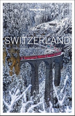
- Reisgids Best of Switzerland - Zwitserland | Lonely Planet
- De nieuwste reisgidsen-serie van Lonely Planet: een luxe uitgave met als titel 'the Best of ... ' waarin aandacht voor de belangrijkste niet te missen hoogtepunten van het land. Ook hier wordt het kort en bondig geschreven met veel praktische informatie erbij als eten-drinken en vervoer. De lijst met accommodaties - zoals bij de gewone Planets... Read more
Netherlands
2020
Netherlands
2023
Netherlands
2022
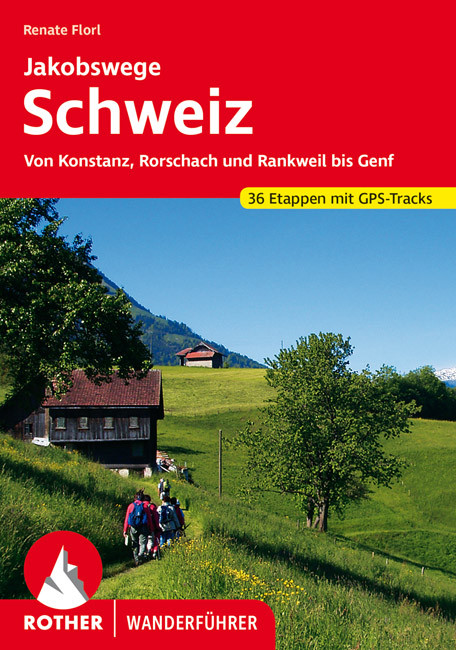
- Wandelgids Jakobswege Schweiz (Jakobsweg Zwitserland) | Rother Bergverlag
- Deze wandelgids beschrijft de Jakobsweg van Koblenz, Rorschach en Rankweil (Oostenrijk) bij Geneve en aan de Franse grens. Het geheel is opgedeeld in 36 etappes die precies beschreven zijn en aangevuld met goeie wandelkaartjes en GPS tracks (te downloaden). Overnachtingsmogelijkheden, bezienswaardigheden en achtergrondinformatie maken dit... Read more
Netherlands
2015
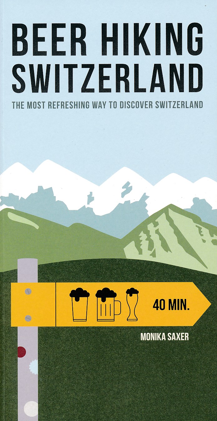
- Wandelgids Beer Hiking Switzerland | Helvetiq
- The Most Refreshing Way to Discover Switzerland Read more
Netherlands
2022
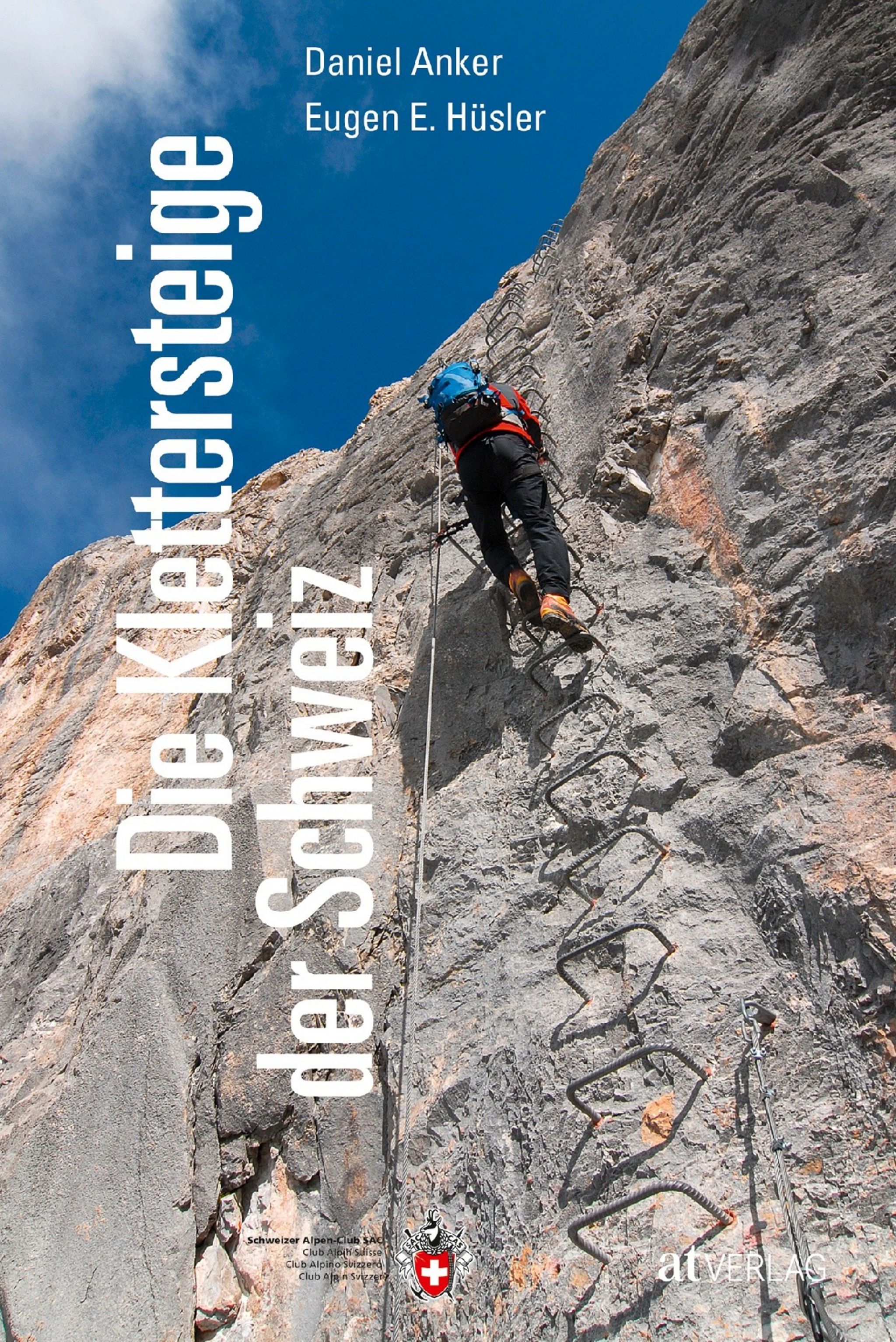
- Klimgids - Klettersteiggids Klettersteige Schweiz | Rother Bergverlag
- Alle 42 Klettersteige sowie die 24 schönsten gesicherten Wege, darunter eine 5-Tages-Tour Rother Wanderführer. 4., erweiterte und aktualisierte Auflage. Read more
Kaarten
Netherlands
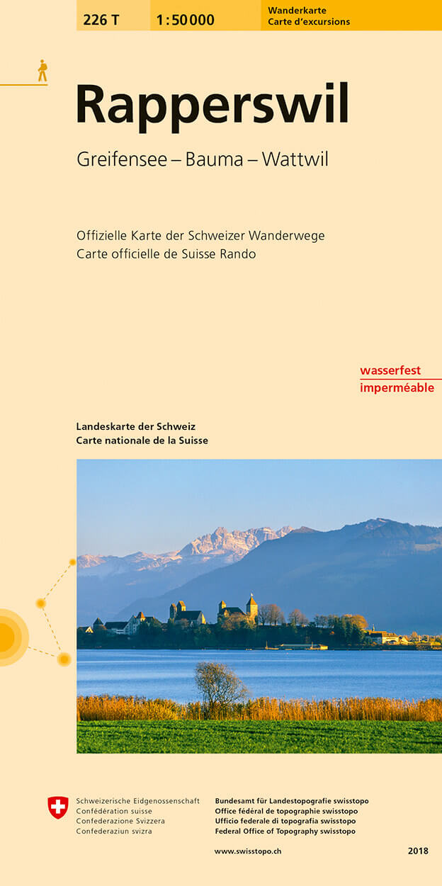
- Wandelkaart 226T Rapperswil | Swisstopo
- Rapperswil area, map No. 226T, at 1:50,000 in a special hiking edition of the country Read more
- Also available from:
- Stanfords, United Kingdom

United Kingdom
- Rapperswil Swisstopo Hiking 226T
- Rapperswil area, map No. 226T, at 1:50,000 in a special hiking edition of the country’s topographic survey, published by Swisstopo in cooperation with the Swiss Hiking Federation. Cartography, identical to the standard version of the survey, is highly regarded for its superb use of graphic relief and hill shading to provide an almost 3-D... Read more
Netherlands
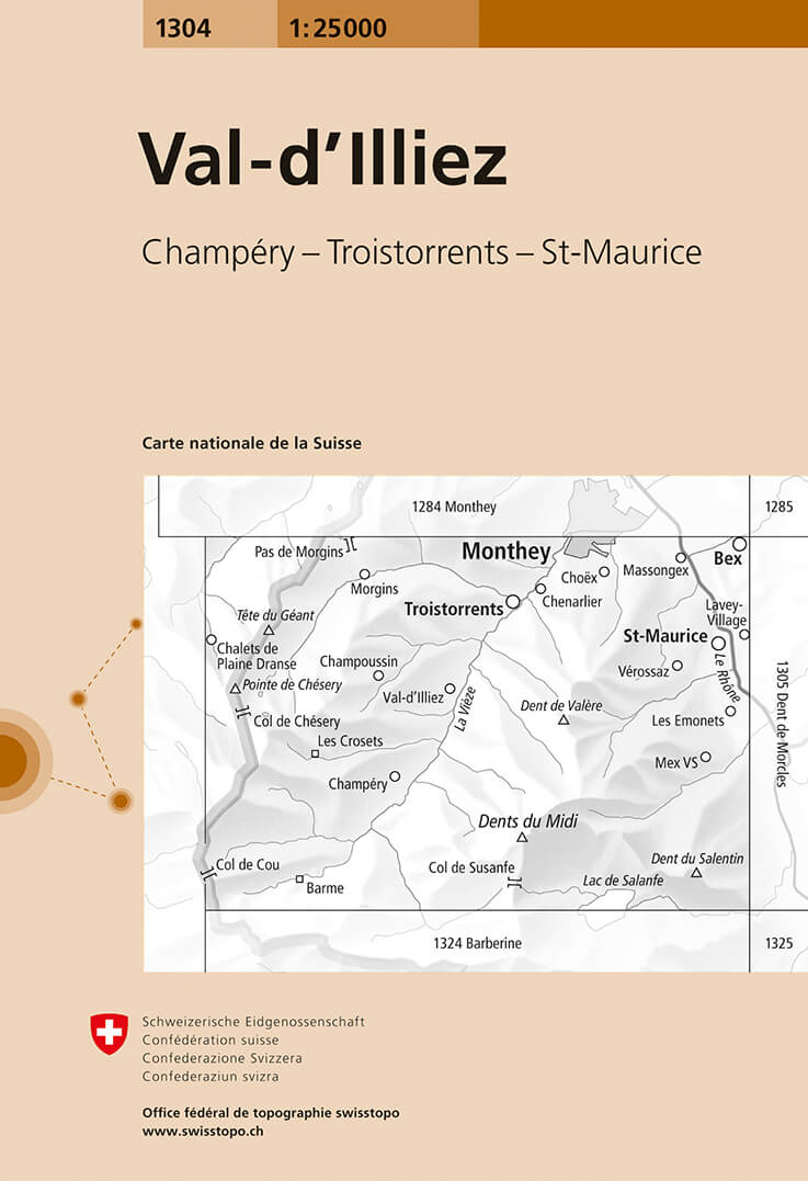
- Wandelkaart - Topografische kaart 1304 Val-d'Illiez, Morgins | Swisstopo
- Map No. 1304, Val-d'Illiez, in the topographic survey of Switzerland at 1:25,000 from Bundesamt f Read more
- Also available from:
- Stanfords, United Kingdom

United Kingdom
- Val-d`Illiez Swisstopo 1304
- Map No. 1304, Val-d`Illiez, in the topographic survey of Switzerland at 1:25,000 from Bundesamt für Landestopographie (swisstopo), covering the whole country on 247 small format sheets, with special larger maps published for popular regions including some titles now available in hiking versions.Highly regarded for their superb use of graphic... Read more
Netherlands
- Wandelkaart - Topografische kaart 5007 Locarno - Lugano | Swisstopo
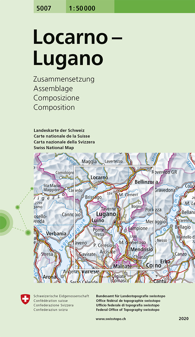
- Locarno - Lugano area, map No. 5007, in the standard topographic survey of Switzerland at 1:50,000 from Swisstopo, i.e. without the special overprint highlighting walking trails, local bus stops, etc, presented in Swisstopo Read more
- Also available from:
- Stanfords, United Kingdom

United Kingdom
- Locarno - Lugano Swisstopo 5007
- Locarno - Lugano area, map No. 5007, in the standard topographic survey of Switzerland at 1:50,000 from Swisstopo, i.e. without the special overprint highlighting walking trails, local bus stops, etc, presented in Swisstopo’s hiking editions of the 50K survey. Highly regarded for their superb use of graphic relief and hill shading, the maps... Read more
Netherlands
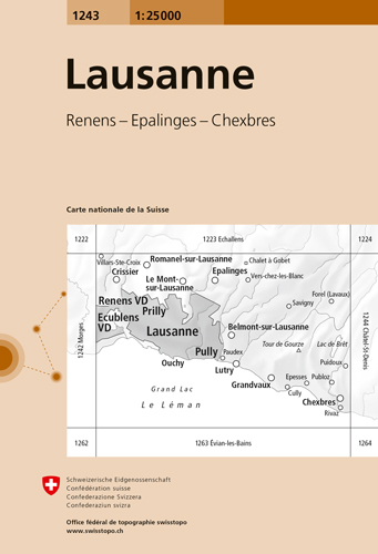
- Wandelkaart - Topografische kaart 1243 Lausanne | Swisstopo
- Map No. 1243, Lausanne, in the topographic survey of Switzerland at 1:25,000 from Bundesamt f Read more
- Also available from:
- Stanfords, United Kingdom

United Kingdom
- Lausanne Swisstopo 1243
- Map No. 1243, Lausanne, in the topographic survey of Switzerland at 1:25,000 from Bundesamt für Landestopographie (swisstopo), covering the whole country on 247 small format sheets, with special larger maps published for popular regions including some titles now available in hiking versions.Highly regarded for their superb use of graphic relief... Read more
Netherlands
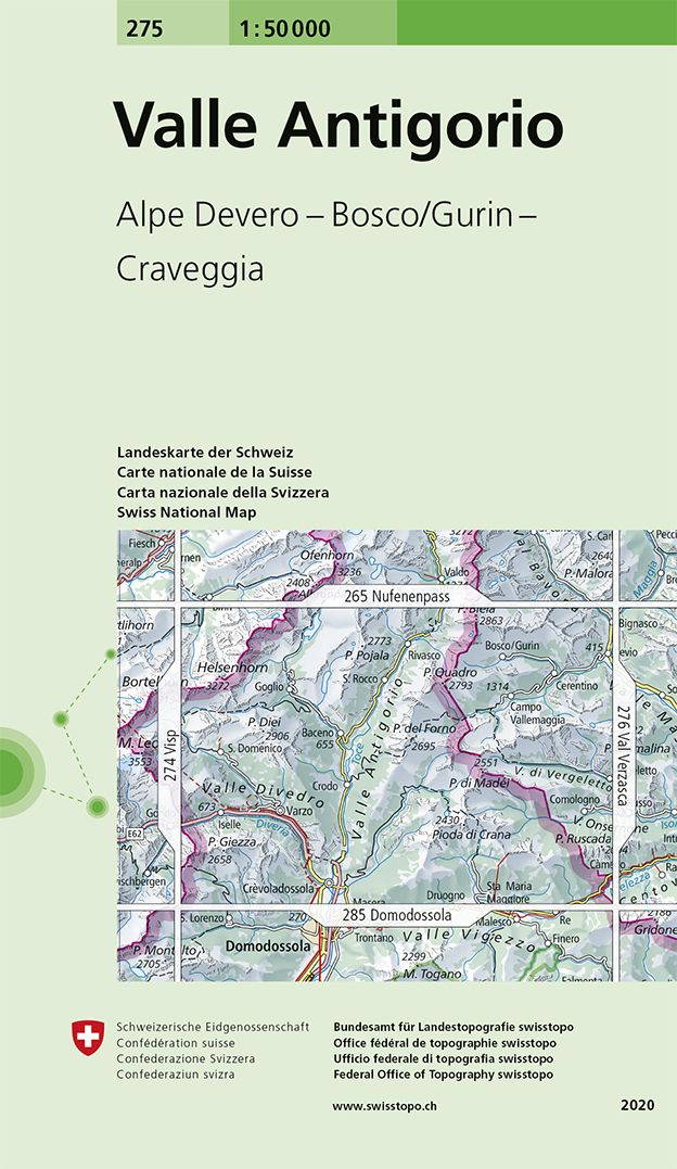
- Wandelkaart - Topografische kaart 275 Valle Antigorio | Swisstopo
- Valle Antigorio, map No. 275, in the standard topographic survey of Switzerland at 1:50,000 from Swisstopo, i.e. without the special overprint highlighting walking trails, local bus stops, etc, presented in Swisstopo Read more
- Also available from:
- Stanfords, United Kingdom

United Kingdom
- Valle Antigorio Swisstopo 275
- Valle Antigorio, map No. 275, in the standard topographic survey of Switzerland at 1:50,000 from Swisstopo, i.e. without the special overprint highlighting walking trails, local bus stops, etc, presented in Swisstopo’s hiking editions of the 50K survey. The map covers mainly the Italian side of the border.Highly regarded for their superb use of... Read more
Netherlands
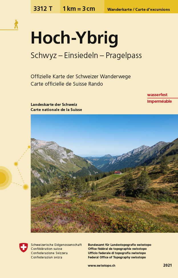
- Wandelkaart - Topografische kaart 3312T Hoch-Ybrig | Swisstopo
- Een nieuwe serie van de Zwitserse topografische dienst: eindelijk goede wandelkaarten met ingetekende wandelroutes op scheur- en watervast papier. Vooralsnog zijn ze uitgebracht van de populaire wandelgebieden en niet landelijk dekkend (zie overzicht) Op een gedetailleerde schaal van 1:33.333 met als ondergrond de onovertroffen topografische... Read more
- Also available from:
- Stanfords, United Kingdom

United Kingdom
- Hoch-Ybrig Swisstopo Hiking 3312T
- Hoch-Ybrig area at 1:33,333 on light, waterproof and tear-resistant map No. 3312T published by Swisstopo in cooperation with the Swiss Hiking Federation. Cartography is the same as in Swisstopo’s 50K hiking maps, simply enlarged to 1:33,333 for extra clarity but without additional information.1:33,333 editions of Swisstopo’s hiking maps have... Read more
Netherlands
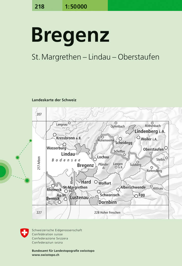
- Wandelkaart - Topografische kaart 218 Bregenz | Swisstopo
- Bregenz, map No. 218, in the standard topographic survey of Switzerland at 1:50,000 from Swisstopo, i.e. without the special overprint highlighting walking trails, local bus stops, etc, presented in Swisstopo Read more
- Also available from:
- Stanfords, United Kingdom

United Kingdom
- Bregenz Swisstopo 218
- Bregenz, map No. 218, in the standard topographic survey of Switzerland at 1:50,000 from Swisstopo, i.e. without the special overprint highlighting walking trails, local bus stops, etc, presented in Swisstopo’s hiking editions of the 50K survey. The map covers mainly the Austrian side of the border, plus the Bavarian side of Lake Constance with... Read more
Netherlands
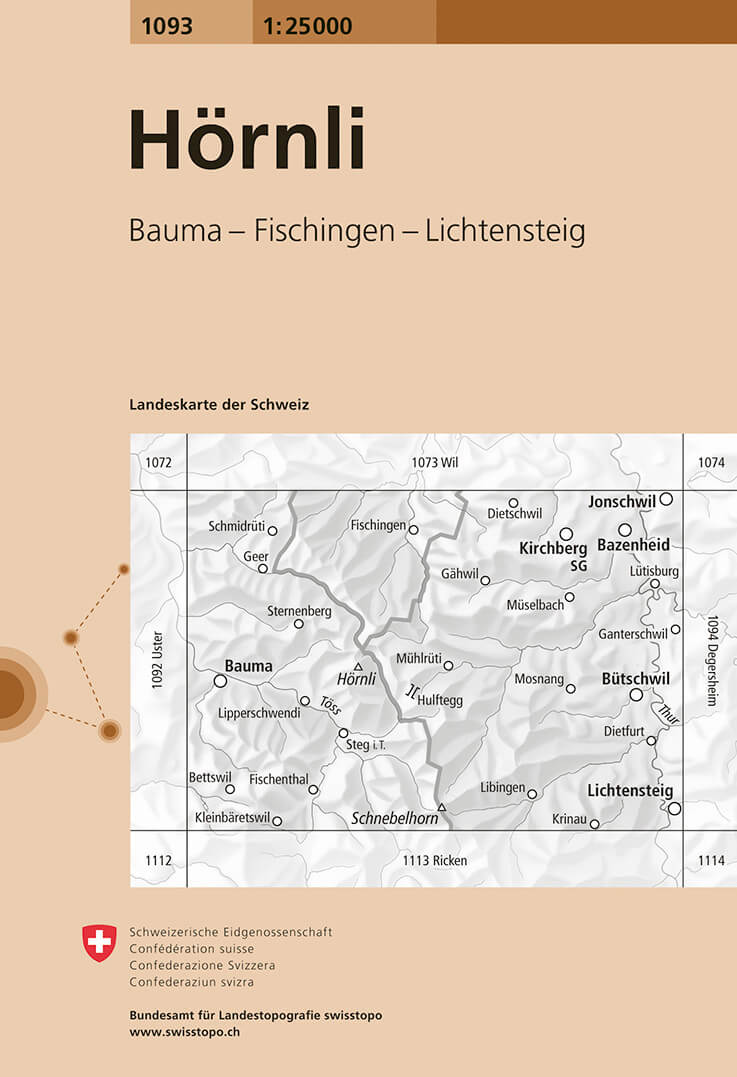
- Wandelkaart - Topografische kaart 1093 Hörnli | Swisstopo
- Zeer gedetailleerde wandelkaart van een deel van Zwitserland. De topografische details van deze kaarten zijn onovertroffen; de werkelijkheid is perfect weergegeven op deze kaart van uitzonderlijk hoog niveau. Ze zijn geschikt voor alle soorten gebruik: voor eenvoudige wandeltochten in simpel terrein tot zware bergtochten en beklimmingen van de... Read more
- Also available from:
- Stanfords, United Kingdom
United Kingdom
- Hörnli Swisstopo 1093
- Map No. 1093, Hörnli, in the topographic survey of Switzerland at 1:25,000 from Bundesamt für Landestopographie (swisstopo), covering the whole country on 247 small format sheets, with special larger maps published for popular regions including some titles now available in hiking versions.Highly regarded for their superb use of graphic relief... Read more
Netherlands
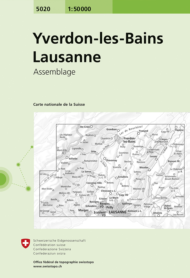
- Wandelkaart - Topografische kaart 5020 Yverdon-les-Bains - Lausanne | Swisstopo
- Yverdon-les-Bains - Lausanne area, map No. 5020, in the standard topographic survey of Switzerland at 1:50,000 from Swisstopo, i.e. without the special overprint highlighting walking trails, local bus stops, etc, presented in Swisstopo Read more
- Also available from:
- Stanfords, United Kingdom

United Kingdom
- Yverdon-les-Bains - Lausanne Swisstopo 5020
- Yverdon-les-Bains - Lausanne area, map No. 5020, in the standard topographic survey of Switzerland at 1:50,000 from Swisstopo, i.e. without the special overprint highlighting walking trails, local bus stops, etc, presented in Swisstopo’s hiking editions of the 50K survey. Highly regarded for their superb use of graphic relief and hill shading,... Read more
Netherlands
2022
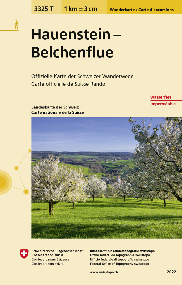
- Wandelkaart - Topografische kaart 3325T Hauenstein - Belchenflue | Swisstopo
- Hauenstein - Belchenflue area of the Swiss Jura at 1:33,333 on light, waterproof and tear-resistant map No. 3325T published by Swisstopo in cooperation with the Swiss Hiking Federation. Cartography is the same as in Swisstopo’s 50K hiking maps, simply enlarged to 1:33,333 for extra clarity but without additional information. The title includes... Read more
- Also available from:
- Stanfords, United Kingdom

United Kingdom
2022
- Hauenstein - Belchenflue Swisstopo Hiking 3325T
- Hauenstein - Belchenflue area of the Swiss Jura at 1:33,333 on light, waterproof and tear-resistant map No. 3325T published by Swisstopo in cooperation with the Swiss Hiking Federation. Cartography is the same as in Swisstopo’s 50K hiking maps, simply enlarged to 1:33,333 for extra clarity but without additional information. The title includes... Read more
Netherlands
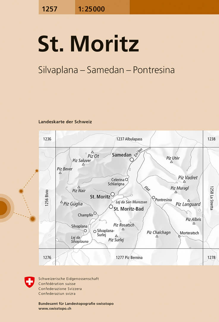
- Wandelkaart - Topografische kaart 1257 St. Moritz | Swisstopo
- Map No. 1257, St. Moritz, in the topographic survey of Switzerland at 1:25,000 from Bundesamt f Read more
- Also available from:
- Stanfords, United Kingdom

United Kingdom
- St. Moritz - Silvaplana - Samedan - Pontresina Swisstopo 1257
- Map No. 1257, St. Moritz, in the topographic survey of Switzerland at 1:25,000 from Bundesamt für Landestopographie (swisstopo), covering the whole country on 247 small format sheets, with special larger maps published for popular regions including some titles now available in hiking versions.Highly regarded for their superb use of graphic... Read more
Netherlands
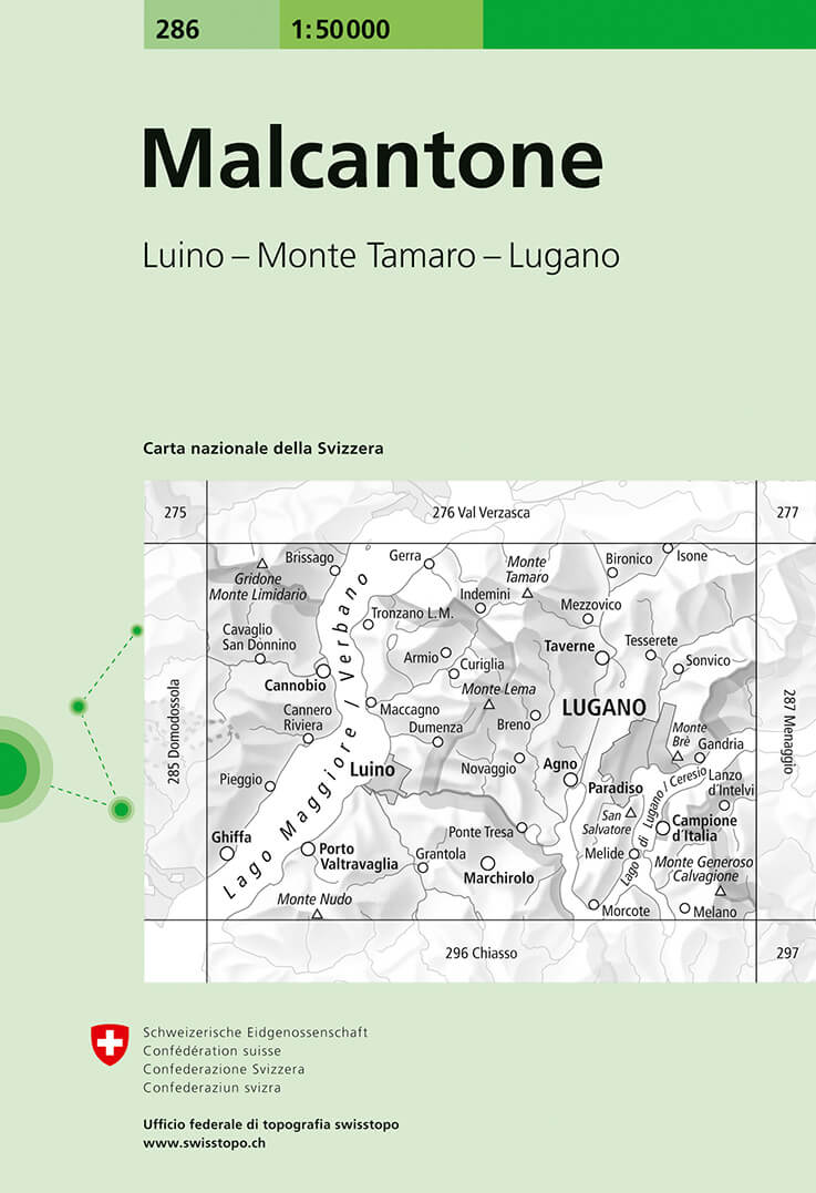
- Wandelkaart - Topografische kaart 286 Malcantone | Swisstopo
- Malcantone, map No. 286, in the standard topographic survey of Switzerland at 1:50,000 from Swisstopo, i.e. without the special overprint highlighting walking trails, local bus stops, etc, presented in Swisstopo Read more
- Also available from:
- Stanfords, United Kingdom
United Kingdom
- Malcantone Swisstopo 286
- Malcantone, map No. 286, in the standard topographic survey of Switzerland at 1:50,000 from Swisstopo, i.e. without the special overprint highlighting walking trails, local bus stops, etc, presented in Swisstopo’s hiking editions of the 50K survey. Coverage includes Lugano.Highly regarded for their superb use of graphic relief and hill shading,... Read more
Netherlands
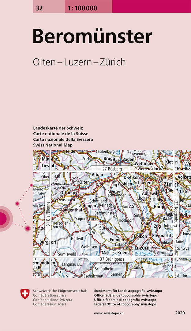
- Fietskaart - Topografische kaart - Wegenkaart - landkaart 32 Beromünster | Swisstopo
- Swiss topographic survey at 1:100,000 from Swisstopo, highly regarded for it superb use of graphic relief and hill shading, presenting an almost 3-D picture of the country`s mountainous terrain. Coverage is available either as small size standard sheets – Nos 26 to 48, each covering 70 x 48 km / 43 x 30 miles approx, or as larger size maps -... Read more
- Also available from:
- Stanfords, United Kingdom

United Kingdom
- Beromünster Swisstopo 32
- Swiss topographic survey at 1:100,000 from Swisstopo, highly regarded for it superb use of graphic relief and hill shading, presenting an almost 3-D picture of the country`s mountainous terrain. Coverage is available either as small size standard sheets – Nos 26 to 48, each covering 70 x 48 km / 43 x 30 miles approx, or as larger size maps -... Read more
Netherlands
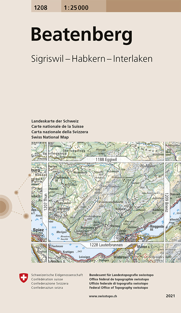
- Wandelkaart - Topografische kaart 1208 Beatenberg | Swisstopo
- Map No. 1208, Beatenberg, in the topographic survey of Switzerland at 1:25,000 from Bundesamt f Read more
- Also available from:
- Stanfords, United Kingdom

United Kingdom
- Beatenberg Swisstopo 1208
- Map No. 1208, Beatenberg, in the topographic survey of Switzerland at 1:25,000 from Bundesamt für Landestopographie (swisstopo), covering the whole country on 247 small format sheets, with special larger maps published for popular regions including some titles now available in hiking versions.Highly regarded for their superb use of graphic... Read more
Netherlands
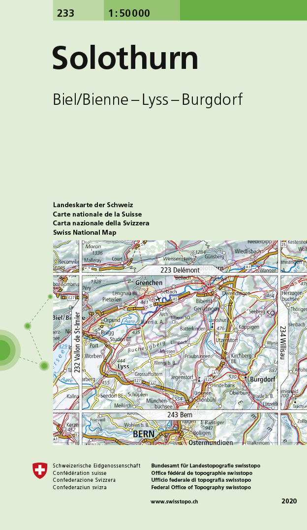
- Wandelkaart - Topografische kaart 233 Solothurn | Swisstopo
- Solothurn, map No. 233, in the standard topographic survey of Switzerland at 1:50,000 from Swisstopo, i.e. without the special overprint highlighting walking trails, local bus stops, etc, presented in Swisstopo Read more
- Also available from:
- Stanfords, United Kingdom
United Kingdom
- Solothurn Swisstopo 233
- Solothurn, map No. 233, in the standard topographic survey of Switzerland at 1:50,000 from Swisstopo, i.e. without the special overprint highlighting walking trails, local bus stops, etc, presented in Swisstopo’s hiking editions of the 50K survey. Highly regarded for their superb use of graphic relief and hill shading, the maps give an almost... Read more