
Exmoor
Beschrijving
Exmoor National Park is located in southwest England, and is divided between the counties Somerset and Devon.
Exmoor is very different from the other main park in Devon: Dartmoor. Dartmoor is empty, infertile, very wet. Exmoor National Park on the other hand has a diverse nature, including farmlands, woods, small hamlets some of the wildest coastline in England, ánd moorland.
Paden in deze regio
Links
Feiten
Verslagen
Gidsen en kaarten
Overnachting
Organisaties
Reisorganisaties
GPS
Anders
Boeken
De Zwerver
Netherlands
2018
Netherlands
2018
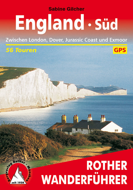
- Wandelgids England Süd - Engeland Zuid | Rother Bergverlag
- Zwischen London, Dover, Jurassic Coast und Exmoor. 56 Touren. Mit GPS-Tracks. Rother Wanderbuch Read more
De Zwerver
Netherlands
2024
Netherlands
2024
Bol.com
Netherlands
Netherlands
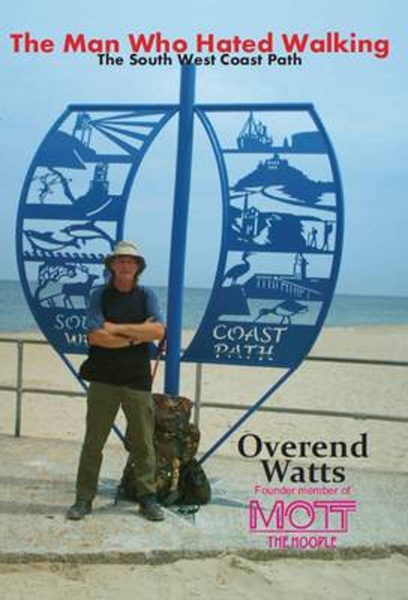
- The Man Who Hated Walking
- From 1969 to 1979 Overend Watts recorded and toured extensively with Mott The Hoople, Mott, and British Lions before shunning the limelight and turning his hand to record producing, gentlemen's hairdressing (briefly!), and dealing in antiques. At this point, however, most of his spare time was spent in the pursuit of large carp and he became a... Read more
- Also available from:
- Bol.com, Belgium
Bol.com
Belgium
Belgium
- The Man Who Hated Walking
- From 1969 to 1979 Overend Watts recorded and toured extensively with Mott The Hoople, Mott, and British Lions before shunning the limelight and turning his hand to record producing, gentlemen's hairdressing (briefly!), and dealing in antiques. At this point, however, most of his spare time was spent in the pursuit of large carp and he became a... Read more
Bol.com
Netherlands
Netherlands
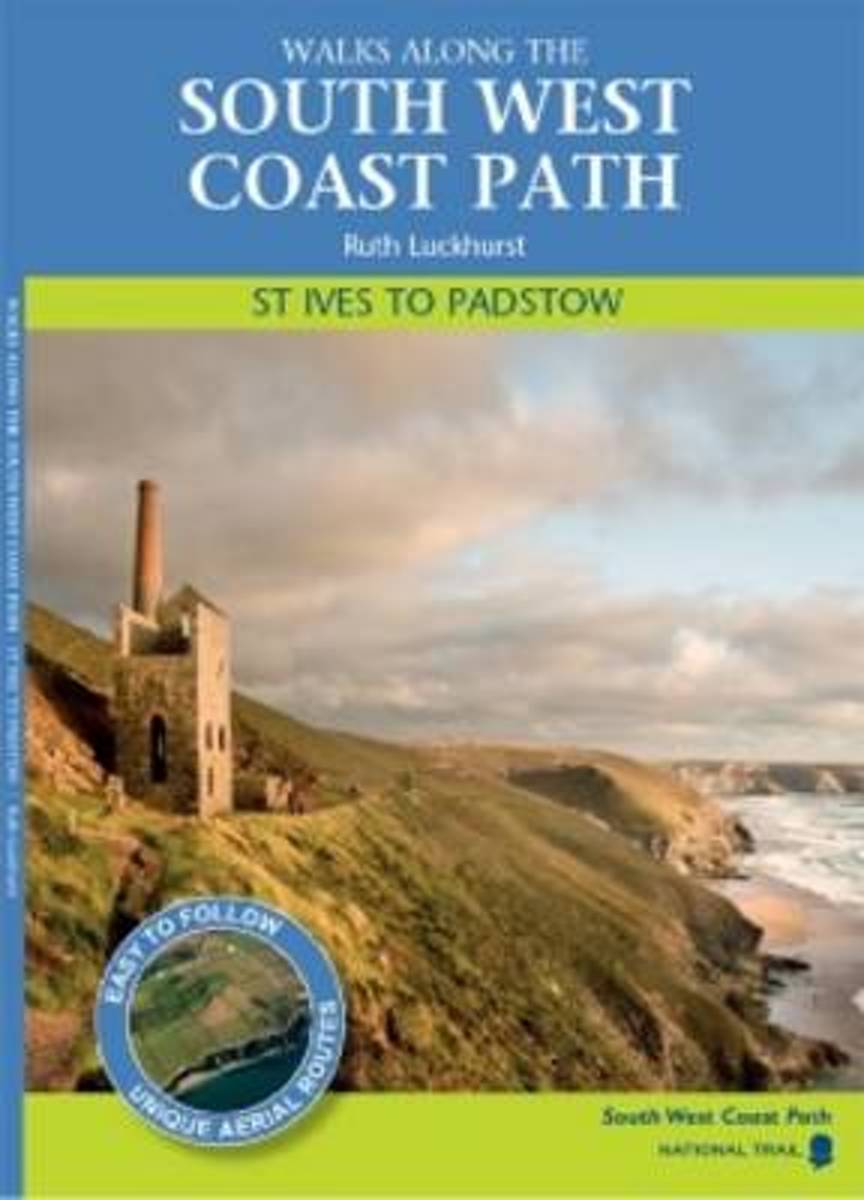
- St Ives to Padstow
- Packed with accessible local and historical information, the route of each walk is overlaid onto a stunning aerial photograph, showing walkers the landscape and features, followed by a description of each walk and information about the area. The essential walking companion for families and serious walkers alike with a variety of walks to suit... Read more
- Also available from:
- Bol.com, Belgium
- Stanfords, United Kingdom
Bol.com
Belgium
Belgium
- St Ives to Padstow
- Packed with accessible local and historical information, the route of each walk is overlaid onto a stunning aerial photograph, showing walkers the landscape and features, followed by a description of each walk and information about the area. The essential walking companion for families and serious walkers alike with a variety of walks to suit... Read more

Stanfords
United Kingdom
United Kingdom
- St. Ives to Padstow
- Packed with accessible local and historical information, the route of each walk is overlaid onto a stunning aerial photograph, showing walkers the landscape and features, followed by a description of each walk and information about the area. The essential walking companion for families and serious walkers alike with a variety of walks to suit... Read more

Bol.com
Netherlands
Netherlands
- Devon Sketchbook
- Devon is many people's idea of the ideal country place to live. But the county is far more than a country idyll set in an equitable climate. Whatever you like to do outdoors you'll find all you need in here. Some counties are pleased to boast one National Park, but Devon contains two: all of Dartmoor and a significant third of Exmoor. Unique in... Read more
- Also available from:
- Bol.com, Belgium
Bol.com
Belgium
Belgium
- Devon Sketchbook
- Devon is many people's idea of the ideal country place to live. But the county is far more than a country idyll set in an equitable climate. Whatever you like to do outdoors you'll find all you need in here. Some counties are pleased to boast one National Park, but Devon contains two: all of Dartmoor and a significant third of Exmoor. Unique in... Read more
De Zwerver
Netherlands
2016
Netherlands
2016
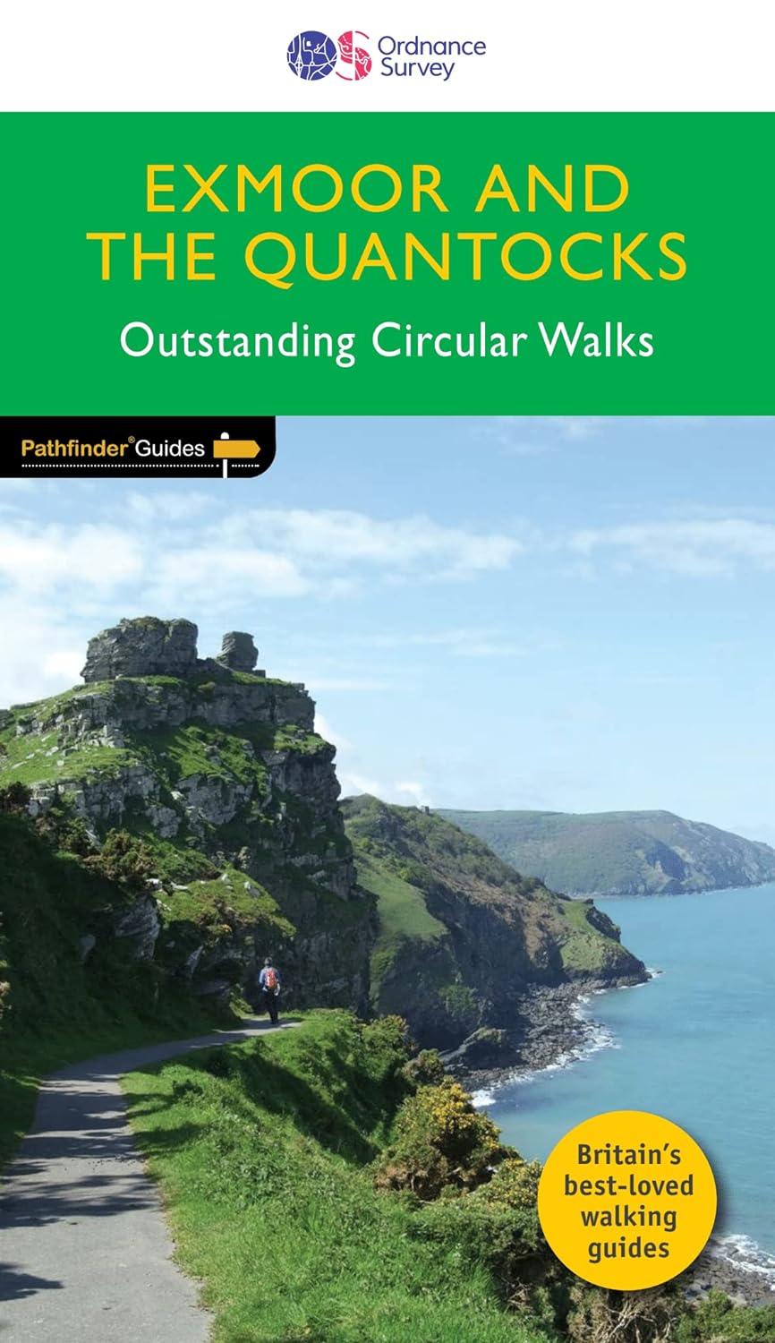
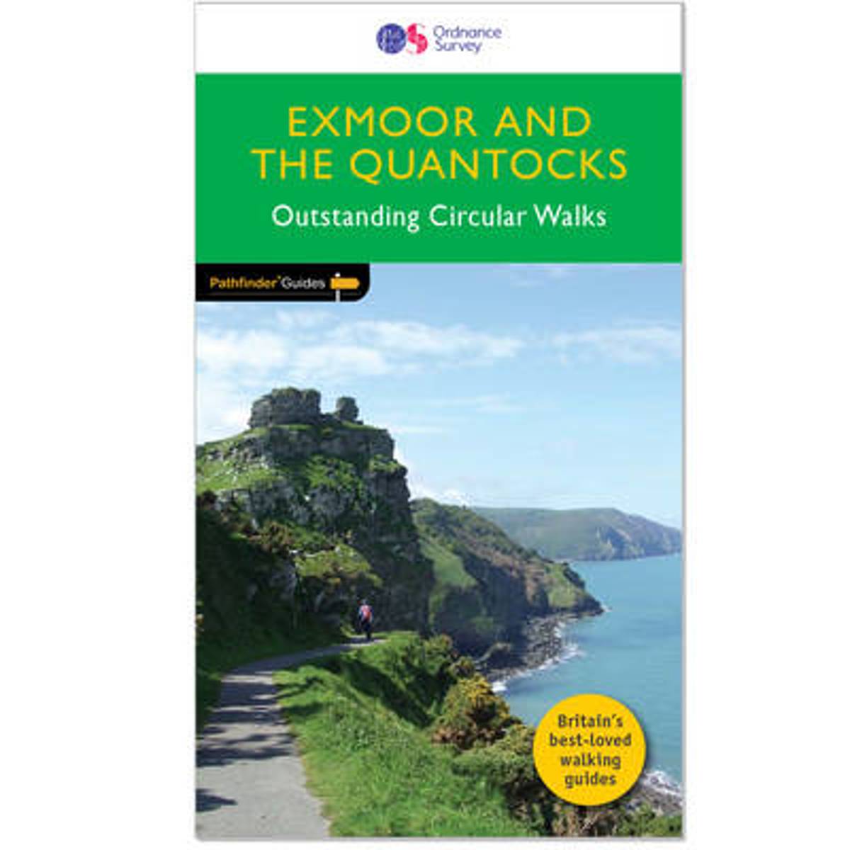
- Wandelgids 09 Pathfinder Guides Exmoor & the Quantocks | Ordnance Survey
- Exmoor National Park comprises 267 square miles, of which about two-thirds lie in west Somerset and the remaining third in north Devon. Its uniquely beautiful combination of moor and coast, woodland and valleys, hills and forest, and wildness and gentleness, makes it ideal for exploring on foot. The National Park`s northern boundary is the... Read more
- Also available from:
- Bol.com, Netherlands
- Bol.com, Belgium
- Stanfords, United Kingdom
- The Book Depository, United Kingdom
Bol.com
Netherlands
2016
Netherlands
2016
- Exmoor & the Quantocks
- Exmoor National Park comprises 267 square miles, of which about two-thirds lie in west Somerset and the remaining third in north Devon. Its uniquely beautiful combination of moor and coast, woodland and valleys, hills and forest, and wildness and gentleness, makes it ideal for exploring on foot. The National Park's northern boundary is the... Read more
Bol.com
Belgium
2016
Belgium
2016
- Exmoor & the Quantocks
- Exmoor National Park comprises 267 square miles, of which about two-thirds lie in west Somerset and the remaining third in north Devon. Its uniquely beautiful combination of moor and coast, woodland and valleys, hills and forest, and wildness and gentleness, makes it ideal for exploring on foot. The National Park's northern boundary is the... Read more

Stanfords
United Kingdom
2016
United Kingdom
2016
- Exmoor & the Quantocks: 2016
- Exmoor National Park comprises 267 square miles, of which about two-thirds lie in west Somerset and the remaining third in north Devon. Its uniquely beautiful combination of moor and coast, woodland and valleys, hills and forest, and wildness and gentleness, makes it ideal for exploring on foot. The National Park`s northern boundary is the... Read more

The Book Depository
United Kingdom
2016
United Kingdom
2016
- Exmoor & the Quantocks 2016
- Exmoor National Park comprises 267 square miles, of which about two-thirds lie in west Somerset and the remaining third in north Devon. Its uniquely beautiful combination of moor and coast, woodland and valleys, hills and forest, and wildness and gentleness, makes it ideal for exploring on foot. The National Park`s northern boundary is the... Read more
Bol.com
Netherlands
Netherlands
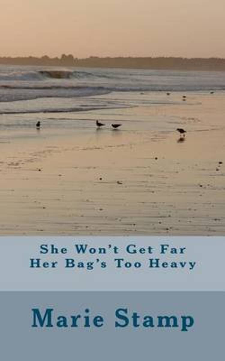
- She Won't Get Far Her Bag's Too Heavy
- SHE WON'T GET FAR HER BAG'S TOO HEAVYAuthor Marie StampA story about a woman and her dog starting out on a walk on the South West Coast Pathin 2010 with the intention of walking from Minehead to Land's End. Her dog carrying his ownbaggage and she carrying a huge rucksack full of things that give her self sufficiency. Sportingshin splints, she... Read more
- Also available from:
- Bol.com, Belgium
Bol.com
Belgium
Belgium
- She Won't Get Far Her Bag's Too Heavy
- SHE WON'T GET FAR HER BAG'S TOO HEAVYAuthor Marie StampA story about a woman and her dog starting out on a walk on the South West Coast Pathin 2010 with the intention of walking from Minehead to Land's End. Her dog carrying his ownbaggage and she carrying a huge rucksack full of things that give her self sufficiency. Sportingshin splints, she... Read more
De Zwerver
Netherlands
2018
Netherlands
2018
- Wandelgids 9 The South West Coast Path National Trail Guide | Aurum Press
- Padstow to Falmouth: National Trail Guide Read more
- Also available from:
- Bol.com, Netherlands
- Bol.com, Belgium
- Stanfords, United Kingdom
- The Book Depository, United Kingdom

Bol.com
Netherlands
2018
Netherlands
2018
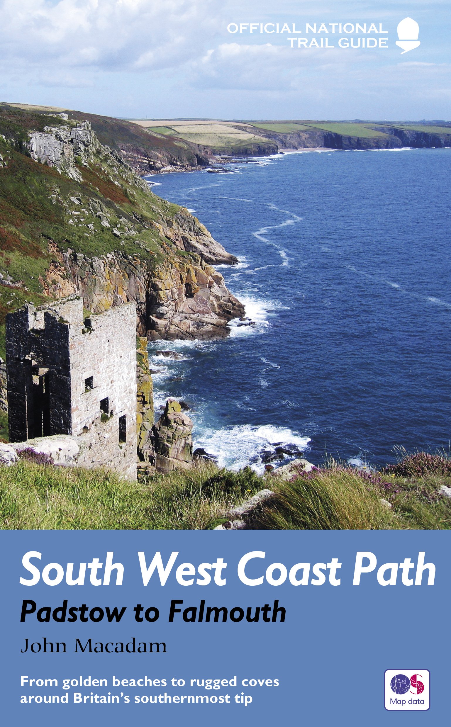
- South West Coast Path
- The South West Coast Path is the longest of Britain's National Trails, following the spectacular coastline for 630 miles around the southernmost tip of England from Somerset all the way to Dorset. This volume of the Official National Trail Guide, published in association with Natural England, features the second section of 169 miles (271 km),... Read more
Bol.com
Belgium
2018
Belgium
2018
- South West Coast Path
- The South West Coast Path is the longest of Britain's National Trails, following the spectacular coastline for 630 miles around the southernmost tip of England from Somerset all the way to Dorset. This volume of the Official National Trail Guide, published in association with Natural England, features the second section of 169 miles (271 km),... Read more

Stanfords
United Kingdom
2018
United Kingdom
2018
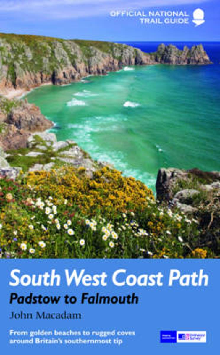
- South West Coast Path - Padstow to Falmouth
- The South West Coast Path is the longest of Britain’s National Trails, following the spectacular coastline for 630 miles around the southernmost tip of England from Somerset all the way to Dorset.This volume of the Official National Trail Guide, published in association with Natural England, features the second section of 169 miles (271 km),... Read more

The Book Depository
United Kingdom
2018
United Kingdom
2018
- South West Coast Path: Padstow to Falmouth
- From golden beaches to rugged coves around Britain's southernmost tip Read more
Bol.com
Netherlands
2016
Netherlands
2016
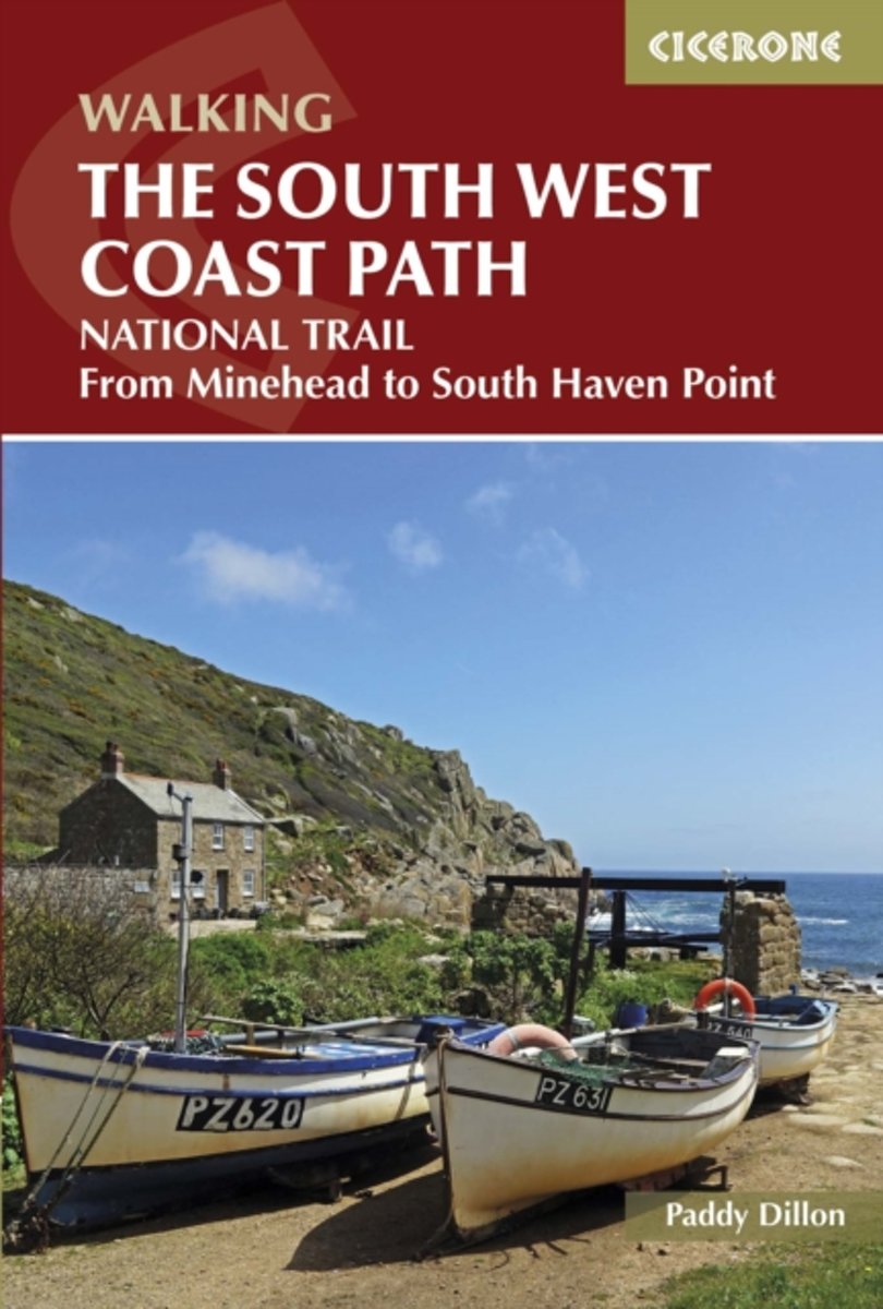
- The South West Coast Path
- The South West Coast Path National Trail (SWCP) measures a staggering 630 miles (1015km) from Minehead on the Somerset coast right round Devon and Cornwall to Poole in Dorset. The guidebook divides the route into 45 stages of between 12.5- 37.5km beginning and ending where amenities are available. No other stretch of coastline compares for... Read more
- Also available from:
- Bol.com, Belgium
Bol.com
Belgium
2016
Belgium
2016
- The South West Coast Path
- The South West Coast Path National Trail (SWCP) measures a staggering 630 miles (1015km) from Minehead on the Somerset coast right round Devon and Cornwall to Poole in Dorset. The guidebook divides the route into 45 stages of between 12.5- 37.5km beginning and ending where amenities are available. No other stretch of coastline compares for... Read more
Bol.com
Netherlands
2018
Netherlands
2018
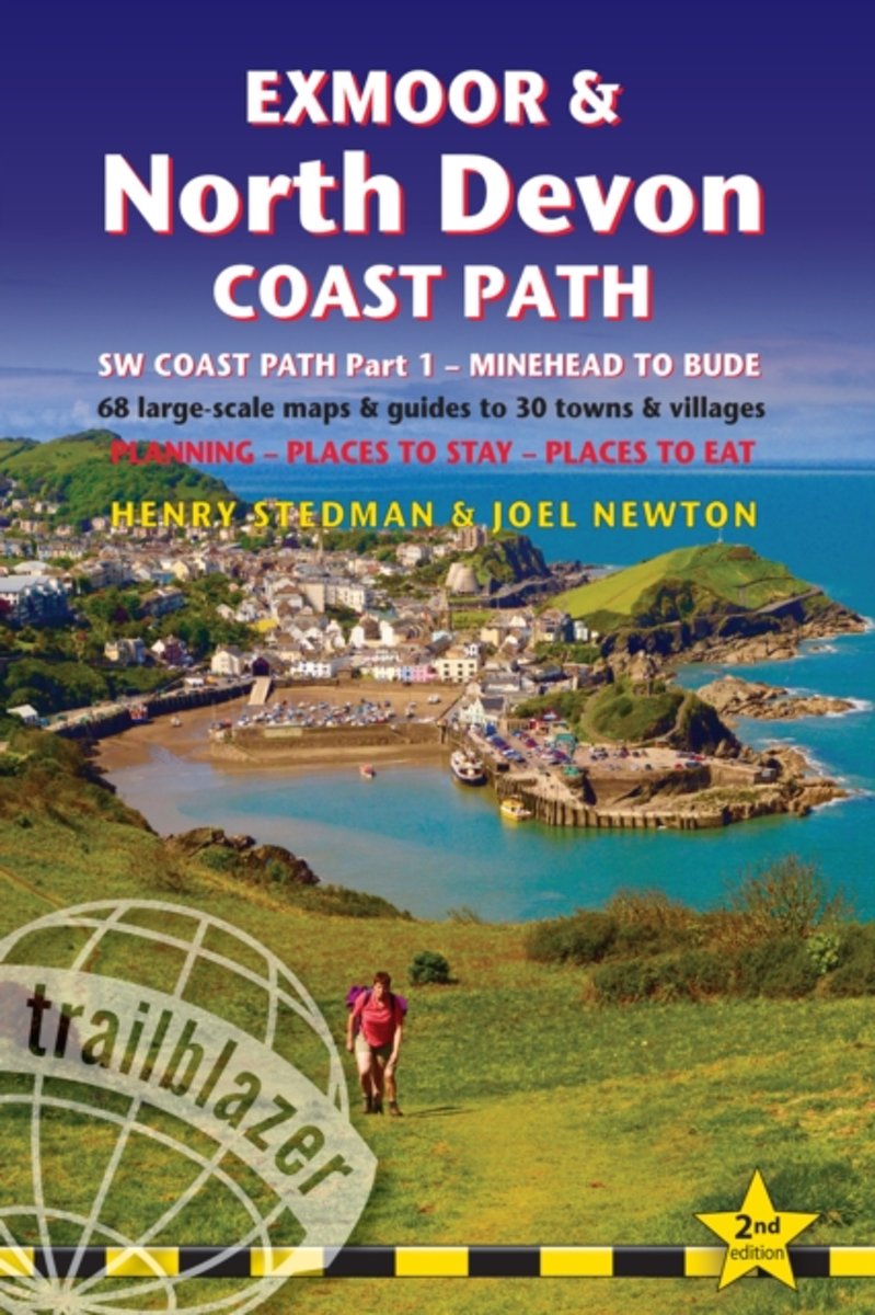
- Exmoor & North Devon coast path
- 'SW Coast Path part - 1 - Minehead to Bude' includes accommodation, pubs and restaurants in detailed guides to 30 towns and villages. Includes 68 detailed walking maps: the largest-scale maps availabe - At just under 1:20.000 (8cm or 3 1/8 inches to 1 mile) these are bigger than even the most detailed walking maps currently available in the... Read more
- Also available from:
- Bol.com, Belgium
Bol.com
Belgium
2018
Belgium
2018
- Exmoor & North Devon coast path
- 'SW Coast Path part - 1 - Minehead to Bude' includes accommodation, pubs and restaurants in detailed guides to 30 towns and villages. Includes 68 detailed walking maps: the largest-scale maps availabe - At just under 1:20.000 (8cm or 3 1/8 inches to 1 mile) these are bigger than even the most detailed walking maps currently available in the... Read more
- Also available from:
- Bol.com, Belgium
- Stanfords, United Kingdom
- The Book Depository, United Kingdom

Stanfords
United Kingdom
United Kingdom
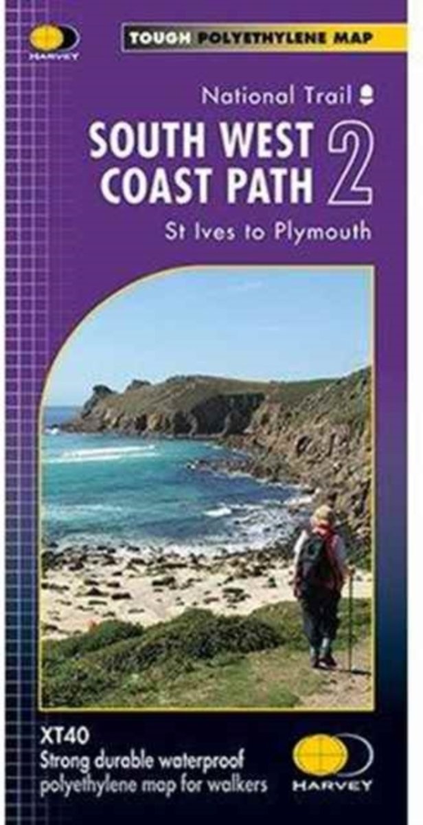
- South West Coast Path 2 - St Ives to Plymouth Harvey National Trail XT40
- The second section of the South West Coast Path National Trail, from St Ives to Plymouth along the southern coast of Cornwall and Devon, presented by Harvey Map Services at 1:40,000 on a light, waterproof and tear-resistant map, showing the path on eight overlapping panels, including a more detailed street plan indicating the course of the... Read more

Bol.com
Netherlands
Netherlands
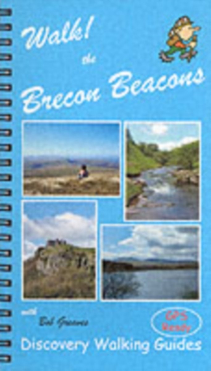
- Walk! the Brecon Beacons
- Travel Book of the Week. As a wannabe walker, I'm much taken with the Discovery Walking guides new Walk! UK series which covers all the major walking destinations from the Lake District to Exmoor. Walk! The Brecon Beacons, GBP12.99 by Bob Greaves, is a handsomely produced book of 160 pages in full colour with Ordnance Survey mapping and a... Read more
- Also available from:
- Bol.com, Belgium
- Stanfords, United Kingdom
- The Book Depository, United Kingdom
Bol.com
Belgium
Belgium
- Walk! the Brecon Beacons
- Travel Book of the Week. As a wannabe walker, I'm much taken with the Discovery Walking guides new Walk! UK series which covers all the major walking destinations from the Lake District to Exmoor. Walk! The Brecon Beacons, GBP12.99 by Bob Greaves, is a handsomely produced book of 160 pages in full colour with Ordnance Survey mapping and a... Read more
Stanfords
United Kingdom
United Kingdom
- Walk! The Brecon Beacons
- Walk the Brecon Beacons is Bob Greaves’ Discovery Walking Guide exploring the best walking possibilities in the famous Welsh mountain range. The guide covers a range of walks within the Brecon Beacons National Park, from a gentle stroll around Usk Reservoir to a challenging four peaks in one day on the Grwynne Fawr route. The walks explore high... Read more

De Zwerver
Netherlands
2016
Netherlands
2016
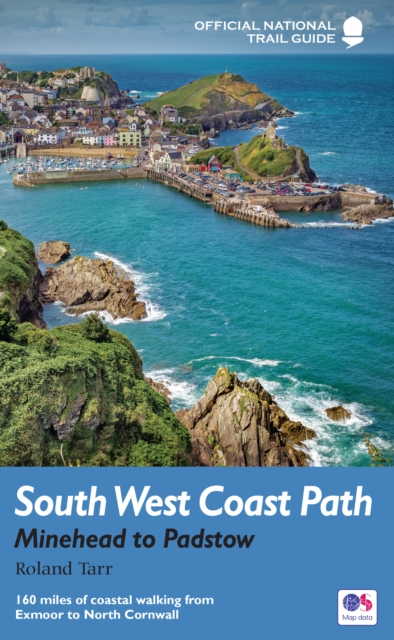
- Wandelgids 8 The South West Coast Path | Aurum Press
- Minehead to Padstow: National Trail Guide Read more
- Also available from:
- Bol.com, Netherlands
- Bol.com, Belgium
- Stanfords, United Kingdom
- The Book Depository, United Kingdom

Bol.com
Netherlands
2016
Netherlands
2016
- South West Coast Path
- The South West Coast Path is the spectacular 630-mile (1008-km) National Trail around the tip of Britain. This volume features the section of the Path from Minehead to Padstow, a distance of 163 miles (262 km). It skirts the Exmoor National Park, taking in the precipitous harbour towns of Lynton, Lynmouth and Ilfracombe, before heading... Read more
Bol.com
Belgium
2016
Belgium
2016
- South West Coast Path
- The South West Coast Path is the spectacular 630-mile (1008-km) National Trail around the tip of Britain. This volume features the section of the Path from Minehead to Padstow, a distance of 163 miles (262 km). It skirts the Exmoor National Park, taking in the precipitous harbour towns of Lynton, Lynmouth and Ilfracombe, before heading... Read more

Stanfords
United Kingdom
2016
United Kingdom
2016
- South West Coast Path - Minehead to Padstow
- The South West Coast Path is the spectacular 630-mile (1008-km) National Trail around the tip of Britain. This volume features the section of the Path from Minehead to Padstow, a distance of 163 miles (262 km). It skirts the Exmoor National Park, taking in the precipitous harbour towns of Lynton, Lynmouth and Ilfracombe, before heading... Read more

The Book Depository
United Kingdom
2016
United Kingdom
2016
- South West Coast Path: Minehead to Padstow
- National Trail Guide Read more
Bol.com
Netherlands
2013
Netherlands
2013
- South West Coast Path
- The South West Coast Path is the longest of Britain's National Trails, following the spectacular coastline for 630 miles around the southernmost tip of England from Somerset all the way to Dorset. This volume of the Official National Trail Guide, published in association with Natural England, features the second section of 169 miles (271 km),... Read more
- Also available from:
- Bol.com, Belgium
- Stanfords, United Kingdom
- The Book Depository, United Kingdom
Bol.com
Belgium
2013
Belgium
2013
- South West Coast Path
- The South West Coast Path is the longest of Britain's National Trails, following the spectacular coastline for 630 miles around the southernmost tip of England from Somerset all the way to Dorset. This volume of the Official National Trail Guide, published in association with Natural England, features the second section of 169 miles (271 km),... Read more

Stanfords
United Kingdom
2013
United Kingdom
2013
- South West Coast Path National Trail: Padstow to Falmouth
- The second part of the South West Coast Path, a 169-km/271 mile section along the Cornish coast from Padstow to Falmouth, in a series of walking guides to the National Trails in England and Wales with colour extracts from the Ordnance Survey`s Explorer series at 1:25,000 showing points along the route cross-referenced to the text. The maps also... Read more

The Book Depository
United Kingdom
2013
United Kingdom
2013
- South West Coast Path: Padstow to Falmouth
- National Trail Guide Read more
Bol.com
Netherlands
2010
Netherlands
2010
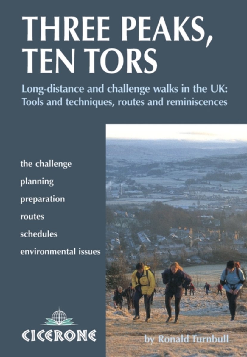
- Three Peaks, Ten Tors
- A guidebook to 15 of the best challenge walking routes in the UK - with both serious and humorous approaches, There are routes throughout the country, including the National Three Peaks Challenge, the Yorkshire and the Lancashire Three Peaks, the Dartmoor Ten Tors, the Lyke Wake Walk, the Derwent Watershed, Across Wales Walk, the Lairig Ghru,... Read more
- Also available from:
- Bol.com, Belgium
Bol.com
Belgium
2010
Belgium
2010
- Three Peaks, Ten Tors
- A guidebook to 15 of the best challenge walking routes in the UK - with both serious and humorous approaches, There are routes throughout the country, including the National Three Peaks Challenge, the Yorkshire and the Lancashire Three Peaks, the Dartmoor Ten Tors, the Lyke Wake Walk, the Derwent Watershed, Across Wales Walk, the Lairig Ghru,... Read more
Kaarten
Bol.com
Netherlands
2017
Netherlands
2017
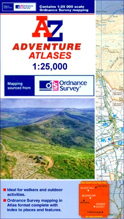
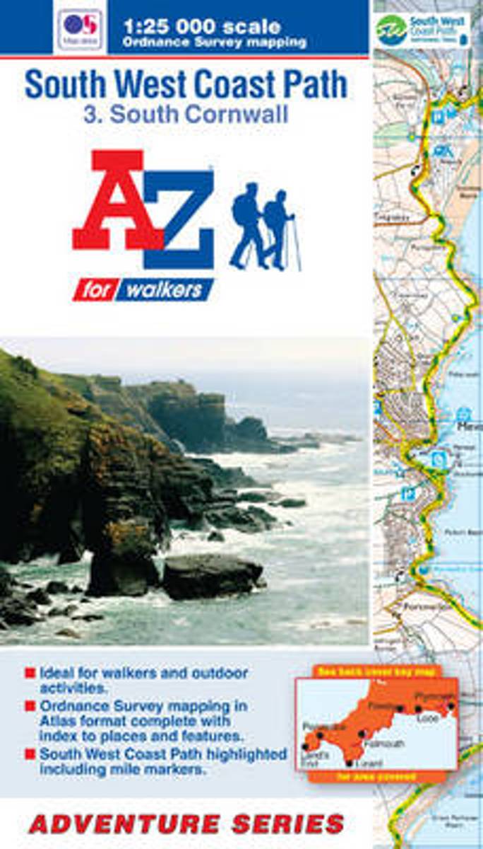
- SW Coast Path South Cornwall Adventure Atlas
- South West Coast Path 3 - South Cornwall Adventure Atlas at 1:25,000 in a series of handy A5 size Adventure Atlases from Geographers` A-Z Map Company with cartography from the Ordnance Survey’s Explorer series. The guide covers the 252km / 158 mile section of the SWCP National Trail between Land’s End and Plymouth and includes a route planner... Read more
- Also available from:
- Bol.com, Belgium
- Stanfords, United Kingdom
Bol.com
Belgium
2017
Belgium
2017
- SW Coast Path South Cornwall Adventure Atlas
- South West Coast Path 3 - South Cornwall Adventure Atlas at 1:25,000 in a series of handy A5 size Adventure Atlases from Geographers` A-Z Map Company with cartography from the Ordnance Survey’s Explorer series. The guide covers the 252km / 158 mile section of the SWCP National Trail between Land’s End and Plymouth and includes a route planner... Read more

Stanfords
United Kingdom
2017
United Kingdom
2017
- South West Coast Path 3 - South Cornwall A-Z Adventure Atlas
- South West Coast Path 3 - South Cornwall Adventure Atlas at 1:25,000 in a series of handy A5 size Adventure Atlases from Geographers` A-Z Map Company with cartography from the Ordnance Survey’s Explorer series. The guide covers the 252km / 158 mile section of the SWCP National Trail between Land’s End and Plymouth and includes a route planner... Read more
Bol.com
Netherlands
Netherlands
- SW Coast Path South Cornwall Adventure Atlas
- South West Coast Path 3 - South Cornwall Adventure Atlas at 1:25,000 in a series of handy A5 size Adventure Atlases from Geographers' A-Z Map Company with cartography from the Ordnance Survey Read more
- Also available from:
- Bol.com, Belgium
Bol.com
Belgium
Belgium
- SW Coast Path South Cornwall Adventure Atlas
- South West Coast Path 3 - South Cornwall Adventure Atlas at 1:25,000 in a series of handy A5 size Adventure Atlases from Geographers' A-Z Map Company with cartography from the Ordnance Survey Read more

Bol.com
Netherlands
Netherlands
- SW Coast Path North Devon & Somerset Adventure Atlas
- South West Coast Path 1 - North Devon & Somerset Adventure Atlas at 1:25,000 in a series of handy A5 size Adventure Atlases from Geographers` A-Z Map Company with cartography from the Ordnance Survey’s Explorer series. The guide covers the 199km / 125 mile section of the SWCP National Trail between Bude and Minehead and includes a route planner... Read more
- Also available from:
- Bol.com, Belgium
Bol.com
Belgium
Belgium
- SW Coast Path North Devon & Somerset Adventure Atlas
- South West Coast Path 1 - North Devon & Somerset Adventure Atlas at 1:25,000 in a series of handy A5 size Adventure Atlases from Geographers` A-Z Map Company with cartography from the Ordnance Survey’s Explorer series. The guide covers the 199km / 125 mile section of the SWCP National Trail between Bude and Minehead and includes a route planner... Read more
Bol.com
Netherlands
Netherlands
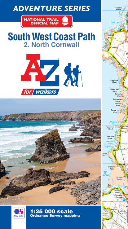
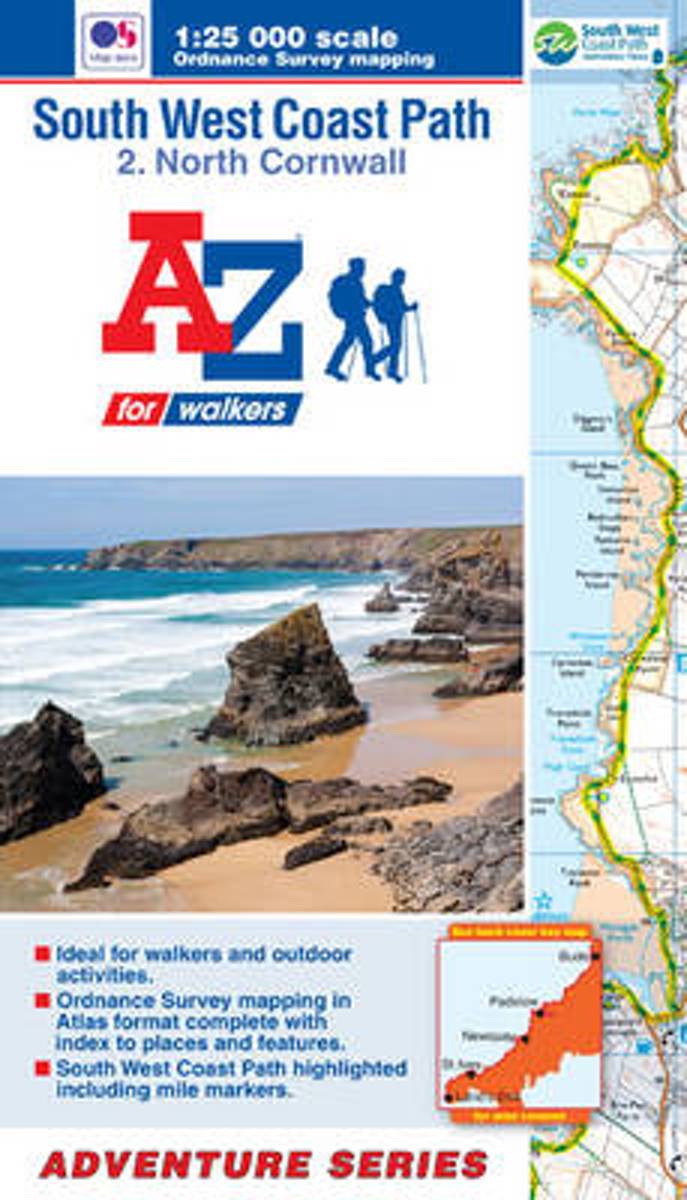
- SW Coast Path North Cornwall Adventure Atlas
- AZ heeft de meest gedetailleerde wandelkaarten van delen van het South West Coast Path gebundeld in een atlasje. Daardoor is het heel handig qua formaat. De kaarten zelf zijn perfect voor het wandelen. Schaal 1:25.000 The perfect companion for those who love the great outdoors, the A-Z Adventure Series features OS 1:25000 scale mapping in a... Read more
- Also available from:
- Bol.com, Belgium
Bol.com
Belgium
Belgium
- SW Coast Path North Cornwall Adventure Atlas
- AZ heeft de meest gedetailleerde wandelkaarten van delen van het South West Coast Path gebundeld in een atlasje. Daardoor is het heel handig qua formaat. De kaarten zelf zijn perfect voor het wandelen. Schaal 1:25.000 The perfect companion for those who love the great outdoors, the A-Z Adventure Series features OS 1:25000 scale mapping in a... Read more
Bol.com
Netherlands
Netherlands
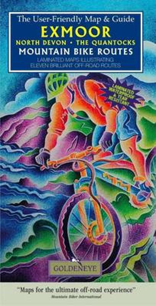
- Exmoor North Devon the Quantocks Mountain Bike Routes
- Laminated maps illustrating ten brilliant off-road routes Read more
- Also available from:
- Bol.com, Belgium
Bol.com
Belgium
Belgium
- Exmoor North Devon the Quantocks Mountain Bike Routes
- Laminated maps illustrating ten brilliant off-road routes Read more

Bol.com
Netherlands
Netherlands
- South West Mountain Biking - Quantocks, Exmoor, Dartmoor
- South West Mountain Biking - Quantocks, Exmoor, Dartmoor - is the full second edition of the bestselling guide to the outstanding mountain biking in the south west of England. Featured are 26 of the best mountain bike rides in Dartmoor, Exmoor and the Quantock Hills, between 10km and 30km in length, suitable for all levels of mountain bikers.... Read more
- Also available from:
- Bol.com, Belgium
- Stanfords, United Kingdom
Bol.com
Belgium
Belgium
- South West Mountain Biking - Quantocks, Exmoor, Dartmoor
- South West Mountain Biking - Quantocks, Exmoor, Dartmoor - is the full second edition of the bestselling guide to the outstanding mountain biking in the south west of England. Featured are 26 of the best mountain bike rides in Dartmoor, Exmoor and the Quantock Hills, between 10km and 30km in length, suitable for all levels of mountain bikers.... Read more

Stanfords
United Kingdom
United Kingdom
- South West Mountain Biking - Quantocks, Exmoor, Dartmoor
- Vertebrate`s ”South West Mountain Biking – Quantocks, Exmoor, Dartmoor” is the second edition of their bestselling guide to mountain biking in the South West of England. Featured are 26 of the best mountain bike rides in Dartmoor, Exmoor and the Quantock Hills, between 10km and 30km in length, suitable for all levels of mountain bikers.Each... Read more
Bol.com
Netherlands
Netherlands
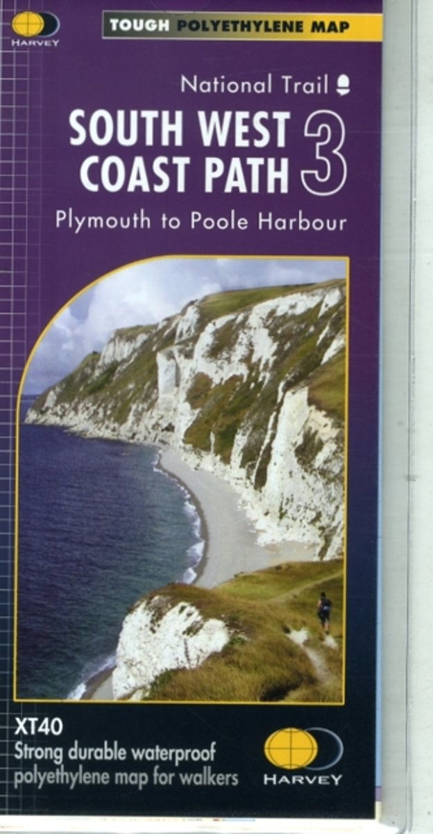
- South West Coast Path 3 XT40
- The third section of the South West Coast Path National Trail, from Plymouth to Poole Harbour along the southern coast Devon and the coast of Dorset, presented by Harvey Map Services at 1:40,000 on a light, waterproof and tear-resistant map, showing the path on 11 overlapping panels.In this new 2015 edition the whole route from Minehead to... Read more
- Also available from:
- Bol.com, Belgium
- Stanfords, United Kingdom
- The Book Depository, United Kingdom
Bol.com
Belgium
Belgium
- South West Coast Path 3 XT40
- The third section of the South West Coast Path National Trail, from Plymouth to Poole Harbour along the southern coast Devon and the coast of Dorset, presented by Harvey Map Services at 1:40,000 on a light, waterproof and tear-resistant map, showing the path on 11 overlapping panels.In this new 2015 edition the whole route from Minehead to... Read more

Stanfords
United Kingdom
United Kingdom
- South West Coast Path 3 - Plymouth to Poole Harbour Harvey National Trail XT40
- The third section of the South West Coast Path National Trail, from Plymouth to Poole Harbour along the southern coast Devon and the coast of Dorset, presented by Harvey Map Services at 1:40,000 on a light, waterproof and tear-resistant map, showing the path on 11 overlapping panels.In this new 2015 edition the whole route from Minehead to... Read more


Bol.com
Netherlands
2017
Netherlands
2017
- SW Coast Path South Devon Adventure Atlas
- South West Coast Path 4 - South Devon Adventure at 1:25,000 in a series of handy A5 size Adventure Atlases from Geographers` A-Z Map Company with cartography from the Ordnance Survey’s Explorer series. The guide covers the 210 km / 131 mile section of the SWCP National Trail between Plymouth and Lyme Regis and includes a route planner... Read more
- Also available from:
- Bol.com, Belgium
- Stanfords, United Kingdom
Bol.com
Belgium
2017
Belgium
2017
- SW Coast Path South Devon Adventure Atlas
- South West Coast Path 4 - South Devon Adventure at 1:25,000 in a series of handy A5 size Adventure Atlases from Geographers` A-Z Map Company with cartography from the Ordnance Survey’s Explorer series. The guide covers the 210 km / 131 mile section of the SWCP National Trail between Plymouth and Lyme Regis and includes a route planner... Read more

Stanfords
United Kingdom
2017
United Kingdom
2017
- South West Coast Path 4 - South Devon Adventure Atlas
- South West Coast Path 4 - South Devon Adventure at 1:25,000 in a series of handy A5 size Adventure Atlases from Geographers` A-Z Map Company with cartography from the Ordnance Survey’s Explorer series. The guide covers the 210 km / 131 mile section of the SWCP National Trail between Plymouth and Lyme Regis and includes a route planner... Read more
Bol.com
Netherlands
Netherlands
- SW Coast Path North Cornwall Adventure Atlas
- South West Coast Path 2 - North Cornwall Adventure Atlas at 1:25,000 in a series of handy A5 size Adventure Atlases from Geographers' A-Z Map Company with cartography from the Ordnance Survey Read more
- Also available from:
- Bol.com, Belgium
Bol.com
Belgium
Belgium
- SW Coast Path North Cornwall Adventure Atlas
- South West Coast Path 2 - North Cornwall Adventure Atlas at 1:25,000 in a series of handy A5 size Adventure Atlases from Geographers' A-Z Map Company with cartography from the Ordnance Survey Read more

Stanfords
United Kingdom
United Kingdom
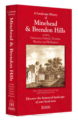
- Minehead and Brendon Hills 1809
- Map No. 181, Minehead and Brendon Hills 1809, in the Cassini Historical Series of old Ordnance Survey mapping of England and Wales at 1:50,000 in a format designed to offer a convenient comparison with the present day coverage from the OS, and most locations in three different editions. Old historical maps have been combined so that the sheet... Read more
Stanfords
United Kingdom
United Kingdom
- Minehead and Brendon Hills 1919
- Map No. 181, Minehead and Brendon Hills 1919, in the Cassini Historical Series of old Ordnance Survey mapping of England and Wales at 1:50,000 in a format designed to offer a convenient comparison with the present day coverage from the OS, and most locations in three different editions. Old historical maps have been combined so that the sheet... Read more
Stanfords
United Kingdom
United Kingdom
- Barnstaple and Ilfracombe 1809
- Map No. 180, Barnstaple and Ilfracombe 1809, in the Cassini Historical Series of old Ordnance Survey mapping of England and Wales at 1:50,000 in a format designed to offer a convenient comparison with the present day coverage from the OS, and most locations in three different editions. Old historical maps have been combined so that the sheet... Read more
Stanfords
United Kingdom
United Kingdom
- Minehead and Brendon Hills 1898-1900
- Map No. 181, Minehead and Brendon Hills 1898-1900, in the Cassini Historical Series of old Ordnance Survey mapping of England and Wales at 1:50,000 in a format designed to offer a convenient comparison with the present day coverage from the OS, and most locations in three different editions. Old historical maps have been combined so that the... Read more
Stanfords
United Kingdom
United Kingdom
- Barnstaple and Ilfracombe 1919
- Map No. 180, Barnstaple and Ilfracombe 1919, in the Cassini Historical Series of old Ordnance Survey mapping of England and Wales at 1:50,000 in a format designed to offer a convenient comparison with the present day coverage from the OS, and most locations in three different editions. Old historical maps have been combined so that the sheet... Read more
Stanfords
United Kingdom
United Kingdom
- Minehead and Brendon Hills 1809- 1919 (3-map set)
- Map No. 181, Minehead and Brendon Hills 1919, in the Cassini Historical Series of old Ordnance Survey mapping of England and Wales at 1:50,000 in a format designed to offer a convenient comparison with the present day coverage from the OS, and most locations in three different editions. Old historical maps have been combined so that the sheet... Read more