Scotland
Beschrijving
Kaart


Paden in deze landsdeel
- Annandale WayGPX
- Arran Coastal WayGPX
- Borders Abbeys WayGPX
- Cape Wrath TrailGPX
- Cateran TrailGPX
- Cowal WayGPX
- Dava WayGPX
- E2GPX
- Fife Coastal PathGPX
- Great Glen WayGPX
- Highland High Way
- John Muir WayGPX
- Kintyre WayGPX
- Lairig Ghru
- Lands End to John o'GroatsGPX
- Mary Queen of Scots WayGPX
- Moray Coast TrailGPX
- Moray Way
- North Sea TrailGPX
- River Ayr WayGPX
- Rob Roy WayGPX
- Saint Cuthbert's WayGPX
- Scottish Coast to Coast
- Sir Walter Scott Way
- Southern Upland WayGPX
- Speyside WayGPX
- West Highland WayGPX
- West Island WayGPX
Links
Feiten
Verslagen
Gidsen en kaarten
Overnachting
Organisaties
Reisorganisaties
GPS
Anders
Boeken


De Zwerver
Netherlands
2017
Netherlands
2017
- Reisgids St. Kilda | Colin Baxter
- Leuk, informatief boekje vol foto´s van deze verlaten en verafgelegen eilandengroep. St Kilda is Britain´s most remote group of islands, lying 40 miles west of Scotland´s Western Isles. For some 4000 years its inhabitants battled with the elements to survive before finally being evacuated in 1930. Now a world heritage site, the islands are... Read more

De Zwerver
Netherlands
2020
Netherlands
2020
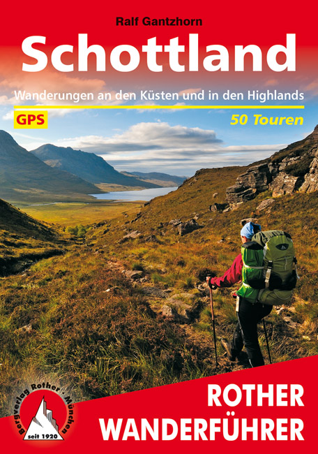
- Wandelgids Schottland - Schotland | Rother Bergverlag
- Uitstekende wandelgids met een groot aantal dagtochten in dal en hooggebergte. Met praktische informatie en beperkt kaartmateriaal! Wandelingen in verschillende zwaarte weergegeven in rood/blauw/zwart Denkt man an Schottland, hat man die Highlands vor Augen - grüne Hügel, felsige Kämme, tiefe Seen. Das wechselhafte Wetter sorgt für dramatische... Read more
De Zwerver
Netherlands
2018
Netherlands
2018
De Zwerver
Netherlands
2022
Netherlands
2022
De Zwerver
Netherlands
2021
Netherlands
2021
- Wandelgids Inverclyde and Renfrewshire | Pocket Mountains
- Bordered by the city of Glasgow to the east and the Firth of Clyde to the west, the villages and towns of Inverclyde and Renfrewshire prospered and grew during their textile manufacturing, sugar-refining and shipbuilding glory years. The factories, mills and yards may be quieter now but the natural assets which enabled much of that prosperity... Read more
- Also available from:
- Stanfords, United Kingdom

Stanfords
United Kingdom
2021
United Kingdom
2021
- Inverclyde and Renfrewshire: 40 favourite walks
- Bordered by the city of Glasgow to the east and the Firth of Clyde to the west, the villages and towns of Inverclyde and Renfrewshire prospered and grew during their textile manufacturing, sugar-refining and shipbuilding glory years. The factories, mills and yards may be quieter now but the natural assets which enabled much of that prosperity... Read more
De Zwerver
Netherlands
2018
Netherlands
2018
- Wandelgids 43 Speyside Way - Whisky Trail (Schotland) | Conrad Stein Verlag
- Wandelgids met een routebeschrijving van de Speyside weg in Schotland met veel praktische informatie en een goede beschrijving van de route. De kaarten zijn zeer leesbaar, maar wel een beetje grof van schaal.. Duitstalig. Der Speyside Way ist neben dem West Highland Way und dem Southern Upland Way der dritte im Bunde der klassischen... Read more
Meer boeken…
Kaarten
De Zwerver
Netherlands
2013
Netherlands
2013
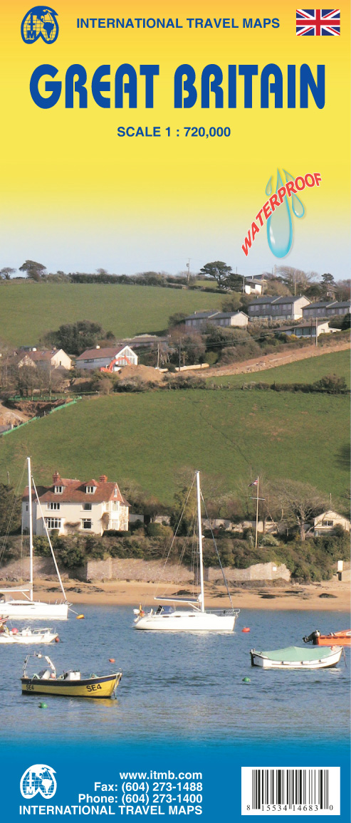
- Wegenkaart - landkaart Great Britain - Engeland - Schotland | ITMB
- Great Britain Travel Reference Map 1 : 720 000 ab 9.99 EURO 3rd Revised edition. Read more
De Zwerver
Netherlands
2019
Netherlands
2019

De Zwerver
Netherlands
Netherlands
- Wandelkaart - Fietskaart South Downs Way | Harvey Maps
- The South Downs Way, a 160km / 100 mile National Trail from Eastbourne to Winchester, presented at 1:40,000 on a light, waterproof and tear-resistant map from Harvey Map Services. The route is shown on nine panels, with additional small street plans of Eastbourne and Winchester. Map legend and the accompanying notes are also in French and... Read more
- Also available from:
- Stanfords, United Kingdom

Stanfords
United Kingdom
United Kingdom
- South Downs Way Harvey National Trail XT40
- The South Downs Way, a 160km / 100 mile National Trail from Eastbourne to Winchester, presented at 1:40,000 on a light, waterproof and tear-resistant map from Harvey Map Services. The route is shown on nine panels, with additional small street plans of Eastbourne and Winchester. Map legend and the accompanying notes are also in French and... Read more
De Zwerver
Netherlands
2023
Netherlands
2023
.jpg)
De Zwerver
Netherlands
Netherlands
- Wegenkaart - landkaart 501 Schotland | Michelin
- Entre lochs et châteaux, la carte REGION Ecosse est destinée à ceux qui souhaitent avoir une vision globale de la région, des grands axes comme des petites routes. Read more
De Zwerver
Netherlands
2022
Netherlands
2022
De Zwerver
Netherlands
2024
Netherlands
2024
De Zwerver
Netherlands
2019
Netherlands
2019
Meer kaarten…