
E2
Beschrijving
- Name E2 (E2)
- Lengte van pad 4,850 km, 3,014 mijl
- Lengte in dagen 250 dagen
- Start van pad Galway (Irl)
- Einde van pad Nice (F)
- Traildino graad EW, Makkelijke wandeling, natuurpad


North Sea – Lake Geneva – Mediterranean Sea
Trail planned to measure 4850 km, from Galway in Ireland to Nice in southern France. However the Irish portion is as yet non-existent. The trail now starts from Stranrear in Scotland, Great Britain and runs (and is waymarked) through the Netherlands/Belgium, Luxembourg and Switzerland, meandering in and out of France along the way. It ends on the French Mediterranean coast in Nice.
In Britain, after leaving the Pennine range, the trail splits into 2 alternative routes: the eastern route via Harwich, and the western route via Dover. After crossing to the continent the eastern route continues in the Netherlands, the western route in Belgium. The alternatives rejoin near the Belgian town of Zoersel.
The continental part of the E2 is almost identical to the popular GR5, the trail that connects Hoek van Holland in The Netherlands to Nice in France.
The E2 is made-up of many national trails:
Ireland
- Non-existent
- Galway will be future start
United Kingdom
Northern Route (unofficial)
- Inverness, start
- Great Glenn Way
- West Highland Way
Central Route
- Stranraer, current start
- Southern Upland Way
- St. Cuthbert's Way
- Pennine Way
Eastern branch
- Teesdale Way
- Cleveland way
- Yorkshire Wolds Way
- Viking Way
- Hereward Way
- Fen Rivers Way
- Icknield Way Path
- Stour Valley Path
- Essex Way
- Ferry Harwich – Hoek van Holland (Netherlands, connects to northern branch)
Western branch
- Pennine Way
- Staffordshire Way
- Heart of England Way
- Oxfordshire Way
- Oxford Canal Walk
- Thames Path
- North Downs Way
- Ferry Dover – Calais (France, connects to southern branch). (As some of you pointed out: The ferry Dover - Oostende is not operated anymore. Alternative: Channel Tunnel between Folkestone and Coquelles near Calais, France).
Netherlands (Northern branch)
- First village is Hoek van Holland
- Deltapad (LAW 5-1), Hoek van Holland - Bergen op Zoom
- GR5, Bergen op Zoom - Essen
Belgium
Southern branch, coming from United Kingdom
- First village is Oostende
- GR5a south, Oostende - Antwerpen
- Antwerpen - Deurne, Connecting trail
- GR565, Renier Sniederspad, Deurne - Zoersel,
- GR5 coming from the Netherlands, Zoersel - Diest - Luik - Luxembourg
Northern branch, coming from The Netherlands
- First village is Essen
- GR5, Essen - Ouren
- Last village is Ouren
Luxembourg (212 km)
- GR5 (red paint stops)
This could be broken down to the following paths:
- Our Path, Ouren – Diekirch. Near Hosingen, the E3 coming from the west joins the E2 / GR5
- Maurice Cosyn Path, Diekirch – Echternach
- Lower-Sûre Path, Echternach - Wasserbillig
- Moselle Path, Wasserbillig – Remerschen. Here, the E3 and E2 / GR5 are separated again
- South Path, Remerschen – Tétange / Rumelange
- Last village is Tétange / Rumelange
France
Switzerland
- Jura Höhenweg (southern tip, across Lake Geneva)
France again
- GR5
- Nice, finish
Kaart


Links
Feiten
Verslagen
Gidsen en kaarten
Overnachting
Organisaties
Reisorganisaties
GPS
Anders
Boeken


Netherlands
2017
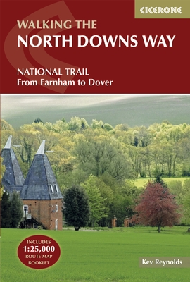
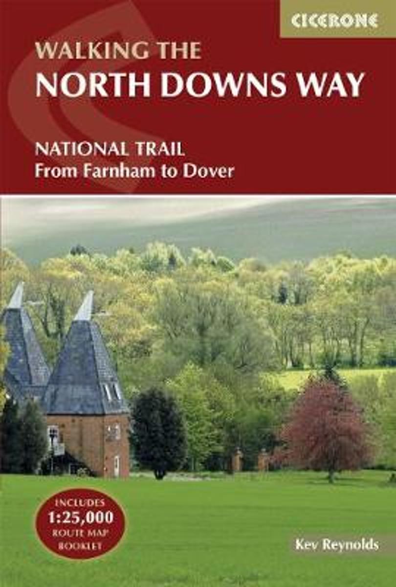
- Wandelgids The North Downs Way | Cicerone
- Guidebook to walking the North Downs Way National Trail, a 130 mile (208km) trail between Farnham and Dover, with an optional visit to Canterbury. Following the ancient Pilgrim's Way for much of the way, through pleasant countryside, this is one of the easier National Trails and the walk is described over 11 stages. With 1:25K OS map booklet. Read more
- Also available from:
- Bol.com, Netherlands
- Bol.com, Belgium
- The Book Depository, United Kingdom
Netherlands
2017
- The North Downs Way
- The North Downs Way National Trail is a 130 mile (208km) between the high downland of Farnham and the historic city of Dover on the Kent coast. The route is described in 11 day stages from west to east with an optional detour via Canterbury. Step-by-step route descriptions are fully illustrated with colour photographs and extracts from OS... Read more
Belgium
2017
- The North Downs Way
- The North Downs Way National Trail is a 130 mile (208km) between the high downland of Farnham and the historic city of Dover on the Kent coast. The route is described in 11 day stages from west to east with an optional detour via Canterbury. Step-by-step route descriptions are fully illustrated with colour photographs and extracts from OS... Read more

United Kingdom
2017
- The North Downs Way
- National Trail from Farnham to Dover Read more
Netherlands
2006
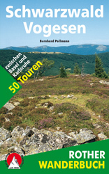
- Wandelgids Schwarzwald - Vogesen | Rother Bergverlag
- Uitstekende wandelgids van het Zwarte Woud en een deel van de Vogezen. Nauwkeurig beschreven met praktische info per tocht. De ‘Rother Wanderbücher’ behandelen telkens de 50 mooiste wandelingen, die variëren van eenvoudige kindvriendelijke wandelingen tot routes die aanzienlijk meer ervaring vereisen. Uitvoerige routebeschrijvingen, een... Read more
- Also available from:
- Bol.com, Netherlands
- Bol.com, Belgium
Netherlands
2006
- Schwarzwald - Vogesen
- Die schönsten und spannendsten Wanderberge im Schwarzwald und in den Vogesen präsentiert dieser Führer in einer Auswahl von 50 Wandervorschlägen für jede Kondition. Vom alpinen Steig am Feldberg, der höchsten Erhebung der deutschen Mittelgebirge, spannt sich der Bogen bis zum Grand Ballon, dem höchsten Berg der Vogesen, vom Belchen als dem... Read more
Belgium
2006
- Schwarzwald - Vogesen
- Die schönsten und spannendsten Wanderberge im Schwarzwald und in den Vogesen präsentiert dieser Führer in einer Auswahl von 50 Wandervorschlägen für jede Kondition. Vom alpinen Steig am Feldberg, der höchsten Erhebung der deutschen Mittelgebirge, spannt sich der Bogen bis zum Grand Ballon, dem höchsten Berg der Vogesen, vom Belchen als dem... Read more
Netherlands
- More Baskets And How To Make Them
- More Baskets AND How to Make Them MARY WHITE a Author of How to Make Baskets Illustrated from photographs, and drawings by the author GARDEN CITY NEW YORK DOUBLEDAY, PAGE COMPANY 1916 MORE BASKETS AND HOW TO MAKE THEM z - -2 1 r i c 5 Z c 2 L - L v 2 y T .C I n C C 2 2s - L M CLC g .E 2 Copyright. 1903, by Doubleday, Page Cornpant Publirhtd,... Read more
- Also available from:
- Bol.com, Belgium
Belgium
- More Baskets And How To Make Them
- More Baskets AND How to Make Them MARY WHITE a Author of How to Make Baskets Illustrated from photographs, and drawings by the author GARDEN CITY NEW YORK DOUBLEDAY, PAGE COMPANY 1916 MORE BASKETS AND HOW TO MAKE THEM z - -2 1 r i c 5 Z c 2 L - L v 2 y T .C I n C C 2 2s - L M CLC g .E 2 Copyright. 1903, by Doubleday, Page Cornpant Publirhtd,... Read more


Netherlands
- Also available from:
- The Book Depository, United Kingdom


Netherlands
- Also available from:
- The Book Depository, United Kingdom


Netherlands
- Also available from:
- The Book Depository, United Kingdom


Netherlands
- Also available from:
- The Book Depository, United Kingdom


Netherlands
- Also available from:
- The Book Depository, United Kingdom

Kaarten

United Kingdom
- Luxembourg North
- One of two topographic survey maps of Luxembourg at 1:50,000, with contours at 10-metres intervals and additional relief shading. An overprint highlights long-distance footpaths, including the GR5 (E-2), cycle routes, and various places of interest, including campsites. The map covers an area of approximately 53 x 43 km / 33 x 27 miles. Map... Read more

United Kingdom
- Luxembourg South
- One of two topographic survey maps of Luxembourg at 1:50,000, with contours at 10-metres intervals and additional relief shading. An overprint highlights long-distance footpaths, including the GR5 (E-2), cycle routes, and various places of interest, including campsites. The map covers an area of approximately 53 x 43 km / 33 x 27 miles. Map... Read more