
Brussels
Beschrijving
The region and city of Brussels is the center of Belgium.
Kaart

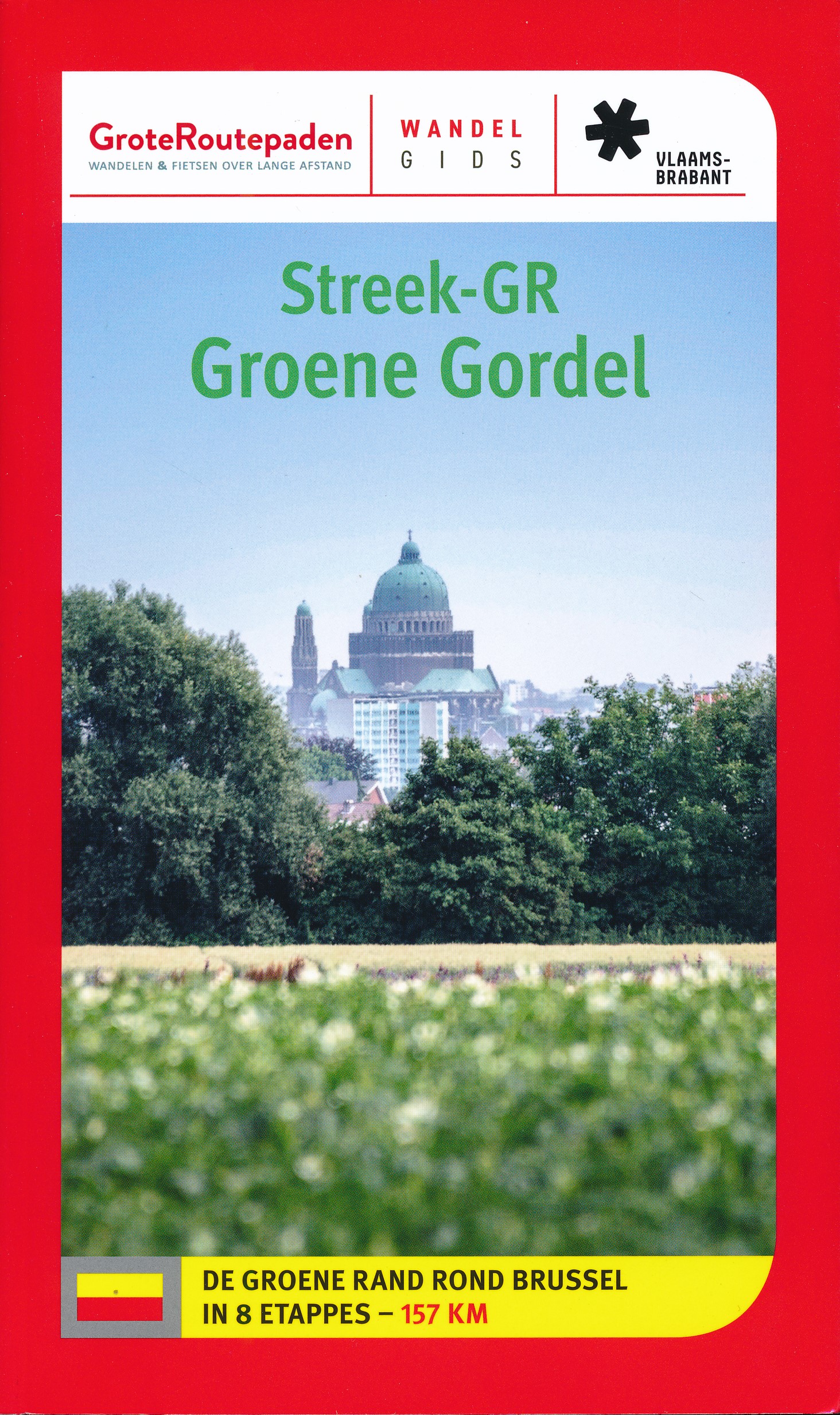
Paden in deze landsdeel
Links
Feiten
Verslagen
Gidsen en kaarten
Overnachting
Organisaties
Reisorganisaties
GPS
Anders
Boeken
De Zwerver
Netherlands
2015
Netherlands
2015
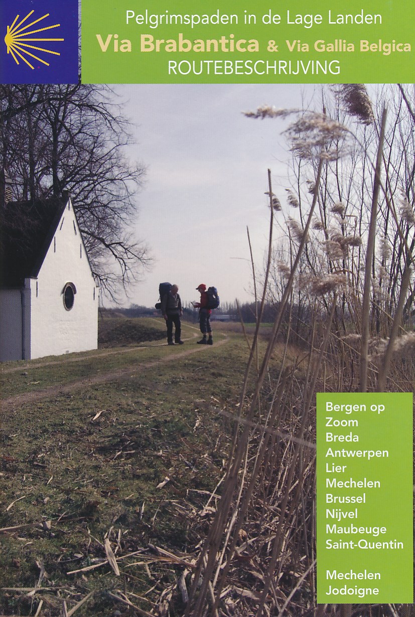
- Wandelgids - Pelgrimsroute Via Brabantica & Via Gallica Belgica | Vlaams Compostelagenootschap
- Deze beschrijving bestaat uit 2 verschillende boekjes: één voor de routebeschrijving en de andere bevat een groot aantal gedetailleerde kaarten van de route op schaal 1:50.000. De route is op deze kaarten keurig ingetekend. Let wel: deze boekjes zijn niet los verkrijgbaar, je zult de set moeten aanschaffen. Maar ook juist aan de... Read more
De Zwerver
Netherlands
2019
Netherlands
2019
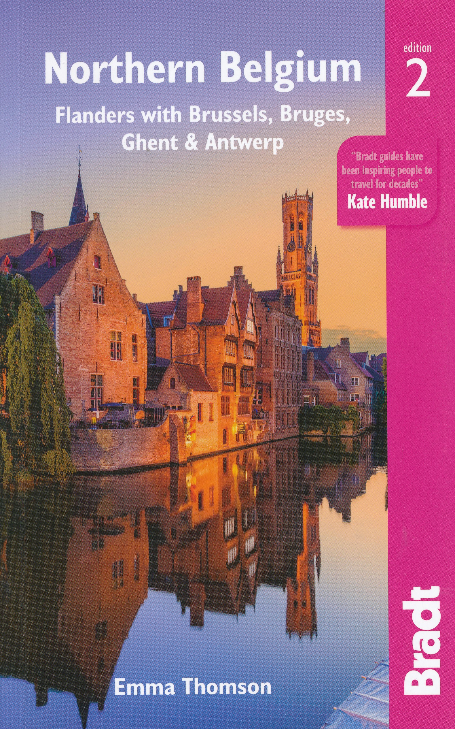
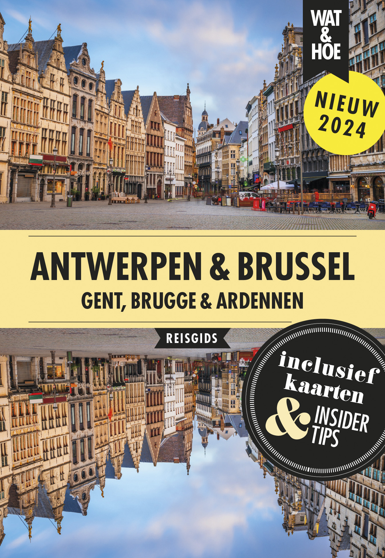
- Reisgids Travel guides Northern Belgium | Bradt Travel Guides
- Northern Belgium ab 17.49 EURO Flanders with Brussels, Bruges, Ghent and Antwerp The Bradt Travel Guide. 2nd Revised edition Read more
De Zwerver
Netherlands
2023
Netherlands
2023
De Zwerver
Netherlands
2016
Netherlands
2016
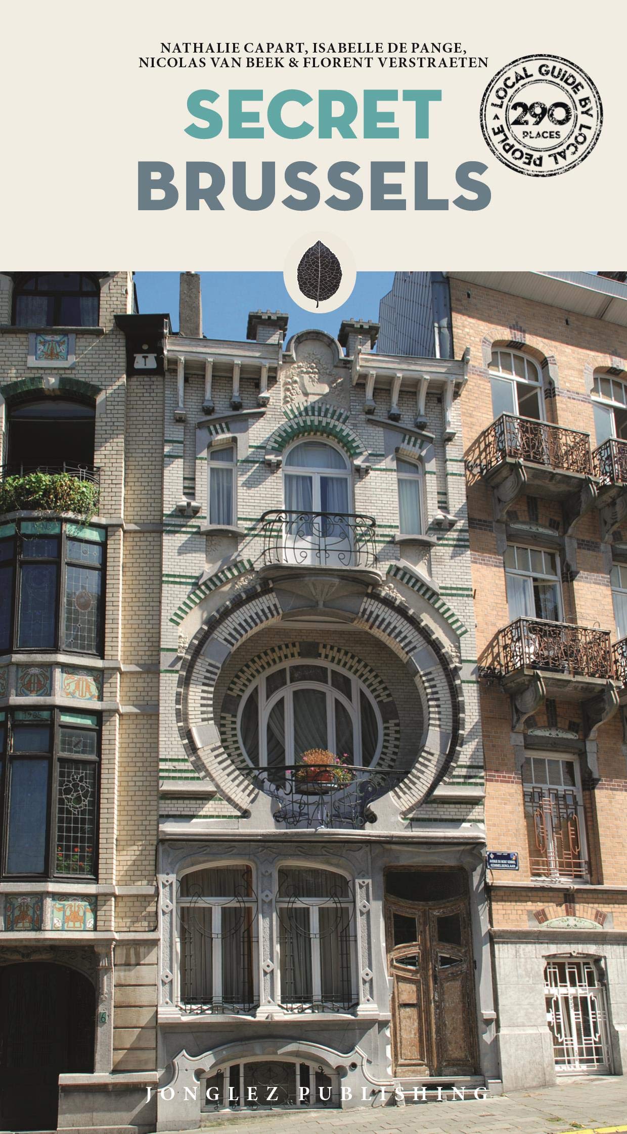
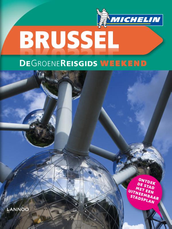
- Reisgids Michelin groene gids weekend Brussel | Lannoo
- Voor wie slechts één compacte stadsgids in zijn tas wil stoppen en toch geen enkele bezienswaardigheid of topadres wil missen. Dé gids om Brussel écht te ontdekken: de plaatsen waar u de stad in zijn authenticiteit proeft, de evenementen van het ogenblik, de heerlijkste shoppingadressen... En daarbovenop, een handige kaart van het openbaar... Read more
De Zwerver
Netherlands
2023
Netherlands
2023
De Zwerver
Netherlands
2018
Netherlands
2018
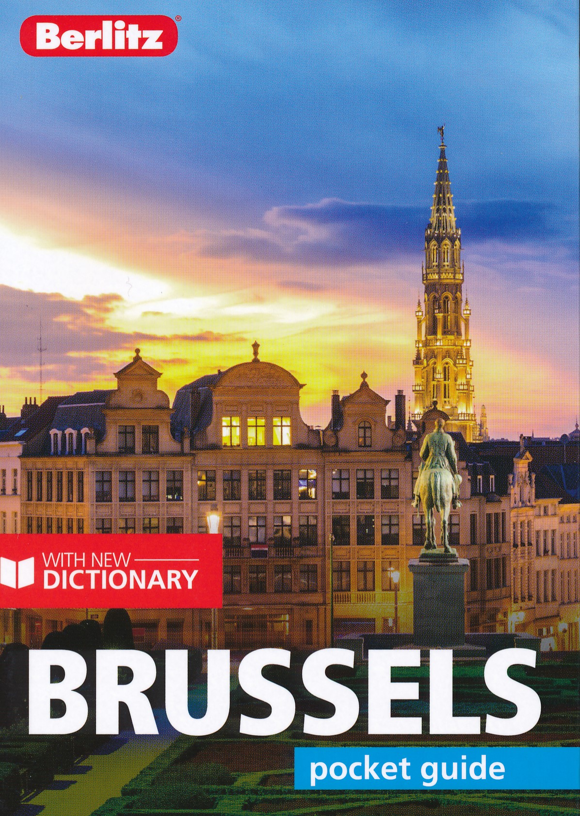
- Reisgids Pocket Guide Brussels - Brussel | Berlitz
- Brussels Pocket Guide Berlitz is een handzaam engelstalige reisgids met bezienswaardigheden, kaartjes, hotels en restaurants This Berlitz Pocket Guide to Brussels provides all the information you need to enjoy this historic city. Clear colour-coded sections enable you to locate the information you need easily and full colour fold-out maps... Read more


De Zwerver
Netherlands
2004
Netherlands
2004
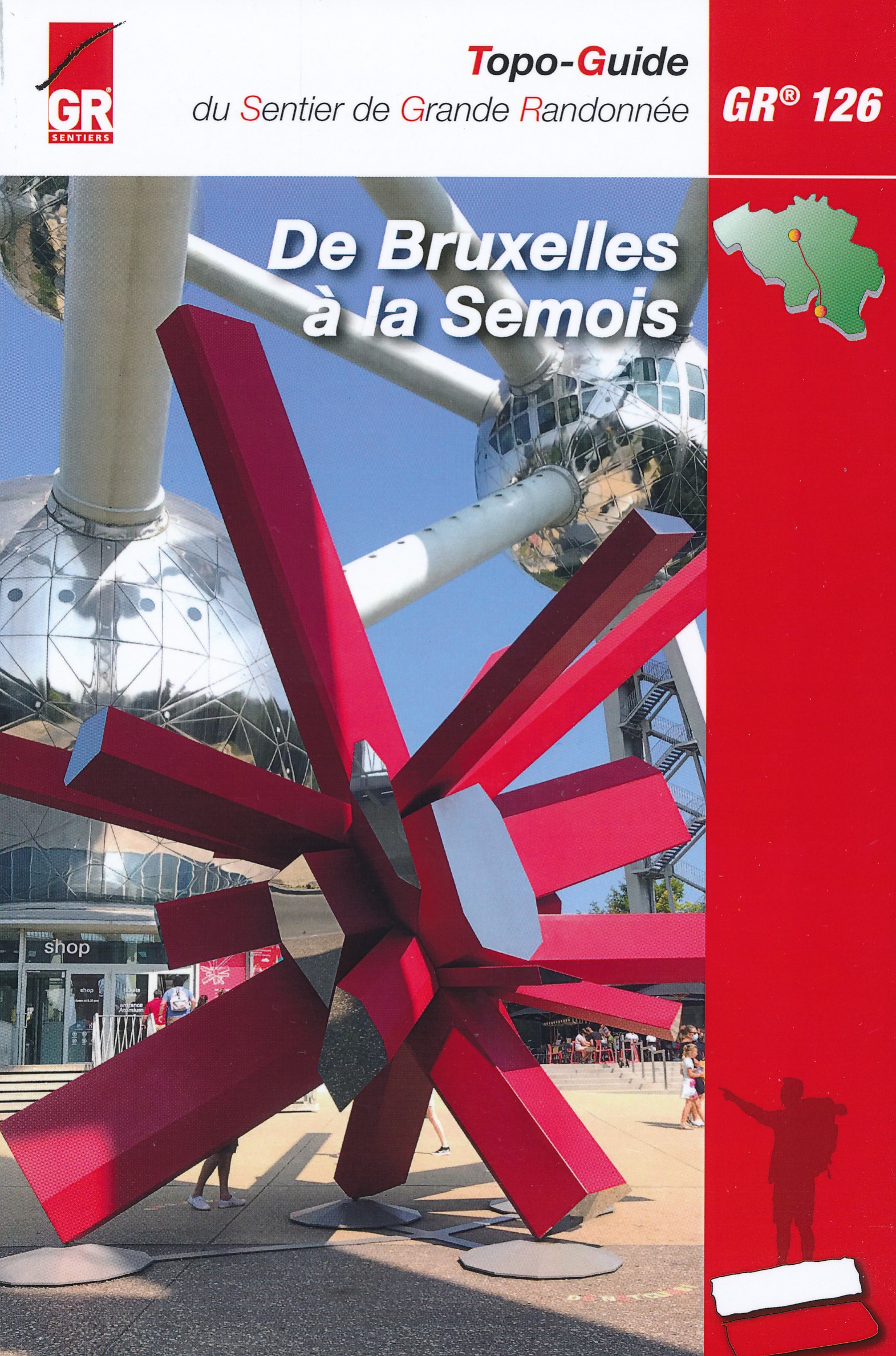
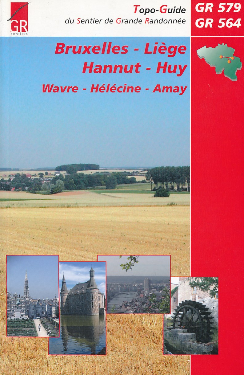
- Wandelgids Bruxelles - Liege - Hannut - Huy | GR Sentiers
- De GR 579 start bij de wandelboom achter de Sint Michielskathedraal in Brussel; op die plaats komen ook de GR 12 en de GR 126 voorbij. Van Brussel gaat het door het Terkamerenbos en Watermael-Bosvoorde naar het Zoniënwoud. Als je dat verlaat kruis je in Huldenberg de GR 512 om door een glooiend landschap naar Pécrot op Waals grondgebied te... Read more
De Zwerver
Netherlands
2022
Netherlands
2022
Bol.com
Netherlands
2016
Netherlands
2016
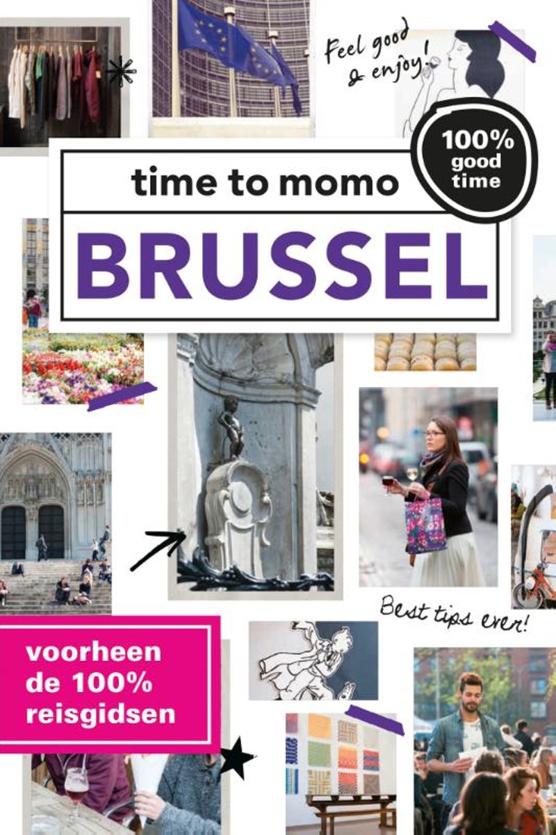
- time to momo - Brussel
- Dit is de vernieuwde versie van de 100% Brussel-gids! Jij gaat Brussel ontdekken! Volgens sommigen het nieuwe Berlijn, maar de meningen hierover zijn verdeeld. Oordeel vooral zelf, maar dat Brussel bruist is zeker! De stad biedt meer dan alleen wafels, chocolade, bier en frieten. Meer dan Manneken Pis, het Atomium en de Grote Markt. Meer dan de... Read more
- Also available from:
- Bol.com, Belgium
Bol.com
Belgium
2016
Belgium
2016
- time to momo - Brussel
- Dit is de vernieuwde versie van de 100% Brussel-gids! Jij gaat Brussel ontdekken! Volgens sommigen het nieuwe Berlijn, maar de meningen hierover zijn verdeeld. Oordeel vooral zelf, maar dat Brussel bruist is zeker! De stad biedt meer dan alleen wafels, chocolade, bier en frieten. Meer dan Manneken Pis, het Atomium en de Grote Markt. Meer dan de... Read more
Kaarten
De Zwerver
Netherlands
Netherlands
De Zwerver
Netherlands
2021
Netherlands
2021
De Zwerver
Netherlands
Netherlands
- Also available from:
- Stanfords, United Kingdom

Stanfords
United Kingdom
United Kingdom
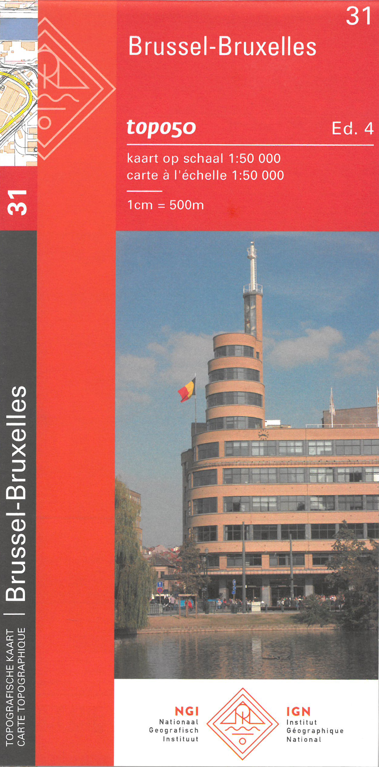
- Brussels NGI Topo 31
- Topographical survey of Belgium at 1:50,000 from the country’s national survey organization, Nationaal Geografisch Instituut / Institut Géographique National. Contour interval varies according to the terrain, from 2.5 metres in the coastal areas to 10 metres in the Ardennes. The maps provide all the information expected of topographic mapping... Read more
De Zwerver
Netherlands
Netherlands
- Also available from:
- Stanfords, United Kingdom

Stanfords
United Kingdom
United Kingdom
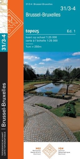
- Brussels NGI Topo 31/3-4
- Topographical survey of Belgium at 1:20,000 from Nationaal Geografisch Instituut / Institut Géographique National, the country’s national survey organization. Each 20K map covers one quarter of the corresponding 1:50,000 map (with adjustments in the border and coastal areas). The maps provide all the information expected of topographic mapping... Read more

Stanfords
United Kingdom
United Kingdom
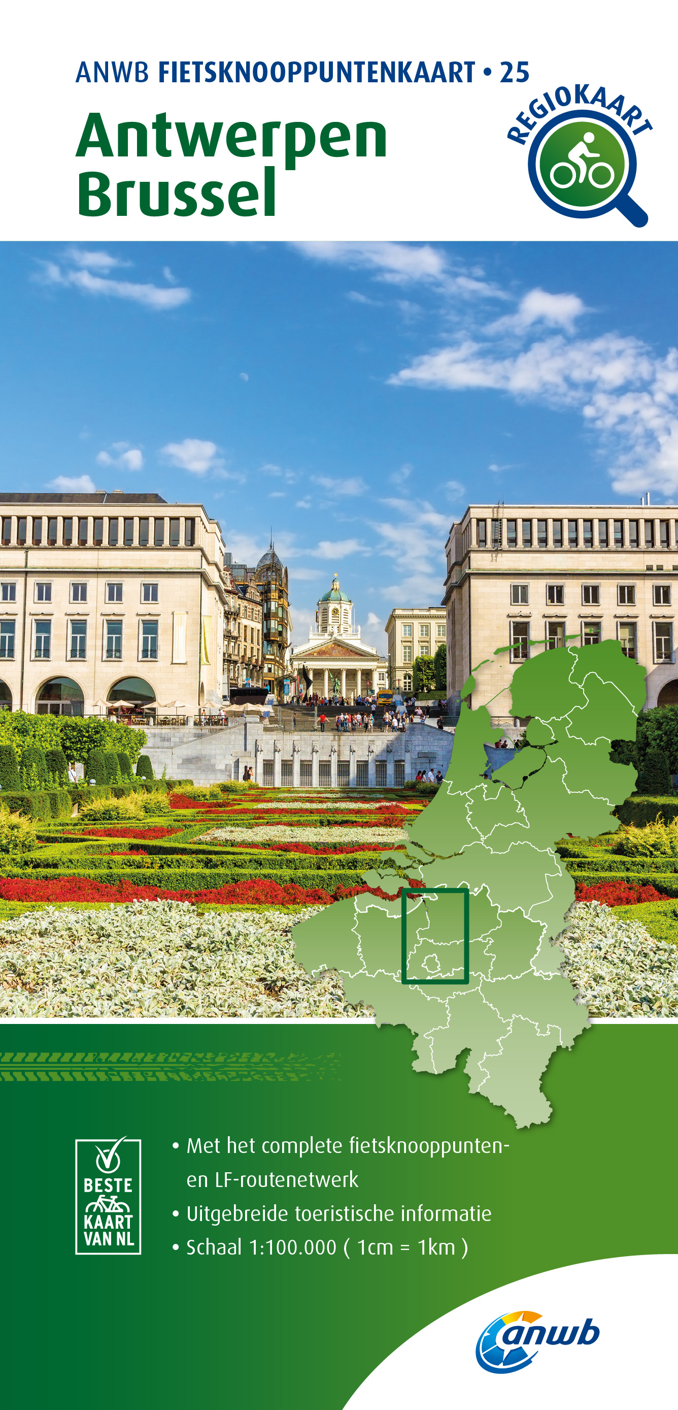
- Flemish Brabant Falkplan Cycling Map 36
- Brussels region and the eastern part of the Flemish Brabant province of Belgium at 1:50,000 in a series from Falk B.V. showing the network of signposted cycling routes on large, double-sided indexed maps with prominent highlighting of long-distance LF routes, symbols indicating accommodation and other tourist services, plus in each title two or... Read more

Stanfords
United Kingdom
United Kingdom
- Brussels Borch
- Tourist street plan for visitors to Brussels: clear, indexed, laminated and waterproof, highlighting 30 top sights. The main plan at 1:12,000 extends from the Midi/Zuid station (Eurostar’s terminal) to the Exhibition grounds with the Atomium, and east/west from the Sacré-Cœur Basilique to the museums in the Cinquantenaire/Jubel Park. On the... Read more

Stanfords
United Kingdom
United Kingdom
- Ardennes Falkplan Cycling Map 37
- Brussels region and the eastern part of the Flemish Brabant province of Belgium at 1:50,000 in a series from Falk B.V. showing the network of signposted cycling routes on large, double-sided indexed maps with prominent highlighting of long-distance LF routes, symbols indicating accommodation and other tourist services, plus in each title two or... Read more