
Santiago de Compostela Pilgrims Way
Beschrijving
- Name Santiago de Compostela Pilgrims Way
- Einde van pad Santiago de Compostela
- Traildino graad MW, Gemiddelde wandeling, trektocht
- Huttentrektocht graad T1, Wandeling


Ever since the year 813, when the tomb of St.James was claimed to be (re-)discovered there, the city of Santiago de Compostela in northwestern Spain has attracted many thousands of Christian pilgrims from all parts of Europe, particularly in the Middle Ages. As a result, there is no single route or trail. Of course, it all depends on where you start your pilgrimage.
Almost every West European country has an association, society or confraternity dedicated to pilgrimage to Santiago de Compostela, often carrying the name of the apostle involved: St.James, known by numerous translations such as Sint Jacob, Sint Jakobus, Saint-Jacques, Sankt Jakob, Sant Iago, etc. These organisations all provide information on the pilgrimage to their members, and also issue an official internationally recognized ‘pilgrim pass'. Having collected the correct stamps en route, pass-holders are entitled to the official ‘Compostela' certificate to prove that the pilgrimage was accomplished as intended.
Visit Traildino's overview page for the Way of Saint James / Camino de Santiago.
Kaart


Links
Feiten
Verslagen
Gidsen en kaarten
Overnachting
Organisaties
Reisorganisaties
GPS
Anders
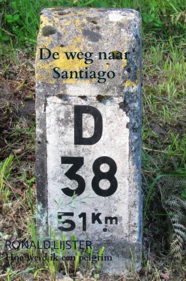
Boeken
Netherlands
2019
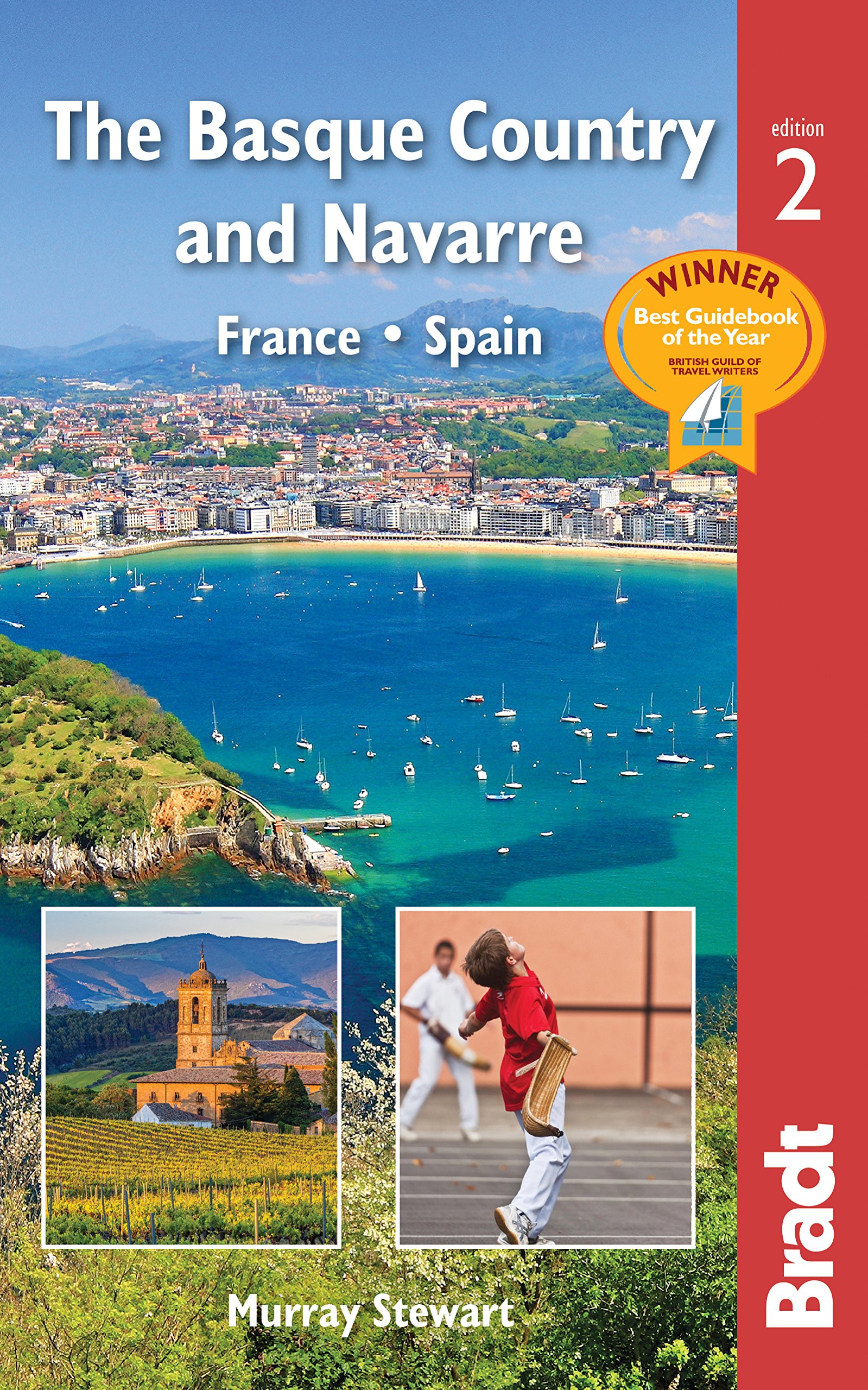
- Reisgids The Basque Country and Navarre - Baskenland | Bradt Travel Guides
- This new, thoroughly updated edition of Bradt`s award-winning guide to the Basque Country and Navarre remains the most comprehensive and in-depth guide available to this multi-lingual, multi-cultural borderland encompassing parts of southern France and northern Spain. This fully revised second edition includes all the elements required for an... Read more
- Also available from:
- Stanfords, United Kingdom

United Kingdom
2019
- Basque Country and Navarre: France and Spain Bradt Guide
- This new, thoroughly updated edition of Bradt`s award-winning guide to the Basque Country and Navarre remains the most comprehensive and in-depth guide available to this multi-lingual, multi-cultural borderland encompassing parts of southern France and northern Spain. This fully revised second edition includes all the elements required for an... Read more

Netherlands
2023

Netherlands
2017
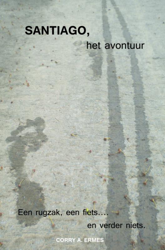
- Reisverhaal Himmel, Hergott, Portugal - Der portugische Jakobsweg | Herbert Hirschler
- Himmel, Herrgott, Portugal - Der portugiesische Jakobsweg ab 20.5 EURO An der Küste von Lissabon über Porto nach Santiago de Compostela Read more

Netherlands
2023
Netherlands
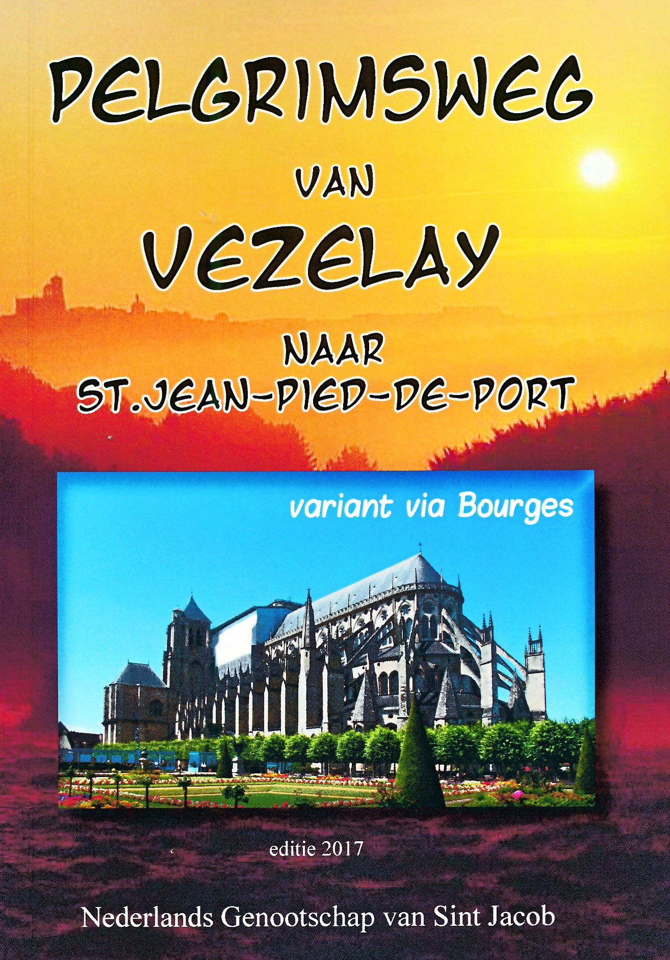
2017
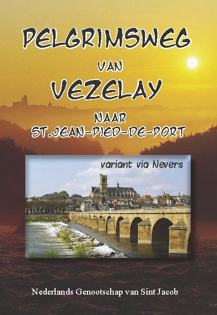
- Wandelgids Pelgrimsweg van Vezelay naar St.Jean-pied-de-Port via Nevers | Nederlands Genootschap van Sint Jacob
- Opvallende goede gids van dit deel van de St. Jacobsroute: men heeft goed kaartmateriaal gebruikt waar de route keurig op staat ingetekend. Ook een uitgebreide beschrijving ontbreekt niet .... alleen jammer dat het niet met een ringband is uitgevoerd. Deze gids beschrijft de route vanaf Vézelay tot St.Jean-Pied-de-Port en is gebaseerd op de... Read more
Netherlands
2018
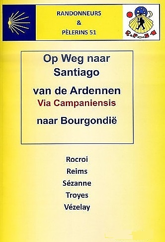
- Wandelgids Via Campaniensis - op weg naar Santiago | Randonneurs 51
- Voor de Santaigo wandelaars die vanuit Nederland op pad gaan is dit een waardevolle aanvullende op de route via Vezelay. Deze gids beschrijft nauwkeurig en met goed kaartmateriaal de route van de Frans - Belgische grens van Rocroi naar Vezelay als vervanger van de Franstalige gids van de FFRP van Namen naar Vezelay. Deze gids is... Read more
Netherlands
2024
Netherlands
2017
- Wandelgids Pelgrimsweg van Vezelay naar St.Jean-pied-de-Port via Bourges | Nederlands Genootschap van Sint Jacob
- Opvallende goede gids van dit deel van de St. Jacobsroute: men heeft goed kaartmateriaal gebruikt waar de route keurig op staat ingetekend. Ook een uitgebreide beschrijving ontbreekt niet .... alleen jammer dat het niet met een ringband is uitgevoerd. Deze gids beschrijft de route vanaf Vézelay tot St.Jean-Pied-de-Port en is gebaseerd op de... Read more
Netherlands
2023
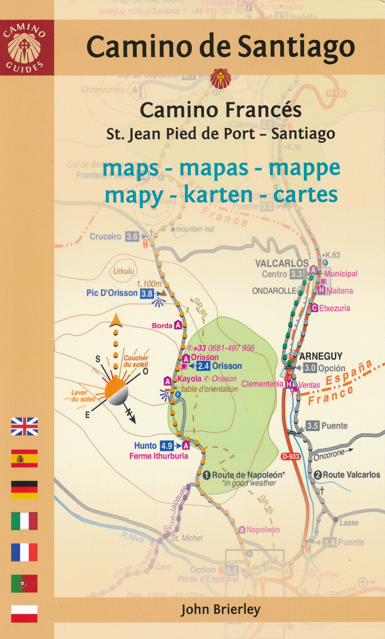
Kaarten

Netherlands
2020
- Wandelatlas - Pelgrimsroute (kaart) 161 Chemins de Compostelle GR65 | Michelin
- Véritable petit atlas détaillant chaque étape avec indications précises concernant les villes de départ et d'arrivée ainsi que pour les localités traversées (auberges, refuges, restaurants, pharmacies, gare, épiceries, Km parcourus, Km restants....).Ce petit atlas suit le chemin du... Read more

Netherlands
- Wandelkaart - Pelgrimsroute (kaart) 133 Spanischer Jakobsweg | Kompass
- The main route of the Way of St James to Compostela across northern Spain presented at 1:100,000 on a durable, waterproof and tear-resistant map from Kompass, arranged as 26 separate strips, each with a route profile, plus additional street plans of central Logro Read more
- Also available from:
- Stanfords, United Kingdom

United Kingdom
- The Way of St. James to Compostela: Spanish Section
- The main route of the Way of St James to Compostela across northern Spain presented at 1:100,000 on a durable, waterproof and tear-resistant map from Kompass, arranged as 26 separate strips, each with a route profile, plus additional street plans of central Logroño, Burgos, León and Santiago itself.The whole route is covered on 26 panels, each... Read more

Netherlands
2020
- Wandelatlas - Pelgrimsroute (kaart) 160 Camino de Santiago | Michelin
- Parcourez le Chemin Français (Camino Francés) avec ce petit atlas de poche Michelin. L'outil idéal pour mieux s'y retrouver lors de la préparation du voyage de randonnée sur ce sentier historique qui part de Saint-Jean-Pied-de-Port, dans le Pays basque français, et qui traverse tout le nord de l'Espagne... Read more

Netherlands
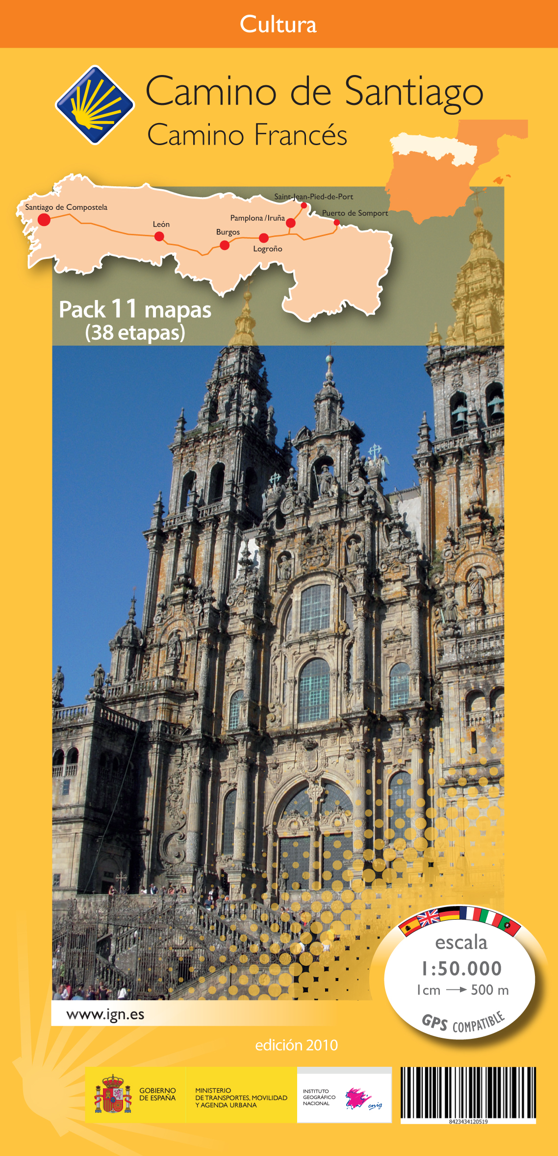
- Pelgrimsroute (kaart) - Wandelkaart Camino de Santiago in Spanje | CNIG - Instituto Geográfico Nacional
- All roads leading to Santiago de Compostela in the Iberian Peninsula are represented on this Caminos de Santiago / The Way of St. James Map. Routes highlighted on a physical map of the Iberian Peninsula at 1:1,250,000 from IGN/CNIG, Spain civilian topographic survey organization. The base map with altitude colouring and relief shading provides... Read more
- Also available from:
- Stanfords, United Kingdom

United Kingdom
- Caminos de Santiago / Ways of St. James on the Iberian Peninsula CNIG Overview Map
- All roads leading to Santiago de Compostela in the Iberian Peninsula are represented on this Caminos de Santiago / The Way of St. James Map. Routes highlighted on a physical map of the Iberian Peninsula at 1:1,250,000 from IGN/CNIG, Spain civilian topographic survey organization. The base map with altitude colouring and relief shading provides... Read more

Netherlands
2021
- Also available from:
- Stanfords, United Kingdom

United Kingdom
2021
- France - Ways of St James IGN Map 922
- France: Ways of St James to Compostela Map from the IGN presents an overview of all the routes across France taken by pilgrims on their way to Santiago de Compostela and the tomb of the apostle St James - the greatest of all goals for thousands of pilgrims in Europe during the Middle Ages. The map was prepared by the IGN and the Association de... Read more
Netherlands
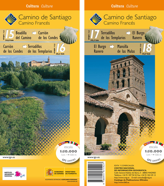
- Wandelkaart 15-18 Camino Santiago de Compostella Boadilla - Mansilla | CNIG - Instituto Geográfico Nacional
- Camino de Santiago: Stages 15/16/17/18, Boadilla del Camino/Mansilla de las Mulas, in a series of double-sided topographic maps at 1:50,000 from the Spanish civilian survey organization, overprinted with the route and sights, plus information of accommodation and other facilities, route profiles, etc.Each 1:50,000 map is double-sided and has... Read more
- Also available from:
- Stanfords, United Kingdom

United Kingdom
- Camino de Santiago: Stages 15/16/17/18, Boadilla del Camino/Mansilla de las Mulas 50K CNIG Map
- Camino de Santiago: Stages 15/16/17/18, Boadilla del Camino/Mansilla de las Mulas, in a series of double-sided topographic maps at 1:50,000 from the Spanish civilian survey organization, overprinted with the route and sights, plus information of accommodation and other facilities, route profiles, etc.Each 1:50,000 map is double-sided and has... Read more
Netherlands
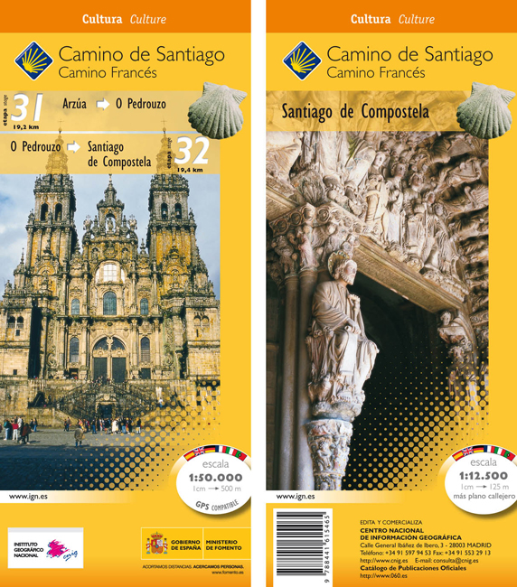
- Wandelkaart 31-32 Camino Santiago de Compostella Arzúa - Santiago | CNIG - Instituto Geográfico Nacional
- The Way of St James: the two last stages, 31 and 32, from Arzúa to Santiago de Compostela, plus a street plan of Santiago de Compostela in a series of double-sided topographic maps at 1:50,000 from the Spanish civilian survey organization, overprinted with the route and sights, plus information of accommodation and other facilities, route... Read more
- Also available from:
- Stanfords, United Kingdom
United Kingdom
- Camino de Santiago: Stages 31/32, Arzúa/Santiago de Compostela 50K CNIG Map
- The Way of St James: the two last stages, 31 and 32, from Arzúa to Santiago de Compostela, plus a street plan of Santiago de Compostela in a series of double-sided topographic maps at 1:50,000 from the Spanish civilian survey organization, overprinted with the route and sights, plus information of accommodation and other facilities, route... Read more
Netherlands
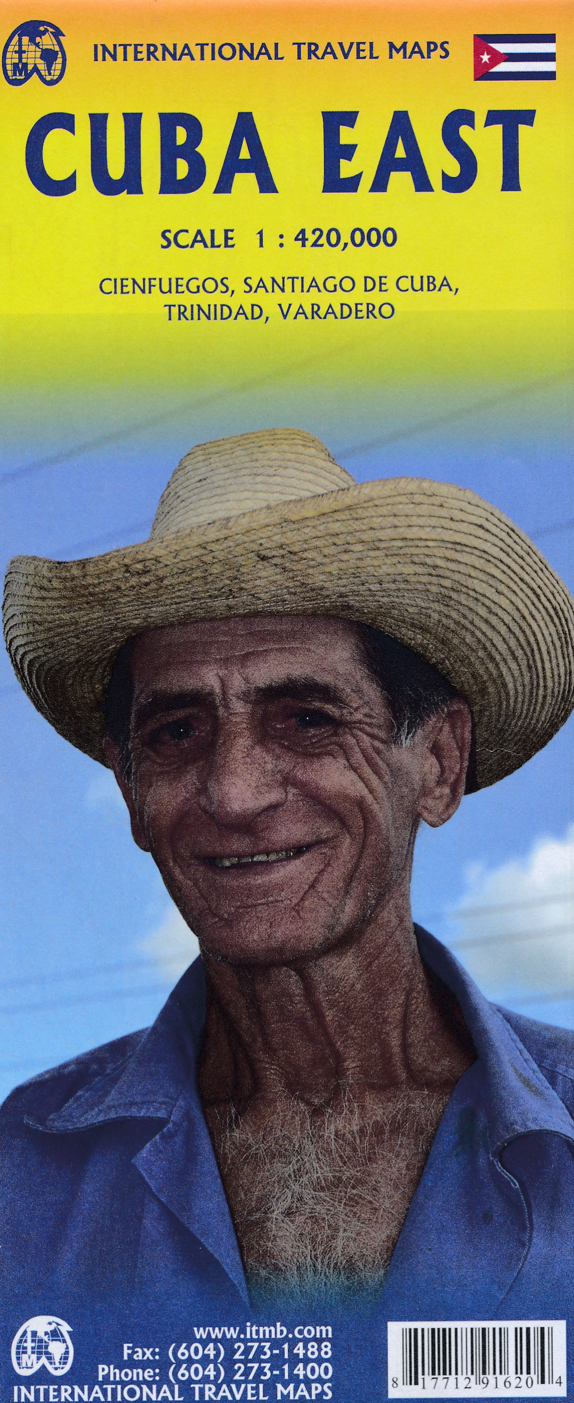
- Wegenkaart - landkaart Cuba east | ITMB
- Cuba East 1:42 0000 ab 10.49 EURO Landkarte, doppelseitig Pläne Varadero, Cienfuegos, Trinidad, Santiago International Travel Map ITM. 1. Auflage Read more
Netherlands
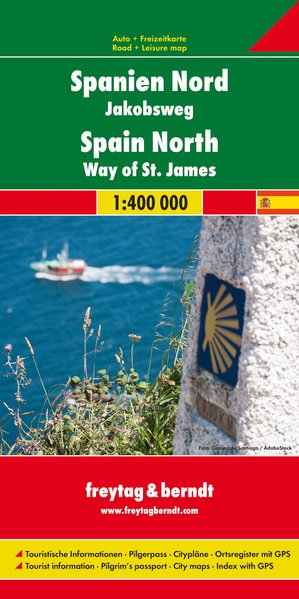
- Wegenkaart - landkaart Spanje Noord - Camino de Santiago | Freytag & Berndt
- Spanien - Jakobsweg, Autokarte 1:400.000 ab 10.9 EURO Touristische Informationen, Pilgerpass, Citypläne, Ortsregister mit GPS Freytag & Berndt Autokarte Read more
Netherlands
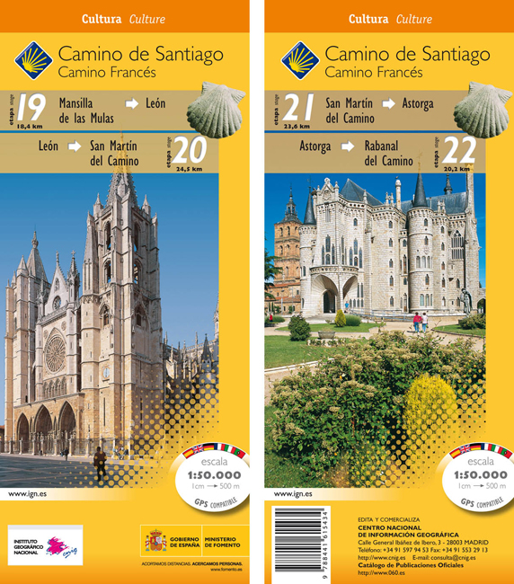
- Wandelkaart 19-22 Camino Santiago de Compostella Mansilla - Rabanal | CNIG - Instituto Geográfico Nacional
- Camino de Santiago: Stages 19/20/21/22, Mansilla de las Mulas/Rabanal del Camino, in a series of double-sided topographic maps at 1:50,000 from the Spanish civilian survey organization, overprinted with the route and sights, plus information of accommodation and other facilities, route profiles, etc.Each 1:50,000 map is double-sided and has... Read more
- Also available from:
- Stanfords, United Kingdom

United Kingdom
- Camino de Santiago: Stages 19/20/21/22, Mansilla de las Mulas/Rabanal del Camino 50K CNIG Map
- Camino de Santiago: Stages 19/20/21/22, Mansilla de las Mulas/Rabanal del Camino, in a series of double-sided topographic maps at 1:50,000 from the Spanish civilian survey organization, overprinted with the route and sights, plus information of accommodation and other facilities, route profiles, etc.Each 1:50,000 map is double-sided and has... Read more

Netherlands
- Wegenkaart - landkaart Camino de Santiago - Camino Frances | CNIG - Instituto Geográfico Nacional
- Northern Spain on an overview map at 1:500,000 highlighting the course of the Camino Francés route of the Way of St James from the Pyrenees to Santiago de Compostela via Burgos and León. Published by Spain’s civilian survey organization as part of their set providing topographic coverage of the route at 1:50,000, the map is also available... Read more
- Also available from:
- Stanfords, United Kingdom

United Kingdom
- Way of St James / Camino de Santiago CNIG Overview Map
- Northern Spain on an overview map at 1:500,000 highlighting the course of the Camino Francés route of the Way of St James from the Pyrenees to Santiago de Compostela via Burgos and León. Published by Spain’s civilian survey organization as part of their set providing topographic coverage of the route at 1:50,000, the map is also available... Read more
Netherlands
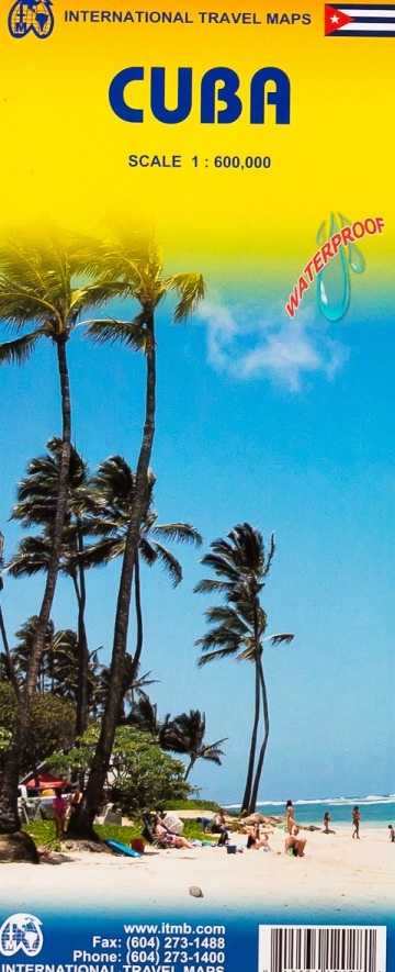
- Wegenkaart - landkaart Cuba | ITMB
- Cuba ( Kuba) 1 : 600 000 ab 10.49 EURO La Habana, Varadero, Santiago de Cuba International Travel Map ITM. new edition Read more
Netherlands
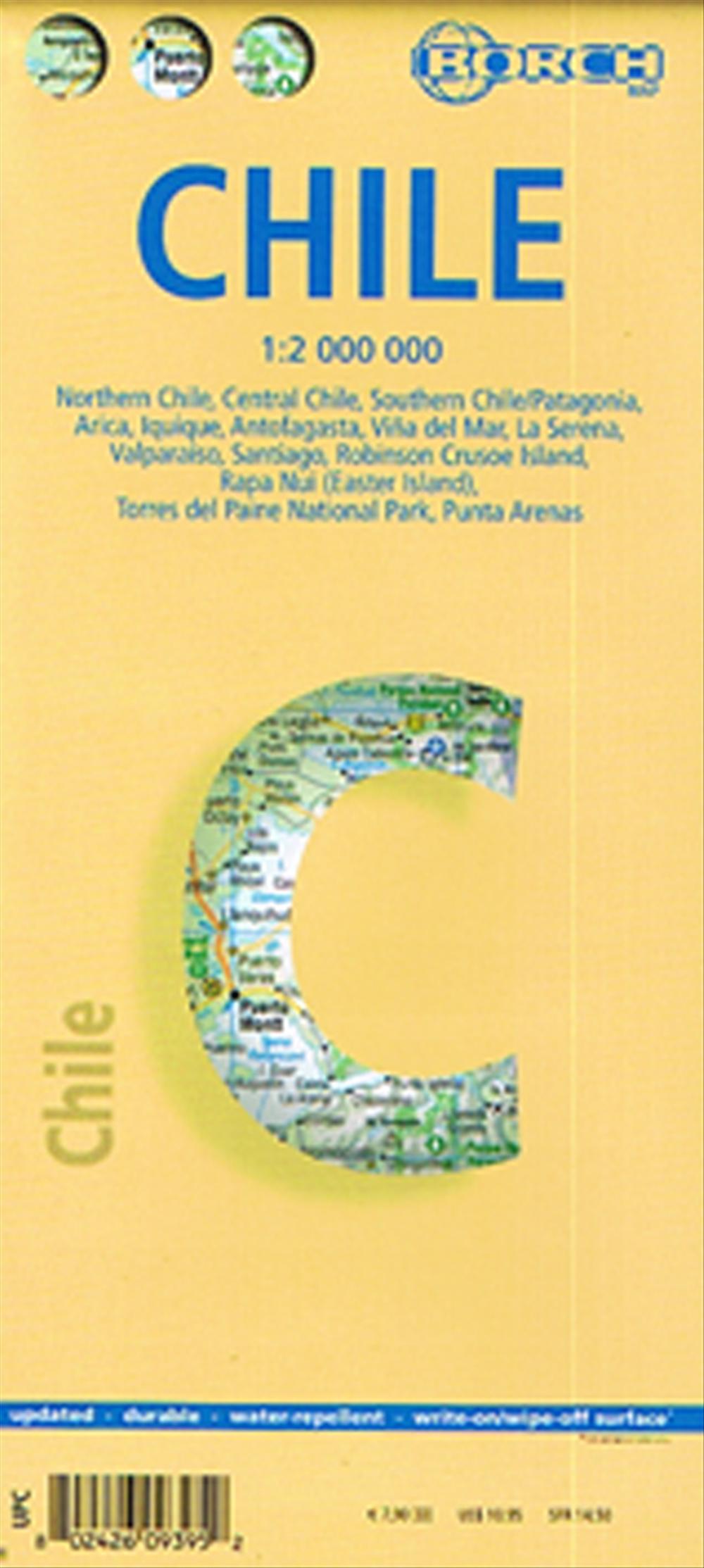
- Wegenkaart - landkaart Chile - Chili | Borch
- Chile 1 : 2 000 000 ab 9.9 EURO Maps: Chile sur Patagonia 1:2 000 000, Parque Nacional Torres del Paine 1:240 000, Isla Robinson Crusoe 1:200 000, Rapa Nui Isla de Pascua 1:160 000, Punta Arenas, Antofagasta, Iquique 1:15 000, Valparaíso 1:10 000, Arica 1:16 000, La Serena 1:13 000, Viña del Mar 1:22 000, Santiago 1:20 000 Borch Map. 7. Auflage Read more

Netherlands
- Wandelkaart 23-26 Camino Santiago de Compostella Rabanal - Triacastela | CNIG - Instituto Geográfico Nacional
- Camino de Santiago: Stages 23/24/25/26, Rabanal del Camino/Triacastela, in a series of double-sided topographic maps at 1:50,000 from the Spanish civilian survey organization, overprinted with the route and sights, plus information of accommodation and other facilities, route profiles, etc.Each 1:50,000 map is double-sided and has four 57 x... Read more
- Also available from:
- Stanfords, United Kingdom

United Kingdom
- Camino de Santiago: Stages 23/24/25/26, Rabanal del Camino/Triacastela 50K CNIG Map
- Camino de Santiago: Stages 23/24/25/26, Rabanal del Camino/Triacastela, in a series of double-sided topographic maps at 1:50,000 from the Spanish civilian survey organization, overprinted with the route and sights, plus information of accommodation and other facilities, route profiles, etc.Each 1:50,000 map is double-sided and has four 57 x... Read more
Netherlands
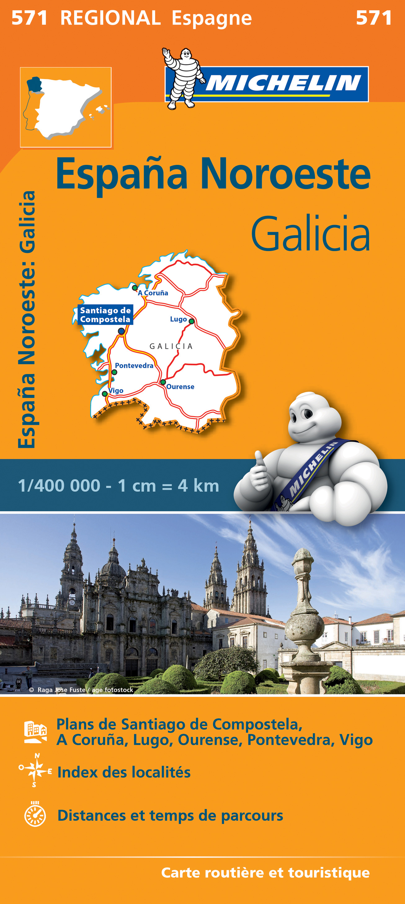
- Wegenkaart - landkaart 571 Galicia - Santiago de Compostela - Vigo - La Curuna (Galicië) noordwest Spanje | Michelin
- Une carte fiable pour parcourir les régions d'Europe Read more