Alsace
Beschrijving
Alsace is a region on the western banks of the Rhine river, in France. It's a popular hiking area, including the Vosges: dense forested hills in the North and wider and higher hills in the South.
Paden in deze regio
Links
Feiten
Verslagen
Gidsen en kaarten
Overnachting
Organisaties
Reisorganisaties
GPS
Anders
Boeken


De Zwerver
Netherlands
2021
Netherlands
2021

De Zwerver
Netherlands
2021
Netherlands
2021
De Zwerver
Netherlands
2016
Netherlands
2016
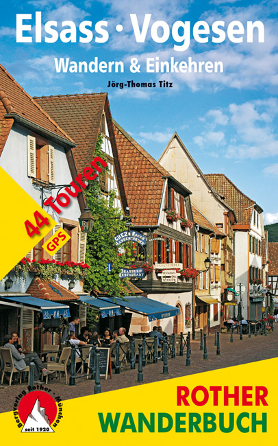
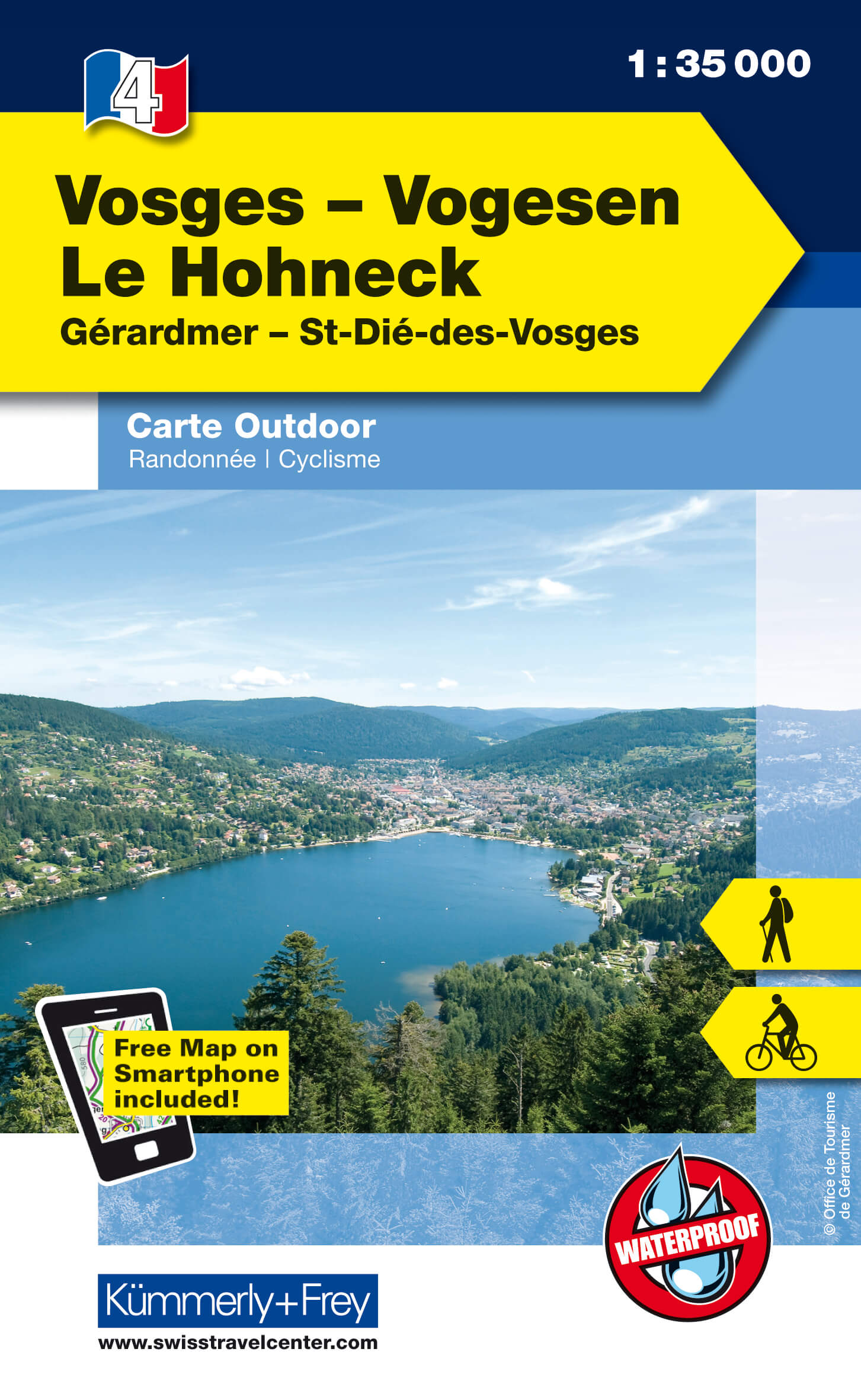
- Wandelgids Elsass - Vogesen, Elzas - Vogezen Wandern & Einkehren. | Rother Bergverlag
- 50 Touren. Mit GPS-Daten Read more


De Zwerver
Netherlands
2021
Netherlands
2021


De Zwerver
Netherlands
2021
Netherlands
2021
- Wandelgids 265 Vogesen - Durchquerung: GR53 GR5 | Rother Bergverlag
- In 37 etappes over de Lange Astands Wandelingen GR 53, GR 5 en GR 531 van Wissembourg naar Giromagny en Masevaux door de prachtige Vogezen. Goed alternatief voor de langverwachte maar nog steeds niet uitgekomen Crete des Vosges wandelgids van FFRP. Duitse samenvatting: Die Vogesen sind nicht nur eines der urwüchsigsten Mittelgebirge in unseren... Read more


De Zwerver
Netherlands
2021
Netherlands
2021

De Zwerver
Netherlands
2022
Netherlands
2022

De Zwerver
Netherlands
2024
Netherlands
2024
Meer boeken…

Kaarten
De Zwerver
Netherlands
Netherlands
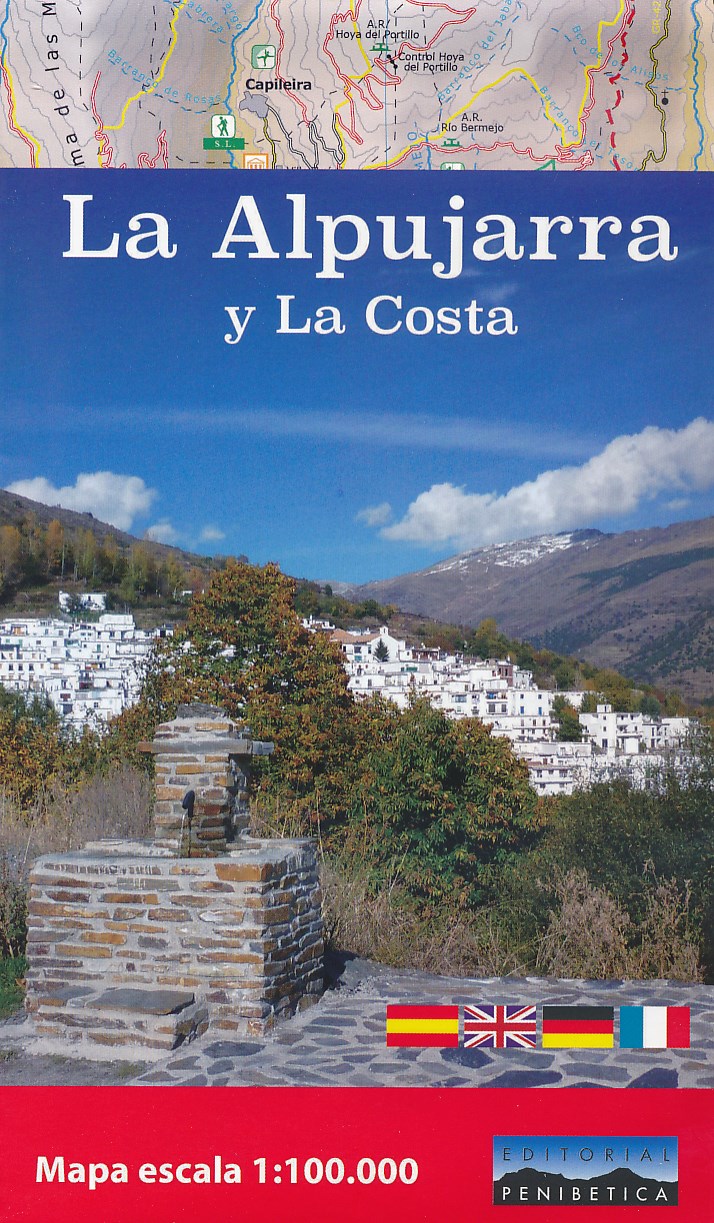
- Wegenkaart - landkaart - Wandelkaart La Alpujarra y la Costa - Alpujarras | Editorial Penibetica
- The Alpujarra region of Andalucía on an indexed, contoured map at 1:100,000 from Editorial Penibetica, extending from the coast between Motril and Roquetas de Mar across southern slopes of the Sierra Nevada to its peaks including Mulhacén. On the reverse are multilingual descriptions and photos of various places of interest.Coverage extends... Read more
- Also available from:
- Stanfords, United Kingdom

Stanfords
United Kingdom
United Kingdom
- La Alpujarra and La Costa Editorial Penibetica
- The Alpujarra region of Andalucía on an indexed, contoured map at 1:100,000 from Editorial Penibetica, extending from the coast between Motril and Roquetas de Mar across southern slopes of the Sierra Nevada to its peaks including Mulhacén. On the reverse are multilingual descriptions and photos of various places of interest.Coverage extends... Read more

De Zwerver
Netherlands
Netherlands
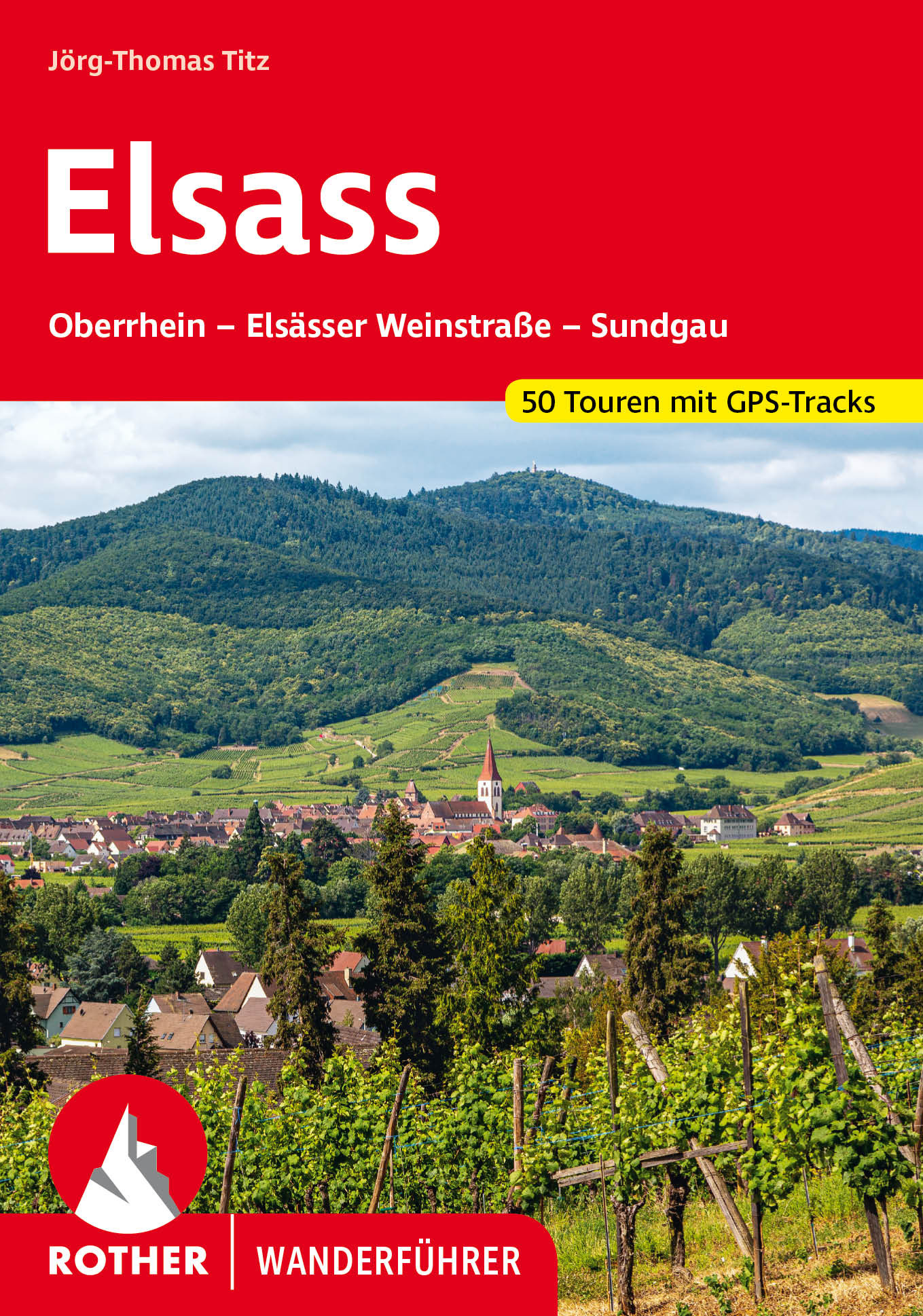
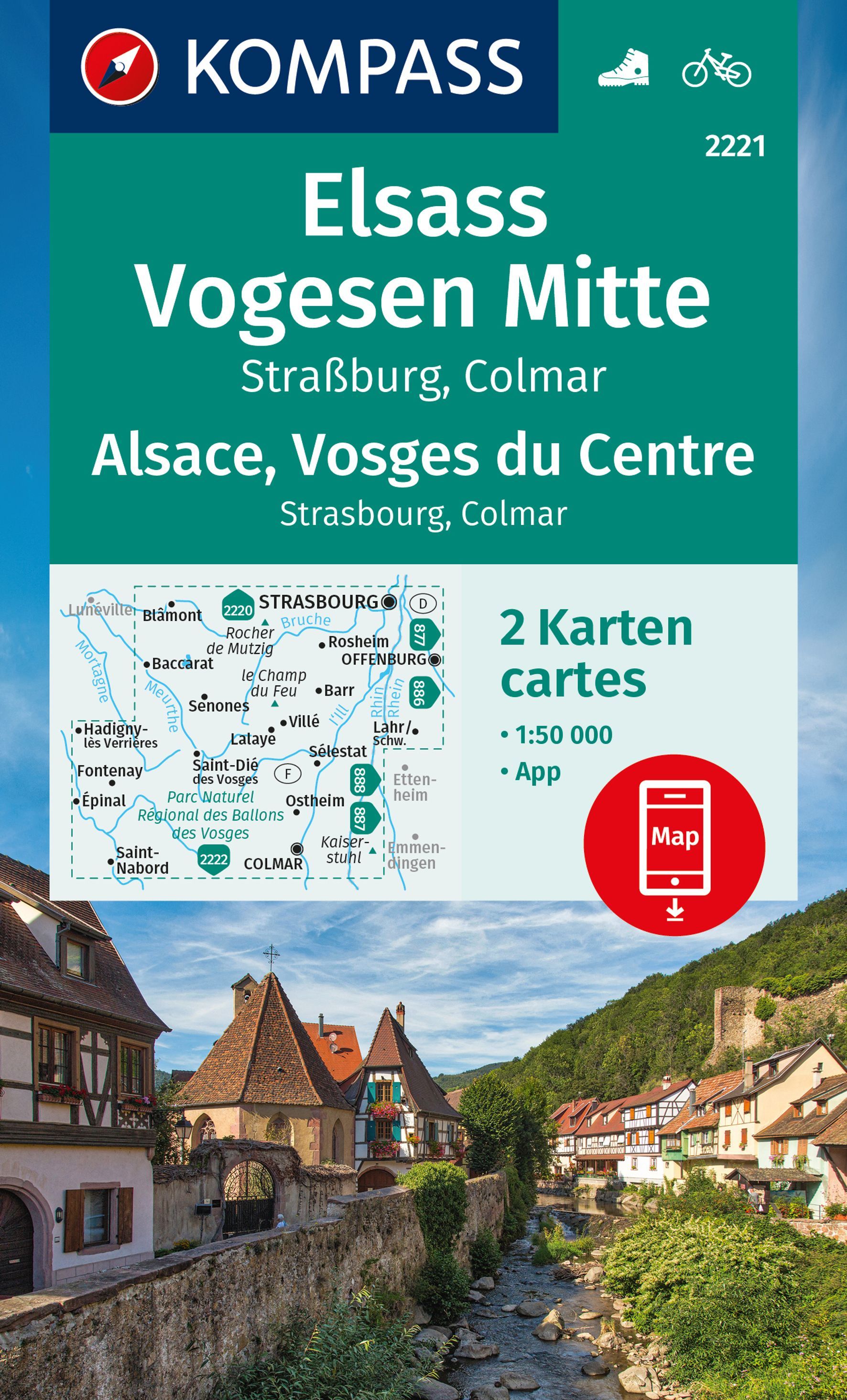
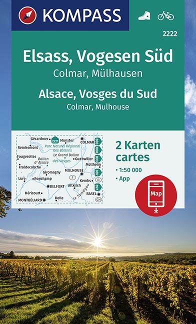
- Wandelkaart 07 Outdoorkarte FR Elsass, Vogesen - Alsace, Strasbourg Elzas - Vogezen | Kümmerly & Frey
- The central part of Alsace around Strasbourg and Saverne on a GPS compatible, double-sided map at 1:50,000 from K Read more
- Also available from:
- Stanfords, United Kingdom

Stanfords
United Kingdom
United Kingdom
- Alsace - Strasbourg - Saverne - Barr - Offenburg K+F Outdoor Map 7
- The central part of Alsace around Strasbourg and Saverne on a GPS compatible, double-sided map at 1:50,000 from Kümmerly+Frey printed on sturdy, waterproof and tear-resistant synthetic paper; contoured, with hiking and cycling routes, sites for other recreational activities, various accommodation options, restaurants and ferme-auberge... Read more
De Zwerver
Netherlands
Netherlands
- Also available from:
- Stanfords, United Kingdom

Stanfords
United Kingdom
United Kingdom
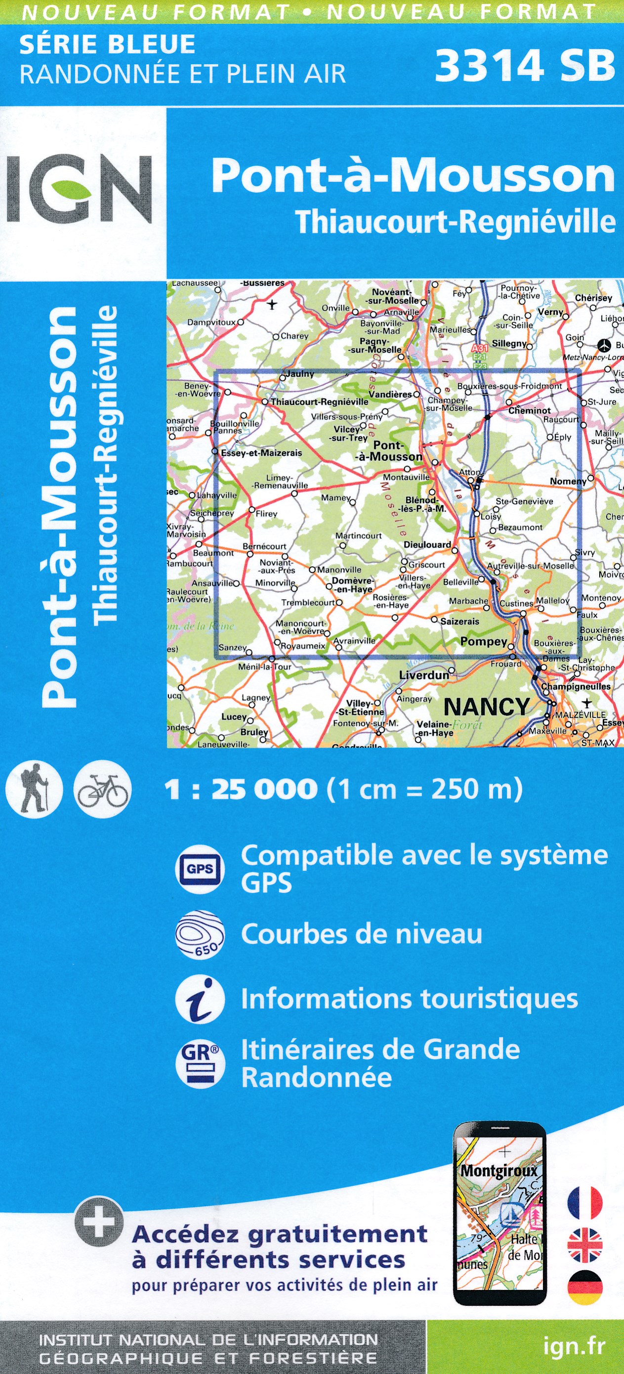
- Pont-a-Mousson - Thiaucourt-Regnieville IGN 3314SB
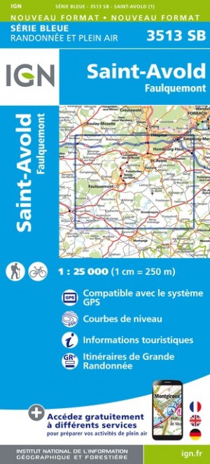
- Topographic survey of France at 1:25,000 in IGN`s excellent TOP25 / Série Bleue series. All the maps are GPS compatible, with a 1km UTM grid plus latitude and longitude lines at 5’ intervals. Contours are at 5m intervals except for mountainous areas where the maps have contours at 10m intervals, vividly enhanced by hill shading and graphics for... Read more
De Zwerver
Netherlands
Netherlands
- Also available from:
- Stanfords, United Kingdom

Stanfords
United Kingdom
United Kingdom
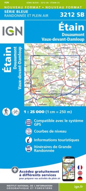
- Etain - Douaumont - Vaux-devant-Damloup IGN 3212SB
- Topographic survey of France at 1:25,000 in IGN`s excellent TOP25 / Série Bleue series. All the maps are GPS compatible, with a 1km UTM grid plus latitude and longitude lines at 5’ intervals. Contours are at 5m intervals except for mountainous areas where the maps have contours at 10m intervals, vividly enhanced by hill shading and graphics for... Read more
De Zwerver
Netherlands
Netherlands
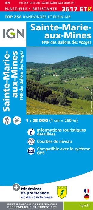
- Wandelkaart - Topografische kaart 3617ETR Sainte-Marie-Aux-Mines | IGN - Institut Géographique National
- Topographic survey of France at 1:25,000 in IGN's excellent TOP25 / S Read more
- Also available from:
- Stanfords, United Kingdom

Stanfords
United Kingdom
United Kingdom
- Ste-Marie-aux-Mines - PNR des Ballons des Vosges IGN WATERPROOF 3617ETR
- Topographic survey of France at 1:25,000 in IGN`s excellent TOP25 / Série Bleue series. All the maps are GPS compatible, with a 1km UTM grid plus latitude and longitude lines at 5’ intervals. Contours are at 5m intervals except for mountainous areas where the maps have contours at 10m intervals, vividly enhanced by hill shading and graphics for... Read more
De Zwerver
Netherlands
Netherlands
- Also available from:
- Stanfords, United Kingdom

Stanfords
United Kingdom
United Kingdom
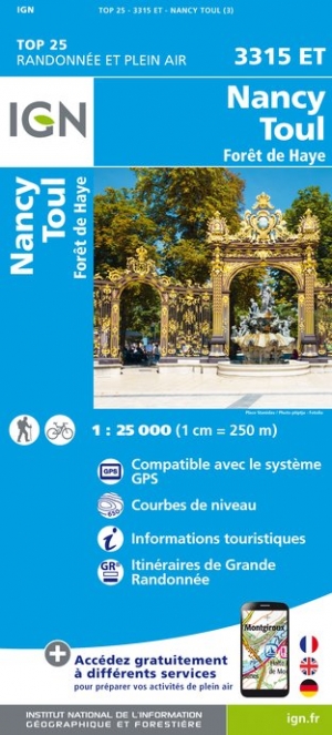
- Nancy - Toul - Foret de Haye IGN 3315ET
- Topographic survey of France at 1:25,000 in IGN`s excellent TOP25 / Série Bleue series. All the maps are GPS compatible, with a 1km UTM grid plus latitude and longitude lines at 5’ intervals. Contours are at 5m intervals except for mountainous areas where the maps have contours at 10m intervals, vividly enhanced by hill shading and graphics for... Read more
De Zwerver
Netherlands
Netherlands
- Also available from:
- Stanfords, United Kingdom

Stanfords
United Kingdom
United Kingdom
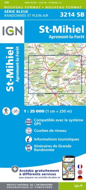
- St-Mihiel - Apremont-la-Foret IGN 3214SB
- Topographic survey of France at 1:25,000 in IGN`s excellent TOP25 / Série Bleue series. All the maps are GPS compatible, with a 1km UTM grid plus latitude and longitude lines at 5’ intervals. Contours are at 5m intervals except for mountainous areas where the maps have contours at 10m intervals, vividly enhanced by hill shading and graphics for... Read more
De Zwerver
Netherlands
Netherlands
- Also available from:
- Stanfords, United Kingdom

Stanfords
United Kingdom
United Kingdom
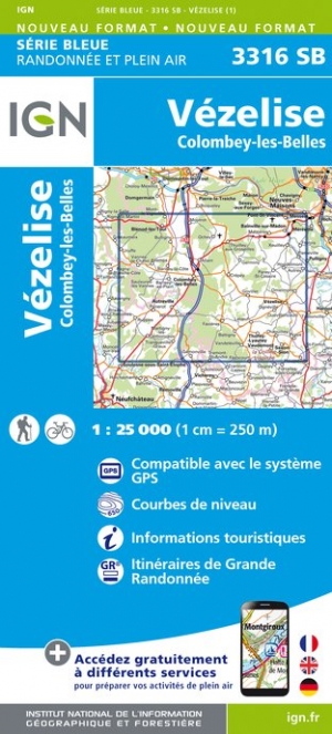
- Vezelise - Colombey-les-Belles IGN 3316SB
- Topographic survey of France at 1:25,000 in IGN`s excellent TOP25 / Série Bleue series. All the maps are GPS compatible, with a 1km UTM grid plus latitude and longitude lines at 5’ intervals. Contours are at 5m intervals except for mountainous areas where the maps have contours at 10m intervals, vividly enhanced by hill shading and graphics for... Read more
Meer kaarten…