
GR52 - Vallée des Merveilles
Beschrijving
- Name GR52 - Vallée des Merveilles (GR52)
- Start van pad St Dalmas-Valdeblore
- Einde van pad Menton
- Traildino graad SW, Inspannende wandeling, bergpad
- Huttentrektocht graad T2, Bergtocht


52
 St Dalmas de Valdeblore - Menton (Mediterranean)
The southeast corner of France, bordering on Italy, is called the Mercantour. Apart from a beautiful name it is also a beloved Alpine region. The GR52 goes right through it. Therefore, GR5-hikers sometimes take this diversion to finish their trek to the Mediterranean. Another fine option is to combine GR52 and GR52A to make a round walk, enjoying even more of the Mercantour nature. The trail is a mountain hike, not difficult, but a bit strenuous. At the end are the blue waters of the Mediterranean Sea and if any money is left, Monte-Carlo is nearby.
Kaart

Links
Feiten
Verslagen
Gidsen en kaarten
Overnachting
Organisaties
Reisorganisaties
GPS
Anders
Boeken
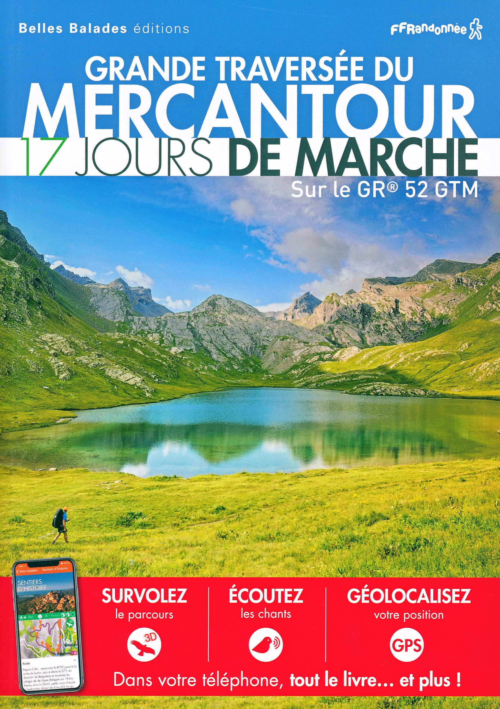

De Zwerver
Netherlands
2016
Netherlands
2016
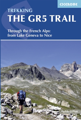
- Wandelgids The GR5 Trail - The Alps | Cicerone
- An essential guidebook for walking the GR5 trail, 660km from Lac Leman (Lake Geneva) to Nice or Menton, through the French Alps. Includes all the main variant routes as it passes Mont Blanc, then through the Vanoise, the Queyras and the Mercantour National Parks. Includes accommodation, profiles and maps. Suitable for fairly experienced hikers. Read more
- Also available from:
- Bol.com, Netherlands
- Bol.com, Belgium
- The Book Depository, United Kingdom
Bol.com
Netherlands
2016
Netherlands
2016
- The GR5 trail
- The GR5 is one of the world's most spectacular long-distance trails. This guide describes the route from the shores of Lac L man (lake Geneva) over the Alps and down to the trail's finish at Nice. Interesting variant routes include the stunning GR55 through the Vanoise National Park and the GR52, which crosses the Mercantour National Park to... Read more
Bol.com
Belgium
2016
Belgium
2016
- The GR5 trail
- The GR5 is one of the world's most spectacular long-distance trails. This guide describes the route from the shores of Lac L man (lake Geneva) over the Alps and down to the trail's finish at Nice. Interesting variant routes include the stunning GR55 through the Vanoise National Park and the GR52, which crosses the Mercantour National Park to... Read more

The Book Depository
United Kingdom
2016
United Kingdom
2016
- The GR5 Trail
- Through the French Alps from Lake Geneva to Nice Read more
Bol.com
Netherlands
2013
Netherlands
2013
- The GR5 Trail
- The final section of the GR5, also known as the Grande Traversee des Alpes, runs from the shores of Lac Leman, over the French Alps, to reach the Mediterranean coastline at Nice. The route measures 674 kilometres (420 miles) and can be covered in a month, or split over a series of summer trips. This guidebook also includes some great variant... Read more
- Also available from:
- Bol.com, Belgium
Bol.com
Belgium
2013
Belgium
2013
- The GR5 Trail
- The final section of the GR5, also known as the Grande Traversee des Alpes, runs from the shores of Lac Leman, over the French Alps, to reach the Mediterranean coastline at Nice. The route measures 674 kilometres (420 miles) and can be covered in a month, or split over a series of summer trips. This guidebook also includes some great variant... Read more
Kaarten
De Zwerver
Netherlands
Netherlands
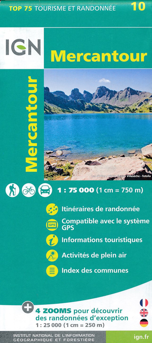
- Fietskaart - Wandelkaart 10 Mercantour | IGN - Institut Géographique National
- IGN TOP 75 Topographic map of the Mercantour at 1:75,000 scale. This detailed map covers the Mercantour National Park, from Barcelonette to Villars-sur-Var from north to south. Contour lines, detailed legend and indication of hiking trails. Index of cities. This map includes 5 zooms in scale 1:25 000 to discover exceptional excursions (Vallée... Read more
- Also available from:
- Stanfords, United Kingdom

Stanfords
United Kingdom
United Kingdom
- Mercantour IGN 75010
- IGN TOP 75 Topographic map of the Mercantour at 1:75,000 scale. This detailed map covers the Mercantour National Park, from Barcelonette to Villars-sur-Var from north to south. Contour lines, detailed legend and indication of hiking trails. Index of cities. This map includes 5 zooms in scale 1:25 000 to discover exceptional excursions (Vallée... Read more

De Zwerver
Netherlands
Netherlands
- Wandelkaart 08 Alpi marittime e Liguri | IGC - Istituto Geografico Centrale
- A cross-border area of the Maritime and Ligurian Alps at 1:50,000, with coverage on the Italian side including Limone, Alpi Maritime PN and Alta Valle Pesio e Tanaro PN, plus in France Tende, Vallée des Merveilles and Saorge, in a series contoured hiking maps with local trails, long-distance footpaths, mountain accommodation, etc. from the... Read more
De Zwerver
Netherlands
Netherlands
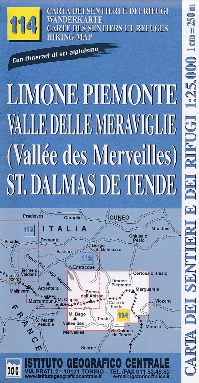
- Wandelkaart 114 Limone Piemonte, Valle Delle Meraviglie, St. Dalmas De Tende | IGC - Istituto Geografico Centrale
- IGC Italien Wanderkarten 1 : 25 000. Neuauflage. Read more