
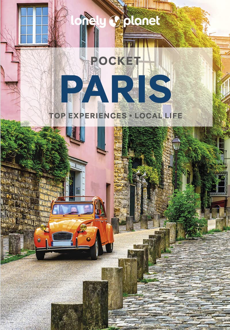
Paris
Beschrijving
Capital of France.
Links
Feiten
Verslagen
Gidsen en kaarten
Overnachting
Organisaties
Reisorganisaties
GPS
Anders
Boeken
De Zwerver
Netherlands
2012
Netherlands
2012
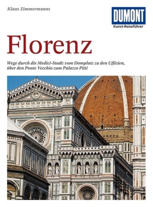
- Reisgids Kunstreiseführer Florence | Dumont
- Von woher man sich auch Florenz nähert, das erste, was man von der Toskana-Metropole wahrnimmt, ist die aus dem Dunstschleier emportauchende Domkuppel. Und mit dem weiten Blick von dort oben beginnt Klaus Zimmermanns seine umfassende Kulturgeschichte der Stadt am Arno. Dabei bürgen Namen wie Giotto, Fra Angelico, Botticelli, Brunelleschi,... Read more


De Zwerver
Netherlands
Netherlands
De Zwerver
Netherlands
2023
Netherlands
2023
De Zwerver
Netherlands
2014
Netherlands
2014
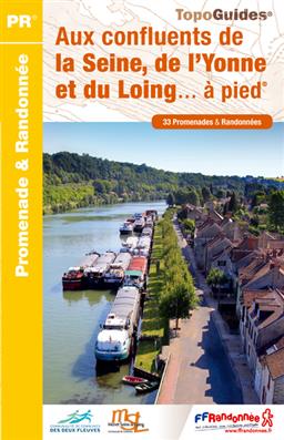
- Wandelgids P774 Aux confluents de la Seine, de l'Yonne et du Loing... à pied | FFRP
- Uitstekende routegids met gedetailleerde kaarten en een routebeschrijving. Fout lopen wordt op deze manier wel erg moeilijk. Met symbolen is weergegeven welke voorzieningen (openbaar vervoer / winkels / overnachtingen) er zijn langs of bij de route. Een nadeel is dat de daadwerkelijke adressen dan weer niet altijd genoemd worden. Alle gidsen... Read more
- Also available from:
- Stanfords, United Kingdom

Stanfords
United Kingdom
2014
United Kingdom
2014
- Aux confluents de la Seine, de l`Yonne et du Loing à pied FFRP Topo-guide No. P774
- Aux confluents de la Seine, de l`Yonne et du Loing à pied, FFRP topo-guide Ref. No. P774, with 33 day walks of varying length and difficulty around the confluence of these three rivers, just east of the Fontainebleau Forest. Each walk is presented on a separate colour extract from IGN’s topographic survey of France at 1:25,000, with its... Read more
- Also available from:
- Stanfords, United Kingdom

Stanfords
United Kingdom
2020
United Kingdom
2020
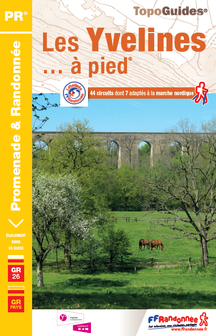
- Les Yvelines à pied D078
- Les Yvelines à pied, FFRP topo-guide Ref. No. D078, with 43 day walks of varying length and difficulty in the department of Les Yvelines. The guide, which also includes two GR de Pays routes totaling 150 kms, covers an area west and south-west of Paris with Versailles, Saint-Germain-en-Laye and the forest of Rambouillet. Each walk is presented... Read more

Meer boeken…
Kaarten
De Zwerver
Netherlands
Netherlands
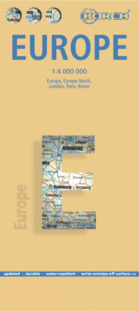
- Wegenkaart - landkaart Europa - Europe | Borch
- Europa / Europe 1 : 4 000 000 ab 9.9 EURO Europe 1 : 4 000 000, Europe North, London, Paris, Rome/Roma / updated / durable / water-repellent / write-on/wipe-off surface Borch Maps. 15. Auflage Read more
De Zwerver
Netherlands
Netherlands
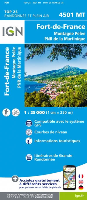
- Wandelkaart - Topografische kaart 4501MT Fort-de-France - Montagne Pelée - PNR Martinique | IGN - Institut Géographique National
- One of the three topographic maps from the Institut Géographique National in Paris covering Martinique. Cartography is similar to that used for IGN’s coverage of France at this scale, with contours at 10m intervals, relief shading, and plenty of information on the type of vegetation: woods and forests, brushwood, plantations and orchards,... Read more
- Also available from:
- Stanfords, United Kingdom

Stanfords
United Kingdom
United Kingdom
- Martinique - Fort-de-France - Montagne Pelee - PNR de la Martinique IGN 4501MT
- One of the three topographic maps from the Institut Géographique National in Paris covering Martinique. Cartography is similar to that used for IGN’s coverage of France at this scale, with contours at 10m intervals, relief shading, and plenty of information on the type of vegetation: woods and forests, brushwood, plantations and orchards,... Read more
De Zwerver
Netherlands
Netherlands
- Also available from:
- Stanfords, United Kingdom

Stanfords
United Kingdom
United Kingdom
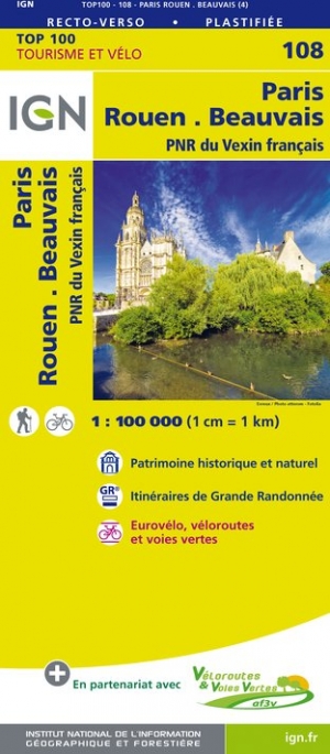
- Paris - Rouen - Beauvais - PNR du Vexin français IGN TOP100 108
- Discover the new double-sided laminated edition of TOP100 road maps of France from the Institut Géographique National (IGN); exceptionally detailed, contoured road maps which include the cycle paths and greenways of the AF3V (French Association for the Development of Cycle Paths and Greenways), ideal for exploring the French countryside by car,... Read more
De Zwerver
Netherlands
Netherlands
De Zwerver
Netherlands
Netherlands
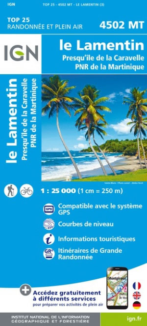
- Wandelkaart - Topografische kaart 4502MT Le Lamentin - Presqu''île Caravelle - PNR Martinique | IGN - Institut Géographique National
- One of the three topographic maps from the Institut Géographique National in Paris covering Martinique. Cartography is similar to that used for IGN’s coverage of France at this scale, with contours at 10m intervals, relief shading, and plenty of information on the type of vegetation: woods and forests, brushwood, plantations and orchards,... Read more
- Also available from:
- Stanfords, United Kingdom

Stanfords
United Kingdom
United Kingdom
- Martinique - Le Lamentin - Presqu`ile de la Caravalle IGN 4502MT
- One of the three topographic maps from the Institut Géographique National in Paris covering Martinique. Cartography is similar to that used for IGN’s coverage of France at this scale, with contours at 10m intervals, relief shading, and plenty of information on the type of vegetation: woods and forests, brushwood, plantations and orchards,... Read more
De Zwerver
Netherlands
Netherlands
De Zwerver
Netherlands
Netherlands
- Also available from:
- Stanfords, United Kingdom

Stanfords
United Kingdom
United Kingdom
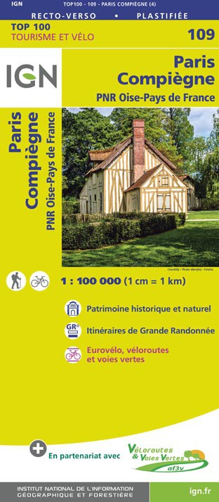
- Paris - Compiegne - PNR Oise-Pays de France IGN TOP100 109
- Discover the new double-sided laminated edition of TOP100 road maps of France from the Institut Géographique National (IGN); exceptionally detailed, contoured road maps which include the cycle paths and greenways of the AF3V (French Association for the Development of Cycle Paths and Greenways), ideal for exploring the French countryside by car,... Read more
De Zwerver
Netherlands
2020
Netherlands
2020
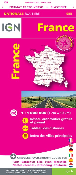
- Wegenkaart - landkaart 955 Frankrijk maxi Recto Verso (geplastificeerd) | IGN - Institut Géographique National
- An laminated IGN route map of France enables you to plan your journeys across France. Includes table of distances and index of principal towns as well as map enlargements for Paris, Bordeaux, Lille, Lyon, Marseille, Nantes, Rennes, Strasbourg and Toulouse. Read more
- Also available from:
- Stanfords, United Kingdom

Stanfords
United Kingdom
2020
United Kingdom
2020
- France IGN Road Map WATERPROOF
- An laminated IGN route map of France enables you to plan your journeys across France. Includes table of distances and index of principal towns as well as map enlargements for Paris, Bordeaux, Lille, Lyon, Marseille, Nantes, Rennes, Strasbourg and Toulouse. Read more

Stanfords
United Kingdom
United Kingdom
- Parcs et jardins de Paris à pied FFRP Topo-guide No. VI12
- Parcs et jardins de Paris à pied, FFRP topo-guide Ref. No.VI12, with 27 routes to enjoy the green areas of the capital: in the city’s famous parks including the Parc Montsouris, Parc Monceau, Buttes-Chaumont or the Luxembourg Gardens, in the smaller green spaces such as Jardins-Martin-Lutter-King, in the Père Lachaise Cemetery, in the Bois de... Read more

Stanfords
United Kingdom
United Kingdom
- Kitchener - Waterloo Street Atlas
- Street atlas of Kitchener and the surrounding area, including Ayr, Baden, Blair, Bloomingdale, Brant, Brantford, Breslau, Bridgeport, Cambridge, Conestogo, Doon, Elmira, Elora, Erin, Fergus, Galt, Guelph, Hespeler, Kitchener, Mannheim, New Hamburg, Paris, Preston, Rockwood, St. Jacobs, Salem and Waterloo. The atlas, which includes a listing for... Read more