
Porto Santo, Madeira
Beschrijving

Porto Santo is a small island north of Madeira. It’s only 14 km long and 8 km wide. Main attraction is its 9km long beach on the south shore. Apart from the north, the island is rather flat. If you’re there anyway, you may climb some of its hills to enjoy the views.
Links
Feiten
Verslagen
Gidsen en kaarten
Overnachting
Organisaties
Reisorganisaties
GPS
Anders
Boeken
De Zwerver
Netherlands
2018
Netherlands
2018
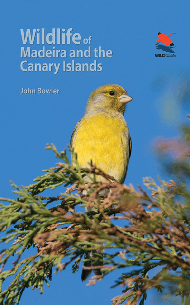
- Natuurgids - Reisgids Wildlife of Madeira and the Canary Islands | Princeton University
- This beautifully illustrated photographic field guide is the first to focus on the identification of the fascinating, diverse and unique wildlife of Madeira and the Canary Islands--featuring the birds, mammals, reptiles, amphibians, butterflies and dragonflies that are most likely to be seen. Richly illustrated introductory sections cover the... Read more
De Zwerver
Netherlands
2022
Netherlands
2022
De Zwerver
Netherlands
2024
Netherlands
2024
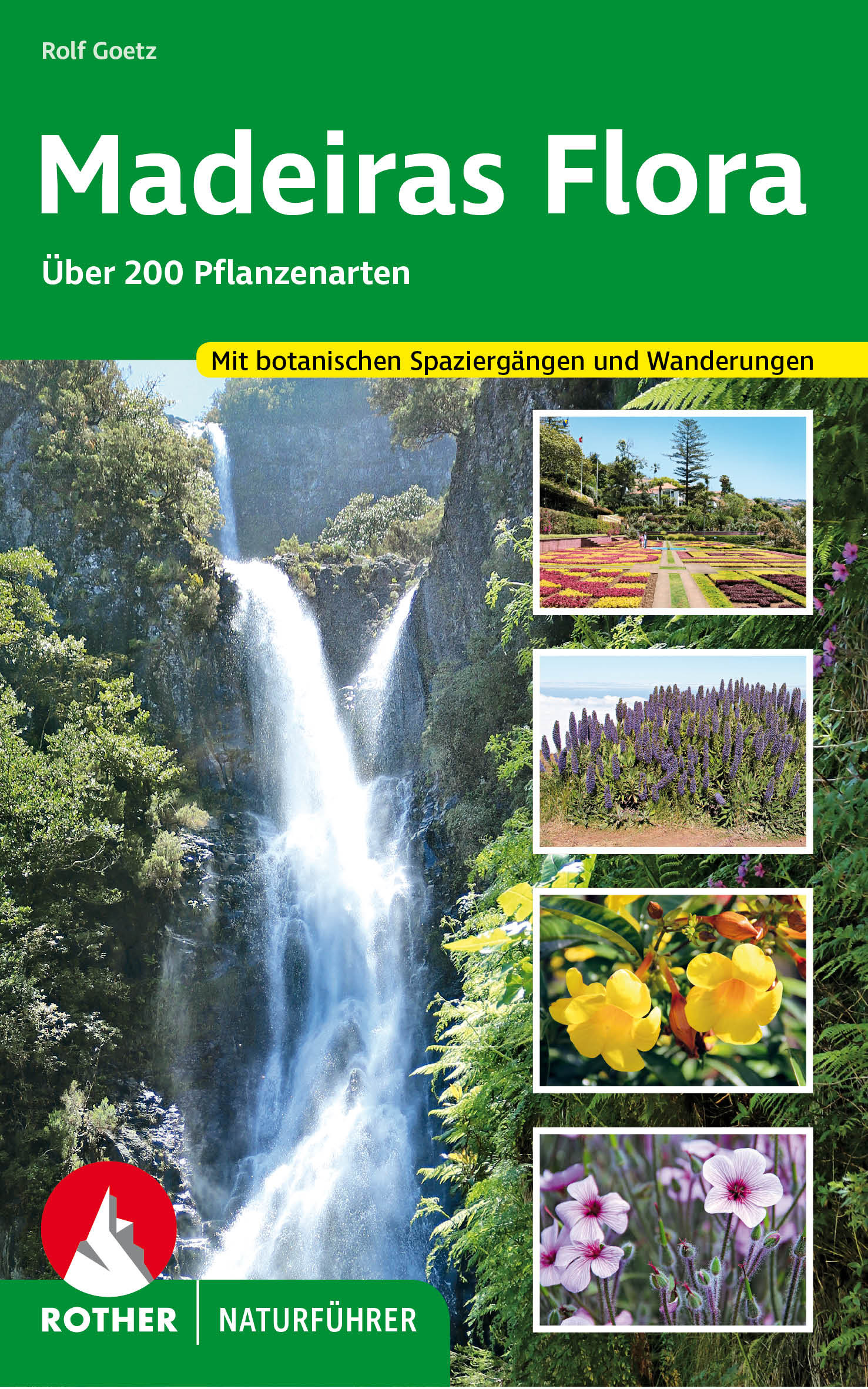
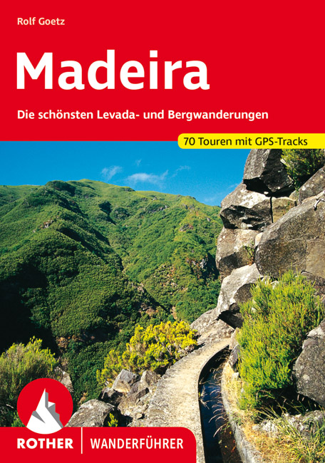
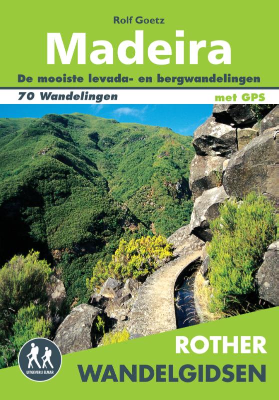
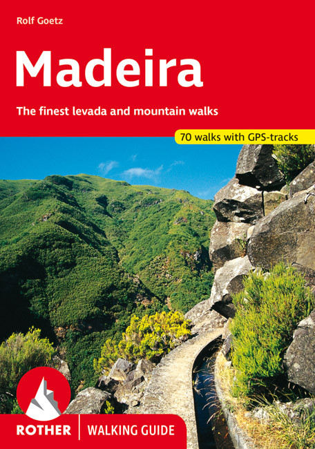
- Wandelgids Madeira | Rother Bergverlag
- Uitstekende wandelgids met een groot aantal dagtochten in dal en hooggebergte. Met praktische informatie en beperkt kaartmateriaal! Wandelingen in verschillende zwaarte weergegeven in rood/blauw/zwart. Madeira zeichnet sich durch ein ganzjährig mildes Klima und eine verschwenderische Blütenpracht aus: Strelitzien und Fackellilien, Liebesblumen... Read more
De Zwerver
Netherlands
2014
Netherlands
2014
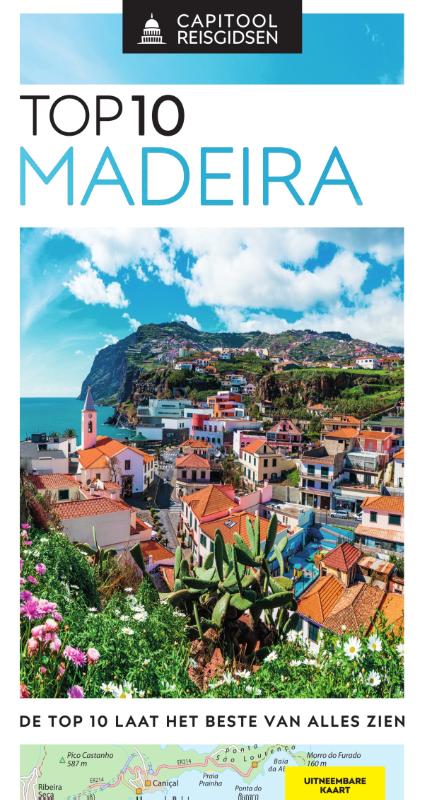
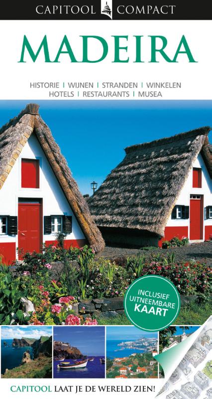
- Reisgids Capitool compact Madeira | Unieboek
- Of u nu eersteklas reist of met een beperkt budget, Capitool Compact biedt u het beste van alles. Tientallen lijsten met hoogtepunten - de mooiste musea, de beste winkels en de gezelligste restaurants - verschaffen u alle kennis die u nodig hebt. De praktische informatie en bijzondere tips besparen u tijd en geld. Met behulp van de... Read more
Kaarten

- Also available from:
- Stanfords, United Kingdom

Stanfords
United Kingdom
United Kingdom
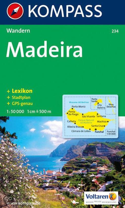
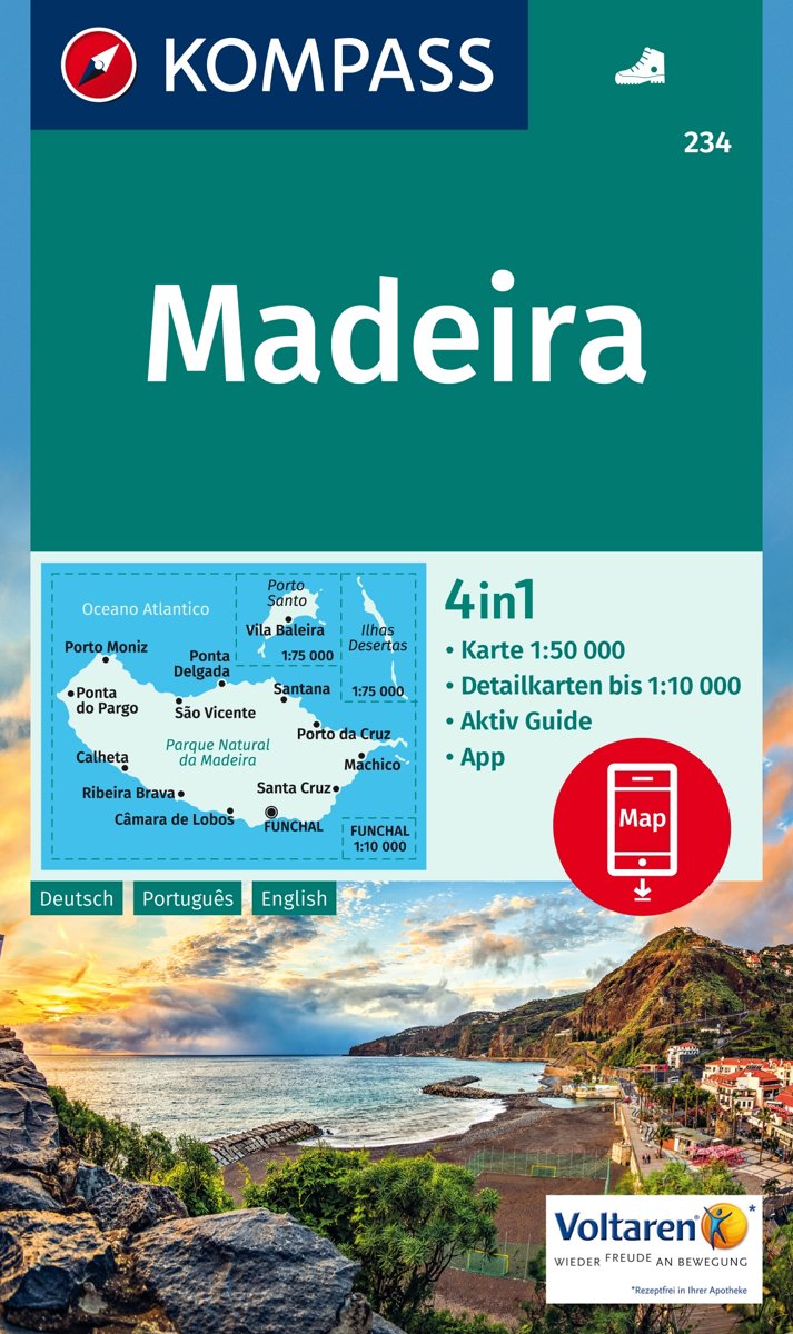
- Madeira Kompass 234
- Madeira on a detailed, contoured, GPS compatible map at 1;50,000 from Kompass highlighting hiking routes, graded according to the degree of difficulty, and other places of interest, with a street plan of central Funchal.The map has contours at 50m intervals, enhanced by shading and graphic relief, with colouring for woodlands and vineyards,... Read more

De Zwerver
Netherlands
Netherlands
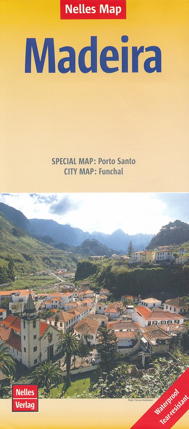
- Wegenkaart - landkaart Madeira | Nelles Verlag
- Nelles Map Madeira 1 : 60 000 ab 9.9 EURO Special Map: Porto Santo. City Map: Funchal. Physical Relief Mapping Nelles Map. new edition Read more
De Zwerver
Netherlands
2024
Netherlands
2024
Bol.com
Netherlands
Netherlands
- FB WKP1 Madeira
- Dubbelzijdige wandel- en vrijetijdskaart • toeristische tips • stadsplattegronden • fietspaden en mountainbikeroutes • GPS-punten Read more
- Also available from:
- Bol.com, Belgium
- Stanfords, United Kingdom
Bol.com
Belgium
Belgium
- FB WKP1 Madeira
- Dubbelzijdige wandel- en vrijetijdskaart • toeristische tips • stadsplattegronden • fietspaden en mountainbikeroutes • GPS-punten Read more

Stanfords
United Kingdom
United Kingdom
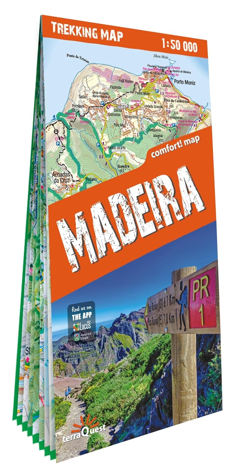
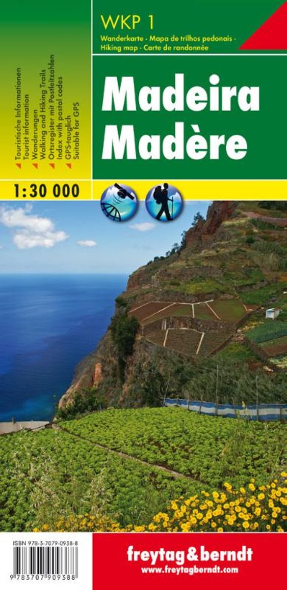
- Madeira F&B WKP1
- Madeira on a double-sided, indexed, hiking map from Freytag & Berndt at 1:30,000 with prominent highlighting for walking routes, scenic roads, picturesque locations and places of interest, plus a street plan of central Funchal and a booklet with general notes about the island and brief descriptions of seven recommended hiking routes. Place... Read more
Bol.com
Netherlands
Netherlands
- Kompass WK234 Madeira
- Toeristische kaart voor wandelen, fietsen en vrije tijd met activiteitengids en stadsplattegronden goed leesbare schaal van 1:50 000 te gebruiken met GPS met praktische informatie over de regio wandel- en fietspaden aanbevolen routes kastelen uitzichtpunten stranden en baaien toeristische informatie veel topografische... Read more
- Also available from:
- Bol.com, Belgium
Bol.com
Belgium
Belgium
- Kompass WK234 Madeira
- Toeristische kaart voor wandelen, fietsen en vrije tijd met activiteitengids en stadsplattegronden goed leesbare schaal van 1:50 000 te gebruiken met GPS met praktische informatie over de regio wandel- en fietspaden aanbevolen routes kastelen uitzichtpunten stranden en baaien toeristische informatie veel topografische... Read more
Bol.com
Netherlands
Netherlands
- Madeira 1:50 000
- Toeristische kaart voor wandelen, fietsen en vrije tijd met activiteitengids en stadsplattegronden; goed leesbare schaal van 1:50 000; te gebruiken met GPS; met praktische informatie over de regio; wandel- en fietspaden; aanbevolen routes; kastelen; uitzichtpunten; stranden en baaien; toeristische informatie; veel topografische details; Duitstalig Read more
- Also available from:
- Bol.com, Belgium
Bol.com
Belgium
Belgium
- Madeira 1:50 000
- Toeristische kaart voor wandelen, fietsen en vrije tijd met activiteitengids en stadsplattegronden; goed leesbare schaal van 1:50 000; te gebruiken met GPS; met praktische informatie over de regio; wandel- en fietspaden; aanbevolen routes; kastelen; uitzichtpunten; stranden en baaien; toeristische informatie; veel topografische details; Duitstalig Read more

Stanfords
United Kingdom
United Kingdom
- Santana - Madeira 3
- Topographic survey of Portugal at 1:25,000 from the Instituto Geográfico do Exército, the country’s military survey organisation.Map legend and a glossary of terms used on the maps include English.To see all the titles in this series please click on the series link. Read more
Stanfords
United Kingdom
United Kingdom
- Ilhas Desertas Central - Madeira -11
- Topographic survey of Portugal at 1:25,000 from the Instituto Geográfico do Exército, the country’s military survey organisation.Map legend and a glossary of terms used on the maps include English.To see all the titles in this series please click on the series link. Read more

Stanfords
United Kingdom
United Kingdom
- IT2 Elba to Naples
- Passage ChartsC 1 Mallorca to Sicily 1:1,750,000C 2 Corsica Channel to Mt. Argentario 1:350,000C 3 Mt. Argentario to Capo Circeo 1:350,000C 4 Capo Circeo to Capri 1:350,000Coastal ChartsC 5 Tuscan Islands South 1:150,000C 6 Pta. Ala to Mt. Argentario 1:150,000C 7 Mt. Argentario to Capo Linaro 1:150,000C 8 Capo Linaro to Rome 1:150,000C 9 Rome... Read more

Stanfords
United Kingdom
United Kingdom
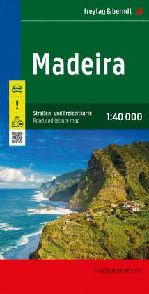
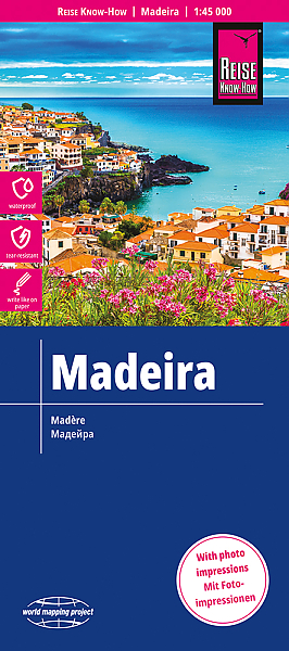
- Madeira F&B
- Madeira on a large, indexed, touring and sightseeing map from Freytag & Berndt at 1:40,000 with prominent highlighting for scenic roads, hiking routes, picturesque locations and places of interest, plus a street plan of central Funchal and a booklet with descriptions of best sights, etc. Place names and road numbers are in larger size font than... Read more