
Pyrenees
Beschrijving

The Pyrenees form the natural border between Spain and france. The mountain range extends from one sea to the other, from the Atlantic to the Mediterranean, always a good excuse for hikers to symbolically cross over and stay away from home two months.
Of course there is a fan group of the Pyrenees versus one of the Alps. The Pyrenees are very different from the Alps alltogether. There are no large lakes, but many high situated small ones. There are almost no passings over the Pyrenees from France into Spain. The famous exceptions - St Jean-Pied-de-Port and Col de Somport - are used by the Way of St. James, Camino de Santiago.
There are plenty of good hikes, among them the GR10, the Haute Randonnée Pyrénéenne, and - on the Spanish side, the GR11.
Kaart

Paden in deze regio
- Camino AragonésGPX
- Camino de BaztanGPX
- Camino de GironaGPX
- Camino FrancésGPX
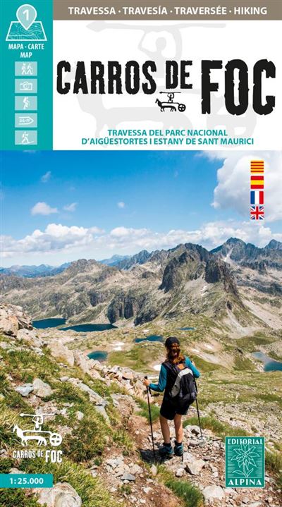
- Carros de FocGPX
- E3GPX
- E4GPX
- E7GPX
- GR10 - Traversée des PyrénéesGPX
- GR101GPX
- GR107 - El Camí dels Bons HomesGPX
- GR11 Sendero PirenaicoGPX
- GR36 - Traversée du PérigordGPX
- GR65 - Via PodiensisGPX
- GR7GPX
- GR78 - Sentier de PiémontGPX
- GR8GPX
- GR83 - Camí del Nord o del CanigóGPX
- GR86GPX
- HRP - Haute Randonnée PyrénéenneGPX
- Sentier CathareGPX
- Tour du LarzacGPX
- Voie de Lourdes
- Voie du PiémontGPX
Links
Feiten
Verslagen
Gidsen en kaarten
Overnachting
Organisaties
Reisorganisaties
GPS
Anders
Boeken

Netherlands
2014
- Wandelgids 901 Tours et traversées dans l'Ain GR9, GR9A, GR59 | FFRP
- Guide FFRandonnée Tours et Traversée dans l'ain. GR 59, 9, 9A. Etangs de la Dombes, monts et cluses du Revermont ou bocages de la Bresse. Plus de 50 jours de randonnée.Depuis les Monts du Jura, du Revermont ou du Bugey, ces itinéraires en boucle ou en ligne offrent aux randonneurs des vues imprenables. voici à l'est le Mont Blanc et les... Read more
- Also available from:
- Stanfords, United Kingdom

United Kingdom
2014
- GR59/GR9/GRP: Tours et Traversées de l`Ain FFRP Topo-guide No. 901
- Tours et Traversées de l`Ain, FFRP topoguide, Ref. No. 901, covering in all 949km of hiking trails in the French Jura between Lons-le-Saunier and the confluence of the Ain and the Rhône, including sections of GR 5, 9 and 9A. Current edition of this title was published in June 2014.ABOUT THE FFRP (Fédération française de la randonnée pédestre)... Read more
Netherlands
2020
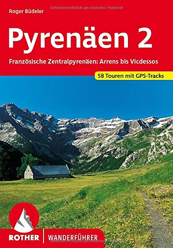
- Wandelgids 262 Pyrenäen 2 | Rother Bergverlag
- Uitstekende wandelgids met een groot aantal dagtochten in dal en hooggebergte. Met praktische informatie en beperkt kaartmateriaal! Wandelingen in verschillende zwaarte weergegeven in rood/blauw/zwart. Weithin bekannte und berühmte Täler, Bergmassive und Gipfel prägen die französischen Zentralpyrenäen zwischen dem Val d'Azun im Westen und... Read more
- Also available from:
- Stanfords, United Kingdom

United Kingdom
2021
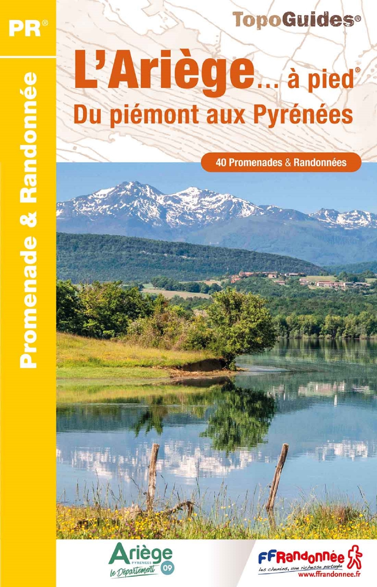
- L`Ariège à pied - du Piémont aux Pyrénées
- L`Ariège à pied, FFRP topo-guide Ref. No.D009, with 40 day walks of varying length and difficulty in the department of Ariège in the French Pyrenees. Each walk is presented on a separate colour extract from IGN’s topographic survey of France at 1:25,000, with its description cross-referenced to the map. Current edition of this title was... Read more
Netherlands
2019
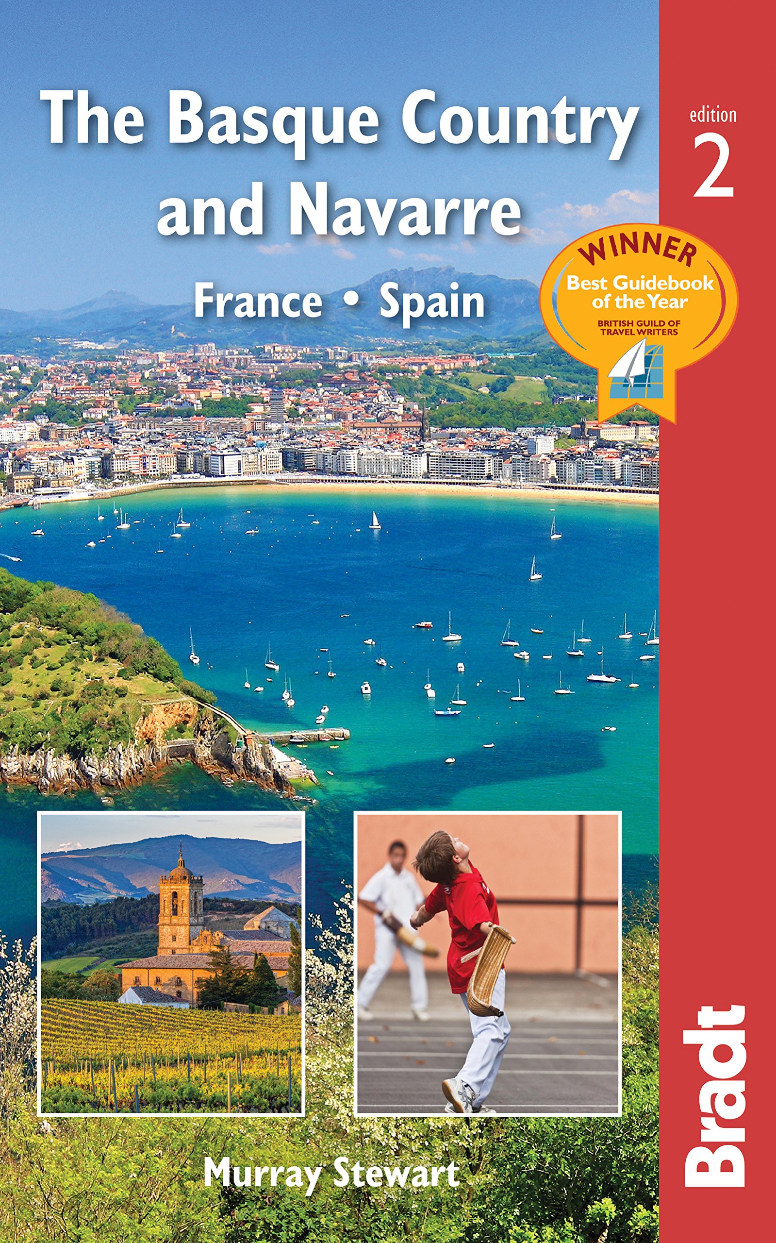
- Reisgids The Basque Country and Navarre - Baskenland | Bradt Travel Guides
- This new, thoroughly updated edition of Bradt`s award-winning guide to the Basque Country and Navarre remains the most comprehensive and in-depth guide available to this multi-lingual, multi-cultural borderland encompassing parts of southern France and northern Spain. This fully revised second edition includes all the elements required for an... Read more
- Also available from:
- Stanfords, United Kingdom

United Kingdom
2019
- Basque Country and Navarre: France and Spain Bradt Guide
- This new, thoroughly updated edition of Bradt`s award-winning guide to the Basque Country and Navarre remains the most comprehensive and in-depth guide available to this multi-lingual, multi-cultural borderland encompassing parts of southern France and northern Spain. This fully revised second edition includes all the elements required for an... Read more

Netherlands
2019
Netherlands
2018
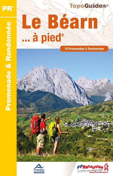
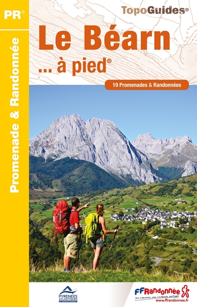
- Wandelgids P641 Le Béarn... à pied | FFRP
- Franstalige wandelgids met een beschrijving van een aantal dagtochten. Uitstekende beschrijvingen met duidelijk kaartmateriaal. Mislopen is nauwelijks mogelijk, maar ja .. de franse taal! Ook praktische informatie staat in deze gids. Alle gidsen bevatten een door ons toegevoegde uitgebreide frans - nederlandse wandelwoordenlijst. Entre Pau et... Read more
- Also available from:
- Stanfords, United Kingdom
United Kingdom
2018
- Le Béarn à pied P641
- Le Béarn à pied, FFRP topo-guide Ref. No. P641, with 20 day walks of varying length and difficulty in the Pyrenees and their foothills between Pau, Pic du Midi d`Ossau and Col du Somport. Each walk is presented on a separate colour extract from IGN’s topographic survey of France at 1:25,000, with its description cross-referenced to the map.... Read more
Netherlands
2022

Netherlands
2023

Netherlands
2023
Netherlands
2024
Netherlands
2012
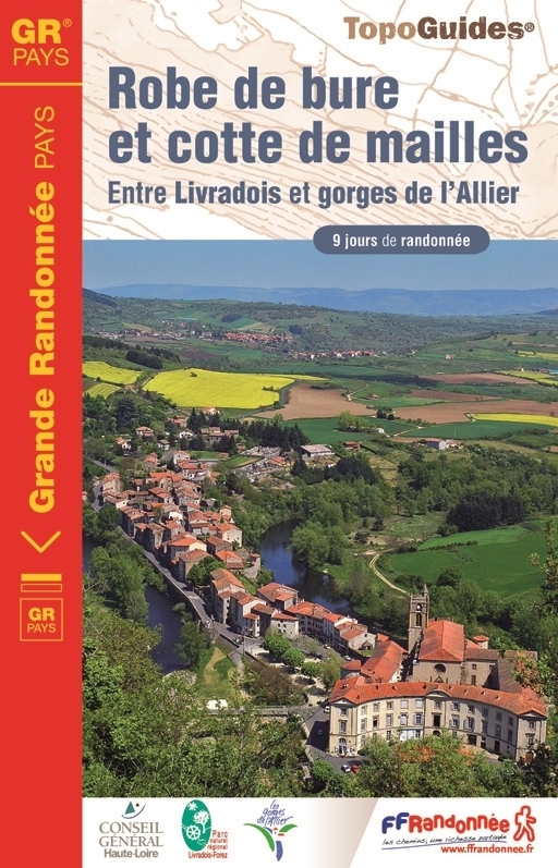
- Wandelgids 4303 Robe de bure et cotte de mailles | FFRP
- Guide FFRandonnée Robe de bure et cotte de mailles - 4303 - GR Pays, 163 km de sentiers GR 'Robe de bure et cotte de maille'… un intitulé pour le moins énigmatique pour un GR® de Pays ! Lieux de culte - la bure - et châteaux - la cotte de maille - tels sont les édifices que cette boucle de 9 jours vous invite à découvrir dans cette moitié... Read more
- Also available from:
- Stanfords, United Kingdom

United Kingdom
2012
- GRP Robe de Bure et Cotte de Mailles FFRP Topo-guide No. 4303
- Robe de Bure et Cotte de Mailles, FFRP topoguide Ref. no. 4303, a 163km circuit in the Haute-Loire area of the Massif Central between Le-Puy-en-Velay and Brioude. Current edition of this title was published in September 2012.ABOUT THE FFRP (Fédération française de la randonnée pédestre) TOPOGUIDES: published in a handy A5 paperback format, the... Read more
Netherlands
2018
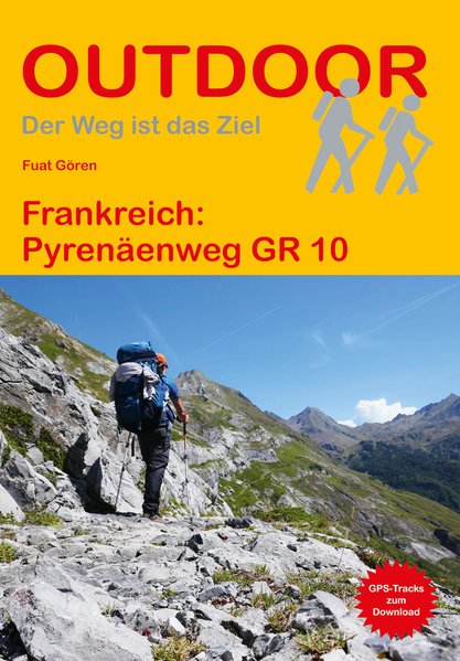
- Wandelgids 216 Pyrenäenweg GR10 - GR 10 | Conrad Stein Verlag
- Handzaam boekje (prettig klein formaat) met de routebeschrijving inclusief een heleboel praktische informatie. De beschrijving is uitstekend, maar kaarten zijn beperkt en schetsmatig aanwezig. Duits. Der GR 10 ist einer der bekanntesten Fernwanderwege Frankreichs. Von Hendaye an der französischen Atlantikküste wandern Sie über 933 km und ca.... Read more
Netherlands
2022
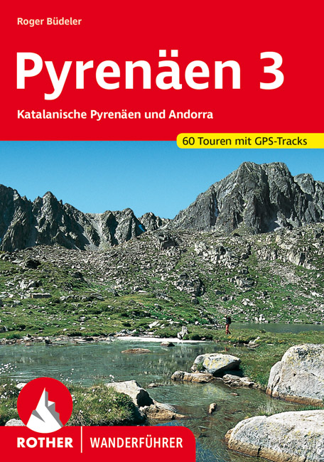
- Wandelgids 286 Pyrenäen 3 | Rother Bergverlag
- Uitstekende wandelgids met een groot aantal dagtochten in dal en hooggebergte. Met praktische informatie en beperkt kaartmateriaal! Wandelingen in verschillende zwaarte weergegeven in rood/blauw/zwart. 50 Wanderungen in einer der spektakulärsten Landschaften Spaniens Zu den spektakulärsten Landschaften Südwesteuropas zählen sicher die... Read more
Netherlands
2016
Kaarten

Netherlands
- Wandelkaart - Pelgrimsroute (kaart) 133 Spanischer Jakobsweg | Kompass
- The main route of the Way of St James to Compostela across northern Spain presented at 1:100,000 on a durable, waterproof and tear-resistant map from Kompass, arranged as 26 separate strips, each with a route profile, plus additional street plans of central Logro Read more
- Also available from:
- Stanfords, United Kingdom

United Kingdom
- The Way of St. James to Compostela: Spanish Section
- The main route of the Way of St James to Compostela across northern Spain presented at 1:100,000 on a durable, waterproof and tear-resistant map from Kompass, arranged as 26 separate strips, each with a route profile, plus additional street plans of central Logroño, Burgos, León and Santiago itself.The whole route is covered on 26 panels, each... Read more

Netherlands
2020
- Wandelatlas - Pelgrimsroute (kaart) 161 Chemins de Compostelle GR65 | Michelin
- Véritable petit atlas détaillant chaque étape avec indications précises concernant les villes de départ et d'arrivée ainsi que pour les localités traversées (auberges, refuges, restaurants, pharmacies, gare, épiceries, Km parcourus, Km restants....).Ce petit atlas suit le chemin du... Read more

Netherlands
2016
- Wandelgids The Cretan Way E4 | Anavasi
- The Cretan Way is a 500km walking route which takes you from east to west across the varied and spectacular landscapes of Crete. It is the ideal way to discover the rural, mountainous and costal regions of this incredible island. This guide is based on a 28-day walk.This guide includes practical information, maps at a scale of 1:25.000 of... Read more
- Also available from:
- Stanfords, United Kingdom

United Kingdom
2016
- The Cretan Way - A 28 Day Walk
- The Cretan Way is a 500km walking route which takes you from east to west across the varied and spectacular landscapes of Crete. It is the ideal way to discover the rural, mountainous and costal regions of this incredible island. This guide is based on a 28-day walk.This guide includes practical information, maps at a scale of 1:25.000 of... Read more

Netherlands
- Pelgrimsroute (kaart) - Wandelkaart Camino de Santiago in Spanje | CNIG - Instituto Geográfico Nacional
- All roads leading to Santiago de Compostela in the Iberian Peninsula are represented on this Caminos de Santiago / The Way of St. James Map. Routes highlighted on a physical map of the Iberian Peninsula at 1:1,250,000 from IGN/CNIG, Spain civilian topographic survey organization. The base map with altitude colouring and relief shading provides... Read more
- Also available from:
- Stanfords, United Kingdom

United Kingdom
- Caminos de Santiago / Ways of St. James on the Iberian Peninsula CNIG Overview Map
- All roads leading to Santiago de Compostela in the Iberian Peninsula are represented on this Caminos de Santiago / The Way of St. James Map. Routes highlighted on a physical map of the Iberian Peninsula at 1:1,250,000 from IGN/CNIG, Spain civilian topographic survey organization. The base map with altitude colouring and relief shading provides... Read more
Netherlands
- Also available from:
- Stanfords, United Kingdom

United Kingdom
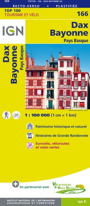
- Dax - Bayonne - Pays Basque IGN TOP100 166
- Discover the new double-sided laminated edition of TOP100 road maps of France from the Institut Géographique National (IGN); exceptionally detailed, contoured road maps which include the cycle paths and greenways of the AF3V (French Association for the Development of Cycle Paths and Greenways), ideal for exploring the French countryside by car,... Read more
Netherlands
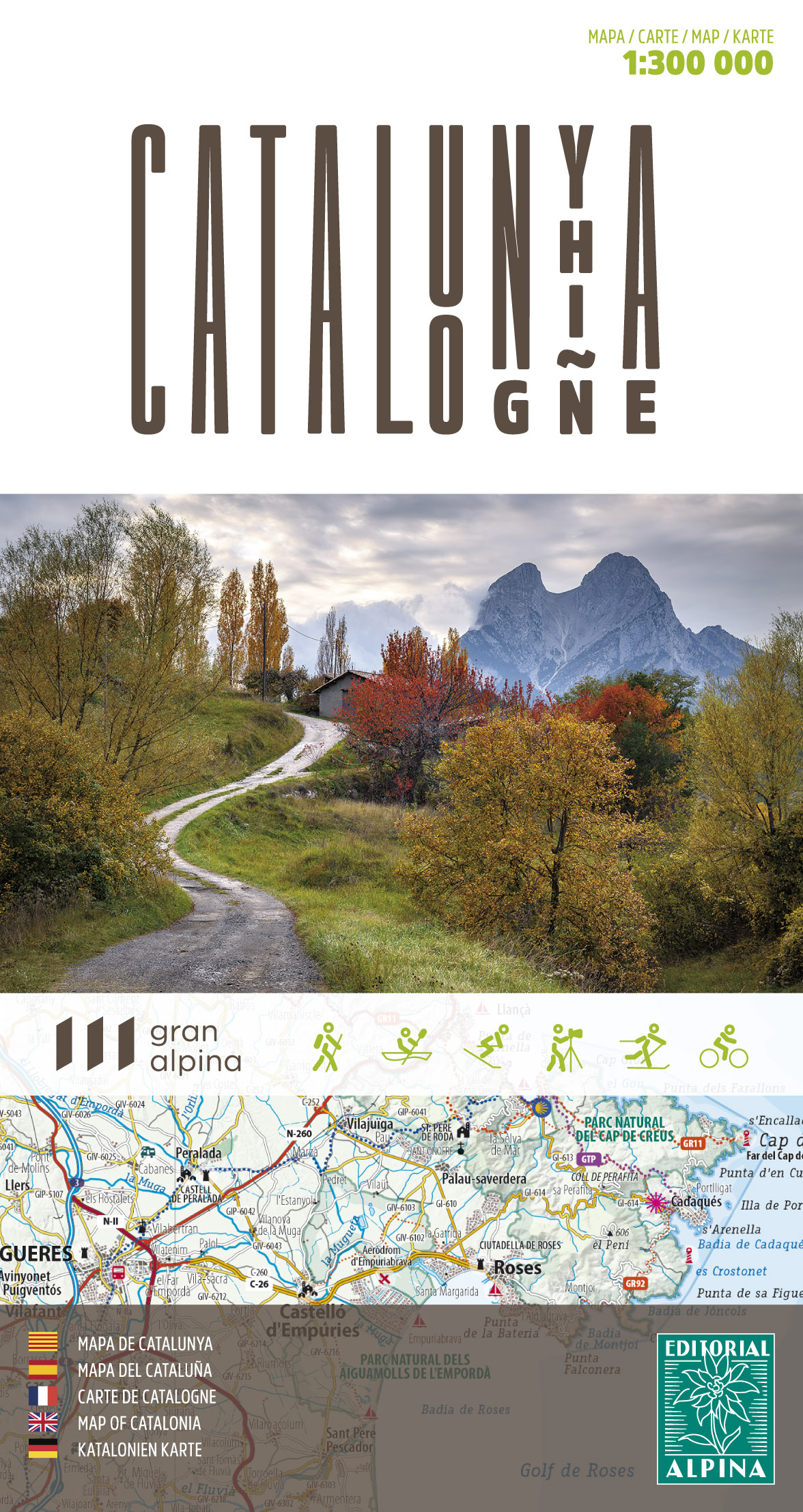
- Wandelkaart - Wegenkaart - landkaart Catalunya - Catalonië Overzichtskaart LAW | Editorial Alpina
- Een handige overzichtskaart van Catalonië waarop alle GR-s en andere lange astands wandelpaden staan ingetekend. Waar mogelijk is er ook extra informatie toegevoegd als berghutten en toeristische hoogtepunten van de regio. Een mooie kaart als je een langere route in dit gebied wilt plannen. Read more
Netherlands
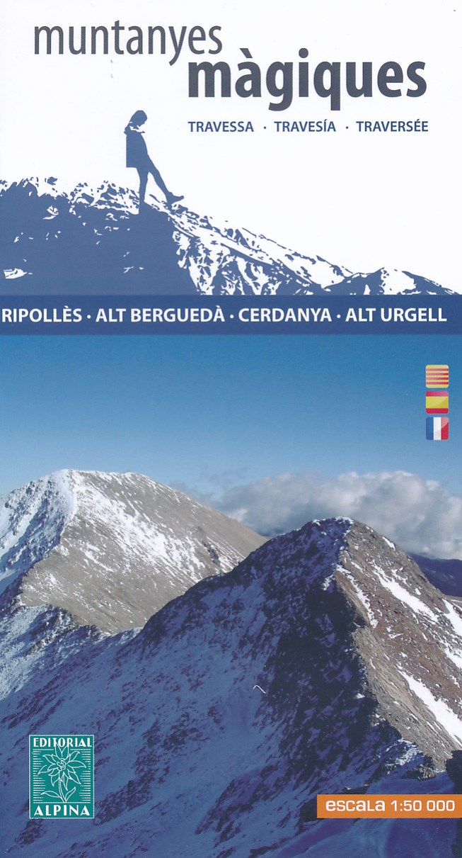
- Wandelkaart Muntanyes Magiques travessa | Editorial Alpina
- Muntanyes Màgiques / Magical Mountains Hiking Trail, a 98km-long hiking route along the peaks and the foothills of eastern Pyrenees presented by Editorial Alpina at 1:50,000 on a contoured and GPS compatible map. The route starts in Ribes de Freser and climbs northwards to follow a section of the Spanish/French border before continuing... Read more
- Also available from:
- Stanfords, United Kingdom

United Kingdom
- Muntanyes Màgiques / Magical Mountains Hiking Trail
- Muntanyes Màgiques / Magical Mountains Hiking Trail, a 98km-long hiking route along the peaks and the foothills of eastern Pyrenees presented by Editorial Alpina at 1:50,000 on a contoured and GPS compatible map. The route starts in Ribes de Freser and climbs northwards to follow a section of the Spanish/French border before continuing... Read more

Netherlands
- Wandelkaart Trekking map Central Pyrenees - Pyreneeën | TerraQuest
- The central part of the French Pyrenees on a waterproof and tear-resistant, contoured and GPS compatible map at 1:50,000 from terraQuest, highlighting hiking trails, campsites and refuges, etc. The map is presented in a special format handy for conveniently viewing just small sections of it at one time.Coverage extends north to the towns... Read more
- Also available from:
- Stanfords, United Kingdom

United Kingdom
- Central Pyrenees terraQuest Trekking Map
- The central part of the French Pyrenees on a waterproof and tear-resistant, contoured and GPS compatible map at 1:50,000 from terraQuest, highlighting hiking trails, campsites and refuges, etc. The map is presented in a special format handy for conveniently viewing just small sections of it at one time.Coverage extends north to the towns... Read more

Netherlands
- Wandelkaart 2 Stara Planina gebergte | Domino
- Stara Planina Central: Uzana to Vratnik map at 1:50,000 from Bulgarian publishers Domino, contoured and GPS compatible, with hiking trails, accommodation options including a list of local mountain refuges, etc. The map is double-sided and covers the mountains from just west of the Uzana massif, the geographical centre of Bulgaria, eastwards to... Read more
- Also available from:
- Stanfords, United Kingdom

United Kingdom
- Stara Planina Central: Uzana to Vratnik Domino Map
- Stara Planina Central: Uzana to Vratnik map at 1:50,000 from Bulgarian publishers Domino, contoured and GPS compatible, with hiking trails, accommodation options including a list of local mountain refuges, etc. The map is double-sided and covers the mountains from just west of the Uzana massif, the geographical centre of Bulgaria, eastwards to... Read more

Netherlands
- Wandelkaart - Fietskaart - Wegenkaart - landkaart 448 Western Crete - Kreta West | Terrain maps
- Western Crete at 1:100,000 on an indexed, GPS compatible road map from Terrain Editions, printed on light, waterproof and tear-resistant plastic paper, with a street plan of central Chania.This title is part of a series which covers Crete in three sheets. The maps have contours at 100m intervals, enhanced by relief shading with spot heights and... Read more
- Also available from:
- Stanfords, United Kingdom

United Kingdom
- Western Crete Terrain Editions 448
- Western Crete at 1:100,000 on an indexed, GPS compatible road map from Terrain Editions, printed on light, waterproof and tear-resistant plastic paper, with a street plan of central Chania.This title is part of a series which covers Crete in three sheets. The maps have contours at 100m intervals, enhanced by relief shading with spot heights and... Read more
Netherlands
2015
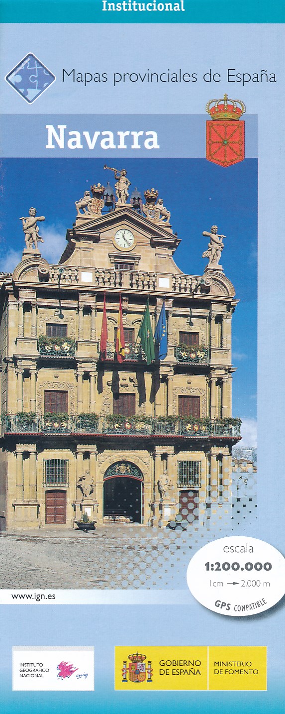
- Wegenkaart - landkaart Mapa Provincial Navarra | CNIG - Instituto Geográfico Nacional
- Contoured, GPS-compatible, indexed road map at 1:200,000 from CNIG - Spain’s civilian survey organization, with exceptionally informative presentation of the landscape and highlighting for facilities and places of interest including campsites and paradors.Maps in CNIG’s 200K Provincial Series provide an excellent picture the topography through... Read more
- Also available from:
- Stanfords, United Kingdom

United Kingdom
2015
- Navarra Province 200K CNIG Map No. 33
- Contoured, GPS-compatible, indexed road map at 1:200,000 from CNIG - Spain’s civilian survey organization, with exceptionally informative presentation of the landscape and highlighting for facilities and places of interest including campsites and paradors.Maps in CNIG’s 200K Provincial Series provide an excellent picture the topography through... Read more