
Jura
Beschrijving

The Jura is the mountain range west and north of the Lake of Geneva, roughly situated between Mulhouse and Lyon, shared by France and Switzerland. The Jurassic period of our geoglogical timescale derives its name of this mountain range. The mountains are much older than the Alps. Large forests, long worn ridges, rich grounds: it is a very good area for hiking. The GR5 - E2 traverses the northern part of the Jura. GR9 - E4 lie in the southern part.
Kaart


Paden in deze regio
Links
Feiten
Verslagen
Gidsen en kaarten
Overnachting
Organisaties
Reisorganisaties
GPS
Anders
Boeken


De Zwerver
Netherlands
2022
Netherlands
2022


De Zwerver
Netherlands
2021
Netherlands
2021
De Zwerver
Netherlands
2022
Netherlands
2022
- Wandelgids Altmühltal | Rother Bergverlag
- Uitstekende wandelgids met een groot aantal dagtochten in dal en hooggebergte. Met praktische informatie en beperkt kaartmateriaal! Wandelingen in verschillende zwaarte weergegeven in rood/blauw/zwart. Über 50 Wanderungen in einer vielfältigen Mittelgebirgslandschaft Das gute liegt oft so nah, das Altmühltal liegt für Viele sogar fast vor der... Read more


De Zwerver
Netherlands
2023
Netherlands
2023


De Zwerver
Netherlands
2018
Netherlands
2018
- Wandelgids Tourist route E4 in Bulgaria | Oilaripi
- Verrassend goede wandelgids van een deel van de E4 in Bulgarije. Goede kaarten, hoogteprofielen, prima beschrijvingen en praktische informatie maken het een volwaardige wandelgids die je in eerste instantie van dit gebied niet zou verwachten. Guidebook along the main ridge of the great alpine route E4 in Bulgaria, also known as �the fiv... Read more
De Zwerver
Netherlands
2023
Netherlands
2023
- Wandelgids - Pelgrimsroute Via Francigena - Lausanne naar Rome | Rother Bergverlag
- Von Lausanne nach Rom. 52 Etappen. Mit GPS-Daten Rother Wanderführer. 1., Auflage. Read more
De Zwerver
Netherlands
2022
Netherlands
2022
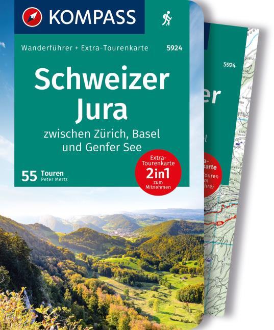
- Wandelgids 252 Französischer Jura | Rother Bergverlag
- Uitstekende wandelgids met 52 dagtochten in dal en hoger gelegen delen van het gebergte. Met praktische informatie en beperkt kaartmateriaal! Wandelingen in verschillende zwaarte weergegeven in rood/blauw/zwart. Deze wandelgidsen uitgever staat hoog aangeschreven en is een begrip onder de wandelaars! Der Jura ist eine der abwechslungsreichsten... Read more

De Zwerver
Netherlands
2013
Netherlands
2013
- Wandelgids 1451 La Via Francigena à travers le Pas-de-Calais GR145 | FFRP
- Guide FFRandonnée La Via Francigena à travers le Pas-de-Calais - GR 145 - 245 Km de sentiers GR.Ancienne voie de pèlerinage, au même titre que les chemins de Saint-Jacques ou du Mont-Saint-Michel, ce topo-guide bilingue français/anglais (une grande première !) comprend les 245 premiers kilomètres français de l'itinéraire ancestral reliant... Read more

De Zwerver
Netherlands
2021
Netherlands
2021
- Wandelgids 265 Vogesen - Durchquerung: GR53 GR5 | Rother Bergverlag
- In 37 etappes over de Lange Astands Wandelingen GR 53, GR 5 en GR 531 van Wissembourg naar Giromagny en Masevaux door de prachtige Vogezen. Goed alternatief voor de langverwachte maar nog steeds niet uitgekomen Crete des Vosges wandelgids van FFRP. Duitse samenvatting: Die Vogesen sind nicht nur eines der urwüchsigsten Mittelgebirge in unseren... Read more
Meer boeken…

Kaarten

De Zwerver
Netherlands
2020
Netherlands
2020
- Wandelatlas - Pelgrimsroute (kaart) 161 Chemins de Compostelle GR65 | Michelin
- Véritable petit atlas détaillant chaque étape avec indications précises concernant les villes de départ et d'arrivée ainsi que pour les localités traversées (auberges, refuges, restaurants, pharmacies, gare, épiceries, Km parcourus, Km restants....).Ce petit atlas suit le chemin du... Read more

De Zwerver
Netherlands
2016
Netherlands
2016
- Wandelgids The Cretan Way E4 | Anavasi
- The Cretan Way is a 500km walking route which takes you from east to west across the varied and spectacular landscapes of Crete. It is the ideal way to discover the rural, mountainous and costal regions of this incredible island. This guide is based on a 28-day walk.This guide includes practical information, maps at a scale of 1:25.000 of... Read more
De Zwerver
Netherlands
Netherlands
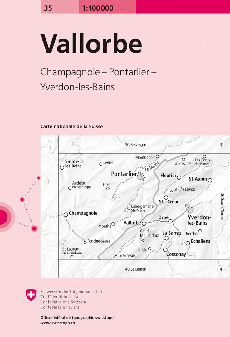
- Fietskaart - Topografische kaart - Wegenkaart - landkaart 35 Vallorbe | Swisstopo
- Map No. 35, Vallorbe, in the Swiss topographic survey at 1:100,000 published in 23 standard sheets (Nos. 26 - 48), with special larger maps centred on popular tourist destinations (Nos. 101 - 111). Swiss survey maps are highly regarded for their superb use of graphic relief and hill shading, presenting an almost 3-D picture of the country's... Read more
De Zwerver
Netherlands
Netherlands
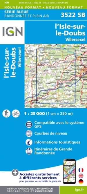
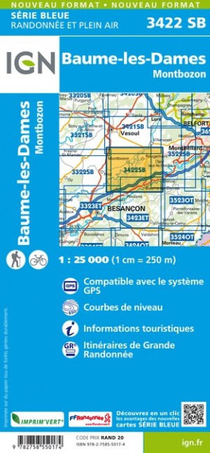
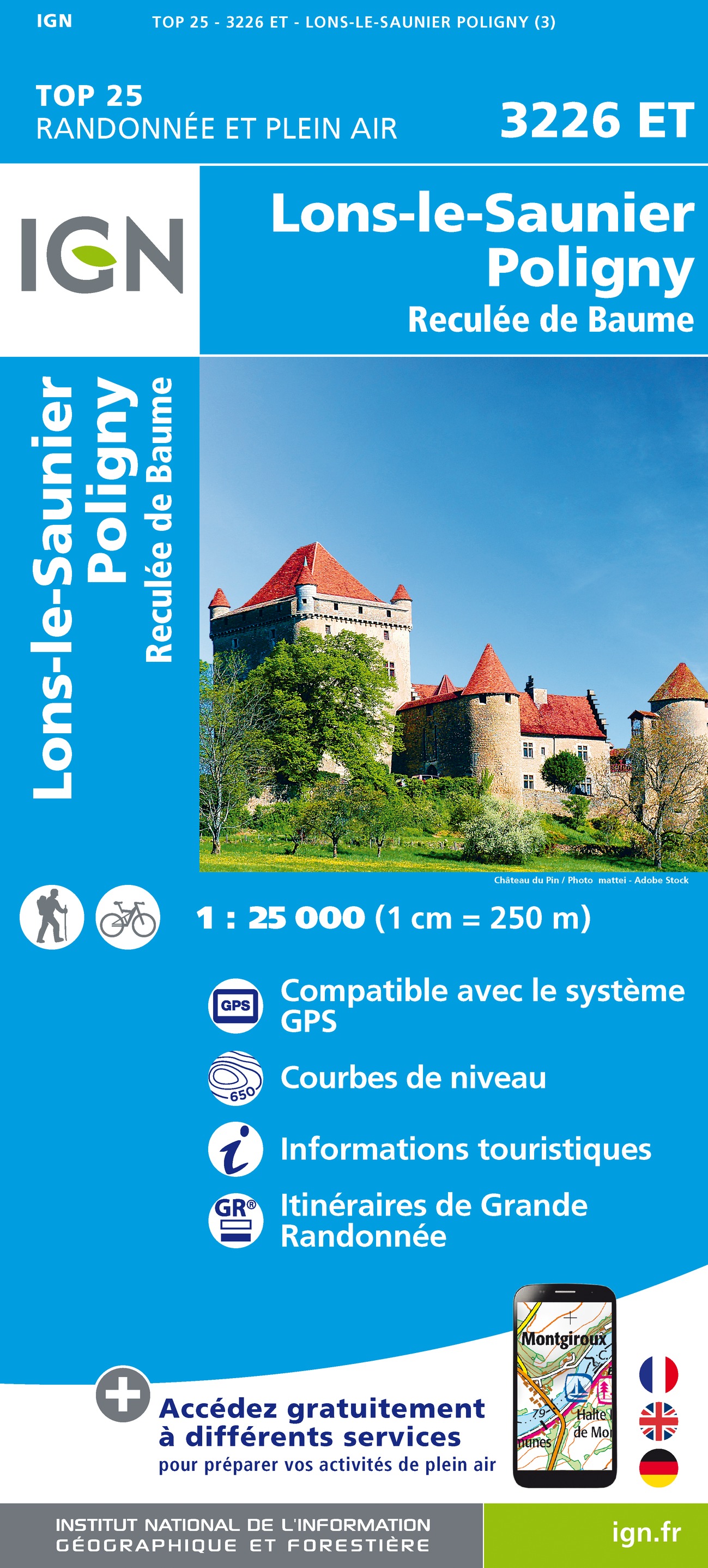
- Wandelkaart - Topografische kaart 3226ET Lons-le-Saunier - Poligny | IGN - Institut Géographique National
- Topographic survey of France at 1:25,000 in IGN`s excellent TOP25 / Série Bleue series. All the maps are GPS compatible, with a 1km UTM grid plus latitude and longitude lines at 5’ intervals. Contours are at 5m intervals except for mountainous areas where the maps have contours at 10m intervals, vividly enhanced by hill shading and graphics for... Read more
De Zwerver
Netherlands
Netherlands
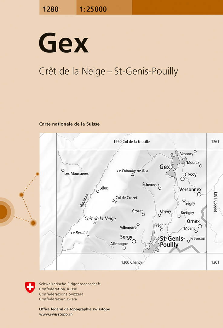
- Wandelkaart - Topografische kaart 1280 Gex | Swisstopo
- Map No. 1280, Gex, in the topographic survey of Switzerland at 1:25,000 from Bundesamt f Read more

De Zwerver
Netherlands
Netherlands
- Wandelkaart - Fietskaart - Wegenkaart - landkaart 450 Eastern Crete - Kreta Oost | Terrain maps
- Eastern Crete at 1:100,000 on an indexed, GPS compatible road map from Terrain Editions, printed on light, waterproof and tear-resistant plastic paper, with a street plan of central Aghios Nikolaos.This title is part of a series which covers Crete in three sheets. The maps have contours at 100m intervals, enhanced by relief shading with spot... Read more
De Zwerver
Netherlands
Netherlands
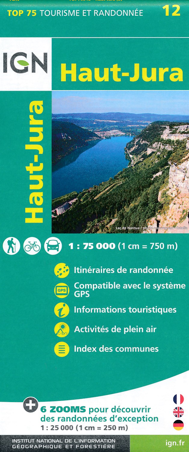
- Fietskaart - Wandelkaart 12 Parc naturel régional Haut-Jura | IGN - Institut Géographique National
- French Jura region in a series of GPS compatible, contoured TOP 75 maps at 1:75,000 from the IGN, highlighting local and long-distance hiking paths, cycling routes and sites for other recreational activities. The map includes five large panels showing the areas around Cascades du Hérrison, Le Mont d’Or, Crêt Pela, Lac de Vouglans, and Crêt de... Read more
De Zwerver
Netherlands
Netherlands
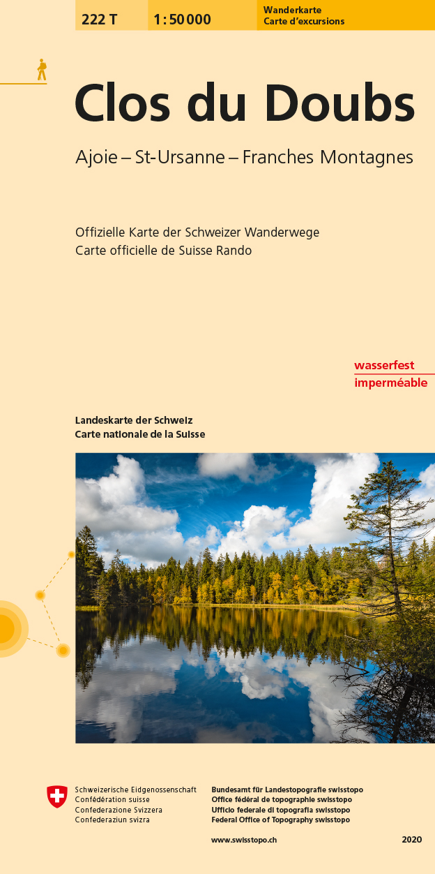
- Wandelkaart 222T Clos du Doubs | Swisstopo
- Clos du Doubs area, map No. 222T, at 1:50,000 in a special hiking edition of the country Read more
De Zwerver
Netherlands
Netherlands
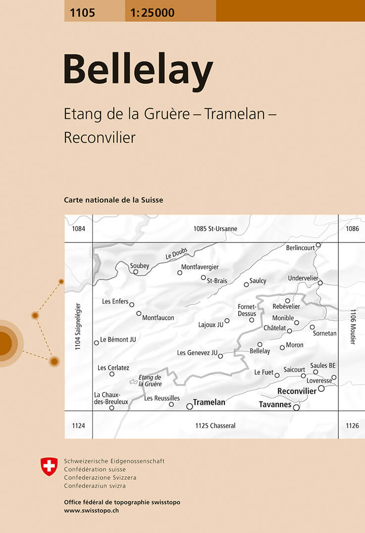
- Wandelkaart - Topografische kaart 1105 Bellelay | Swisstopo
- Map No. 1105, Bellelay, in the topographic survey of Switzerland at 1:25,000 from Bundesamt f Read more

De Zwerver
Netherlands
Netherlands
- Wandelkaart 07 Outdoorkarte FR Elsass, Vogesen - Alsace, Strasbourg Elzas - Vogezen | Kümmerly & Frey
- The central part of Alsace around Strasbourg and Saverne on a GPS compatible, double-sided map at 1:50,000 from K Read more
De Zwerver
Netherlands
Netherlands
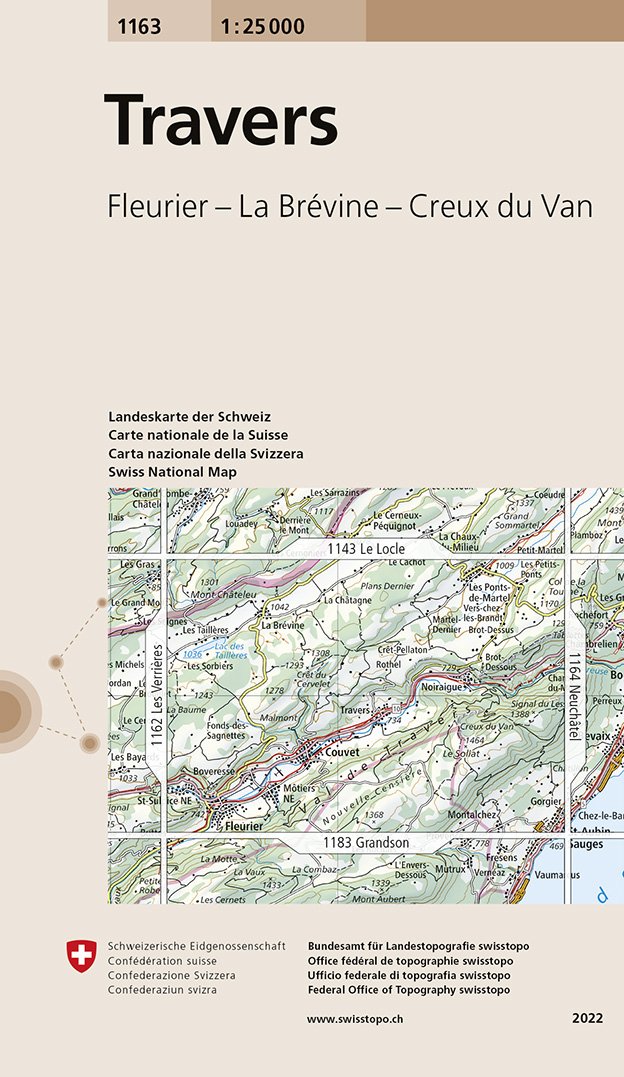
- Wandelkaart - Topografische kaart 1163 Travers | Swisstopo
- Map No. 1163, Travers, in the topographic survey of Switzerland at 1:25,000 from Bundesamt f Read more