
Scotland
Beschrijving
Kaart


Paden in deze landsdeel
- Annandale WayGPX
- Arran Coastal WayGPX
- Borders Abbeys WayGPX
- Cape Wrath TrailGPX
- Cateran TrailGPX
- Cowal WayGPX
- Dava WayGPX
- E2GPX
- Fife Coastal PathGPX
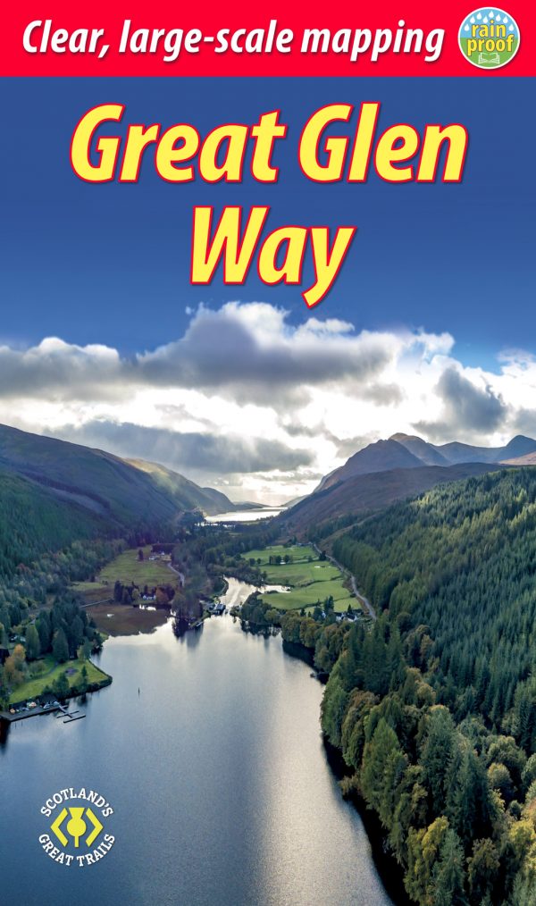
- Great Glen WayGPX
- Highland High Way
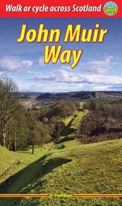
- John Muir WayGPX
- Kintyre WayGPX
- Lairig Ghru
- Lands End to John o'GroatsGPX
- Mary Queen of Scots WayGPX
- Moray Coast TrailGPX
- Moray Way
- North Sea TrailGPX
- River Ayr WayGPX
- Rob Roy WayGPX
- Saint Cuthbert's WayGPX
- Scottish Coast to Coast
- Sir Walter Scott Way
- Southern Upland WayGPX
- Speyside WayGPX
- West Highland WayGPX
- West Island WayGPX
Links
Feiten
Verslagen
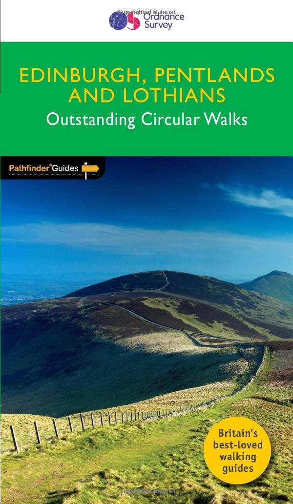
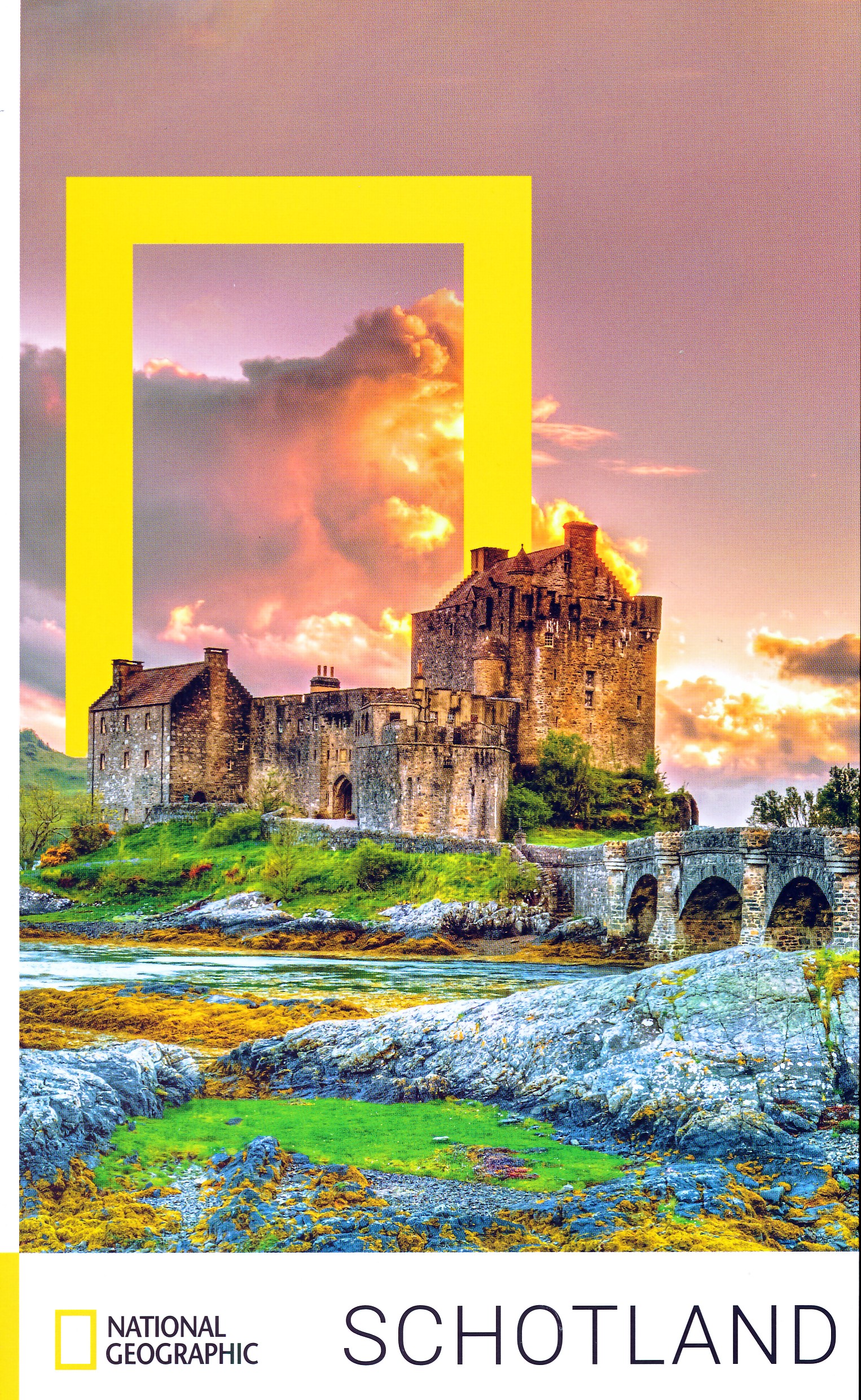
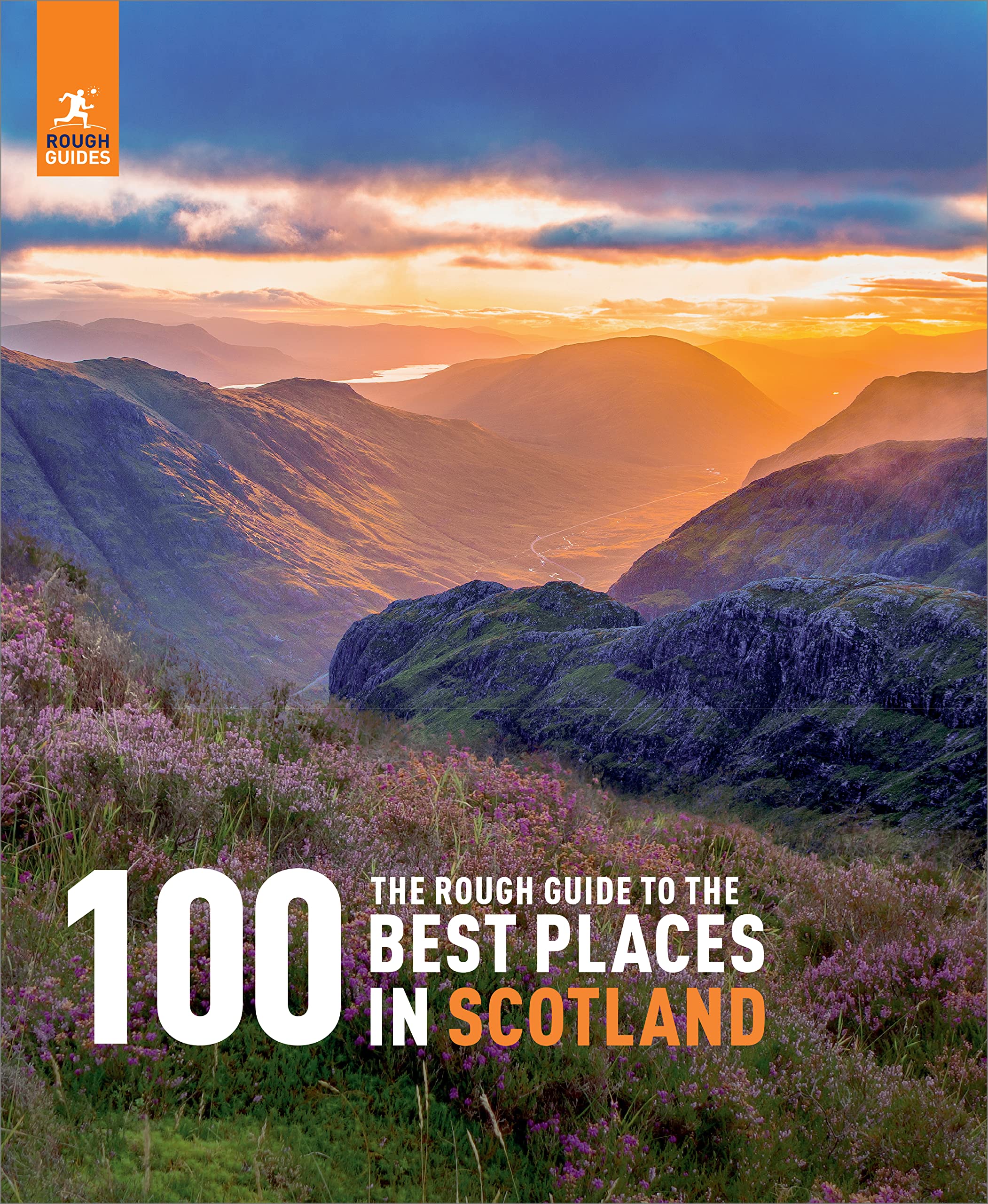
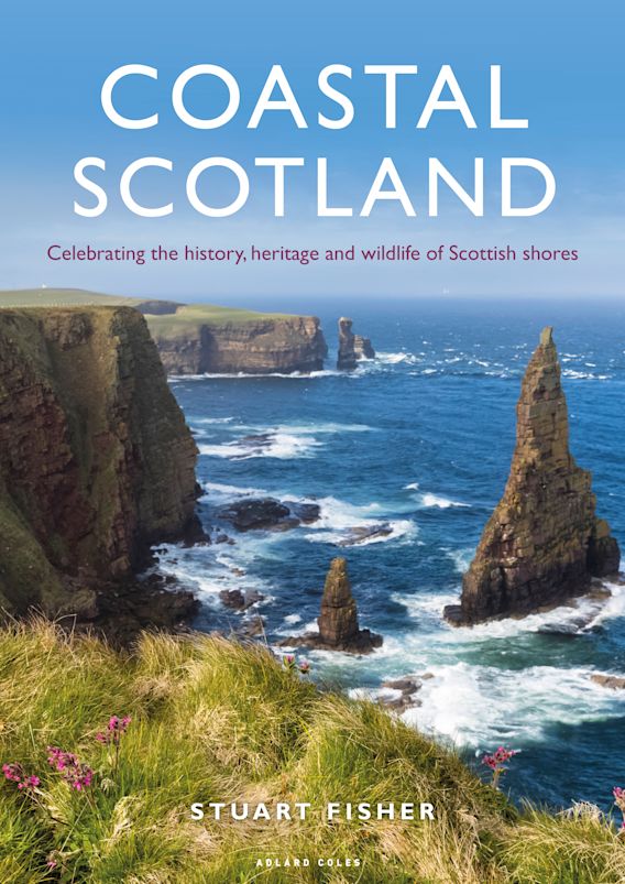
Gidsen en kaarten
Overnachting
Organisaties
Reisorganisaties
GPS
Anders
Boeken
De Zwerver
Netherlands
2018
Netherlands
2018
De Zwerver
Netherlands
2022
Netherlands
2022

De Zwerver
Netherlands
2015
Netherlands
2015
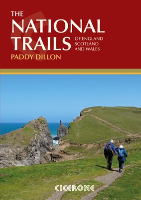
- Wandelgids the National Trails - Great British Walks - Engeland, Wales en Schotland | Cicerone
- This inspirational guidebook looks at each of the UK's 19 National Trails, with information that allows ease of comparison and contrast, inspiring you to find out more and to take up a long-distance challenge. Some Trails are short and easy, others much longer, many have strong themes - they may follow a coastline, or traverse ranges of hills. Read more
De Zwerver
Netherlands
2017
Netherlands
2017
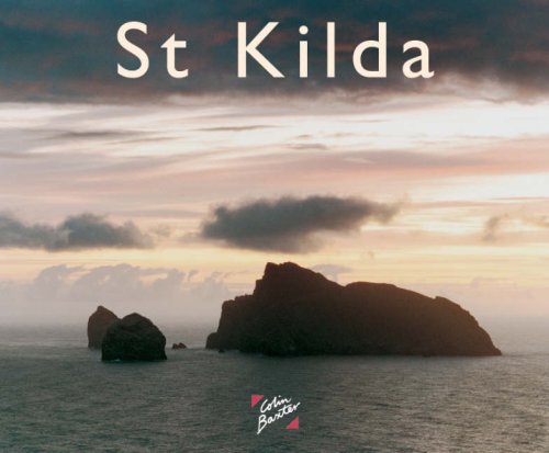
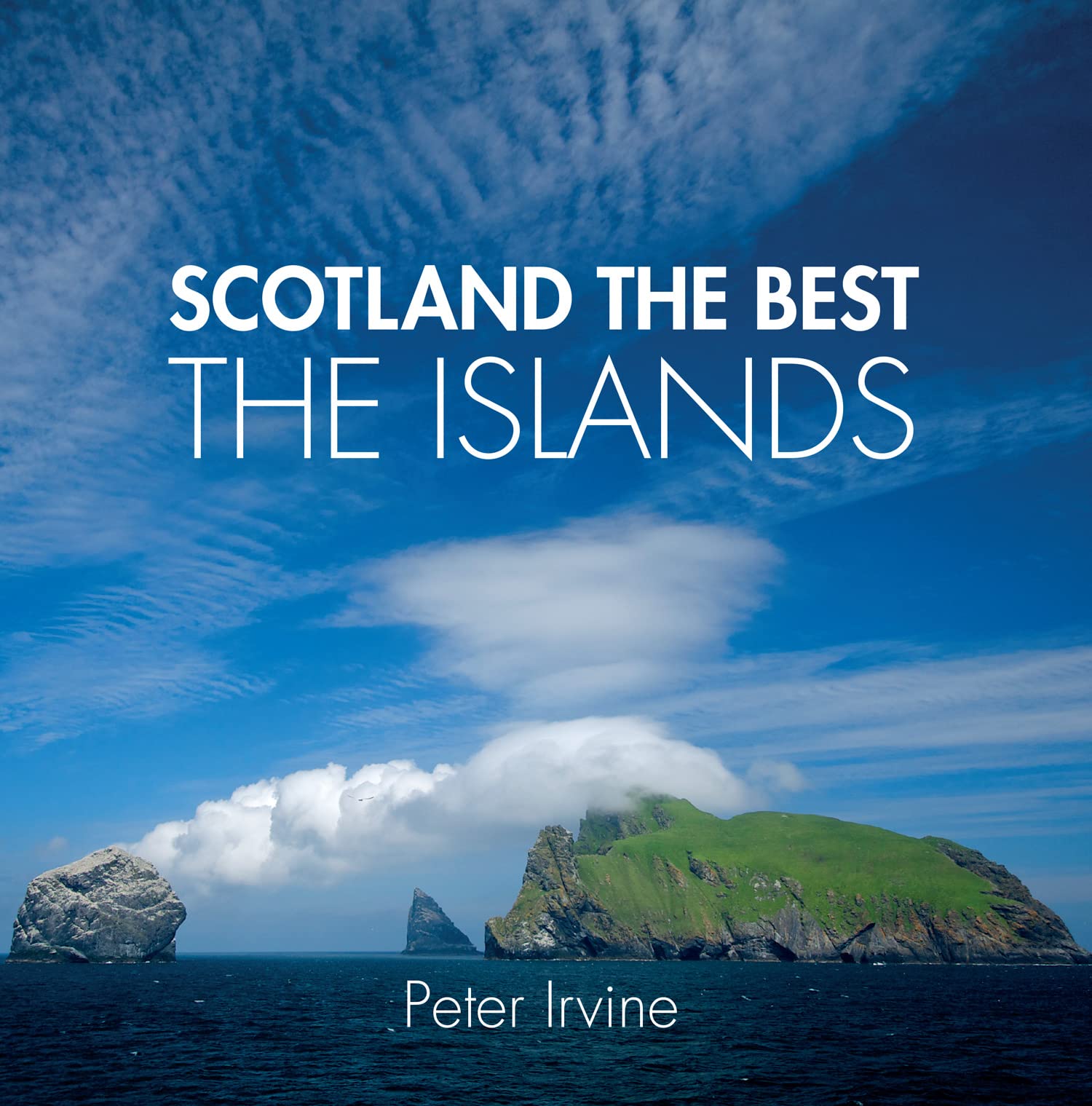
- Reisgids St. Kilda | Colin Baxter
- Leuk, informatief boekje vol foto´s van deze verlaten en verafgelegen eilandengroep. St Kilda is Britain´s most remote group of islands, lying 40 miles west of Scotland´s Western Isles. For some 4000 years its inhabitants battled with the elements to survive before finally being evacuated in 1930. Now a world heritage site, the islands are... Read more

De Zwerver
Netherlands
2021
Netherlands
2021
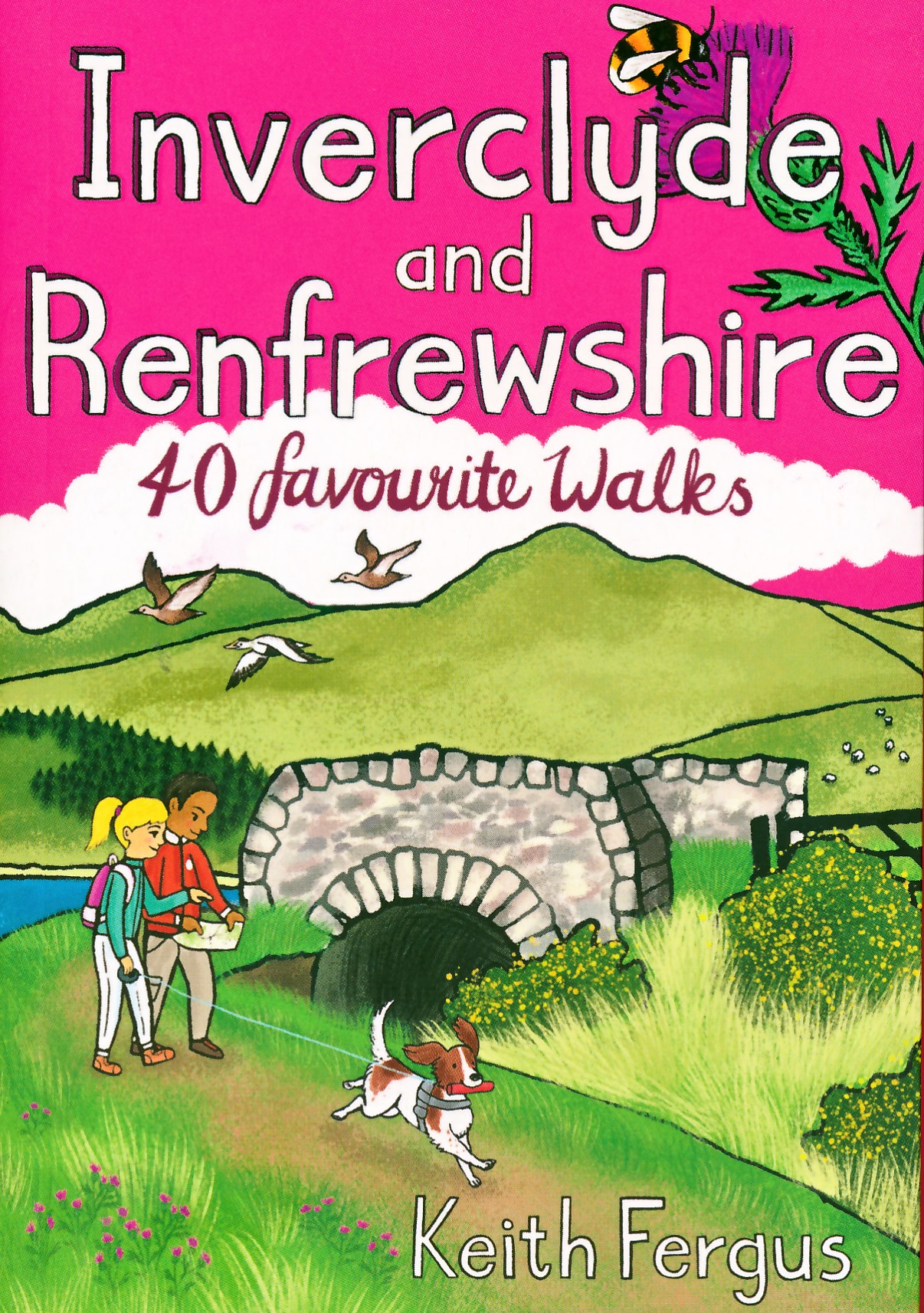
- Wandelgids Inverclyde and Renfrewshire | Pocket Mountains
- Bordered by the city of Glasgow to the east and the Firth of Clyde to the west, the villages and towns of Inverclyde and Renfrewshire prospered and grew during their textile manufacturing, sugar-refining and shipbuilding glory years. The factories, mills and yards may be quieter now but the natural assets which enabled much of that prosperity... Read more
- Also available from:
- Stanfords, United Kingdom

Stanfords
United Kingdom
2021
United Kingdom
2021
- Inverclyde and Renfrewshire: 40 favourite walks
- Bordered by the city of Glasgow to the east and the Firth of Clyde to the west, the villages and towns of Inverclyde and Renfrewshire prospered and grew during their textile manufacturing, sugar-refining and shipbuilding glory years. The factories, mills and yards may be quieter now but the natural assets which enabled much of that prosperity... Read more
De Zwerver
Netherlands
2003
Netherlands
2003
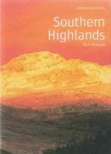
- Wandelgids Southern Highlands | Pocket Mountains
- Mooi uitgevoerde wandelgids in een handzaam formaat: 15 x 10 cm. De wandelingen zijn duidelijk beschreven, soms een beetje summier. This Pocket Mountains guide to the Southern Highlands of Scotland covers Glenlyon to Rannoch, Kinross to Callander, The Arrochar Alps, The Trossachs to the Mamlorn Hills, Hills of Crianlarich and Tyndrum -40... Read more
- Also available from:
- Stanfords, United Kingdom

Stanfords
United Kingdom
2003
United Kingdom
2003
- Southern Highlands
- This guide features 40 circular walks in the fascinating hill country of the Southern Highlands From the craggy peaks of Argyll to the high mountain ridges of Perthshire, the Southern Highlands contain some of Scotland¹s most varied landscapes. Much of the area covered in this guide is part of the Loch Lomond and The Trossachs National Park.... Read more
Meer boeken…
Kaarten
De Zwerver
Netherlands
2017
Netherlands
2017
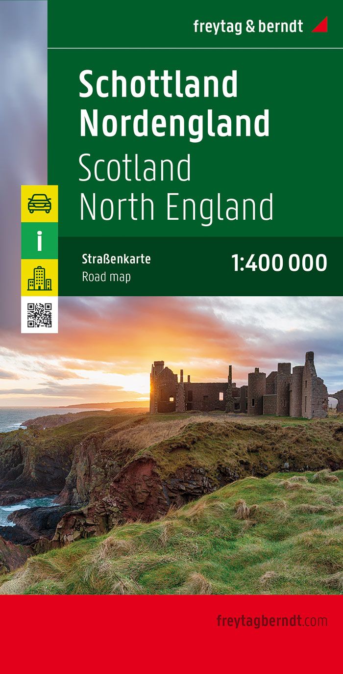
- Wegenkaart - landkaart Schotland en Noord Engeland | Freytag & Berndt
- Schottland, Nordengland 1 : 400 000. Autokarte ab 10.9 EURO Scotland, Nothern England / Citypläne / Ortsregister / Touristische Informationen Freytag & Berndt Autokarte. Neuauflage Read more

De Zwerver
Netherlands
2014
Netherlands
2014
- Wandelkaart Glyndwr's Way | Harvey Maps
- Glyndwr's Way, a 217km / 135 mile long trail from Knighton in Powys to Welshpool presented at 1:40,000 on a GPS compatible, light, waterproof and tear-resistant map from Harvey Map Services. The whole route is covered on eight overlapping panels. Map legend includes Welsh; most of the additional information is in English only.Maps in the Harvey Read more
- Also available from:
- Stanfords, United Kingdom

Stanfords
United Kingdom
2014
United Kingdom
2014
- Glyndwr`s Way Harvey National Trail XT40
- Glyndwr`s Way, a 217km / 135 mile long trail from Knighton in Powys to Welshpool presented at 1:40,000 on a GPS compatible, light, waterproof and tear-resistant map from Harvey Map Services. The whole route is covered on eight overlapping panels. Map legend includes Welsh; most of the additional information is in English only.Maps in the... Read more

De Zwerver
Netherlands
Netherlands
De Zwerver
Netherlands
2019
Netherlands
2019
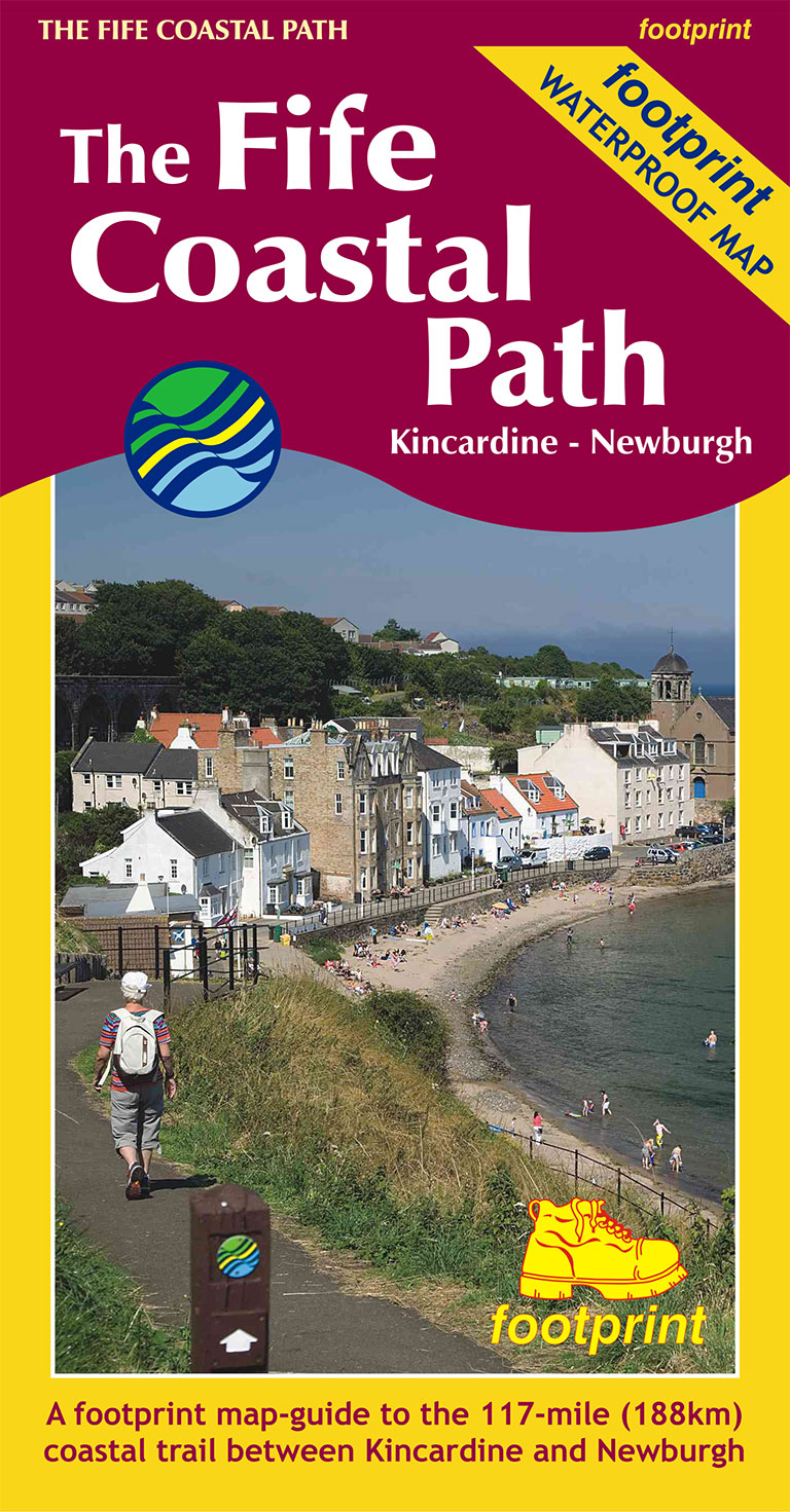
- Wandelkaart The Fife Coastal Path | Footprint maps
- High quality, specially created strip map of this unique 117 mile coastal path from the Kincardine Bridge to Newburgh on the Firth of Tay.This new edition contains maps of the whole route, at 1:40,000 and based on OS data. Compact and concise, the map is printed on waterproof paper and is supplied in a durable slipcase.For every copy of this... Read more
- Also available from:
- Stanfords, United Kingdom

Stanfords
United Kingdom
2019
United Kingdom
2019
- The Fife Coastal Path - Kincardine to Newburgh
- High quality, specially created strip map of this unique 117 mile coastal path from the Kincardine Bridge to Newburgh on the Firth of Tay.This new edition contains maps of the whole route, at 1:40,000 and based on OS data. Compact and concise, the map is printed on waterproof paper and is supplied in a durable slipcase.For every copy of this... Read more
De Zwerver
Netherlands
Netherlands
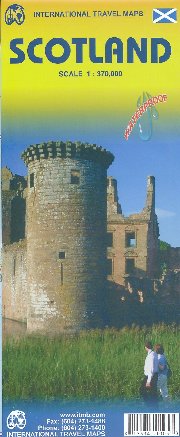
- Wegenkaart - landkaart Scotland - Schotland | ITMB
- Carte routière en couleur utile pour les voyageurs. Textes en anglais uniquement. Read more
De Zwerver
Netherlands
2020
Netherlands
2020
De Zwerver
Netherlands
Netherlands
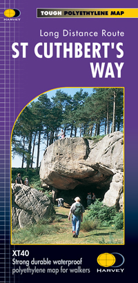
- Wandelkaart St Cuthbert's Way | Harvey Maps
- St. Cuthbert's Way, a 100km / 62.5 mile route from Melrose in the Scottish Borders through the Northumberland National Park to the Holly Island of Lindisfarne, presented at 1:40,000 on a GPS compatible, light, waterproof and tear-resistant map from Harvey Map Services. The route is shown on six panels, with additional small street plans of... Read more
- Also available from:
- Stanfords, United Kingdom

Stanfords
United Kingdom
United Kingdom
- St Cuthbert`s Way Harvey National Trail XT40
- St. Cuthbert`s Way, a 100km / 62.5 mile route from Melrose in the Scottish Borders through the Northumberland National Park to the Holly Island of Lindisfarne, presented at 1:40,000 on a GPS compatible, light, waterproof and tear-resistant map from Harvey Map Services. The route is shown on six panels, with additional small street plans of... Read more
De Zwerver
Netherlands
Netherlands
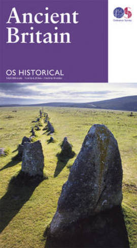
- Wegenkaart - landkaart Ancient Britain | Ordnance Survey
- Ancient Britain’s sites, monuments and related museums overprinted on a large, double-sided present day map of the country at 1:625,000 from the Ordnance Survey, plus numerous panels, maps and photos providing extensive additional information.The base map has altitude colouring to indicate the topography and shows the present day road network.... Read more
- Also available from:
- Stanfords, United Kingdom

Stanfords
United Kingdom
United Kingdom
- Ancient Britain OS Map
- Ancient Britain’s sites, monuments and related museums overprinted on a large, double-sided present day map of the country at 1:625,000 from the Ordnance Survey, plus numerous panels, maps and photos providing extensive additional information.The base map has altitude colouring to indicate the topography and shows the present day road network.... Read more
De Zwerver
Netherlands
2023
Netherlands
2023
De Zwerver
Netherlands
2013
Netherlands
2013
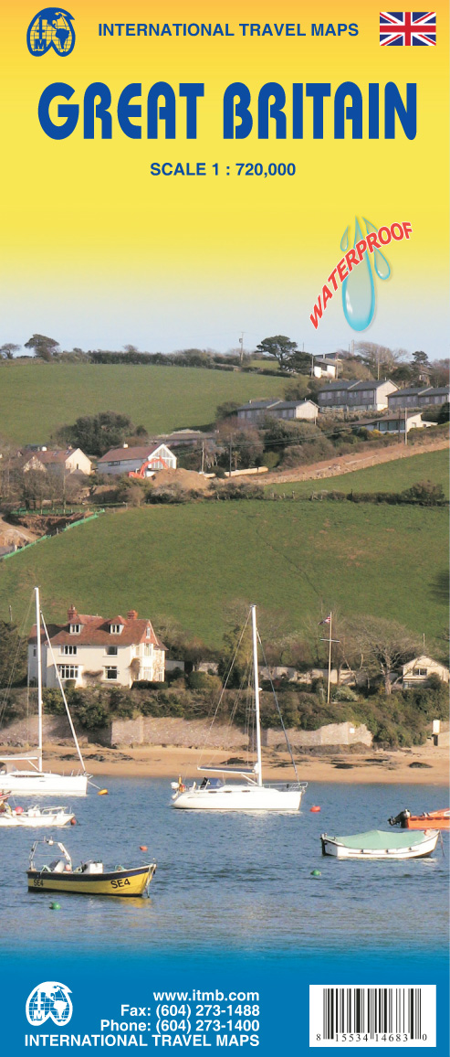
- Wegenkaart - landkaart Great Britain - Engeland - Schotland | ITMB
- Great Britain Travel Reference Map 1 : 720 000 ab 9.99 EURO 3rd Revised edition. Read more

De Zwerver
Netherlands
Netherlands
- Wandelkaart - Fietskaart South Downs Way | Harvey Maps
- The South Downs Way, a 160km / 100 mile National Trail from Eastbourne to Winchester, presented at 1:40,000 on a light, waterproof and tear-resistant map from Harvey Map Services. The route is shown on nine panels, with additional small street plans of Eastbourne and Winchester. Map legend and the accompanying notes are also in French and... Read more
- Also available from:
- Stanfords, United Kingdom

Stanfords
United Kingdom
United Kingdom
- South Downs Way Harvey National Trail XT40
- The South Downs Way, a 160km / 100 mile National Trail from Eastbourne to Winchester, presented at 1:40,000 on a light, waterproof and tear-resistant map from Harvey Map Services. The route is shown on nine panels, with additional small street plans of Eastbourne and Winchester. Map legend and the accompanying notes are also in French and... Read more
De Zwerver
Netherlands
2022
Netherlands
2022
.jpg)
De Zwerver
Netherlands
Netherlands
- Wegenkaart - landkaart 501 Schotland | Michelin
- Entre lochs et châteaux, la carte REGION Ecosse est destinée à ceux qui souhaitent avoir une vision globale de la région, des grands axes comme des petites routes. Read more