
Appalachian Trail
Beschrijving
- Name Appalachian Trail (AT)
- Lengte van pad 3,476 km, 2,160 mijl
- Lengte in dagen 180 dagen
- Traildino graad SW, Inspannende wandeling, bergpad
- Huttentrektocht graad T2, Bergtocht
 The Appalachian Trail is the oldest and most famous long distance hike in the U.S. It follows the Appalachian mountain range through 14 eastern states. An estimated 10,000 thru-hikers have finished the Appalachian Trail. It is possible to thru-hike it in one season. The 2160 miles (3480 km) can be completed in 47 days, 13 hours and 31 minutes (Andrew Thompson did it in 2005).
Kaart


Links
Feiten
Verslagen
Gidsen en kaarten
Overnachting
Organisaties
Reisorganisaties
GPS
Anders
Boeken


De Zwerver
Netherlands
2018
Netherlands
2018
- Wandelgids USA: Appalachian Trail | Conrad Stein Verlag
- Handzame overzichtsgids van deze geweldige en uitdagende lange afstands wandeling in het oosten van de USA: de Appalachian Trail. Het is een ideale gids om de hele tocht voor te bereiden en als basisgids bij je te hebben. Goede beschrijvingen van etappes en veel praktische informatie. Het enige wat mager is zijn dekaarten: goed voor overzicht... Read more

De Zwerver
Netherlands
Netherlands

Bol.com
Netherlands
Netherlands
- Notes from the Element
- When eighth-grade schoolteacher Roger Taylor turned forty, he decided to invest in a new set of wheels-a Honda Element, not the type of car you might expect from a man in a midlife crisis. But the car was just the catalyst for Taylor's real midlife adventure: a journey across North America and back again. In this unique portrait of a great... Read more
- Also available from:
- Bol.com, Belgium
Bol.com
Belgium
Belgium
- Notes from the Element
- When eighth-grade schoolteacher Roger Taylor turned forty, he decided to invest in a new set of wheels-a Honda Element, not the type of car you might expect from a man in a midlife crisis. But the car was just the catalyst for Taylor's real midlife adventure: a journey across North America and back again. In this unique portrait of a great... Read more
Bol.com
Netherlands
Netherlands
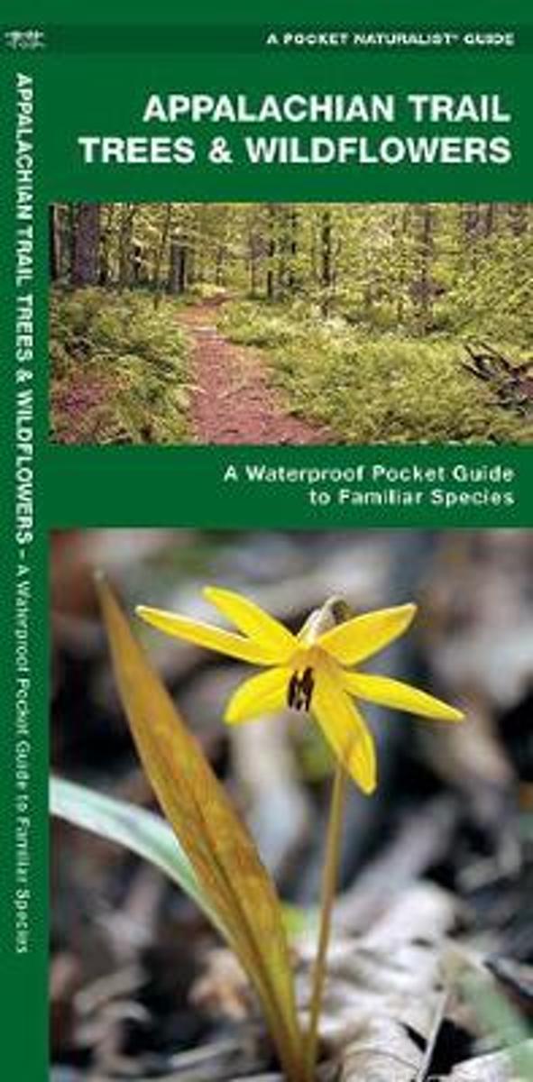
- Appalachian Trail Trees & Wildflowers
- Natural phenomena and vegetation are introduced in this beautifully illustrated guide to the plant life found along the Appalachian Trail. Printed on the same waterproof, rip-proof plastic as the Duraguide line, this Pocket Naturalist Guide is highly durable for use in the field as it provides a portable reference to a variety of common trees,... Read more
- Also available from:
- Bol.com, Belgium
Bol.com
Belgium
Belgium
- Appalachian Trail Trees & Wildflowers
- Natural phenomena and vegetation are introduced in this beautifully illustrated guide to the plant life found along the Appalachian Trail. Printed on the same waterproof, rip-proof plastic as the Duraguide line, this Pocket Naturalist Guide is highly durable for use in the field as it provides a portable reference to a variety of common trees,... Read more
Bol.com
Netherlands
Netherlands
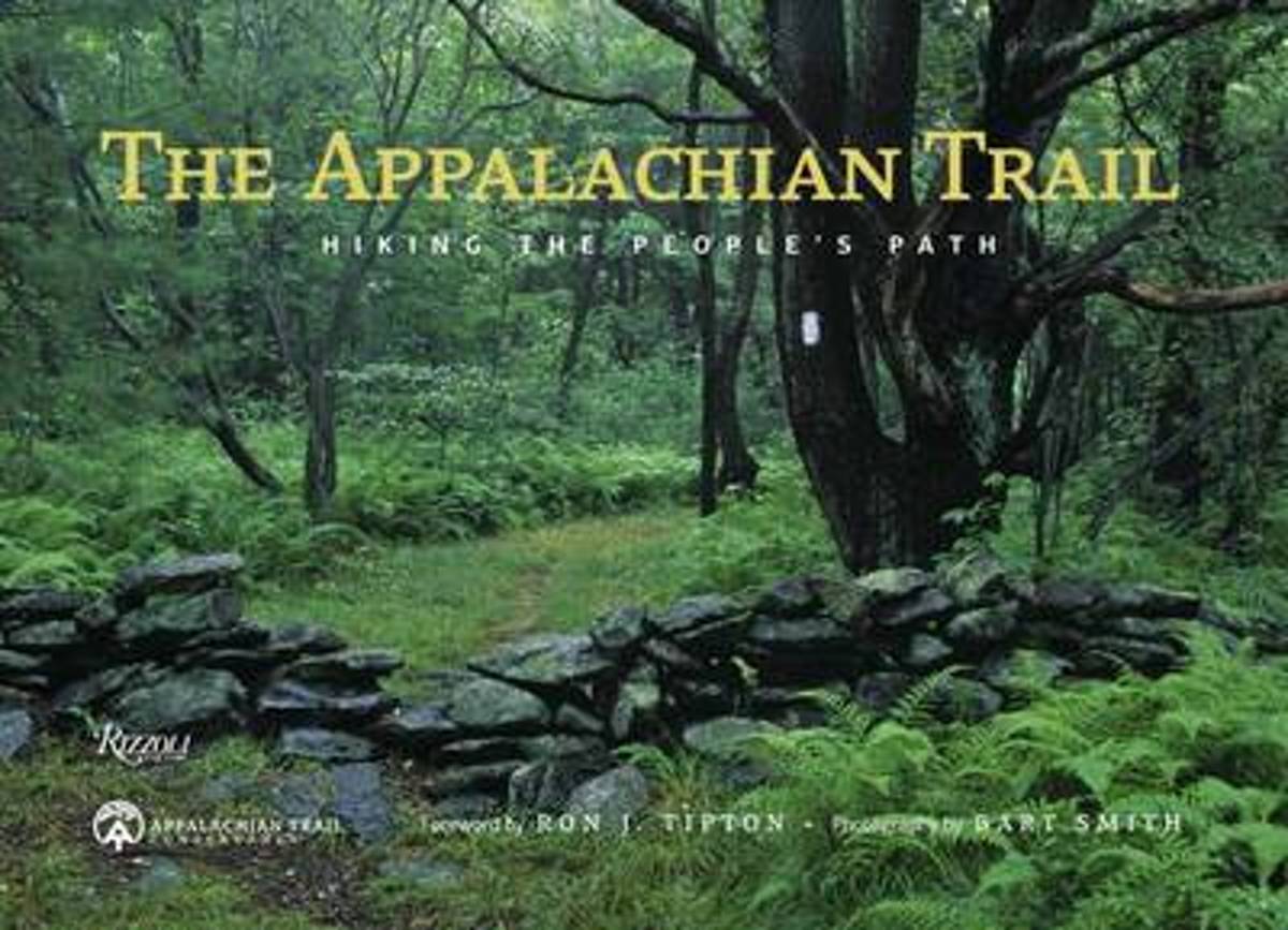
- The Appalachian Trail
- An inspirational photographic tour for anyone who wants to get out onAmerica's most iconic trail—from day hiker to thru-hiker. The Appalachian Trail spans fourteen states from Maine to Georgia and is more than 2,000 miles long. Now, eighty years after its completion, the A.T. remains America's premier hiking trail and is known as "the People's... Read more
- Also available from:
- Bol.com, Belgium
Bol.com
Belgium
Belgium
- The Appalachian Trail
- An inspirational photographic tour for anyone who wants to get out onAmerica's most iconic trail—from day hiker to thru-hiker. The Appalachian Trail spans fourteen states from Maine to Georgia and is more than 2,000 miles long. Now, eighty years after its completion, the A.T. remains America's premier hiking trail and is known as "the People's... Read more
Bol.com
Netherlands
Netherlands
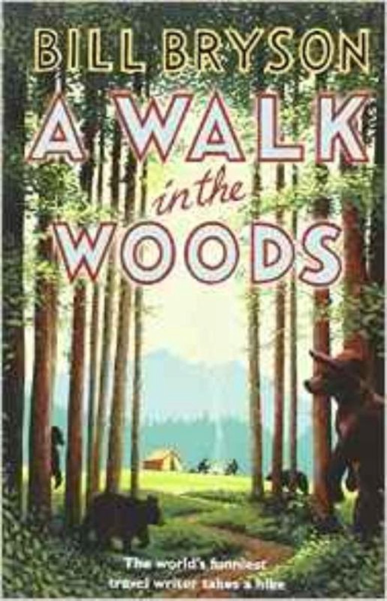
- A Walk in the Woods
- In the company of his friend Stephen Katz (last seen in the bestselling Neither Here nor There), Bill Bryson set off to hike the Appalachian Trail, the longest continuous footpath in the world. Ahead lay almost 2,200 miles of remote mountain wilderness filled with bears, moose, bobcats, rattlesnakes, poisonous plants, disease-bearing tics, the... Read more
- Also available from:
- Bol.com, Belgium
Bol.com
Belgium
Belgium
- A Walk in the Woods
- In the company of his friend Stephen Katz (last seen in the bestselling Neither Here nor There), Bill Bryson set off to hike the Appalachian Trail, the longest continuous footpath in the world. Ahead lay almost 2,200 miles of remote mountain wilderness filled with bears, moose, bobcats, rattlesnakes, poisonous plants, disease-bearing tics, the... Read more
Bol.com
Netherlands
Netherlands
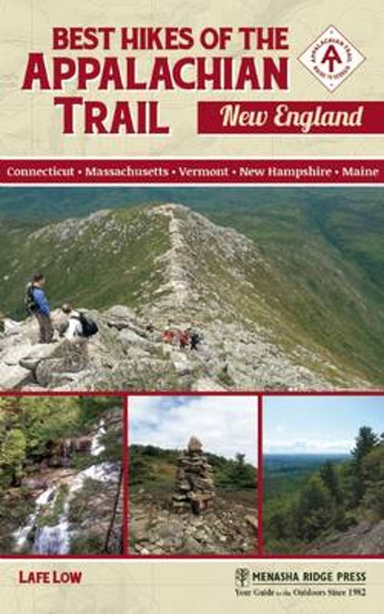
- Best Hikes of the Appalachian Trail
- Spanning from southern Connecticut up to the top of the mighty Katahdin, Best Hikes of the Appalachian Trail: New England by local author Lafe Low is a thorough reference to 45 day hikes on the Appalachian Trail in New England.This is the only guide that specifically covers the best days hikes (suitable for expert hikers to families with kids)... Read more
- Also available from:
- Bol.com, Belgium
Bol.com
Belgium
Belgium
- Best Hikes of the Appalachian Trail
- Spanning from southern Connecticut up to the top of the mighty Katahdin, Best Hikes of the Appalachian Trail: New England by local author Lafe Low is a thorough reference to 45 day hikes on the Appalachian Trail in New England.This is the only guide that specifically covers the best days hikes (suitable for expert hikers to families with kids)... Read more
Bol.com
Netherlands
Netherlands
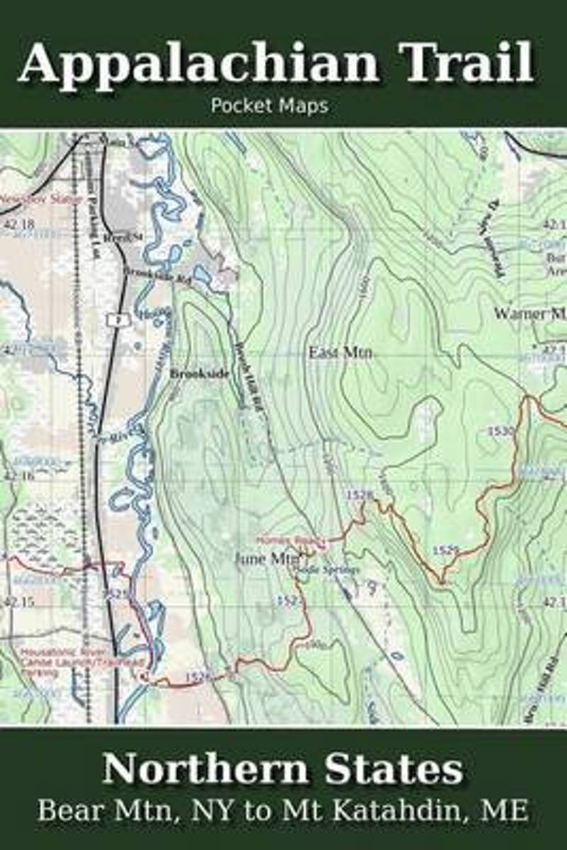
- Appalachian Trail Pocket Maps - Northern States
- Major Update for 2018Northern States - Bear Mtn, NY to Mt. Katahdin, METhe Appalachian Trail Pocket Map Series is a complete and concise set of topographic maps created with digitized base maps covering every step of the 2,180 mile trail from Georgia to Maine.These are not 40 year old scanned USGS topo maps. They are created digitally with the... Read more
- Also available from:
- Bol.com, Belgium
Bol.com
Belgium
Belgium
- Appalachian Trail Pocket Maps - Northern States
- Major Update for 2018Northern States - Bear Mtn, NY to Mt. Katahdin, METhe Appalachian Trail Pocket Map Series is a complete and concise set of topographic maps created with digitized base maps covering every step of the 2,180 mile trail from Georgia to Maine.These are not 40 year old scanned USGS topo maps. They are created digitally with the... Read more
Bol.com
Netherlands
Netherlands
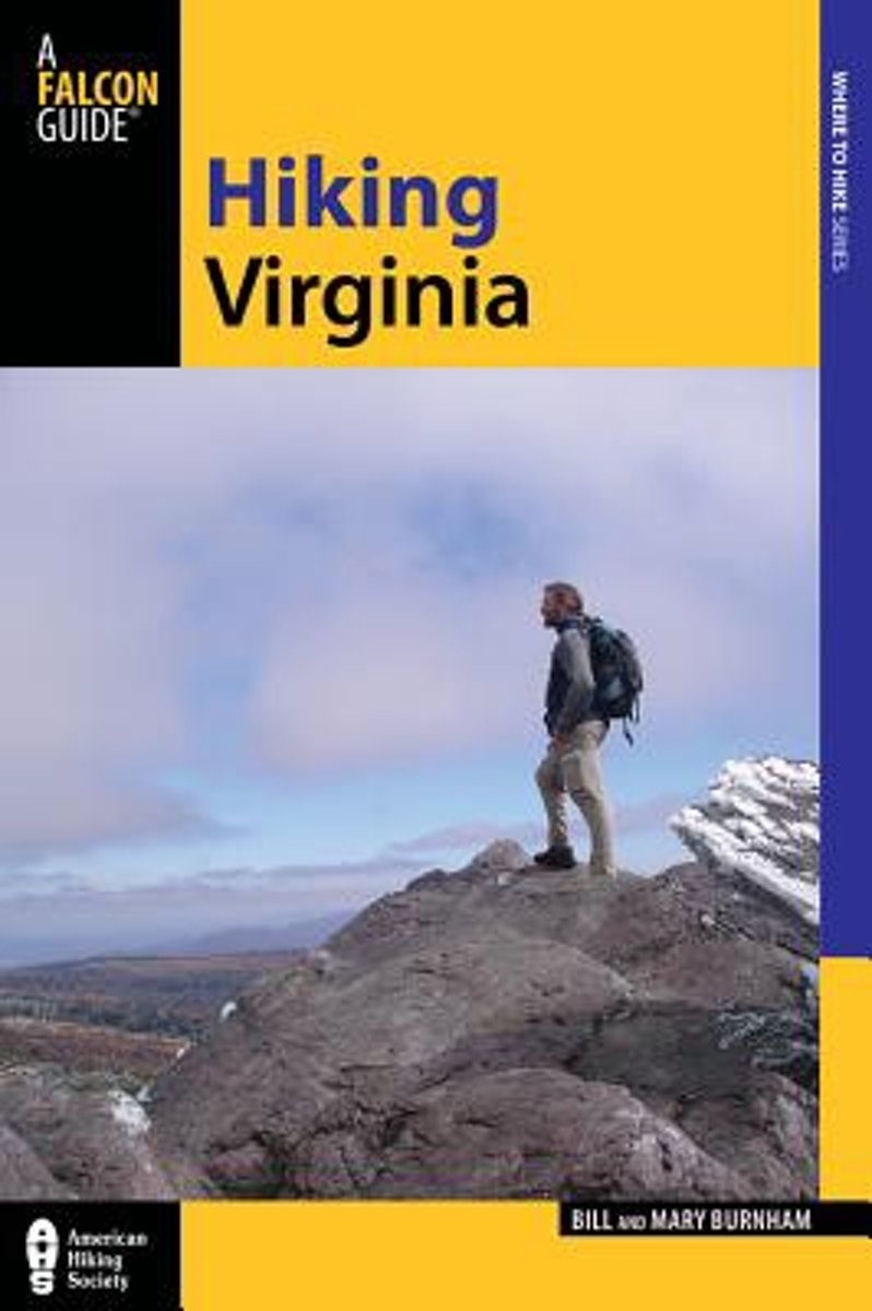
- Hiking Virginia
- Winner of a National Outdoor Book Award Honorable Mention, Hiking Virginia is indispensable for exploring the Commonwealth. Authors Bill and Mary Burnham breath fresh air into popular Virginia destinations, and explore commonly overlooked yet equally dramatic hikes. Explore the history of a young American nation; watch stories of lost cultures... Read more
- Also available from:
- Bol.com, Belgium
Bol.com
Belgium
Belgium
- Hiking Virginia
- Winner of a National Outdoor Book Award Honorable Mention, Hiking Virginia is indispensable for exploring the Commonwealth. Authors Bill and Mary Burnham breath fresh air into popular Virginia destinations, and explore commonly overlooked yet equally dramatic hikes. Explore the history of a young American nation; watch stories of lost cultures... Read more

Bol.com
Netherlands
Netherlands
- Of Moose and Men
- After landing the perfect job, Wellman drives to Maine where she spends five months living off grid, teaching Leave No Trace and confronting both men and moose in hilarious, behind the scene stories of what being a Ridgerunner on the Appalachian Trail really means. Known to the hiking community by her trail name 'Brawny', she has thru hiked the... Read more
- Also available from:
- Bol.com, Belgium
Bol.com
Belgium
Belgium
- Of Moose and Men
- After landing the perfect job, Wellman drives to Maine where she spends five months living off grid, teaching Leave No Trace and confronting both men and moose in hilarious, behind the scene stories of what being a Ridgerunner on the Appalachian Trail really means. Known to the hiking community by her trail name 'Brawny', she has thru hiked the... Read more
Bol.com
Netherlands
Netherlands
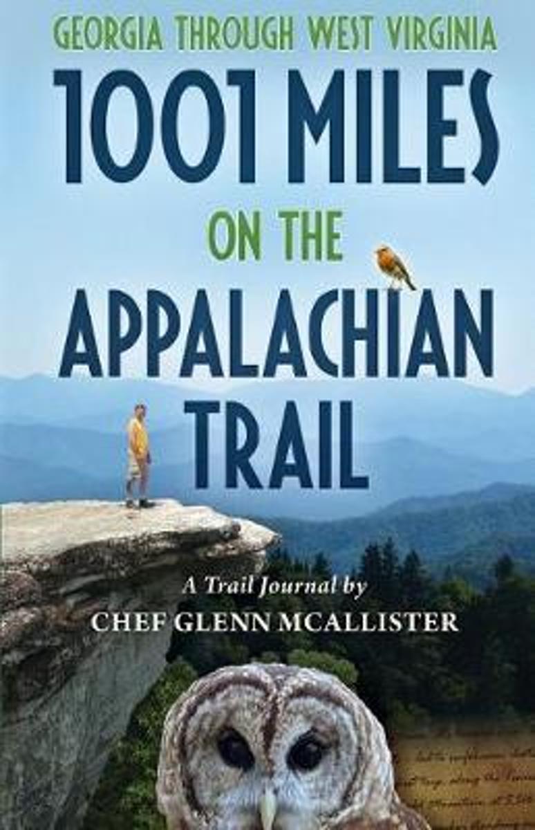
- 1001 Miles on the Appalachian Trail
- Join Chef Glenn McAllister on his Appalachian Trail adventures, covering 1001 miles of rugged footpath, inspirational mountaintops, and unbounded nature. Glenns eloquently written journal entries paint vivid pictures of the wildness of the AT, the fascinating variety of characters he met along the way, and the unexpected love story that... Read more
- Also available from:
- Bol.com, Belgium
- The Book Depository, United Kingdom
Bol.com
Belgium
Belgium
- 1001 Miles on the Appalachian Trail
- Join Chef Glenn McAllister on his Appalachian Trail adventures, covering 1001 miles of rugged footpath, inspirational mountaintops, and unbounded nature. Glenns eloquently written journal entries paint vivid pictures of the wildness of the AT, the fascinating variety of characters he met along the way, and the unexpected love story that... Read more

Bol.com
Netherlands
Netherlands
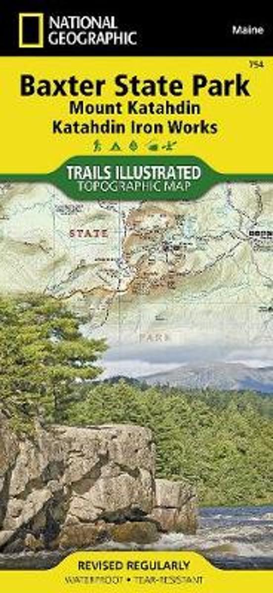
- Baxter State Park/mount Katahdin
- Waterproof Tear-Resistant Topographic MapBAXTER STATE PARK / Mount Katahdin Trails Illustrated MapNational Geographic's recreational map of Baxter State Park / Mount Katahdin is a two-sided, waterproofmap designed to meet the needs of outdoor enthusiasts with unmatched durability and detail. Loadedwith valuable information about hiking,... Read more
- Also available from:
- Bol.com, Belgium
- The Book Depository, United Kingdom
Bol.com
Belgium
Belgium
- Baxter State Park/mount Katahdin
- Waterproof Tear-Resistant Topographic MapBAXTER STATE PARK / Mount Katahdin Trails Illustrated MapNational Geographic's recreational map of Baxter State Park / Mount Katahdin is a two-sided, waterproofmap designed to meet the needs of outdoor enthusiasts with unmatched durability and detail. Loadedwith valuable information about hiking,... Read more

The Book Depository
United Kingdom
United Kingdom
- Baxter State Park/mount Katahdin
- Trails Illustrated Other Rec. Areas Read more

Bol.com
Netherlands
Netherlands
- A Walk in the Woods
- A wry account by the author of The Life and Times of the Thunderbolt Kid traces an adventurous and arduous trek past the Appalachian Trail's natural pleasures, human eccentrics, and offbeat comforts. Reprint. Read more
- Also available from:
- Bol.com, Belgium
Bol.com
Belgium
Belgium
- A Walk in the Woods
- A wry account by the author of The Life and Times of the Thunderbolt Kid traces an adventurous and arduous trek past the Appalachian Trail's natural pleasures, human eccentrics, and offbeat comforts. Reprint. Read more
Bol.com
Netherlands
Netherlands
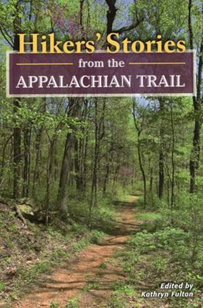
- Hikers' Stories from the Appalachian Trail
- Collection of highlights from twenty-one Appalachian Trail blogs. Read more
- Also available from:
- Bol.com, Belgium
- The Book Depository, United Kingdom
Bol.com
Belgium
Belgium
- Hikers' Stories from the Appalachian Trail
- Collection of highlights from twenty-one Appalachian Trail blogs. Read more

Kaarten

Bol.com
Netherlands
Netherlands
- Springer & Cohutta Mountains, Chattahoochee National Forest
- Waterproof Tear-Resistant Topographic MapLocated just north of Atlanta, the Chattahoochee National Forest contains the southern terminus of the Appalachian Trail along with an abundance of recreational opportunities for outdoor enthusiasts of all interests.This detailed recreation map contains carefully researched trails, campsites,... Read more
- Also available from:
- Bol.com, Belgium
- Stanfords, United Kingdom
Bol.com
Belgium
Belgium
- Springer & Cohutta Mountains, Chattahoochee National Forest
- Waterproof Tear-Resistant Topographic MapLocated just north of Atlanta, the Chattahoochee National Forest contains the southern terminus of the Appalachian Trail along with an abundance of recreational opportunities for outdoor enthusiasts of all interests.This detailed recreation map contains carefully researched trails, campsites,... Read more

Stanfords
United Kingdom
United Kingdom
- Chattahoochee National Forest - Springer and Cohutta Mountains GA/SC 777
- Map No. 777, Chattahoochee National Forest: Springer and Cohutta Mountains, GA/SC, in an extensive series of GPS compatible, contoured hiking maps of USA’s national and state parks or forests and other popular recreational areas. Cartography based on the national topographic survey, with additional tourist information.The maps, with most titles... Read more

De Zwerver
Netherlands
Netherlands
- Wandelkaart - Topografische kaart 318 Mount Rogers High Country - Grayson Highlands State Park | National Geographic
- Prachtige geplastificeerde kaart van het bekende nationaal park. Met alle recreatieve voorzieningen als campsites, maar ook met topografische details en wandelroutes ed. Door uitgekiend kleurgebruik zeer prettig in gebruik. Scheur en watervast! National Geographic's Trails Illustrated map of Mount Rogers High Country and Grayson Highlands... Read more
- Also available from:
- Bol.com, Netherlands
- Bol.com, Belgium
- Stanfords, United Kingdom
- The Book Depository, United Kingdom

Bol.com
Netherlands
Netherlands
- Mount Rogers High Country
- Waterproof Tear-Resistant Topographic MapNational Geographic's Trails Illustrated map of Mount Rogers High Country and Grayson Highlands State Park, Southwest Virginia, is a two-sided, waterproof, topographic trail map designed to meet the needs of outdoor enthusiasts with unmatched durability and detail. This map was created in... Read more
Bol.com
Belgium
Belgium
- Mount Rogers High Country
- Waterproof Tear-Resistant Topographic MapNational Geographic's Trails Illustrated map of Mount Rogers High Country and Grayson Highlands State Park, Southwest Virginia, is a two-sided, waterproof, topographic trail map designed to meet the needs of outdoor enthusiasts with unmatched durability and detail. This map was created in... Read more

Stanfords
United Kingdom
United Kingdom
- Mount Rogers High Country VA
- Map No. 318 - Mount Rogers High Country in Virginia in an extensive series of GPS compatible, contoured hiking maps of USA’s national and state parks or forests and other popular recreational areas. Cartography based on the national topographic survey, with additional tourist information.The maps, with most titles now printed on light,... Read more

The Book Depository
United Kingdom
United Kingdom
- Mount Rogers High Country
- Trails Illustrated Other Rec. Areas Read more

De Zwerver
Netherlands
Netherlands
- Wandelkaart - Topografische kaart 747 Green Mountain National Forest North - Moosalamoo NRA - Rutland | National Geographic
- Prachtige geplastificeerde kaart van het bekende nationaal park. Met alle recreatieve voorzieningen als campsites, maar ook met topografische details en wandelroutes ed. Door uitgekiend kleurgebruik zeer prettig in gebruik. Scheur en watervast! National Geographic's Green Mountain National Forest North Trails Illustrated topographic map is... Read more
- Also available from:
- Bol.com, Netherlands
- Bol.com, Belgium
- Stanfords, United Kingdom
- The Book Depository, United Kingdom

Bol.com
Netherlands
Netherlands
- Green Mountains N.F., Moosalamoo NRA/Rutland
- Waterproof Tear-Resistant Topographic MapNational Geographic's Green Mountain National Forest North Trails Illustrated topographic map is the most comprehensive available for outdoor enthusiasts of all types. Designed to be easy-to-read, yet highly detailed this map includes a comprehensive road and trail network distinguishing between... Read more
Bol.com
Belgium
Belgium
- Green Mountains N.F., Moosalamoo NRA/Rutland
- Waterproof Tear-Resistant Topographic MapNational Geographic's Green Mountain National Forest North Trails Illustrated topographic map is the most comprehensive available for outdoor enthusiasts of all types. Designed to be easy-to-read, yet highly detailed this map includes a comprehensive road and trail network distinguishing between... Read more

Stanfords
United Kingdom
United Kingdom
- Green Mountain National Forest - Moosalamoo NRA - Rutland VT
- Map No. 747, Green Mountain National Forest: Moosalamoo NRA - Rutland area in Vermont, in an extensive series of GPS compatible, contoured hiking maps of USA’s national and state parks or forests and other popular recreational areas. Cartography based on the national topographic survey, with additional tourist information.The maps, with most... Read more

The Book Depository
United Kingdom
United Kingdom
- Green Mountains N.f., Moosalamoo Nra/rutland
- Trails Illustrated Other Rec. Areas Read more

De Zwerver
Netherlands
Netherlands
- Wandelkaart - Topografische kaart 316 Cades Cove - Elkmont - Great Smoky Mountains National Park | National Geographic
- Prachtige geplastificeerde kaart van het bekende nationaal park. Met alle recreatieve voorzieningen als campsites, maar ook met topografische details en wandelroutes ed. Door uitgekiend kleurgebruik zeer prettig in gebruik. Scheur en watervast! This title provides an increased scale of one of the most visited National Parks in the US, and one... Read more
- Also available from:
- Bol.com, Netherlands
- Bol.com, Belgium
- Stanfords, United Kingdom

Bol.com
Netherlands
Netherlands
- Cades Cove/elkmont, Great Smoky Mountains National Park
- Waterproof Tear-Resistant Topographic MapThis title provides an increased scale of one of the most visited National Parks in the US, and one of our more popular map titles. This increased scale will provide greater detail to the backcountry users and Appalachian Trail through-hikers.Park Introduction:Great Smoky Mountains National Park is... Read more
Bol.com
Belgium
Belgium
- Cades Cove/elkmont, Great Smoky Mountains National Park
- Waterproof Tear-Resistant Topographic MapThis title provides an increased scale of one of the most visited National Parks in the US, and one of our more popular map titles. This increased scale will provide greater detail to the backcountry users and Appalachian Trail through-hikers.Park Introduction:Great Smoky Mountains National Park is... Read more

Stanfords
United Kingdom
United Kingdom
- Cades Cove - Elkmont - Great Smoky Mountains National Park NC/TN
- Map No. 316, Great Smoky Mountains National Park: Cades Cove - Elkmont, NC/TN, in an extensive series of GPS compatible, contoured hiking maps of USA’s national and state parks or forests and other popular recreational areas. Cartography based on the national topographic survey, with additional tourist information.The maps, with most titles now... Read more