
Chattahoochee National Forest
Beschrijving
Paden in deze regio
Links
Feiten
Verslagen
Gidsen en kaarten
Overnachting
Organisaties
Reisorganisaties
GPS
Anders
Boeken

De Zwerver
Netherlands
Netherlands

De Zwerver
Netherlands
2018
Netherlands
2018
- Wandelgids USA: Appalachian Trail | Conrad Stein Verlag
- Handzame overzichtsgids van deze geweldige en uitdagende lange afstands wandeling in het oosten van de USA: de Appalachian Trail. Het is een ideale gids om de hele tocht voor te bereiden en als basisgids bij je te hebben. Goede beschrijvingen van etappes en veel praktische informatie. Het enige wat mager is zijn dekaarten: goed voor overzicht... Read more


Bol.com
Netherlands
Netherlands
- Appalachian Trials
- "I really loved it...Appalachian Trials is full of specific tactical tips for mental preparation, which is key well beyond the AT." - Tim Ferriss, author of New York Times Best Selling The 4-Hour Workweek and The 4-Hour Body Each year, it is estimated that more than 2,000 people set out to thru-hike the Appalachian Trail, yet seven in ten... Read more
- Also available from:
- Bol.com, Belgium
- The Book Depository, United Kingdom
Bol.com
Belgium
Belgium
- Appalachian Trials
- "I really loved it...Appalachian Trials is full of specific tactical tips for mental preparation, which is key well beyond the AT." - Tim Ferriss, author of New York Times Best Selling The 4-Hour Workweek and The 4-Hour Body Each year, it is estimated that more than 2,000 people set out to thru-hike the Appalachian Trail, yet seven in ten... Read more

The Book Depository
United Kingdom
United Kingdom
- Appalachian Trials
- A Psychological and Emotional Guide To Thru-Hike the Appalachian Trail Read more
Bol.com
Netherlands
Netherlands
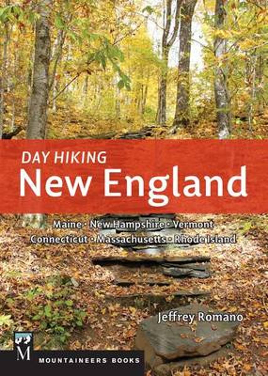
- Day Hiking New England
- *CLICK HERE to download sample hikes from Day Hiking New England* *Provides difficulty ratings, hike distances, GPS coordinates, elevation gains, permitting information, and more *115 routes including many loops *Doesn't overlap with the author's 100 Classics Hikes: New England together the two guides capture more than 200 unique hiking... Read more
- Also available from:
- Bol.com, Belgium
- The Book Depository, United Kingdom
Bol.com
Belgium
Belgium
- Day Hiking New England
- *CLICK HERE to download sample hikes from Day Hiking New England* *Provides difficulty ratings, hike distances, GPS coordinates, elevation gains, permitting information, and more *115 routes including many loops *Doesn't overlap with the author's 100 Classics Hikes: New England together the two guides capture more than 200 unique hiking... Read more

The Book Depository
United Kingdom
United Kingdom
- Day Hiking New England
- Maine, New Hampshire, Vermont, Connecticut, Massachusetts. Rhode Island Read more
- Also available from:
- Bol.com, Belgium

Bol.com
Netherlands
Netherlands
- Appalachian Trail Guide to Tennessee-North Carolina
- The official guide to 302 miles of the Appalachian Trail, from Damascus, Va., near the Tennessee line south to the southern end of the Great Smoky Mountains National Park at Fontana Dam, N.C. The six detached maps (three sheets) included in the packet are water- and tear-resistant in seven colors at a scale of an inch to a mile, with elevation... Read more
- Also available from:
- Bol.com, Belgium
Bol.com
Belgium
Belgium
- Appalachian Trail Guide to Tennessee-North Carolina
- The official guide to 302 miles of the Appalachian Trail, from Damascus, Va., near the Tennessee line south to the southern end of the Great Smoky Mountains National Park at Fontana Dam, N.C. The six detached maps (three sheets) included in the packet are water- and tear-resistant in seven colors at a scale of an inch to a mile, with elevation... Read more
Bol.com
Netherlands
Netherlands
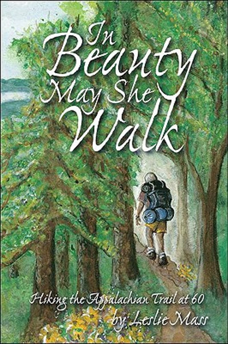
- In Beauty May She Walk
- In 2000, inspired by her father, Leslie Mass decided she would turn a lifelong fantasy into reality.At the age of 59, she began to train for a grueling journey, a thru-hike of the 2,000-mile Appalachian Trail. [i]In Beauty May She Walk[/i] chronicles Leslie's struggles and triumphs during her hike. On the trail, Leslie struggles with how to... Read more
- Also available from:
- Bol.com, Belgium
Bol.com
Belgium
Belgium
- In Beauty May She Walk
- In 2000, inspired by her father, Leslie Mass decided she would turn a lifelong fantasy into reality.At the age of 59, she began to train for a grueling journey, a thru-hike of the 2,000-mile Appalachian Trail. [i]In Beauty May She Walk[/i] chronicles Leslie's struggles and triumphs during her hike. On the trail, Leslie struggles with how to... Read more
Bol.com
Netherlands
Netherlands
- NEW ENGLAND (ROUGH GUIDE 1ed, 1999)---> see new ed
- The Rough Guide to New England is the ultimate travel guide to this compellingly historic region, packed with comprehensive coverage of every attraction. Honest, accurate reviews, detailed practical information, new top 5 lists, insider tips and illuminating photographs throughout will ensure that your visit is a truly memorable one.Discover... Read more
- Also available from:
- Bol.com, Belgium
Bol.com
Belgium
Belgium
- NEW ENGLAND (ROUGH GUIDE 1ed, 1999)---> see new ed
- The Rough Guide to New England is the ultimate travel guide to this compellingly historic region, packed with comprehensive coverage of every attraction. Honest, accurate reviews, detailed practical information, new top 5 lists, insider tips and illuminating photographs throughout will ensure that your visit is a truly memorable one.Discover... Read more

Bol.com
Netherlands
Netherlands
- Walkin' on the Happy Side of Misery
- Recollections of grueling climbs, knee-wrecking descents, mountaintop thunderstorms, snakes underfoot, and the myriad characters encountered on an AT thru-hike. Read more
- Also available from:
- Bol.com, Belgium
- The Book Depository, United Kingdom
Bol.com
Belgium
Belgium
- Walkin' on the Happy Side of Misery
- Recollections of grueling climbs, knee-wrecking descents, mountaintop thunderstorms, snakes underfoot, and the myriad characters encountered on an AT thru-hike. Read more

The Book Depository
United Kingdom
United Kingdom
- Walkin' on the Happy Side of Misery
- A Slice of Life on the Appalachian Trail Read more

Bol.com
Netherlands
Netherlands
- Painted Blazes
- We needed some adventure - in our adventure!Only vaguely aware long distance hiking trails crisscrossed the country, a chance meeting led to Jeff's discovery of the Appalachian Trail. Who could have ever guessed that during his journey, Loner, as hes become known in hiker circles, would be bitten by a dog (and a lobster), happen upon a plane... Read more
- Also available from:
- Bol.com, Belgium
Bol.com
Belgium
Belgium
- Painted Blazes
- We needed some adventure - in our adventure!Only vaguely aware long distance hiking trails crisscrossed the country, a chance meeting led to Jeff's discovery of the Appalachian Trail. Who could have ever guessed that during his journey, Loner, as hes become known in hiker circles, would be bitten by a dog (and a lobster), happen upon a plane... Read more

Bol.com
Netherlands
Netherlands
- Remember the Carrot
- After realizing that his life had lost its savor, Aaron dares to season it with adventure on the Appalachian Trail, where serendipity and toil would weave a path of self-discovery, a change of world view, and delightful (and some odd) characters and turns of events.Step into Aaron's boots for 2,167 miles of peaks and valleys-physically,... Read more
- Also available from:
- Bol.com, Belgium
- The Book Depository, United Kingdom
Bol.com
Belgium
Belgium
- Remember the Carrot
- After realizing that his life had lost its savor, Aaron dares to season it with adventure on the Appalachian Trail, where serendipity and toil would weave a path of self-discovery, a change of world view, and delightful (and some odd) characters and turns of events.Step into Aaron's boots for 2,167 miles of peaks and valleys-physically,... Read more

The Book Depository
United Kingdom
United Kingdom
- Remember The Carrot
- A Change Of Pace On The Appalachian Trail Read more
Bol.com
Netherlands
Netherlands
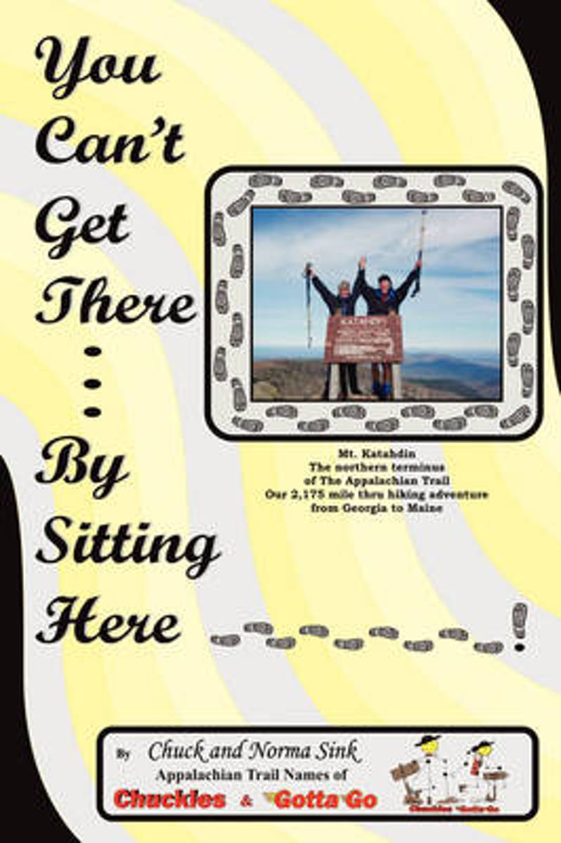
- You Can't Get There... By Sitting Here
- This is an entertaining story of a normal couple, almost normal couple, who fulfilled their lifetime dream of hiking the Appalachian Trail. We started March 1st at Springer Mountain near Dahlonega, Georgia hiking through fourteen states to finish the trail and attain the designation of "ThruHiker" atop Mt. Katahdin near Millinocket, Maine on... Read more
- Also available from:
- Bol.com, Belgium
Bol.com
Belgium
Belgium
- You Can't Get There... By Sitting Here
- This is an entertaining story of a normal couple, almost normal couple, who fulfilled their lifetime dream of hiking the Appalachian Trail. We started March 1st at Springer Mountain near Dahlonega, Georgia hiking through fourteen states to finish the trail and attain the designation of "ThruHiker" atop Mt. Katahdin near Millinocket, Maine on... Read more
De Zwerver
Netherlands
Netherlands
- Also available from:
- Bol.com, Netherlands
- Bol.com, Belgium
Bol.com
Netherlands
Netherlands
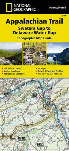
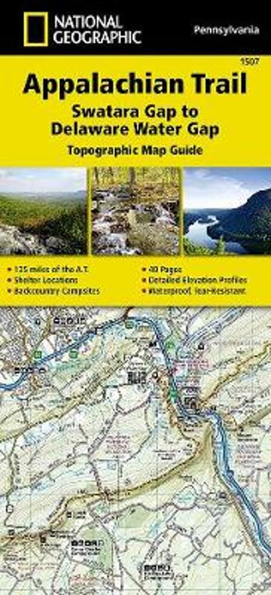
- Appalachian Trail, Swatara Gap To Delaware Water Gap, Pennsylvania
- Waterproof Tear-Resistant Topographic Map GuideThe Swatara Gap to Delaware Water Gap Topographic Map Guide makes a perfect traveling companion when traversing the northeastern Pennsylvania section of the Appalachian Trail (A.T.). The trail in this section of Pennsylvania primarily travels across flat, rocky ridges mixed with strenuous... Read more
Bol.com
Belgium
Belgium
- Appalachian Trail, Swatara Gap To Delaware Water Gap, Pennsylvania
- Waterproof Tear-Resistant Topographic Map GuideThe Swatara Gap to Delaware Water Gap Topographic Map Guide makes a perfect traveling companion when traversing the northeastern Pennsylvania section of the Appalachian Trail (A.T.). The trail in this section of Pennsylvania primarily travels across flat, rocky ridges mixed with strenuous... Read more
Bol.com
Netherlands
Netherlands
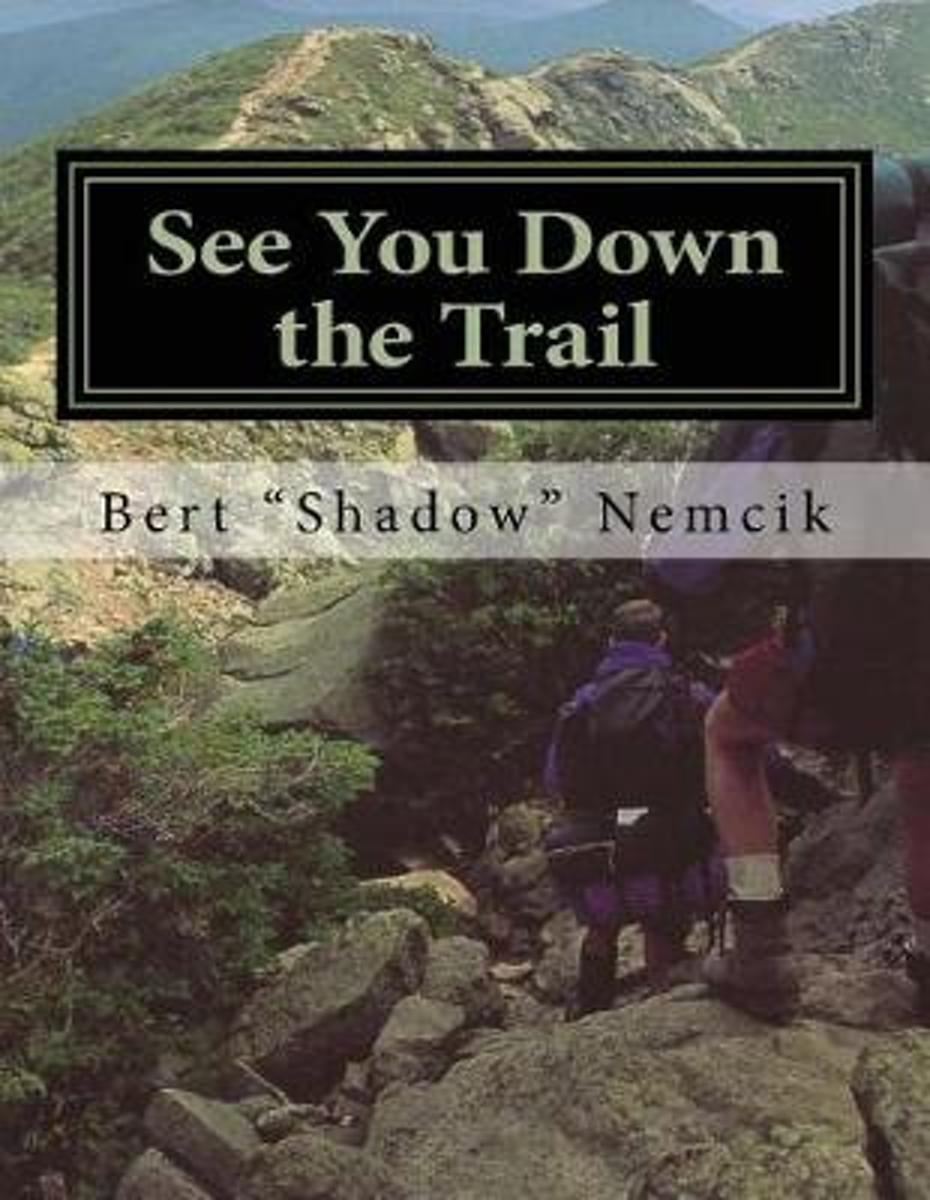
- See You Down the Trail
- In 1995, I rode my bicycle across America from Oregon to New Jersey. It took me 31 days and I traveled more than 3,250 miles. When I returned home, many friends and neighbors asked me if I were going to write about my adventure. For a few years, I resisted doing so until I felt the experience was far enough removed from the present to be... Read more
- Also available from:
- Bol.com, Belgium
Bol.com
Belgium
Belgium
- See You Down the Trail
- In 1995, I rode my bicycle across America from Oregon to New Jersey. It took me 31 days and I traveled more than 3,250 miles. When I returned home, many friends and neighbors asked me if I were going to write about my adventure. For a few years, I resisted doing so until I felt the experience was far enough removed from the present to be... Read more
Kaarten

Bol.com
Netherlands
Netherlands
- Springer & Cohutta Mountains, Chattahoochee National Forest
- Waterproof Tear-Resistant Topographic MapLocated just north of Atlanta, the Chattahoochee National Forest contains the southern terminus of the Appalachian Trail along with an abundance of recreational opportunities for outdoor enthusiasts of all interests.This detailed recreation map contains carefully researched trails, campsites,... Read more
- Also available from:
- Bol.com, Belgium
- Stanfords, United Kingdom
Bol.com
Belgium
Belgium
- Springer & Cohutta Mountains, Chattahoochee National Forest
- Waterproof Tear-Resistant Topographic MapLocated just north of Atlanta, the Chattahoochee National Forest contains the southern terminus of the Appalachian Trail along with an abundance of recreational opportunities for outdoor enthusiasts of all interests.This detailed recreation map contains carefully researched trails, campsites,... Read more

Stanfords
United Kingdom
United Kingdom
- Chattahoochee National Forest - Springer and Cohutta Mountains GA/SC 777
- Map No. 777, Chattahoochee National Forest: Springer and Cohutta Mountains, GA/SC, in an extensive series of GPS compatible, contoured hiking maps of USA’s national and state parks or forests and other popular recreational areas. Cartography based on the national topographic survey, with additional tourist information.The maps, with most titles... Read more

De Zwerver
Netherlands
Netherlands
- Wandelkaart - Topografische kaart 318 Mount Rogers High Country - Grayson Highlands State Park | National Geographic
- Prachtige geplastificeerde kaart van het bekende nationaal park. Met alle recreatieve voorzieningen als campsites, maar ook met topografische details en wandelroutes ed. Door uitgekiend kleurgebruik zeer prettig in gebruik. Scheur en watervast! National Geographic's Trails Illustrated map of Mount Rogers High Country and Grayson Highlands... Read more
- Also available from:
- Bol.com, Netherlands
- Bol.com, Belgium
- Stanfords, United Kingdom
- The Book Depository, United Kingdom

Bol.com
Netherlands
Netherlands
- Mount Rogers High Country
- Waterproof Tear-Resistant Topographic MapNational Geographic's Trails Illustrated map of Mount Rogers High Country and Grayson Highlands State Park, Southwest Virginia, is a two-sided, waterproof, topographic trail map designed to meet the needs of outdoor enthusiasts with unmatched durability and detail. This map was created in... Read more
Bol.com
Belgium
Belgium
- Mount Rogers High Country
- Waterproof Tear-Resistant Topographic MapNational Geographic's Trails Illustrated map of Mount Rogers High Country and Grayson Highlands State Park, Southwest Virginia, is a two-sided, waterproof, topographic trail map designed to meet the needs of outdoor enthusiasts with unmatched durability and detail. This map was created in... Read more

Stanfords
United Kingdom
United Kingdom
- Mount Rogers High Country VA
- Map No. 318 - Mount Rogers High Country in Virginia in an extensive series of GPS compatible, contoured hiking maps of USA’s national and state parks or forests and other popular recreational areas. Cartography based on the national topographic survey, with additional tourist information.The maps, with most titles now printed on light,... Read more

The Book Depository
United Kingdom
United Kingdom
- Mount Rogers High Country
- Trails Illustrated Other Rec. Areas Read more

De Zwerver
Netherlands
Netherlands
- Wandelkaart - Topografische kaart 747 Green Mountain National Forest North - Moosalamoo NRA - Rutland | National Geographic
- Prachtige geplastificeerde kaart van het bekende nationaal park. Met alle recreatieve voorzieningen als campsites, maar ook met topografische details en wandelroutes ed. Door uitgekiend kleurgebruik zeer prettig in gebruik. Scheur en watervast! National Geographic's Green Mountain National Forest North Trails Illustrated topographic map is... Read more
- Also available from:
- Bol.com, Netherlands
- Bol.com, Belgium
- Stanfords, United Kingdom
- The Book Depository, United Kingdom

Bol.com
Netherlands
Netherlands
- Green Mountains N.F., Moosalamoo NRA/Rutland
- Waterproof Tear-Resistant Topographic MapNational Geographic's Green Mountain National Forest North Trails Illustrated topographic map is the most comprehensive available for outdoor enthusiasts of all types. Designed to be easy-to-read, yet highly detailed this map includes a comprehensive road and trail network distinguishing between... Read more
Bol.com
Belgium
Belgium
- Green Mountains N.F., Moosalamoo NRA/Rutland
- Waterproof Tear-Resistant Topographic MapNational Geographic's Green Mountain National Forest North Trails Illustrated topographic map is the most comprehensive available for outdoor enthusiasts of all types. Designed to be easy-to-read, yet highly detailed this map includes a comprehensive road and trail network distinguishing between... Read more

Stanfords
United Kingdom
United Kingdom
- Green Mountain National Forest - Moosalamoo NRA - Rutland VT
- Map No. 747, Green Mountain National Forest: Moosalamoo NRA - Rutland area in Vermont, in an extensive series of GPS compatible, contoured hiking maps of USA’s national and state parks or forests and other popular recreational areas. Cartography based on the national topographic survey, with additional tourist information.The maps, with most... Read more

The Book Depository
United Kingdom
United Kingdom
- Green Mountains N.f., Moosalamoo Nra/rutland
- Trails Illustrated Other Rec. Areas Read more

De Zwerver
Netherlands
Netherlands
- Wandelkaart - Topografische kaart 316 Cades Cove - Elkmont - Great Smoky Mountains National Park | National Geographic
- Prachtige geplastificeerde kaart van het bekende nationaal park. Met alle recreatieve voorzieningen als campsites, maar ook met topografische details en wandelroutes ed. Door uitgekiend kleurgebruik zeer prettig in gebruik. Scheur en watervast! This title provides an increased scale of one of the most visited National Parks in the US, and one... Read more
- Also available from:
- Bol.com, Netherlands
- Bol.com, Belgium
- Stanfords, United Kingdom

Bol.com
Netherlands
Netherlands
- Cades Cove/elkmont, Great Smoky Mountains National Park
- Waterproof Tear-Resistant Topographic MapThis title provides an increased scale of one of the most visited National Parks in the US, and one of our more popular map titles. This increased scale will provide greater detail to the backcountry users and Appalachian Trail through-hikers.Park Introduction:Great Smoky Mountains National Park is... Read more
Bol.com
Belgium
Belgium
- Cades Cove/elkmont, Great Smoky Mountains National Park
- Waterproof Tear-Resistant Topographic MapThis title provides an increased scale of one of the most visited National Parks in the US, and one of our more popular map titles. This increased scale will provide greater detail to the backcountry users and Appalachian Trail through-hikers.Park Introduction:Great Smoky Mountains National Park is... Read more

Stanfords
United Kingdom
United Kingdom
- Cades Cove - Elkmont - Great Smoky Mountains National Park NC/TN
- Map No. 316, Great Smoky Mountains National Park: Cades Cove - Elkmont, NC/TN, in an extensive series of GPS compatible, contoured hiking maps of USA’s national and state parks or forests and other popular recreational areas. Cartography based on the national topographic survey, with additional tourist information.The maps, with most titles now... Read more