
Cherokee National Forest
Beschrijving
Paden in deze regio
Links
Feiten
Verslagen
Gidsen en kaarten
Overnachting
Organisaties
Reisorganisaties
GPS
Anders
Boeken

De Zwerver
Netherlands
Netherlands

De Zwerver
Netherlands
2018
Netherlands
2018
- Wandelgids USA: Appalachian Trail | Conrad Stein Verlag
- Handzame overzichtsgids van deze geweldige en uitdagende lange afstands wandeling in het oosten van de USA: de Appalachian Trail. Het is een ideale gids om de hele tocht voor te bereiden en als basisgids bij je te hebben. Goede beschrijvingen van etappes en veel praktische informatie. Het enige wat mager is zijn dekaarten: goed voor overzicht... Read more

Bol.com
Netherlands
Netherlands
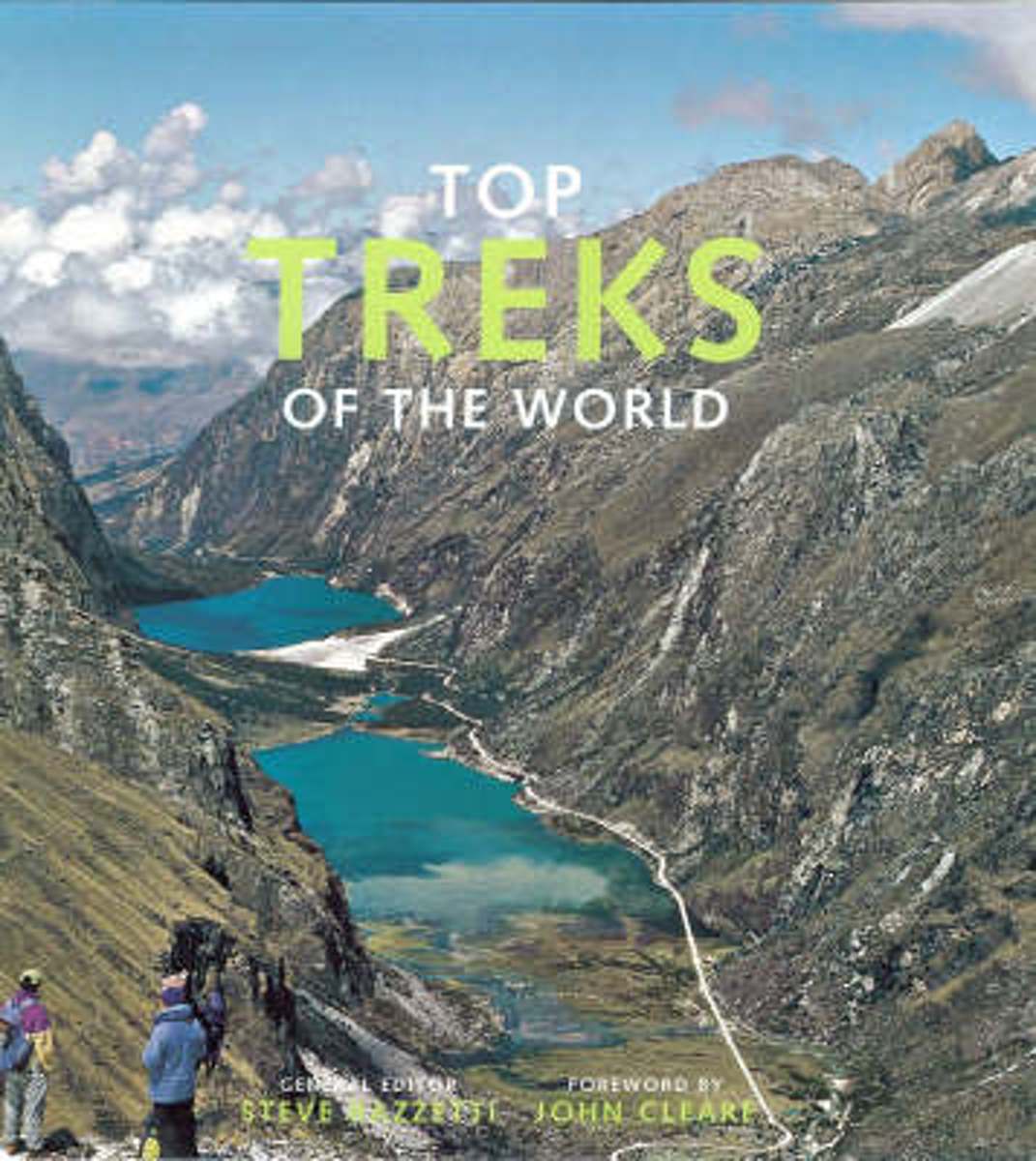
- Top Treks of the World
- Top Treks of the World is a beautifully illustrated, inspirational guide to the best long walks in the world. It uses wonderful mountain and wilderness photography to cover 29 of the best treks in the world, each piece written by an expert on the route. A trek is a walk that takes people away from civilization into a place they could not reach... Read more
- Also available from:
- Bol.com, Belgium
Bol.com
Belgium
Belgium
- Top Treks of the World
- Top Treks of the World is a beautifully illustrated, inspirational guide to the best long walks in the world. It uses wonderful mountain and wilderness photography to cover 29 of the best treks in the world, each piece written by an expert on the route. A trek is a walk that takes people away from civilization into a place they could not reach... Read more

Bol.com
Netherlands
Netherlands
- My Appalachian Trial I
- Steve Adams, a retired, overweight, 61-year-old Brit, who had never hiked in his life, decided one day that he wanted an adventure. Not willing to settle for just any old adventure, he decided to hike the entire length of Americas Appalachian Trail, a beguiling attraction for many hikers, both home-grown and from all corners of the globe.... Read more
- Also available from:
- Bol.com, Belgium
- The Book Depository, United Kingdom
Bol.com
Belgium
Belgium
- My Appalachian Trial I
- Steve Adams, a retired, overweight, 61-year-old Brit, who had never hiked in his life, decided one day that he wanted an adventure. Not willing to settle for just any old adventure, he decided to hike the entire length of Americas Appalachian Trail, a beguiling attraction for many hikers, both home-grown and from all corners of the globe.... Read more

Bol.com
Netherlands
Netherlands
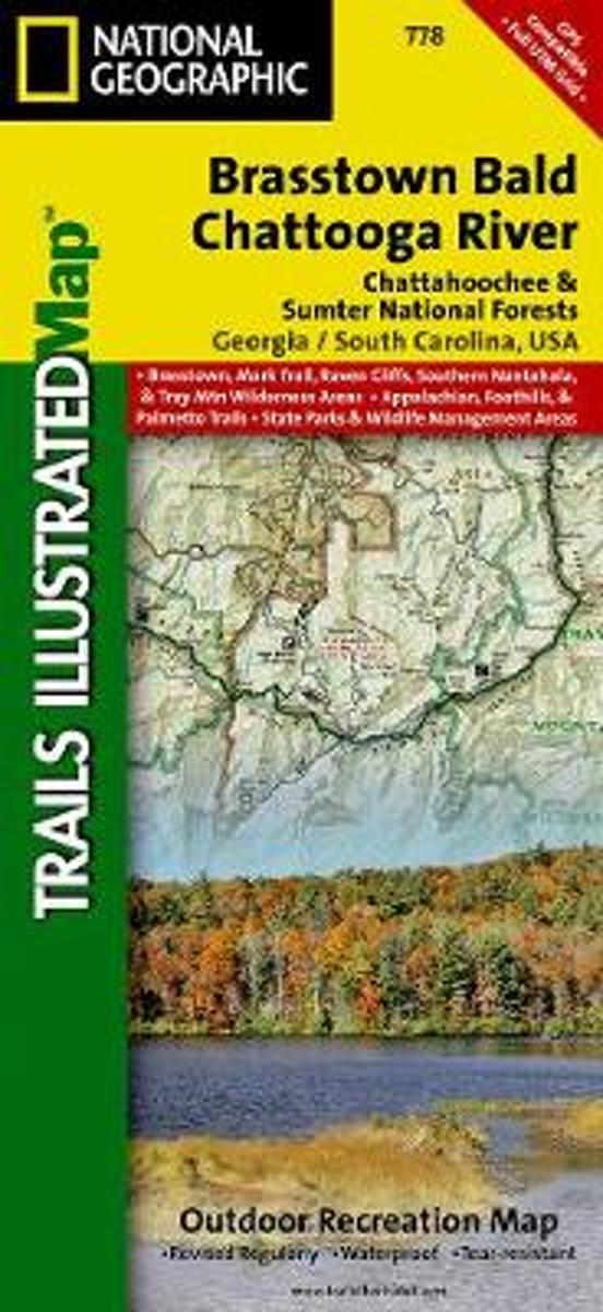
- Brasstown Bald/chattooga River, Chattahoochee National Forest
- Waterproof Tear-Resistant Topographic MapLocated just north of Atlanta, the Chattahoochee National Forest contains the southern terminus of the Appalachian Trail along with an abundance of recreational opportunities for outdoor enthusiasts of all interests.This recreation map contains carefully researched trails, campsites, forest service... Read more
- Also available from:
- Bol.com, Belgium
- Stanfords, United Kingdom
- The Book Depository, United Kingdom
Bol.com
Belgium
Belgium
- Brasstown Bald/chattooga River, Chattahoochee National Forest
- Waterproof Tear-Resistant Topographic MapLocated just north of Atlanta, the Chattahoochee National Forest contains the southern terminus of the Appalachian Trail along with an abundance of recreational opportunities for outdoor enthusiasts of all interests.This recreation map contains carefully researched trails, campsites, forest service... Read more

Stanfords
United Kingdom
United Kingdom
- Chattahoochee National Forest - Brasstown Bald - Chattooga River GA/SC
- Map No. 778, Chattahoochee National Forest: Brasstown Bald - Chattooga River, GA/SC, in an extensive series of GPS compatible, contoured hiking maps of USA’s national and state parks or forests and other popular recreational areas. Cartography based on the national topographic survey, with additional tourist information.The maps, with most... Read more

The Book Depository
United Kingdom
United Kingdom
- Brasstown Bald/chattooga River, Chattahoochee National Forest
- Trails Illustrated Other Rec. Areas Read more

Bol.com
Netherlands
Netherlands
- A Walk in the Woods
- In the company of his friend Stephen Katz (last seen in the bestselling Neither Here nor There), Bill Bryson set off to hike the Appalachian Trail, the longest continuous footpath in the world. Ahead lay almost 2,200 miles of remote mountain wilderness filled with bears, moose, bobcats, rattlesnakes, poisonous plants, disease-bearing tics, the... Read more
- Also available from:
- Bol.com, Belgium
Bol.com
Belgium
Belgium
- A Walk in the Woods
- In the company of his friend Stephen Katz (last seen in the bestselling Neither Here nor There), Bill Bryson set off to hike the Appalachian Trail, the longest continuous footpath in the world. Ahead lay almost 2,200 miles of remote mountain wilderness filled with bears, moose, bobcats, rattlesnakes, poisonous plants, disease-bearing tics, the... Read more
Bol.com
Netherlands
Netherlands
- Triple Crown of Hiking [In Gift Box]
- The United States has numerous long distance trails but three trails have risen to the top of the consciousness of the hiking community. These are the Appalachian Trail at 2,200 miles, the Pacific Crest Trail at 2,700 miles and the Contental Divide Trail at 3,100 miles. Added together these three trails cover almost 8,000 miles of the most... Read more
- Also available from:
- Bol.com, Belgium
Bol.com
Belgium
Belgium
- Triple Crown of Hiking [In Gift Box]
- The United States has numerous long distance trails but three trails have risen to the top of the consciousness of the hiking community. These are the Appalachian Trail at 2,200 miles, the Pacific Crest Trail at 2,700 miles and the Contental Divide Trail at 3,100 miles. Added together these three trails cover almost 8,000 miles of the most... Read more
Bol.com
Netherlands
Netherlands
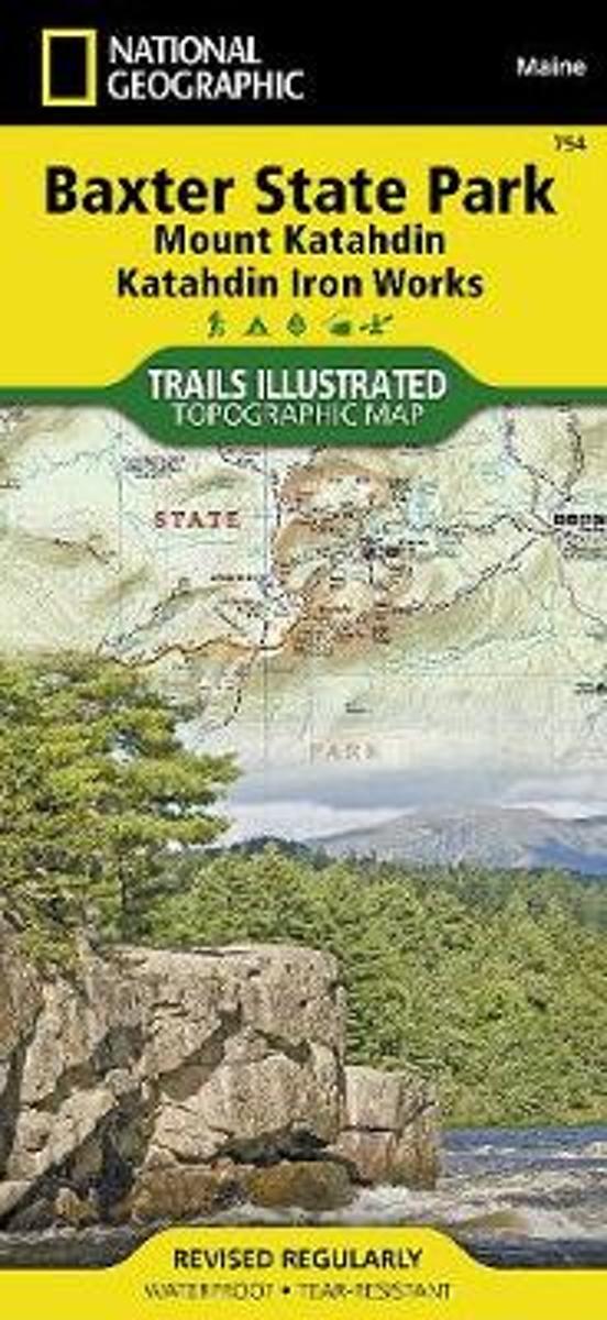
- Baxter State Park/mount Katahdin
- Waterproof Tear-Resistant Topographic MapBAXTER STATE PARK / Mount Katahdin Trails Illustrated MapNational Geographic's recreational map of Baxter State Park / Mount Katahdin is a two-sided, waterproofmap designed to meet the needs of outdoor enthusiasts with unmatched durability and detail. Loadedwith valuable information about hiking,... Read more
- Also available from:
- Bol.com, Belgium
- The Book Depository, United Kingdom
Bol.com
Belgium
Belgium
- Baxter State Park/mount Katahdin
- Waterproof Tear-Resistant Topographic MapBAXTER STATE PARK / Mount Katahdin Trails Illustrated MapNational Geographic's recreational map of Baxter State Park / Mount Katahdin is a two-sided, waterproofmap designed to meet the needs of outdoor enthusiasts with unmatched durability and detail. Loadedwith valuable information about hiking,... Read more

The Book Depository
United Kingdom
United Kingdom
- Baxter State Park/mount Katahdin
- Trails Illustrated Other Rec. Areas Read more
Bol.com
Netherlands
Netherlands
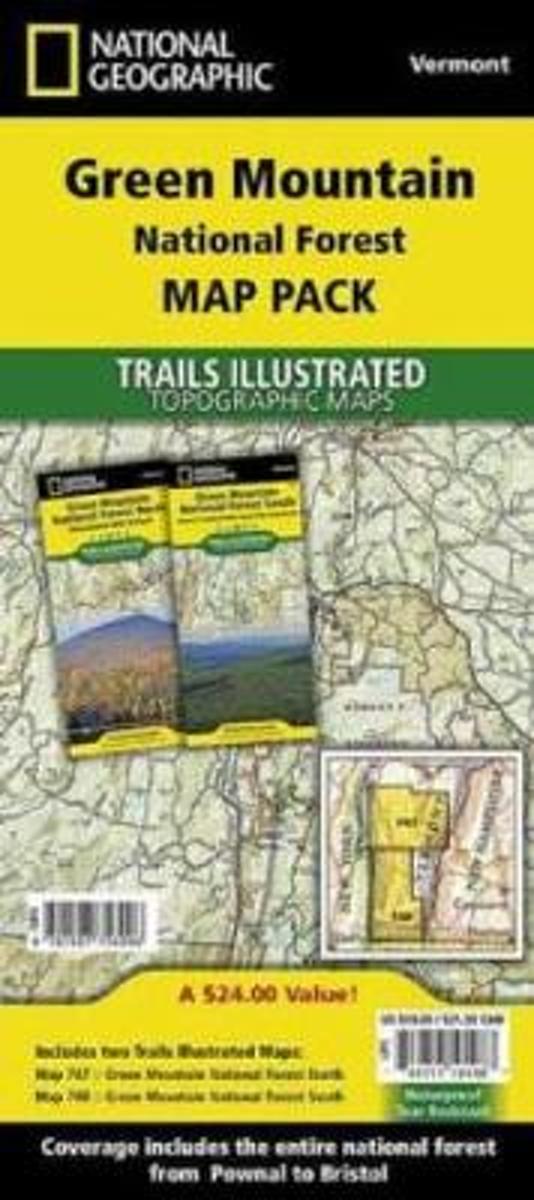
- Green Mountain National Forest, Vermont, Map Pack Bundle
- Waterproof Tear-Resistant Topographic MapThe Green Mountain National Forest Map Pack Bundle is the perfect companion to anyone planning a trip the stunning Green Mountains of Vermont. The Green Mountains are famous for thier rugged peaks and stunning beauty. This Map Pack combines two maps that cover the Green Mountain National Forest in... Read more
- Also available from:
- Bol.com, Belgium
- The Book Depository, United Kingdom
Bol.com
Belgium
Belgium
- Green Mountain National Forest, Vermont, Map Pack Bundle
- Waterproof Tear-Resistant Topographic MapThe Green Mountain National Forest Map Pack Bundle is the perfect companion to anyone planning a trip the stunning Green Mountains of Vermont. The Green Mountains are famous for thier rugged peaks and stunning beauty. This Map Pack combines two maps that cover the Green Mountain National Forest in... Read more

The Book Depository
United Kingdom
United Kingdom
- Green Mountain National Forest, Vermont, Map Pack Bundle
- Trails Illustrated National Parks Read more
Bol.com
Netherlands
Netherlands
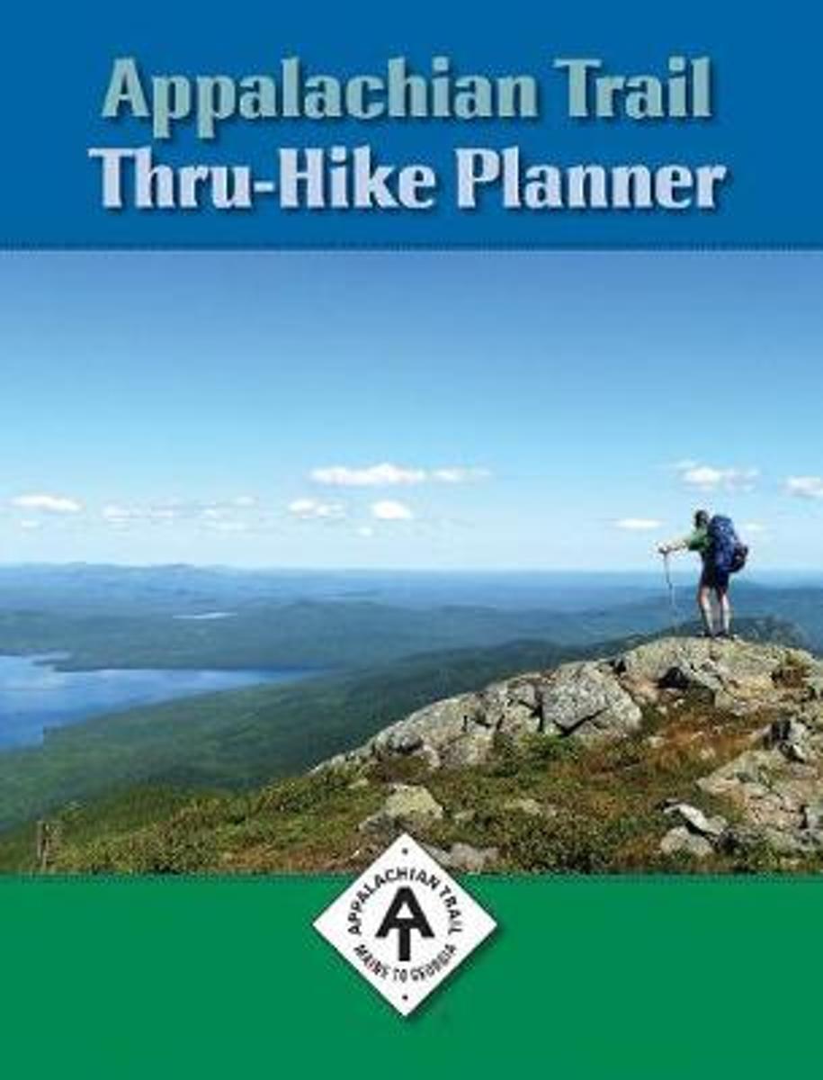
- Appalachian Trail Thru-Hike Planner
- Each year, more than 2,500 men, women and, occasionally, children set out to hike the more than 2,189 miles of the Appalachian Trail from Georgia to Maine (or vice versa). Good preparation is often the key to whether they become part of the 25-28 percent who make it. For this adventure of a lifetime, the Thru-Hike Planner will help you chart a... Read more
- Also available from:
- Bol.com, Belgium
Bol.com
Belgium
Belgium
- Appalachian Trail Thru-Hike Planner
- Each year, more than 2,500 men, women and, occasionally, children set out to hike the more than 2,189 miles of the Appalachian Trail from Georgia to Maine (or vice versa). Good preparation is often the key to whether they become part of the 25-28 percent who make it. For this adventure of a lifetime, the Thru-Hike Planner will help you chart a... Read more
Bol.com
Netherlands
Netherlands
- NEW ENGLAND (ROUGH GUIDE 1ed, 1999)---> see new ed
- The Rough Guide to New England is the ultimate travel guide to this compellingly historic region, packed with comprehensive coverage of every attraction. Honest, accurate reviews, detailed practical information, new top 5 lists, insider tips and illuminating photographs throughout will ensure that your visit is a truly memorable one.Discover... Read more
- Also available from:
- Bol.com, Belgium
Bol.com
Belgium
Belgium
- NEW ENGLAND (ROUGH GUIDE 1ed, 1999)---> see new ed
- The Rough Guide to New England is the ultimate travel guide to this compellingly historic region, packed with comprehensive coverage of every attraction. Honest, accurate reviews, detailed practical information, new top 5 lists, insider tips and illuminating photographs throughout will ensure that your visit is a truly memorable one.Discover... Read more
Bol.com
Netherlands
Netherlands
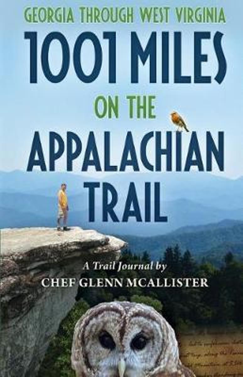
- 1001 Miles on the Appalachian Trail
- Join Chef Glenn McAllister on his Appalachian Trail adventures, covering 1001 miles of rugged footpath, inspirational mountaintops, and unbounded nature. Glenns eloquently written journal entries paint vivid pictures of the wildness of the AT, the fascinating variety of characters he met along the way, and the unexpected love story that... Read more
- Also available from:
- Bol.com, Belgium
- The Book Depository, United Kingdom
Bol.com
Belgium
Belgium
- 1001 Miles on the Appalachian Trail
- Join Chef Glenn McAllister on his Appalachian Trail adventures, covering 1001 miles of rugged footpath, inspirational mountaintops, and unbounded nature. Glenns eloquently written journal entries paint vivid pictures of the wildness of the AT, the fascinating variety of characters he met along the way, and the unexpected love story that... Read more


Bol.com
Netherlands
Netherlands
- Meeting Mr. Ed
- What happens when you reexamine your priorities and make an effort to spend quality time with someone important in your life? In 1997, I embarked on my first overnight backpacking trip. My two brothers and my 69 year old Dad, Mr. Ed, set off on a ten day trip on the Appalachian Trail. I thought it was a once in a lifetime experience. I was... Read more
- Also available from:
- Bol.com, Belgium
Bol.com
Belgium
Belgium
- Meeting Mr. Ed
- What happens when you reexamine your priorities and make an effort to spend quality time with someone important in your life? In 1997, I embarked on my first overnight backpacking trip. My two brothers and my 69 year old Dad, Mr. Ed, set off on a ten day trip on the Appalachian Trail. I thought it was a once in a lifetime experience. I was... Read more

Bol.com
Netherlands
Netherlands
- Between a Rock and a White Blaze
- Four years removed from her first long-distance hike on the Pacific Crest Trail, Julie, aka Stopwatch, is ready to embark on another thru-hike, this time following the white blazes of the Appalachian Trail, a 2181 mile continuous footpath from Georgia to Maine. She is accompanied by her husband, Matt, aka Optimist, for whom it is his second... Read more
- Also available from:
- Bol.com, Belgium
Bol.com
Belgium
Belgium
- Between a Rock and a White Blaze
- Four years removed from her first long-distance hike on the Pacific Crest Trail, Julie, aka Stopwatch, is ready to embark on another thru-hike, this time following the white blazes of the Appalachian Trail, a 2181 mile continuous footpath from Georgia to Maine. She is accompanied by her husband, Matt, aka Optimist, for whom it is his second... Read more
Kaarten

Bol.com
Netherlands
Netherlands
- Springer & Cohutta Mountains, Chattahoochee National Forest
- Waterproof Tear-Resistant Topographic MapLocated just north of Atlanta, the Chattahoochee National Forest contains the southern terminus of the Appalachian Trail along with an abundance of recreational opportunities for outdoor enthusiasts of all interests.This detailed recreation map contains carefully researched trails, campsites,... Read more
- Also available from:
- Bol.com, Belgium
- Stanfords, United Kingdom
Bol.com
Belgium
Belgium
- Springer & Cohutta Mountains, Chattahoochee National Forest
- Waterproof Tear-Resistant Topographic MapLocated just north of Atlanta, the Chattahoochee National Forest contains the southern terminus of the Appalachian Trail along with an abundance of recreational opportunities for outdoor enthusiasts of all interests.This detailed recreation map contains carefully researched trails, campsites,... Read more

Stanfords
United Kingdom
United Kingdom
- Chattahoochee National Forest - Springer and Cohutta Mountains GA/SC 777
- Map No. 777, Chattahoochee National Forest: Springer and Cohutta Mountains, GA/SC, in an extensive series of GPS compatible, contoured hiking maps of USA’s national and state parks or forests and other popular recreational areas. Cartography based on the national topographic survey, with additional tourist information.The maps, with most titles... Read more

De Zwerver
Netherlands
Netherlands
- Wandelkaart - Topografische kaart 318 Mount Rogers High Country - Grayson Highlands State Park | National Geographic
- Prachtige geplastificeerde kaart van het bekende nationaal park. Met alle recreatieve voorzieningen als campsites, maar ook met topografische details en wandelroutes ed. Door uitgekiend kleurgebruik zeer prettig in gebruik. Scheur en watervast! National Geographic's Trails Illustrated map of Mount Rogers High Country and Grayson Highlands... Read more
- Also available from:
- Bol.com, Netherlands
- Bol.com, Belgium
- Stanfords, United Kingdom
- The Book Depository, United Kingdom

Bol.com
Netherlands
Netherlands
- Mount Rogers High Country
- Waterproof Tear-Resistant Topographic MapNational Geographic's Trails Illustrated map of Mount Rogers High Country and Grayson Highlands State Park, Southwest Virginia, is a two-sided, waterproof, topographic trail map designed to meet the needs of outdoor enthusiasts with unmatched durability and detail. This map was created in... Read more
Bol.com
Belgium
Belgium
- Mount Rogers High Country
- Waterproof Tear-Resistant Topographic MapNational Geographic's Trails Illustrated map of Mount Rogers High Country and Grayson Highlands State Park, Southwest Virginia, is a two-sided, waterproof, topographic trail map designed to meet the needs of outdoor enthusiasts with unmatched durability and detail. This map was created in... Read more

Stanfords
United Kingdom
United Kingdom
- Mount Rogers High Country VA
- Map No. 318 - Mount Rogers High Country in Virginia in an extensive series of GPS compatible, contoured hiking maps of USA’s national and state parks or forests and other popular recreational areas. Cartography based on the national topographic survey, with additional tourist information.The maps, with most titles now printed on light,... Read more

The Book Depository
United Kingdom
United Kingdom
- Mount Rogers High Country
- Trails Illustrated Other Rec. Areas Read more
De Zwerver
Netherlands
Netherlands
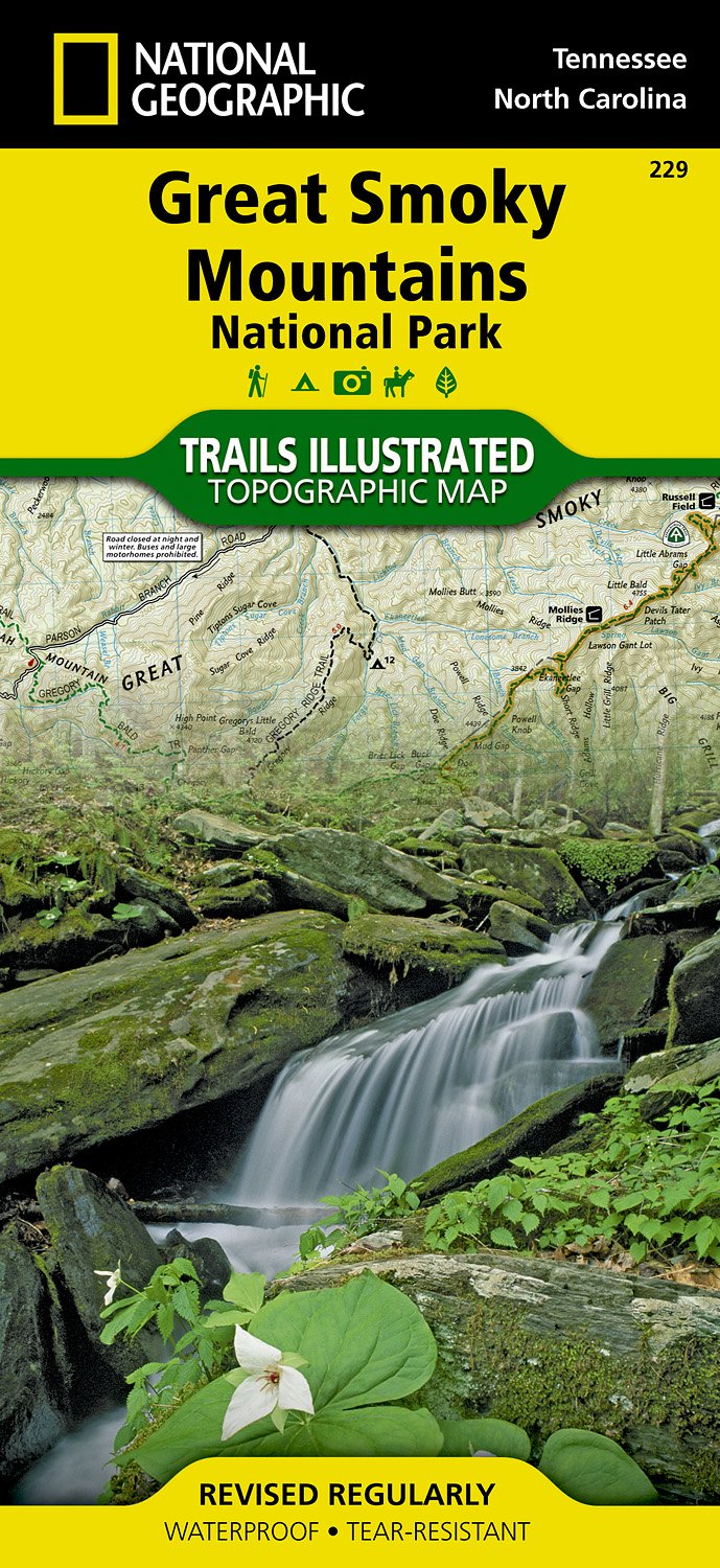
- Wandelkaart 229 Great Smoky Mountains National Park | National Geographic
- Prachtige geplastificeerde kaart van het bekende nationaal park. Met alle recreatieve voorzieningen als campsites, maar ook met topografische details en wandelroutes ed. Door uitgekiend kleurgebruik zeer prettig in gebruik. Scheur en watervast! Map No. 229, Great Smoky Mountains National Park, TN, in an extensive series of GPS compatible,... Read more
- Also available from:
- Bol.com, Netherlands
- Bol.com, Belgium
- Stanfords, United Kingdom
Bol.com
Netherlands
Netherlands
- Great Smoky Mountains National Park
- Waterproof Tear-Resistant Topographic MapAmerica's most visited national park and a UNESCO World Heritage Site, Great Smoky Mountains National Park is both renowned for its diversity of plant and animal life and rich in remnants of Southern Appalachian mountain culture. National Geographic's Trails Illustrated map of the park combines... Read more
Bol.com
Belgium
Belgium
- Great Smoky Mountains National Park
- Waterproof Tear-Resistant Topographic MapAmerica's most visited national park and a UNESCO World Heritage Site, Great Smoky Mountains National Park is both renowned for its diversity of plant and animal life and rich in remnants of Southern Appalachian mountain culture. National Geographic's Trails Illustrated map of the park combines... Read more

Stanfords
United Kingdom
United Kingdom
- Great Smoky Mountains National Park TN NGS Trails Illustrated Map 229
- Map No. 229, Great Smoky Mountains National Park, TN, in an extensive series of GPS compatible, contoured hiking maps of USA’s national and state parks or forests and other popular recreational areas. Cartography based on the national topographic survey, with additional tourist information.The maps, with most titles now printed on light,... Read more

De Zwerver
Netherlands
Netherlands
- Wandelkaart - Topografische kaart 747 Green Mountain National Forest North - Moosalamoo NRA - Rutland | National Geographic
- Prachtige geplastificeerde kaart van het bekende nationaal park. Met alle recreatieve voorzieningen als campsites, maar ook met topografische details en wandelroutes ed. Door uitgekiend kleurgebruik zeer prettig in gebruik. Scheur en watervast! National Geographic's Green Mountain National Forest North Trails Illustrated topographic map is... Read more
- Also available from:
- Bol.com, Netherlands
- Bol.com, Belgium
- Stanfords, United Kingdom
- The Book Depository, United Kingdom

Bol.com
Netherlands
Netherlands
- Green Mountains N.F., Moosalamoo NRA/Rutland
- Waterproof Tear-Resistant Topographic MapNational Geographic's Green Mountain National Forest North Trails Illustrated topographic map is the most comprehensive available for outdoor enthusiasts of all types. Designed to be easy-to-read, yet highly detailed this map includes a comprehensive road and trail network distinguishing between... Read more
Bol.com
Belgium
Belgium
- Green Mountains N.F., Moosalamoo NRA/Rutland
- Waterproof Tear-Resistant Topographic MapNational Geographic's Green Mountain National Forest North Trails Illustrated topographic map is the most comprehensive available for outdoor enthusiasts of all types. Designed to be easy-to-read, yet highly detailed this map includes a comprehensive road and trail network distinguishing between... Read more

Stanfords
United Kingdom
United Kingdom
- Green Mountain National Forest - Moosalamoo NRA - Rutland VT
- Map No. 747, Green Mountain National Forest: Moosalamoo NRA - Rutland area in Vermont, in an extensive series of GPS compatible, contoured hiking maps of USA’s national and state parks or forests and other popular recreational areas. Cartography based on the national topographic survey, with additional tourist information.The maps, with most... Read more

The Book Depository
United Kingdom
United Kingdom
- Green Mountains N.f., Moosalamoo Nra/rutland
- Trails Illustrated Other Rec. Areas Read more

De Zwerver
Netherlands
Netherlands
- Wandelkaart - Topografische kaart 316 Cades Cove - Elkmont - Great Smoky Mountains National Park | National Geographic
- Prachtige geplastificeerde kaart van het bekende nationaal park. Met alle recreatieve voorzieningen als campsites, maar ook met topografische details en wandelroutes ed. Door uitgekiend kleurgebruik zeer prettig in gebruik. Scheur en watervast! This title provides an increased scale of one of the most visited National Parks in the US, and one... Read more
- Also available from:
- Bol.com, Netherlands
- Bol.com, Belgium
- Stanfords, United Kingdom

Bol.com
Netherlands
Netherlands
- Cades Cove/elkmont, Great Smoky Mountains National Park
- Waterproof Tear-Resistant Topographic MapThis title provides an increased scale of one of the most visited National Parks in the US, and one of our more popular map titles. This increased scale will provide greater detail to the backcountry users and Appalachian Trail through-hikers.Park Introduction:Great Smoky Mountains National Park is... Read more
Bol.com
Belgium
Belgium
- Cades Cove/elkmont, Great Smoky Mountains National Park
- Waterproof Tear-Resistant Topographic MapThis title provides an increased scale of one of the most visited National Parks in the US, and one of our more popular map titles. This increased scale will provide greater detail to the backcountry users and Appalachian Trail through-hikers.Park Introduction:Great Smoky Mountains National Park is... Read more

Stanfords
United Kingdom
United Kingdom
- Cades Cove - Elkmont - Great Smoky Mountains National Park NC/TN
- Map No. 316, Great Smoky Mountains National Park: Cades Cove - Elkmont, NC/TN, in an extensive series of GPS compatible, contoured hiking maps of USA’s national and state parks or forests and other popular recreational areas. Cartography based on the national topographic survey, with additional tourist information.The maps, with most titles now... Read more