
Appalachian Trail
Beschrijving
- Name Appalachian Trail (AT)
- Lengte van pad 3,476 km, 2,160 mijl
- Lengte in dagen 180 dagen
- Traildino graad SW, Inspannende wandeling, bergpad
- Huttentrektocht graad T2, Bergtocht
 The Appalachian Trail is the oldest and most famous long distance hike in the U.S. It follows the Appalachian mountain range through 14 eastern states. An estimated 10,000 thru-hikers have finished the Appalachian Trail. It is possible to thru-hike it in one season. The 2160 miles (3480 km) can be completed in 47 days, 13 hours and 31 minutes (Andrew Thompson did it in 2005).
Kaart


Links
Feiten
Verslagen
Gidsen en kaarten
Overnachting
Organisaties
Reisorganisaties
GPS
Anders
Boeken

De Zwerver
Netherlands
2018
Netherlands
2018
- Wandelgids USA: Appalachian Trail | Conrad Stein Verlag
- Handzame overzichtsgids van deze geweldige en uitdagende lange afstands wandeling in het oosten van de USA: de Appalachian Trail. Het is een ideale gids om de hele tocht voor te bereiden en als basisgids bij je te hebben. Goede beschrijvingen van etappes en veel praktische informatie. Het enige wat mager is zijn dekaarten: goed voor overzicht... Read more


De Zwerver
Netherlands
Netherlands
Bol.com
Netherlands
Netherlands
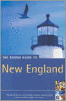
- New England
- This fully revised and updated third edition of "The Rough Guide to New England" uncovers one of America's most popular and historic regions, from the colonial villages of Vermont to the ski slopes of New Hampshire and the chic restaurants of Boston. There is informed coverage on where to hike, ski, bike, camp and explore the outdoors, from the... Read more
- Also available from:
- Bol.com, Belgium
Bol.com
Belgium
Belgium
- New England
- This fully revised and updated third edition of "The Rough Guide to New England" uncovers one of America's most popular and historic regions, from the colonial villages of Vermont to the ski slopes of New Hampshire and the chic restaurants of Boston. There is informed coverage on where to hike, ski, bike, camp and explore the outdoors, from the... Read more
De Zwerver
Netherlands
Netherlands
- Also available from:
- Bol.com, Netherlands
- Bol.com, Belgium
- The Book Depository, United Kingdom
Bol.com
Netherlands
Netherlands
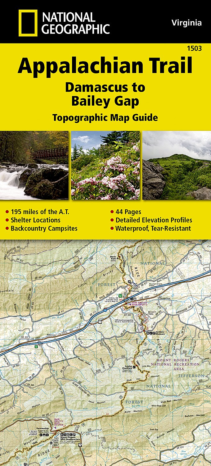
- Appalachian Trail, Damascus To Bailey Gap, Virginia
- Waterproof Tear-Resistant Topographic Map GuideThe Damascus to Bailey Gap Topographic Map Guide makes a perfect traveling companion when traversing the southwest Virginia section of the Appalachian Trail (A.T.). The A.T. in southwest Virginia travels through a culturally and historically rich area that includes fertile farmland, long,... Read more
Bol.com
Belgium
Belgium
- Appalachian Trail, Damascus To Bailey Gap, Virginia
- Waterproof Tear-Resistant Topographic Map GuideThe Damascus to Bailey Gap Topographic Map Guide makes a perfect traveling companion when traversing the southwest Virginia section of the Appalachian Trail (A.T.). The A.T. in southwest Virginia travels through a culturally and historically rich area that includes fertile farmland, long,... Read more

The Book Depository
United Kingdom
United Kingdom
- Appalachian Trail, Damascus To Bailey Gap, Virginia
- Trails Illustrated Read more

Bol.com
Netherlands
Netherlands
- A Walk for Sunshine
- Jeff Alt takes you along every step of his 2,160-mile Appalachian Trail adventure filled with humorous, frightening, and inspirational stories including, bears, bugs, blisters, skunk bed mates, and hilarious food cravings. As Alt walked through freezing temperatures, driving rain, and sunny skies, he was constantly buoyed by the knowledge that... Read more
- Also available from:
- Bol.com, Belgium
Bol.com
Belgium
Belgium
- A Walk for Sunshine
- Jeff Alt takes you along every step of his 2,160-mile Appalachian Trail adventure filled with humorous, frightening, and inspirational stories including, bears, bugs, blisters, skunk bed mates, and hilarious food cravings. As Alt walked through freezing temperatures, driving rain, and sunny skies, he was constantly buoyed by the knowledge that... Read more
Bol.com
Netherlands
Netherlands
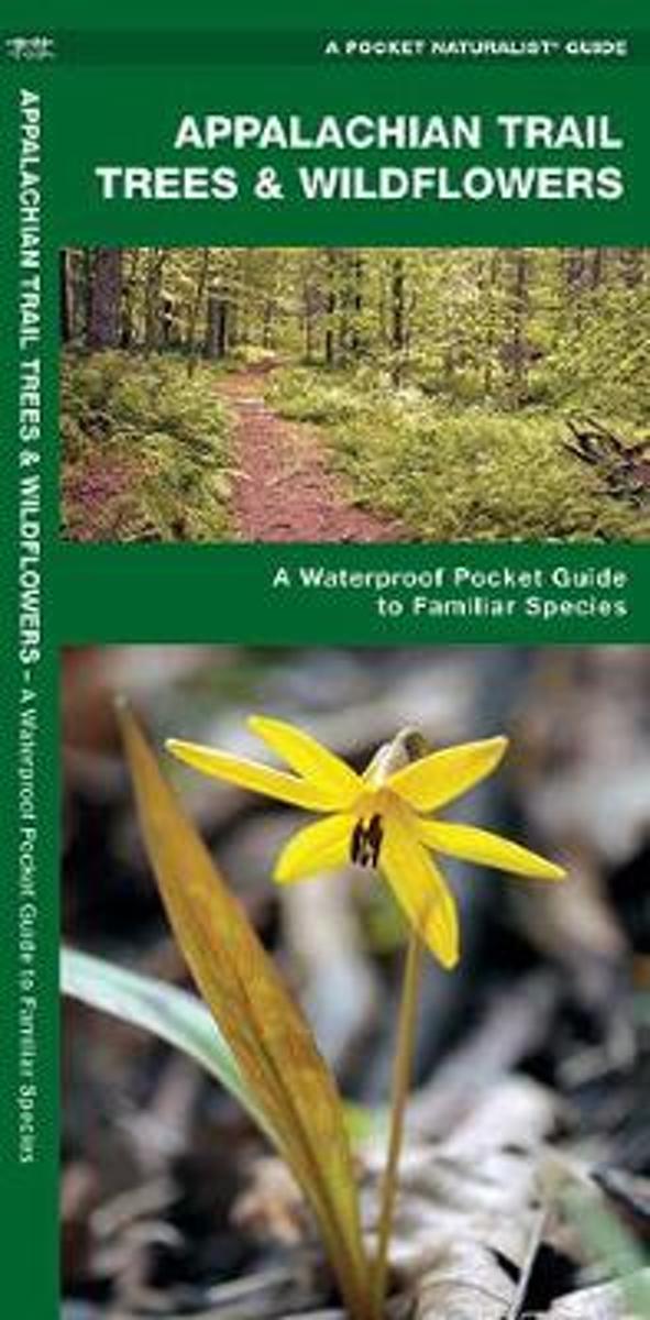
- Appalachian Trail Trees & Wildflowers
- Natural phenomena and vegetation are introduced in this beautifully illustrated guide to the plant life found along the Appalachian Trail. Printed on the same waterproof, rip-proof plastic as the Duraguide line, this Pocket Naturalist Guide is highly durable for use in the field as it provides a portable reference to a variety of common trees,... Read more
- Also available from:
- Bol.com, Belgium
Bol.com
Belgium
Belgium
- Appalachian Trail Trees & Wildflowers
- Natural phenomena and vegetation are introduced in this beautifully illustrated guide to the plant life found along the Appalachian Trail. Printed on the same waterproof, rip-proof plastic as the Duraguide line, this Pocket Naturalist Guide is highly durable for use in the field as it provides a portable reference to a variety of common trees,... Read more
Bol.com
Netherlands
Netherlands
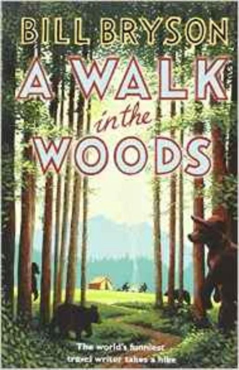
- A Walk in the Woods
- In the company of his friend Stephen Katz (last seen in the bestselling Neither Here nor There), Bill Bryson set off to hike the Appalachian Trail, the longest continuous footpath in the world. Ahead lay almost 2,200 miles of remote mountain wilderness filled with bears, moose, bobcats, rattlesnakes, poisonous plants, disease-bearing tics, the... Read more
- Also available from:
- Bol.com, Belgium
Bol.com
Belgium
Belgium
- A Walk in the Woods
- In the company of his friend Stephen Katz (last seen in the bestselling Neither Here nor There), Bill Bryson set off to hike the Appalachian Trail, the longest continuous footpath in the world. Ahead lay almost 2,200 miles of remote mountain wilderness filled with bears, moose, bobcats, rattlesnakes, poisonous plants, disease-bearing tics, the... Read more

Bol.com
Netherlands
Netherlands
- Walking On The Happy Side Of Misery
- "Model T"--the alter ego of retired Marine Corps officer Tate--tells the story of "their" three thru-hikes in the 1990s with an unusual eye for detail and an ear for laughs. Despite the length, this one is a fast-moving keeper for long-distance hiking veterans. Read more
- Also available from:
- Bol.com, Belgium
Bol.com
Belgium
Belgium
- Walking On The Happy Side Of Misery
- "Model T"--the alter ego of retired Marine Corps officer Tate--tells the story of "their" three thru-hikes in the 1990s with an unusual eye for detail and an ear for laughs. Despite the length, this one is a fast-moving keeper for long-distance hiking veterans. Read more
Bol.com
Netherlands
Netherlands
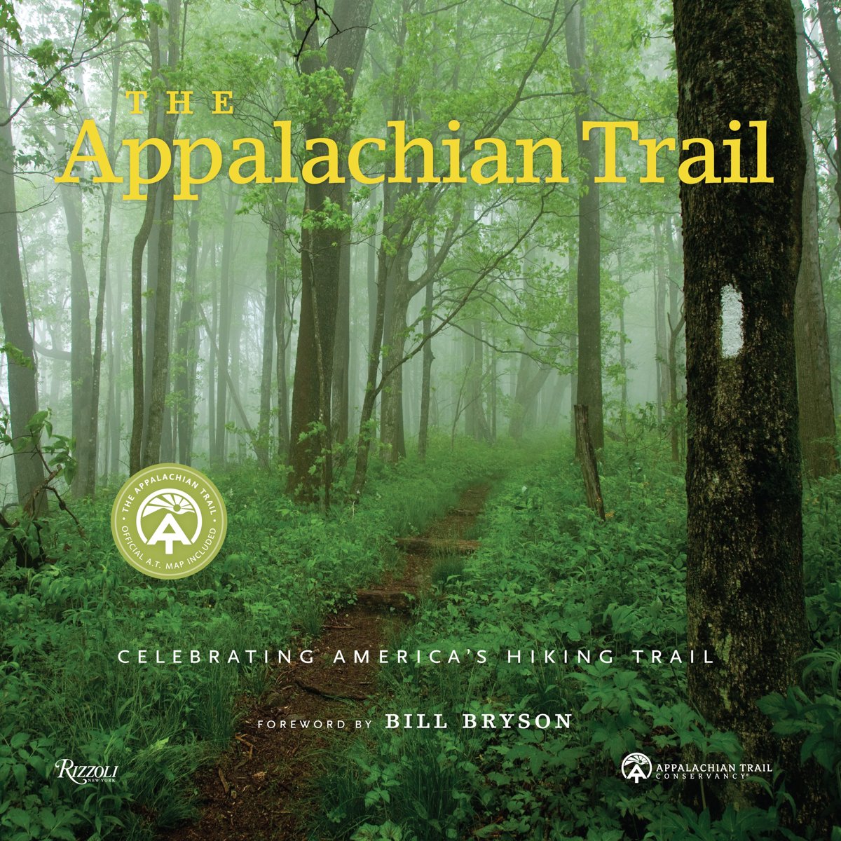
- The Appalachian Trail
- The only illustrated book officially published with the Appalachian Trail Conservancy, The Appalachian Trail explores this legendary footpath in detail: with a foreword by Bill Bryson and filled with more than 300 spectacular contemporary images, as well as unpublished historical photos, documents, and maps from the ATC archives. Once inspired... Read more
- Also available from:
- Bol.com, Belgium
- The Book Depository, United Kingdom
Bol.com
Belgium
Belgium
- The Appalachian Trail
- The only illustrated book officially published with the Appalachian Trail Conservancy, The Appalachian Trail explores this legendary footpath in detail: with a foreword by Bill Bryson and filled with more than 300 spectacular contemporary images, as well as unpublished historical photos, documents, and maps from the ATC archives. Once inspired... Read more


Bol.com
Netherlands
Netherlands
- Of Moose and Men
- After landing the perfect job, Wellman drives to Maine where she spends five months living off grid, teaching Leave No Trace and confronting both men and moose in hilarious, behind the scene stories of what being a Ridgerunner on the Appalachian Trail really means. Known to the hiking community by her trail name 'Brawny', she has thru hiked the... Read more
- Also available from:
- Bol.com, Belgium
Bol.com
Belgium
Belgium
- Of Moose and Men
- After landing the perfect job, Wellman drives to Maine where she spends five months living off grid, teaching Leave No Trace and confronting both men and moose in hilarious, behind the scene stories of what being a Ridgerunner on the Appalachian Trail really means. Known to the hiking community by her trail name 'Brawny', she has thru hiked the... Read more
Bol.com
Netherlands
Netherlands
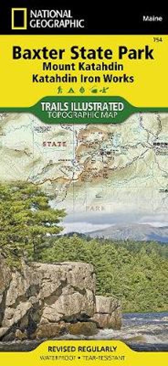
- Baxter State Park/mount Katahdin
- Waterproof Tear-Resistant Topographic MapBAXTER STATE PARK / Mount Katahdin Trails Illustrated MapNational Geographic's recreational map of Baxter State Park / Mount Katahdin is a two-sided, waterproofmap designed to meet the needs of outdoor enthusiasts with unmatched durability and detail. Loadedwith valuable information about hiking,... Read more
- Also available from:
- Bol.com, Belgium
- The Book Depository, United Kingdom
Bol.com
Belgium
Belgium
- Baxter State Park/mount Katahdin
- Waterproof Tear-Resistant Topographic MapBAXTER STATE PARK / Mount Katahdin Trails Illustrated MapNational Geographic's recreational map of Baxter State Park / Mount Katahdin is a two-sided, waterproofmap designed to meet the needs of outdoor enthusiasts with unmatched durability and detail. Loadedwith valuable information about hiking,... Read more

The Book Depository
United Kingdom
United Kingdom
- Baxter State Park/mount Katahdin
- Trails Illustrated Other Rec. Areas Read more

Bol.com
Netherlands
Netherlands
- Waffle Print
- The Appalachian Trail is a continuous path in a canopy. It might be nicknamed the "social rooted trail" as the chance of not seeing a soul on a single day is nil, but the chance to stumble on a root is 100%. But a continuous trail from Key West, Florida, to the Gaspé Peninsula, Quebec, would diversify the experience of long-distance hiking.... Read more
- Also available from:
- Bol.com, Belgium
Bol.com
Belgium
Belgium
- Waffle Print
- The Appalachian Trail is a continuous path in a canopy. It might be nicknamed the "social rooted trail" as the chance of not seeing a soul on a single day is nil, but the chance to stumble on a root is 100%. But a continuous trail from Key West, Florida, to the Gaspé Peninsula, Quebec, would diversify the experience of long-distance hiking.... Read more
Bol.com
Netherlands
Netherlands
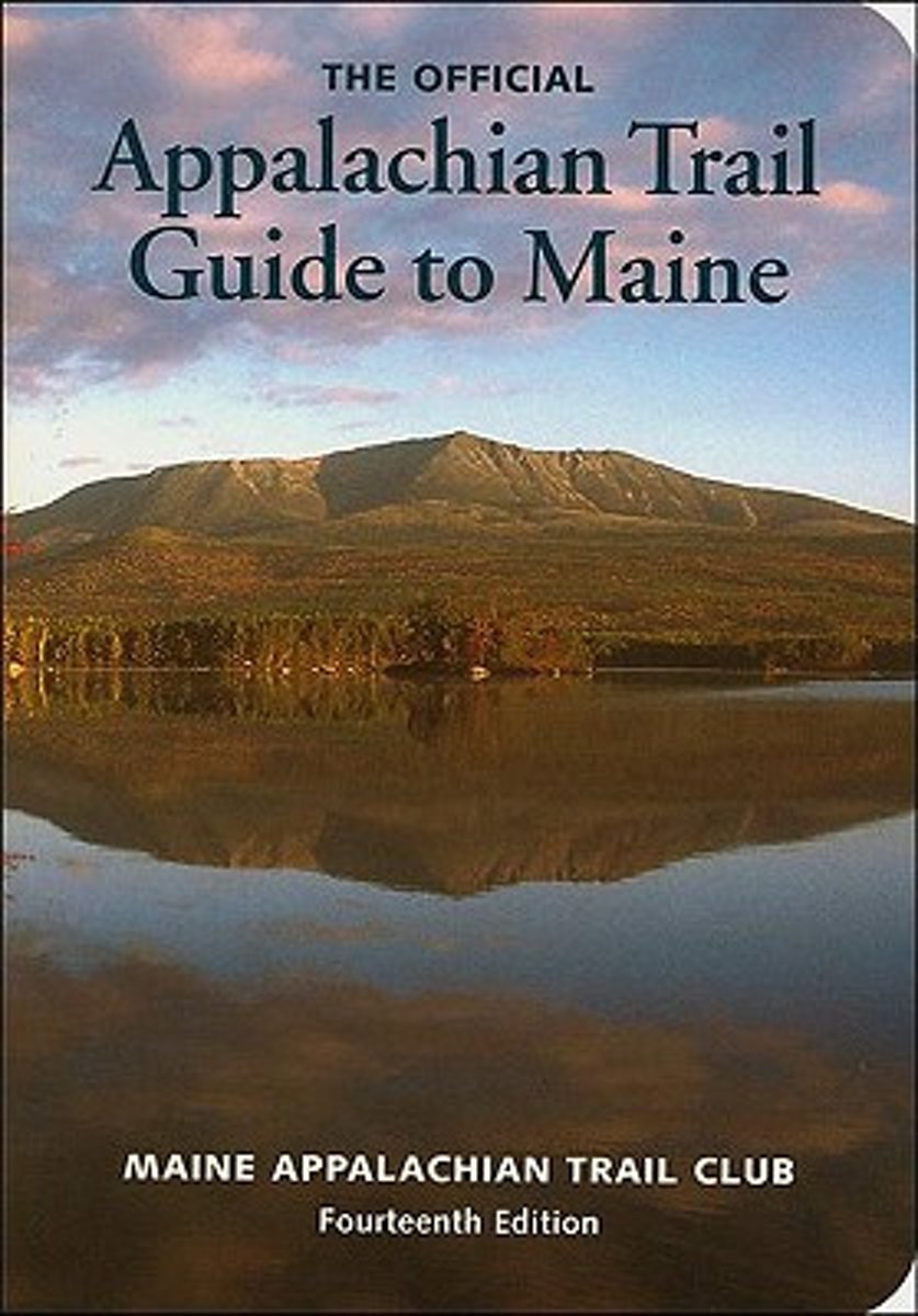
- Appalachian Trail Guide to Maine
- This is the official guide to the 281 miles of the Appalachian Trail in Maine, from the summit of Mt. Katahdin in Baxter State Park south and west to the New Hampshire border. This trail guide is a planning guide with rich historical background on the lands. The seven, four-color, topographic maps-at 1:62,500 scale with modified shaded... Read more
- Also available from:
- Bol.com, Belgium
Bol.com
Belgium
Belgium
- Appalachian Trail Guide to Maine
- This is the official guide to the 281 miles of the Appalachian Trail in Maine, from the summit of Mt. Katahdin in Baxter State Park south and west to the New Hampshire border. This trail guide is a planning guide with rich historical background on the lands. The seven, four-color, topographic maps-at 1:62,500 scale with modified shaded... Read more

Bol.com
Netherlands
Netherlands
- A Walk in the Woods
- In the company of his friend Stephen Katz (last seen in the bestselling Neither Here nor There), Bill Bryson set off to hike the Appalachian Trail, the longest continuous footpath in the world. Ahead lay almost 2,200 miles of remote mountain wilderness filled with bears, moose, bobcats, rattlesnakes, poisonous plants, disease-bearing tics, the... Read more
- Also available from:
- Bol.com, Belgium
Bol.com
Belgium
Belgium
- A Walk in the Woods
- In the company of his friend Stephen Katz (last seen in the bestselling Neither Here nor There), Bill Bryson set off to hike the Appalachian Trail, the longest continuous footpath in the world. Ahead lay almost 2,200 miles of remote mountain wilderness filled with bears, moose, bobcats, rattlesnakes, poisonous plants, disease-bearing tics, the... Read more
Kaarten

De Zwerver
Netherlands
Netherlands
- Wandelkaart - Topografische kaart 316 Cades Cove - Elkmont - Great Smoky Mountains National Park | National Geographic
- Prachtige geplastificeerde kaart van het bekende nationaal park. Met alle recreatieve voorzieningen als campsites, maar ook met topografische details en wandelroutes ed. Door uitgekiend kleurgebruik zeer prettig in gebruik. Scheur en watervast! This title provides an increased scale of one of the most visited National Parks in the US, and one... Read more
- Also available from:
- Bol.com, Netherlands
- Bol.com, Belgium
- Stanfords, United Kingdom

Bol.com
Netherlands
Netherlands
- Cades Cove/elkmont, Great Smoky Mountains National Park
- Waterproof Tear-Resistant Topographic MapThis title provides an increased scale of one of the most visited National Parks in the US, and one of our more popular map titles. This increased scale will provide greater detail to the backcountry users and Appalachian Trail through-hikers.Park Introduction:Great Smoky Mountains National Park is... Read more
Bol.com
Belgium
Belgium
- Cades Cove/elkmont, Great Smoky Mountains National Park
- Waterproof Tear-Resistant Topographic MapThis title provides an increased scale of one of the most visited National Parks in the US, and one of our more popular map titles. This increased scale will provide greater detail to the backcountry users and Appalachian Trail through-hikers.Park Introduction:Great Smoky Mountains National Park is... Read more

Stanfords
United Kingdom
United Kingdom
- Cades Cove - Elkmont - Great Smoky Mountains National Park NC/TN
- Map No. 316, Great Smoky Mountains National Park: Cades Cove - Elkmont, NC/TN, in an extensive series of GPS compatible, contoured hiking maps of USA’s national and state parks or forests and other popular recreational areas. Cartography based on the national topographic survey, with additional tourist information.The maps, with most titles now... Read more

Bol.com
Netherlands
Netherlands
- Springer & Cohutta Mountains, Chattahoochee National Forest
- Waterproof Tear-Resistant Topographic MapLocated just north of Atlanta, the Chattahoochee National Forest contains the southern terminus of the Appalachian Trail along with an abundance of recreational opportunities for outdoor enthusiasts of all interests.This detailed recreation map contains carefully researched trails, campsites,... Read more
- Also available from:
- Bol.com, Belgium
- Stanfords, United Kingdom
Bol.com
Belgium
Belgium
- Springer & Cohutta Mountains, Chattahoochee National Forest
- Waterproof Tear-Resistant Topographic MapLocated just north of Atlanta, the Chattahoochee National Forest contains the southern terminus of the Appalachian Trail along with an abundance of recreational opportunities for outdoor enthusiasts of all interests.This detailed recreation map contains carefully researched trails, campsites,... Read more

Stanfords
United Kingdom
United Kingdom
- Chattahoochee National Forest - Springer and Cohutta Mountains GA/SC 777
- Map No. 777, Chattahoochee National Forest: Springer and Cohutta Mountains, GA/SC, in an extensive series of GPS compatible, contoured hiking maps of USA’s national and state parks or forests and other popular recreational areas. Cartography based on the national topographic survey, with additional tourist information.The maps, with most titles... Read more

De Zwerver
Netherlands
Netherlands
- Wandelkaart - Topografische kaart 318 Mount Rogers High Country - Grayson Highlands State Park | National Geographic
- Prachtige geplastificeerde kaart van het bekende nationaal park. Met alle recreatieve voorzieningen als campsites, maar ook met topografische details en wandelroutes ed. Door uitgekiend kleurgebruik zeer prettig in gebruik. Scheur en watervast! National Geographic's Trails Illustrated map of Mount Rogers High Country and Grayson Highlands... Read more
- Also available from:
- Bol.com, Netherlands
- Bol.com, Belgium
- Stanfords, United Kingdom
- The Book Depository, United Kingdom

Bol.com
Netherlands
Netherlands
- Mount Rogers High Country
- Waterproof Tear-Resistant Topographic MapNational Geographic's Trails Illustrated map of Mount Rogers High Country and Grayson Highlands State Park, Southwest Virginia, is a two-sided, waterproof, topographic trail map designed to meet the needs of outdoor enthusiasts with unmatched durability and detail. This map was created in... Read more
Bol.com
Belgium
Belgium
- Mount Rogers High Country
- Waterproof Tear-Resistant Topographic MapNational Geographic's Trails Illustrated map of Mount Rogers High Country and Grayson Highlands State Park, Southwest Virginia, is a two-sided, waterproof, topographic trail map designed to meet the needs of outdoor enthusiasts with unmatched durability and detail. This map was created in... Read more

Stanfords
United Kingdom
United Kingdom
- Mount Rogers High Country VA
- Map No. 318 - Mount Rogers High Country in Virginia in an extensive series of GPS compatible, contoured hiking maps of USA’s national and state parks or forests and other popular recreational areas. Cartography based on the national topographic survey, with additional tourist information.The maps, with most titles now printed on light,... Read more

The Book Depository
United Kingdom
United Kingdom
- Mount Rogers High Country
- Trails Illustrated Other Rec. Areas Read more

De Zwerver
Netherlands
Netherlands
- Wandelkaart - Topografische kaart 747 Green Mountain National Forest North - Moosalamoo NRA - Rutland | National Geographic
- Prachtige geplastificeerde kaart van het bekende nationaal park. Met alle recreatieve voorzieningen als campsites, maar ook met topografische details en wandelroutes ed. Door uitgekiend kleurgebruik zeer prettig in gebruik. Scheur en watervast! National Geographic's Green Mountain National Forest North Trails Illustrated topographic map is... Read more
- Also available from:
- Bol.com, Netherlands
- Bol.com, Belgium
- Stanfords, United Kingdom
- The Book Depository, United Kingdom

Bol.com
Netherlands
Netherlands
- Green Mountains N.F., Moosalamoo NRA/Rutland
- Waterproof Tear-Resistant Topographic MapNational Geographic's Green Mountain National Forest North Trails Illustrated topographic map is the most comprehensive available for outdoor enthusiasts of all types. Designed to be easy-to-read, yet highly detailed this map includes a comprehensive road and trail network distinguishing between... Read more
Bol.com
Belgium
Belgium
- Green Mountains N.F., Moosalamoo NRA/Rutland
- Waterproof Tear-Resistant Topographic MapNational Geographic's Green Mountain National Forest North Trails Illustrated topographic map is the most comprehensive available for outdoor enthusiasts of all types. Designed to be easy-to-read, yet highly detailed this map includes a comprehensive road and trail network distinguishing between... Read more

Stanfords
United Kingdom
United Kingdom
- Green Mountain National Forest - Moosalamoo NRA - Rutland VT
- Map No. 747, Green Mountain National Forest: Moosalamoo NRA - Rutland area in Vermont, in an extensive series of GPS compatible, contoured hiking maps of USA’s national and state parks or forests and other popular recreational areas. Cartography based on the national topographic survey, with additional tourist information.The maps, with most... Read more

The Book Depository
United Kingdom
United Kingdom
- Green Mountains N.f., Moosalamoo Nra/rutland
- Trails Illustrated Other Rec. Areas Read more