
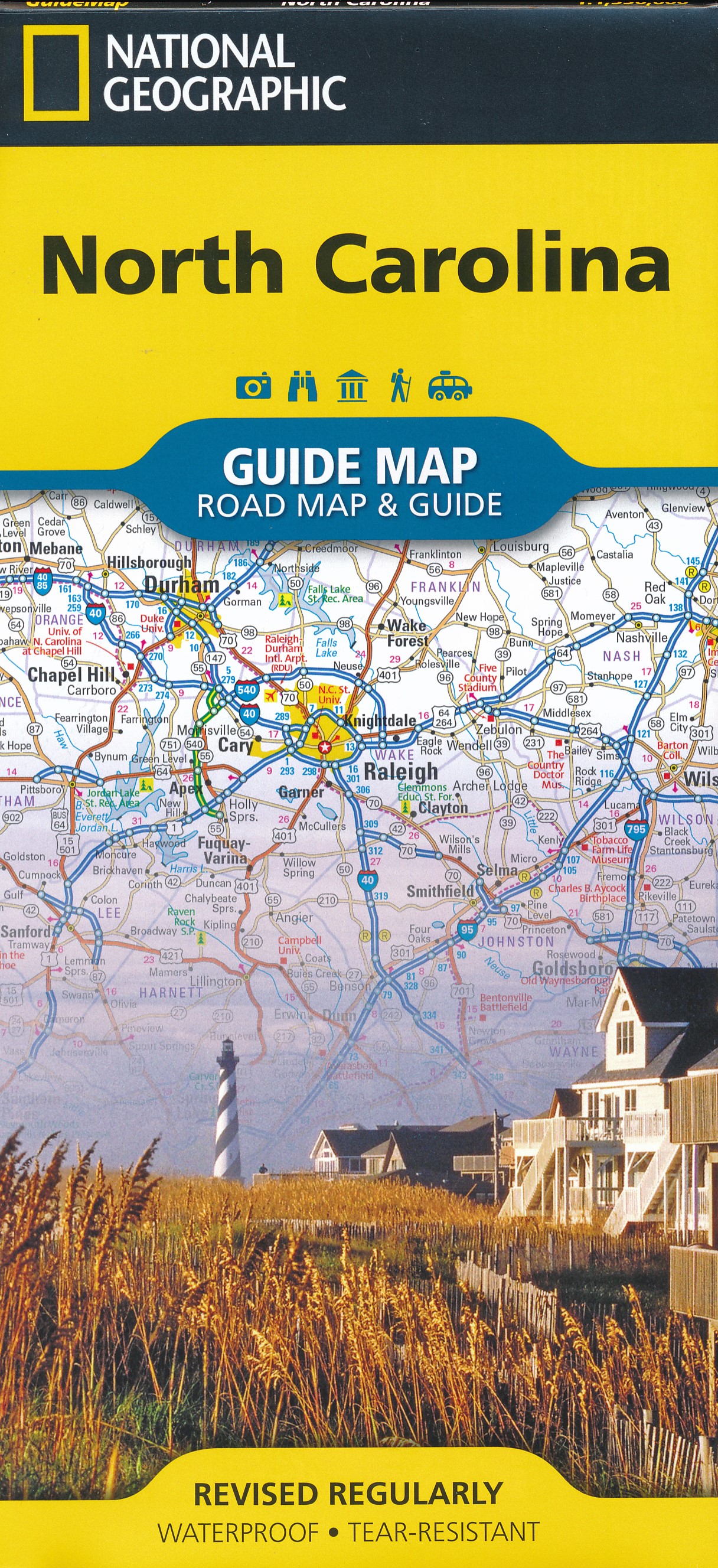
North Carolina
Beschrijving
North Carolina, with its coast on the Atlantic and its Western Tip in the Appalachians, hosts the famous and busy Great Smoky Mountains National Park. South of this park lies the Nantahala National Forest. And north is the Pisgah National Forest. You will find some 2000 miles of trails in these areas.
The Appalachian Trail goes through the heart of the Great Smoky Mountains. The Mountains-to-Sea Trail will take you (when it is ready) from the Great Smoky Mountains to the Croatan National Forest and Cape Hatteras National Seashore, some 900 miles.
Interesting is the 300 mile Benton MacKaye Trail, in the remote backcountry of North Carolina, Georgia and Tennesse.
The long East Coast Greenway and Eastern Continental Trail also cross the state.
Kaart

Paden in deze landsdeel
Links
Feiten
Verslagen
Gidsen en kaarten
Overnachting
Organisaties
Reisorganisaties
GPS
Anders
Boeken


De Zwerver
Netherlands
Netherlands

De Zwerver
Netherlands
2018
Netherlands
2018
- Wandelgids USA: Appalachian Trail | Conrad Stein Verlag
- Handzame overzichtsgids van deze geweldige en uitdagende lange afstands wandeling in het oosten van de USA: de Appalachian Trail. Het is een ideale gids om de hele tocht voor te bereiden en als basisgids bij je te hebben. Goede beschrijvingen van etappes en veel praktische informatie. Het enige wat mager is zijn dekaarten: goed voor overzicht... Read more

Bol.com
Netherlands
Netherlands
- Meeting Mr. Ed
- What happens when you reexamine your priorities and make an effort to spend quality time with someone important in your life? In 1997, I embarked on my first overnight backpacking trip. My two brothers and my 69 year old Dad, Mr. Ed, set off on a ten day trip on the Appalachian Trail. I thought it was a once in a lifetime experience. I was... Read more
- Also available from:
- Bol.com, Belgium
Bol.com
Belgium
Belgium
- Meeting Mr. Ed
- What happens when you reexamine your priorities and make an effort to spend quality time with someone important in your life? In 1997, I embarked on my first overnight backpacking trip. My two brothers and my 69 year old Dad, Mr. Ed, set off on a ten day trip on the Appalachian Trail. I thought it was a once in a lifetime experience. I was... Read more

Bol.com
Netherlands
Netherlands
- Solemates
- WINNER OF THE COVETED 2011 NATIONAL INDIE EXCELLENCE BOOK AWARD!What happens when a middle-aged couple with no previous backpacking experience, decides to test their 14-year marriage and spend six months hiking the Appalachian Trail from Georgia to Maine in one continuous hike? Will their motto of "Quitting is not an option" be a blessing or a... Read more
- Also available from:
- Bol.com, Belgium
Bol.com
Belgium
Belgium
- Solemates
- WINNER OF THE COVETED 2011 NATIONAL INDIE EXCELLENCE BOOK AWARD!What happens when a middle-aged couple with no previous backpacking experience, decides to test their 14-year marriage and spend six months hiking the Appalachian Trail from Georgia to Maine in one continuous hike? Will their motto of "Quitting is not an option" be a blessing or a... Read more

Bol.com
Netherlands
Netherlands
- Little Luke Leaves Home
- Little Luke Leaves Home is a journey about Lukes first year and his life as a five-pound dog that managed to find whatever was needed to survive in his world where everyone was bigger. He was a runt, but did not know it. Lukes loyalty to one family made him choose to leave a home once, but his home changed several more times before he was one... Read more
- Also available from:
- Bol.com, Belgium
Bol.com
Belgium
Belgium
- Little Luke Leaves Home
- Little Luke Leaves Home is a journey about Lukes first year and his life as a five-pound dog that managed to find whatever was needed to survive in his world where everyone was bigger. He was a runt, but did not know it. Lukes loyalty to one family made him choose to leave a home once, but his home changed several more times before he was one... Read more
De Zwerver
Netherlands
Netherlands
- Also available from:
- Bol.com, Netherlands
- Bol.com, Belgium
- The Book Depository, United Kingdom
Bol.com
Netherlands
Netherlands
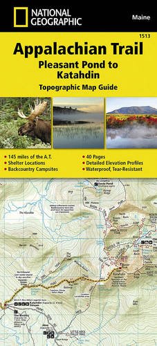
- Appalachian Trail, Pleasant Pond To Katahdin, Maine
- Waterproof Tear-Resistant Topographic Map GuideThe Pleasant Pond to Katahdin Topographic Map Guide makes a perfect traveling companion when traversing the northern Maine section of the Appalachian Trail (A.T.). The A.T. through Maine offers some of the most challenging sections of trail along the A.T., both in rugged terrain and weather... Read more
Bol.com
Belgium
Belgium
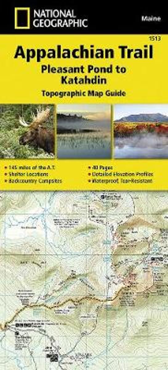
- Appalachian Trail, Pleasant Pond To Katahdin, Maine
- Waterproof Tear-Resistant Topographic Map GuideThe Pleasant Pond to Katahdin Topographic Map Guide makes a perfect traveling companion when traversing the northern Maine section of the Appalachian Trail (A.T.). The A.T. through Maine offers some of the most challenging sections of trail along the A.T., both in rugged terrain and weather... Read more

The Book Depository
United Kingdom
United Kingdom
- Appalachian Trail, Pleasant Pond To Katahdin, Maine
- Trails Illustrated Read more

Bol.com
Netherlands
Netherlands
- Rescue of the Bounty
- From the author of the Fall 2015 Disney movie The Finest Hours, the "thrilling and perfectly paced" (Booklist) story of the sinking and rescue of Bounty—the tall ship used in the classic 1962 movie Mutiny on the Bounty—which was caught in the path of Hurricane Sandy with sixteen aboard.On Thursday, October 25, 2012, Captain Robin Walbridge made... Read more
- Also available from:
- Bol.com, Belgium
Bol.com
Belgium
Belgium
- Rescue of the Bounty
- From the author of the Fall 2015 Disney movie The Finest Hours, the "thrilling and perfectly paced" (Booklist) story of the sinking and rescue of Bounty—the tall ship used in the classic 1962 movie Mutiny on the Bounty—which was caught in the path of Hurricane Sandy with sixteen aboard.On Thursday, October 25, 2012, Captain Robin Walbridge made... Read more
Bol.com
Netherlands
Netherlands
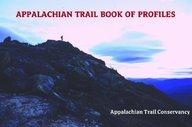
- Appalachian Trail Book of Profiles
- A day on the Appalachian Trail is a day of ups and downs. The most relaxed hikers are those who have planned their days by looking ahead at the ups-and-downs they face before another night's rest, letting the surprises come from the views or the wildlife or the companions instead of unexpected climbs or descents. Here, for the first time for... Read more
- Also available from:
- Bol.com, Belgium
Bol.com
Belgium
Belgium
- Appalachian Trail Book of Profiles
- A day on the Appalachian Trail is a day of ups and downs. The most relaxed hikers are those who have planned their days by looking ahead at the ups-and-downs they face before another night's rest, letting the surprises come from the views or the wildlife or the companions instead of unexpected climbs or descents. Here, for the first time for... Read more
Bol.com
Netherlands
Netherlands
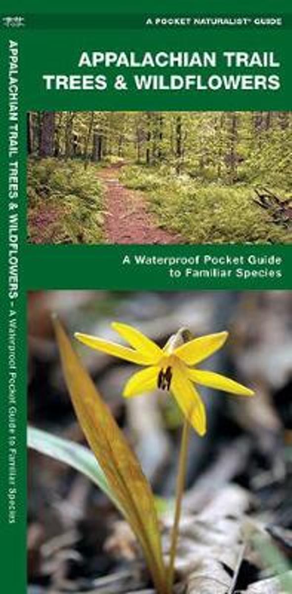
- Appalachian Trail Trees & Wildflowers
- Natural phenomena and vegetation are introduced in this beautifully illustrated guide to the plant life found along the Appalachian Trail. Printed on the same waterproof, rip-proof plastic as the Duraguide line, this Pocket Naturalist Guide is highly durable for use in the field as it provides a portable reference to a variety of common trees,... Read more
- Also available from:
- Bol.com, Belgium
Bol.com
Belgium
Belgium
- Appalachian Trail Trees & Wildflowers
- Natural phenomena and vegetation are introduced in this beautifully illustrated guide to the plant life found along the Appalachian Trail. Printed on the same waterproof, rip-proof plastic as the Duraguide line, this Pocket Naturalist Guide is highly durable for use in the field as it provides a portable reference to a variety of common trees,... Read more
Bol.com
Netherlands
Netherlands
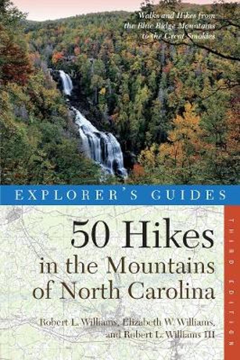
- Explorer's Guide 50 Hikes in the Mountains of North Carolina
- This updated third edition offers day hikes for all skill levels and abilities, including an underground hike through an old gold mine and a climb to the top of the highest peak along the Blue Ridge Parkway.The mountain ranges of North Carolina from the Blue Ridge and Great Smokies to the southern foothills are distinguished by steep gorges,... Read more
- Also available from:
- Bol.com, Belgium
Bol.com
Belgium
Belgium
- Explorer's Guide 50 Hikes in the Mountains of North Carolina
- This updated third edition offers day hikes for all skill levels and abilities, including an underground hike through an old gold mine and a climb to the top of the highest peak along the Blue Ridge Parkway.The mountain ranges of North Carolina from the Blue Ridge and Great Smokies to the southern foothills are distinguished by steep gorges,... Read more
Bol.com
Netherlands
Netherlands
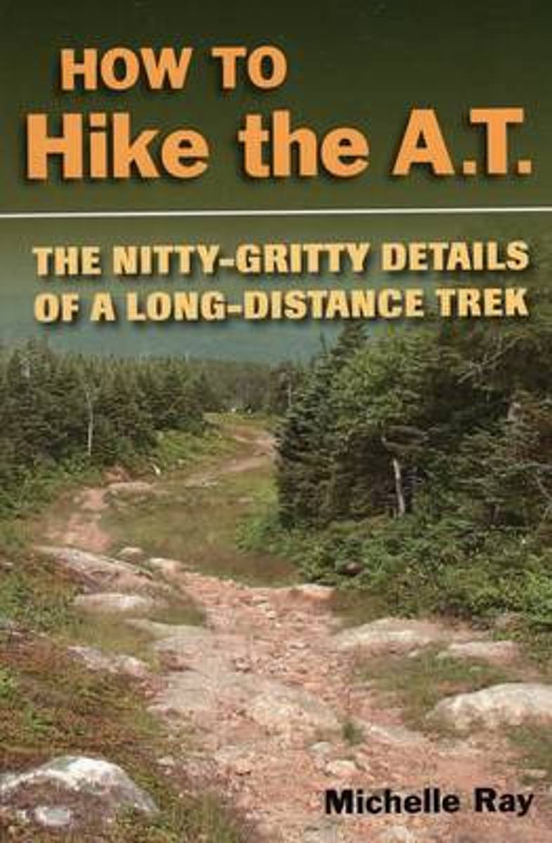
- How to Hike the A.T.
- How to plan and prepare for a long-distance hike on the Appalachian Trail. Includes information on trail nutrition, culture, first aid, gear, weather conditions, and more. Expert advice from an experienced long-distance hiker along with useful information for any long-distance trek. Read more
- Also available from:
- Bol.com, Belgium
- The Book Depository, United Kingdom
Bol.com
Belgium
Belgium
- How to Hike the A.T.
- How to plan and prepare for a long-distance hike on the Appalachian Trail. Includes information on trail nutrition, culture, first aid, gear, weather conditions, and more. Expert advice from an experienced long-distance hiker along with useful information for any long-distance trek. Read more

The Book Depository
United Kingdom
United Kingdom
- How to Hike the A.T.
- The Nitty-Gritty Details of a Long-Distance Trek Read more
Bol.com
Netherlands
Netherlands
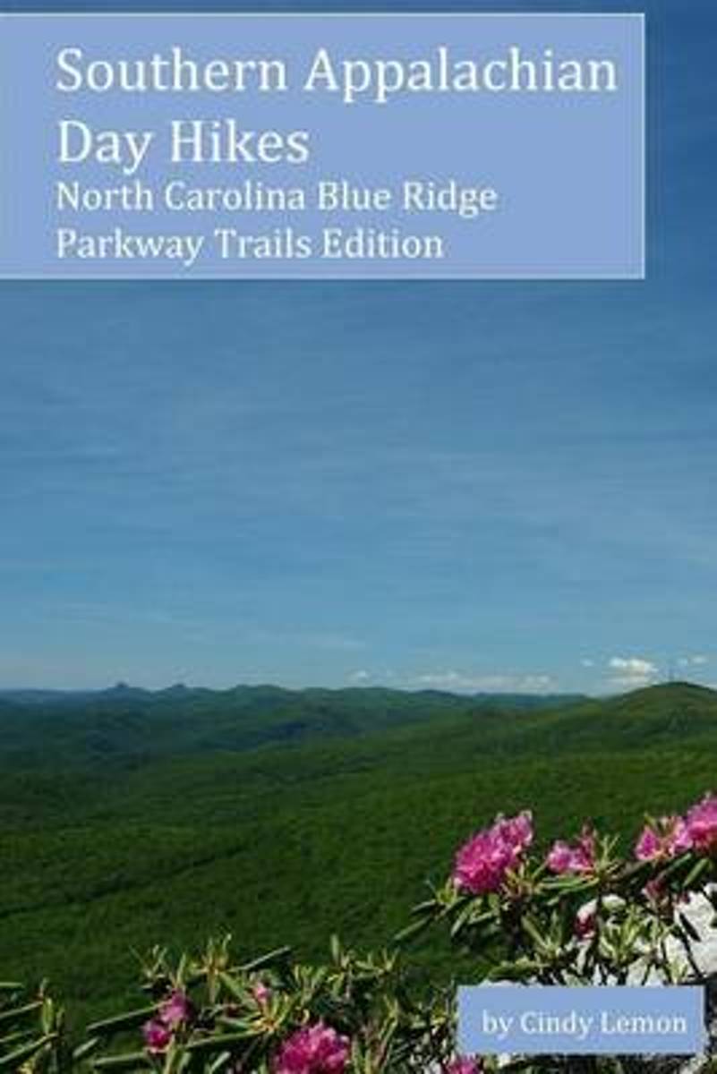
- Southern Appalachian Day Hikes
- Plan your outdoor hiking adventure with this invaluable and up-to-date guide of day hikes within the North Carolina section of the Blue Ridge Parkway. This book provides details for over 30 hikes that can be completed in one day and providing a variety of what the Blue Ridge Parkway offers for the casual hiker. Read more
- Also available from:
- Bol.com, Belgium
Bol.com
Belgium
Belgium
- Southern Appalachian Day Hikes
- Plan your outdoor hiking adventure with this invaluable and up-to-date guide of day hikes within the North Carolina section of the Blue Ridge Parkway. This book provides details for over 30 hikes that can be completed in one day and providing a variety of what the Blue Ridge Parkway offers for the casual hiker. Read more

Bol.com
Netherlands
Netherlands
- The Longest Mile
- For nine days in early May, Ryan Watkins along with two brothers, Jeremy and Chris Jones, backpack the world-famous Appalachian Trail through the Great Smoky Mountains National Park. From his very first steps into the Smokies, Ryan quickly learns the seventy-mile stretch of trail is far more difficult than he ever imagined.The trio battles... Read more
- Also available from:
- Bol.com, Belgium
- The Book Depository, United Kingdom
Bol.com
Belgium
Belgium
- The Longest Mile
- For nine days in early May, Ryan Watkins along with two brothers, Jeremy and Chris Jones, backpack the world-famous Appalachian Trail through the Great Smoky Mountains National Park. From his very first steps into the Smokies, Ryan quickly learns the seventy-mile stretch of trail is far more difficult than he ever imagined.The trio battles... Read more

Bol.com
Netherlands
Netherlands
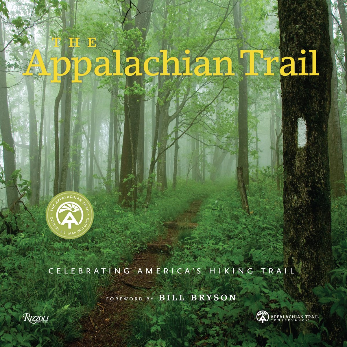
- The Appalachian Trail
- The only illustrated book officially published with the Appalachian Trail Conservancy, The Appalachian Trail explores this legendary footpath in detail: with a foreword by Bill Bryson and filled with more than 300 spectacular contemporary images, as well as unpublished historical photos, documents, and maps from the ATC archives. Once inspired... Read more
- Also available from:
- Bol.com, Belgium
- The Book Depository, United Kingdom
Bol.com
Belgium
Belgium
- The Appalachian Trail
- The only illustrated book officially published with the Appalachian Trail Conservancy, The Appalachian Trail explores this legendary footpath in detail: with a foreword by Bill Bryson and filled with more than 300 spectacular contemporary images, as well as unpublished historical photos, documents, and maps from the ATC archives. Once inspired... Read more

Kaarten
De Zwerver
Netherlands
Netherlands
De Zwerver
Netherlands
Netherlands
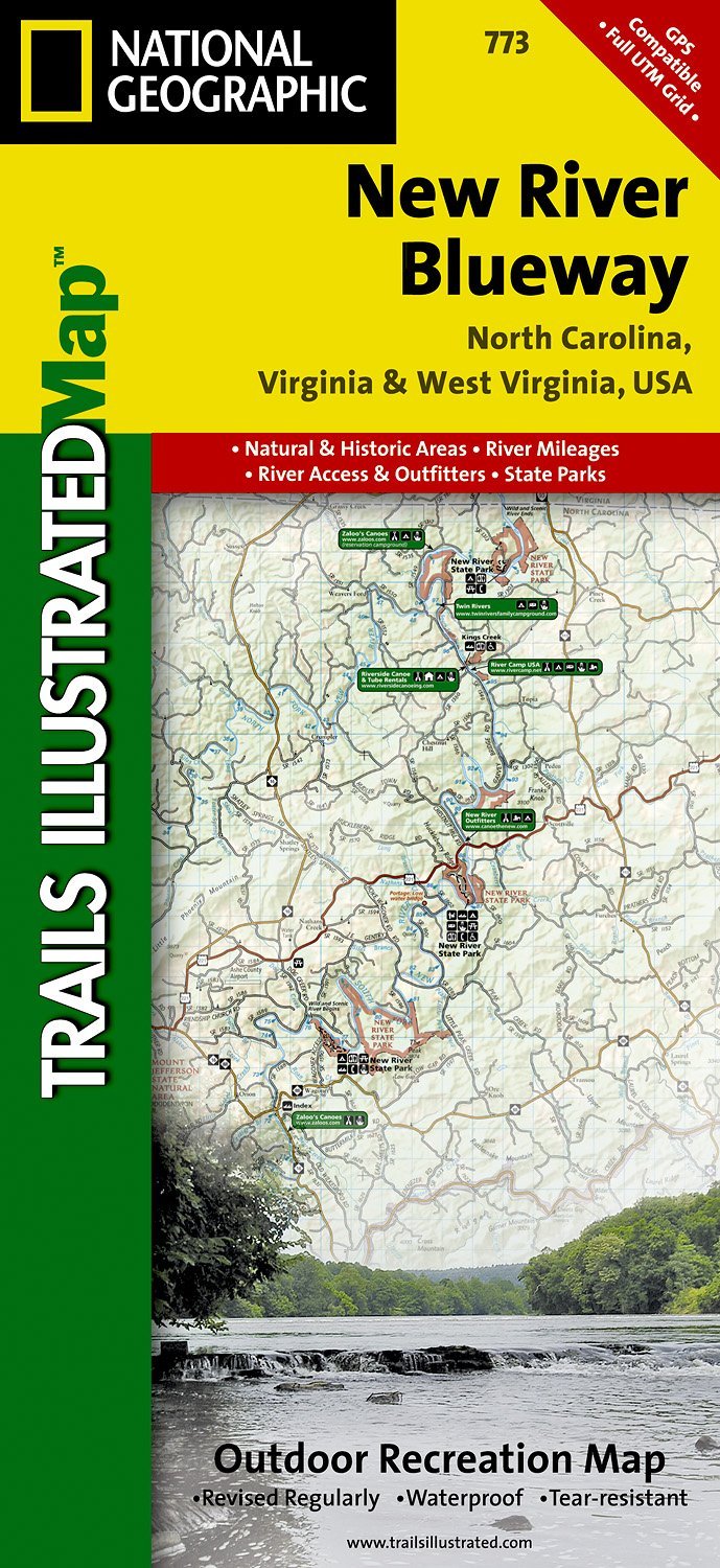
- Wandelkaart - Topografische kaart 773 New River Blueway | National Geographic
- Prachtige geplastificeerde kaart van het bekende nationaal park. Met alle recreatieve voorzieningen als campsites, maar ook met topografische details en wandelroutes ed. Door uitgekiend kleurgebruik zeer prettig in gebruik. Scheur en watervast! George Washington Nat. Forest, Jefferson Nat. Forest, New River Canoe Trail, Claytor Lake State Park,... Read more
- Also available from:
- Stanfords, United Kingdom

Stanfords
United Kingdom
United Kingdom
- New River Blueway NC/VA/WV
- Map No. 773, New River Blueway, NC/VA/WV, in an extensive series of GPS compatible, contoured hiking maps of USA’s national and state parks or forests and other popular recreational areas. Cartography based on the national topographic survey, with additional tourist information.The maps, with most titles now printed on light, waterproof and... Read more
De Zwerver
Netherlands
Netherlands
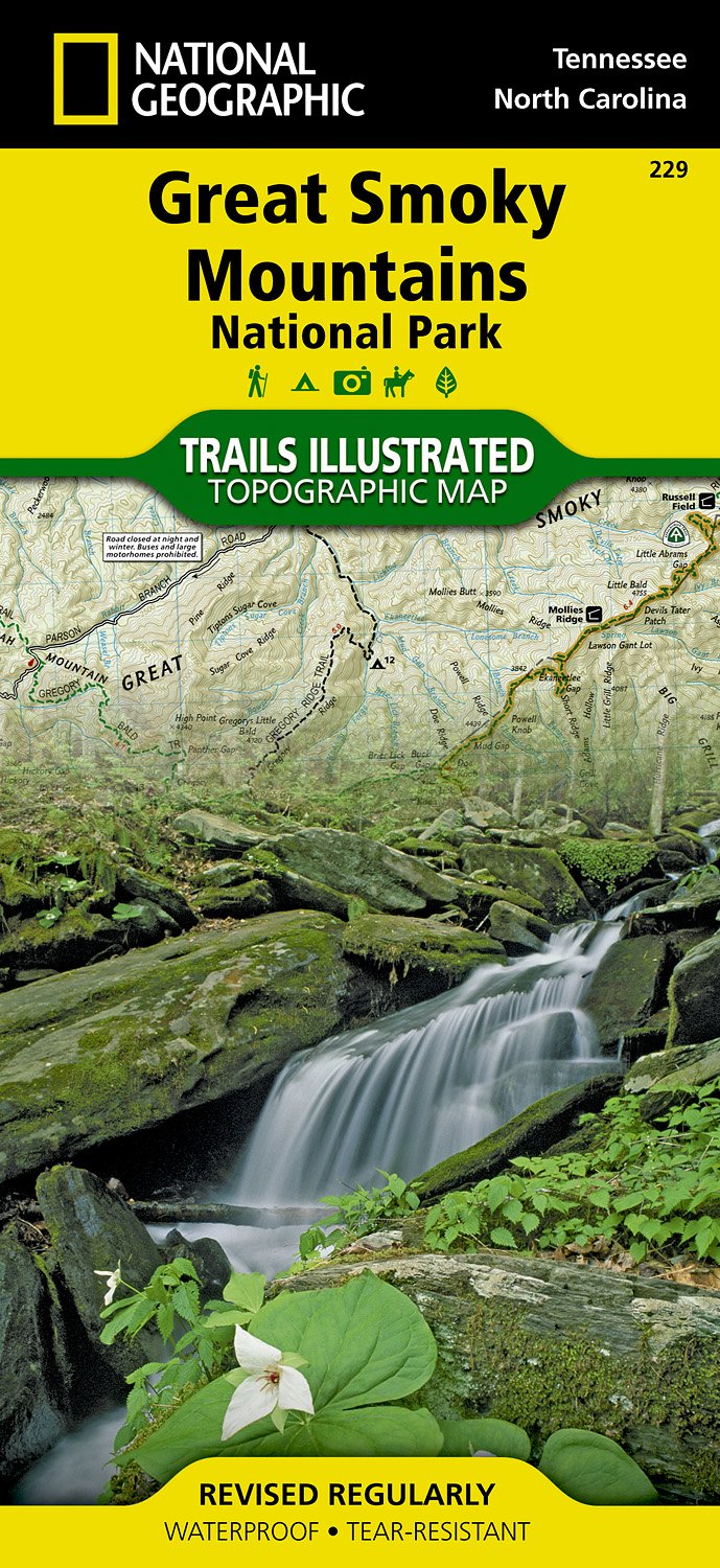
- Wandelkaart 229 Great Smoky Mountains National Park | National Geographic
- Prachtige geplastificeerde kaart van het bekende nationaal park. Met alle recreatieve voorzieningen als campsites, maar ook met topografische details en wandelroutes ed. Door uitgekiend kleurgebruik zeer prettig in gebruik. Scheur en watervast! Map No. 229, Great Smoky Mountains National Park, TN, in an extensive series of GPS compatible,... Read more
- Also available from:
- Bol.com, Netherlands
- Bol.com, Belgium
- Stanfords, United Kingdom
Bol.com
Netherlands
Netherlands
- Great Smoky Mountains National Park
- Waterproof Tear-Resistant Topographic MapAmerica's most visited national park and a UNESCO World Heritage Site, Great Smoky Mountains National Park is both renowned for its diversity of plant and animal life and rich in remnants of Southern Appalachian mountain culture. National Geographic's Trails Illustrated map of the park combines... Read more
Bol.com
Belgium
Belgium
- Great Smoky Mountains National Park
- Waterproof Tear-Resistant Topographic MapAmerica's most visited national park and a UNESCO World Heritage Site, Great Smoky Mountains National Park is both renowned for its diversity of plant and animal life and rich in remnants of Southern Appalachian mountain culture. National Geographic's Trails Illustrated map of the park combines... Read more

Stanfords
United Kingdom
United Kingdom
- Great Smoky Mountains National Park TN NGS Trails Illustrated Map 229
- Map No. 229, Great Smoky Mountains National Park, TN, in an extensive series of GPS compatible, contoured hiking maps of USA’s national and state parks or forests and other popular recreational areas. Cartography based on the national topographic survey, with additional tourist information.The maps, with most titles now printed on light,... Read more

De Zwerver
Netherlands
Netherlands
- Wandelkaart - Topografische kaart 747 Green Mountain National Forest North - Moosalamoo NRA - Rutland | National Geographic
- Prachtige geplastificeerde kaart van het bekende nationaal park. Met alle recreatieve voorzieningen als campsites, maar ook met topografische details en wandelroutes ed. Door uitgekiend kleurgebruik zeer prettig in gebruik. Scheur en watervast! National Geographic's Green Mountain National Forest North Trails Illustrated topographic map is... Read more
- Also available from:
- Bol.com, Netherlands
- Bol.com, Belgium
- Stanfords, United Kingdom
- The Book Depository, United Kingdom

Bol.com
Netherlands
Netherlands
- Green Mountains N.F., Moosalamoo NRA/Rutland
- Waterproof Tear-Resistant Topographic MapNational Geographic's Green Mountain National Forest North Trails Illustrated topographic map is the most comprehensive available for outdoor enthusiasts of all types. Designed to be easy-to-read, yet highly detailed this map includes a comprehensive road and trail network distinguishing between... Read more
Bol.com
Belgium
Belgium
- Green Mountains N.F., Moosalamoo NRA/Rutland
- Waterproof Tear-Resistant Topographic MapNational Geographic's Green Mountain National Forest North Trails Illustrated topographic map is the most comprehensive available for outdoor enthusiasts of all types. Designed to be easy-to-read, yet highly detailed this map includes a comprehensive road and trail network distinguishing between... Read more

Stanfords
United Kingdom
United Kingdom
- Green Mountain National Forest - Moosalamoo NRA - Rutland VT
- Map No. 747, Green Mountain National Forest: Moosalamoo NRA - Rutland area in Vermont, in an extensive series of GPS compatible, contoured hiking maps of USA’s national and state parks or forests and other popular recreational areas. Cartography based on the national topographic survey, with additional tourist information.The maps, with most... Read more

The Book Depository
United Kingdom
United Kingdom
- Green Mountains N.f., Moosalamoo Nra/rutland
- Trails Illustrated Other Rec. Areas Read more

De Zwerver
Netherlands
Netherlands
- Wandelkaart - Topografische kaart 316 Cades Cove - Elkmont - Great Smoky Mountains National Park | National Geographic
- Prachtige geplastificeerde kaart van het bekende nationaal park. Met alle recreatieve voorzieningen als campsites, maar ook met topografische details en wandelroutes ed. Door uitgekiend kleurgebruik zeer prettig in gebruik. Scheur en watervast! This title provides an increased scale of one of the most visited National Parks in the US, and one... Read more
- Also available from:
- Bol.com, Netherlands
- Bol.com, Belgium
- Stanfords, United Kingdom

Bol.com
Netherlands
Netherlands
- Cades Cove/elkmont, Great Smoky Mountains National Park
- Waterproof Tear-Resistant Topographic MapThis title provides an increased scale of one of the most visited National Parks in the US, and one of our more popular map titles. This increased scale will provide greater detail to the backcountry users and Appalachian Trail through-hikers.Park Introduction:Great Smoky Mountains National Park is... Read more
Bol.com
Belgium
Belgium
- Cades Cove/elkmont, Great Smoky Mountains National Park
- Waterproof Tear-Resistant Topographic MapThis title provides an increased scale of one of the most visited National Parks in the US, and one of our more popular map titles. This increased scale will provide greater detail to the backcountry users and Appalachian Trail through-hikers.Park Introduction:Great Smoky Mountains National Park is... Read more

Stanfords
United Kingdom
United Kingdom
- Cades Cove - Elkmont - Great Smoky Mountains National Park NC/TN
- Map No. 316, Great Smoky Mountains National Park: Cades Cove - Elkmont, NC/TN, in an extensive series of GPS compatible, contoured hiking maps of USA’s national and state parks or forests and other popular recreational areas. Cartography based on the national topographic survey, with additional tourist information.The maps, with most titles now... Read more
De Zwerver
Netherlands
Netherlands
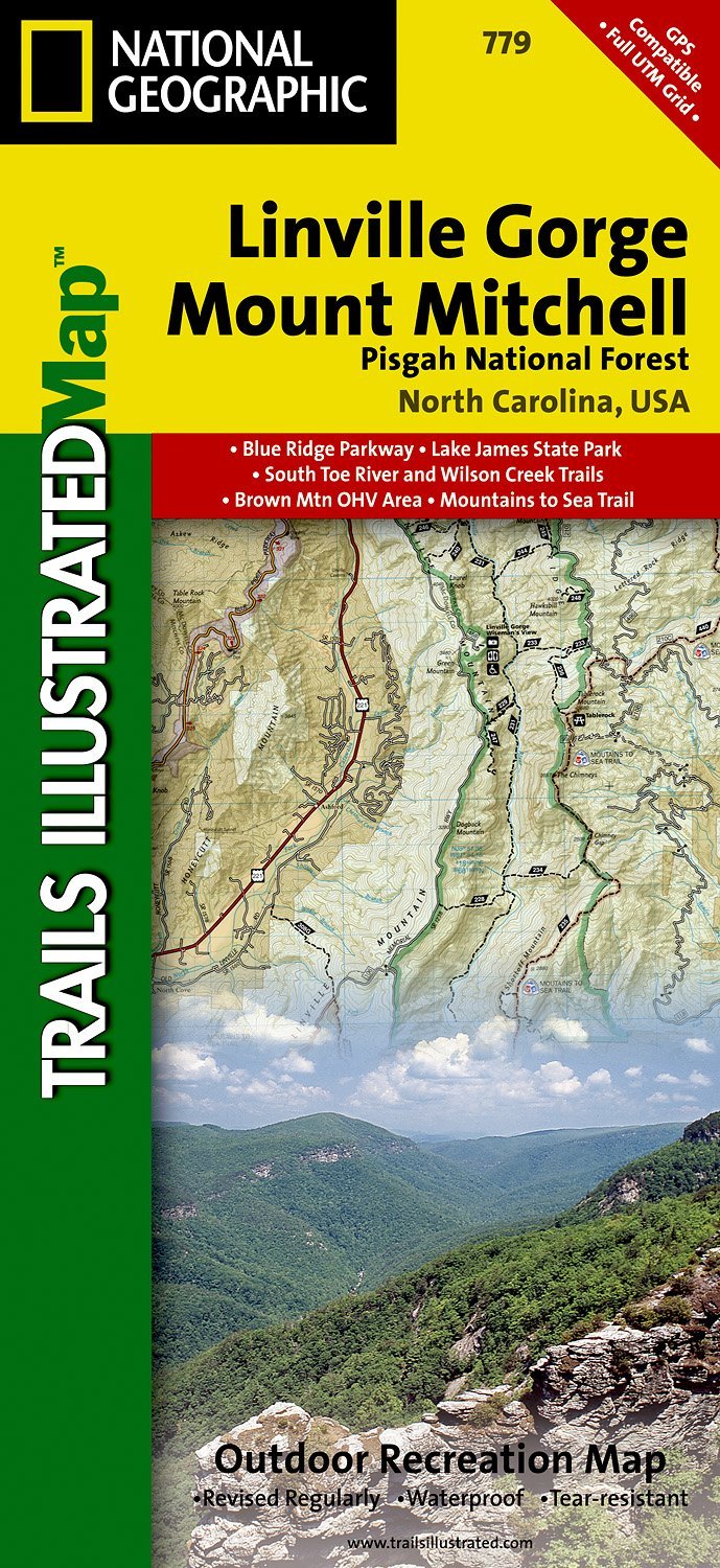
- Wandelkaart - Topografische kaart 779 Linville Gorge - Mount Mitchell - Pisgah National Forest | National Geographic
- Prachtige geplastificeerde kaart van het bekende nationaal park. Met alle recreatieve voorzieningen als campsites, maar ook met topografische details en wandelroutes ed. Door uitgekiend kleurgebruik zeer prettig in gebruik. Scheur en watervast! Coverage includes Pisgah National Forest, Grandfather Ranger District (complete) and Appalachian... Read more
- Also available from:
- Bol.com, Netherlands
- Bol.com, Belgium
- Stanfords, United Kingdom
- The Book Depository, United Kingdom
Bol.com
Netherlands
Netherlands
- Linville Gorge/mount Mitchell, Pisgah National Forest
- Waterproof Tear-Resistant Topographic MapExpertly researched and created in partnership with local land management agencies, National Geographic's Trails Illustrated map of Linville Gorge and Mount Mitchell provides an unparalleled tool for exploring these remarkable features within Pisgah National Forest. This map includes such key areas... Read more
Bol.com
Belgium
Belgium
- Linville Gorge/mount Mitchell, Pisgah National Forest
- Waterproof Tear-Resistant Topographic MapExpertly researched and created in partnership with local land management agencies, National Geographic's Trails Illustrated map of Linville Gorge and Mount Mitchell provides an unparalleled tool for exploring these remarkable features within Pisgah National Forest. This map includes such key areas... Read more

Stanfords
United Kingdom
United Kingdom
- Pisgah National Forest - Linville Gorge - Mt. Mitchell NC
- Map No. 779, Pisgah National Forest: Linville Gorge - Mt. Mitchell, NC, in an extensive series of GPS compatible, contoured hiking maps of USA’s national and state parks or forests and other popular recreational areas. Cartography based on the national topographic survey, with additional tourist information.The maps, with most titles now... Read more

The Book Depository
United Kingdom
United Kingdom
- Linville Gorge/mount Mitchell, Pisgah National Forest
- Trails Illustrated Other Rec. Areas Read more

Bol.com
Netherlands
Netherlands
- Springer & Cohutta Mountains, Chattahoochee National Forest
- Waterproof Tear-Resistant Topographic MapLocated just north of Atlanta, the Chattahoochee National Forest contains the southern terminus of the Appalachian Trail along with an abundance of recreational opportunities for outdoor enthusiasts of all interests.This detailed recreation map contains carefully researched trails, campsites,... Read more
- Also available from:
- Bol.com, Belgium
- Stanfords, United Kingdom
Bol.com
Belgium
Belgium
- Springer & Cohutta Mountains, Chattahoochee National Forest
- Waterproof Tear-Resistant Topographic MapLocated just north of Atlanta, the Chattahoochee National Forest contains the southern terminus of the Appalachian Trail along with an abundance of recreational opportunities for outdoor enthusiasts of all interests.This detailed recreation map contains carefully researched trails, campsites,... Read more

Stanfords
United Kingdom
United Kingdom
- Chattahoochee National Forest - Springer and Cohutta Mountains GA/SC 777
- Map No. 777, Chattahoochee National Forest: Springer and Cohutta Mountains, GA/SC, in an extensive series of GPS compatible, contoured hiking maps of USA’s national and state parks or forests and other popular recreational areas. Cartography based on the national topographic survey, with additional tourist information.The maps, with most titles... Read more

De Zwerver
Netherlands
Netherlands
- Wandelkaart - Topografische kaart 318 Mount Rogers High Country - Grayson Highlands State Park | National Geographic
- Prachtige geplastificeerde kaart van het bekende nationaal park. Met alle recreatieve voorzieningen als campsites, maar ook met topografische details en wandelroutes ed. Door uitgekiend kleurgebruik zeer prettig in gebruik. Scheur en watervast! National Geographic's Trails Illustrated map of Mount Rogers High Country and Grayson Highlands... Read more
- Also available from:
- Bol.com, Netherlands
- Bol.com, Belgium
- Stanfords, United Kingdom
- The Book Depository, United Kingdom

Bol.com
Netherlands
Netherlands
- Mount Rogers High Country
- Waterproof Tear-Resistant Topographic MapNational Geographic's Trails Illustrated map of Mount Rogers High Country and Grayson Highlands State Park, Southwest Virginia, is a two-sided, waterproof, topographic trail map designed to meet the needs of outdoor enthusiasts with unmatched durability and detail. This map was created in... Read more
Bol.com
Belgium
Belgium
- Mount Rogers High Country
- Waterproof Tear-Resistant Topographic MapNational Geographic's Trails Illustrated map of Mount Rogers High Country and Grayson Highlands State Park, Southwest Virginia, is a two-sided, waterproof, topographic trail map designed to meet the needs of outdoor enthusiasts with unmatched durability and detail. This map was created in... Read more

Stanfords
United Kingdom
United Kingdom
- Mount Rogers High Country VA
- Map No. 318 - Mount Rogers High Country in Virginia in an extensive series of GPS compatible, contoured hiking maps of USA’s national and state parks or forests and other popular recreational areas. Cartography based on the national topographic survey, with additional tourist information.The maps, with most titles now printed on light,... Read more

The Book Depository
United Kingdom
United Kingdom
- Mount Rogers High Country
- Trails Illustrated Other Rec. Areas Read more