Champagne-Ardenne
Beschrijving
Region in the North of France, bordering on Belgium.
Paden in deze regio
Links
Feiten
Verslagen
Gidsen en kaarten
Overnachting
Organisaties
Reisorganisaties
GPS
Anders
Boeken
De Zwerver
Netherlands
Netherlands
De Zwerver
Netherlands
2023
Netherlands
2023
De Zwerver
Netherlands
2018
Netherlands
2018
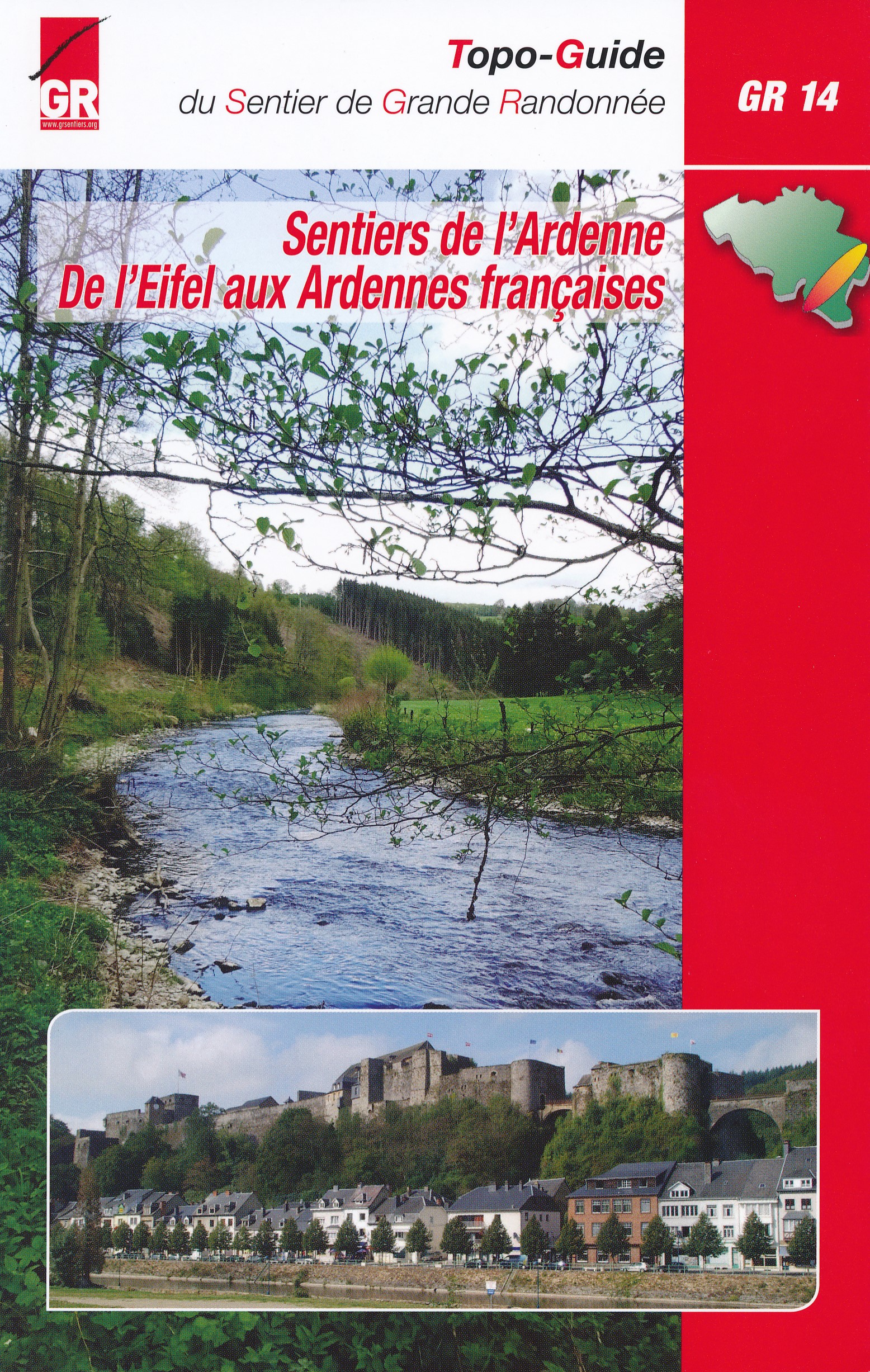
- Wandelgids GR14 Sentier de l'Ardenne | GR Sentiers
- GR 14 neemt je mee door uitgestrekte bossen; loopt langs betoverende rivieren zoals de Warche, Amblève; Liene, Ourthe, Lesse en de Semois en doet typische dorpjes en charmante kleine steden aan zoals Stavelot, Trois-Ponts, Lierneux, La Roche, Saint-Hubert enBouillon. De route is een onuitputtelijke bron van ontdekkingen voor de wandelaar die... Read more

De Zwerver
Netherlands
2014
Netherlands
2014
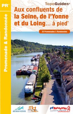
- Wandelgids P774 Aux confluents de la Seine, de l'Yonne et du Loing... à pied | FFRP
- Uitstekende routegids met gedetailleerde kaarten en een routebeschrijving. Fout lopen wordt op deze manier wel erg moeilijk. Met symbolen is weergegeven welke voorzieningen (openbaar vervoer / winkels / overnachtingen) er zijn langs of bij de route. Een nadeel is dat de daadwerkelijke adressen dan weer niet altijd genoemd worden. Alle gidsen... Read more
- Also available from:
- Stanfords, United Kingdom

Stanfords
United Kingdom
2014
United Kingdom
2014
- Aux confluents de la Seine, de l`Yonne et du Loing à pied FFRP Topo-guide No. P774
- Aux confluents de la Seine, de l`Yonne et du Loing à pied, FFRP topo-guide Ref. No. P774, with 33 day walks of varying length and difficulty around the confluence of these three rivers, just east of the Fontainebleau Forest. Each walk is presented on a separate colour extract from IGN’s topographic survey of France at 1:25,000, with its... Read more

De Zwerver
Netherlands
2015
Netherlands
2015
- Wandelgids 6543 Sentier vers Saint-Jacques-de-Compostelle via Vezelay : Périgueux - Roncevaux - GR654 | FFRP
- Guide FFRandonnée Sentier vers St-Jacques-de-Compostelle : Périgueux-Ronceveaux. GR 654. Voie de Vézelay vers Compostelle : suite de l'itinéraire décrit dans le topo-guide réf. 6542 'Sentier vers St-Jacques-de-Compostelle : Vézelay-Périgueux'.Passé le seuil du Périgord blanc,... Read more
- Also available from:
- Stanfords, United Kingdom

Stanfords
United Kingdom
2015
United Kingdom
2015
- GR654 Sentier St-Jacques: Perigueux - Roncevaux FFRP Topo-guide No. 6543
- Sentier St-Jacques: Perigueux - Roncevaux, FFRP topoguide Ref. no. 6543, covering the second part of the Way of St James route along the GR654 which starts in Vézelay, the section from Perigueux to the Pyrenees. Also covered is an eastern route from Bergerac to Montréal-de-Gers. Current edition of this title was published in June 2014.ABOUT THE... Read more
De Zwerver
Netherlands
2019
Netherlands
2019
De Zwerver
Netherlands
2018
Netherlands
2018

De Zwerver
Netherlands
2017
Netherlands
2017
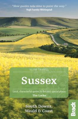
- Reisgids Slow Travel Sussex - South Downs - Weald & Coast | Bradt Travel Guides
- This new, thoroughly updated edition of Bradt`s much-praised guide to Sussex, including the South Downs, Eastern Weald and Coast offers a greater and more personal selection of places to explore and discover than any other guide. Resident expert author Tim Locke takes a leisurely, detailed approach that is highly personal, honest and critical,... Read more
- Also available from:
- Stanfords, United Kingdom
Stanfords
United Kingdom
2017
United Kingdom
2017
- Sussex (Slow Travel) Bradt Guide
- This new, thoroughly updated edition of Bradt`s much-praised guide to Sussex, including the South Downs, Eastern Weald and Coast offers a greater and more personal selection of places to explore and discover than any other guide. Resident expert author Tim Locke takes a leisurely, detailed approach that is highly personal, honest and critical,... Read more
De Zwerver
Netherlands
2014
Netherlands
2014
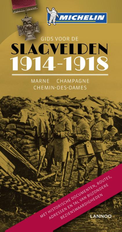
- Reisgids Gids voor de Slagvelden 1914-1918 Marne - Champagne - Chemin des Dames | Lannoo
- Op zoek naar de plaatsen waar de Eerste Wereldoorlog werd uitgevochten Een eeuw geleden brak Wereldoorlog I uit: een conflict dat al snel heel de wereld in zijn greep hield en finaal een keerpunt in de wereldgeschiedenis betekende. - 1917 - Terwijl de kanonnen nog bulderen beslist André Michelin een reeks geïllustreerde gidsen over de... Read more
De Zwerver
Netherlands
2023
Netherlands
2023
De Zwerver
Netherlands
Netherlands
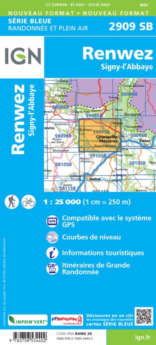
- Wandelkaart - Topografische kaart 2909SB Renwez-Signy, L'Abbaye | IGN - Institut Géographique National
- L'indispensable carte de randonnée IGN aux alentours de Renwez - Signy-L'Abbaye. A conserver dans son sac à dos. Read more
- Also available from:
- Stanfords, United Kingdom

Stanfords
United Kingdom
United Kingdom
- Renwez - Signy-l`Abbaye IGN 25K Série Bleue Map 2909SB
- Topographic survey of France at 1:25,000 in IGN`s excellent TOP25 / Série Bleue series. All the maps are GPS compatible, with a 1km UTM grid plus latitude and longitude lines at 5’ intervals. Contours are at 5m intervals except for mountainous areas where the maps have contours at 10m intervals, vividly enhanced by hill shading and graphics for... Read more
De Zwerver
Netherlands
Netherlands
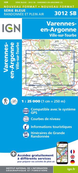
- Topografische kaart - Wandelkaart 3012SB Varennes-en-Argonne | IGN - Institut Géographique National
- L'indispensable carte de randonnée IGN. A conserver dans son sac à dos Read more
- Also available from:
- Stanfords, United Kingdom

Stanfords
United Kingdom
United Kingdom
- Varennes-en-Argonne - Ville-sur-Tourbe IGN 3012SB
- Topographic survey of France at 1:25,000 in IGN`s excellent TOP25 / Série Bleue series. All the maps are GPS compatible, with a 1km UTM grid plus latitude and longitude lines at 5’ intervals. Contours are at 5m intervals except for mountainous areas where the maps have contours at 10m intervals, vividly enhanced by hill shading and graphics for... Read more
De Zwerver
Netherlands
Netherlands
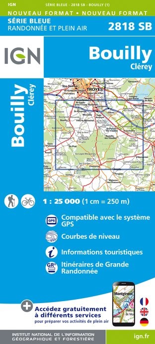
- Topografische kaart - Wandelkaart 2818SB Bouilly | IGN - Institut Géographique National
- L'indispensable carte de randonnée IGN aux alentours de Bouilly/Clérey. A conserver dans son sac à dos Read more
- Also available from:
- Stanfords, United Kingdom

Stanfords
United Kingdom
United Kingdom
- Bouilly - Clerey IGN 2818SB
- Topographic survey of France at 1:25,000 in IGN`s excellent TOP25 / Série Bleue series. All the maps are GPS compatible, with a 1km UTM grid plus latitude and longitude lines at 5’ intervals. Contours are at 5m intervals except for mountainous areas where the maps have contours at 10m intervals, vividly enhanced by hill shading and graphics for... Read more
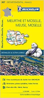
Kaarten
De Zwerver
Netherlands
Netherlands
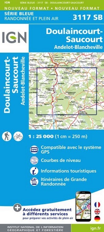
- Wandelkaart - Topografische kaart 3117SB Doulaincourt, Saucourt, Andelot-Blancheville | IGN - Institut Géographique National
- Topographic survey of France at 1:25,000 in IGN's excellent TOP25 / S Read more
- Also available from:
- Stanfords, United Kingdom

Stanfords
United Kingdom
United Kingdom
- Doulaincourt-Saucourt - Andelot-Blancheville IGN 3117SB
- Topographic survey of France at 1:25,000 in IGN`s excellent TOP25 / Série Bleue series. All the maps are GPS compatible, with a 1km UTM grid plus latitude and longitude lines at 5’ intervals. Contours are at 5m intervals except for mountainous areas where the maps have contours at 10m intervals, vividly enhanced by hill shading and graphics for... Read more
De Zwerver
Netherlands
Netherlands
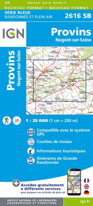
- Wandelkaart - Topografische kaart 2616SB Provins | IGN - Institut Géographique National
- Topographic survey of France at 1:25,000 in IGN`s excellent TOP25 / S�rie Bleue series. All the maps are GPS compatible, with a 1km UTM grid plus latitude and longitude lines at 5� intervals. Contours are at 5m intervals except for mountainous areas where the maps have contours at 10m intervals, vividly enhanced by hill shading and graphics for ... Read more
- Also available from:
- Stanfords, United Kingdom

Stanfords
United Kingdom
United Kingdom
- Provins - Nogent-sur-Seine IGN 2616SB
- Topographic survey of France at 1:25,000 in IGN`s excellent TOP25 / Série Bleue series. All the maps are GPS compatible, with a 1km UTM grid plus latitude and longitude lines at 5’ intervals. Contours are at 5m intervals except for mountainous areas where the maps have contours at 10m intervals, vividly enhanced by hill shading and graphics for... Read more
De Zwerver
Netherlands
Netherlands
- Also available from:
- Stanfords, United Kingdom

Stanfords
United Kingdom
United Kingdom
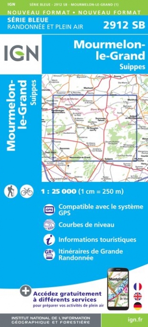
- Mourmelon-le-Grand - Suippes IGN 2912SB
- Topographic survey of France at 1:25,000 in IGN`s excellent TOP25 / Série Bleue series. All the maps are GPS compatible, with a 1km UTM grid plus latitude and longitude lines at 5’ intervals. Contours are at 5m intervals except for mountainous areas where the maps have contours at 10m intervals, vividly enhanced by hill shading and graphics for... Read more
De Zwerver
Netherlands
Netherlands
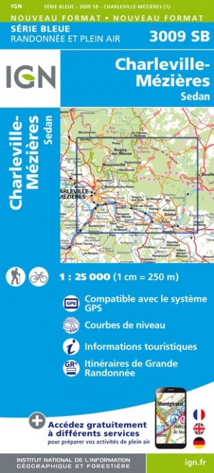
- Wandelkaart - Topografische kaart 3009SB Charleville-Mézières | IGN - Institut Géographique National
- Topographic survey of France at 1:25,000 in IGN`s excellent TOP25 / Série Bleue series. All the maps are GPS compatible, with a 1km UTM grid plus latitude and longitude lines at 5’ intervals. Contours are at 5m intervals except for mountainous areas where the maps have contours at 10m intervals, vividly enhanced by hill shading and graphics for... Read more
- Also available from:
- Stanfords, United Kingdom

Stanfords
United Kingdom
United Kingdom
- Charleville-Mezieres - Sedan IGN 25K Série Bleue Map 3009SB
- Topographic survey of France at 1:25,000 in IGN`s excellent TOP25 / Série Bleue series. All the maps are GPS compatible, with a 1km UTM grid plus latitude and longitude lines at 5’ intervals. Contours are at 5m intervals except for mountainous areas where the maps have contours at 10m intervals, vividly enhanced by hill shading and graphics for... Read more
De Zwerver
Netherlands
Netherlands
- Also available from:
- Stanfords, United Kingdom

Stanfords
United Kingdom
United Kingdom
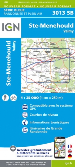
- Ste-Menehould - Valmy IGN 3013SB
- Topographic survey of France at 1:25,000 in IGN`s excellent TOP25 / Série Bleue series. All the maps are GPS compatible, with a 1km UTM grid plus latitude and longitude lines at 5’ intervals. Contours are at 5m intervals except for mountainous areas where the maps have contours at 10m intervals, vividly enhanced by hill shading and graphics for... Read more
De Zwerver
Netherlands
Netherlands
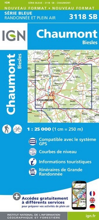
- Wandelkaart - Topografische kaart 3118SB Chaumont, Biesles | IGN - Institut Géographique National
- Topographic survey of France at 1:25,000 in IGN's excellent TOP25 / S Read more
- Also available from:
- Stanfords, United Kingdom

Stanfords
United Kingdom
United Kingdom
- Chaumont - Biesles IGN 3118SB
- Topographic survey of France at 1:25,000 in IGN`s excellent TOP25 / Série Bleue series. All the maps are GPS compatible, with a 1km UTM grid plus latitude and longitude lines at 5’ intervals. Contours are at 5m intervals except for mountainous areas where the maps have contours at 10m intervals, vividly enhanced by hill shading and graphics for... Read more
De Zwerver
Netherlands
Netherlands
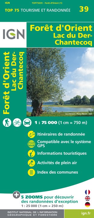
- Wandelkaart - Fietskaart 39 Forêt d'Orient, Lac du Der-Chantecoq | IGN - Institut Géographique National
- Une carte générale de très grande lisibilité au 1/75 000 + 5 extraits de TOP25 au 1/25 000 en une seule carte ! Read more
- Also available from:
- Stanfords, United Kingdom

Stanfords
United Kingdom
United Kingdom
- Foret d`Orient - Lac du Der-Chantecoq IGN 75039
- Foret d`Orient - Lac du Der-Chantecoq area of southern Champagne between Troyes and St-Dizierin a series of GPS compatible, contoured TOP 75 maps at 1:75,000 from the IGN, highlighting local and long-distance hiking paths, cycling routes and sites for other recreational activities. Five large panels with IGN’s topographic mapping at 1:25,000... Read more

De Zwerver
Netherlands
Netherlands
- Historische Kaart Grande Guerre - Chemin des Dames 1917 | IGN - Institut Géographique National
- Nouveauté exclusive, incontournable pour le tourisme de mémoire.?Cartographie précise de la bataille du Chemin des Dames 1917.Du 15 avril au 2 novembre 2017 100ème Anniversaire de la bataille du Chemin des Dames Read more
- Also available from:
- Stanfords, United Kingdom

Stanfords
United Kingdom
United Kingdom
- Bataille du Chemin des Dames 1917 IGN Map
- IGN commemorates the centenary of the ”Battle of the Chemin des Dames 1917” with this 1: 75,000 scale map. It presents the front lines, memorial sites (memorials, military cemeteries, old defensive works, museums). Created in partnership with the Centenary Mission of the First World War and the Aisne Tourist Board, this map offers a legend and... Read more
De Zwerver
Netherlands
Netherlands
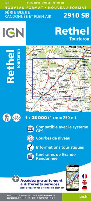
- Wandelkaart - Topografische kaart 2910SB Rethel - Tourteron | IGN - Institut Géographique National
- Topographic survey of France at 1:25,000 in IGN's excellent TOP25 / S Read more
- Also available from:
- Stanfords, United Kingdom

Stanfords
United Kingdom
United Kingdom
- Rethel - Tourteron IGN 25K Série Bleue Map 2910SB
- Topographic survey of France at 1:25,000 in IGN`s excellent TOP25 / Série Bleue series. All the maps are GPS compatible, with a 1km UTM grid plus latitude and longitude lines at 5’ intervals. Contours are at 5m intervals except for mountainous areas where the maps have contours at 10m intervals, vividly enhanced by hill shading and graphics for... Read more
De Zwerver
Netherlands
Netherlands
- Also available from:
- Stanfords, United Kingdom

Stanfords
United Kingdom
United Kingdom
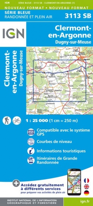
- Clermont-en-Argonne - Dugny-sur-Meuse IGN 3113SB
- Topographic survey of France at 1:25,000 in IGN`s excellent TOP25 / Série Bleue series. All the maps are GPS compatible, with a 1km UTM grid plus latitude and longitude lines at 5’ intervals. Contours are at 5m intervals except for mountainous areas where the maps have contours at 10m intervals, vividly enhanced by hill shading and graphics for... Read more
Meer kaarten…