
Corsica
Beschrijving

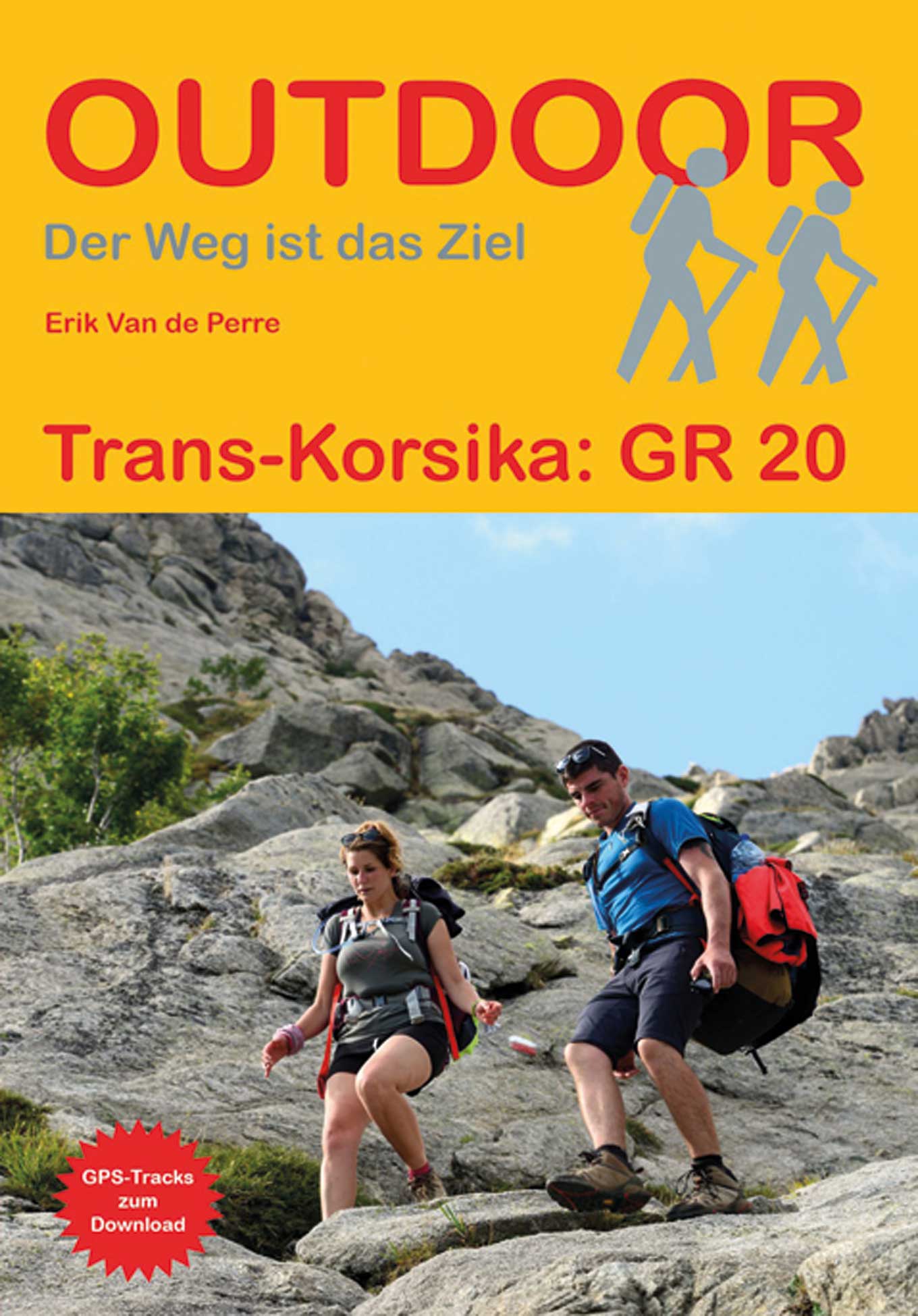
 destination in the Mediterranean, has good hiking possibilities. To start with, the GR20 is a challenging two weeks hike crossing the mountainous interior of the island. The GR20 is said to be the most difficult of the French Grand Randonnees, long distance hiking trails. For sure: it is very popular. Less challenging hikes take you across the island from coast to coast, passing rural areas and "maquis', dry shrub. These hikes are Mare a Mare Nord, Centre, Sud, and Mare e Monti.
A rewarding hiking destination is Li Pozzi, a mountain range not far from the GR20 in the south of the island.
Kaart

Paden in deze regio
Links
Feiten
Verslagen
Gidsen en kaarten
Overnachting
Organisaties
Reisorganisaties
GPS
Anders
Boeken
De Zwerver
Netherlands
2022
Netherlands
2022
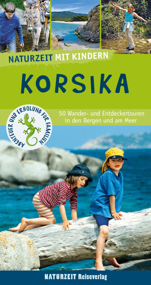
- Reisgids Korsika mit Kindern - Corsica | Naturzeit Reiseverlag
- Korsika mit Kindern ab 17.9 EURO 45 Wander- und Entdeckertouren für Familien Abenteuer und Erholung für Familien. 6. Auflage Read more
De Zwerver
Netherlands
2018
Netherlands
2018
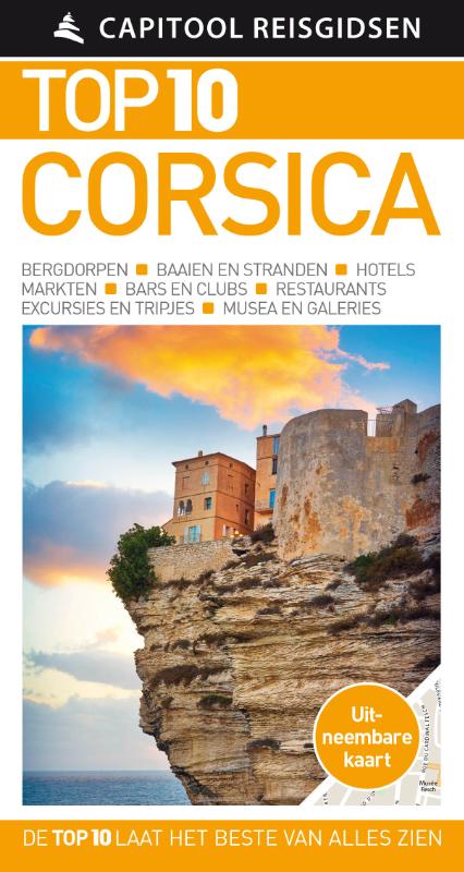
- Reisgids Capitool Top 10 Corsica | Unieboek
- De naam zegt het al: een compacte versie van de veel geprezen Capitool serie. Eigenlijk vergelijkbaar met veel illustraties, veel aandacht voor cultuur en bevolking en hier en daar praktische informatie. Kleine versie, handig in de binnenzak. Zon, zee en strand Of je nu wilt zwemmen in de azuurblauwe zee, een wandeltocht wilt maken door het... Read more
De Zwerver
Netherlands
2017
Netherlands
2017
De Zwerver
Netherlands
2014
Netherlands
2014
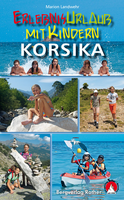
- Wandelgids - Reisgids Erlebnisurlaub mit Kindern - Korsika, Corsica | Rother Bergverlag
- 40 Wanderungen und Ausflüge. Mit GPS-Daten Rother Wanderbuch. 3., aktualisierte Auflage. Read more
De Zwerver
Netherlands
2016
Netherlands
2016
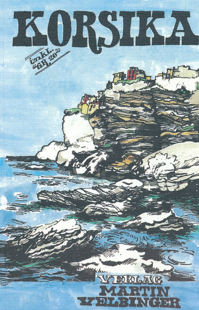
- Reisgids Korsika - Corsica | Martin Velbinger
- Unieke reisgids over dit gebied: tamelijk ouderwets uiterlijk en illustraties gaan gepaard met informatie van zeer hoge kwaliteit. Inhoudelijk een goede gids! Korsika – Eine Insel mit eigenem Charakter: Sonne, 1000 km Sandstrand und Felsküste; zerklüftetes Gebirgsland, einsame Flusstäler; Korkeichen, Zypressen, Feigen- und Olivenbäume. Wilde... Read more
Kaarten
De Zwerver
Netherlands
2017
Netherlands
2017
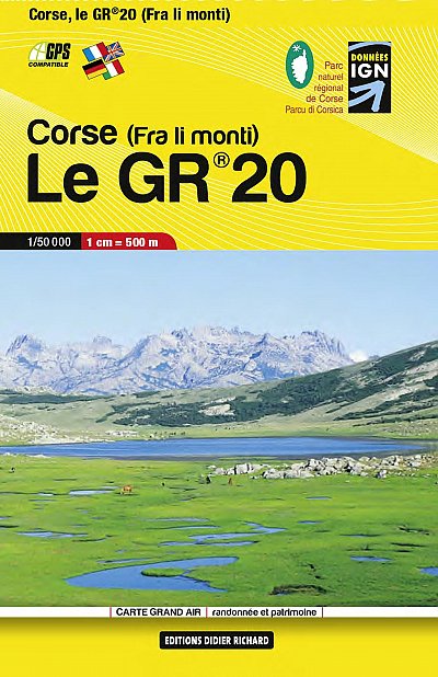
- Wandelkaart Le GR 20 - Corsica | Didier Richard
- GR 20 long-distance walking trail across the mountains of Corsica presented at 1:50,000 on a handy size, contoured and GPS compatible map from Didier Richard with a base derived from IGN Read more
De Zwerver
Netherlands
Netherlands
- Also available from:
- Stanfords, United Kingdom

Stanfords
United Kingdom
United Kingdom
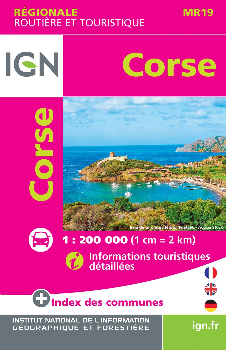
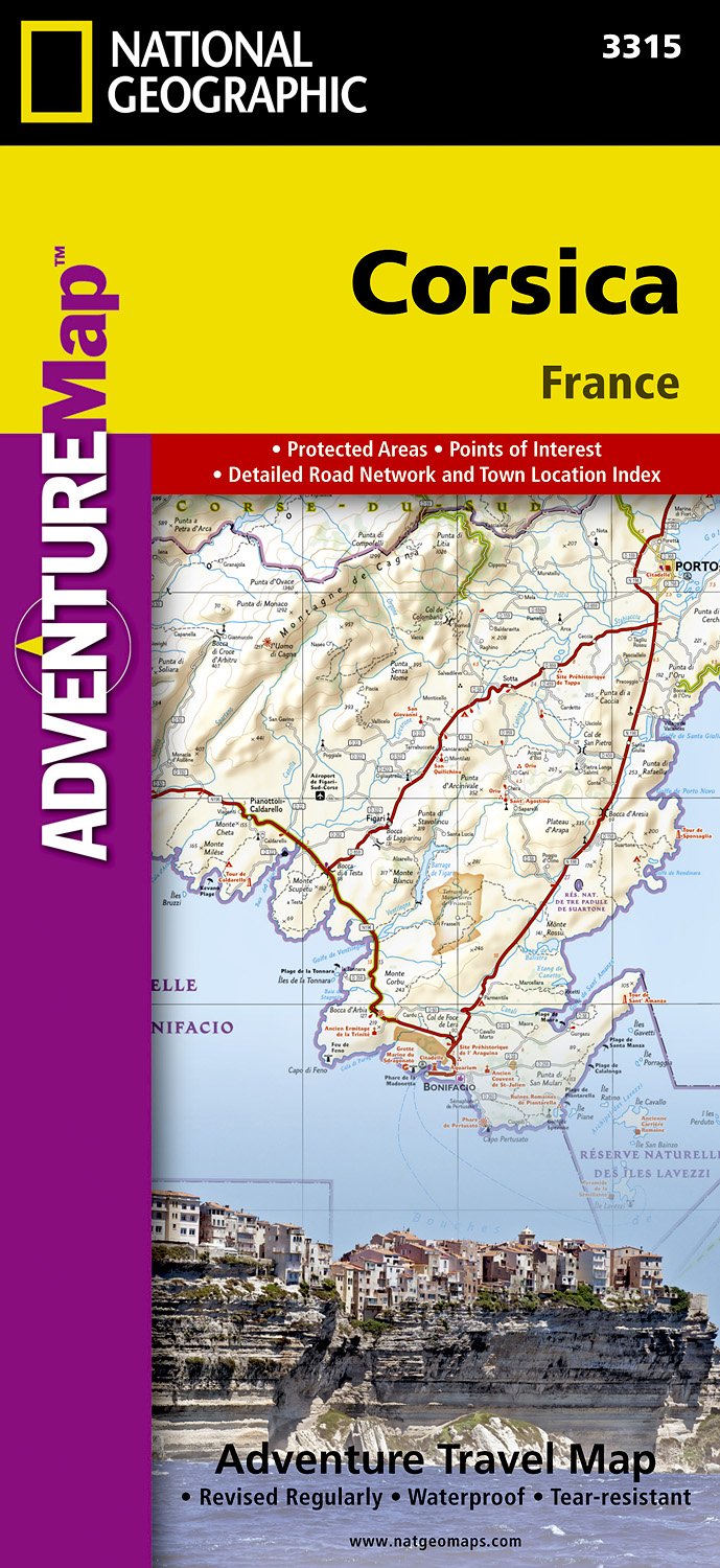
- Corsica IGN Mini Map MR19
- IGN publishes its new collection of regional maps including the official division of the 13 new regions. The largest regions are well represented on a single map. These maps are double sided and in 6 languages. Read more
De Zwerver
Netherlands
Netherlands
- Also available from:
- Stanfords, United Kingdom

Stanfords
United Kingdom
United Kingdom
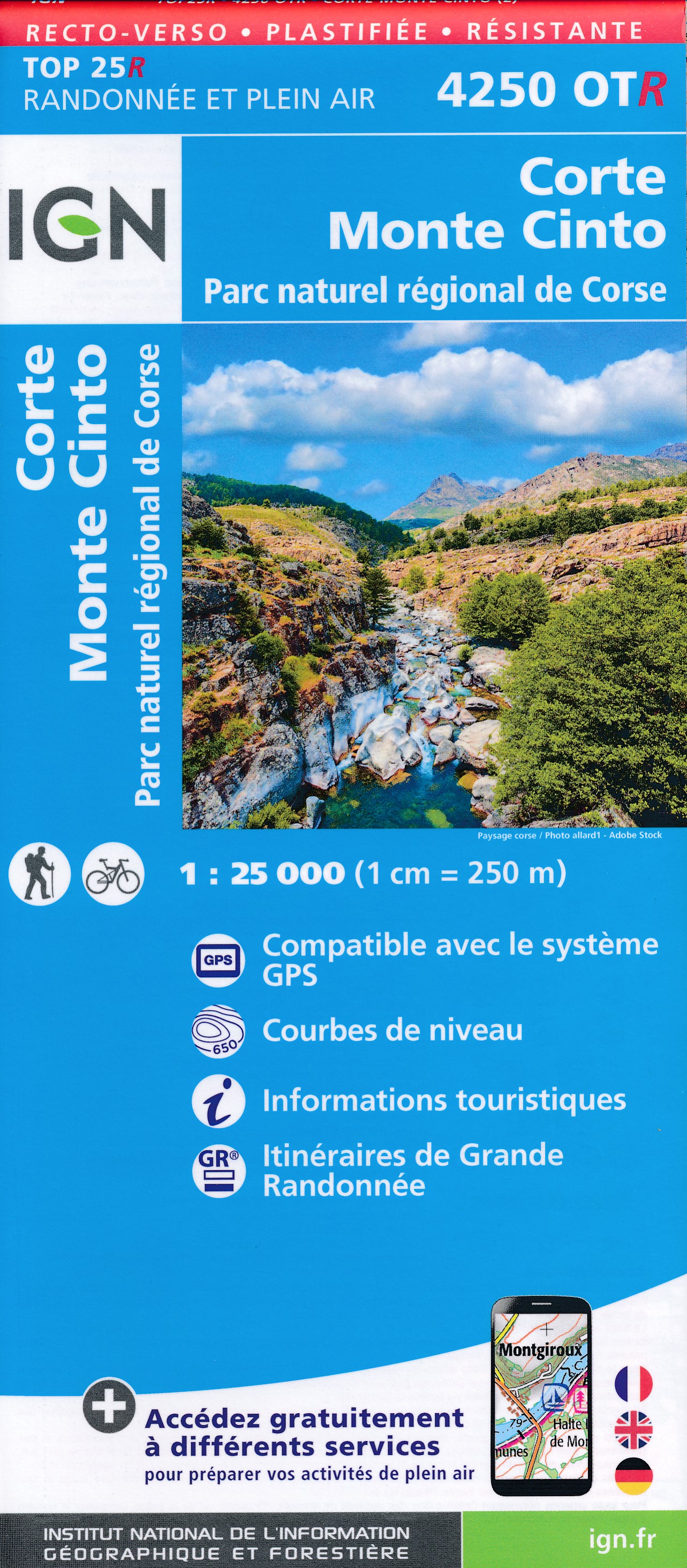
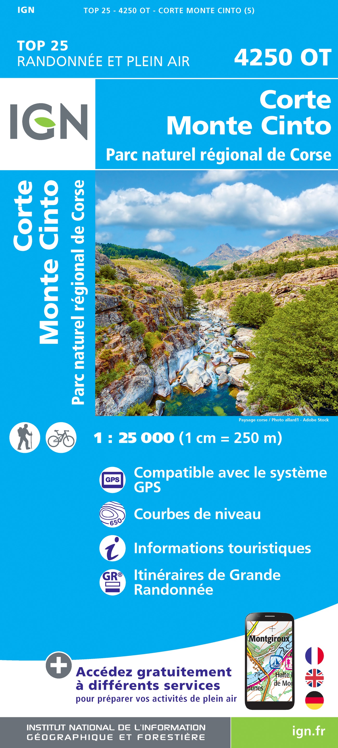
- Corte - Monte Cinto - PNR De Corse IGN WATERPROOF 4250OTR
- Topographic survey of France at 1:25,000 in IGN`s excellent TOP25 / Série Bleue series. All the maps are GPS compatible, with a 1km UTM grid plus latitude and longitude lines at 5’ intervals. Contours are at 5m intervals except for mountainous areas where the maps have contours at 10m intervals, vividly enhanced by hill shading and graphics for... Read more
De Zwerver
Netherlands
2016
Netherlands
2016
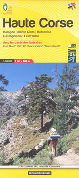
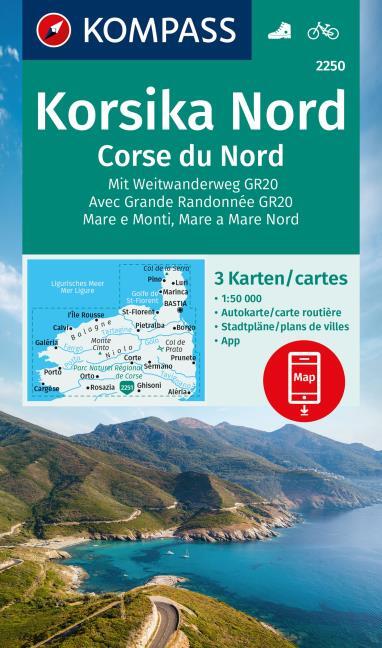
- Wandelkaart 08 Haute Corse - Corsica noord - Corse du Nord -Calvi, Corte | Didier Richard
- Northern Corsica at 1:60,000 on a contoured and GPS compatible map from Didier Richard with a base derived from IGN Read more
- Also available from:
- Stanfords, United Kingdom

Stanfords
United Kingdom
2016
United Kingdom
2016
- Corsica North Didier Richard 08
- Northern Corsica at 1:60,000 on a contoured and GPS compatible map from Didier Richard with a base derived from IGN’s topographic survey, highlighting both local walking / hiking routes and the GR network of long-distance paths, gîtes and mountain refuges, interesting natural and cultural sites, etc. The map covers the northern section of the... Read more
De Zwerver
Netherlands
2023
Netherlands
2023
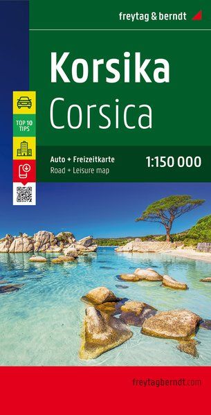
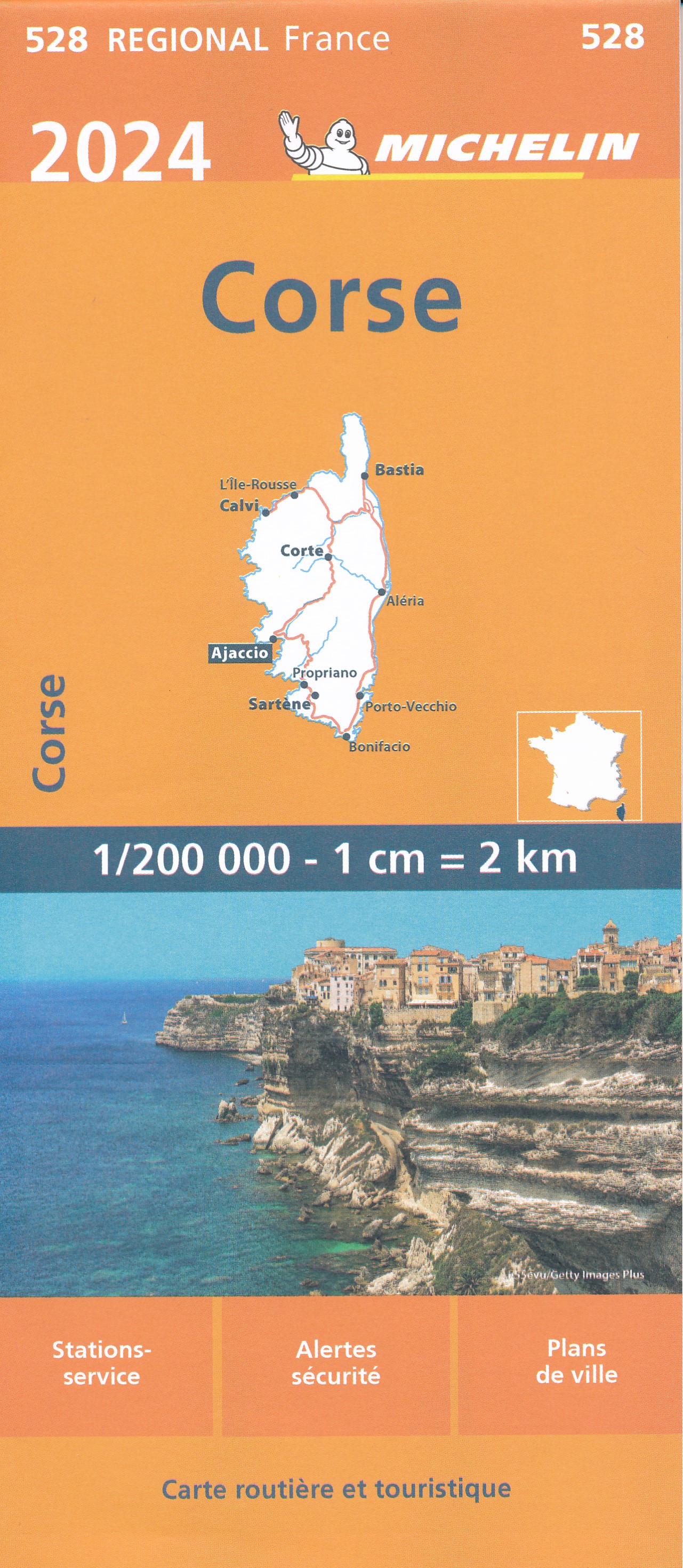
- Wegenkaart - landkaart Corsica - Korsika | Freytag & Berndt
- Korsika, Top 10 Tips, Autokarte 1:150.000 ab 10.9 EURO Corsika. Top 10 Tips Sehenswürdigkeiten. Citypläne. Ortsregister mit Postleitzahlen Freytag & Berndt Auto + Freizeitkarte. Neuauflage Read more
De Zwerver
Netherlands
Netherlands
- Also available from:
- Stanfords, United Kingdom

Stanfords
United Kingdom
United Kingdom
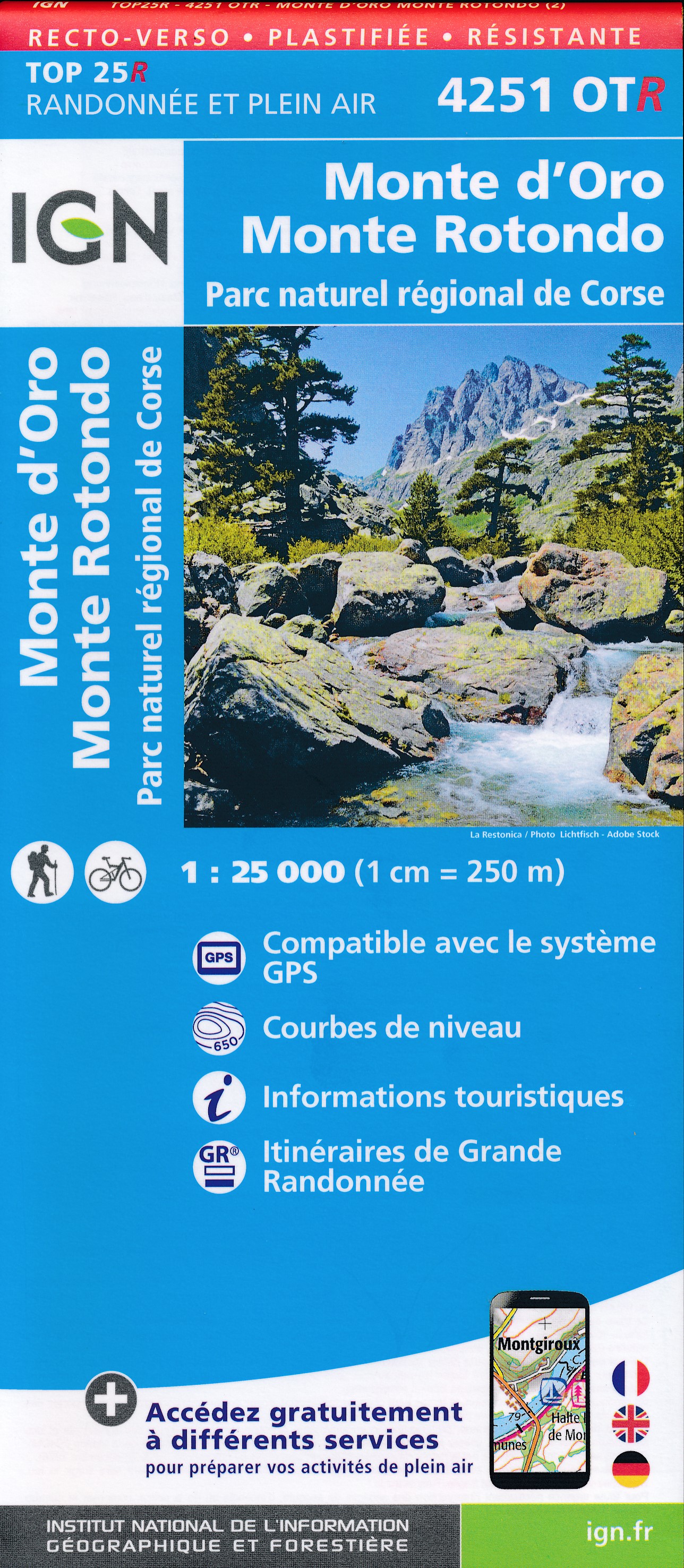
- Monte d`Oro - Monte Rotondo - PNR de Corse IGN WATERPROOF 4251OTR
- Topographic survey of France at 1:25,000 in IGN`s excellent TOP25 / Série Bleue series. All the maps are GPS compatible, with a 1km UTM grid plus latitude and longitude lines at 5’ intervals. Contours are at 5m intervals except for mountainous areas where the maps have contours at 10m intervals, vividly enhanced by hill shading and graphics for... Read more
De Zwerver
Netherlands
2014
Netherlands
2014
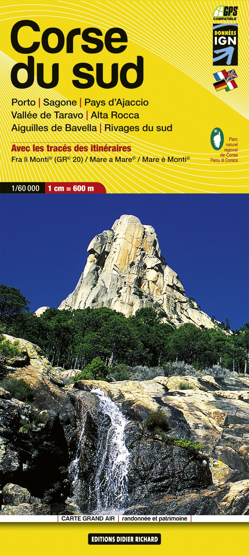
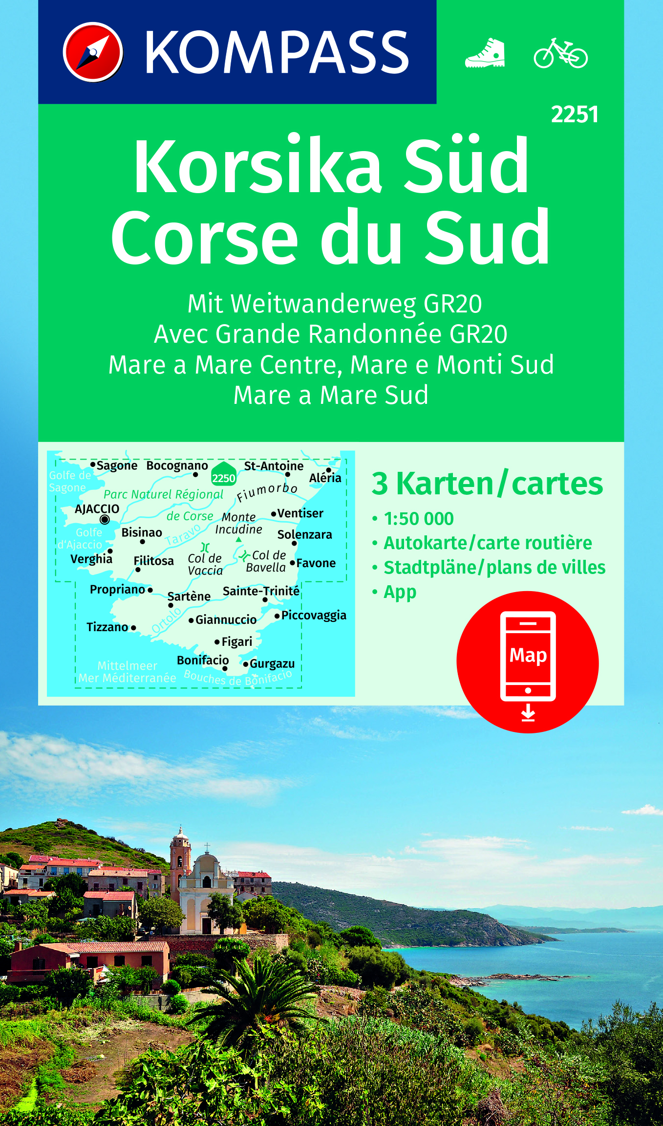
- Wandelkaart 09 Corsica zuid - Corse du Sud - Aiguilles de Bavella - Vallée de Taravo - Alta Rocca | Didier Richard
- Southern Corsica at 1:60,000 on a contoured and GPS compatible map from Didier Richard with a base derived from IGN Read more
- Also available from:
- Stanfords, United Kingdom

Stanfords
United Kingdom
2014
United Kingdom
2014
- Corsica South Didier Richard 09
- Southern Corsica at 1:60,000 on a contoured and GPS compatible map from Didier Richard with a base derived from IGN’s topographic survey, highlighting both local walking / hiking routes and the GR network of long-distance paths, gîtes and mountain refuges, interesting natural and cultural sites, etc. The map covers the southern section of the... Read more
De Zwerver
Netherlands
Netherlands
- Also available from:
- Stanfords, United Kingdom

Stanfords
United Kingdom
United Kingdom
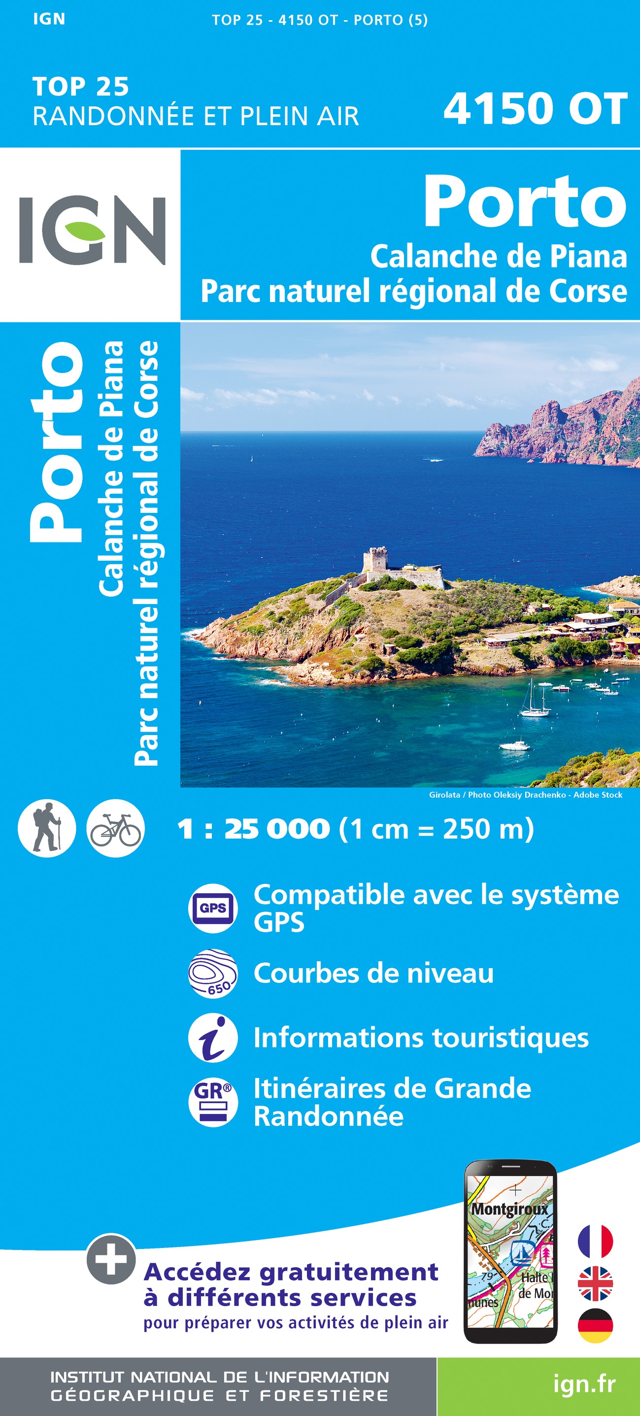
- Porto - Calanche de Piana - PNR de Corse IGN 4150OT
- Topographic survey of France at 1:25,000 in IGN`s excellent TOP25 / Série Bleue series. All the maps are GPS compatible, with a 1km UTM grid plus latitude and longitude lines at 5’ intervals. Contours are at 5m intervals except for mountainous areas where the maps have contours at 10m intervals, vividly enhanced by hill shading and graphics for... Read more
De Zwerver
Netherlands
Netherlands
- Also available from:
- Stanfords, United Kingdom

Stanfords
United Kingdom
United Kingdom
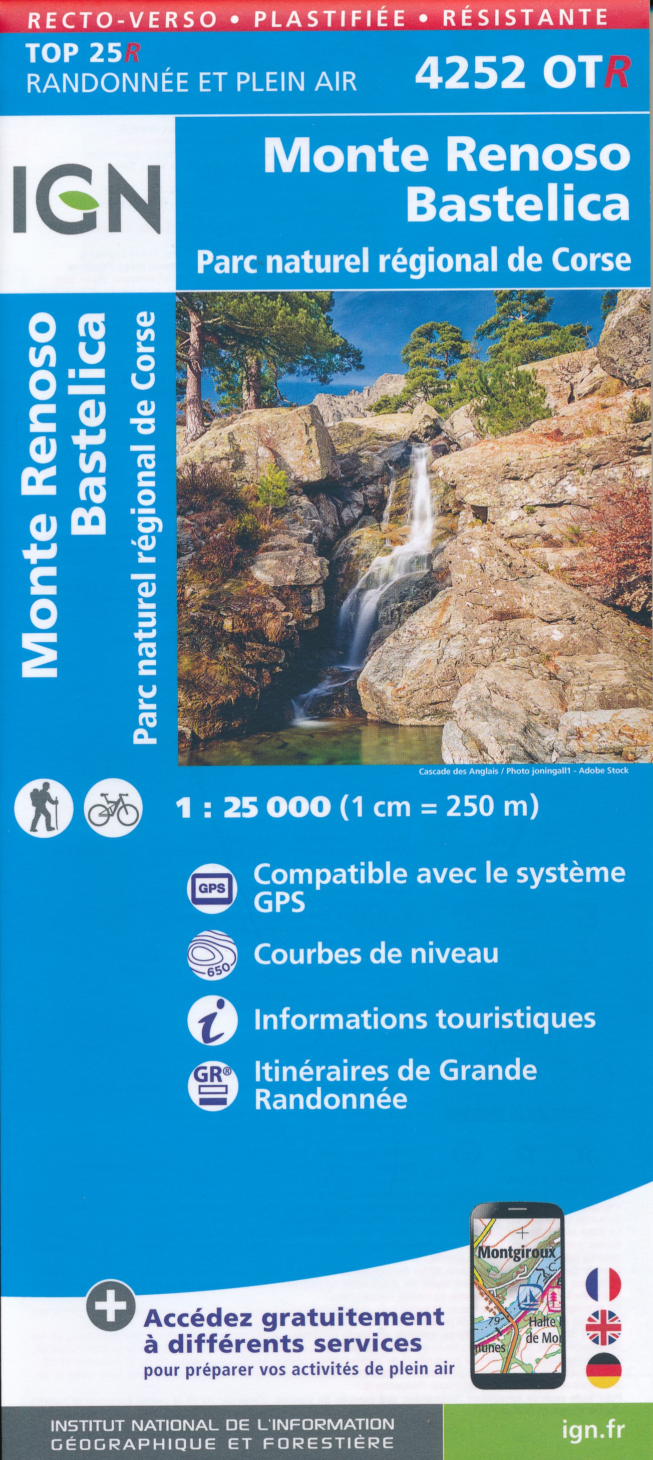
- Monte Renoso - Bastelica - PNR de Corse IGN WATERPROOF 4252OTR
- Topographic survey of France at 1:25,000 in IGN`s excellent TOP25 / Série Bleue series. All the maps are GPS compatible, with a 1km UTM grid plus latitude and longitude lines at 5’ intervals. Contours are at 5m intervals except for mountainous areas where the maps have contours at 10m intervals, vividly enhanced by hill shading and graphics for... Read more
De Zwerver
Netherlands
Netherlands
De Zwerver
Netherlands
Netherlands
- Also available from:
- Stanfords, United Kingdom

Stanfords
United Kingdom
United Kingdom
- Corte - Monte Cinto - PNR de Corse IGN 4250OT
- Topographic survey of France at 1:25,000 in IGN`s excellent TOP25 / Série Bleue series. All the maps are GPS compatible, with a 1km UTM grid plus latitude and longitude lines at 5’ intervals. Contours are at 5m intervals except for mountainous areas where the maps have contours at 10m intervals, vividly enhanced by hill shading and graphics for... Read more