
Jura
Beschrijving

The Jura is the mountain range west and north of the Lake of Geneva, roughly situated between Mulhouse and Lyon, shared by France and Switzerland. The Jurassic period of our geoglogical timescale derives its name of this mountain range. The mountains are much older than the Alps. Large forests, long worn ridges, rich grounds: it is a very good area for hiking. The GR5 - E2 traverses the northern part of the Jura. GR9 - E4 lie in the southern part.
Kaart


Paden in deze regio
Links
Feiten
Verslagen
Gidsen en kaarten
Overnachting
Organisaties
Reisorganisaties
GPS
Anders
Boeken

De Zwerver
Netherlands
2021
Netherlands
2021


De Zwerver
Netherlands
2021
Netherlands
2021


De Zwerver
Netherlands
2014
Netherlands
2014
- Wandelgids 901 Tours et traversées dans l'Ain GR9, GR9A, GR59 | FFRP
- Guide FFRandonnée Tours et Traversée dans l'ain. GR 59, 9, 9A. Etangs de la Dombes, monts et cluses du Revermont ou bocages de la Bresse. Plus de 50 jours de randonnée.Depuis les Monts du Jura, du Revermont ou du Bugey, ces itinéraires en boucle ou en ligne offrent aux randonneurs des vues imprenables. voici à l'est le Mont Blanc et les... Read more
- Also available from:
- Stanfords, United Kingdom

Stanfords
United Kingdom
2014
United Kingdom
2014
- GR59/GR9/GRP: Tours et Traversées de l`Ain FFRP Topo-guide No. 901
- Tours et Traversées de l`Ain, FFRP topoguide, Ref. No. 901, covering in all 949km of hiking trails in the French Jura between Lons-le-Saunier and the confluence of the Ain and the Rhône, including sections of GR 5, 9 and 9A. Current edition of this title was published in June 2014.ABOUT THE FFRP (Fédération française de la randonnée pédestre)... Read more
De Zwerver
Netherlands
2021
Netherlands
2021
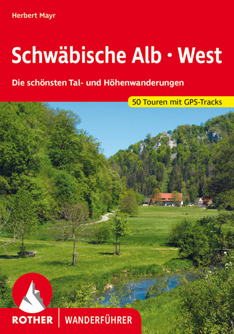
- Wandelgids Schwäbische Alb · West | Rother Bergverlag
- Uitstekende wandelgids met een groot aantal dagtochten in dal en hooggebergte. Met praktische informatie en beperkt kaartmateriaal! Wandelingen in verschillende zwaarte weergegeven in rood/blauw/zwart. Die Schwäbische Alb, dieses vielgestaltige Mittelgebirge nördlich des Donautals, zählt zu den beliebtesten Wanderregionen Deutschlands. Der... Read more
De Zwerver
Netherlands
2023
Netherlands
2023
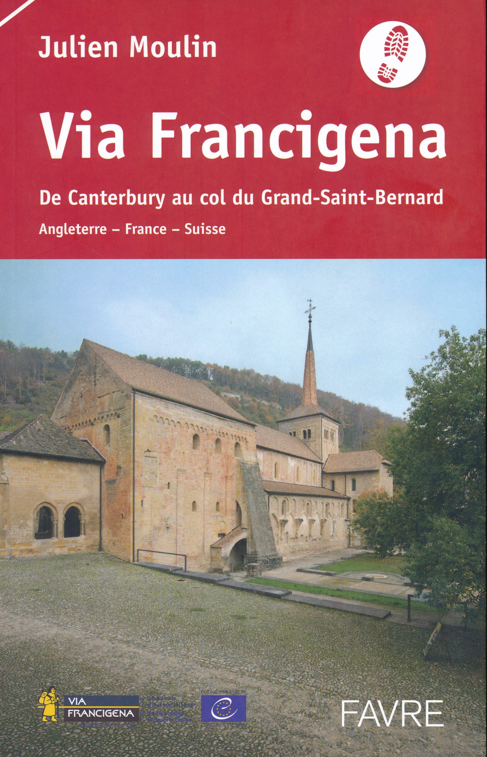
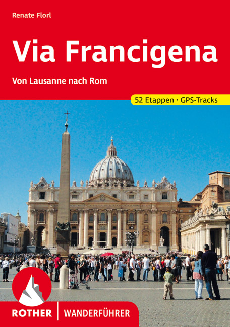
- Wandelgids - Pelgrimsroute Via Francigena - Lausanne naar Rome | Rother Bergverlag
- Von Lausanne nach Rom. 52 Etappen. Mit GPS-Daten Rother Wanderführer. 1., Auflage. Read more

De Zwerver
Netherlands
2023
Netherlands
2023
De Zwerver
Netherlands
2021
Netherlands
2021
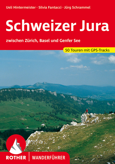
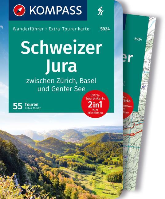
- Wandelgids Schweizer Jura | Rother Bergverlag
- Uitstekende wandelgids met een groot aantal dagtochten in dal en hooggebergte. Met praktische informatie en beperkt kaartmateriaal! Wandelingen in verschillende zwaarte weergegeven in rood/blauw/zwart. Die ganze Schweiz ist von schroffen Bergen besetzt. Die ganze Schweiz? Nein - im Nordwesten liegt eine gar nicht so kleine Gegend, die eine... Read more

De Zwerver
Netherlands
2024
Netherlands
2024


De Zwerver
Netherlands
2021
Netherlands
2021
Kaarten

De Zwerver
Netherlands
2020
Netherlands
2020
- Wandelatlas - Pelgrimsroute (kaart) 161 Chemins de Compostelle GR65 | Michelin
- Véritable petit atlas détaillant chaque étape avec indications précises concernant les villes de départ et d'arrivée ainsi que pour les localités traversées (auberges, refuges, restaurants, pharmacies, gare, épiceries, Km parcourus, Km restants....).Ce petit atlas suit le chemin du... Read more

De Zwerver
Netherlands
2016
Netherlands
2016
- Wandelgids The Cretan Way E4 | Anavasi
- The Cretan Way is a 500km walking route which takes you from east to west across the varied and spectacular landscapes of Crete. It is the ideal way to discover the rural, mountainous and costal regions of this incredible island. This guide is based on a 28-day walk.This guide includes practical information, maps at a scale of 1:25.000 of... Read more
- Also available from:
- Stanfords, United Kingdom

Stanfords
United Kingdom
2016
United Kingdom
2016
- The Cretan Way - A 28 Day Walk
- The Cretan Way is a 500km walking route which takes you from east to west across the varied and spectacular landscapes of Crete. It is the ideal way to discover the rural, mountainous and costal regions of this incredible island. This guide is based on a 28-day walk.This guide includes practical information, maps at a scale of 1:25.000 of... Read more
De Zwerver
Netherlands
Netherlands
- Also available from:
- Stanfords, United Kingdom

Stanfords
United Kingdom
United Kingdom
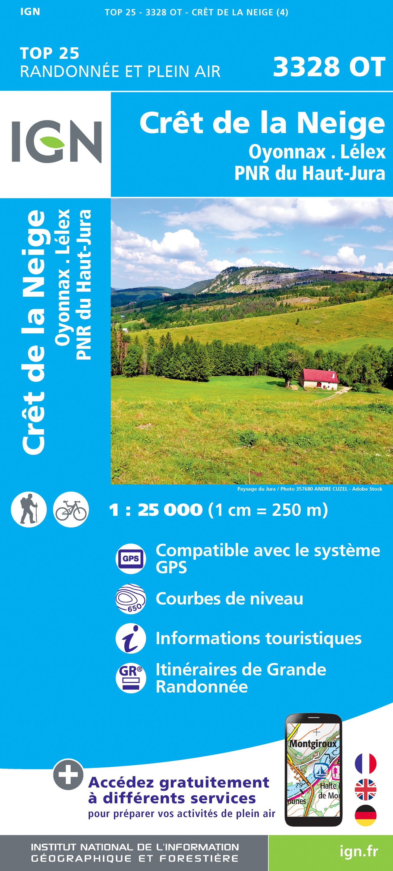
- Cret de la Neige - Oyonnax - Lelex - PNR du Haut Jura IGN 3328OT
- Topographic survey of France at 1:25,000 in IGN`s excellent TOP25 / Série Bleue series. All the maps are GPS compatible, with a 1km UTM grid plus latitude and longitude lines at 5’ intervals. Contours are at 5m intervals except for mountainous areas where the maps have contours at 10m intervals, vividly enhanced by hill shading and graphics for... Read more
De Zwerver
Netherlands
Netherlands
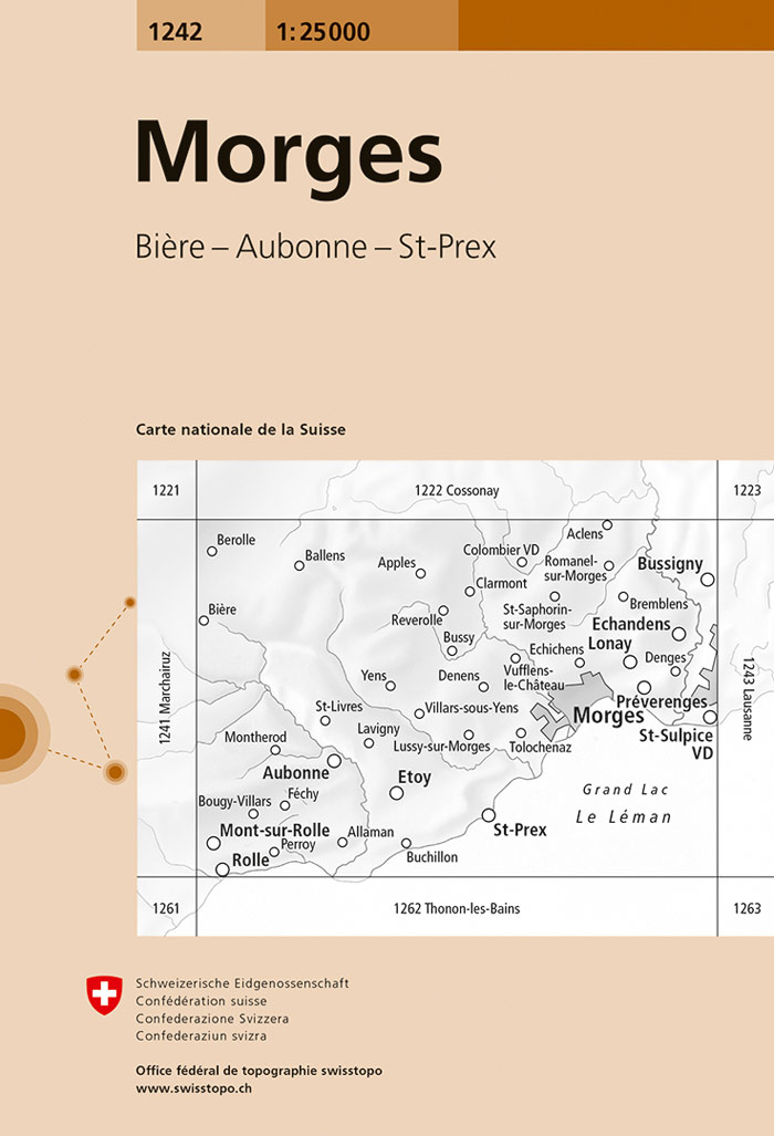
- Wandelkaart - Topografische kaart 1242 Morges | Swisstopo
- Map No. 1242, Morges, in the topographic survey of Switzerland at 1:25,000 from Bundesamt f Read more
- Also available from:
- Stanfords, United Kingdom

Stanfords
United Kingdom
United Kingdom
- Morges Swisstopo 1242
- Map No. 1242, Morges, in the topographic survey of Switzerland at 1:25,000 from Bundesamt für Landestopographie (swisstopo), covering the whole country on 247 small format sheets, with special larger maps published for popular regions including some titles now available in hiking versions.Highly regarded for their superb use of graphic relief... Read more
De Zwerver
Netherlands
Netherlands
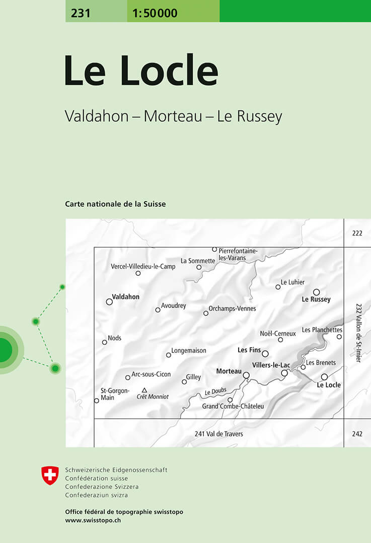
- Wandelkaart - Topografische kaart 231 Le Locle | Swisstopo
- Le Locle, map No. 231, in the standard topographic survey of Switzerland at 1:50,000 from Swisstopo, i.e. without the special overprint highlighting walking trails, local bus stops, etc, presented in Swisstopo Read more
- Also available from:
- Stanfords, United Kingdom

Stanfords
United Kingdom
United Kingdom
- Le Locle Swisstopo 231
- Le Locle, map No. 231, in the standard topographic survey of Switzerland at 1:50,000 from Swisstopo, i.e. without the special overprint highlighting walking trails, local bus stops, etc, presented in Swisstopo’s hiking editions of the 50K survey. The map covers mainly the northern part of the French Jura.Highly regarded for their superb use of... Read more

De Zwerver
Netherlands
Netherlands
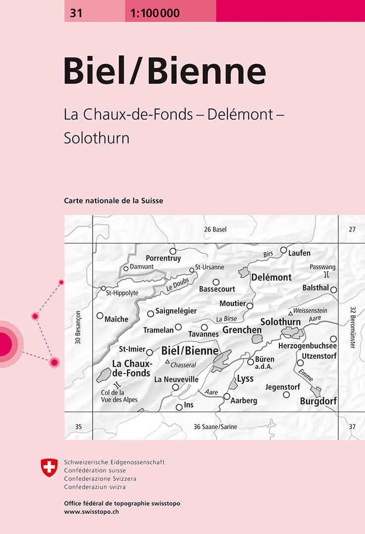
- Fietskaart - Topografische kaart - Wegenkaart - landkaart 31 Biel/Bienne | Swisstopo
- Map No. 31, Biel/Bienne, in the Swiss topographic survey at 1:100,000 published in 23 standard sheets (Nos. 26 - 48), with special larger maps centred on popular tourist destinations (Nos. 101 - 111). Swiss survey maps are highly regarded for their superb use of graphic relief and hill shading, presenting an almost 3-D picture of the country's... Read more
- Also available from:
- Stanfords, United Kingdom

Stanfords
United Kingdom
United Kingdom
- Biel / Bienne Swisstopo 31
- Swiss topographic survey at 1:100,000 from Swisstopo, highly regarded for it superb use of graphic relief and hill shading, presenting an almost 3-D picture of the country`s mountainous terrain. Coverage is available either as small size standard sheets – Nos 26 to 48, each covering 70 x 48 km / 43 x 30 miles approx, or as larger size maps -... Read more
De Zwerver
Netherlands
Netherlands
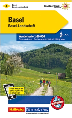
- Wandelkaart 04 Basel - Bazel - Olten - Aarau, Zwitserse Jura | Kümmerly & Frey
- KuF Schweiz Wanderkarte 04. Basel - Aarau / Basel-Landschaft - Olten ab 26.8 EURO Sehensw�rdigkeiten. Unterkunft und Verpflegung. Autobuslinien mit Haltestellen. GPS. Neu mit Index K�mmerly und Frey Schweiz Wanderkarte Schweizer Wanderkarten. Laufzeit 99/2019 Read more
De Zwerver
Netherlands
Netherlands
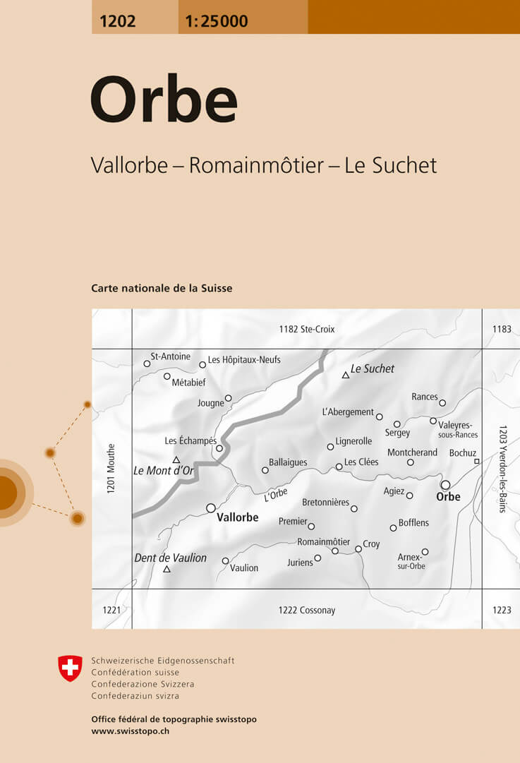
- Wandelkaart - Topografische kaart 1202 Orbe | Swisstopo
- Map No. 1202, Orbe, in the topographic survey of Switzerland at 1:25,000 from Bundesamt f Read more
- Also available from:
- Stanfords, United Kingdom
Stanfords
United Kingdom
United Kingdom
- Orbe Swisstopo 1202
- Map No. 1202, Orbe, in the topographic survey of Switzerland at 1:25,000 from Bundesamt für Landestopographie (swisstopo), covering the whole country on 247 small format sheets, with special larger maps published for popular regions including some titles now available in hiking versions.Highly regarded for their superb use of graphic relief and... Read more

De Zwerver
Netherlands
Netherlands
- Wandelkaart Sredna Gora - Bulgarije | Domino
- Pirin Mountains at 1:50,000 on a large, double-sided, contoured map with GPS waypoints for shelters and chalets, peaks, etc. and highlighting hiking routes. Topography is shown by contours at 40m intervals with additional relief shading and graphics and colouring for sandstone stacks, single rocks over 5m high, marshlands and different types of... Read more


De Zwerver
Netherlands
Netherlands
- Wandelkaart 05 Outdoorkarte FR Elsass - Colmar - Sélestat - Elzas | Kümmerly & Frey
- The central part of Alsace around Colmar and Sélestat on a GPS compatible, double-sided map at 1:50,000 from Kümmerly+Frey printed on sturdy, waterproof and tear-resistant synthetic paper; contoured, with hiking and cycling routes, sites for other recreational activities, various accommodation options, restaurants and ferme-auberge locations,... Read more
- Also available from:
- Stanfords, United Kingdom

Stanfords
United Kingdom
United Kingdom
- Alsace - Colmar - Sélestat - Freiburg im Breisgau - Lahr K+F Outdoor Map 5
- The central part of Alsace around Colmar and Sélestat on a GPS compatible, double-sided map at 1:50,000 from Kümmerly+Frey printed on sturdy, waterproof and tear-resistant synthetic paper; contoured, with hiking and cycling routes, sites for other recreational activities, various accommodation options, restaurants and ferme-auberge locations,... Read more
De Zwerver
Netherlands
2024
Netherlands
2024
De Zwerver
Netherlands
2022
Netherlands
2022
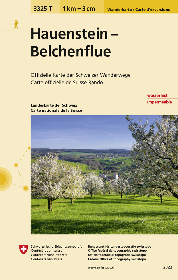
- Wandelkaart - Topografische kaart 3325T Hauenstein - Belchenflue | Swisstopo
- Hauenstein - Belchenflue area of the Swiss Jura at 1:33,333 on light, waterproof and tear-resistant map No. 3325T published by Swisstopo in cooperation with the Swiss Hiking Federation. Cartography is the same as in Swisstopo’s 50K hiking maps, simply enlarged to 1:33,333 for extra clarity but without additional information. The title includes... Read more
- Also available from:
- Stanfords, United Kingdom

Stanfords
United Kingdom
2022
United Kingdom
2022
- Hauenstein - Belchenflue Swisstopo Hiking 3325T
- Hauenstein - Belchenflue area of the Swiss Jura at 1:33,333 on light, waterproof and tear-resistant map No. 3325T published by Swisstopo in cooperation with the Swiss Hiking Federation. Cartography is the same as in Swisstopo’s 50K hiking maps, simply enlarged to 1:33,333 for extra clarity but without additional information. The title includes... Read more