Bretagne
Beschrijving

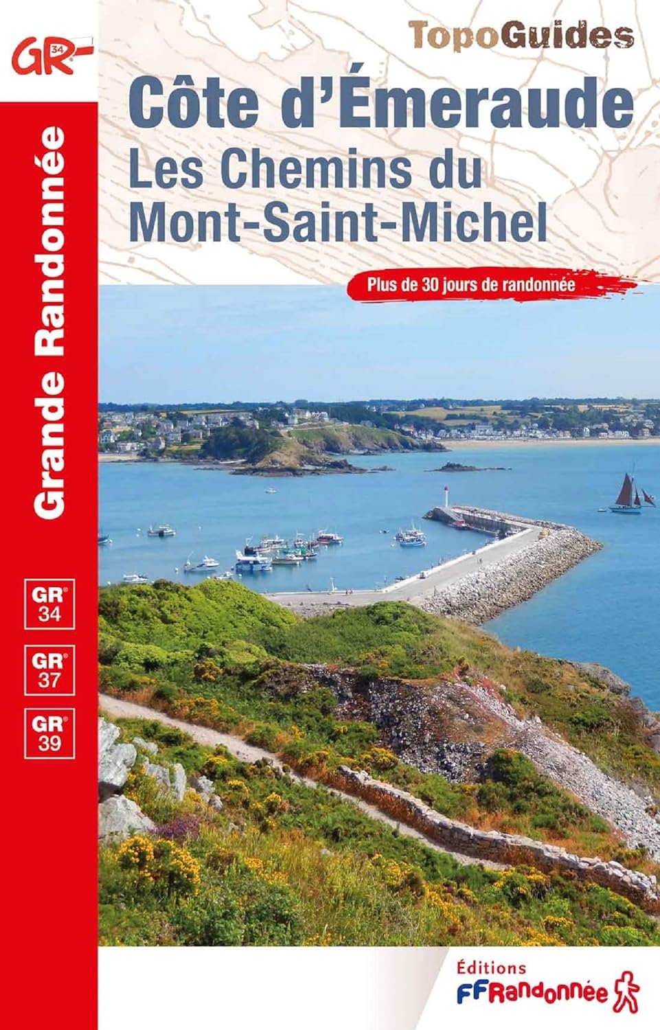
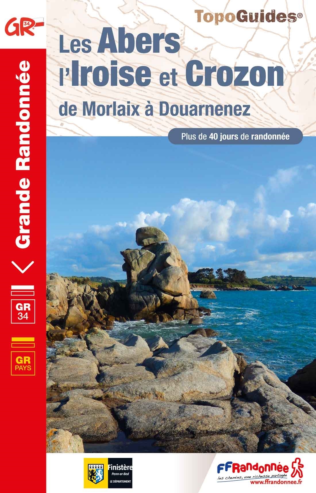
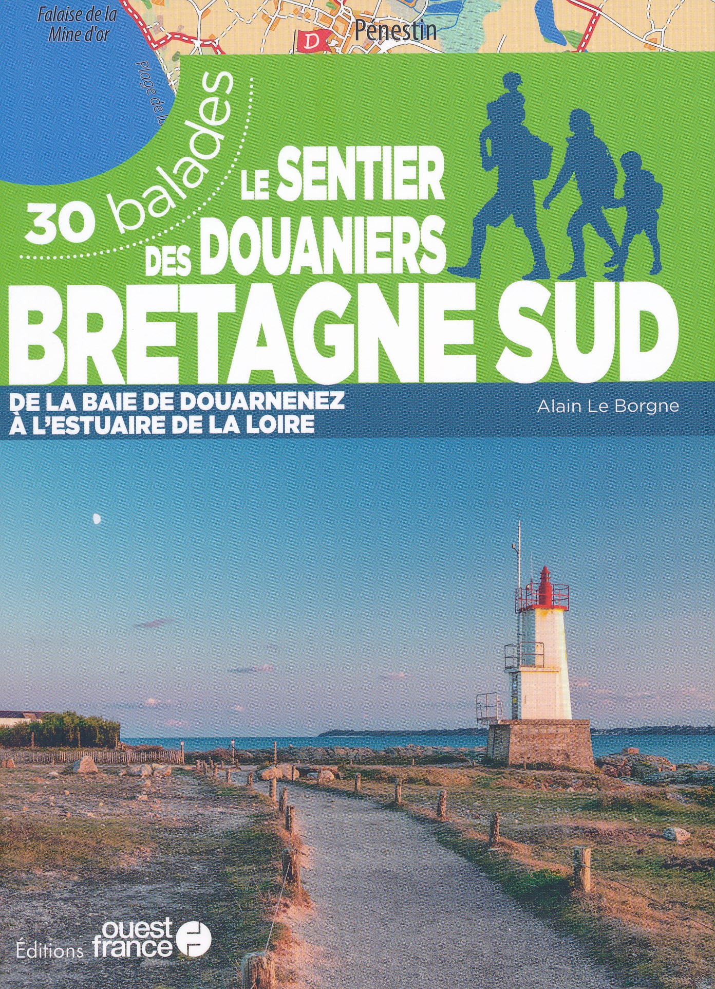
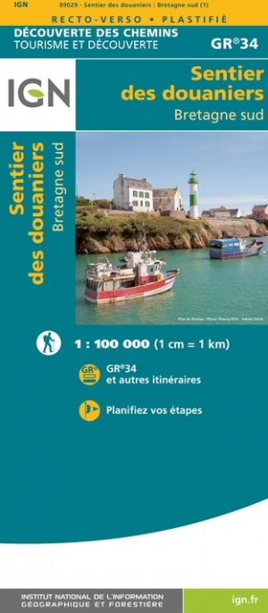
Popular region in the west of France. Brittany reaches far into the Atlantic Ocean. The coastline is rugged and varied. The main hiking attraction is the 1.800 km long coastal trail, the GR34, coinciding with the E9. The countryside is one of fields and hedges and historic little villages.
Kaart

Paden in deze regio
Links
Feiten
Verslagen
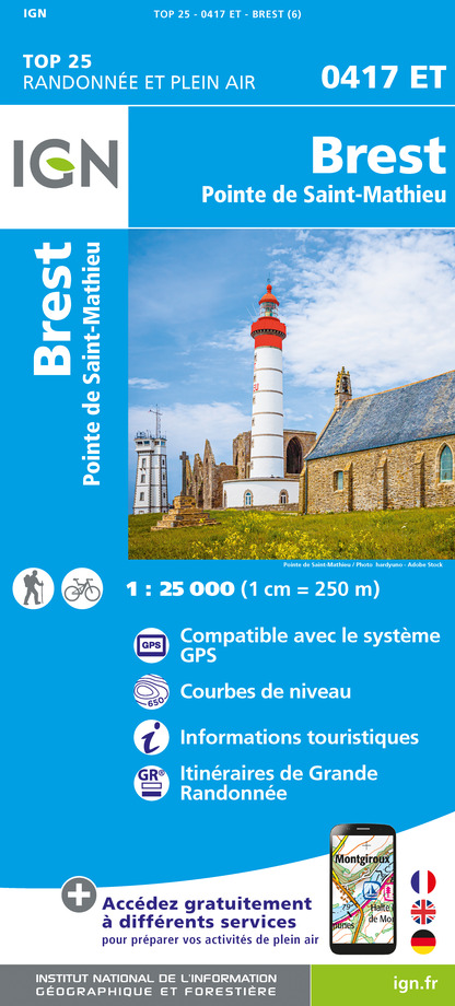
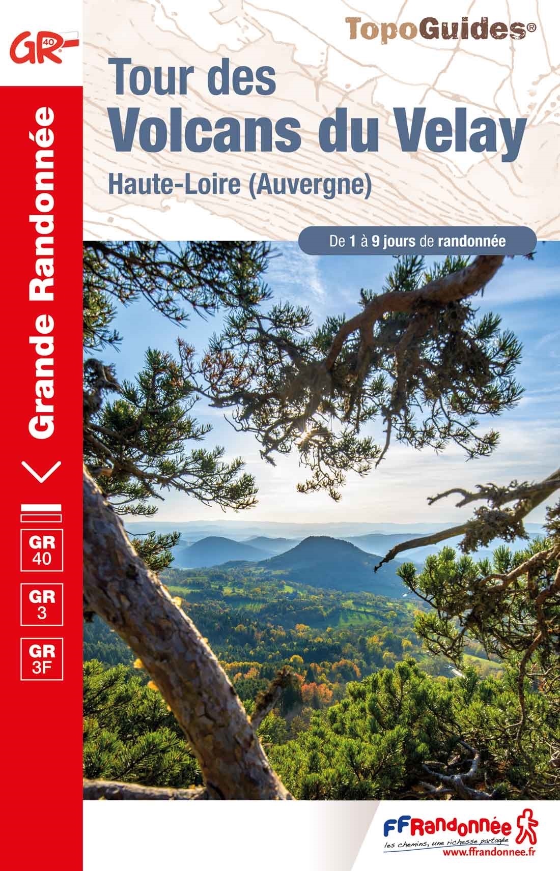
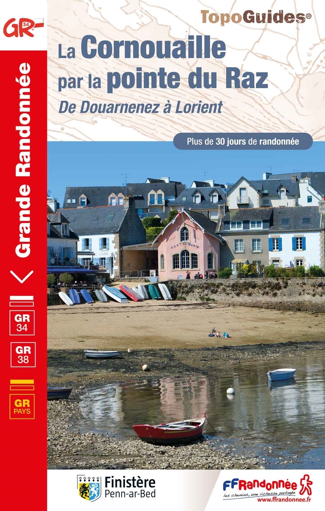
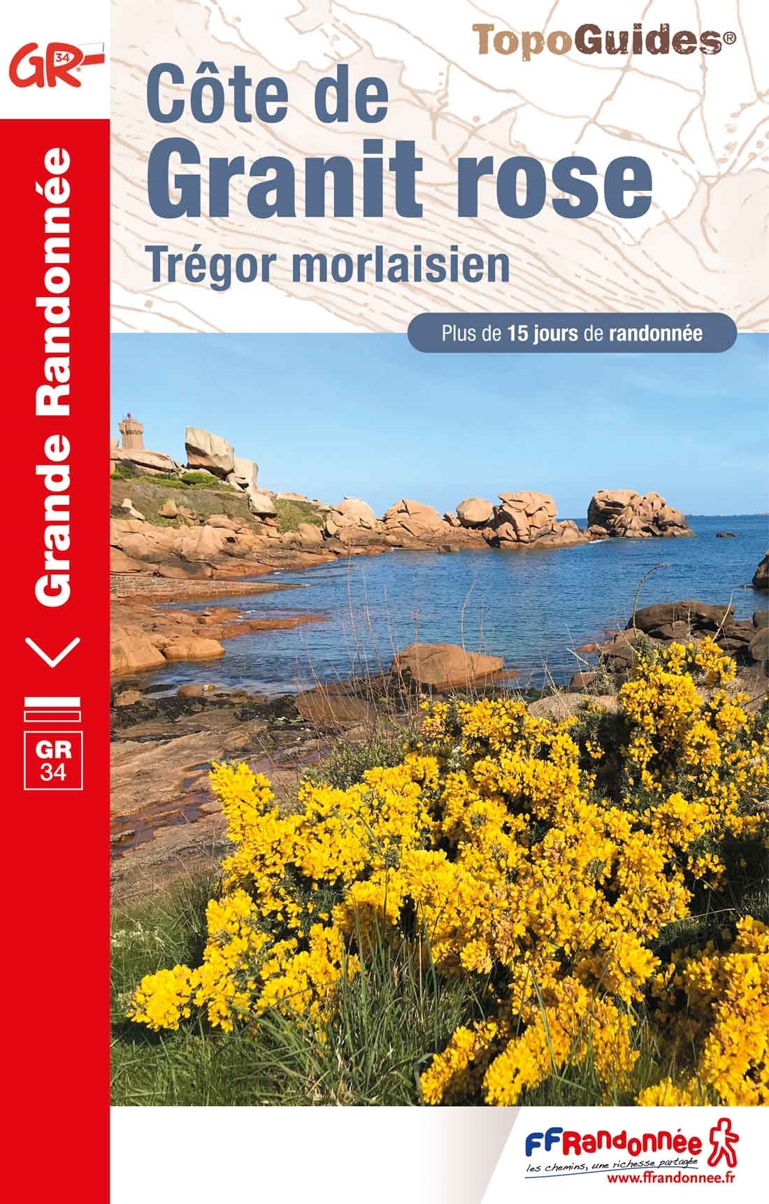
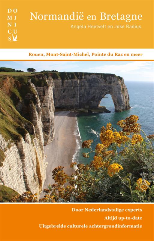
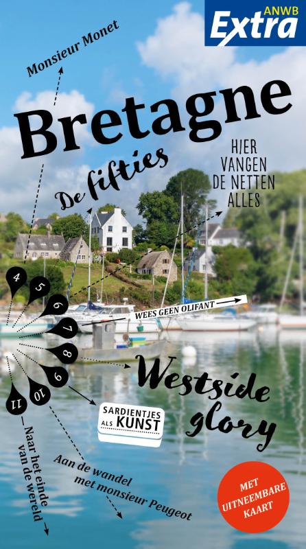
Gidsen en kaarten
Overnachting
Organisaties
Reisorganisaties
GPS
Anders
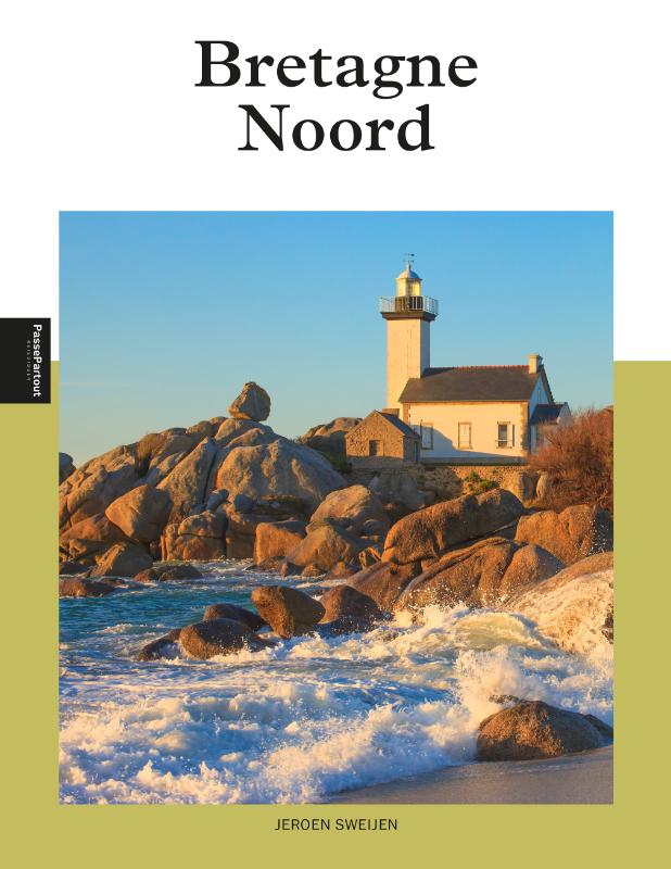
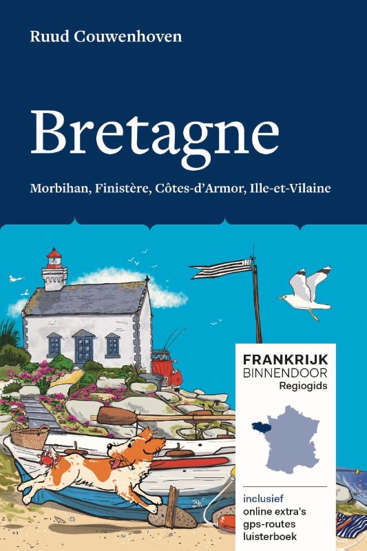
Boeken
De Zwerver
Netherlands
2011
Netherlands
2011
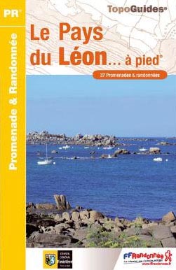
- Wandelgids P296 Le Pays du Léon... à pied | FFRP
- Franstalige wandelgids met een beschrijving van een aantal dagtochten. Uitstekende beschrijvingen met duidelijk kaartmateriaal. Mislopen is nauwelijks mogelijk, maar ja .. de franse taal! Ook praktische informatie staat in deze gids. Alle gidsen bevatten een door ons toegevoegde uitgebreide frans - nederlandse wandelwoordenlijst. 37 balades de... Read more
- Also available from:
- Stanfords, United Kingdom

Stanfords
United Kingdom
2011
United Kingdom
2011
- Pays du Léon à pied FFRP Topo-guide No. P296
- Pays du Léon à pied, FFRP topo-guide Ref. No. P296, with 37 walks in northern Brittany west of Morlaix. Each walk is presented on a separate colour extract from IGN’s topographic survey of France at 1:25,000 with its description cross-referenced to the map. Current edition of this title was published in April 2011.To see the list of other FFRP... Read more
De Zwerver
Netherlands
2022
Netherlands
2022

De Zwerver
Netherlands
2023
Netherlands
2023

De Zwerver
Netherlands
2023
Netherlands
2023

De Zwerver
Netherlands
2021
Netherlands
2021
Kaarten
De Zwerver
Netherlands
Netherlands
- Also available from:
- Stanfords, United Kingdom

Stanfords
United Kingdom
United Kingdom
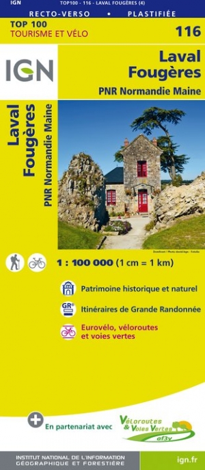
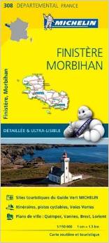
- Laval - Fougeres - PNR Normandie Maine IGN TOP100 116
- Discover the new double-sided laminated edition of TOP100 road maps of France from the Institut Géographique National (IGN); exceptionally detailed, contoured road maps which include the cycle paths and greenways of the AF3V (French Association for the Development of Cycle Paths and Greenways), ideal for exploring the French countryside by car,... Read more
De Zwerver
Netherlands
Netherlands
- Also available from:
- Stanfords, United Kingdom

Stanfords
United Kingdom
United Kingdom
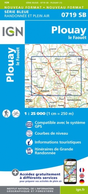
- Plouay - le Faouet IGN 0719SB
- Topographic survey of France at 1:25,000 in IGN`s excellent TOP25 / Série Bleue series. All the maps are GPS compatible, with a 1km UTM grid plus latitude and longitude lines at 5’ intervals. Contours are at 5m intervals except for mountainous areas where the maps have contours at 10m intervals, vividly enhanced by hill shading and graphics for... Read more
De Zwerver
Netherlands
2021
Netherlands
2021
- Also available from:
- Stanfords, United Kingdom

De Zwerver
Netherlands
Netherlands
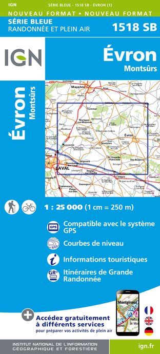
- Wandelkaart - Topografische kaart 1518SB Evron - Montsûrs | IGN - Institut Géographique National
- Topographic survey of France at 1:25,000 in IGN's excellent TOP25 / S Read more
- Also available from:
- Stanfords, United Kingdom

Stanfords
United Kingdom
United Kingdom
- Evron - Montsurs IGN 1518SB
- Topographic survey of France at 1:25,000 in IGN`s excellent TOP25 / Série Bleue series. All the maps are GPS compatible, with a 1km UTM grid plus latitude and longitude lines at 5’ intervals. Contours are at 5m intervals except for mountainous areas where the maps have contours at 10m intervals, vividly enhanced by hill shading and graphics for... Read more
De Zwerver
Netherlands
Netherlands
De Zwerver
Netherlands
Netherlands
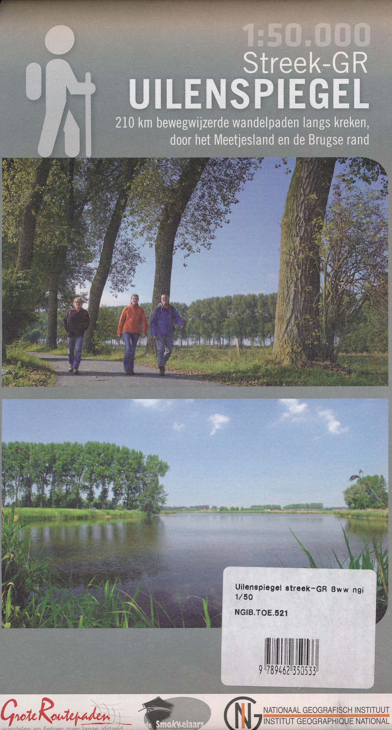
- Wandelkaart 521 Streek GR Uilenspiegel GR 8 | NGI - Nationaal Geografisch Instituut
- Omvat: de gemeentes Damme, Het Zwin, Sluis, Oostburg en Terneuzen, Meetjesland, de Lembeekse bossen, provinciaal domein Het Leen & het Drongengoedbos Productomschrijving: Het Nationaal Geografisch Instituut publiceert ook toeristische kaarten, in samenwerking met lokale overheden, VVV-kantoren en andere verenigingen. Deze kaarten zijn ontworpen... Read more
De Zwerver
Netherlands
Netherlands
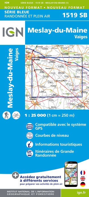
- Wandelkaart - Topografische kaart 1519SB Meslay-du-Maine, Vaiges | IGN - Institut Géographique National
- Topographic survey of France at 1:25,000 in IGN's excellent TOP25 / S Read more
- Also available from:
- Stanfords, United Kingdom

Stanfords
United Kingdom
United Kingdom
- Mesley-du-Maine - Vaiges IGN 25K Série Bleue Map 1519SB
- Topographic survey of France at 1:25,000 in IGN`s excellent TOP25 / Série Bleue series. All the maps are GPS compatible, with a 1km UTM grid plus latitude and longitude lines at 5’ intervals. Contours are at 5m intervals except for mountainous areas where the maps have contours at 10m intervals, vividly enhanced by hill shading and graphics for... Read more
De Zwerver
Netherlands
Netherlands
- Also available from:
- Stanfords, United Kingdom

Stanfords
United Kingdom
United Kingdom
De Zwerver
Netherlands
Netherlands
- Also available from:
- Stanfords, United Kingdom

Stanfords
United Kingdom
United Kingdom
- Erquy - le Val-Andre - Lamballe IGN 0916ET
- Topographic survey of France at 1:25,000 in IGN`s excellent TOP25 / Série Bleue series. All the maps are GPS compatible, with a 1km UTM grid plus latitude and longitude lines at 5’ intervals. Contours are at 5m intervals except for mountainous areas where the maps have contours at 10m intervals, vividly enhanced by hill shading and graphics for... Read more
Meer kaarten…