
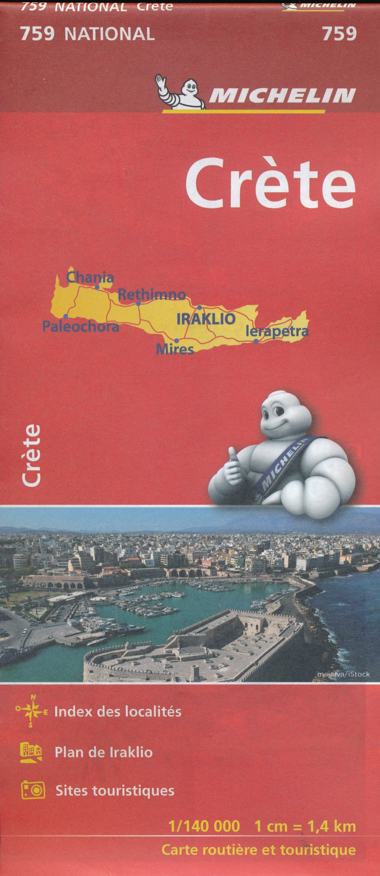
Crete
Beschrijving
Paden in deze regio
Links
Feiten
Verslagen
Gidsen en kaarten
Overnachting
Organisaties
Reisorganisaties
GPS
Anders
Boeken
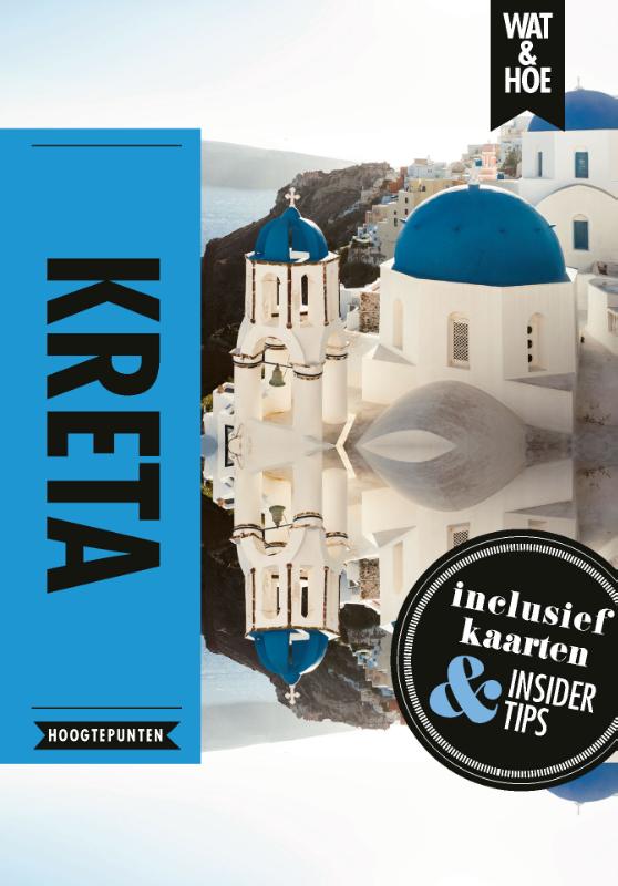

De Zwerver
Netherlands
2022
Netherlands
2022
De Zwerver
Netherlands
2014
Netherlands
2014
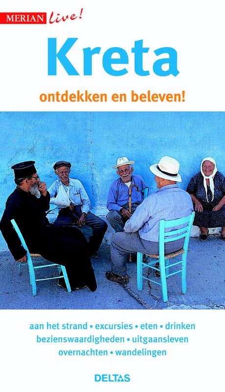
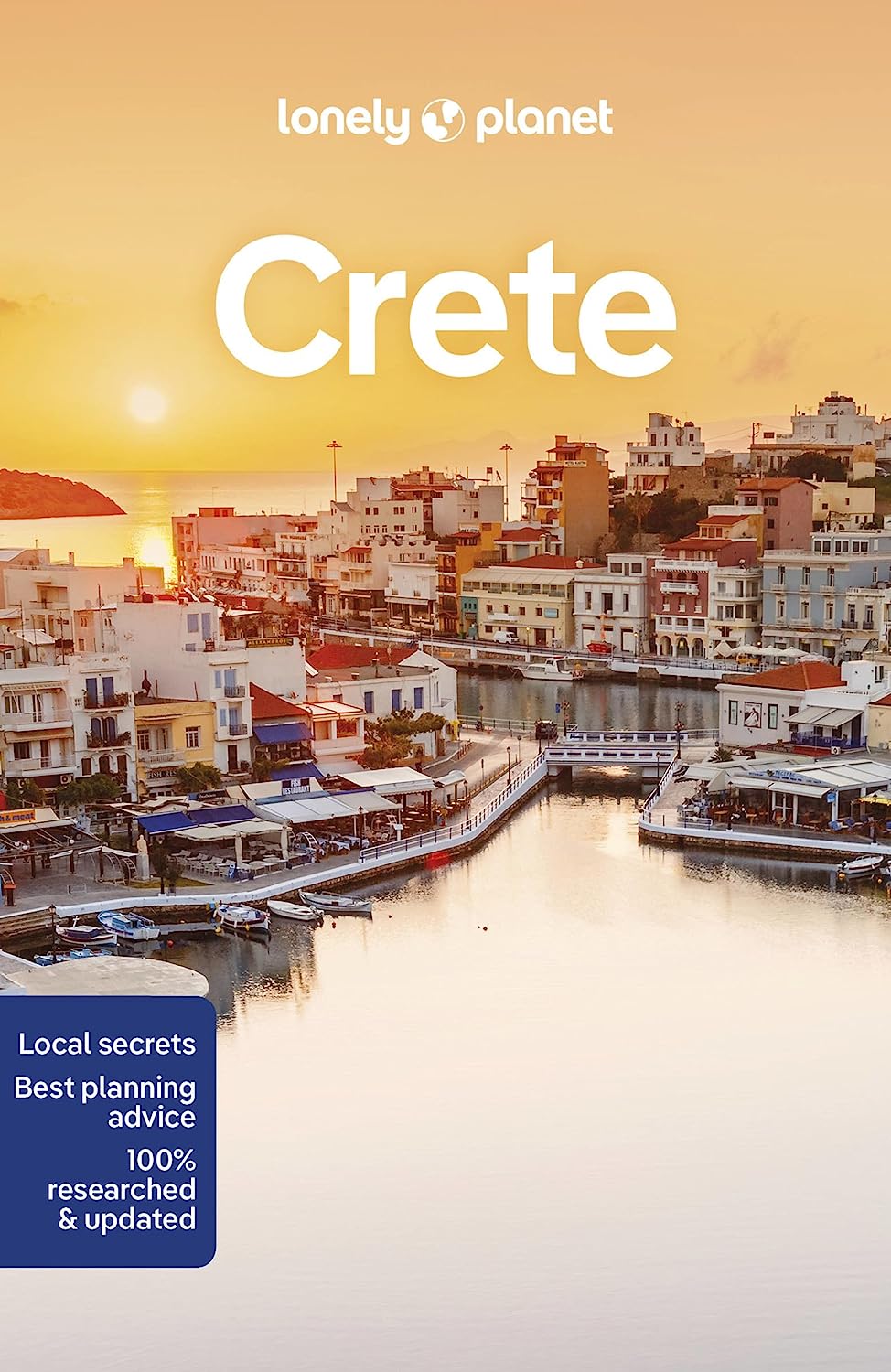
- Reisgids Merian live Kreta | Deltas
- Handige en overzichtelijke, kleine reisgids voor een eerste kennismaking met het land. Voor- en achterin uitklapbare kaart. Aandacht voor o.a. taal, festivals en eten en drinken. Prettig formaat en toch met veel foto’s. Nederlands Read more
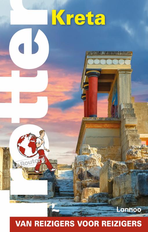
De Zwerver
Netherlands
2021
Netherlands
2021
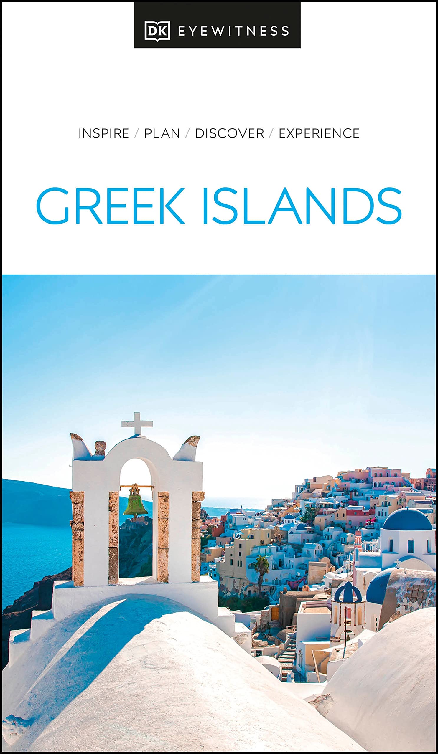
- Reisgids Eyewitness Travel The Greek Islands - Griekse Eilanden | Dorling Kindersley
- Explore hundreds of irresistible islands.Whether you want to follow in the footsteps of legendary heroes at the Minoan palace, swim in the turquoise waters of idyllic Zakynthos bay, or watch the sun set over Corfu from Kaiser`s throne, your DK Eyewitness travel guide makes sure you experience all that the Greek Islands have to offer.The perfect... Read more
- Also available from:
- Stanfords, United Kingdom

Stanfords
United Kingdom
2021
United Kingdom
2021
- DK Eyewitness Greek Islands
- Explore hundreds of irresistible islands.Whether you want to follow in the footsteps of legendary heroes at the Minoan palace, swim in the turquoise waters of idyllic Zakynthos bay, or watch the sun set over Corfu from Kaiser`s throne, your DK Eyewitness travel guide makes sure you experience all that the Greek Islands have to offer.The perfect... Read more
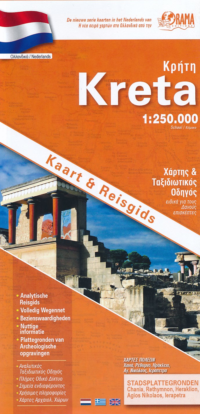
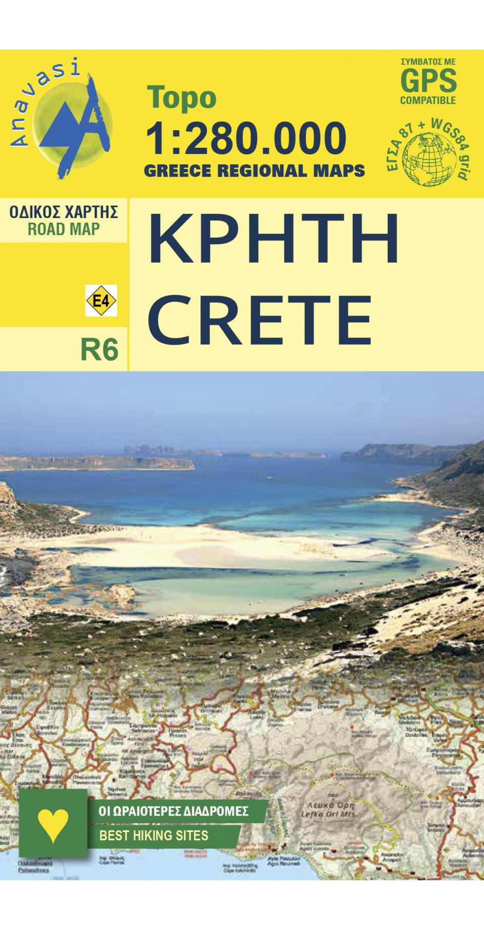
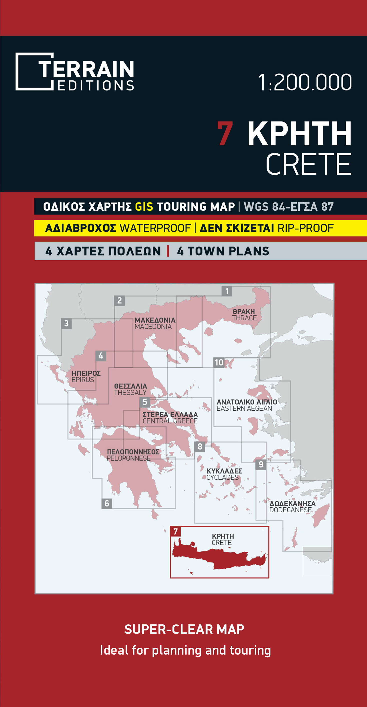
Kaarten

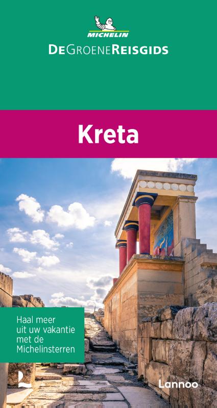
De Zwerver
Netherlands
2016
Netherlands
2016
- Wandelgids The Cretan Way E4 | Anavasi
- The Cretan Way is a 500km walking route which takes you from east to west across the varied and spectacular landscapes of Crete. It is the ideal way to discover the rural, mountainous and costal regions of this incredible island. This guide is based on a 28-day walk.This guide includes practical information, maps at a scale of 1:25.000 of... Read more
- Also available from:
- Stanfords, United Kingdom

Stanfords
United Kingdom
2016
United Kingdom
2016
- The Cretan Way - A 28 Day Walk
- The Cretan Way is a 500km walking route which takes you from east to west across the varied and spectacular landscapes of Crete. It is the ideal way to discover the rural, mountainous and costal regions of this incredible island. This guide is based on a 28-day walk.This guide includes practical information, maps at a scale of 1:25.000 of... Read more
De Zwerver
Netherlands
Netherlands
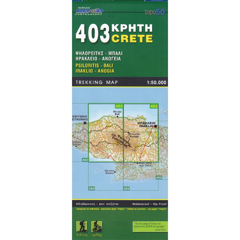
- Wandelkaart 403 Crete - Kreta | Road Editions
- Uitstekende wandelkaart van een deel van Kreta. De kaart is gedrukt op watervast en onverscheurbaar papier. hierdoor gaat deze veel langer mee! De wandelkaart heeft alle noodzakelijke details voor wandelen of fietsen: naast de topografische informatie als hoogtelijnen, alle plaatsnamen (zowel Grieks als Europees schrift), het wegennet, rivieren... Read more
De Zwerver
Netherlands
2018
Netherlands
2018
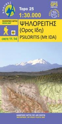
- Wandelkaart 11.14 Psiloritis (Mt. Idha) | Anavasi
- Uitstekende topografische kaarten van een deel van Griekenland: zonder meer hele goede kaarten voor wandeltochten in een onbekend stuk Griekenland! Ze zijn gedrukt op scheurvast en watervast papier op een schaal van 1:25.000 met een UTM grid voor GPS gebruikers. Op de meeste kaarten is geven de hoogtelijnen een interval van 20m. aan. Met... Read more
De Zwerver
Netherlands
Netherlands
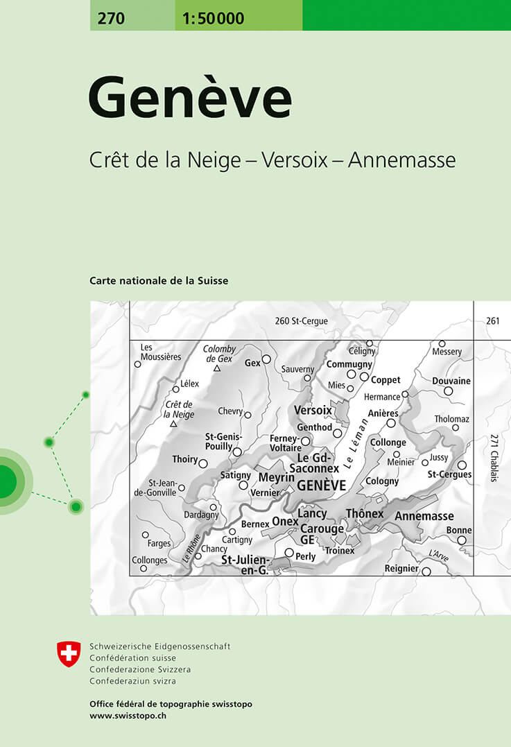
- Wandelkaart - Topografische kaart 270 Genève | Swisstopo
- Geneva, map No. 270, in the standard topographic survey of Switzerland at 1:50,000 from Swisstopo, i.e. without the special overprint highlighting walking trails, local bus stops, etc, presented in Swisstopo Read more
- Also available from:
- Stanfords, United Kingdom

Stanfords
United Kingdom
United Kingdom
- Geneva Swisstopo 270
- Geneva, map No. 270, in the standard topographic survey of Switzerland at 1:50,000 from Swisstopo, i.e. without the special overprint highlighting walking trails, local bus stops, etc, presented in Swisstopo’s hiking editions of the 50K survey. The map covers the south-western tip of Lake Geneva and includes the French territory with Gex and... Read more
De Zwerver
Netherlands
Netherlands
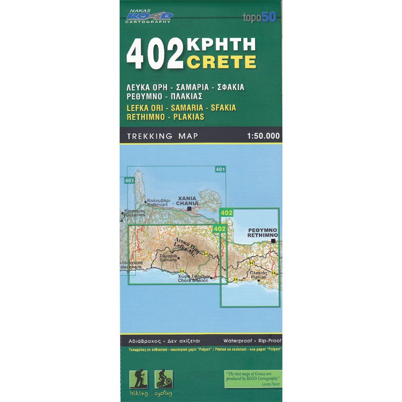
- Wandelkaart 402 Crete - Kreta | Road Editions
- Uitstekende wandelkaart van een deel van Kreta. De kaart is gedrukt op watervast en onverscheurbaar papier. hierdoor gaat deze veel langer mee! De wandelkaart heeft alle noodzakelijke details voor wandelen of fietsen: naast de topografische informatie als hoogtelijnen, alle plaatsnamen (zowel Grieks als Europees schrift), het wegennet, rivieren... Read more
De Zwerver
Netherlands
Netherlands
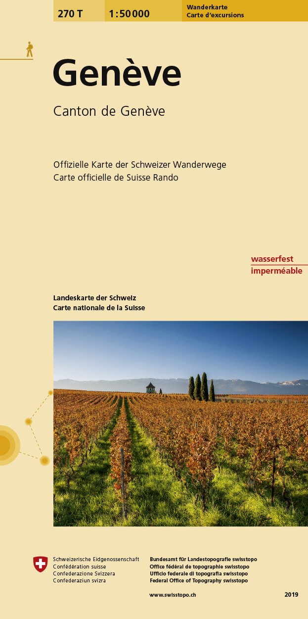
- Wandelkaart 270T Genève | Swisstopo
- Geneva area, map No. 270T, at 1:50,000 in a special hiking edition of the country Read more
- Also available from:
- Stanfords, United Kingdom

Stanfords
United Kingdom
United Kingdom
- Geneva Swisstopo Hiking 270T
- Geneva area, map No. 270T, at 1:50,000 in a special hiking edition of the country’s topographic survey, published by Swisstopo in cooperation with the Swiss Hiking Federation. The map covers the south-western tip of Lake Geneva and includes the French territory with Gex and Crête de la Neige, the highest peak in the Jura mountains.Cartography,... Read more
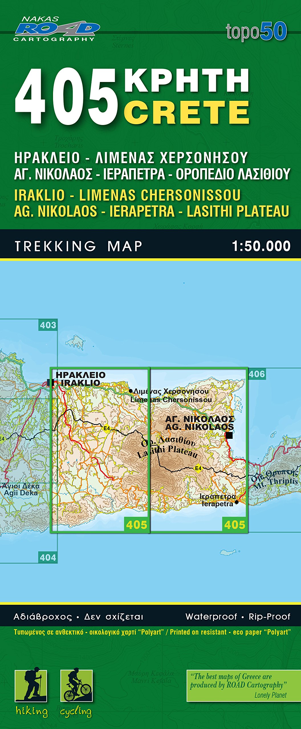
De Zwerver
Netherlands
Netherlands
- Wandelkaart 405 Crete - Kreta | Road Editions
- Uitstekende wandelkaart van een deel van Kreta. De kaart is gedrukt op watervast en onverscheurbaar papier. hierdoor gaat deze veel langer mee! De wandelkaart heeft alle noodzakelijke details voor wandelen of fietsen: naast de topografische informatie als hoogtelijnen, alle plaatsnamen (zowel Grieks als Europees schrift), het wegennet, rivieren... Read more
De Zwerver
Netherlands
Netherlands
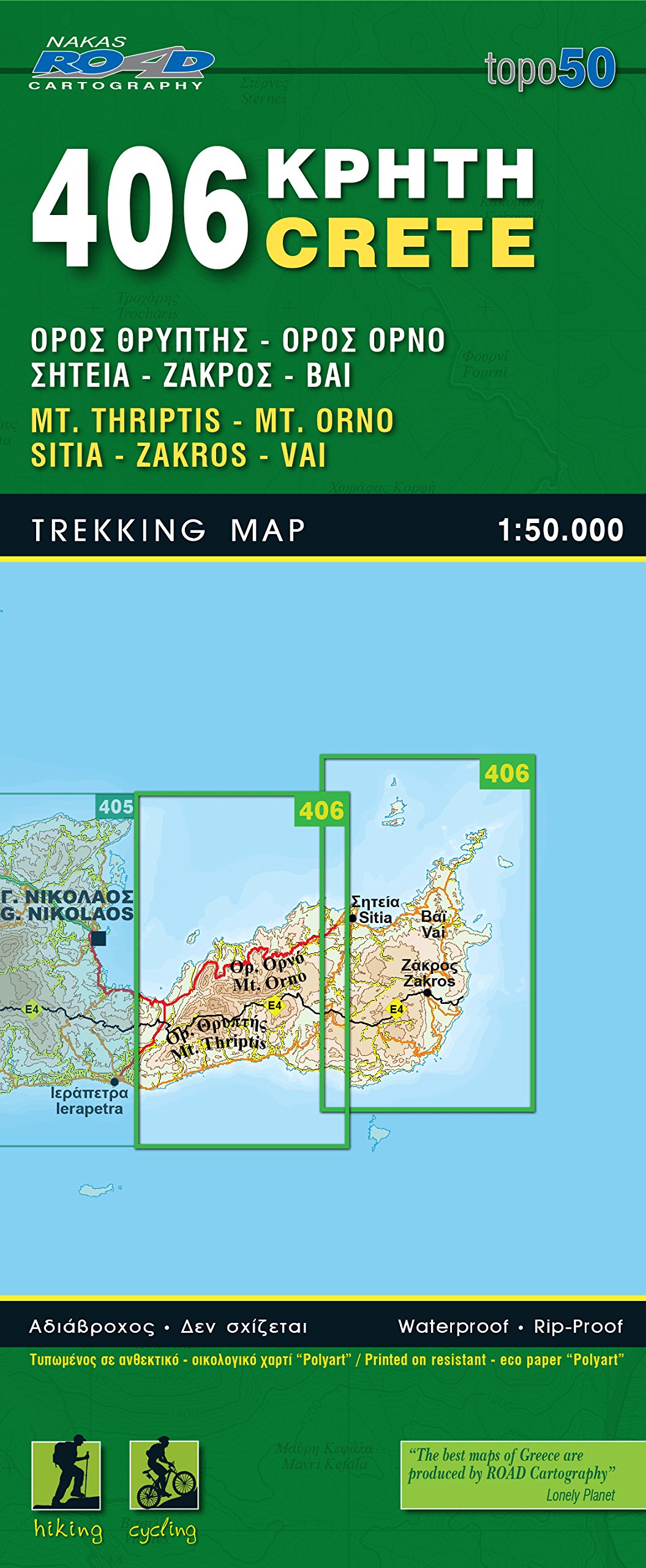
- Wandelkaart 406 Crete - Kreta | Road Editions
- Uitstekende wandelkaart van een deel van Kreta. De kaart is gedrukt op watervast en onverscheurbaar papier. hierdoor gaat deze veel langer mee! De wandelkaart heeft alle noodzakelijke details voor wandelen of fietsen: naast de topografische informatie als hoogtelijnen, alle plaatsnamen (zowel Grieks als Europees schrift), het wegennet, rivieren... Read more
De Zwerver
Netherlands
Netherlands
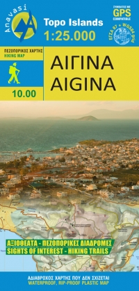
- Wandelkaart 10.00 Aigina | Anavasi
- Aegina at 1:25,000 on light, waterproof and tear-resistant, GPS compatible and contoured map from Anavasi, with on the reverse a simplified map of the island for sightseeing and recommended hiking trails.On one side is a contoured map of the island (interval 20m), with additional altitude colouring and shading. All place names are in both Greek... Read more
- Also available from:
- Stanfords, United Kingdom

Stanfords
United Kingdom
United Kingdom
- Aigina / Aegina Anavasi 10.00
- Aegina at 1:25,000 on light, waterproof and tear-resistant, GPS compatible and contoured map from Anavasi, with on the reverse a simplified map of the island for sightseeing and recommended hiking trails.On one side is a contoured map of the island (interval 20m), with additional altitude colouring and shading. All place names are in both Greek... Read more