
Julische Alpen
Beschrijving

The Julian Alps are located in the triangle of Austria, Italy and Slovenia. Officially, Austria has no share in these Alps, while the main and highest - and most spectacular - part of them is situated in Slovenia: the Triglav Mountains.
The Julian Alps are part of the Southern Limestone Alps. Like the Northern Limestone Alps, these mountains are characterized by steep, sharp, white limestone massifs. They reach their highest point in the Triglav (2.864 m). This mountain is easy to climb for the sure-footed (rope recommended). Connections between huts sometimes are stunning demonstrations of trail hewing, making forbidding rock faces accessible. Not recommended for those suffering from vertigo.
The area has a pronounced sweet side too: beautiful forests and lakes, and also picturesque farmland on the lower plains. This is making for some very enjoyable hikes in view of the white teethed crests.
Kaart


Paden in deze regio
Links
Feiten
Verslagen
Gidsen en kaarten
Overnachting
Organisaties
Reisorganisaties
GPS
Anders
Boeken
Netherlands
2022
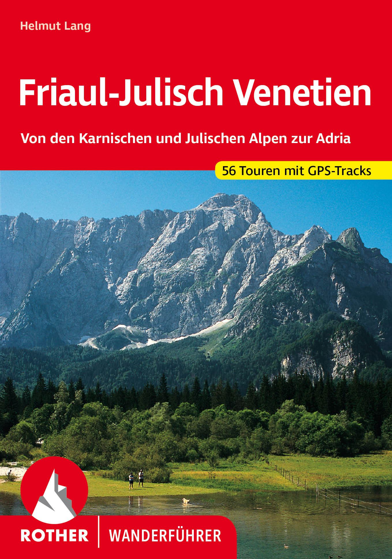
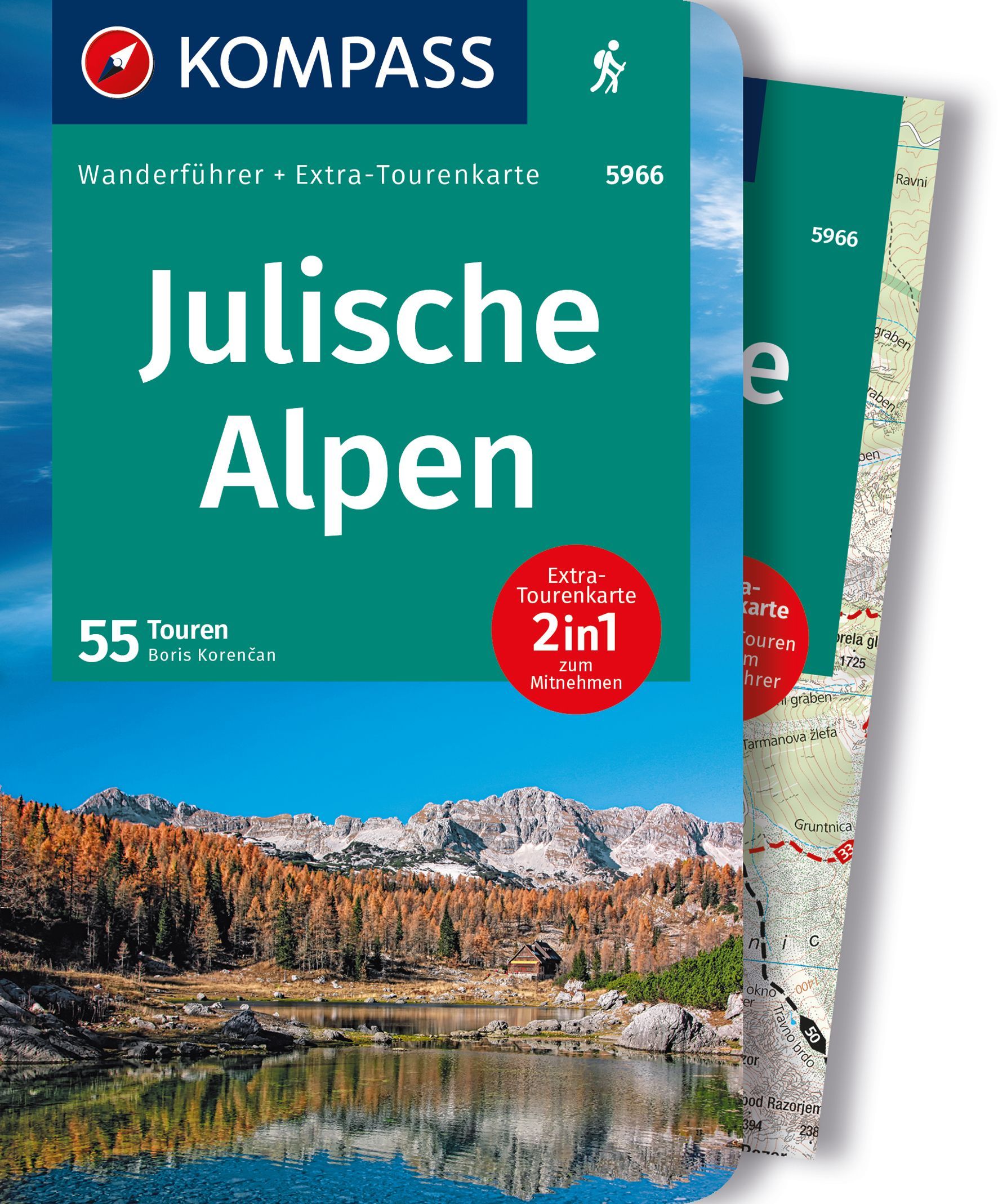
- Wandelgids 40 Friaul - Julisch Venetien - Venetië | Rother Bergverlag
- Duitstalige wandelgids met zeer goed beschreven wandelingen in de genoemde gebieden. Redelijk kaartmateriaal, vooral de beschrijving van de route en de praktische info die er bij hoort is meer dan goed. Over alle eilanden verspreid. Friaul-Julisch Venetien welch geheimnisvoller Zauber schwingt in diesen Worten mit! Sie bezeichnen eine Region im... Read more

Netherlands
2022
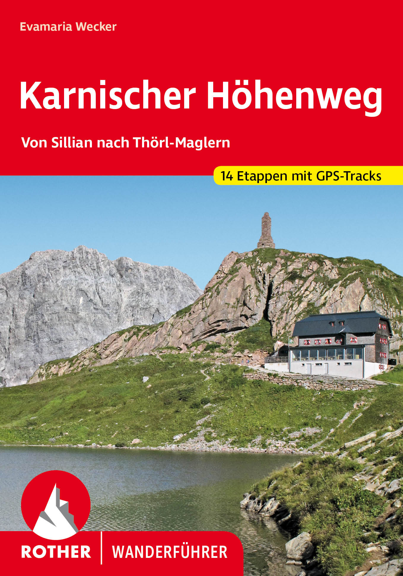
- Wandelgids Karnischer Höhenweg | Rother Bergverlag
- Goede duidelijke beschrijving van deze meerdaagse wandeltocht. Voldoende info, zelfs kaartjes zijn behoorlijk goed en voldoende! Unter den Mehrtagestouren von Hütte zu Hütte nimmt der Karnische Höhenweg eine Sonderstellung ein: Er »verdankt« seine Entstehung der österreichisch-italienischen Frontlinie im Ersten Weltkrieg, die sich entlang der... Read more

Netherlands
2022
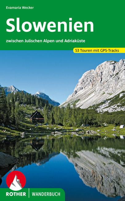
- Wandelgids Slowenien - Slovenie | Rother Bergverlag
- 52 Touren zwischen Julischen Alpen und Adriaküste. Mit GPS-Daten Rother Wanderbuch. 1. Auflage. Read more
Netherlands
2014
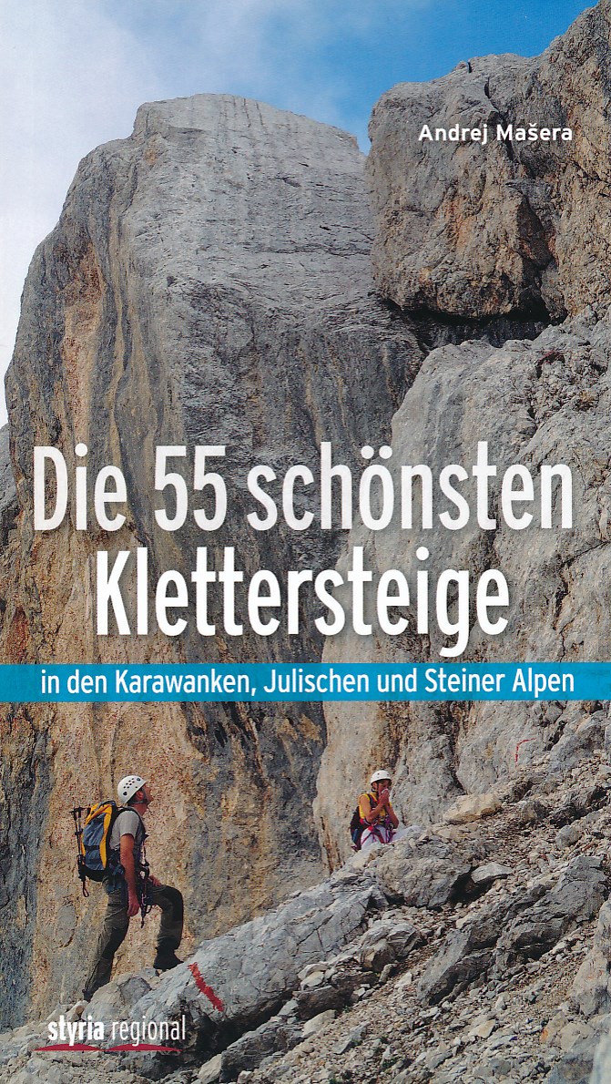
- Klimgids - Klettersteiggids Die 55 schönsten Klettersteige | Styria Verlag
- Die Julischen Alpen sind für viele Bergsteiger ein unbekanntes Gebiet. Dabei zählt dieses Gebirge neben den Dolomiten zu den faszinierendsten Klettersteigrevieren der Welt. Spektakuläre Anstiege durch mächtige Felswände; scharfe Grate und grandiose Gipfelerlebnisse bietet Andrej Ma eras kompakter Führer zu den schönsten Klettersteig- Routen... Read more

- Also available from:
- Stanfords, United Kingdom

United Kingdom
2019
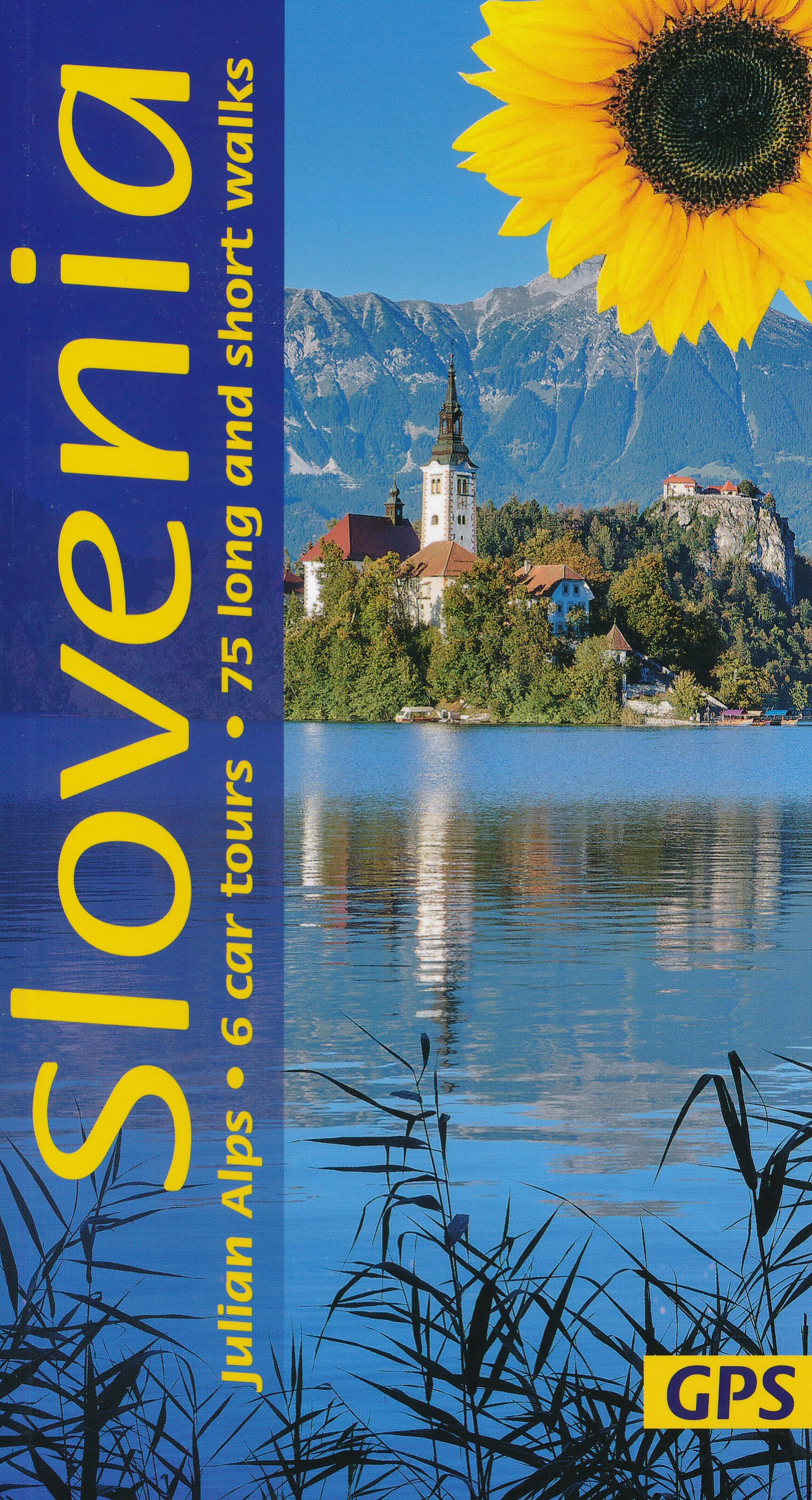
- Slovenia Sunflower Landscape Guide
- Several new walks have been added in this 5th edition, which was checked on the ground a few months prior to publication. The maps have been redesigned with waypoints, and GPS tracks are now available for all the walks. The book is one of the first in our new wider format: no mapping is lost in the gutter. Read more

Netherlands
2017
- The Swiss alpine pass route - Via Alpina route 1
- This guidebook presents the stunning Alpine Pass Route, now fully waymarked as Via Alpina 1. The 360km trail traverses Switzerland from east to west, from Sargans near the Liechtenstein border to Montreux on Lac Léman (Lake Geneva). Crossing sixteen Alpine passes, it showcases some of the country's most breathtaking mountain landscapes,... Read more
- Also available from:
- Bol.com, Belgium
- Stanfords, United Kingdom
Belgium
2017
- The Swiss alpine pass route - Via Alpina route 1
- This guidebook presents the stunning Alpine Pass Route, now fully waymarked as Via Alpina 1. The 360km trail traverses Switzerland from east to west, from Sargans near the Liechtenstein border to Montreux on Lac Léman (Lake Geneva). Crossing sixteen Alpine passes, it showcases some of the country's most breathtaking mountain landscapes,... Read more

United Kingdom
2017
- The Swiss Alpine Pass Route - via Alpina Route 1: Trekking East to West Across Switzerland
- This guidebook presents the stunning Alpine Pass Route, now fully waymarked as Via Alpina 1. The 360km trail traverses Switzerland from east to west, from Sargans near the Liechtenstein border to Montreux on Lac Leman (Lake Geneva). Crossing sixteen Alpine passes, it showcases some of the country`s most breathtaking mountain landscapes,... Read more
Netherlands
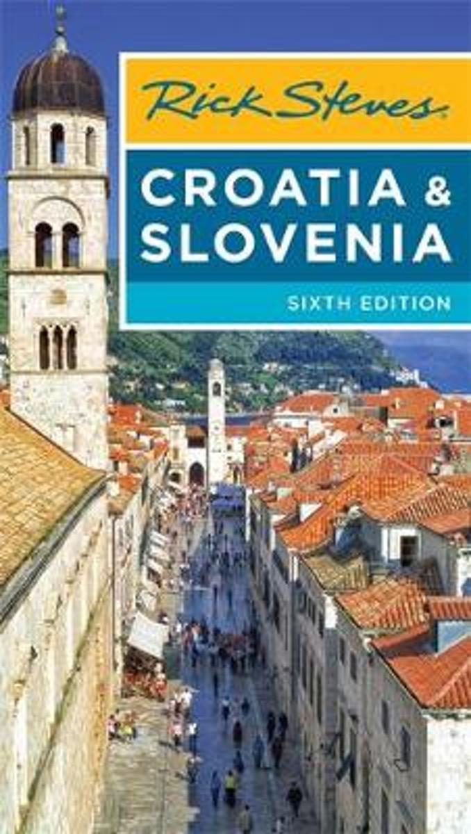
- Rick Steves Croatia & Slovenia (Sixth Edition)
- You can count on Rick Steves to tell you what you really need to know when traveling to Croatia and Slovenia.With this guide, youll explore charming towns and undiscovered natural wonders. Stroll atop the walls that encircle romantic Dubrovnik, wander through the Roman ruins in the heart of bustling Split, and set sail to the islands of... Read more
- Also available from:
- Bol.com, Belgium
Belgium
- Rick Steves Croatia & Slovenia (Sixth Edition)
- You can count on Rick Steves to tell you what you really need to know when traveling to Croatia and Slovenia.With this guide, youll explore charming towns and undiscovered natural wonders. Stroll atop the walls that encircle romantic Dubrovnik, wander through the Roman ruins in the heart of bustling Split, and set sail to the islands of... Read more
Netherlands
2018
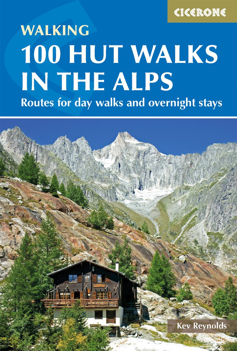
- Wandelgids 100 Hut Walks In The Alps | Cicerone
- This guidebook has route descriptions for 100 day walks to suit alpine walkers of all abilities, with suggestions for some hut-to-hut tours. These routes take you through breathtaking scenery in the Maritime Alps, Julian Alps, Gran Paradiso, the Turnitzer Alps, Bernese Oberland, the Kitzbuheler Alps and the Dolomites of South Tirol. Read more
- Also available from:
- Bol.com, Netherlands
- Bol.com, Belgium
- Stanfords, United Kingdom
- The Book Depository, United Kingdom
Netherlands
2014
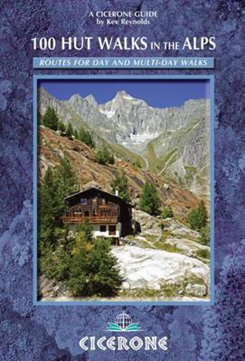
- 100 Hut Walks in the Alps
- This popular guidebook by Alpine expert Kev Reynolds describes 100 routes to suit Alpine walkers of all abilities, with suggestions for some hut-to-hut tours. The routes are grouped, first under the individual country, and covers France, Switzerland, Italy, Austria and Slovenia. Then arranged by specific Alpine districts enabling you to put... Read more
Belgium
2014
- 100 Hut Walks in the Alps
- This popular guidebook by Alpine expert Kev Reynolds describes 100 routes to suit Alpine walkers of all abilities, with suggestions for some hut-to-hut tours. The routes are grouped, first under the individual country, and covers France, Switzerland, Italy, Austria and Slovenia. Then arranged by specific Alpine districts enabling you to put... Read more

United Kingdom
2014
- Alps - 100 Hut Walks
- 100 Hut Walks in the Alps is experienced walker Kev Reynolds’ Cicerone guide to a selection of walks following the chain of mountain huts that are strung out across the Alps. The guide covers a selection of Alpine walks in France, Switzerland, Italy, Austria and Slovenia and the huts range from unmanned bivouac shelters to bustling mountain... Read more

United Kingdom
2014
- 100 Hut Walks in the Alps
- Routes for day walks and overnight stays in France, Switzerland, Italy, Austria and Slovenia Read more

Netherlands
- Over the Top & Back Again
- Book of the Year Bronze Award 2010 (travel essays category), ForeWord Magazine After hiking some of the world's great trails, Brandon Wilson was excited to hear about the Via Alpina, paths running across eight countries on the backbone of the Alps. Besides promising immersion into Alpine life and wilderness, it was the ultimate adventure. It... Read more
- Also available from:
- Bol.com, Belgium
Belgium
- Over the Top & Back Again
- Book of the Year Bronze Award 2010 (travel essays category), ForeWord Magazine After hiking some of the world's great trails, Brandon Wilson was excited to hear about the Via Alpina, paths running across eight countries on the backbone of the Alps. Besides promising immersion into Alpine life and wilderness, it was the ultimate adventure. It... Read more
Kaarten

Netherlands
- Wandelkaart 08 Alpi marittime e Liguri | IGC - Istituto Geografico Centrale
- A cross-border area of the Maritime and Ligurian Alps at 1:50,000, with coverage on the Italian side including Limone, Alpi Maritime PN and Alta Valle Pesio e Tanaro PN, plus in France Tende, Vallée des Merveilles and Saorge, in a series contoured hiking maps with local trails, long-distance footpaths, mountain accommodation, etc. from the... Read more
- Also available from:
- Stanfords, United Kingdom

United Kingdom
- Maritime and Ligurian Alps IGC 8
- A cross-border area of the Maritime and Ligurian Alps at 1:50,000, with coverage on the Italian side including Limone, Alpi Maritime PN and Alta Valle Pesio e Tanaro PN, plus in France Tende, Vallée des Merveilles and Saorge, in a series contoured hiking maps with local trails, long-distance footpaths, mountain accommodation, etc. from the... Read more
Netherlands
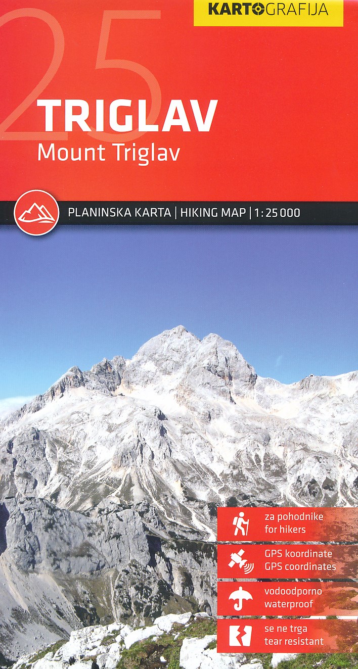
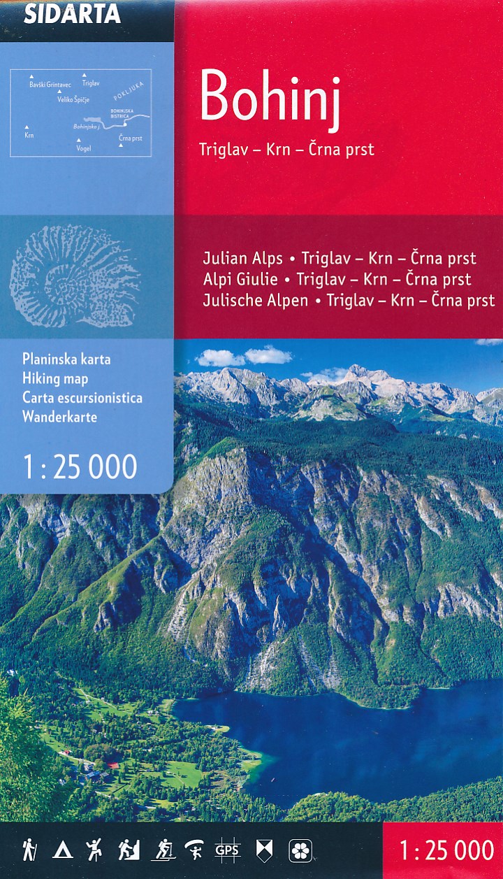
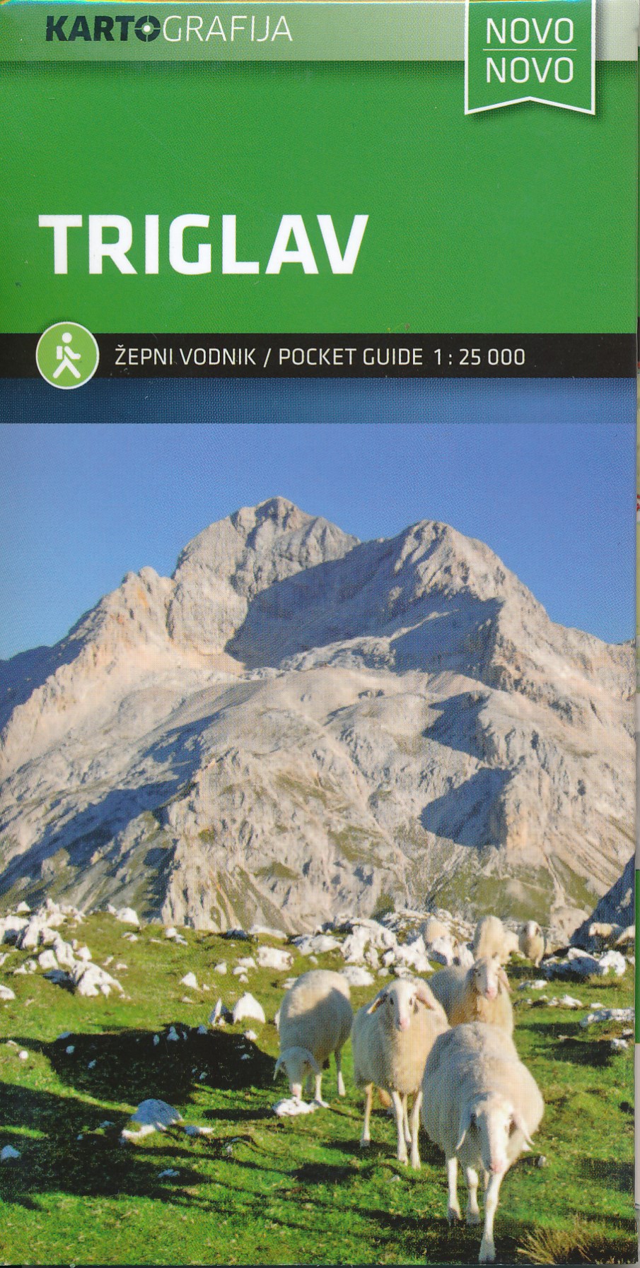
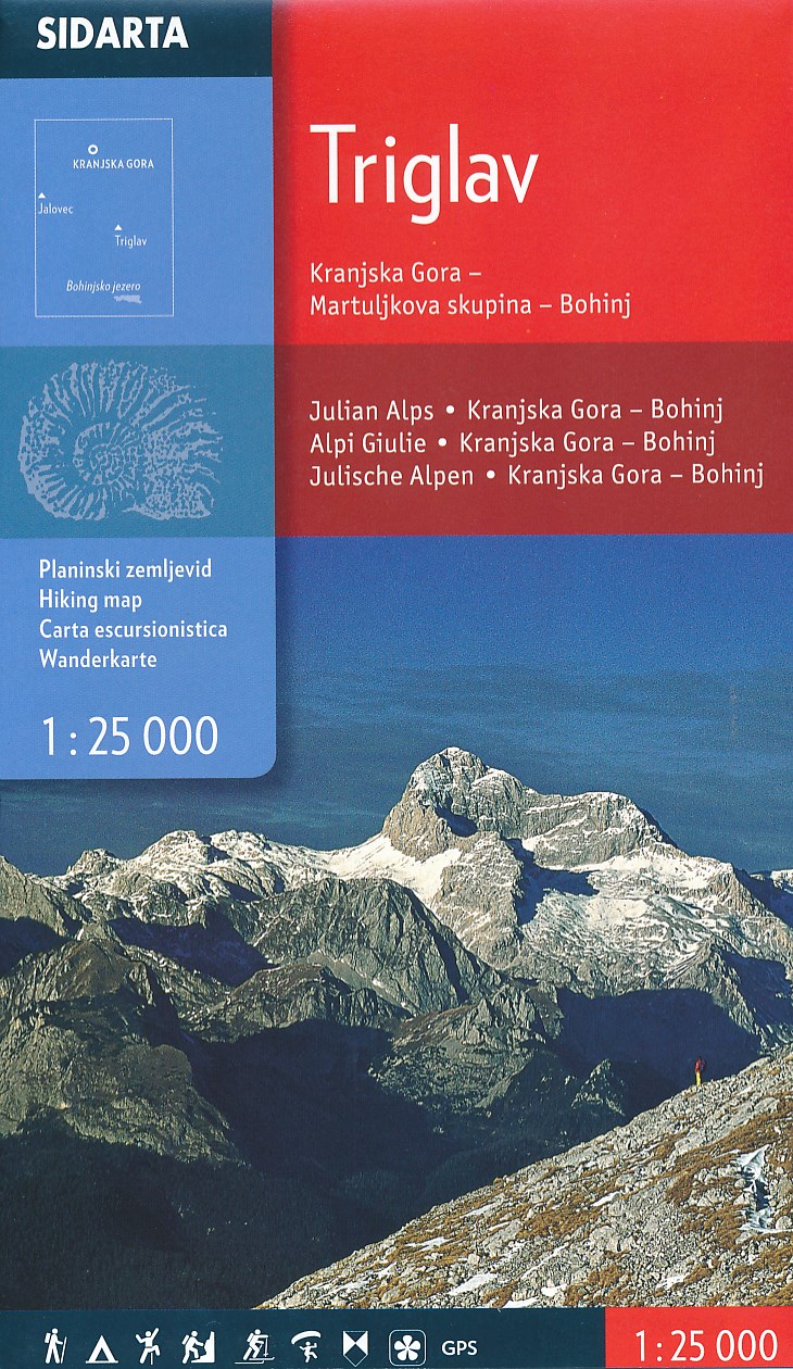
- Wandelkaart Triglav | Kartografija
- Uitstekende wandel- en klimkaart van de Triglav en directe omgeving. Met ingetekende routes, alle berghutten met foto en gegevens. Mooi gedetailleerd met een schaal van 1:25.000. De ideale wandelkaart voor de heilige berg voor de Slovenen: iedereen moet er in zijn of haar leven op hebben gestaan! Gedrukt op watervast papier. Read more

Netherlands
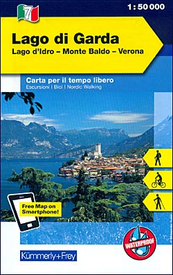
- Wandelkaart - Fietskaart 07 Outdoorkarte IT Gardasee - Gardameer | Kümmerly & Frey
- Lake Garda - Lake d'Idro - Monte Baldo - Verona area at 1:50,000 in a series of waterproof and tear-resistant, GPS compatible and contoured recreational maps from K Read more
- Also available from:
- Stanfords, United Kingdom
United Kingdom
- Lake Garda - Lake Idro - Monte Baldo - Verona K+F Outdoor Map 7
- Lake Garda - Lake d`Idro - Monte Baldo - Verona area at 1:50,000 in a series of waterproof and tear-resistant, GPS compatible and contoured recreational maps from Kümmerly + Frey with both local and long-distance hiking and cycling trails, ski routes, sites for other outdoor pursuits, accommodation, bus stops, etc. An inset provides a small... Read more

- Also available from:
- Stanfords, United Kingdom

United Kingdom
- Langhe Meridionali IGC 18
- The southern part of the Langhe region of Piedmont, famous for its wines, cheeses, and truffles, in a series contoured hiking maps at 1:50,000 with local trails, long-distance footpaths, mountain accommodation, etc. from the Turin based Istituto Geografico Centrale.Maps in this series have contours at 50m intervals, enhanced by shading and... Read more

Netherlands
- Wandelkaart 03 Il parco nazionale del Gran Paradiso | IGC - Istituto Geografico Centrale
- Gran Paradiso National Park in a series contoured hiking maps at 1:50,000 with local trails, long-distance footpaths, mountain accommodation, etc, from the Turin based Istituto Geografico Centrale. This new edition published in late 2013 highlights, among other routes, the GTA (Grande Traversata delle Alpi), Via Alpina and Alta Via 2. Coverage... Read more
- Also available from:
- Stanfords, United Kingdom

United Kingdom
- Gran Paradiso National Park IGC 3
- Gran Paradiso National Park in a series contoured hiking maps at 1:50,000 with local trails, long-distance footpaths, mountain accommodation, etc, from the Turin based Istituto Geografico Centrale. The map highlights, among other routes, the GTA (Grande Traversata delle Alpi), Via Alpina and Alta Via 2. Coverage extends from Aosta at the top of... Read more

Netherlands
- Wandelkaart 17 Torino, Pinerolo e Bassa val di Susa | IGC - Istituto Geografico Centrale
- Turin - Pinerolo - Lower Susa Valley, map no. 17, in a series contoured hiking maps at 1:50,000 with local trails, long-distance footpaths, mountain accommodation, etc. from the Turin based Istituto Geografico Centrale covering the Italian Alps and Piedmont, the lakes and northern Lombardy, and the Italian Riviera.The maps have contours at 50m... Read more
- Also available from:
- Stanfords, United Kingdom

United Kingdom
- Turin - Pinerolo - Lower Susa Valley 50K IGC Map No. 17
- Turin - Pinerolo - Lower Susa Valley area of Piedmont in a series contoured hiking maps at 1:50,000 with local trails, long-distance footpaths, mountain accommodation, etc. from the Turin based Istituto Geografico Centrale.Maps in this series have contours at 50m intervals, enhanced by shading and graphic relief. An overprint highlights local... Read more

Netherlands
- Wandelkaart 14 San Remo, imperia Monte Carlo | IGC - Istituto Geografico Centrale
- The westernmost part of the Italian Riviera with coverage extending from Monte Carlo to Imperia and northwards to Tende, in a series contoured hiking maps at 1:50,000 with local trails, long-distance footpaths, mountain accommodation, etc. from the Turin based Istituto Geografico Centrale.Maps in this series have contours at 50m intervals,... Read more
- Also available from:
- Stanfords, United Kingdom

United Kingdom
- San Remo - Imperia - Monte Carlo IGC 14
- The westernmost part of the Italian Riviera with coverage extending from Monte Carlo to Imperia and northwards to Tende, in a series contoured hiking maps at 1:50,000 with local trails, long-distance footpaths, mountain accommodation, etc. from the Turin based Istituto Geografico Centrale.Maps in this series have contours at 50m intervals,... Read more
Netherlands

Netherlands
- Wandelkaart 04 Massiccio del Monte Bianco | IGC - Istituto Geografico Centrale
- The Mont Blanc Massif in a series contoured hiking maps at 1:50,000 with local trails, long-distance footpaths, mountain accommodation, etc, from the Turin based Istituto Geografico Centrale. This new edition published in late 2013 highlights, among other routes, the Alta Via 1 and the northern section of the Alta Via 2, both of which join up... Read more
- Also available from:
- Stanfords, United Kingdom

United Kingdom
- Mont Blanc Massif IGC 4
- The Mont Blanc Massif in a series contoured hiking maps at 1:50,000 with local trails, long-distance footpaths, mountain accommodation, etc, from the Turin based Istituto Geografico Centrale. The map highlights, among other routes, the Alta Via 1 and the northern section of the Alta Via 2, both of which join up with TMB, as well as the local... Read more

Netherlands
- Wandelkaart 20 Il Monferrato da Asti a Casale Monferrato | IGC - Istituto Geografico Centrale
- Il Monferrato, map no. 20, in a series contoured hiking maps at 1:50,000 with local trails, long-distance footpaths, mountain accommodation, etc. from the Turin based Istituto Geografico Centrale covering the Italian Alps and Piedmont, the lakes and northern Lombardy, and the Italian Riviera.The maps have contours at 50m intervals, enhanced by... Read more
- Also available from:
- Stanfords, United Kingdom

United Kingdom
- Il Monferrato: Asti - Casale Monferrato 50K IGC Map No. 20
- The Monferrato region of Piedmont east of Turin, between Asti and Casale Monferrato, in a series contoured hiking maps at 1:50,000 with local trails, long-distance footpaths, mountain accommodation, etc. from the Turin based Istituto Geografico Centrale. This title also shows local cycle routes.Maps in this series have contours at 50m... Read more
Netherlands
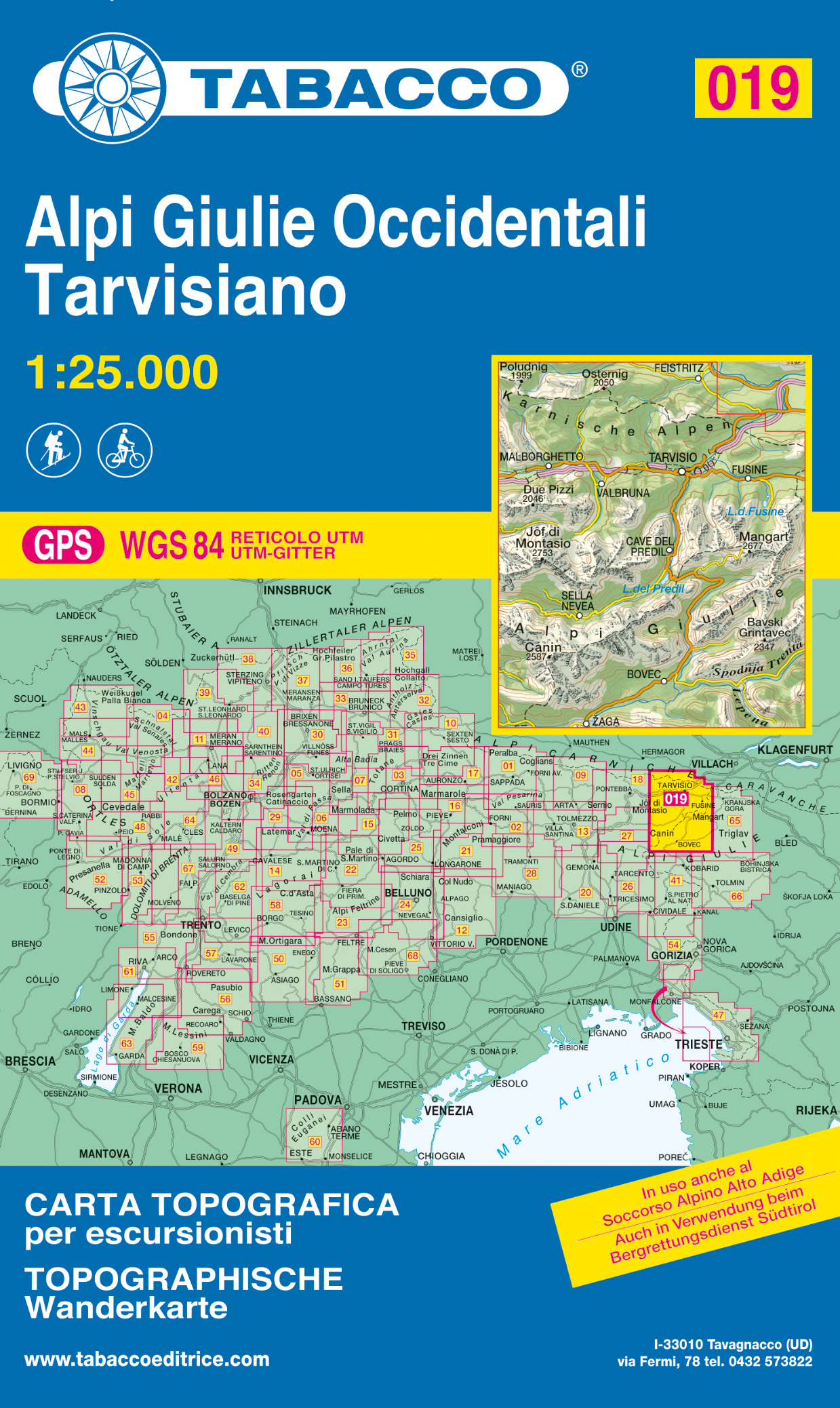
- Wandelkaart 019 Alpi Giulie Occidentali - Tarvisiano | Tabacco Editrice
- Alpi Giulie Occidentali – Tarvisiano area in a series of Tabacco maps at 1:25,000 covering the Dolomites and the mountains of north-eastern Italy - Stanfords’ most popular coverage for this region, with excellent cartography and extensive overprint for hiking routes and other recreational activities, local bus stops, etc. Additional overprint... Read more
- Also available from:
- Stanfords, United Kingdom

United Kingdom
- Alpi Giulie Occidentali - Tarvisiano Tabacco 019
- Alpi Giulie Occidentali – Tarvisiano area in a series of Tabacco maps at 1:25,000 covering the Dolomites and the mountains of north-eastern Italy - Stanfords’ most popular coverage for this region, with excellent cartography and extensive overprint for hiking routes and other recreational activities, local bus stops, etc. Additional overprint... Read more
Netherlands

Netherlands
- Wandelkaart 05 Cervino Matterhorn e Monte Rosa | IGC - Istituto Geografico Centrale
- Matterhorn/M.Cervino and Monte Rosa, map no. 5, in a series contoured hiking maps at 1:50,000 with local trails, long-distance footpaths, mountain accommodation, etc. from the Turin based Istituto Geografico Centrale covering the Italian Alps and Piedmont, the lakes and northern Lombardy, and the Italian Riviera.The maps have contours at 50m... Read more
- Also available from:
- Stanfords, United Kingdom

United Kingdom
- Matterhorn / M. Cervino - Monte Rosa IGC 5
- The Italian side of the Matterhorn and Monte Rosa, with coverage extending from Zermatt to Aosta, in a series contoured hiking maps at 1:50,000 with local trails, long-distance footpaths, mountain accommodation, etc. from the Turin based Istituto Geografico Centrale. Maps in this series have contours at 50m intervals, enhanced by shading and... Read more